19 Times Nature Reshaped Earth in a Dramatic Way
The raw power of nature has repeatedly reshaped our planet’s surface, leaving permanent marks that we can still observe today. From ancient volcanic eruptions that created new islands to modern earthquakes that shifted coastlines, these events remind us of Earth’s dynamic nature.
While many natural disasters cause temporary damage that eventually heals, some are so powerful they permanently alter the landscape, creating new geographic features or destroying existing ones entirely.
Here is a list of remarkable natural disasters that literally changed the face of our planet, leaving behind permanent reminders of nature’s incredible force.
Mount St. Helens Eruption
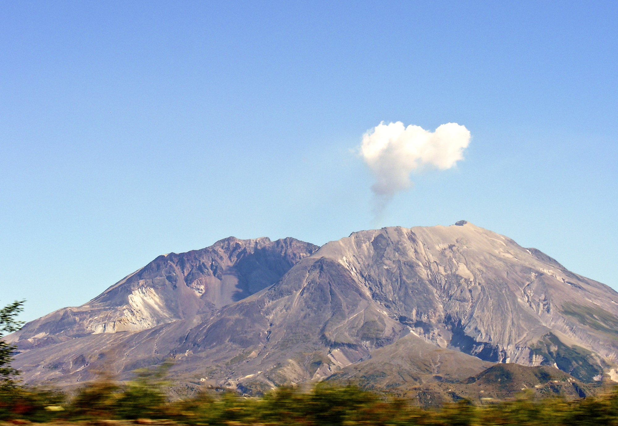
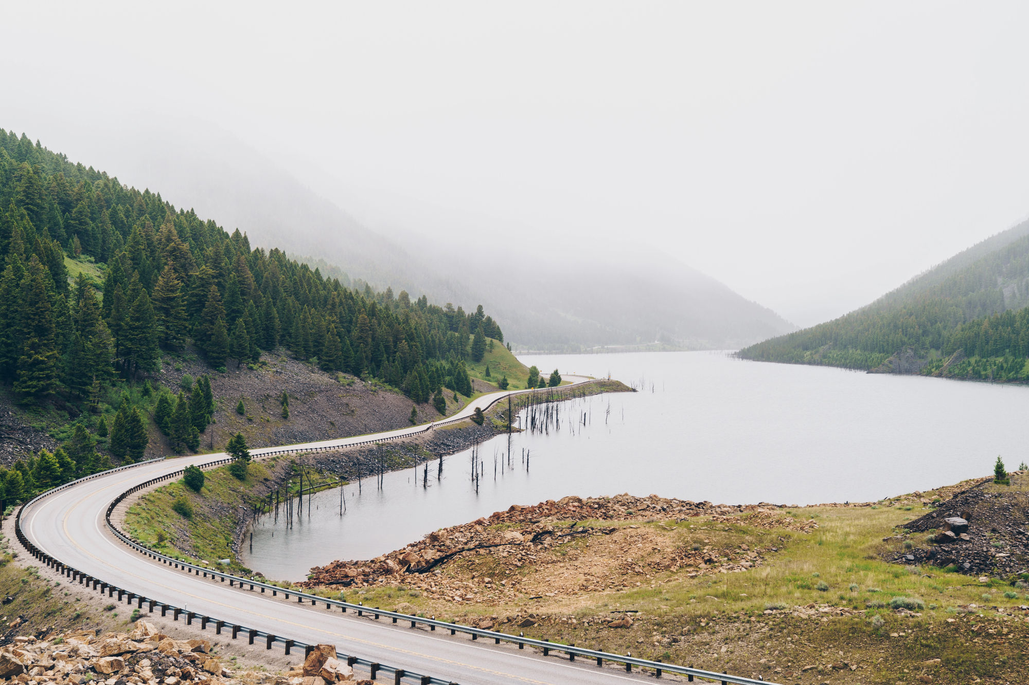
The 1980 eruption of Mount St. Helens in Washington state didn’t just blow its top – it completely transformed an entire mountain range. The volcano lost 1,300 feet of elevation in seconds, turning from a symmetrical peak to a horseshoe-shaped crater.
The blast leveled 230 square miles of forest, creating a lunar-like landscape that’s still recovering today. The debris avalanche remains the largest in recorded history, dramatically altering the Toutle River system and creating multiple new lakes.
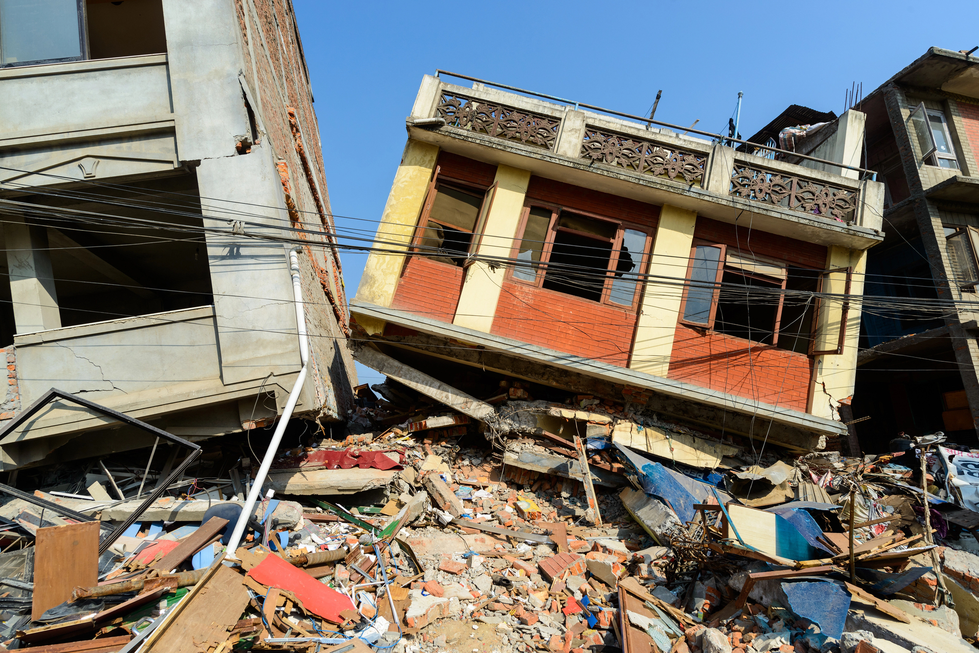
Indian Ocean Earthquake
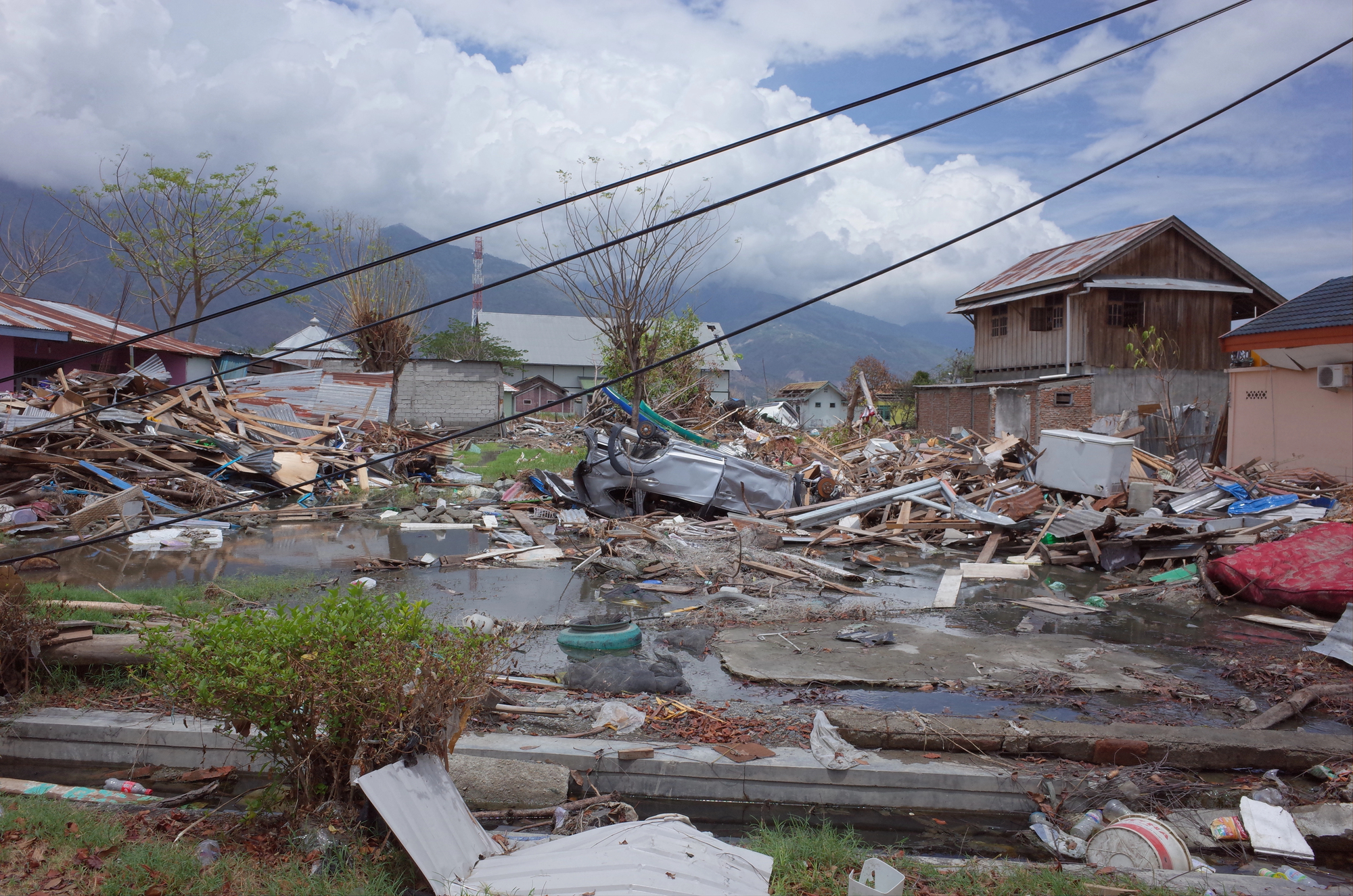
The massive 2004 undersea earthquake off Sumatra’s coast literally moved islands and shifted Earth’s axis. The quake permanently lifted Simeulue Island by 3 feet and caused other islands to sink several feet into the ocean.
The force of the 9.1 magnitude earthquake actually shortened Earth’s day by a few microseconds by changing the planet’s rotation. The seafloor displacement created massive tsunami waves that permanently eroded coastlines across multiple countries.
Like Go2Tutors’s content? Follow us on MSN.
Krakatoa Eruption
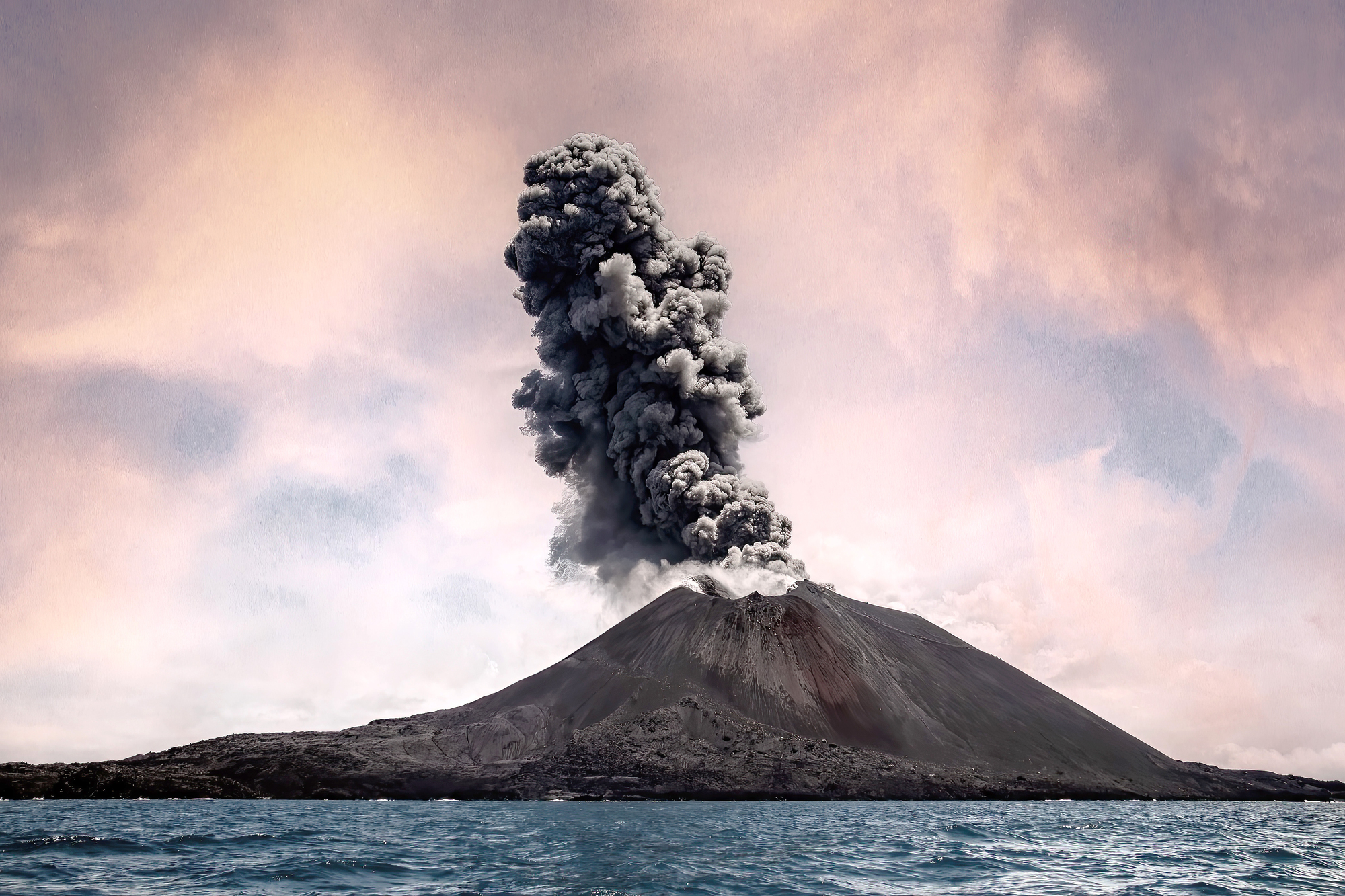
The 1883 explosion of Krakatoa in Indonesia remains one of the most powerful volcanic events in recorded history. The blast was so massive it destroyed two-thirds of the island, leaving a massive underwater caldera in its place.
The explosion ejected so much material into the atmosphere that it created vivid red sunsets worldwide for months afterward. The tsunami waves reached heights of 120 feet, permanently reshaping nearby coastlines and creating new islands from deposited material.
Yellow River Flood
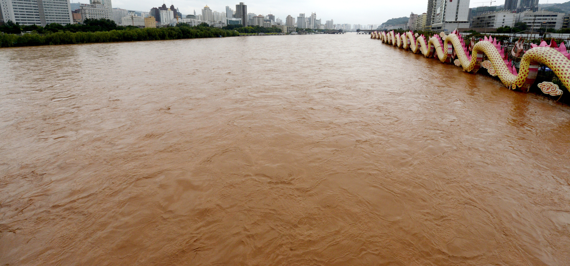
The catastrophic 1887 Yellow River flood in China permanently altered the river’s course and the surrounding landscape. The flood carved new channels through the countryside, completely rerouting one of Asia’s largest rivers.
Massive amounts of silt deposition created new landforms and permanently changed the region’s topology. The event transformed fertile farmland into sandy plains that remain altered to this day.
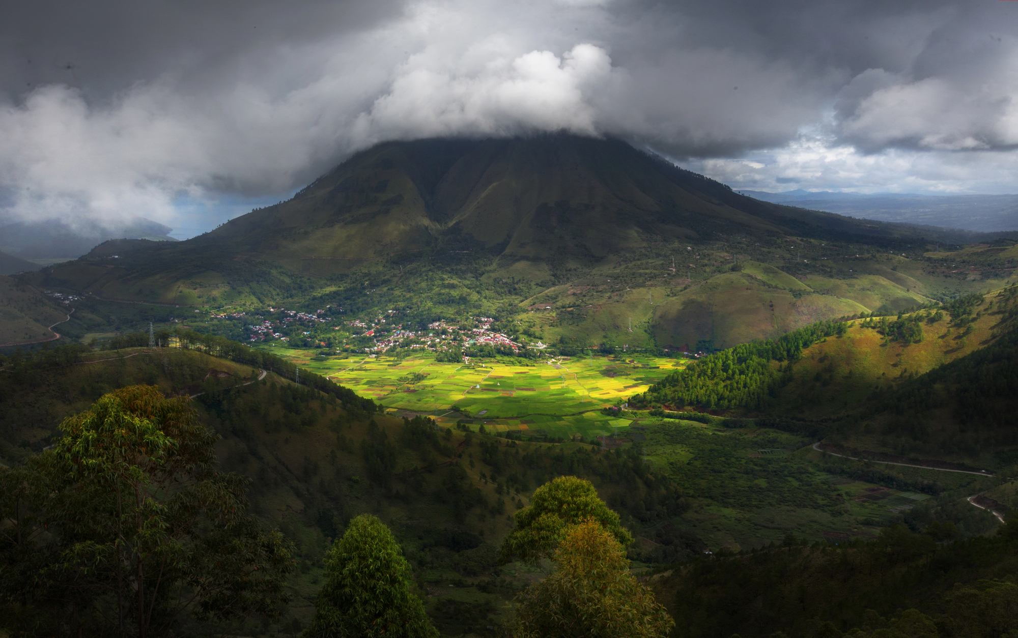
Great Rift Valley Formation
While not a single event but rather an ongoing process, the formation of Africa’s Great Rift Valley represents one of Earth’s most dramatic landscape alterations. The gradual splitting of the African continent has created a massive valley system stretching thousands of miles.
New lakes continue to form as the land subsides, while volcanic activity shapes the surrounding landscape. The rifting process has exposed unique geological formations and created distinct ecosystems.
Like Go2Tutors’s content? Follow us on MSN.
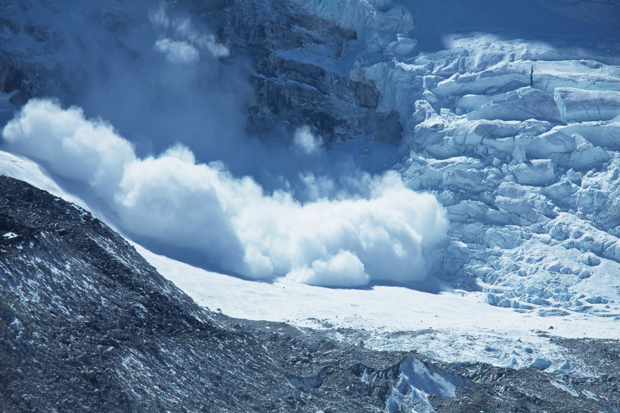
Lituya Bay Megatsunami
The 1958 Lituya Bay megatsunami in Alaska created the highest wave ever recorded, permanently scarring the surrounding landscape. The wave stripped vegetation and soil from the hillsides up to an elevation of 1,720 feet.
The event carved a new shoreline into the bay’s headlands that remains visible today. Massive amounts of displaced material created new underwater topography in the bay.
New Madrid Earthquakes
The 1811-1812 New Madrid earthquakes in the American Midwest literally made the Mississippi River run backward. The series of quakes created Reelfoot Lake in Tennessee by causing the ground to sink and fill with water.
New islands formed in the Mississippi River where the ground was thrust upward. The events permanently altered the course of several rivers and created numerous sand blows that are still visible in farmers’ fields today.
Toba Supervolcano Eruption
The ancient Toba supervolcano eruption in Indonesia, occurring roughly 74,000 years ago, created the largest volcanic lake in the world. The massive explosion left behind a caldera spanning 100 kilometers in length.
The eruption ejected enough material to form new geographic features across southeast Asia. Thick ash deposits permanently altered soil composition across much of South Asia.
Like Go2Tutors’s content? Follow us on MSN.
Huascaran Avalanche
The 1970 Huascaran avalanche in Peru dramatically reshaped the Cordillera Blanca mountain range. The massive landslide permanently altered the valley below, burying the town of Yungay under millions of tons of rock and ice.
The event created new geological formations that remain in place today. The avalanche permanently changed local drainage patterns and created several new lakes.
Tunguska Event

The 1908 Tunguska event in Siberia flattened 80 million trees across 830 square miles of forest. The mysterious explosion created a butterfly-shaped pattern of destruction that permanently altered the landscape.
The event left behind numerous small lakes created by the blast. The intense heat and pressure permanently changed local soil composition.
Santorini Eruption
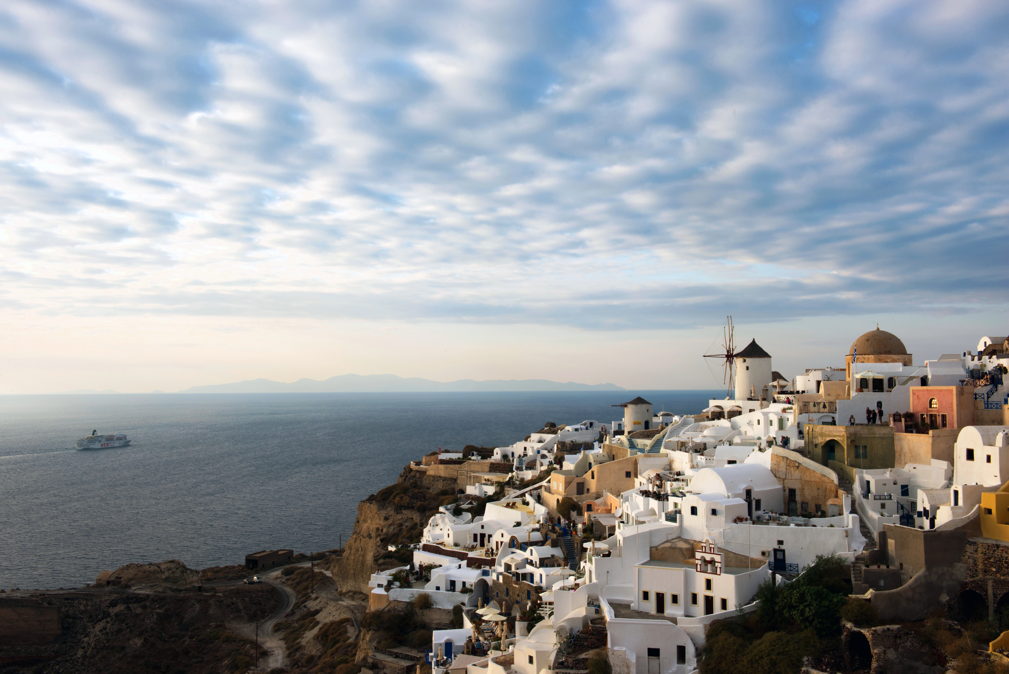
The ancient Minoan eruption of Santorini in Greece transformed a single island into the distinctive ring of islands we see today. The massive explosion created the current caldera, which filled with seawater to form one of the world’s largest volcanic lakes.
The eruption deposited enough material to change the seafloor topography of the entire region permanently. New islands formed from the volcanic deposits, creating the modern Santorini archipelago.
Like Go2Tutors’s content? Follow us on MSN.
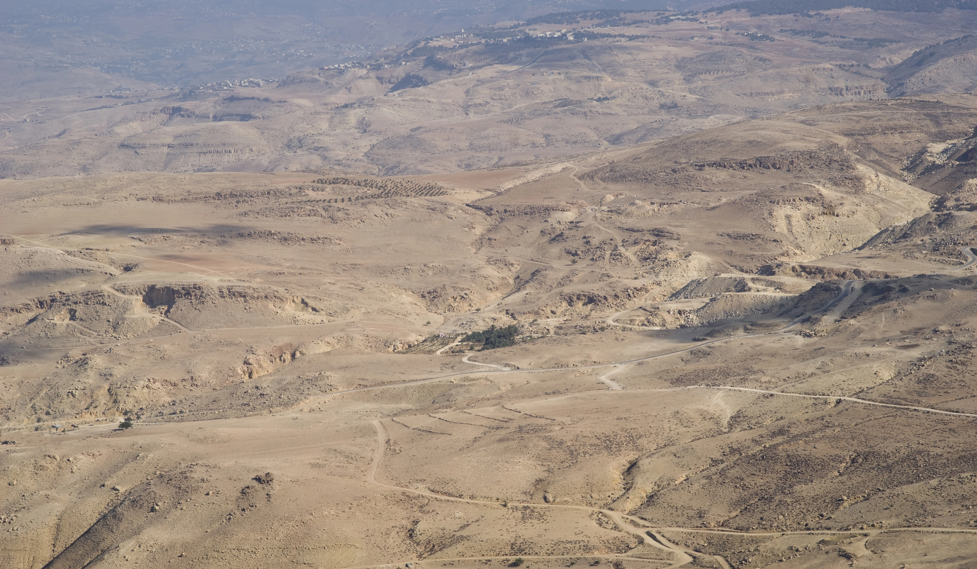
Sahara Formation
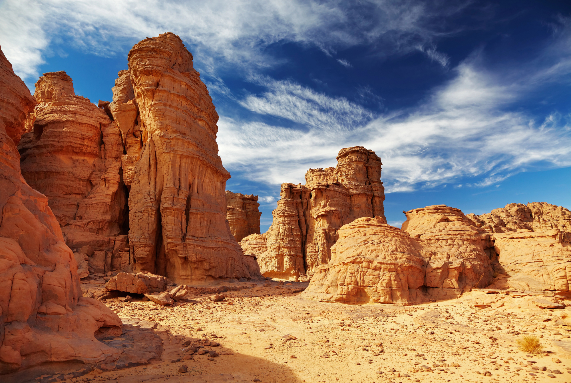
While technically a climate disaster rather than a sudden event, the desertification of the Sahara permanently transformed North Africa’s landscape. The process changed fertile savanna into the world’s largest hot desert over several thousand years.
The transformation created massive dune seas that continue to migrate and reshape themselves. New wind patterns emerged, creating distinctive geological features that remain in constant motion.
Sidoarjo Mud Flow
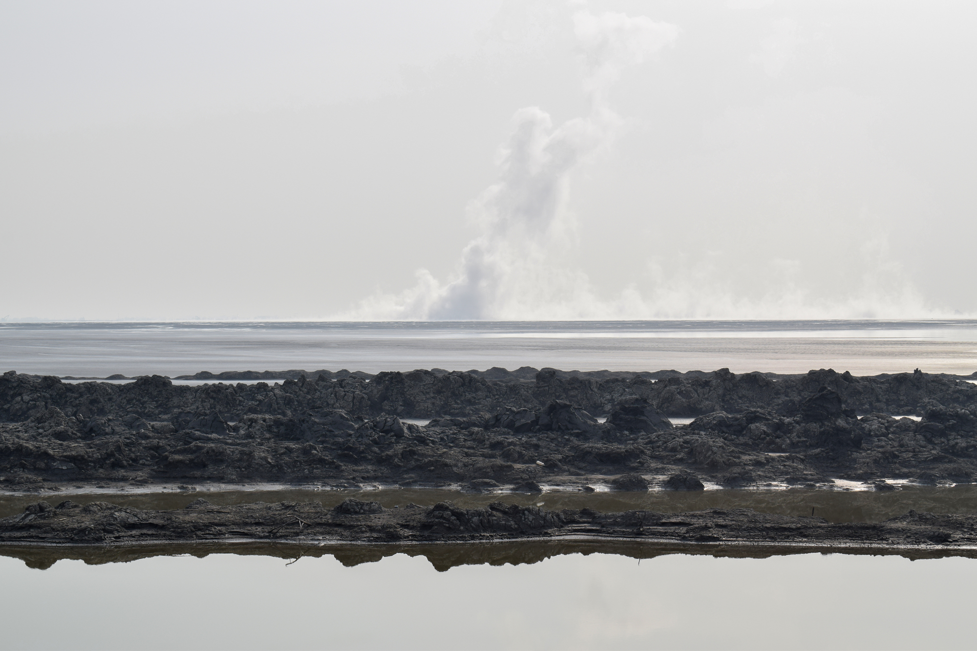
The 2006 Sidoarjo mud flow in Indonesia, though partially human-triggered, created a permanent new geological feature. The ongoing mud eruption has created a new lake that continues to grow, permanently submerging villages and infrastructure.
The disaster has permanently altered ground elevation across a large area, causing some regions to sink by several feet. New mud volcanoes have formed in the area, creating a unique geological landscape.
Lake Sarez Formation
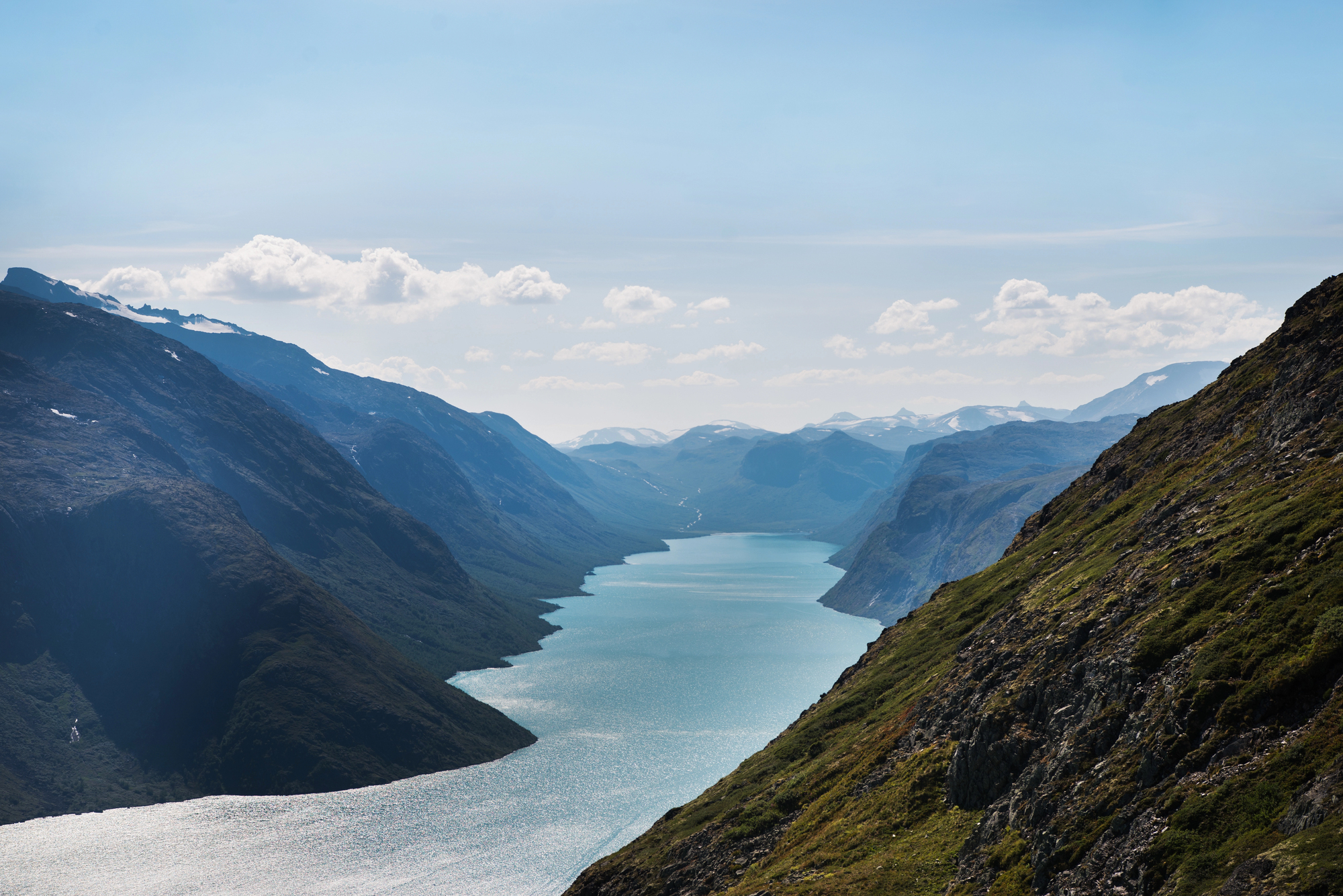
The 1911 earthquake that created Lake Sarez in Tajikistan forever changed the Pamir Mountains’ landscape. The quake triggered a massive landslide that created the world’s highest natural dam.
The resulting lake, over 60 kilometers long, permanently altered local weather patterns and ecosystems. The event created new microhabitats that support unique species assemblages.
Like Go2Tutors’s content? Follow us on MSN.
Iceland’s Laki Eruption
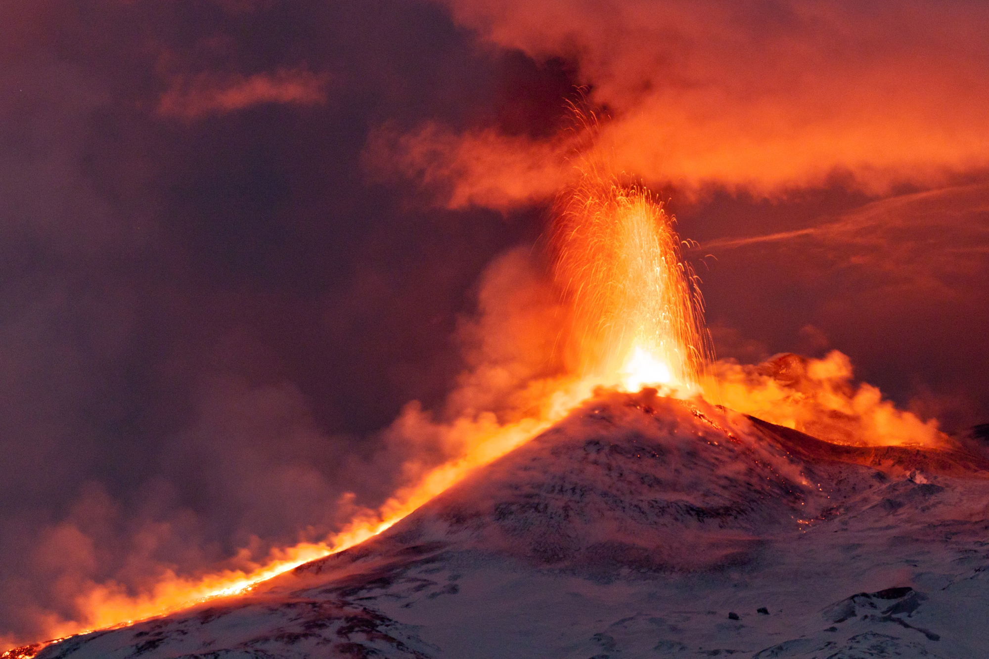
The 1783 Laki eruption in Iceland created a 27-kilometer-long fissure that permanently changed the island’s geography. The event created new lava fields that covered hundreds of square miles of the countryside.
The eruption formed new hills and valleys that remain prominent features of the landscape. Massive amounts of fluorine-laden ash permanently altered soil chemistry across much of Iceland.
Hebgen Lake Earthquake
The 1959 Hebgen Lake earthquake in Montana created a massive landslide that permanently changed the regional topology. The quake formed a new lake by damming the Madison River with millions of tons of rock.
The event created distinctive fault scarps that remain visible features of the landscape today. New thermal features emerged in nearby Yellowstone National Park following the earthquake.
Uttarakhand Floods
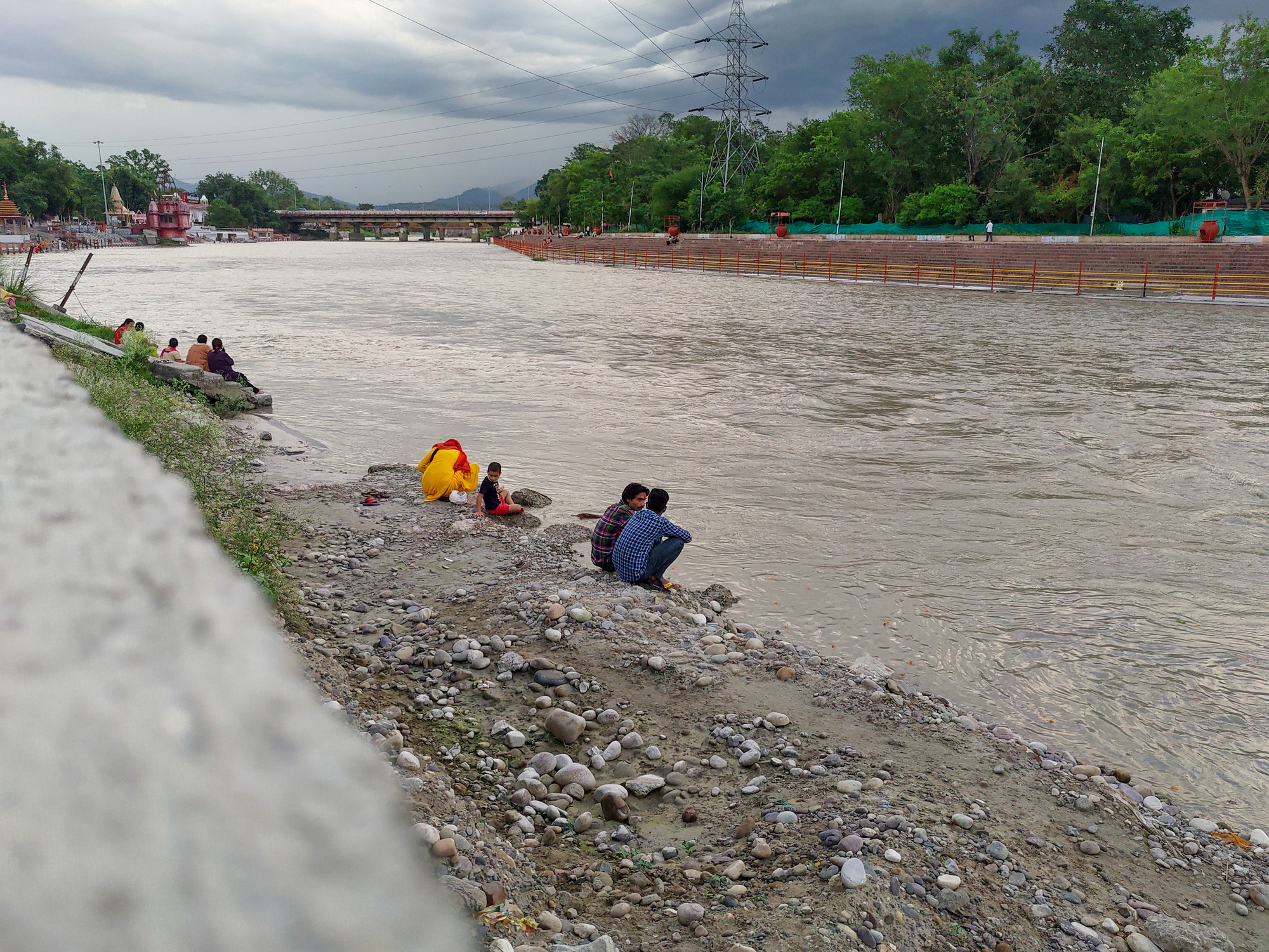
The 2013 Uttarakhand floods in India permanently reshaped numerous Himalayan valleys. The disaster created new lakes where landslides dammed rivers and streams.
Massive erosion permanently altered river courses throughout the region, creating new channels and waterfalls. The event exposed previously buried geological features that provide new insights into the region’s formation.
Like Go2Tutors’s content? Follow us on MSN.
Three Gorges Region

While the Three Gorges Dam is human-made, its filling created geological changes comparable to natural disasters. The reservoir’s weight has permanently altered regional seismic patterns and caused measurable changes in Earth’s rotation.
The massive lake has created new microclimates and weather patterns that continue to shape the landscape. Shoreline erosion has triggered numerous landslides that permanently altered local topology.
Chile Earthquake
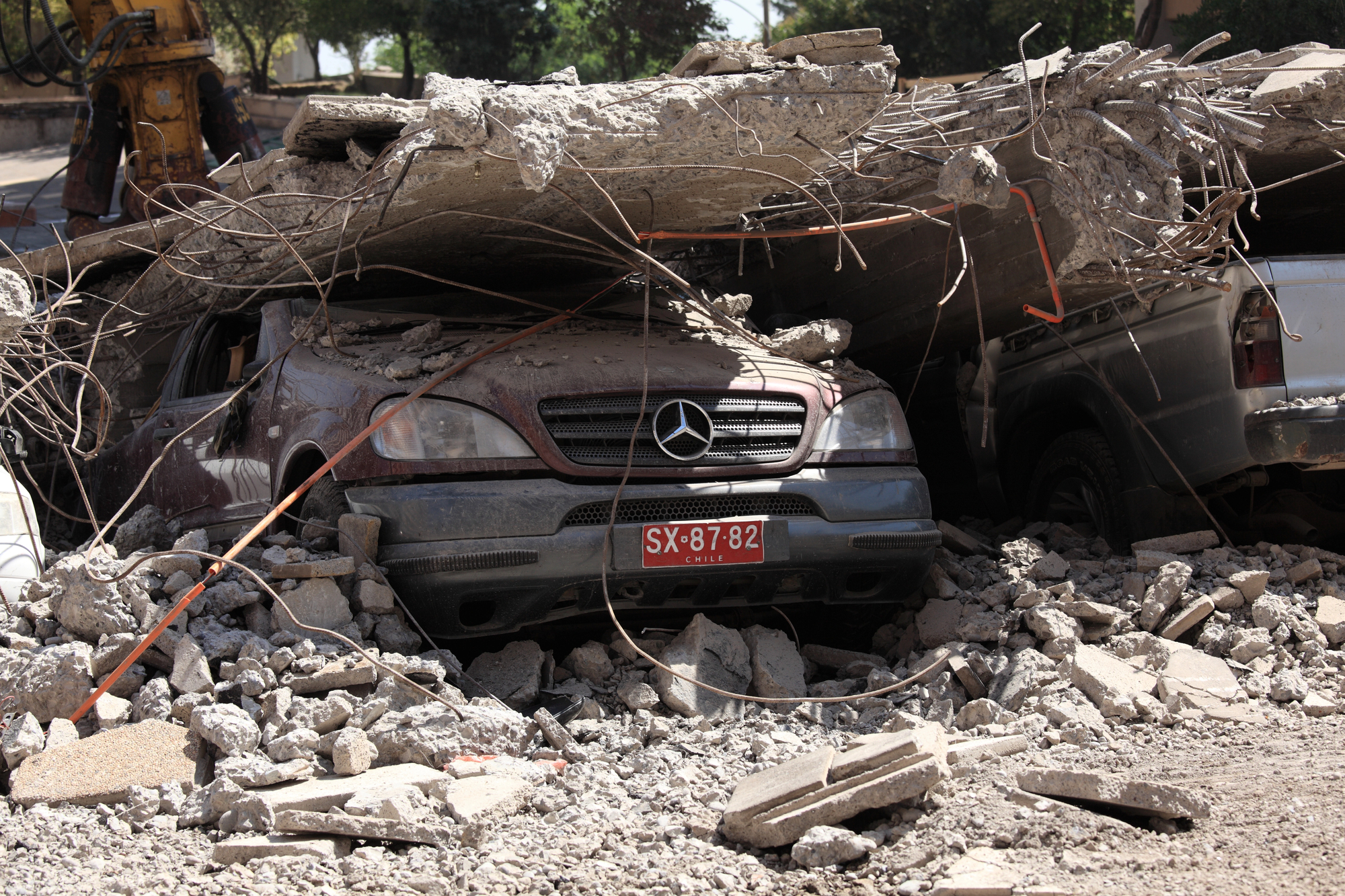
The massive 1960 Chile earthquake, the most powerful ever recorded, permanently altered South America’s coastline. The quake caused some areas to sink by up to 6 feet while others rose by similar amounts.
New lakes formed where the ground subsided, creating permanent changes to local hydrology. The event triggered numerous landslides that permanently altered the Andes Mountains’ topology.
Nature’s Permanent Signatures
These catastrophic events demonstrate how single moments can leave lasting impressions on our planet’s surface. While the immediate destruction often fades, the geological and geographical changes they create continue to influence Earth’s systems today.
More from Go2Tutors!

- 20 Historical Artifacts That Scientists Can’t Explain
- 15 Unforgettable Candy Bars From The 60s and 70’s That Disappeared Too Soon
- 20 Countries That No Longer Exist and What Happened to Them
- 20 Forgotten Fast Food Items From the 80’s That Need to Come Back
- Famous Battles: How Much Do You Really Know About U.S. History?
Like Go2Tutors’s content? Follow us on MSN.