20 Places on Earth That Are Bigger Than Entire Countries
Our planet features an incredible diversity of landscapes and geographical features. While we typically think of countries as the largest defined territories on Earth, some natural formations, parks, and regions actually exceed the size of many independent nations. These massive areas demonstrate just how vast and varied our world truly is.
Let’s explore 20 places on Earth that are surprisingly larger than entire countries, offering a fresh perspective on the true scale of our planet’s most impressive features.
Sahara Desert
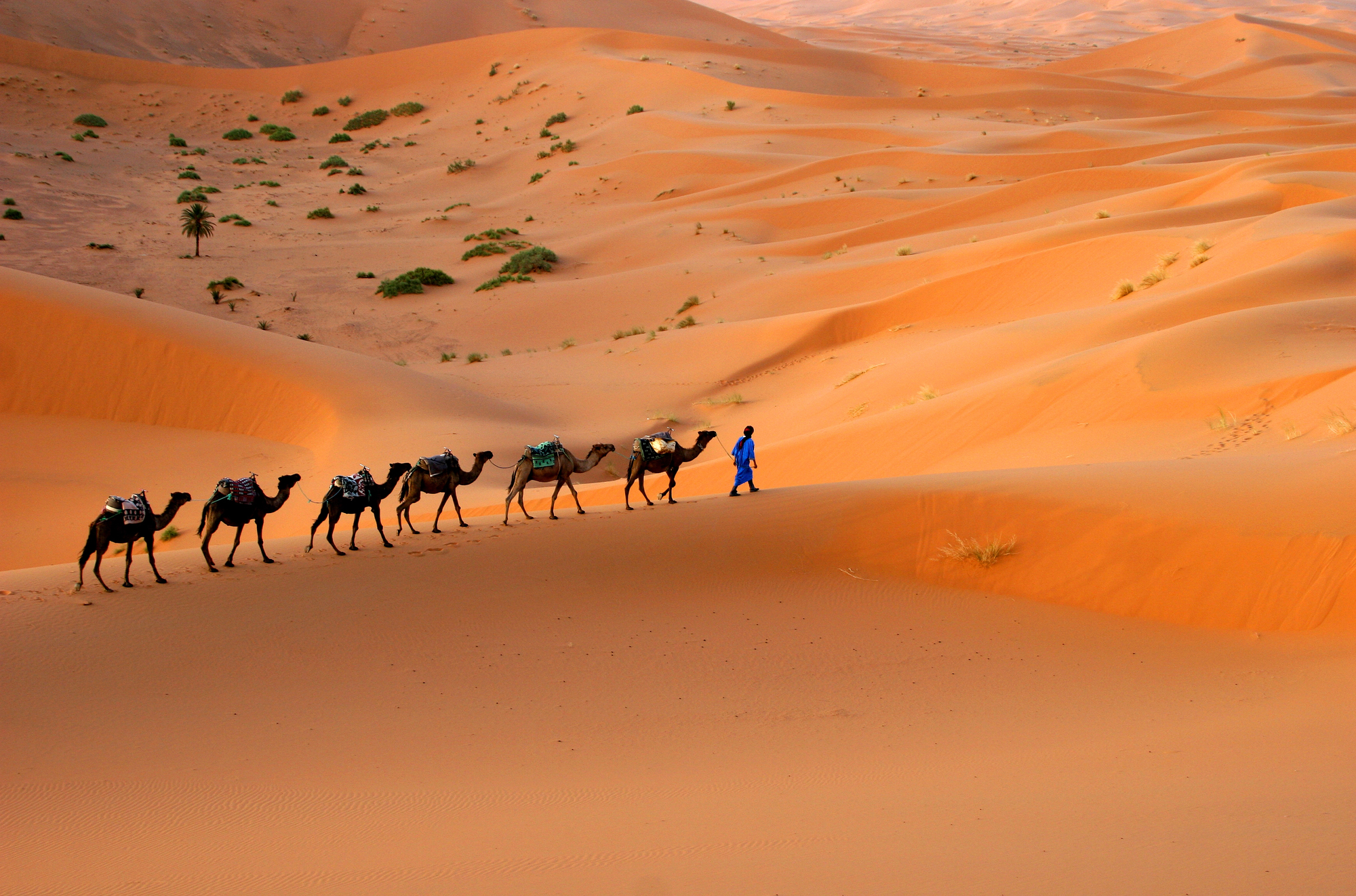
The Sahara Desert spans over 3.6 million square miles across North Africa, making it larger than the entire European Union. This massive expanse of sand and rock dwarfs countries like India and Argentina with room to spare.
The Sahara continues to grow annually, expanding southward at a rate that threatens surrounding communities and ecosystems.
Amazon Rainforest
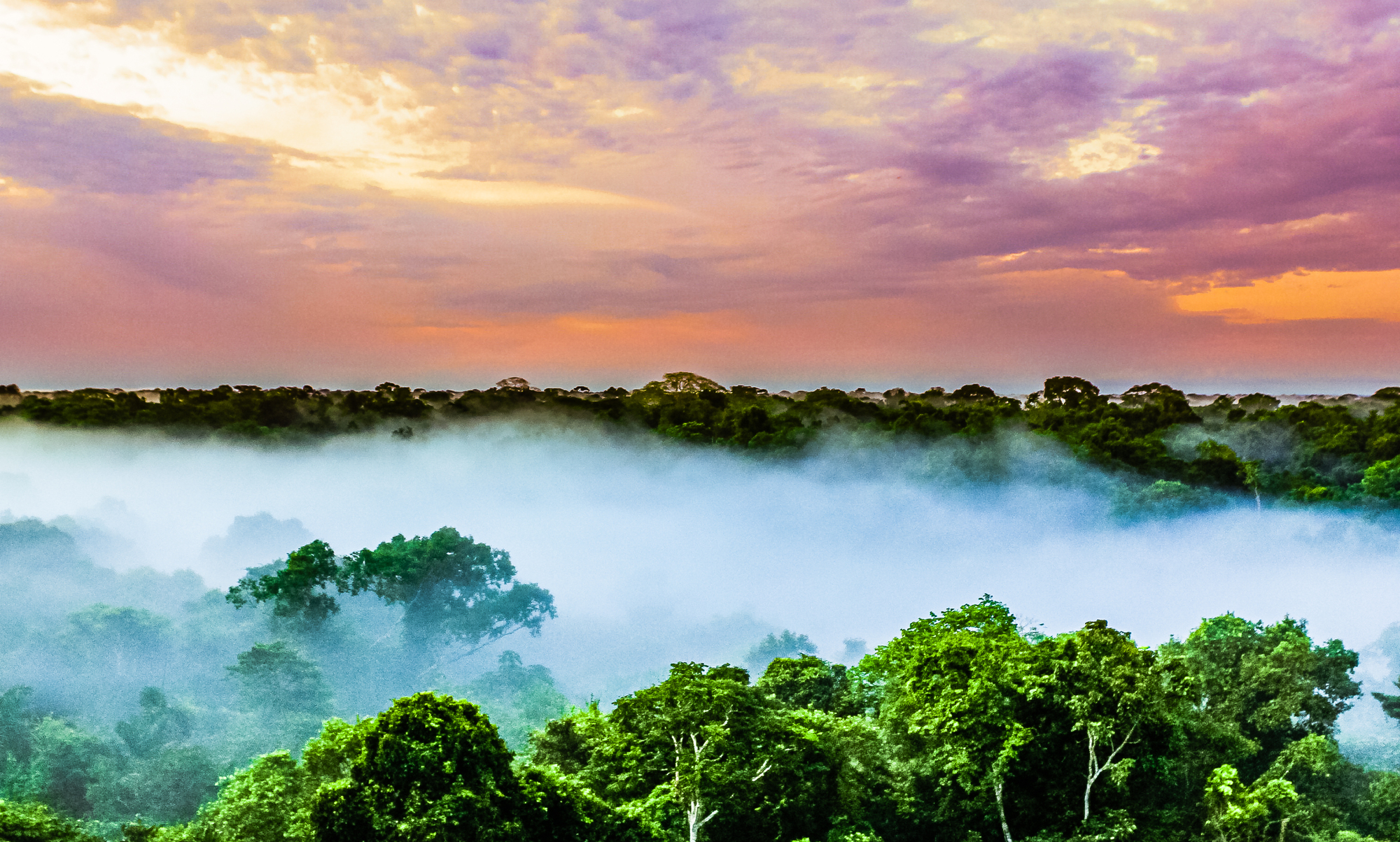
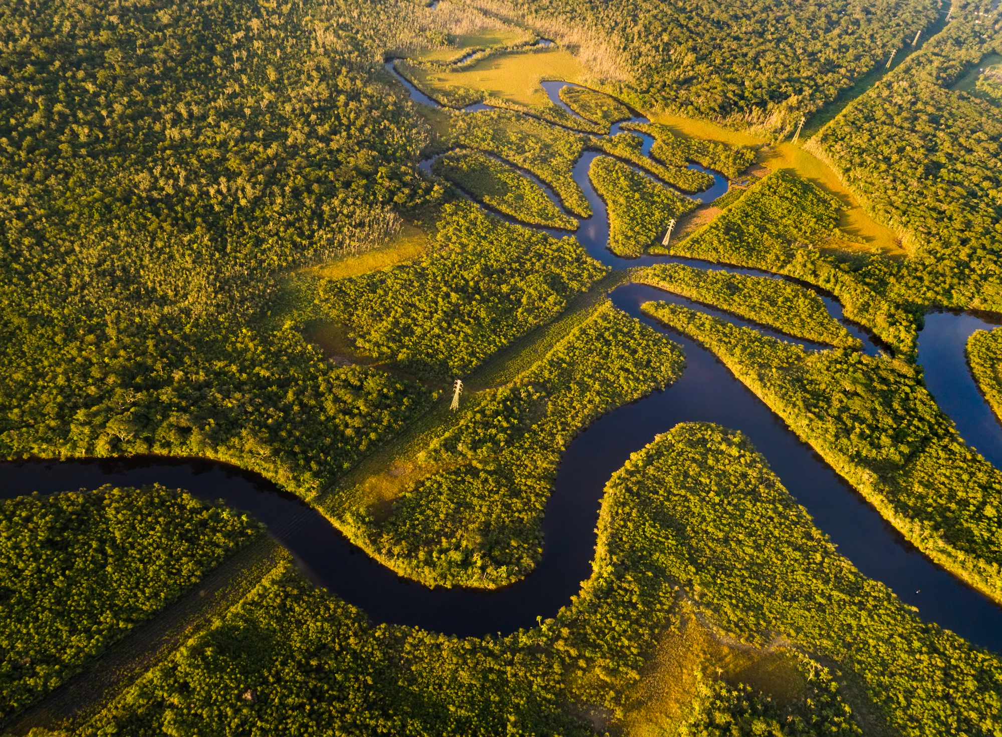
The Amazon Rainforest covers approximately 2.1 million square miles, an area larger than India and nearly the size of Australia. This vast tropical forest spans nine countries but is primarily located in Brazil, where it faces ongoing threats from deforestation.
The Amazon produces roughly 20% of the world’s oxygen and houses more species than any other terrestrial ecosystem on the planet.
Like Go2Tutors’s content? Follow us on MSN
Siberian Taiga
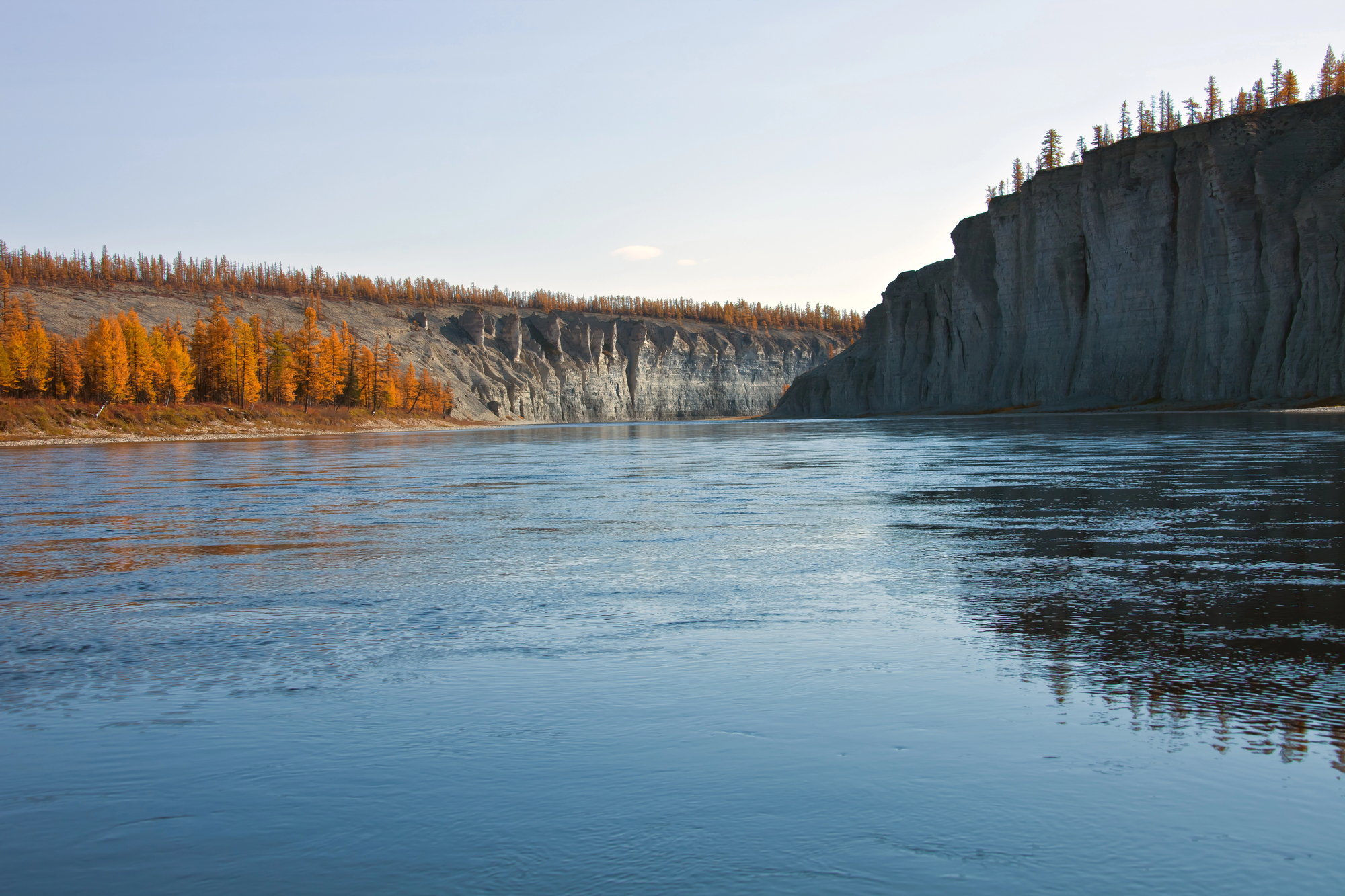
The Siberian Taiga stretches across 5.1 million square miles of Russia, making it larger than the entire United States, including Alaska. This enormous boreal forest represents about 25% of the world’s forest cover and serves as a massive carbon sink.
Winter temperatures in this vast wilderness regularly plunge below -50°F, creating one of the most challenging environments for human habitation on Earth.
Antarctic Ice Sheet
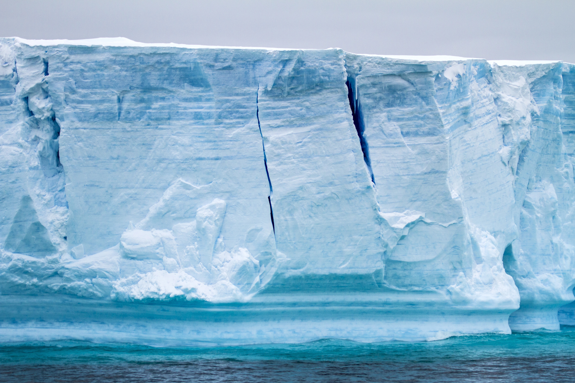
The Antarctic Ice Sheet covers about 5.4 million square miles, making it larger than the United States and Mexico combined. This massive ice formation contains approximately 70% of Earth’s fresh water and reaches depths of nearly 3 miles in some locations.
If completely melted, the Antarctic Ice Sheet would raise global sea levels by about 200 feet, dramatically altering coastlines worldwide.
Great Barrier Reef
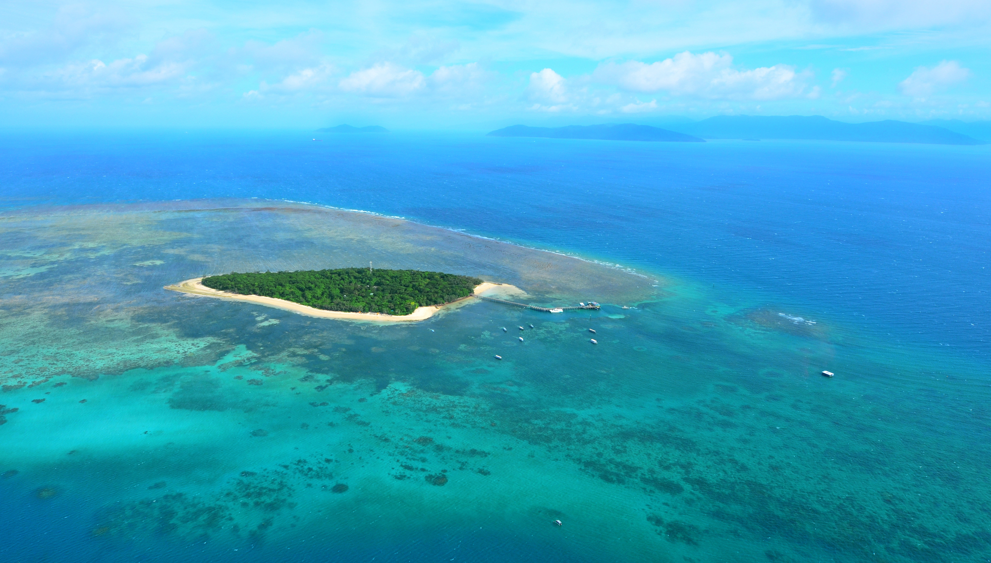
The Great Barrier Reef extends over 133,000 square miles off Australia’s coast, exceeding the size of Italy. This living structure is visible from space and comprises over 2,900 individual reefs and 900 islands stretching for 1,400 miles.
The reef houses more than 1,500 fish species and 4,000 mollusk species, creating the most diverse marine ecosystem on the planet.
Like Go2Tutors’s content? Follow us on MSN
Greenland Ice Sheet
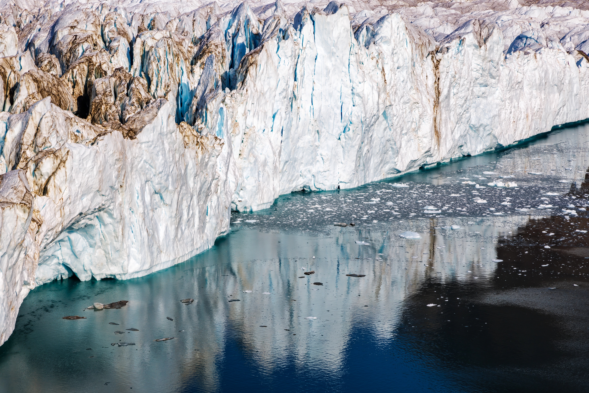
The Greenland Ice Sheet covers 660,000 square miles, making it larger than countries like France, Spain, and Germany. This massive ice formation holds enough water to raise global sea levels by 23 feet if completely melted.
Recent studies indicate the sheet is losing approximately 286 billion tons of ice annually, a rate that has quadrupled since the 1990s.
Gobi Desert
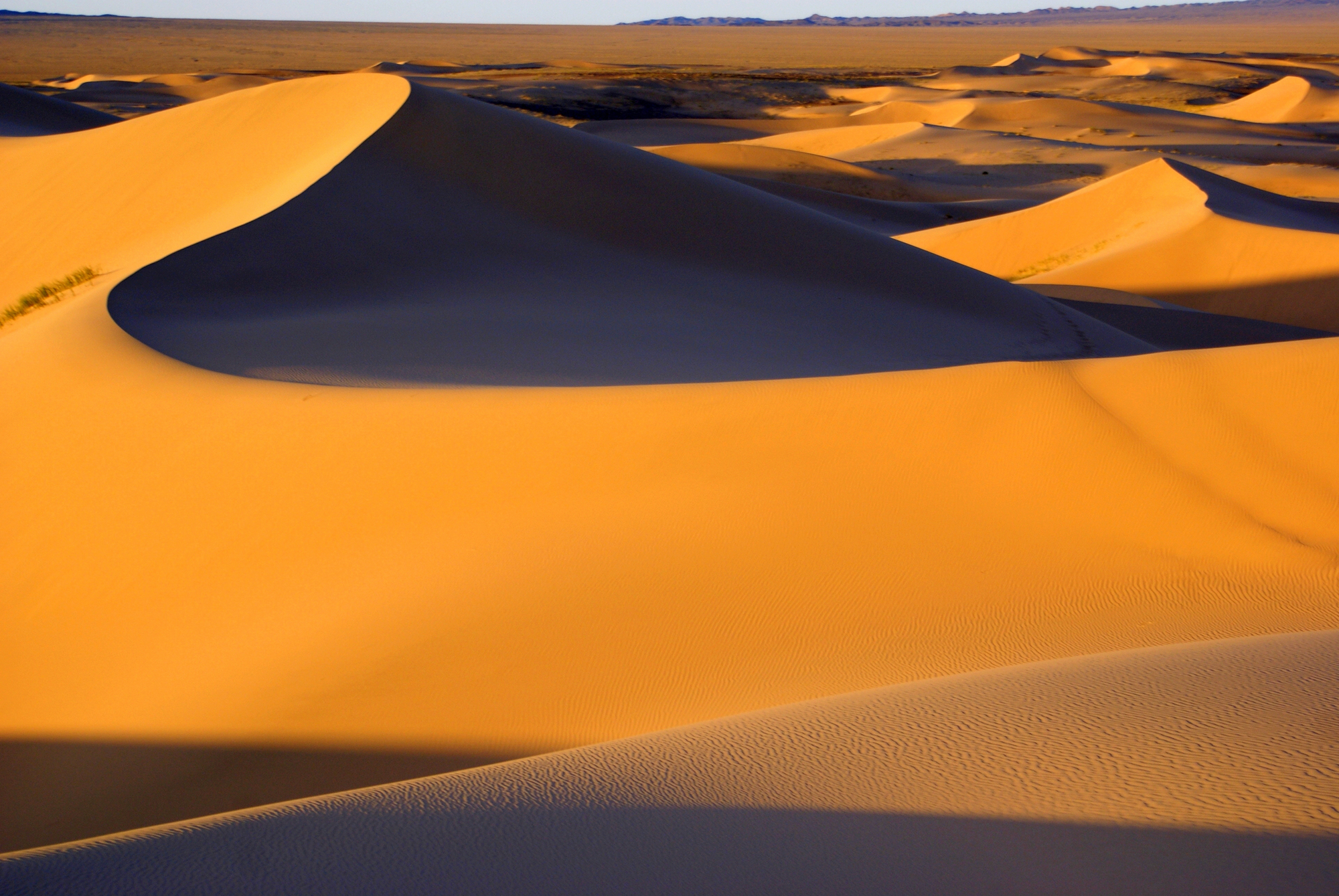
The Gobi Desert spans 500,000 square miles across China and Mongolia, exceeding the size of most European countries. This vast desert is known for its extreme temperature variations, which can range from -40°F in winter to 113°F in summer.
The Gobi continues to expand at an alarming rate of about 1,390 square miles per year due to desertification and climate change.
Arabian Desert
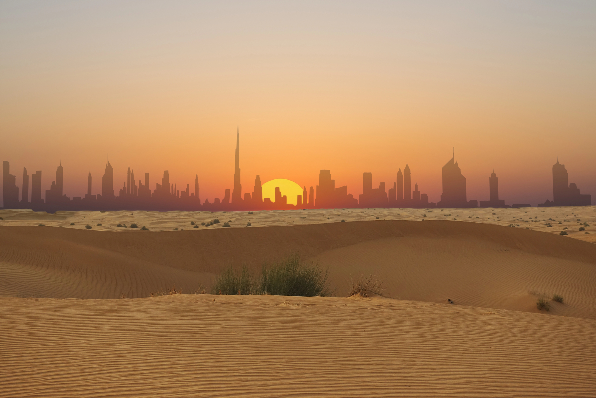
The Arabian Desert covers approximately 900,000 square miles across several Middle Eastern countries, making it larger than Turkey and Germany combined. This massive arid region contains some of the largest continuous sand areas on Earth, including the infamous Empty Quarter.
Despite its harsh conditions, the desert sits atop some of the world’s largest oil reserves, driving the region’s economic importance.
Like Go2Tutors’s content? Follow us on MSN
Wrangell-St. Elias National Park
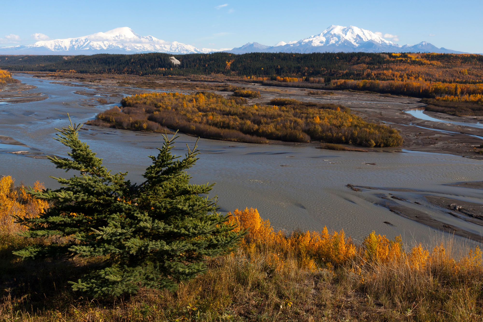
Wrangell-St. Elias National Park in Alaska spans 13.2 million acres, making it larger than Switzerland. This immense wilderness area contains multiple mountain ranges and the largest concentration of glaciers in North America.
The park’s remote location and challenging terrain mean that most of its vast expanse remains unexplored by humans, preserving its pristine natural state.
Congo Rainforest
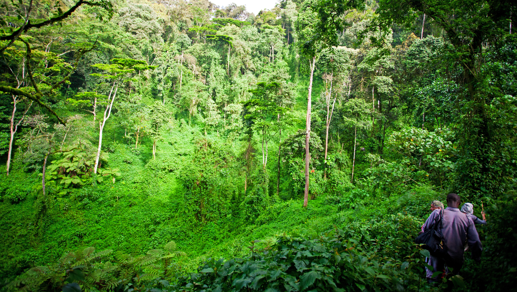
The Congo Rainforest covers about 781,000 square miles in central Africa, exceeding the size of Alaska and nearly matching Mexico. This ancient forest has existed for approximately 50 million years and houses some of Earth’s most diverse ecosystems.
The Congo Basin stores an estimated 30 billion tons of carbon, playing a crucial role in regulating global climate patterns.
Tibet Plateau
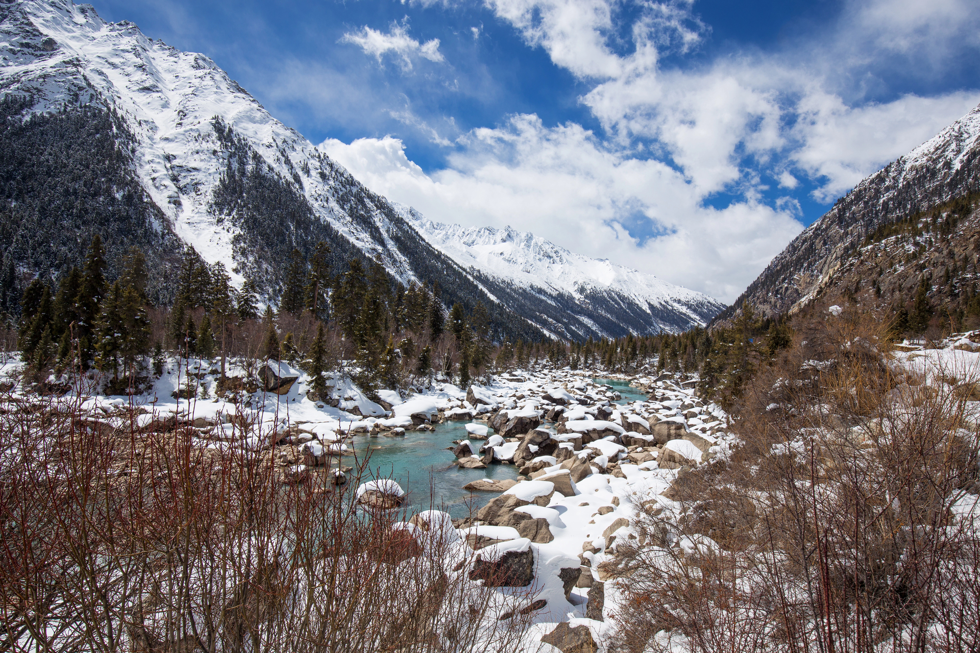
The Tibet Plateau spans over 970,000 square miles at an average elevation of 14,800 feet, making it larger than countries like South Africa and Colombia. Often called the “Roof of the World,” this massive highland contains the largest concentration of frozen freshwater outside the polar regions.
The plateau influences weather patterns across Asia and serves as the source for most of the continent’s major river systems.
Like Go2Tutors’s content? Follow us on MSN
Great Australian Bight
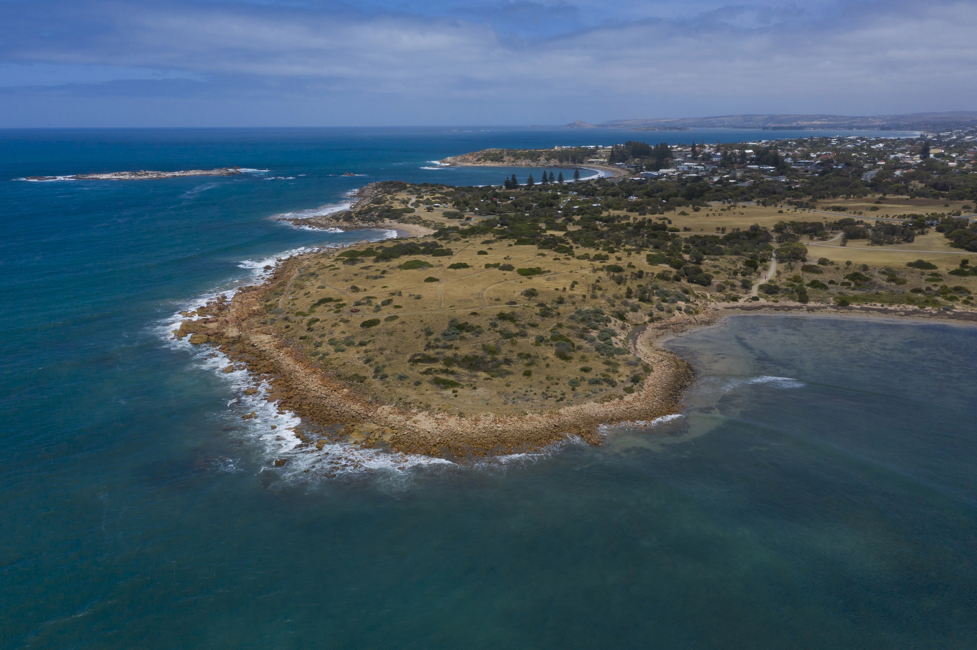
The Great Australian Bight stretches across 720,000 square miles of southern Australian coastline, exceeding the size of France and the United Kingdom combined. This vast marine ecosystem features the longest line of sea cliffs in the world, extending for over 600 miles along the southern edge of the continent.
The waters of the Bight serve as crucial migratory paths for southern right whales and house unique deep-sea communities.
Great Plains

The Great Plains cover approximately 500,000 square miles across ten U.S. states and three Canadian provinces, making this region larger than Peru. This vast grassland once supported massive herds of bison and remains one of the world’s most important agricultural areas.
The Plains account for roughly 25% of American crop production despite increasingly unpredictable weather patterns affecting the region.
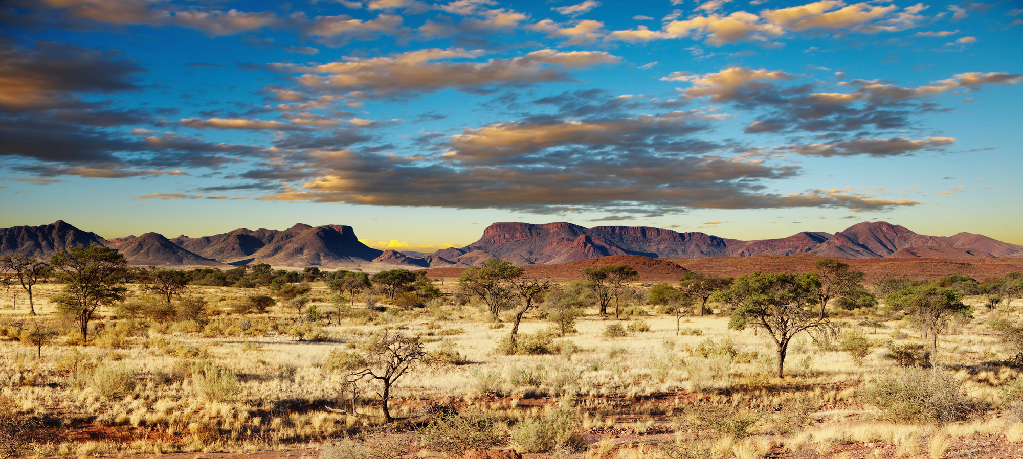
Patagonia
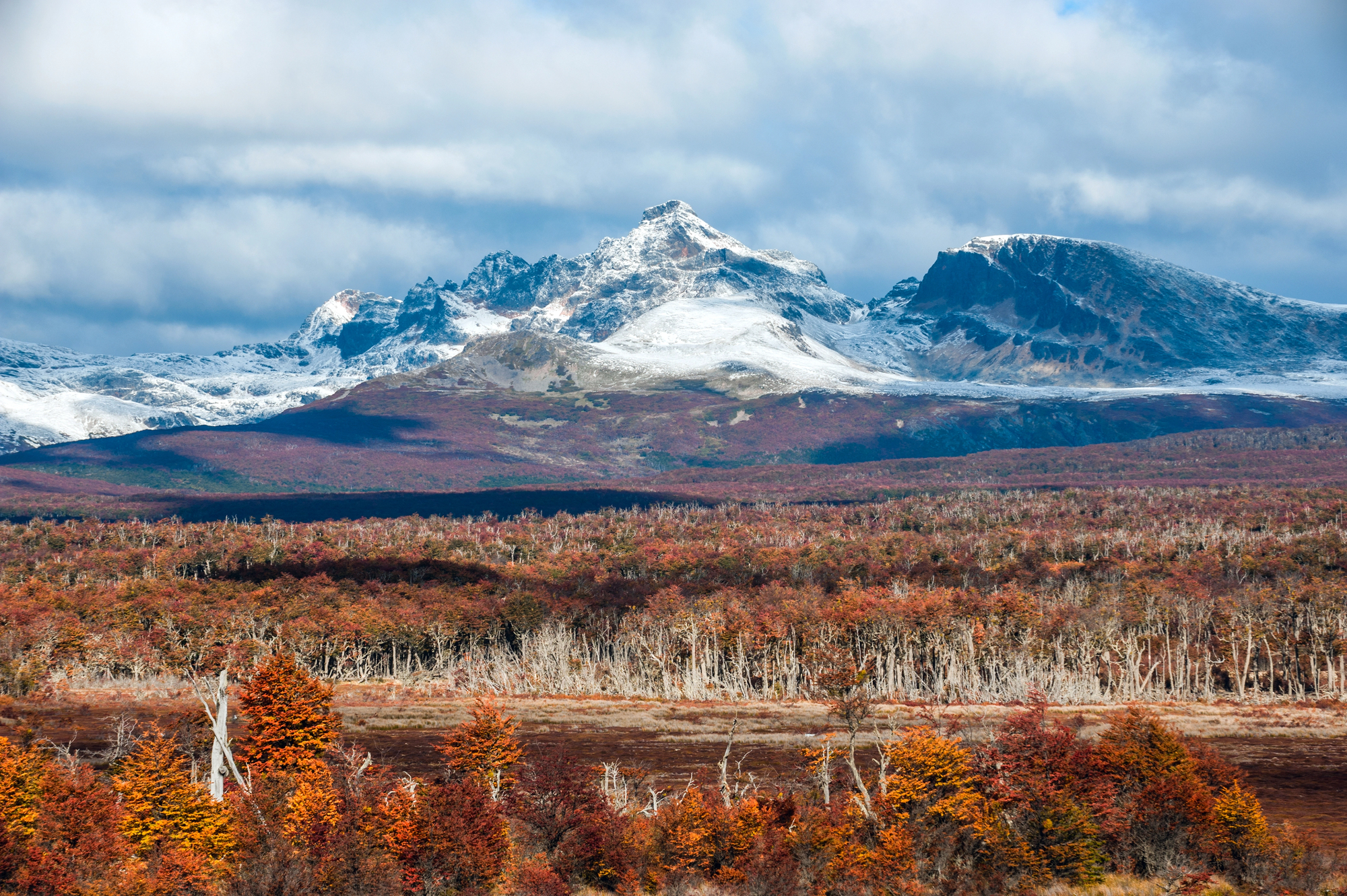
Patagonia spans about 402,000 square miles across Argentina and Chile, exceeding the size of countries like Paraguay and Sweden. This sparsely populated region features some of the most dramatic landscapes on Earth, from towering mountain peaks to massive ice fields.
Fewer than two million people inhabit this vast wilderness, resulting in a population density lower than most desert regions.
Like Go2Tutors’s content? Follow us on MSN
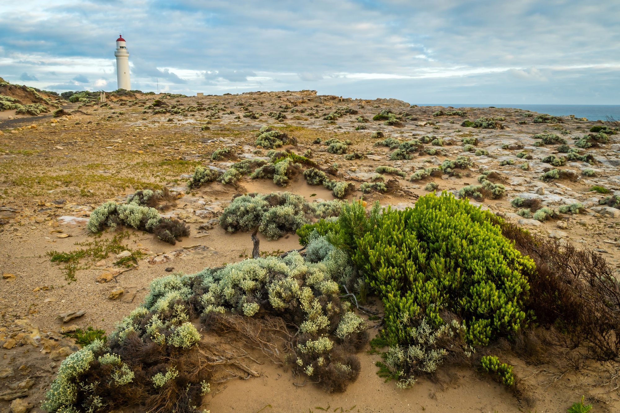
Western Australia
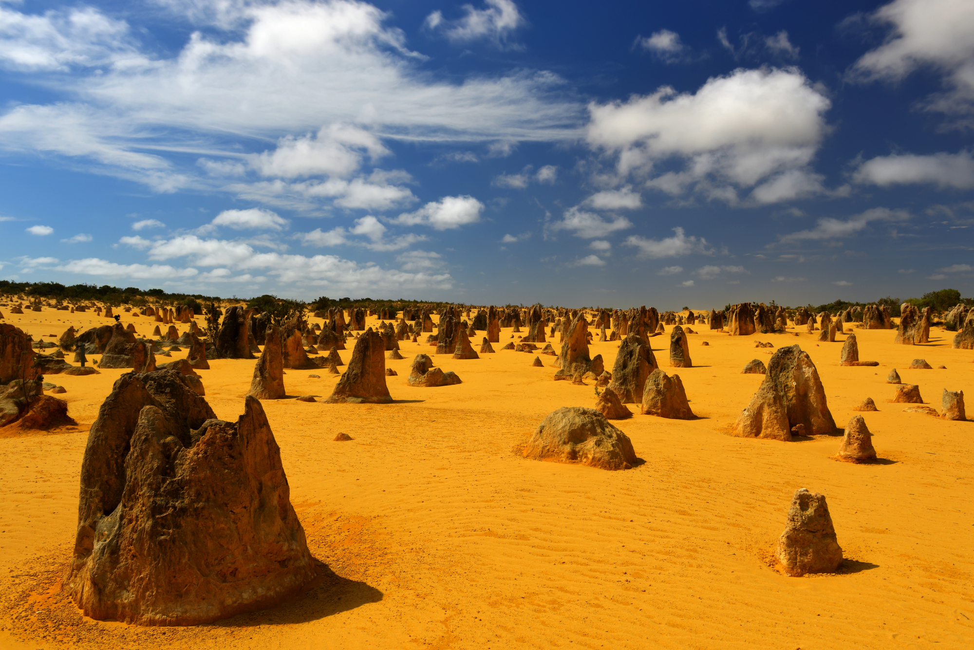
Western Australia covers 1 million square miles, making this single Australian state larger than countries like Mexico, Indonesia, and Saudi Arabia. Despite its massive size, the state houses fewer than 3 million people, with most residing in the capital city of Perth.
The state’s vast mineral deposits make it an economic powerhouse, accounting for nearly half of Australia’s exports.
Canadian Shield
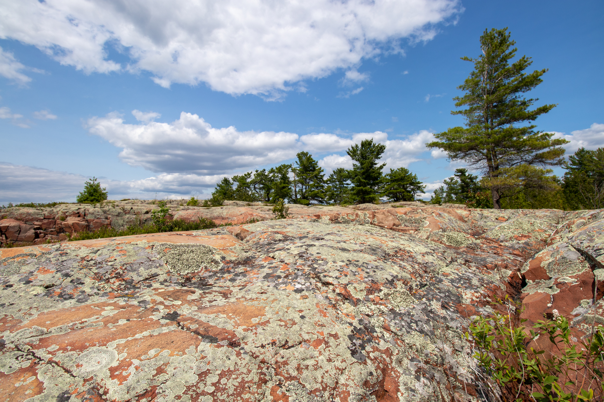
The Canadian Shield spans approximately 3 million square miles across eastern Canada, making it larger than India. This ancient geological formation contains some of the oldest rocks on Earth, dating back 2.5 to 4 billion years.
The region features over 2 million lakes and countless rivers, holding roughly 20% of the world’s fresh water within its rocky landscape.
Hudson Bay
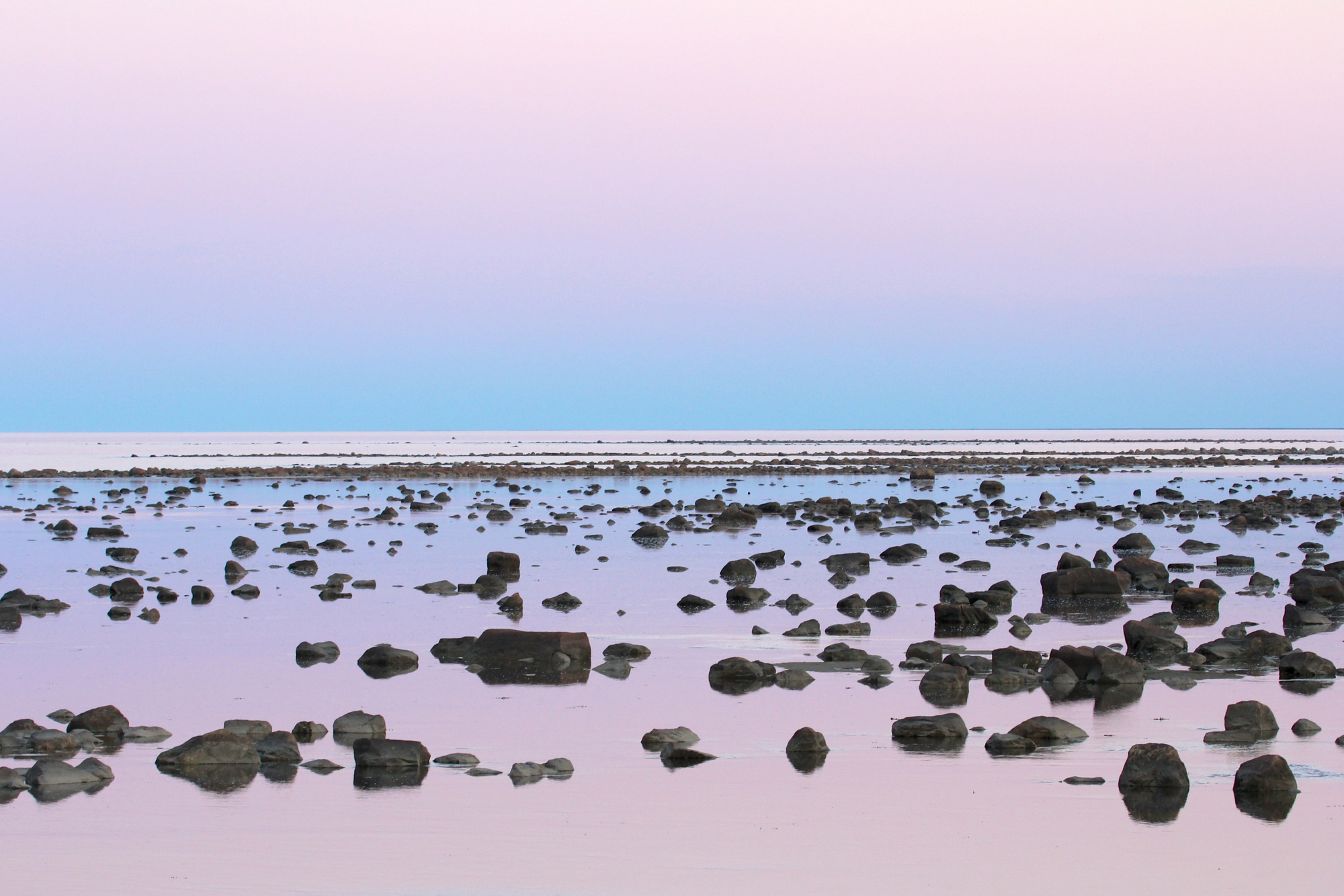
Hudson Bay covers about 470,000 square miles in northern Canada, making it larger than countries like Thailand and Spain. This massive inland sea freezes completely during winter months, creating a crucial hunting platform for polar bears.
The bay’s shoreline retreats by about one inch annually due to post-glacial rebound, gradually shrinking this massive water body over time.
Like Go2Tutors’s content? Follow us on MSN
Kalahari Desert
The Kalahari Desert extends across 360,000 square miles of southern Africa, exceeding the size of countries like Japan and Germany. Unlike many deserts, the Kalahari receives between 5-10 inches of rainfall annually, supporting a surprising diversity of plant and animal life.
The desert houses the world’s largest continuous area of sand, covering much of Botswana and parts of Namibia and South Africa.
Great Victoria Desert
The Great Victoria Desert spans 250,000 square miles across Western and South Australia, making it larger than the United Kingdom. This arid region receives fewer than 10 inches of rainfall annually yet houses surprisingly diverse plant communities adapted to extreme conditions.
The desert remains largely uninhabited except for small Indigenous communities who have thrived in this harsh landscape for thousands of years.
Amazonian Rainforest Basin
The Amazonian Basin encompasses approximately 2.7 million square miles, making it larger than India and Pakistan combined. This massive watershed collects water from thousands of tributaries across nine countries to form the world’s largest river by volume.
The basin houses over 40,000 plant species, 2.5 million insect species, and approximately 400 mammal species, making it Earth’s greatest biodiversity hotspot.
Like Go2Tutors’s content? Follow us on MSN
Earth’s Magnificent Giants
These enormous geographical features remind us that our planet operates on scales far beyond human-drawn boundaries. From the vast Sahara to the sprawling Amazon, Earth’s largest natural areas transcend political divisions while shaping global climate patterns and ecosystems.
Their immense sizes help put our world in perspective, demonstrating that even entire nations can be dwarfed by nature’s grandest creations. These colossal regions deserve our protection and appreciation as irreplaceable components of our shared planetary home.
More from Go2Tutors!

- 20 Historical Artifacts That Scientists Can’t Explain
- 15 Unforgettable Candy Bars From The 60s and 70’s That Disappeared Too Soon
- 20 Countries That No Longer Exist and What Happened to Them
- 20 Forgotten Fast Food Items From the 80’s That Need to Come Back
- Famous Battles: How Much Do You Really Know About U.S. History?
Like Go2Tutors’s content? Follow us on MSN