14 Scenic Routes That Were Originally Escape Paths
Today’s most breathtaking drives often started as something much more desperate than weekend road trips. These winding mountain passes, coastal highways, and forest trails were carved by people running from danger or just trying to stay alive.
Escape routes have become leisure drives, though the stories of survival still echo along every mile. Here’s a list of 14 scenic routes that began as escape paths, each one carrying tales of courage and determination beneath the modern-day beauty.
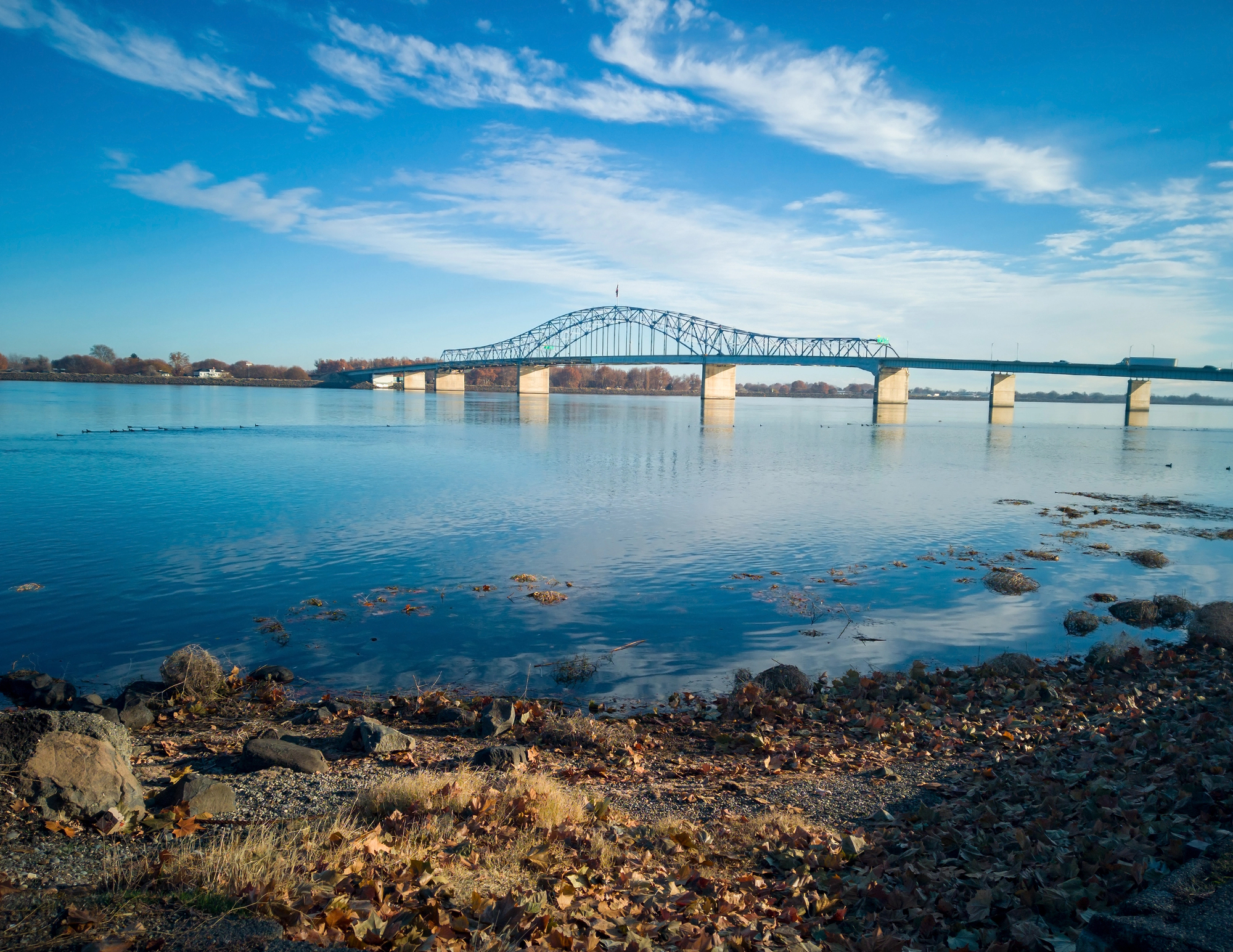
Natchez Trace Parkway
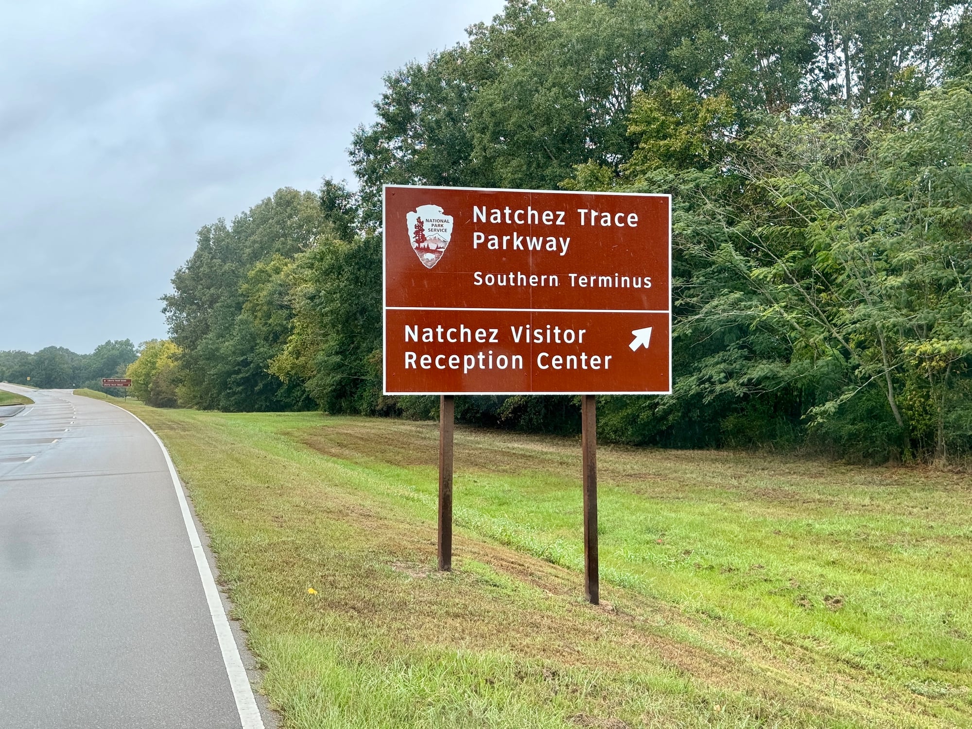
Native Americans first used this path, though settlers later relied on it when returning north after floating goods down the Mississippi River. The 444-mile route became their lifeline for escaping river pirates and hostile territories.
Winding through Mississippi, Alabama, and Tennessee, the parkway now showcases rolling hills and ancient forests where desperate travelers once sought inland safety rather than face the dangerous upstream journey.
Blue Ridge Parkway
During the Civil War, both Confederate soldiers and Union sympathizers used these mountain ridges as escape routes — taking advantage of remote terrain and loyal mountain communities. The 469-mile scenic drive connects Shenandoah and Great Smoky Mountains National Parks with spectacular vistas.
These high-altitude paths created natural fortresses where small groups could evade larger military forces and find shelter among sympathetic locals.
Like Go2Tutors’s content? Follow us on MSN.
Going-to-the-Sun Road
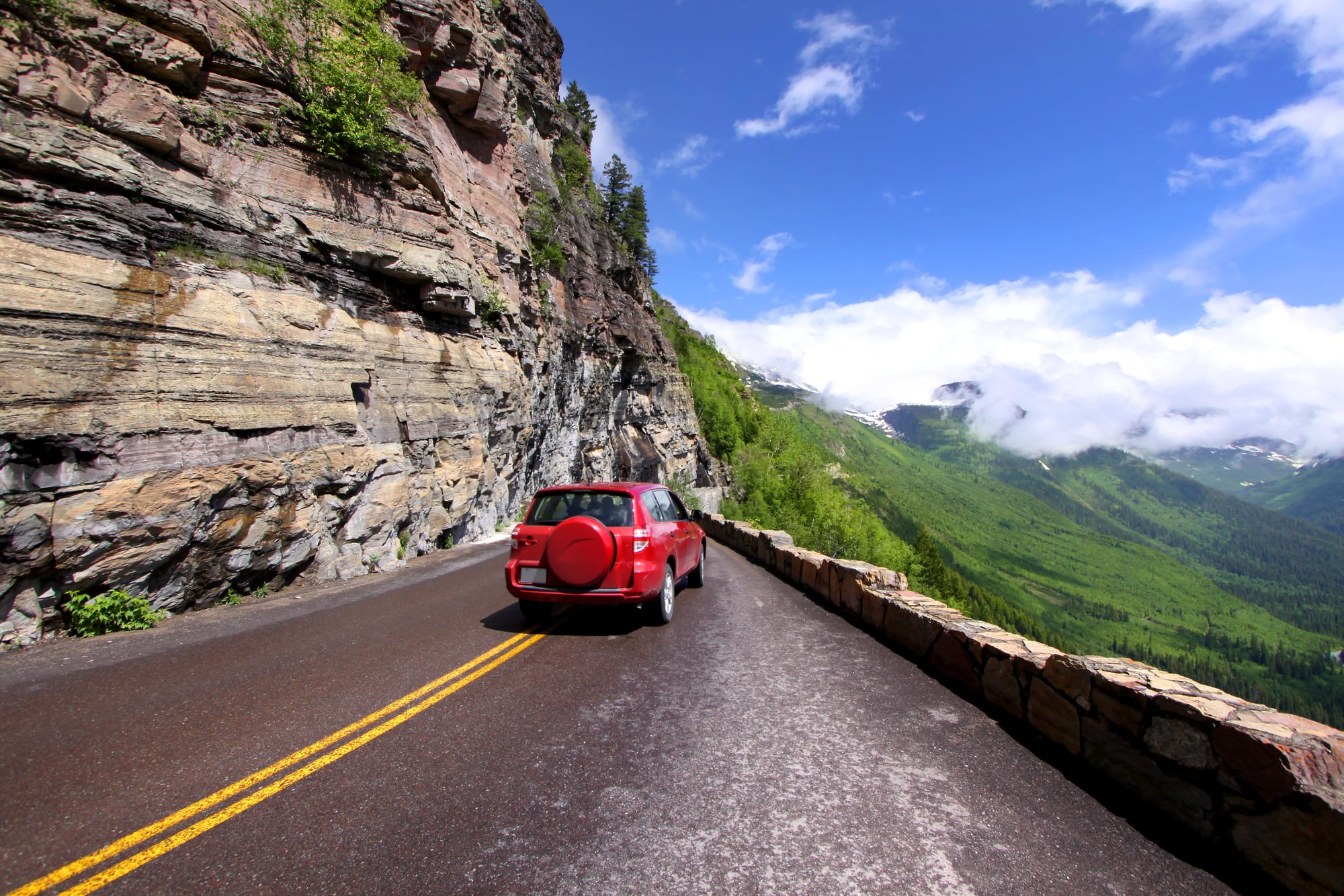
Blackfoot and Flathead tribes used early versions of this route through Glacier National Park to escape brutal winter conditions and reach seasonal hunting grounds. The 50-mile mountain road crosses the Continental Divide at Logan Pass, displaying some of North America’s most dramatic alpine scenery.
These passes allowed tribes to follow game migrations while avoiding territorial conflicts in the valleys below.
Trail of Tears Route
Though tragically forced rather than chosen, this route became an escape path for Cherokee families trying to preserve their lives during the 1830s removal. Several scenic highways now follow portions of this historic trail — including parts of Interstate 40 through Arkansas and Tennessee.
Many families broke away from the forced march to find refuge in remote mountain communities, creating hidden settlements that survived for generations.
Mohawk Trail
This ancient Native American path through Massachusetts became crucial during King Philip’s War and later conflicts between colonial settlers and indigenous peoples. The modern scenic route follows the Deerfield River valley through the Berkshire Mountains, showcasing brilliant fall foliage.
Strategic location along river valleys provided both transportation corridors and natural defensive positions for groups avoiding larger conflicts.
Like Go2Tutors’s content? Follow us on MSN.
Pacific Coast Highway

Spanish settlers and Gold Rush pioneers used coastal routes to escape inland conflicts and harsh desert conditions. Highway 1 through California offers stunning ocean views while following paths that provided access to fresh water and maritime resources.
Coastal travel meant consistent weather patterns and abundant food sources — making it the preferred escape route when inland territories became too dangerous.
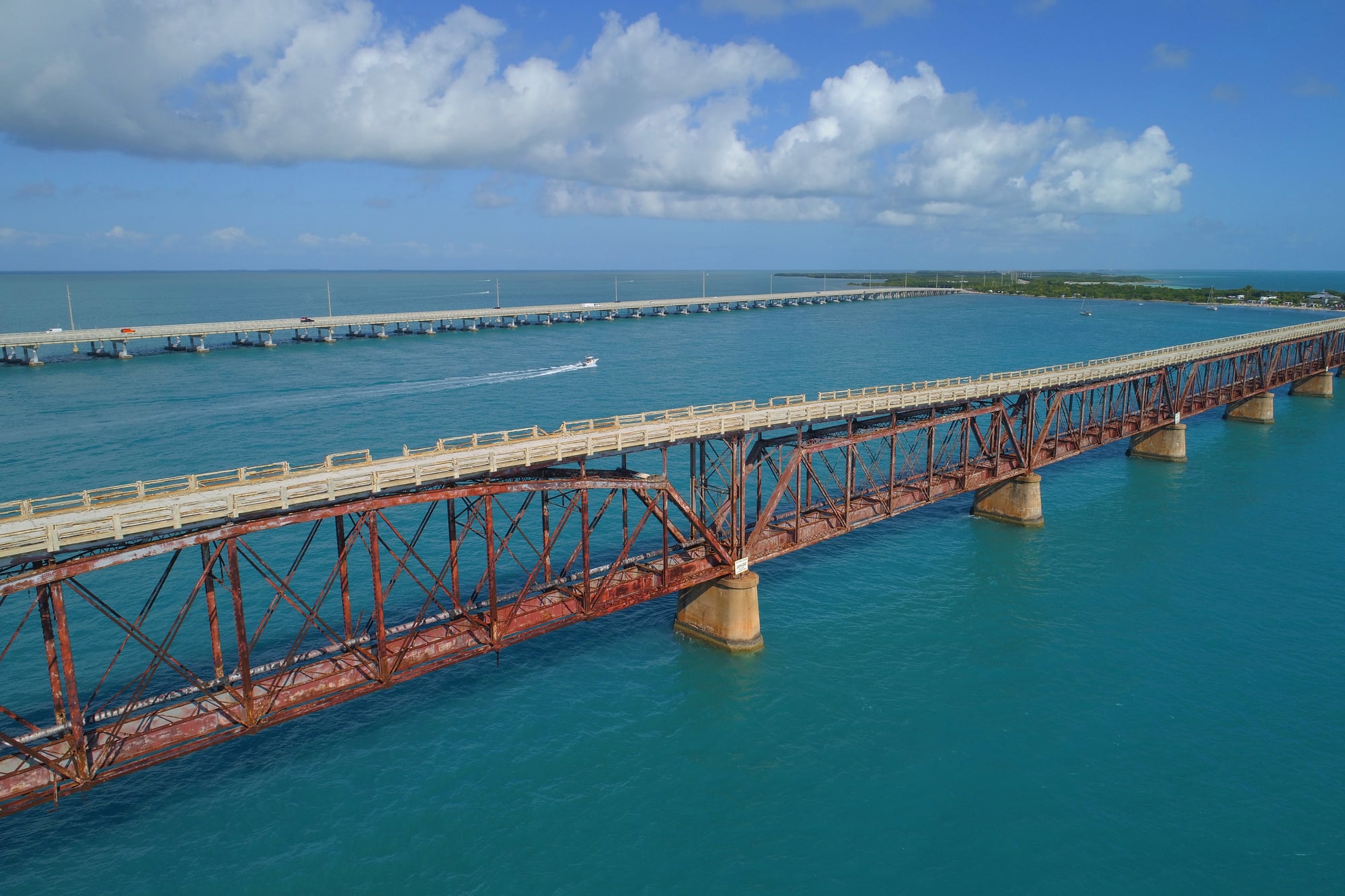
Overseas Highway
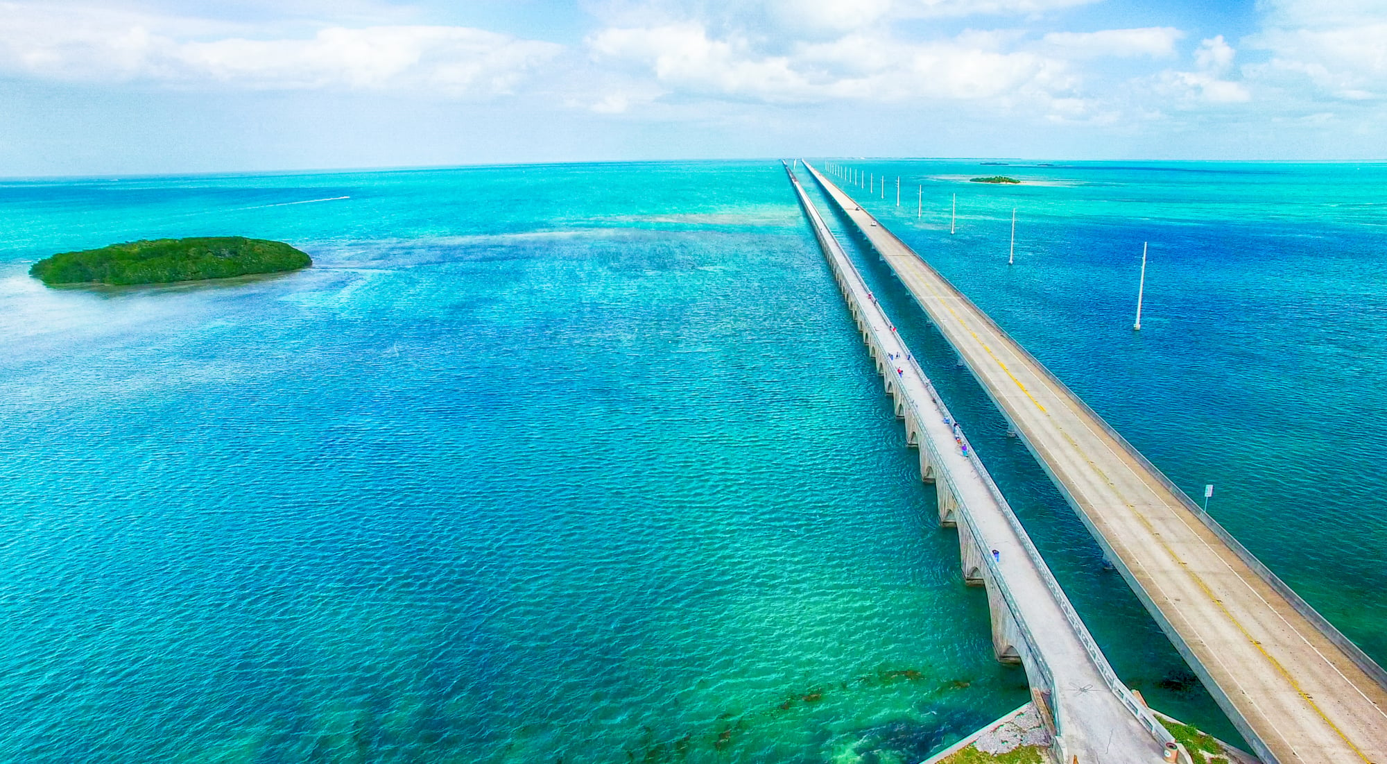
Early Florida Keys settlers used boat channels and island-hopping routes that became the foundation for this famous highway connecting the mainland to Key West. The 113-mile route over 42 bridges served as an escape path from mainland conflicts and economic troubles.
Island communities provided refuge for those fleeing yellow fever epidemics and political persecution — creating unique multicultural settlements.
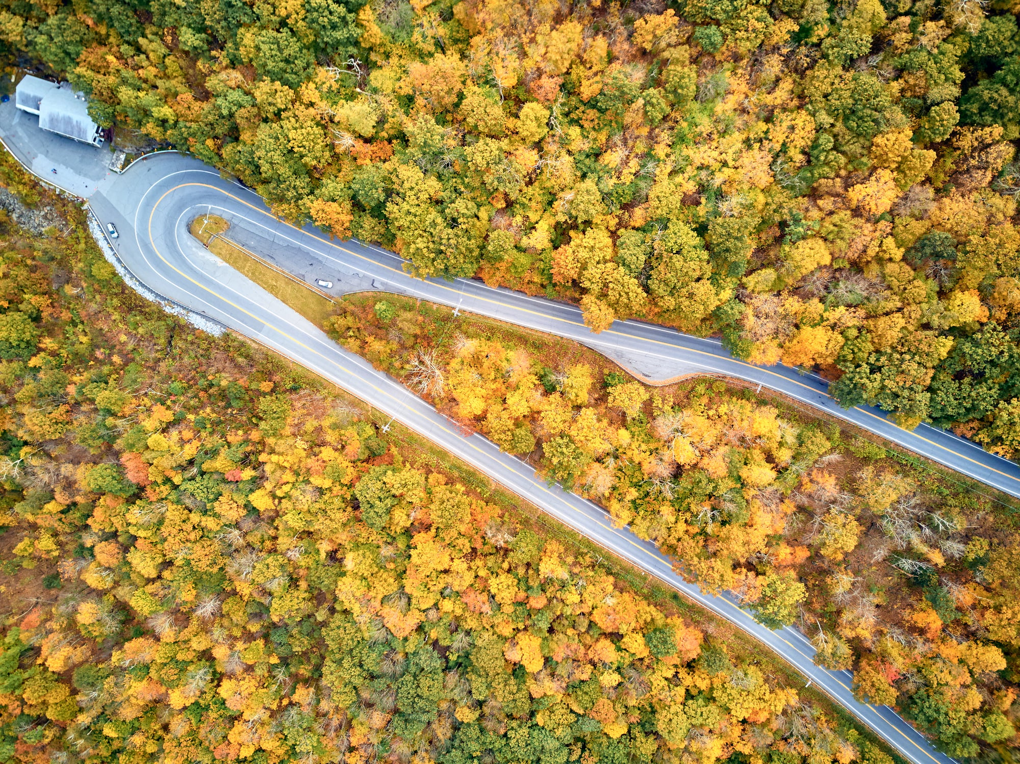
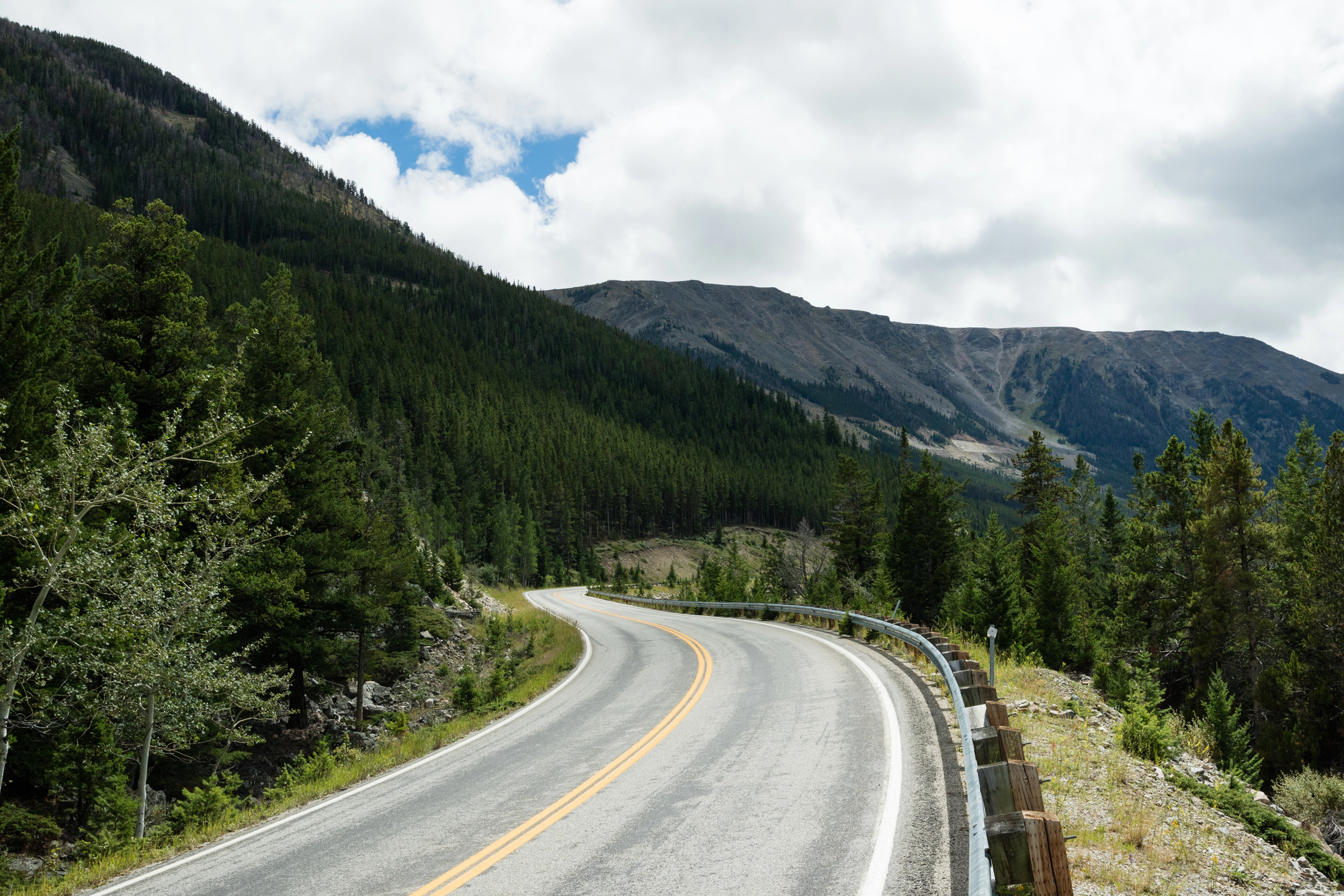
Million Dollar Highway
Miners and prospectors created this treacherous mountain route through Colorado’s San Juan Mountains to escape claim jumpers and transport precious metals safely. US Highway 550 between Ouray and Silverton follows their original path — offering breathtaking views of 14,000-foot peaks.
The route’s extreme elevation and narrow passes made it nearly impossible for large groups to follow, providing natural protection for small mining parties.
Like Go2Tutors’s content? Follow us on MSN.
Apache Trail
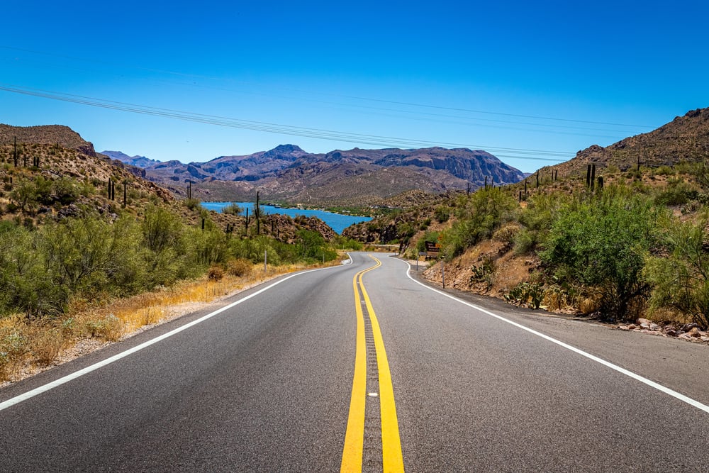
This rugged path through Arizona’s Superstition Mountains served as an escape route for Apache warriors evading U.S. Army pursuit during the Indian Wars. The 40-mile scenic drive showcases desert landscapes and ancient cliff dwellings while following the original trail.
Apache leaders like Geronimo used knowledge of hidden water sources and secret passages to outmaneuver larger military forces for decades.
Historic Columbia River Highway
Chinese immigrants and other minority groups used early versions of this route to escape persecution in Portland and other Oregon cities during the late 1800s. The scenic highway through the Columbia River Gorge features numerous waterfalls and dramatic canyon views.
Many families established hidden communities in the gorge’s remote areas, where steep terrain and dense forests provided natural protection.
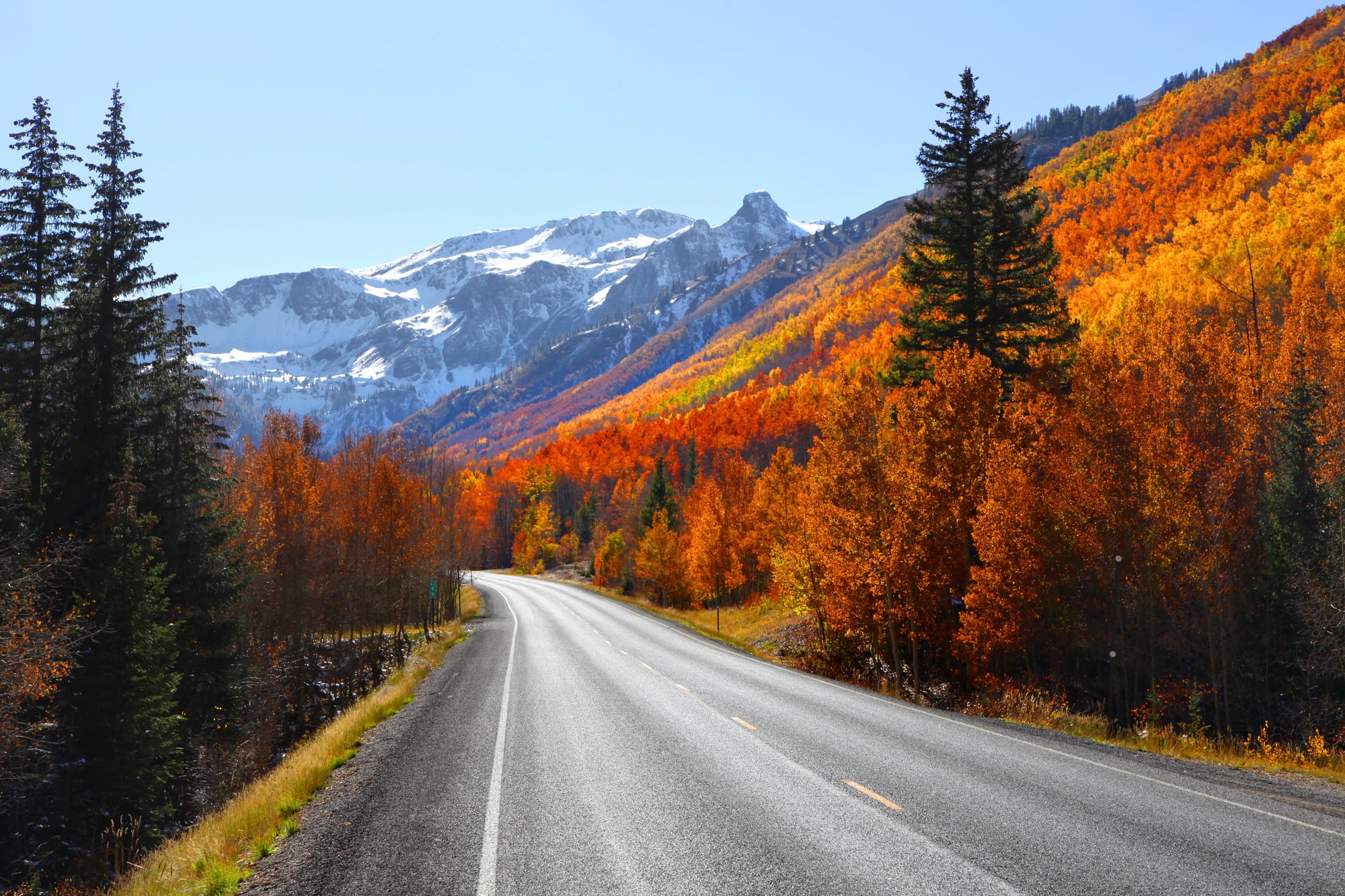
Beartooth Highway
Early fur trappers and mountain men carved paths through these Montana and Wyoming mountains to escape harsh weather and avoid conflicts with territorial tribes. The 68-mile highway reaches nearly 11,000 feet elevation, crossing some of the most remote terrain in the lower 48 states.
These extreme conditions actually provided safety for small groups who understood mountain survival, since few pursuers would risk following them into such dangerous territory.
Like Go2Tutors’s content? Follow us on MSN.
Skyline Drive
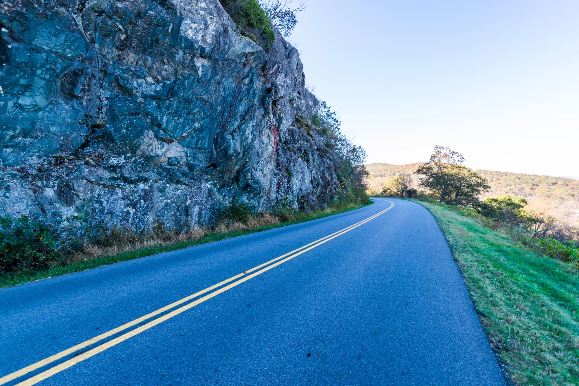
Confederate deserters and escaped slaves used early mountain paths through Virginia’s Blue Ridge Mountains to reach Union lines or find sanctuary in remote communities. The 105-mile scenic drive through Shenandoah National Park follows ridgelines that provided natural highways above valley conflicts.
Mountain communities often remained neutral during the Civil War, offering refuge to people from both sides who simply wanted to escape the violence.
Kancamagus Highway
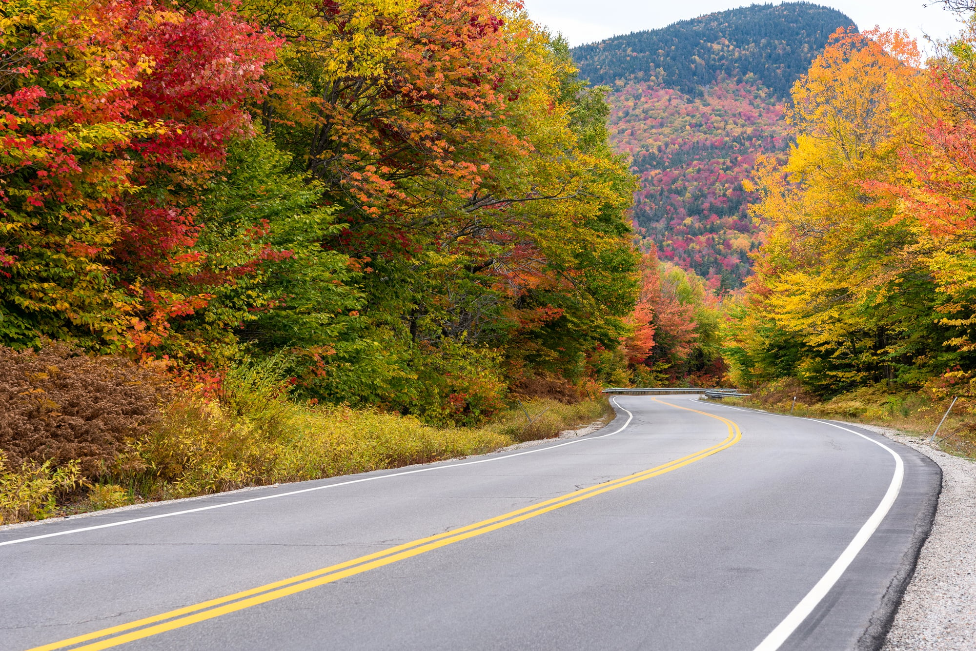
Native American hunters and later colonial settlers used this route through New Hampshire’s White Mountains to escape territorial conflicts and harsh coastal weather. The 34-mile scenic byway offers spectacular fall foliage and mountain views while following ancient travel corridors.
The path’s location along river valleys provided year-round water access and natural shelter, making it ideal for groups seeking refuge.
Rim Drive
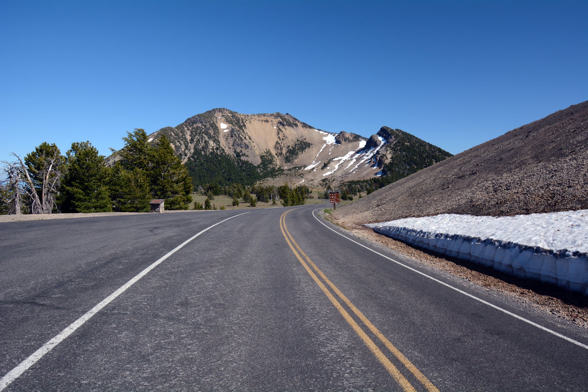
Native American tribes used trails around Oregon’s Crater Lake to escape conflicts and conduct spiritual ceremonies away from territorial disputes. The 33-mile loop road around the caldera offers stunning views of the deep blue lake and surrounding peaks.
The lake’s remote location and difficult access made it a perfect sanctuary where different tribes could meet peacefully and individuals could find spiritual refuge.
Like Go2Tutors’s content? Follow us on MSN.
From Survival to Serenity
These scenic routes remind us that many beautiful drives were born from human necessity rather than leisure planning. The same geographic features that made these paths perfect for escape now make them ideal for peaceful contemplation and recreation.
What once provided life-saving refuge from conflict and hardship has evolved into pathways for finding peace and connection with America’s diverse landscapes. Today’s travelers follow in the footsteps of countless individuals who carved these routes not for pleasure, but for survival itself.
More from Go2Tutors!

- 16 Restaurant Chains That Went Too Fast
- 12 Things Sold in the 80s That Are Now Illegal
- 15 Strange Things People Have Tried to Ban (And Failed)
- 16 Collectibles People Tossed Out Too Soon
- 17 Myths from Your Childhood That Were Actually Based on Real Things
Like Go2Tutors’s content? Follow us on MSN.