13 Photos From the Dust Bowl Years
The Dust Bowl was photographed more thoroughly than almost any other disaster of its decade. Federal photographers fanned out across the Plains with assignments in hand, and local residents pointed their own cameras at the horizon whenever a dark wall of dust appeared.
Many of those pictures survive in public collections, where they remain the quickest way to grasp what a black blizzard looked like.
Some were made by famous names, and others belong to small-town archives. A few come with arguments attached.
Black Sunday Rolls Toward Spearman, Texas
A photograph dated April 14, 1935, shows a towering dust cloud bearing down on Spearman, a small town in the Texas Panhandle. That day became known as Black Sunday, when a storm swept across the Southern Plains.
The name Dust Bowl is generally credited to an Associated Press reporter who wrote about the aftermath, and the phrase soon outran the storm that inspired it. The image is among the most reproduced in the region’s history because a single frame makes the scale of the cloud plain.
A Storm Approaches Stratford, Texas
Another 1935 image, now held in the digital library of the National Oceanic and Atmospheric Administration, shows a dust storm approaching Stratford, a Panhandle town in Sherman County. The cloud rises far above the roofs beneath it, a proportion that shows why people called these storms black blizzards.
Stratford sits on the high plains near the Oklahoma line, in the middle of the region hit hardest. The photograph has been reproduced so often that it now stands in for the drought years generally.
Dust Rolls Across the Prairie at Hugoton, Kansas
A photograph in a Kansas library archive is dated March 15, 1936, and shows a storm approaching Hugoton, in the southwestern corner of the state. Hugoton is the seat of Stevens County, part of the area where wind and drought stripped topsoil from wheat fields.
The exact date on the record is unusual, since many early snapshots of storms circulate without one. It makes the image useful to researchers trying to line up personal photographs with weather records.
A Storm Over Amarillo, Texas
Arthur Rothstein photographed a dust storm in Amarillo, Texas, in 1936 while working for the federal government’s photography project. Amarillo was the largest city in the Panhandle, which meant the dust fell on streets, shops, and offices rather than only on open fields. Rothstein had been the project’s first photographer, and the Plains became his proving ground.
The National Archives holds the print, which is why it turns up so often in public-domain collections.
A Farmer and His Sons Walk Into the Wind
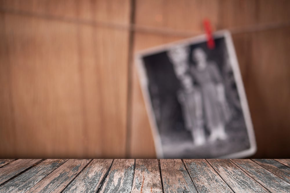
Rothstein photographed a farmer and his two sons crossing their yard in Cimarron County, Oklahoma, in April 1936, moving through a storm toward a shed. The picture is also known by the title Fleeing a Dust Storm.
It became one of the best-known images of the Dust Bowl and has its own entry in the online encyclopedia Wikipedia. Its power comes from scale, because the small figures and the buildings around them are nearly swallowed by the haze.
Sand Piled Against an Outhouse in Cimarron County
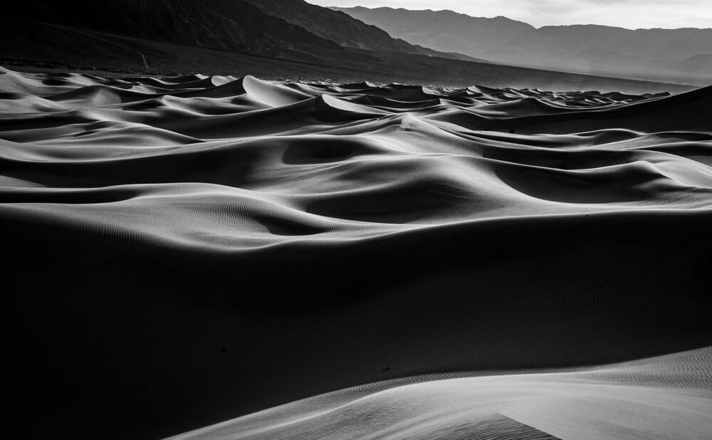
Rothstein’s work in Cimarron County, in the Oklahoma Panhandle, was not limited to dramatic storms. One photograph records sand piled in front of a farm outhouse, a plain detail that says more about daily life than a cloud ever could.
The drifts behaved like snow, blocking doors and fences and forcing families to shovel their way out. Pictures like this one gave city readers a household-scale view of a disaster measured in millions of acres.
The Steer Skull That Started an Argument
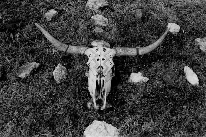
Rothstein’s 1936 photograph of a bleached steer skull on cracked ground in the Badlands of South Dakota, taken in Pennington County, is among the most debated images of the era. He moved the skull to a different spot before photographing it, and critics later accused the government of staging the scene.
Opponents of the New Deal seized on the episode that same year. It became an early lesson in how documentary photography can be challenged.
Elkhart, Kansas, Under a May 1937 Storm
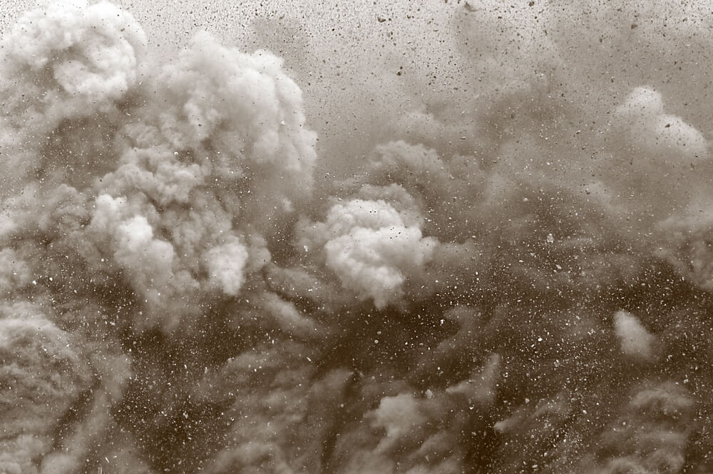
A vintage photograph labeled with Elkhart, Kansas, and the date May 1937 shows how long the storms persisted. Elkhart is the seat of Morton County, in the extreme southwestern corner of the state, where Kansas meets both Oklahoma and Colorado.
Years after Black Sunday, dust clouds were still arriving on the same horizons. The date makes the image a reminder that the crisis was not a single event but a run of bad seasons.
A Tractor Works the Ground in Childress County

Dorothea Lange titled one of her best-known 1938 photographs Tractored Out. It shows a farmhouse surrounded by heavily plowed fields, in the Texas Panhandle, where mechanization had helped push tenant families off the land. The title itself carries her argument, since it describes people replaced by machines rather than by weather alone.
The Museum of Modern Art holds prints of the image.
A Panhandle Farm Near Dalhart

Lange also photographed a farm in the Coldwater District near Dalhart, Texas, in the late 1930s. Dalhart lies in the northwestern corner of the Texas Panhandle, in the middle of the counties hit hardest.
The Oakland Museum of California holds Lange’s archive, so the image is cataloged alongside thousands of her other negatives and prints. Its plain caption records a place rather than a person, which keeps the focus on the land.
Oklahoma Families Camp by the Roadside at Blythe
In August 1936, Lange photographed drought refugees from Oklahoma camping by the roadside at Blythe, California. Blythe is a desert town near the Arizona line, one of the places where families first reached California after crossing the Southwest. The Harvard Art Museums holds a print of the image.
The setting is a reminder that the journey west was mostly made along highways, with whatever the family could carry.
Texas Families Squatting in Kern County
Lange photographed Texan squatters in Kern County, California, and her caption notes that they had left San Angelo, Texas. San Angelo is in West Texas, a reminder that the westward migration drew from the whole drought region, not only from the Oklahoma Panhandle often associated with the era.
Kern County, with Bakersfield at its center, was a major destination for farm labor. Locals lumped many of the arrivals together as Okies, whatever state they had actually left.
Migrant Mother at Nipomo
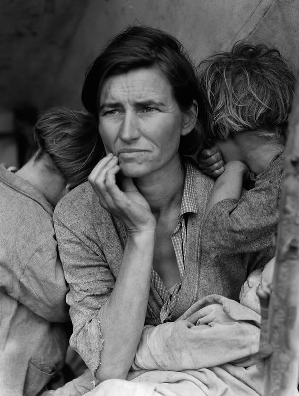
Lange photographed Florence Owens Thompson at a pea pickers’ camp in Nipomo, California, in March 1936. The Library of Congress caption describes a mother of seven children, age thirty-two.
Thompson’s name became widely known only decades later. The photograph is often attached to the Dust Bowl story, although the pea pickers’ camp reflected a broader farm-labor crisis.
When Photographs Became Evidence
Taken together, the pictures show how the Dust Bowl entered public memory through a few repeated images: a looming cloud, a buried fence, a family on a highway. Many were produced by government photographers whose job was to document conditions for policymakers.
That purpose gave the work urgency, and it also made it a target, as the steer skull dispute showed.
The photographs from small-town archives matter just as much, because they record the same storms through local eyes and with local dates. Between the two groups, the visual record is broad enough to check one image against another.
That cross-checking is what keeps a famous picture honest.
More from Go2Tutors!

- The Romanov Crown Jewels and Their Tragic Fate
- 13 Historical Mysteries That Science Still Can’t Solve
- Famous Hoaxes That Fooled the World for Years
- 15 Child Stars with Tragic Adult Lives
- 16 Famous Jewelry Pieces in History
Like Go2Tutors’s content? Follow us on MSN.