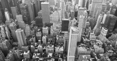
Historic Photos of Neighborhoods Before Urban Renewal
Mid-century planners called these places blighted, and city maps were redrawn around that word. The photographs made before the bulldozers arrived tell a more crowded and more cheerful story, full of porches, storefront signs, church steps and kids in the street.
Each of the neighborhoods below was cleared or cut through by redevelopment, highway building or institutional expansion. What the pictures keep is the ordinary texture of daily life that no master plan bothered to record.
Bunker Hill Victorians Above Downtown Los Angeles
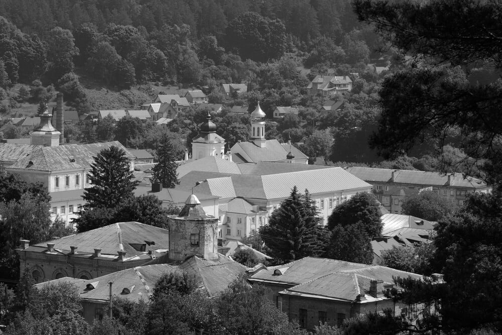
Old photographs of Bunker Hill show steep streets lined with turreted Victorian mansions that had slipped into boarding houses by the middle of the twentieth century. Residents rode the little Angels Flight funicular up and down the slope, a short trip that appears in countless snapshots of the neighborhood.
The Community Redevelopment Agency cleared the hill in the decades after World War II, and Angels Flight was taken apart in 1969. Office towers, a cultural complex and wide plazas now occupy ground where laundry once hung from the back porches of rooming houses.
Chavez Ravine Before the Stadium
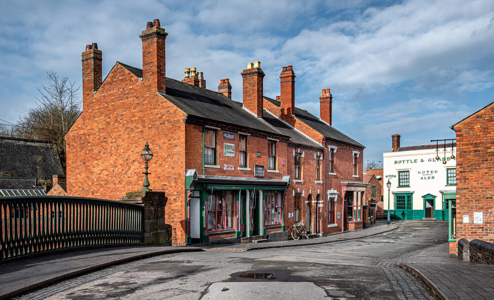
Pictures of Chavez Ravine show small frame homes, vegetable gardens and dirt lanes scattered across hillsides just north of downtown Los Angeles. Families in the communities of Palo Verde, La Loma and Bishop, most of them Mexican American, had lived there for generations.
A federal public housing plan promised to replace the homes, then collapsed amid political attacks, and the land was later sold to the Dodgers. Sheriff’s deputies carried residents out in 1959, and bulldozers followed. Dodger Stadium opened on the site in 1962, with a parking lot where the ravine’s streets used to run.
Boston’s West End Rowhouse Streets
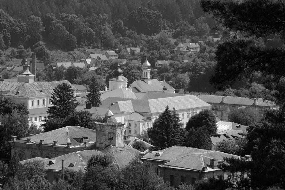
Photographs of Boston’s West End capture tight brick rowhouses, corner variety stores and kids playing on stoops in a district settled by Italian, Jewish, Irish and Polish families. The sociologist Herbert Gans lived among them in the late 1950s and described the community in his book The Urban Villagers, published in 1962.
Officials labeled the area a slum, and most of it was leveled in the late 1950s. Residents were scattered across the region, and tall apartment towers called Charles River Park rose on the cleared land beside Massachusetts General Hospital.
Lower Hill District Jazz Corridor
— Photo by Lifes_Sunday
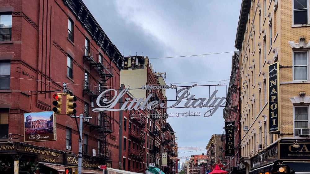
The Lower Hill District in Pittsburgh was nicknamed Little Harlem, and photographs show Wylie Avenue crowded with theaters, barbershops, rooming houses and nightclubs. The Crawford Grill became a favorite stop for touring jazz musicians, and the neighborhood drew performers whose names filled marquees nationwide.
In the late 1950s, a large part of the area was cleared for a cultural and sports complex. The Civic Arena, with its retractable dome roof, opened in 1961. Many displaced families moved to other parts of the Hill, and the arena itself was demolished decades later.
Rondo Avenue Before the Interstate
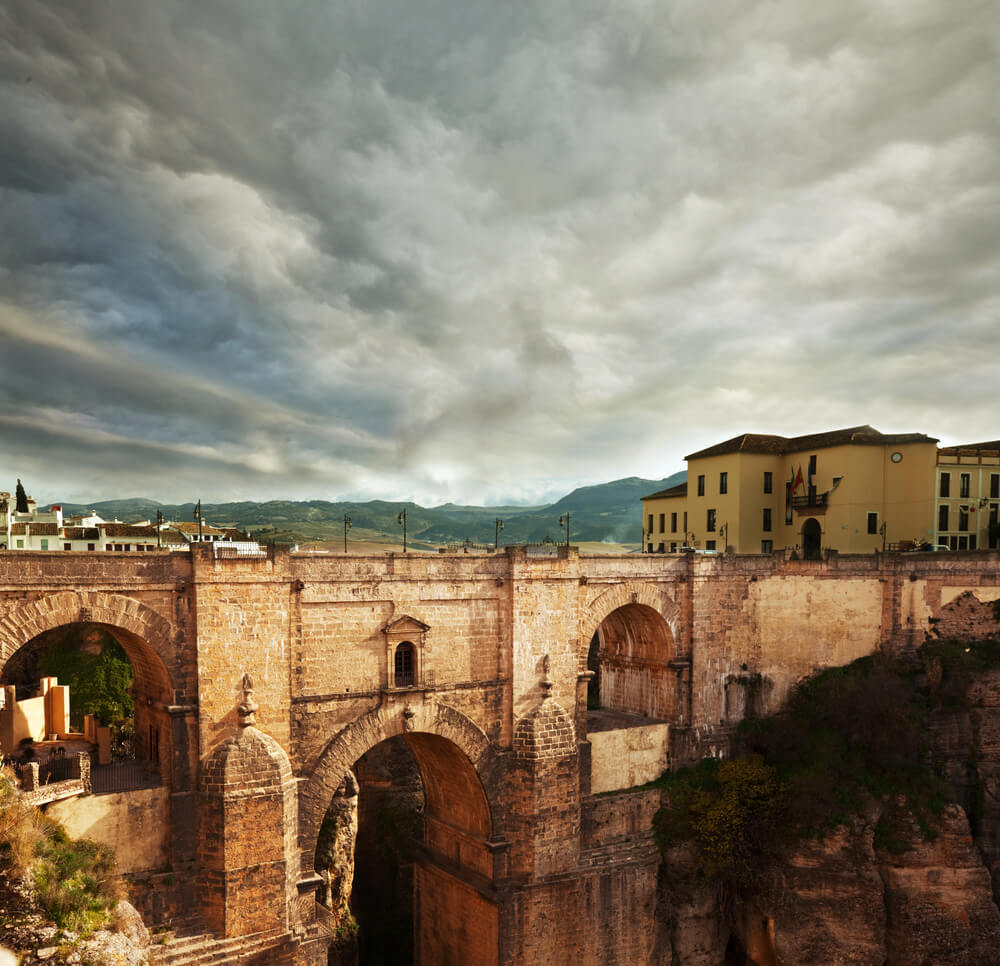
Rondo was the heart of Black life in St. Paul, and surviving photographs show a lively mix of family homes, churches, barbershops, groceries and small businesses along its main avenue. The neighborhood held a close network of railroad porters, teachers and shop owners who knew one another by name. Interstate 94 was routed straight through it in the 1960s, and many homes and businesses were taken.
Former residents and their descendants still gather each summer for Rondo Days, a festival that keeps the old avenue in memory when the street itself no longer looks the same.
Southwest Washington Alley Blocks
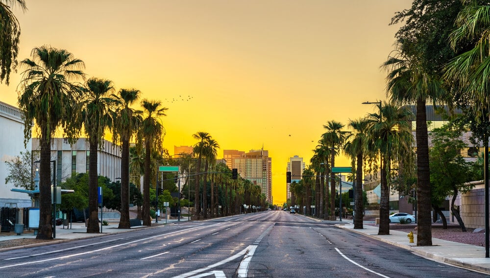
Early photographs of Southwest Washington show narrow rowhouses, corner groceries and hidden alley dwellings only a few blocks from the Capitol. Housing conditions were poor in places, and the area became a national test case for clearance.
In 1954 the Supreme Court upheld the plan in Berman v. Parker, ruling that a city could take property to redevelop an entire district. Most of the old street grid vanished, and modern apartments, federal office blocks and the L’Enfant Plaza complex replaced it. A few colonial-era houses survived as isolated reminders.
Overtown’s Little Harlem Nights
— Photo by Hackman
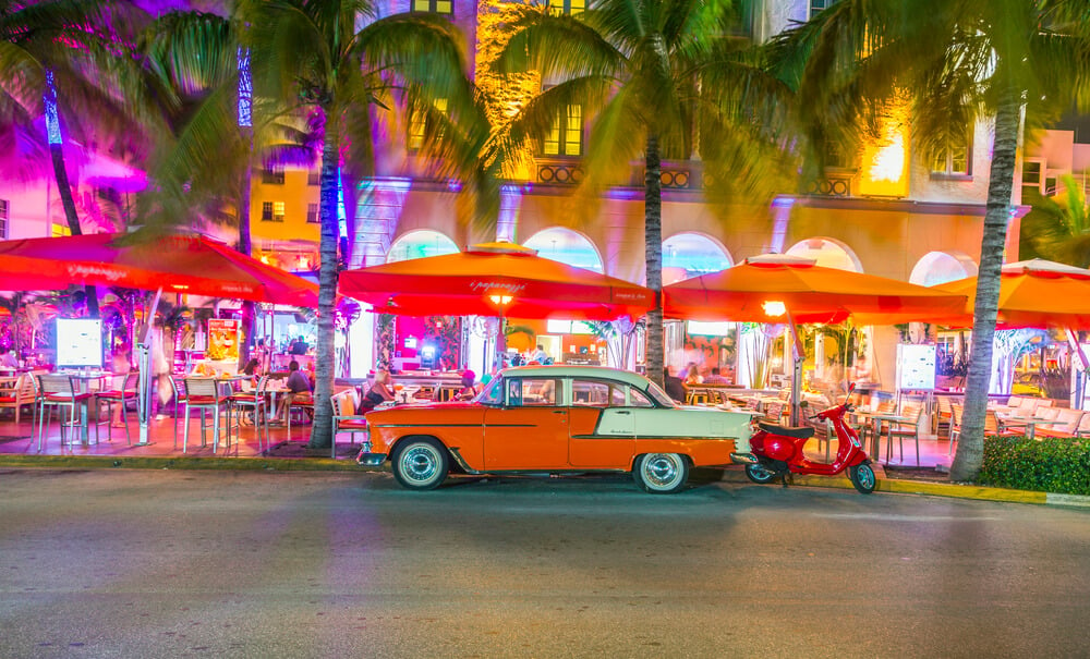
Overtown, once called Colored Town, appears in vintage photographs as a busy strip of hotels, dance halls and shops along Northwest Second Avenue. Because of segregation, famous performers who played the resorts on Miami Beach often slept in Overtown’s hotels, then stayed up late to jam in neighborhood clubs.
In the 1960s, the interstate system plowed through the district, and a tangle of ramps and overpasses replaced much of the grid. Thousands of residents lost their homes, and the nightlife that once earned the nickname Little Harlem faded along with them.
Black Bottom and Paradise Valley Storefronts
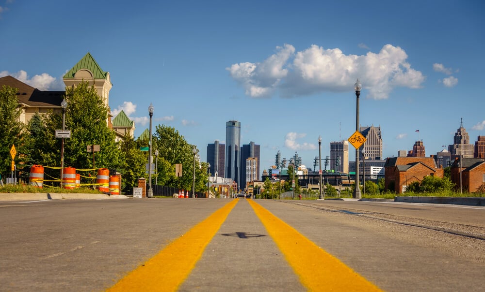
Detroit’s Black Bottom and the commercial district called Paradise Valley were a dense neighborhood of homes and businesses on the east side of downtown. Photographs show crowded Hastings Street lined with restaurants, record shops, doctors’ offices and music clubs.
City officials declared the area blighted, and clearance moved forward in the 1950s. Ground was broken in 1959 for a freeway later named for Chrysler, which sliced through the old streets. A modern housing development called Lafayette Park, with towers designed by Mies van der Rohe, took the place of the neighborhood’s blocks of row buildings.
Fillmore Streets and Japantown Corners
— Photo by filedimage
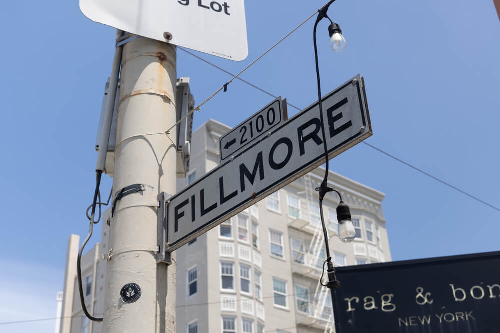
Photographs of San Francisco’s Western Addition show rows of Victorian flats, jazz clubs and small businesses along Fillmore Street, with Japantown just to the north. During and after World War II, Black families moved in as Japanese American residents were sent to incarceration camps, and the Fillmore grew into a lively music district.
Redevelopment began in the 1950s and swept through multiple blocks, and wide Geary Boulevard cut a path between Japantown and the Fillmore. Japan Center, a shopping and cultural complex, opened in 1968, but many Victorian buildings and small businesses were never replaced.
Syracuse’s 15th Ward Corner Blocks
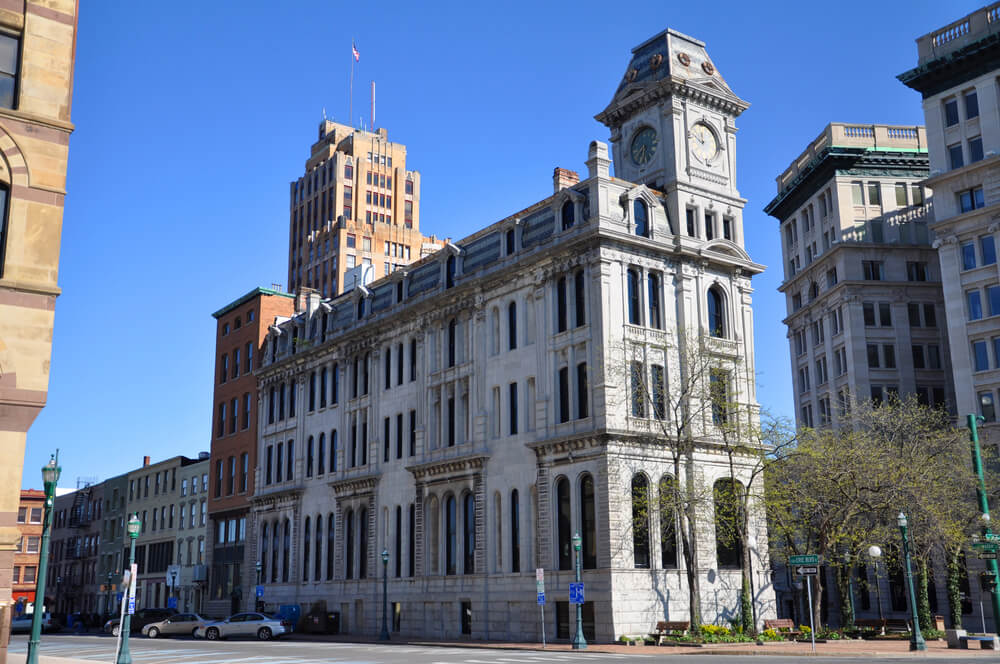
Syracuse’s 15th Ward was a crowded mixed neighborhood on the near east side of downtown, where Black families lived close to Jewish and Italian neighbors. Photographs show wood-frame houses, small shops and church buildings on tight city blocks.
The state routed Interstate 81 through the area in the 1950s and 1960s, and an elevated viaduct rose above the cleared land. Planners later admitted that the highway had split the city by race and income, and plans eventually called for replacing the viaduct with a street grid that reconnects the neighborhoods.
Charlotte’s Brooklyn Main Streets
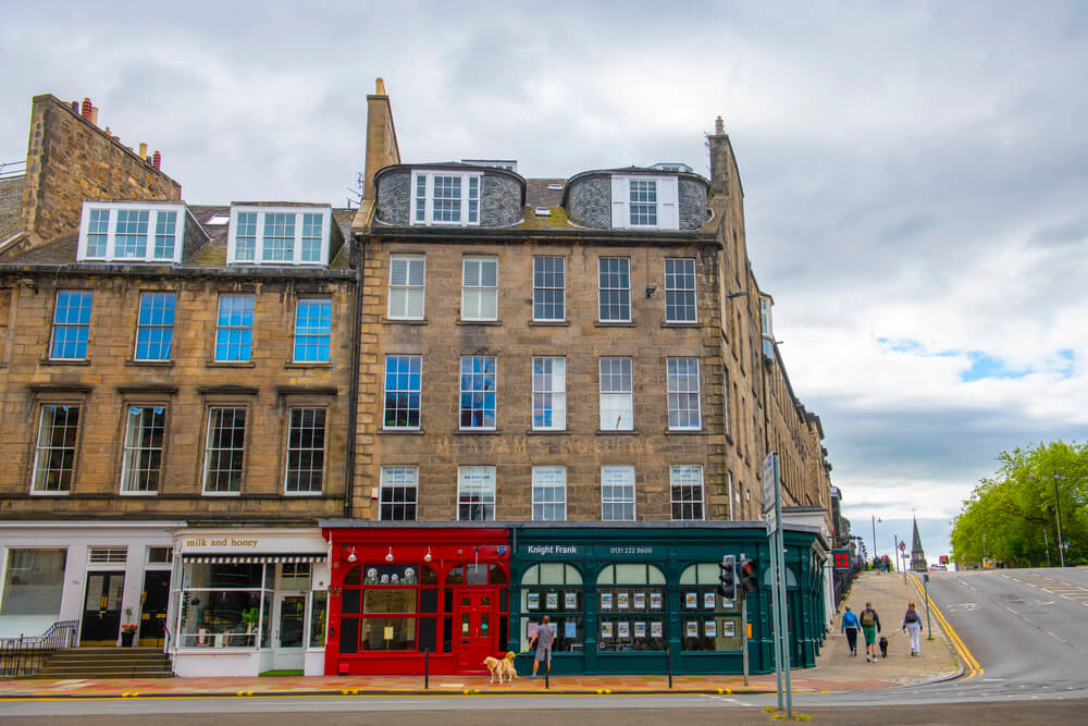
Brooklyn was the largest Black community in Charlotte, and old photographs show tidy streets with churches, schools, barbershops, theaters and rental houses just south of the uptown business district. Many residents were renters, which made it easier for the city to treat the area as expendable.
Urban renewal in the 1960s leveled around 1,400 buildings and displaced thousands of people. Government offices, parking and open lots replaced the old neighborhood. Decades later the city restored the historic street names, an effort to keep some memory of Brooklyn on the map.
Buttermilk Bottom Hillside Homes
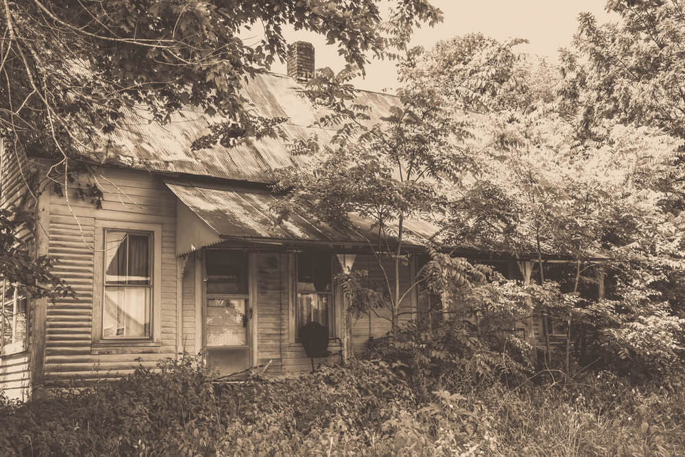
Buttermilk Bottom was a low-lying area of Atlanta near downtown, and pictures show modest houses packed along dirt and gravel streets that often flooded after hard rain. Black and white families lived there, and the district had a reputation for poverty that city leaders used to justify clearing it.
Redevelopment in the early 1960s removed the homes, and the Atlanta Civic Center rose on part of the land. Several decades after that, the Civic Center was itself closed and sold, and new development plans were announced for the same ground.
New Haven’s Oak Street Blocks
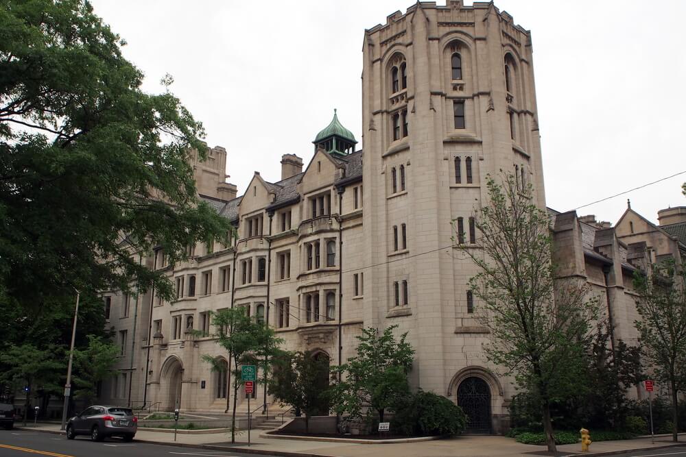
Before the Oak Street Connector was built, Oak Street in New Haven was a crowded neighborhood of tenements, shops and small churches near downtown. City leaders held it up as an example of blight, and the redevelopment agency, directed by Edward Logue, planned a new highway to link the interstate to the city center.
Hundreds of families and businesses were removed in the late 1950s. The highway arrived and turned out to be much wider than anything the traffic needed. Planners later redesigned the corridor, and the old road eventually returned to something closer to a city street.
Cincinnati’s Kenyon-Barr Streets
— Photo by KSponsler
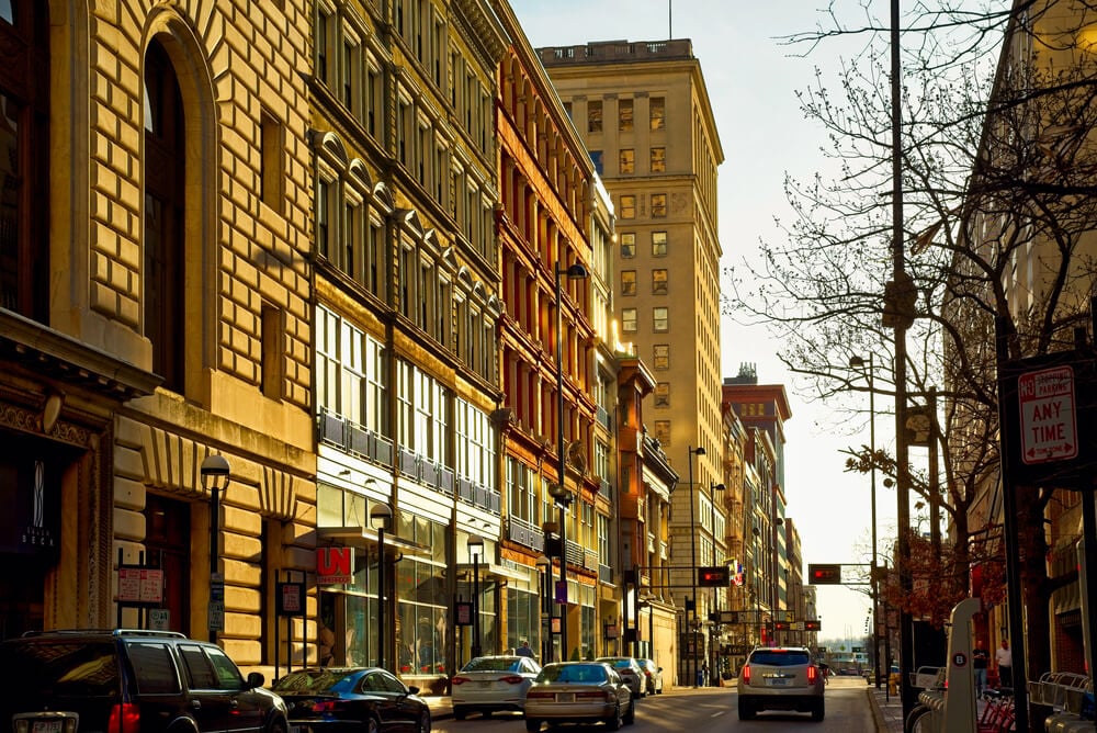
Photographs of Cincinnati’s Kenyon-Barr district, part of the larger West End, show dense blocks of brick tenements, corner taverns and churches filled with families who had come north in the Great Migration. According to one published tally, 25,737 people lived in the area when the city decided to clear it in the late 1950s.
The land became an industrial and commercial area later named Queensgate, and the Mill Creek Expressway carried traffic through what was left of the West End. In 2023 the city of Cincinnati formally apologized for the damage.
Newark’s Central Ward Corners
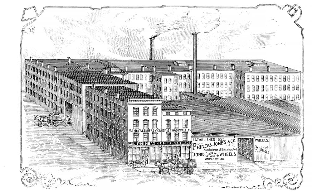
In old photographs of Newark’s Central Ward, Springfield Avenue and its side streets teem with grocery stores, drugstores, tenements and small apartment buildings on crowded city blocks. Many residents were Black families who had moved up from the South, and the neighborhood held churches, social clubs and independent shops.
In the 1960s, the state set aside a large tract for a new medical school campus, and homes along with businesses were condemned. Residents protested that the plan would leave thousands without housing. Anger over the project fed into the tension that exploded in 1967.
Chicago’s Taylor Street Italian Quarter
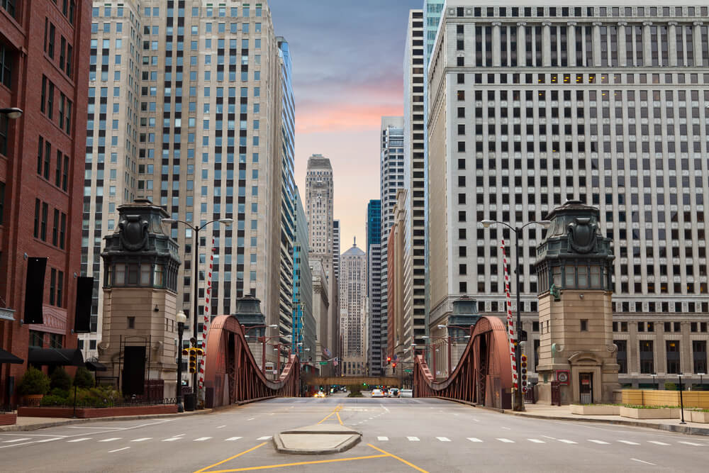
Chicago’s Near West Side was a crowded patchwork of Italian, Greek and Mexican families, and photographs show pushcarts, produce stands and tenements stacked tightly along Taylor Street. Jane Addams’s Hull-House stood at the center of the area, offering classes, a nursery and a gym for immigrant families.
In the late 1950s and early 1960s, the city chose the district for a new University of Illinois campus. Residents of Little Italy and Greektown protested the plan and lost. Most blocks were razed, though a couple of Hull-House buildings survived as a museum.
Radio Row Storefronts on Cortlandt Street
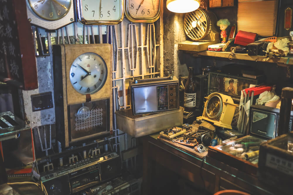
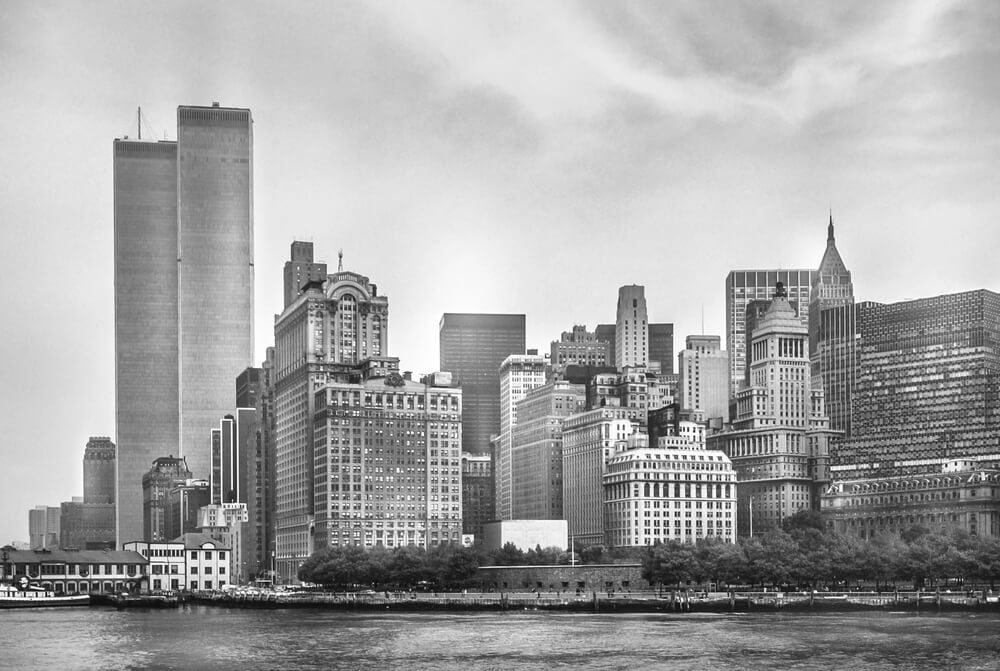
Cortlandt Street in Lower Manhattan was known as Radio Row, and photographs show cramped shops stuffed with vacuum tubes, speakers, wire and surplus gear, with signs hanging out over the sidewalk. Hobbyists, engineers and curious shoppers came to hunt for parts they could not find elsewhere.
The Port Authority chose the district as the site for the World Trade Center, and the shops were forced out in the mid-1960s. Merchants scattered or closed. The twin towers rose where the electronics dealers once worked, and a few of the owners stayed in business elsewhere.
Scollay Square After Dark
— Photo by mnassal
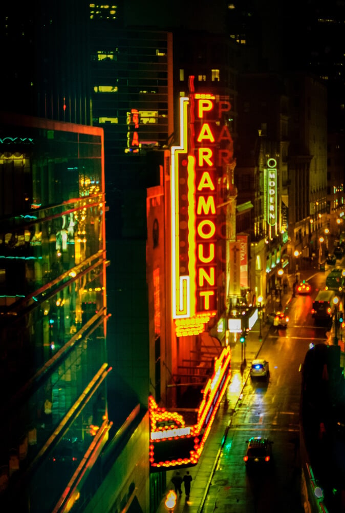
Scollay Square in Boston was a lively entertainment district for sailors, students and office workers, and old photographs show neon signs, theaters and lunch counters crowding the streets. The Howard Athenaeum and other venues staged vaudeville and burlesque shows for decades.
City leaders saw the district as seedy, and in the early 1960s, nearly all of it was demolished to make room for Government Center. A massive concrete Boston City Hall now sits on a brick plaza where the square’s crooked streets once led visitors toward the harbor.
Durham’s Hayti Churches and Shops
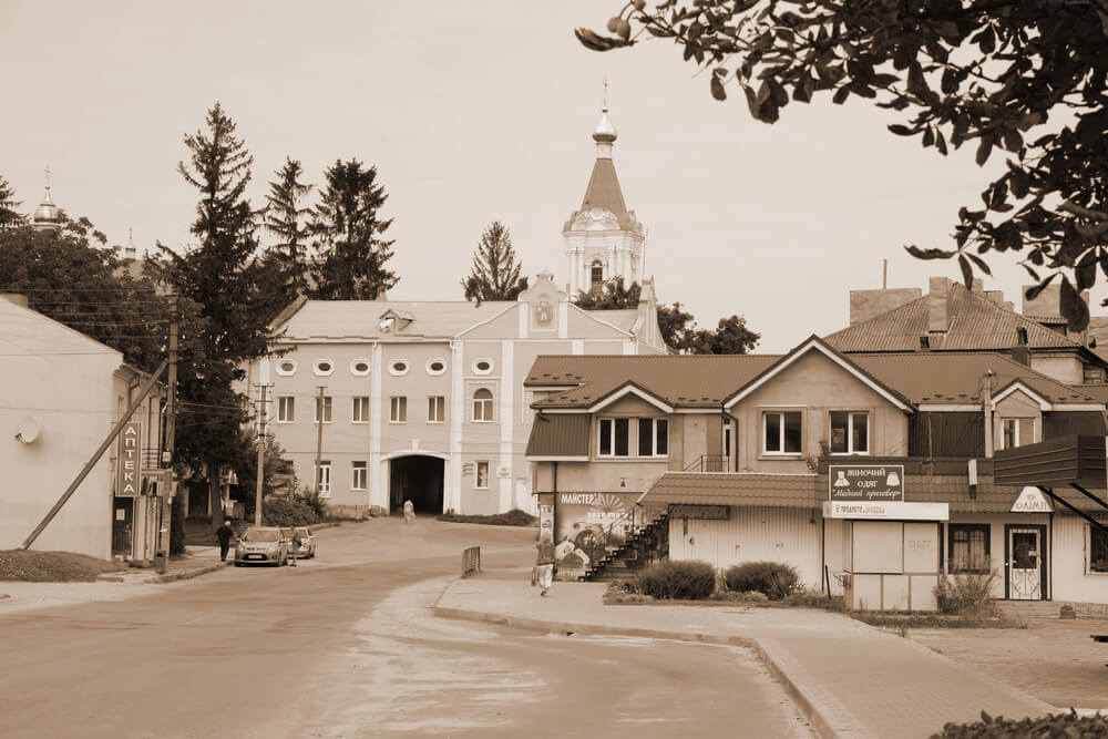
Hayti, the Black neighborhood on the south side of Durham, grew around Pettigrew Street and held churches, schools, doctors’ offices and businesses owned by Black families. Nearby Parrish Street earned the nickname Black Wall Street because of the insurance and banking firms based there.
In the 1960s and 1970s, the Durham Freeway was built through Hayti, and hundreds of homes and shops were taken. St. Joseph’s AME Church survived and now operates as the Hayti Heritage Center, where photographs of the old district are displayed.
Washington Market Produce Streets
— Photo by JJFarquitectos
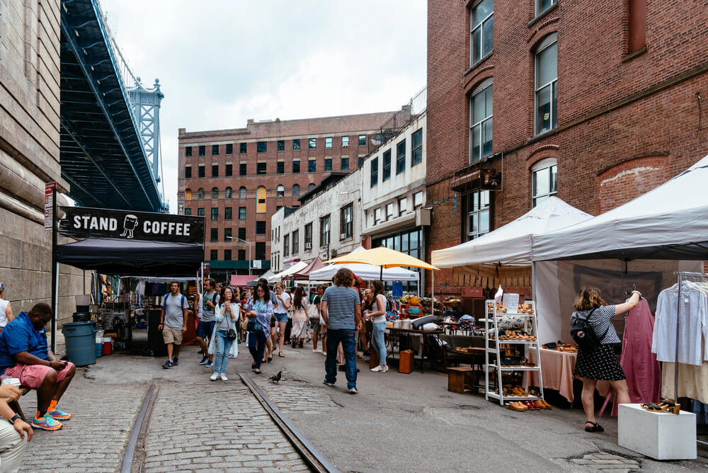
The old Washington Market area on Manhattan’s lower west side was the city’s main produce district, and photographs show carts, crates and delivery trucks jamming narrow streets lined with cast-iron and brick buildings. Dealers sold fruit, vegetables, eggs and butter to restaurants and grocers across New York.
By the 1960s, the aging market was slated for urban renewal, and the dealers relocated to the Bronx. Apartment towers, a college campus and a neighborhood park took over the cleared blocks, and the park kept the old market’s name.
When Blight Became a Blank Slate
Taken together, the photographs show how often the word blight meant a neighborhood that did not appear on a planner’s wish list. City leaders drew boundaries around places full of working families, shops and churches, then described them as obstacles to progress.
Federal money and eminent domain made clearance fast, and replacement housing was often slow or never arrived. The pictures survive because someone cared enough to point a camera at an ordinary corner.
Today they serve as evidence of what a street can hold when nobody is measuring it for removal. Many of the cleared blocks are being studied, honored or rebuilt, and the old images give those efforts something concrete to match.
More from Go2Tutors!

- 27 Silver Dollars and Half Dollars Worth Keeping
- 28 Restaurant Menu Items Nobody Orders Anymore
- 17 Places Built in Seemingly Impossible Spots
- 27 Vintage Rings Worth More Than They Look
- 25 Restricted Sites Tourists Can’t Enter
Like Go2Tutors’s content? Follow us on MSN.