How a Tiny Error on a Map Once Caused a Dispute That Lasted Over a Century
Maps feel like facts. A line on paper looks so certain, so finished, that it’s easy to forget somebody had to guess at parts of it once, working from secondhand reports and old sketches instead of the land itself.
Somewhere along the US-Canada border, one of those guesses turned out to be wrong enough that it took more than a hundred years, several treaties, and more than one exhausted survey crew to finally sort it out. What follows is the story of how a single mistaken assumption about a lake’s shape ended up creating one of North America’s strangest little corners, and why it took a full century for anyone to fix it.
The Treaty of Paris and the Mitchell Map
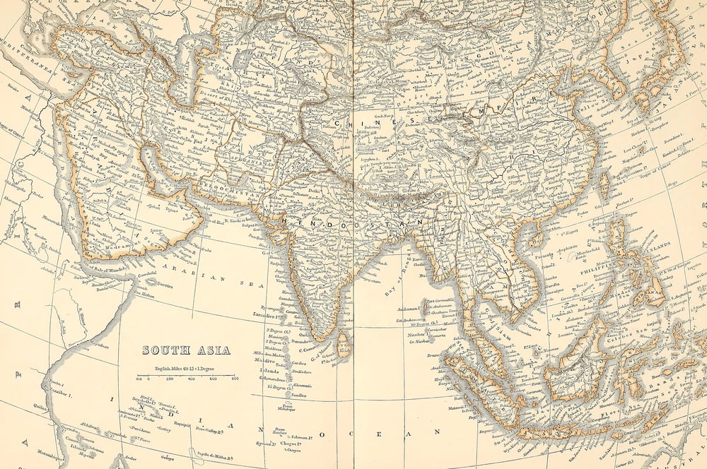
In 1783, the United States and Great Britain sat down to end a war and draw a border. They reached for the best available reference: John Mitchell’s map of North America, drafted decades earlier in 1755.
It was detailed for its time. It was also wrong in places nobody had actually surveyed.
The Mississippi That Wasn’t There
The treaty said the boundary would run from the northwest corner of Lake of the Woods due west until it struck the Mississippi River, then follow that river north to its source — except the mapmakers had assumed, wrongly, that the Mississippi’s headwaters sat somewhere north of the lake, when in reality the river’s actual source, a small lake now called Itasca, sits well south of it. So the line the treaty described simply couldn’t exist: you cannot draw a straight path to a point that isn’t there.
And nobody caught the error until surveyors actually went looking for that river, decades later, with instruments instead of guesswork. The gap between the treaty’s confident language and the land’s actual shape became the whole problem.
Lake of the Woods’ Strange Shape
Lake of the Woods refuses to behave like a lake is supposed to on a map, it sprawls into thousands of bays and inlets and islands, like a puddle that got ambitious and started arguing with the shoreline. Mapmakers of the 1700s, working from sketches and secondhand accounts, drew it as something tidier than it ever was.
The real lake corrects you the moment you try to pin down its “northwest corner,” because depending on which bay you count, that corner moves. That single stubborn detail, more than the war or the treaty, is what set the whole dispute in motion.
The Impossible Line
Nobody involved in the 1783 treaty had actually stood at Lake of the Woods and looked north. That’s the real embarrassment here: diplomats in Paris signed off on a boundary description based on a map nobody had field-tested, and the land simply didn’t cooperate.
To be fair, eighteenth-century surveying tools were primitive, but a little humility about that fact would have saved everyone a century of headaches. Instead, the treaty spoke with total confidence about a line that, geographically speaking, made no sense.
Enter the Northwest Angle
Eventually somebody had to fix this. The fix created something stranger than the original problem: a jagged piece of land now called the Northwest Angle.
It juts north from Minnesota, past the 49th parallel, surrounded on three sides by Canadian water and land. It exists purely because of that old mapmaking mistake.
Early Surveys Go Nowhere
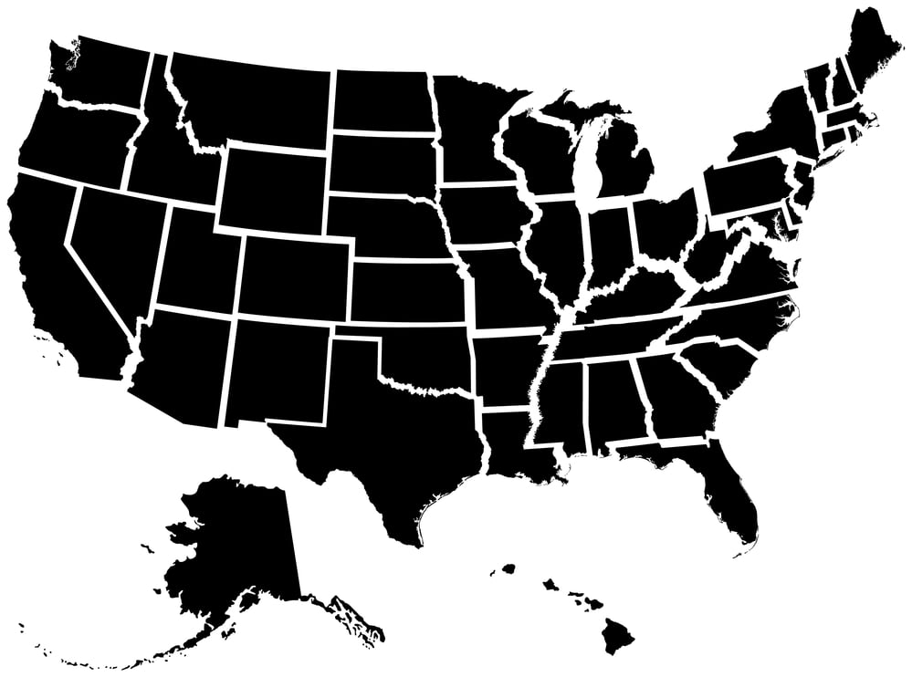
Surveyors tried repeatedly through the early 1800s to locate the actual “most northwestern point” of Lake of the Woods, the phrase the treaties kept using as if the lake would simply hold still and let them find it — but between ice, dense forest, and a shoreline that fractures into hundreds of coves, early expeditions kept returning with different answers. One team would mark a point, another would arrive years later and mark a different one entirely, and nobody in Washington or London seemed eager to referee the disagreement.
So the boundary sat there, technically agreed upon in language: practically unresolved on the ground. And that gap between paper and place is exactly what let the dispute drag on for generations.
David Thompson’s Expedition
David Thompson spent years wandering the borderlands with a sextant and a notebook, doing the patient, unglamorous work that treaties always assume someone else will do. He wasn’t chasing glory out there among the reeds and rock islands, he was chasing a single coordinate that two empires had promised each other existed.
His surveys in the 1820s narrowed the guesswork without ending it, the way a good detective narrows a suspect list without making an arrest. The exact point he was hunting for stayed just out of reach for decades after he’d moved on.
The 1818 Convention’s Partial Fix
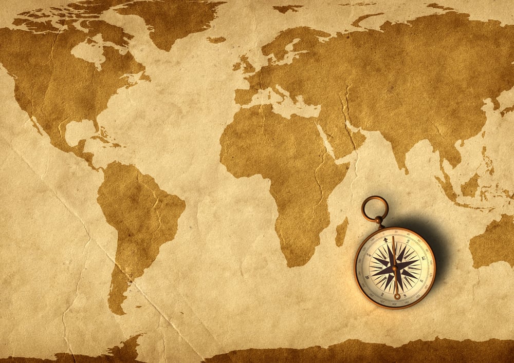
The 1818 Convention gets credit for cleaning up the border west of the lake, and it deserves that credit — it drew the 49th parallel clean across the continent from Lake of the Woods to the Rockies. What it didn’t do is settle where, exactly, that starting point at the lake actually sat.
Diplomats fixed the easy part and left the hard part for later, which is a very human thing to do and also a very unhelpful one. The Northwest Angle’s odd shape is the leftover of that unfinished business.
A Border Nobody Could Find
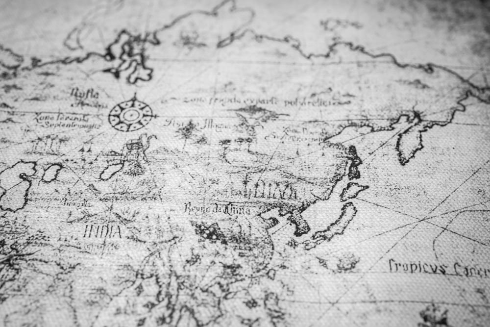
For most of the 1800s, almost nobody who actually lived near the Angle knew exactly where the line ran. Trappers crossed it without noticing.
Fishermen crossed it daily. The boundary existed on treaties in London and Washington, but out on the water, it was invisible.
Life in a Geographic Loophole
Because the Angle connects to the rest of Minnesota only by water or by a long drive through Canadian territory, the small number of families who settled there ended up living inside a kind of geographic loophole: American citizens, on American soil, reachable only by passing through another country first. Mail, supplies, even schoolchildren (when there were schoolchildren to send) had to cross an international boundary just to reach the rest of their own state, which sounds like a bureaucratic joke until you remember somebody actually had to live it.
And the strange part is how ordinary it became — residents just adjusted, the way people do when the paperwork of nations refuses to match the shape of the land under their feet. So the error that started in a meeting room in 1783 was still shaping daily errands more than a hundred years later.
The Ojibwe and the Angle
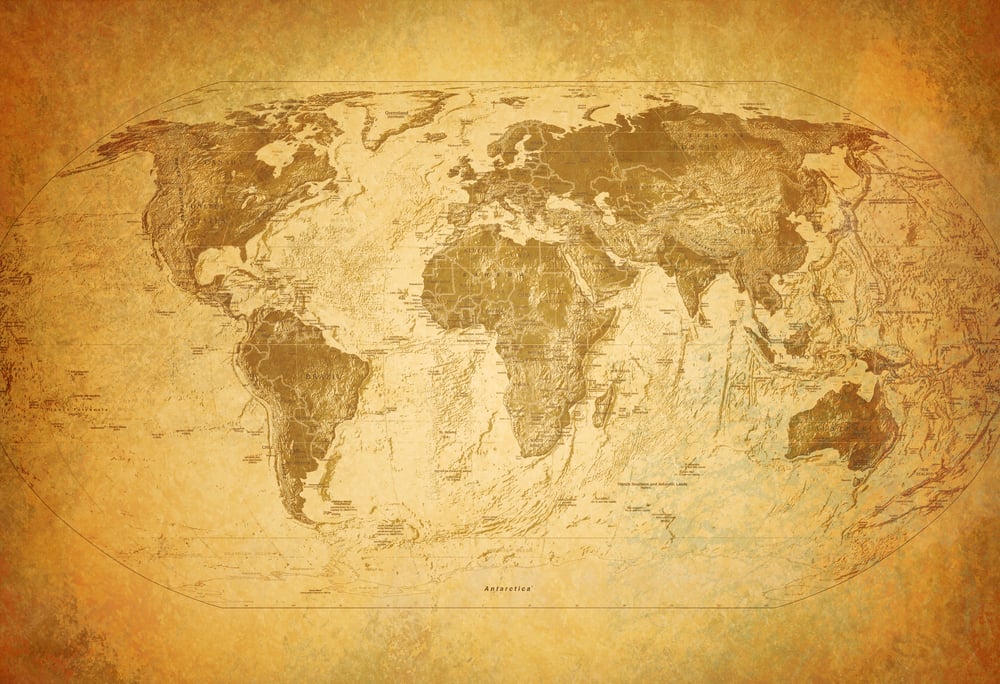
Long before any treaty tried to slice this land into nations, the Ojibwe moved through these waters as one continuous place, following fish and fur and season rather than lines drawn by men who’d never been there. The border, when it finally arrived, didn’t ask their permission and didn’t much care about the routes they’d used for generations.
It sliced through territory the way a knife sometimes cuts a photograph, technically dividing something that never had a seam to begin with. Their presence on both sides of that later, argued-over line is a reminder that the dispute was always more of an outsider’s problem than a local one.
Fur Traders and Fishermen Caught Between Nations
Fur companies didn’t wait around for diplomats to sort out a lake’s coordinates. The Hudson’s Bay Company and American traders both operated near the Angle as if the boundary were a rumor rather than a rule, because for practical purposes, it was.
Enforcement was nearly impossible when nobody agreed on where enforcement should even begin. Which meant, for decades, the real border was whichever trading post happened to be closest.
The International Boundary Commission Steps In
Things finally moved in the early 1900s. The United States and Britain, on behalf of Canada, set up a proper International Boundary Commission.
Its job was blunt: survey the whole border, precisely, once and for all. No more guessing from old maps.
Finally, a Definitive Survey

Between 1912 and 1913, surveyors carrying real instruments — not sketches, not secondhand river reports, not a 1755 map drawn by a man who’d never crossed the Atlantic — finally fixed the northwesternmost point of Lake of the Woods and planted the boundary markers that still stand there today. It took measuring islands, checking angles from multiple shorelines, and cross-referencing decades of conflicting older surveys, which is exactly the kind of tedious, unglamorous labor that never makes it into the history books people actually read.
But it worked: the line was drawn, agreed upon, and left alone ever since. So a mistake made in 1783 by men bent over a desk in Paris was finally corrected by men standing ankle-deep in a Minnesota lake more than a century later.
What the Angle Looks Like Today

Drive north from Minnesota today and you’ll pass through a stretch of Manitoba before you ever reach the Angle, an American peninsula that behaves like a guest who took a wrong turn into someone else’s house and just decided to stay. A little over a hundred people live there now, in a place so removed from the rest of the country that residents sometimes joke they’re forgotten by their own government, though the joke carries a grain of real truth.
The lake around it still holds the same bays and inlets that confused surveyors two centuries ago, indifferent to all the arguing it caused. It remains, quietly, the last visible scar of a map that got one small thing wrong.
The Mistake That Outlived Everyone Who Made It
There’s something almost comforting about the fact that a border between two powerful nations spent over a hundred years bent out of shape because of one bad guess on a map nobody thought to double check. It says something true about how the world actually works: confidence and accuracy are not the same thing, and paperwork has a way of outlasting the people who write it.
The Northwest Angle still sits up there today, jutting into Canadian waters, a small stubborn reminder that even the most official-looking lines were, at some point, somebody’s best guess. Next time a map looks too tidy to question, it might be worth remembering the lake that argued back for a hundred years before anyone got it right.
More from Go2Tutors!

- The Romanov Crown Jewels and Their Tragic Fate
- 13 Historical Mysteries That Science Still Can’t Solve
- Famous Hoaxes That Fooled the World for Years
- 15 Child Stars with Tragic Adult Lives
- 16 Famous Jewelry Pieces in History
Like Go2Tutors’s content? Follow us on MSN.