How Modern Technology Preserves Ancient Ruins
The past has never been more visible.
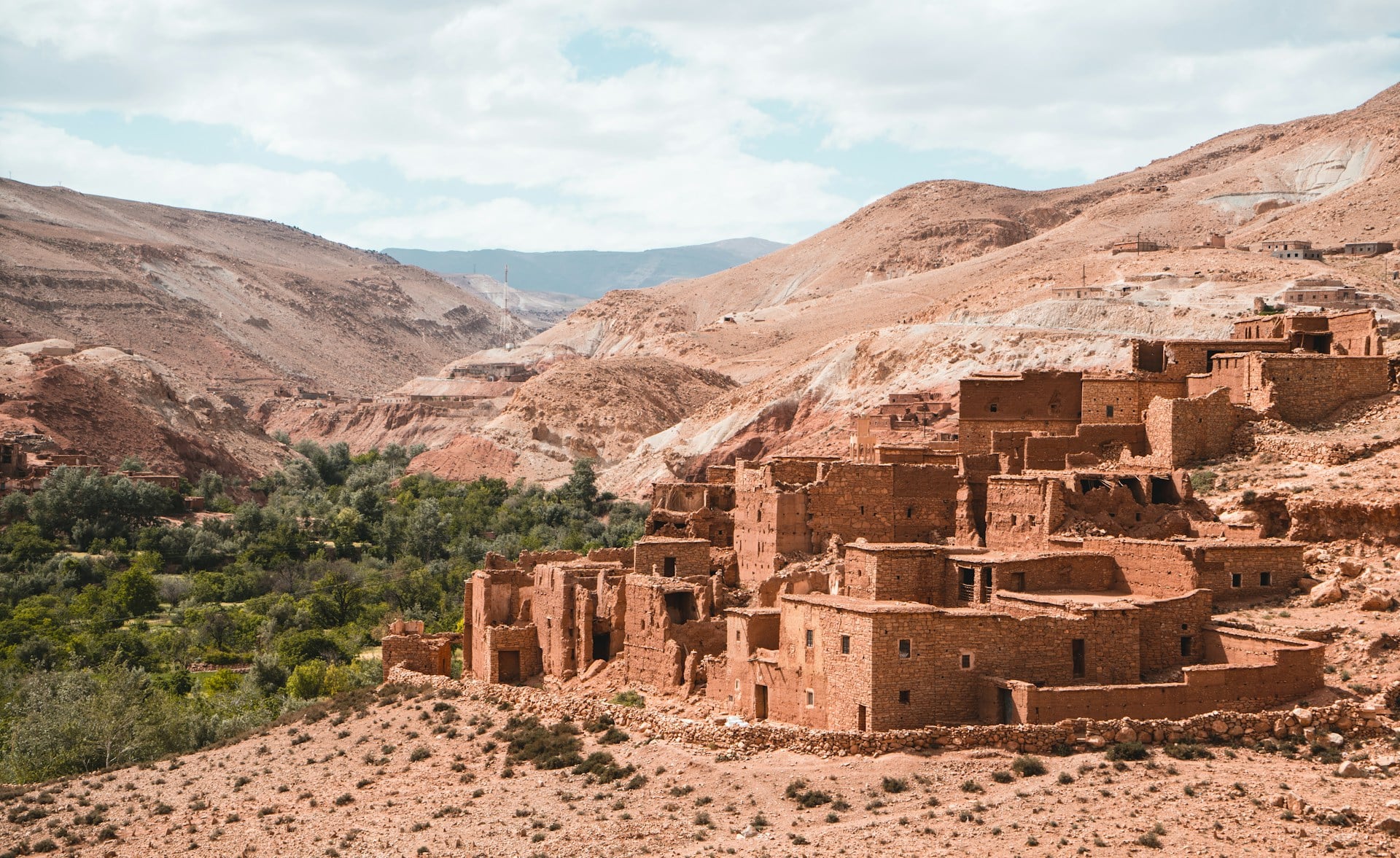
While ancient ruins crumble under the weight of time, weather, and human activity, a quiet revolution is taking place across archaeological sites worldwide.
Technologies once confined to science fiction are now standard tools for documenting, studying, and protecting humanity’s most fragile heritage sites.
From laser beams penetrating dense jungle canopies to underwater drones mapping submerged cities, modern innovation is creating an unprecedented digital safety net for our shared history.
Here’s a closer look at the technologies reshaping how we preserve what remains of ancient civilizations.
Laser Scanning Creates Digital Twins

Imagine capturing millions of data points every second, each one recording the exact position and color of a surface down to millimeter-level accuracy.
That’s what 3D laser scanning brings to heritage preservation.
The technology works like high-tech radar, sending out pulsed laser beams that bounce back when they hit surfaces.
The result is a dense ‘point cloud’—a constellation of digital coordinates that can be assembled into a perfect replica of the original structure.
The practical advantages are staggering.
Traditional documentation methods required teams of people spending weeks or months taking manual measurements, often with inconsistent results.
Laser scanners capture the same information in hours or days, without ever touching the fragile structures they’re recording.
When fire devastated Notre Dame Cathedral in Paris in 2019, the restoration team had a crucial advantage: detailed laser scans captured years earlier provided an exact blueprint for reconstruction.
The scans revealed architectural details that would have been nearly impossible to replicate from photographs or written records alone.
Organizations like CyArk have taken this mission global, racing against time to digitally preserve over 200 heritage sites before they succumb to war, natural disasters, or simple decay.
They’ve documented everything from Mount Rushmore to the ancient ruins of Pompeii, creating a digital archive that serves as insurance against the worst.
LiDAR Reveals Hidden Worlds
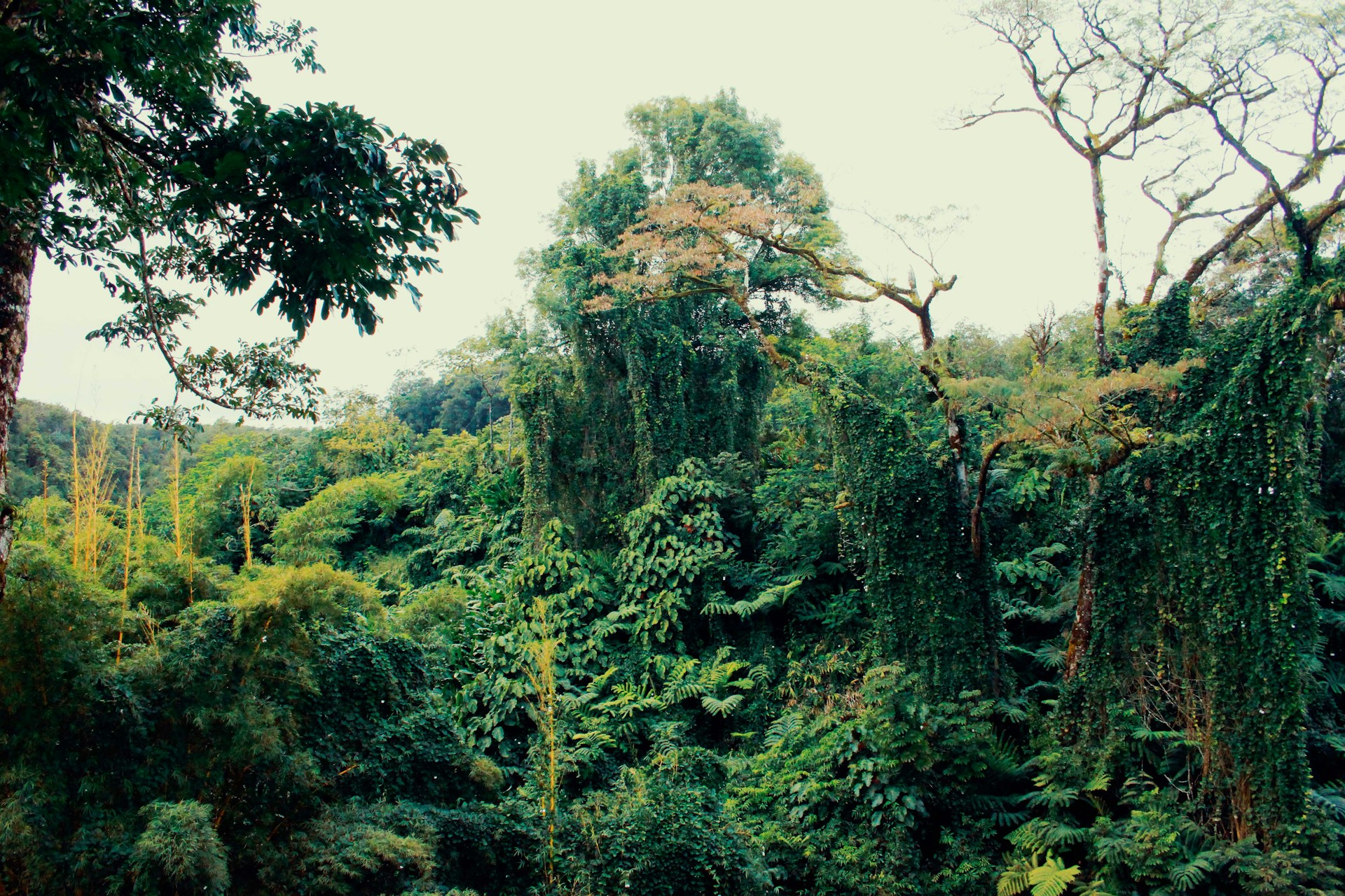
Light Detection and Ranging—LiDAR for short—takes laser scanning airborne and adds a superpower: the ability to see through dense vegetation.
Mounted on planes, helicopters, or drones, LiDAR systems fire rapid pulses of laser light downward, measuring how long each pulse takes to bounce back.
Advanced software then strips away the vegetation in the data, revealing the bare earth beneath and any structures hiding there.
The technology has triggered a string of jaw-dropping discoveries.
In 2024 and 2025, LiDAR-equipped drones uncovered more than 12 previously unknown structures around Machu Picchu in Peru, fundamentally changing archaeologists’ understanding of the site’s scale and purpose.
What once seemed like an isolated mountaintop retreat now appears to have been the hub of a far more extensive ceremonial complex.
Similar breakthroughs occurred in Guatemala, where researchers identified over 60,000 ancient Maya structures concealed beneath jungle canopy—a discovery that rewrote the estimated population size of Maya civilization.
LiDAR’s non-invasive nature makes it especially valuable for sites that can’t tolerate excavation.
Researchers can survey vast landscapes without disturbing the ground, identifying promising locations for future study while leaving the actual archaeological layers untouched.
The technology works equally well in diverse terrain, from dense rainforest to open desert, providing a consistent methodology that was impossible with earlier aerial photography techniques.
Photogrammetry Turns Cameras Into Measurement Tools
Sometimes the most powerful preservation technology is hiding in plain sight.
Photogrammetry converts ordinary photographs into precise 3D models by analyzing how objects appear from multiple angles.
Take enough overlapping photos of a structure, feed them into specialized software, and the program reconstructs a digital version complete with accurate measurements and photorealistic textures.
The beauty of photogrammetry lies in its accessibility.
While laser scanners remain expensive and require specialized training, photogrammetry can work with consumer-grade cameras or even smartphones.
Archaeologists have used the technique to document everything from individual pottery fragments to entire buildings.
The Arch-I-Scan project at the University of Leicester automated the identification and cataloging of pottery shards using photogrammetry and machine learning—work that previously consumed countless hours of expert time.
When combined with laser scanning, photogrammetry provides the best of both worlds.
Laser data captures geometry with mathematical precision, while photogrammetry adds rich color and texture information.
The hybrid approach has become standard practice for major preservation projects, where both structural accuracy and visual fidelity matter.
Drones Reach the Unreachable
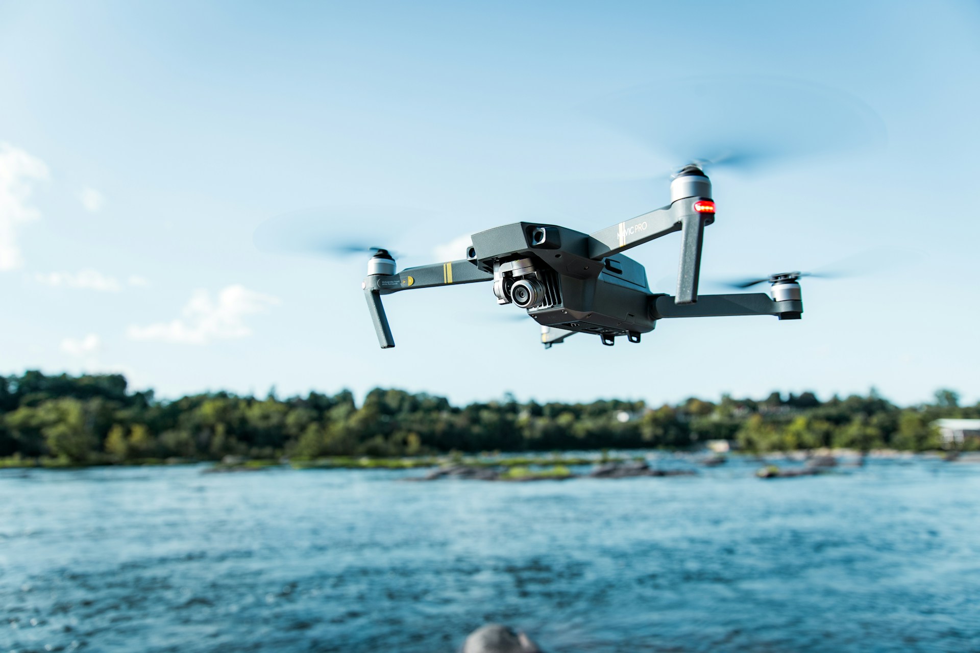
The drone revolution has fundamentally changed what’s possible in archaeological survey work.
These unmanned aerial vehicles can photograph sites from perspectives that would have required expensive helicopter flights or dangerous climbing just a decade ago.
Equipped with high-resolution cameras, thermal sensors, or even LiDAR systems, drones survey large areas in hours while archaeologists control them from the ground.
Their advantages extend beyond convenience.
Many archaeological sites occupy fragile terrain where repeated foot traffic causes measurable damage.
Drones gather data without disturbing the surface, preserving delicate features for future study.
They access locations too dangerous or remote for human researchers—cliff faces, dense swamps, or politically unstable regions.
During excavations, drones capture regular progress photos that document how the site evolved, creating a visual timeline more comprehensive than any written log.
The technology has proven particularly valuable for monitoring sites at risk from looting or natural erosion.
Regular drone flights reveal unauthorized digging or environmental damage early enough to take protective action.
In Jordan, archaeological teams use drones to document and safeguard Early Bronze Age sites along the Dead Sea Plain, combining aerial surveys with ground verification to protect vulnerable locations.
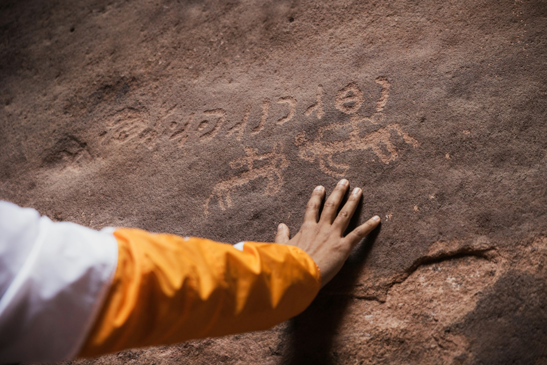
AI Reads Ancient Texts and Matches Fragments
Artificial intelligence has emerged as an unexpected ally in preservation work.
Machine learning algorithms now decipher damaged inscriptions, match pottery fragments, and predict where undiscovered sites might be hiding.
DeepMind’s Ithaca system uses deep learning to restore eroded text on ancient stone inscriptions, determine their likely origin, and estimate their age—tasks that previously required years of specialized expertise.
The RePAIR initiative in Italy demonstrated AI’s potential in physical restoration.
Robots equipped with computer vision carefully piece together fragmented artifacts from Pompeii, handling delicate materials too fragile for human touch.
The system learned to recognize shapes and patterns, matching thousands of pottery shards with a speed and consistency no human team could match.
Underwater sites benefit particularly from AI-enhanced systems.
In Baiae, a submerged Roman city off Italy’s coast, acoustic modems and sensors powered by AI adapt to changing sea conditions in real time.
The system monitors environmental factors that affect preservation—water temperature, chemical composition, volcanic CO2 emissions—while enabling divers to communicate and navigate underwater.
The data helps conservators understand how climate change is impacting submerged cultural heritage.
Mixed Reality Brings the Past Into the Present
Augmented and mixed reality technologies are transforming how researchers interact with archaeological data.
Instead of viewing 3D scans on flat computer screens, archaeologists now wear AR or MR headsets that overlay digital information onto the physical world.
A researcher at an excavation site can see buried structures rendered in 3D space, comparing the actual dig with scanned data from previous seasons.
Teams at the University of Hong Kong pioneered this approach, wearing headsets while actively excavating.
The technology lets them compare physical artifacts with 3D scans of similar objects housed in distant museums, facilitating analysis without requiring travel or risky artifact loans.
As excavation proceeds, the system updates in real time, maintaining a constantly current digital record of what lies beneath the surface.
For the public, virtual reality offers unprecedented access to heritage sites.
People anywhere in the world can take virtual tours of locations that might be physically inaccessible, damaged by conflict, or too fragile to handle visitor traffic.
The ‘Athens Reborn: Acropolis’ project uses VR to show ancient Greek architecture as it appeared in its prime, providing educational experiences that photographs or text descriptions could never match.
Digital Preservation Creates Insurance Against Loss

Perhaps the most profound contribution of modern technology isn’t any single device or technique, but the concept of creating comprehensive digital twins of heritage sites.
When the Buddhas of Bamiyan in Afghanistan were destroyed in 2001, the world lost irreplaceable sixth-century sculptures.
But because researchers had documented the statues with 3D scanning, digital reconstructions preserve knowledge of their form and details for future generations.
This digital insurance becomes more valuable as climate change, conflict, and urban development accelerate threats to archaeological sites.
Coastal erosion claims sites that survived thousands of years.
Wildfires sweep through landscapes dotted with ancient structures.
Wars target cultural heritage for destruction.
Each documented site represents knowledge preserved against uncertainty.
The archived data serves multiple purposes.
Researchers can study sites remotely, reducing physical impact on fragile locations.
Restoration projects start with exact blueprints rather than guesswork.
Educational institutions create immersive learning experiences without transporting priceless artifacts.
Perhaps most importantly, comprehensive documentation creates a detailed record of how sites appear now, providing baseline data for monitoring future changes caused by environmental or human factors.
Why This Revolution Matters Now
Technology hasn’t just made preservation easier—it’s made preservation possible at a scale and speed that matches the accelerating threats heritage sites face.
The combination of non-invasive documentation, remote access, and AI-enhanced analysis means that even modest research teams can accomplish what once required massive resources.
A student with a drone and photogrammetry software can create documentation that would have been impossible for major institutions a generation ago.
This democratization of preservation technology comes at a crucial moment.
The sites we lose in the next few decades are gone forever, along with the irreplaceable knowledge they contain about human civilization.
But every site documented, every fragment digitally preserved, every hidden structure revealed by LiDAR represents knowledge saved for future generations.
The technologies transforming preservation aren’t just recording the past—they’re ensuring that the past remains accessible even as the physical remnants inevitably fade.
What we preserve today in bits and bytes might be all that survives for our descendants to study.
More from Go2Tutors!

- The Romanov Crown Jewels and Their Tragic Fate
- 17 Halloween Costumes Once Considered Taboo
- Famous Hoaxes That Fooled the World for Years
- 15 Child Stars with Tragic Adult Lives
- 16 Famous Jewelry Pieces in History
Like Go2Tutors’s content? Follow us on MSN.