15 Bizarre Signals Found in Modern Satellite Imagery
The skies above tell stories most people never see. Every day, satellites capture millions of images of Earth’s surface, and buried within that endless stream of data are things that shouldn’t be there.
Strange patterns in the desert. Perfect circles where forests once stood.
Structures that appear overnight in places where nothing should exist.
Most satellite imagery gets processed by algorithms, sorted into databases, and filed away without human eyes ever examining it closely. But when researchers do take a careful look, they find things that challenge everything they thought they knew about what’s happening on our planet.
The Namibian Fairy Circles
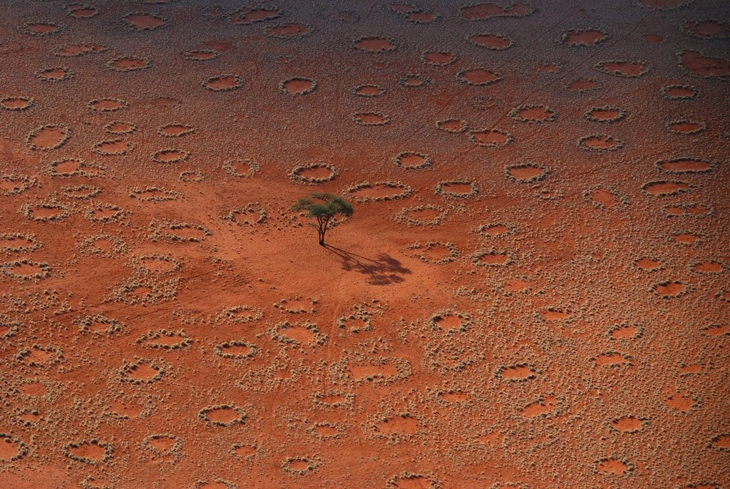
Perfect circles of barren earth dot the Namibian desert like polka dots on fabric. Each circle measures between 10 and 65 feet across, surrounded by a ring of grass that grows more vibrantly than anywhere else in the landscape.
Scientists have studied these formations for decades without reaching consensus.
The circles appear and disappear over periods lasting 20 to 75 years. They maintain their shape with mathematical precision that seems impossible in nature.
Antarctica’s Blood Falls
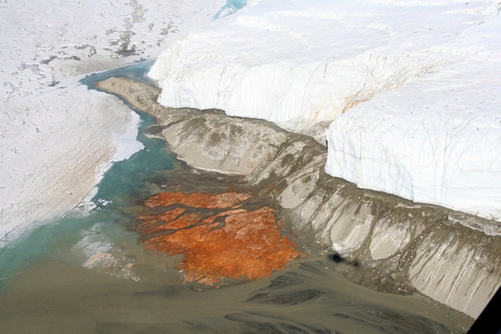
A five-story waterfall of red liquid pours from the Taylor Glacier in Antarctica’s McMurdo Dry Valleys. The crimson cascade stands out against the white ice like an open wound on the continent.
The color comes from iron oxide, but that’s where the simple explanations end. The water originates from a subglacial lake that’s been sealed beneath 1,300 feet of ice for over two million years.
The lake contains no oxygen and supports microbial life that scientists are still trying to understand.
Kazakhstan’s Geoglyphs
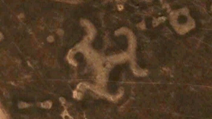
Giant earthworks stretch across the steppes of Kazakhstan, visible only from space. The Stegosaurus, the Swastika, the Cross — each formation spans several hundred feet and was created by moving massive amounts of soil into precise geometric patterns.
These aren’t ancient monuments (though they were initially thought to be older constructions that archaeologists had somehow missed). Most were built within the past century, yet no one knows who made them or why.
Local residents claim no knowledge of their creation, and no government agency takes credit for commissioning them. And yet there they are, carved into the earth with surveyor-level precision, serving no apparent function except to be seen from above by satellites that didn’t exist when many were constructed.
So someone spent enormous amounts of time and resources creating messages for an audience that couldn’t receive them yet. The planning required suggests either remarkable foresight or knowledge of satellite technology that wasn’t supposed to exist at the time.
China’s Desert Mysteries
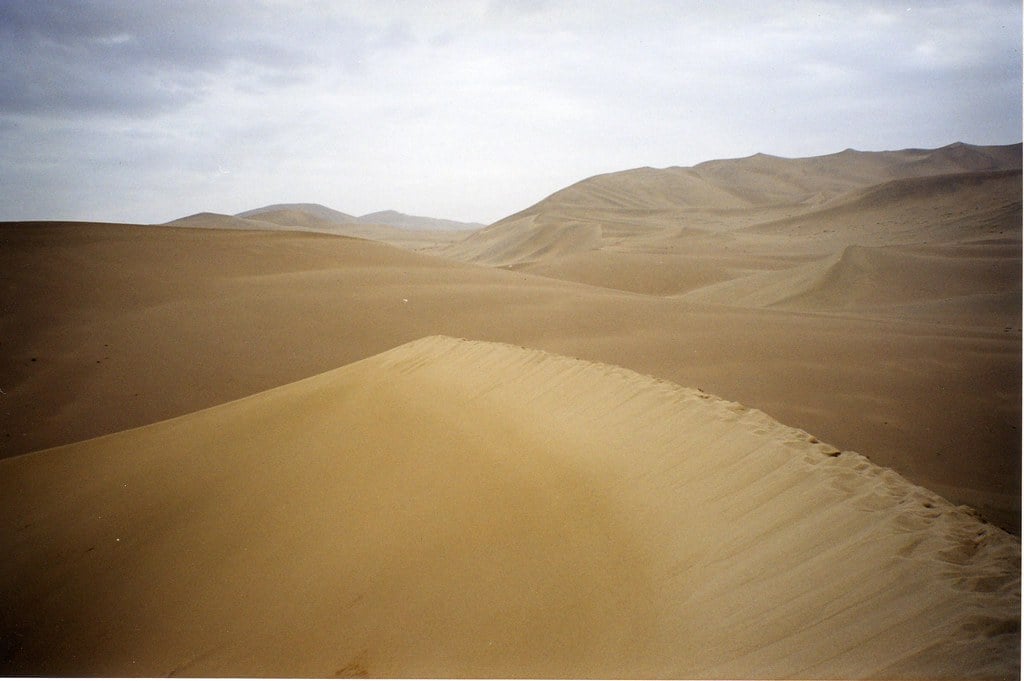
Massive geometric patterns appear throughout China’s Gobi Desert, each one covering several square miles. Grids of white lines form perfect rectangles across the sand.
Circular patterns radiate outward like ripples on a pond frozen in time.
The Chinese government offers no explanation for these formations. Military analysts suggest they might be calibration targets for spy satellites or weapons testing ranges, but the patterns are too large and too numerous for such purposes to make practical sense.
What unsettles observers isn’t just their size or precision — it’s their beauty. These aren’t utilitarian military installations.
Someone designed them with an aesthetic sensibility, as if they were meant to be appreciated from space.
Australia’s Marree Man
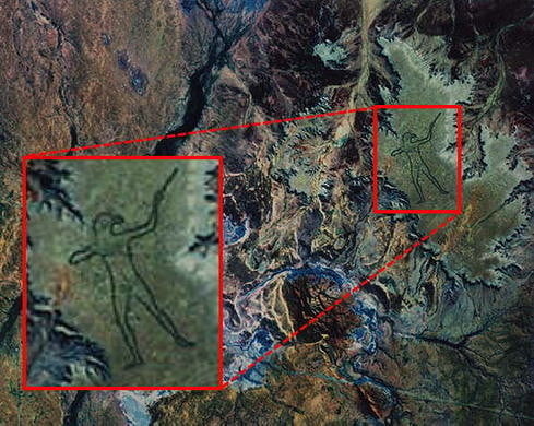
A figure of an Aboriginal hunter stretches across the South Australian outback, measuring over 2.5 miles from head to toe. The Marree Man appeared overnight in 1998, carved into the earth with such precision that every finger and facial feature remains clearly visible from satellite altitude.
The artist eventually came forward and claimed responsibility for the work. At the time of its creation, however, no one reported seeing the construction or knew who created it.
Creating the figure would have required heavy machinery, careful surveying, and weeks of work in a remote location where any activity should have been noticed.
The figure began fading within a few years as wind and weather erased the shallow grooves. Someone spent enormous effort creating something designed to disappear.
Russia’s Radioactive Forest
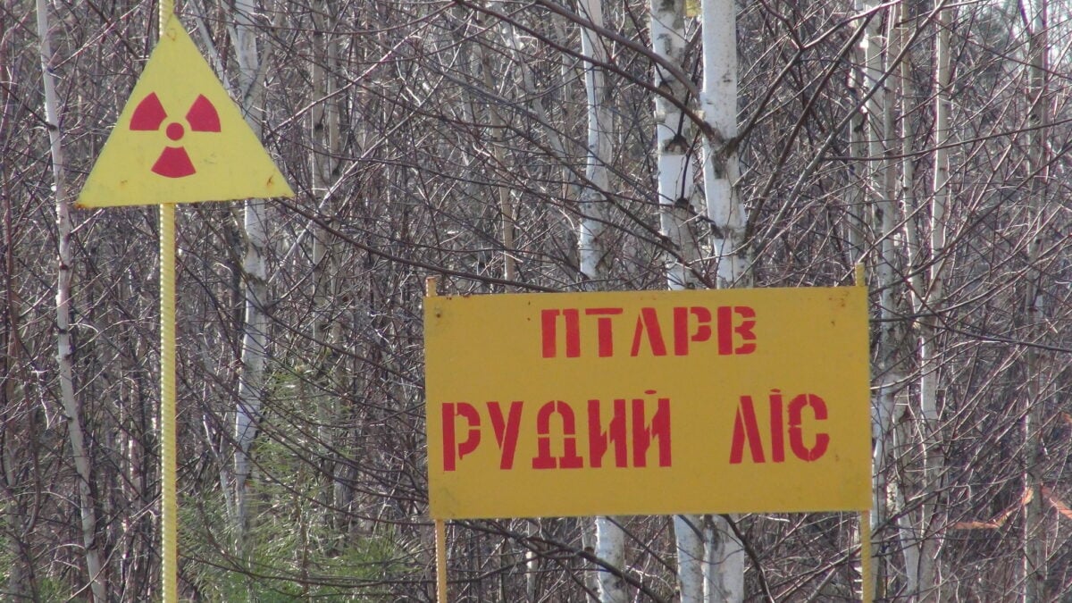
The Red Forest near Chernobyl glows in satellite thermal imagery decades after the nuclear disaster. Trees in a four-square-mile area absorbed so much radiation that their leaves turned red before the plants died, giving the region its name.
What makes this forest bizarre isn’t the radiation itself — it’s what happened next. The dead trees never decayed.
Fungi and bacteria that normally break down organic matter can’t survive the radiation levels, so fallen logs and leaf litter remain exactly as they were in 1986. It’s a forest frozen in time, visible from space as a dead zone that refuses to complete the cycle of death and rebirth that defines nature.
The Eye of the Sahara
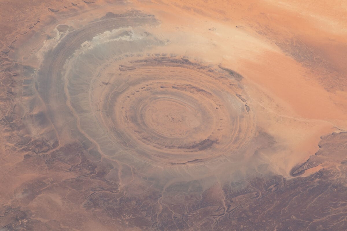
A perfect bullseye formation dominates the Mauritanian desert, stretching 25 miles across. The Richat Structure consists of concentric circles of different colored rock, creating a pattern so regular that early astronauts used it as a landmark for navigation.
Geologists initially thought it was an impact crater from a massive meteorite. Then they theorized it might be the remnant of an ancient volcano.
Current thinking (and it’s still largely theoretical, which is remarkable for something so visible and so large) suggests it’s a geological dome that was exposed when softer rock eroded away over millions of years.
But theories don’t explain why the circles are so perfectly round or why the different rock layers create such distinct color contrasts. Nature rarely produces patterns this regular without some organizing force that scientists haven’t identified.
North Korea’s Propaganda Villages
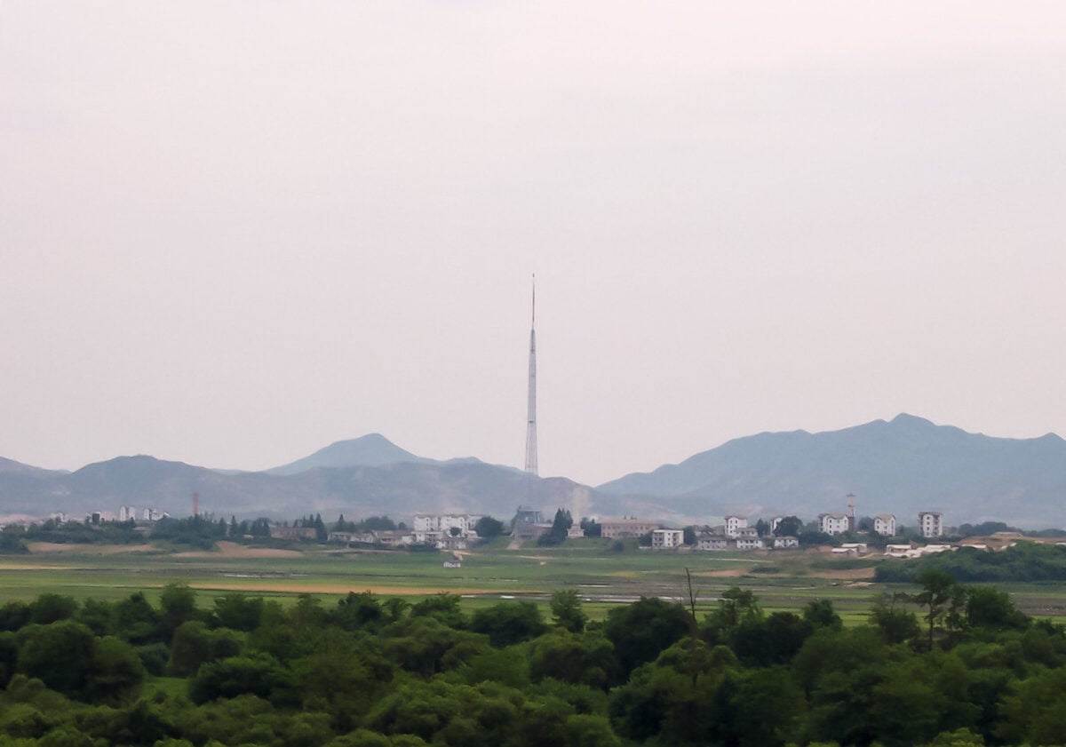
Entire towns exist along the North Korean border for the sole purpose of being seen. Kijong-dong, also known as Peace Village, features rows of colorful apartment buildings, wide boulevards, and a prominent flagpole visible from South Korea.
Satellite imagery reveals the truth: the buildings are empty shells.
No glass fills the window frames. No people walk the streets.
Electric timers turn lights on and off to simulate occupancy, but the patterns repeat with mechanical precision that gives away the facade.
The village serves no function except to be observed, like a movie set built for an audience of satellites and border guards.
Mexico’s Spiral Jetty Desert Twin
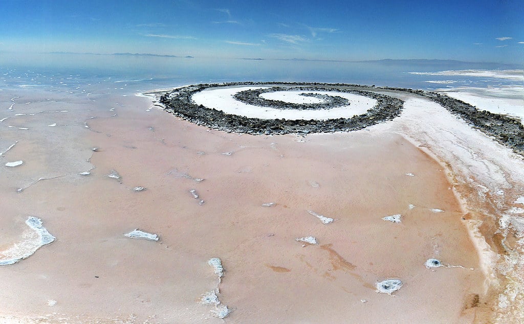
A massive spiral pattern carved into the desert floor of Baja California mirrors Robert Smithson’s famous Spiral Jetty artwork in Utah’s Great Salt Lake, but this earthwork appeared without any artist claiming credit for its creation.
The spiral measures over 1,000 feet across and required moving thousands of tons of rock and soil. Creating it would have involved heavy machinery, surveying equipment, and considerable expense.
Yet no environmental impact studies were filed, no permits were issued, and no construction crews reported working on such a project.
The Baltic Sea Anomaly
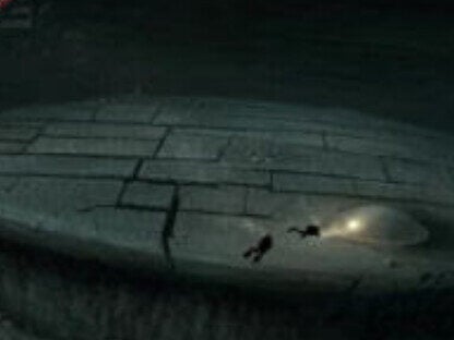
A circular formation on the Baltic Sea floor appears in sonar imagery as a perfectly round disc, 200 feet in diameter, with what looks like a ramp or stairway leading up to it. The object sits in 300 feet of water between Sweden and Finland.
Divers who have visited the site report that electronic equipment malfunctions when they get close to the formation. The object appears to be made of metal, but samples brought to the surface don’t match any known alloys.
Geological surveys confirm it’s not a natural rock formation.
China’s Aircraft Carrier Targets
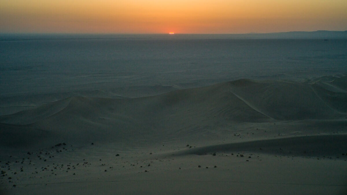
Full-scale outlines of American aircraft carriers are painted on runways in China’s western deserts. The mock-ups include accurate details of flight decks, elevators, and superstructures based on U.S. Navy ships.
These aren’t hidden military secrets — they’re clearly visible to any commercial satellite service. China makes no attempt to conceal them, which raises questions about their actual purpose.
If they’re genuinely for weapons testing, why make them so obvious? If they’re not for weapons testing, what are they for?
The targets suggest a level of military planning that goes beyond defensive preparations into territory that makes defense analysts uncomfortable.
Scotland’s Loch Ness Thermal Anomaly
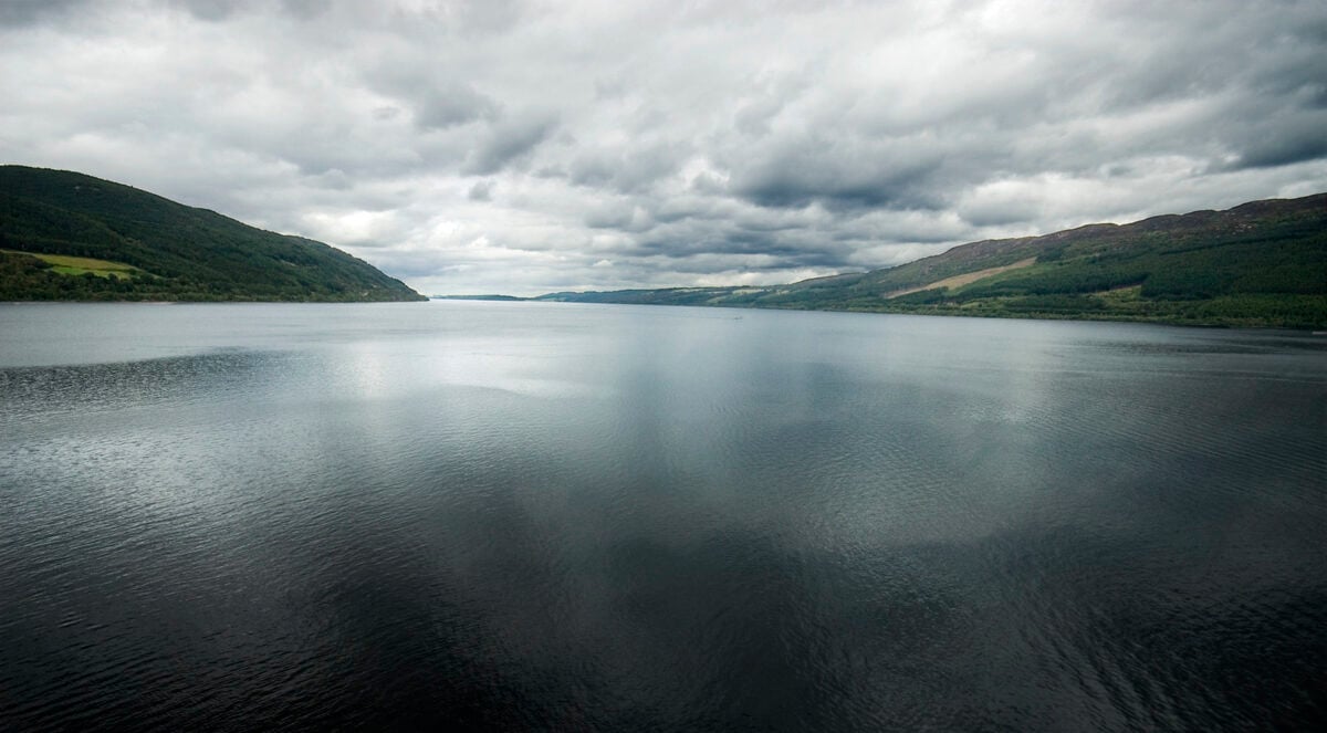
Thermal satellite imagery of Loch Ness consistently shows warm water patterns that don’t match the lake’s known geology or hydrology. Long, serpentine heat signatures appear in deep water, sometimes measuring over 100 feet in length.
These aren’t tourist boats or known underwater features. The patterns appear in areas where the loch reaches depths of over 700 feet, far below where surface activity would register on thermal sensors.
The heat signatures move position between satellite passes, following no predictable pattern that would suggest natural water currents or geological features.
Greenland’s Perfect Rectangle
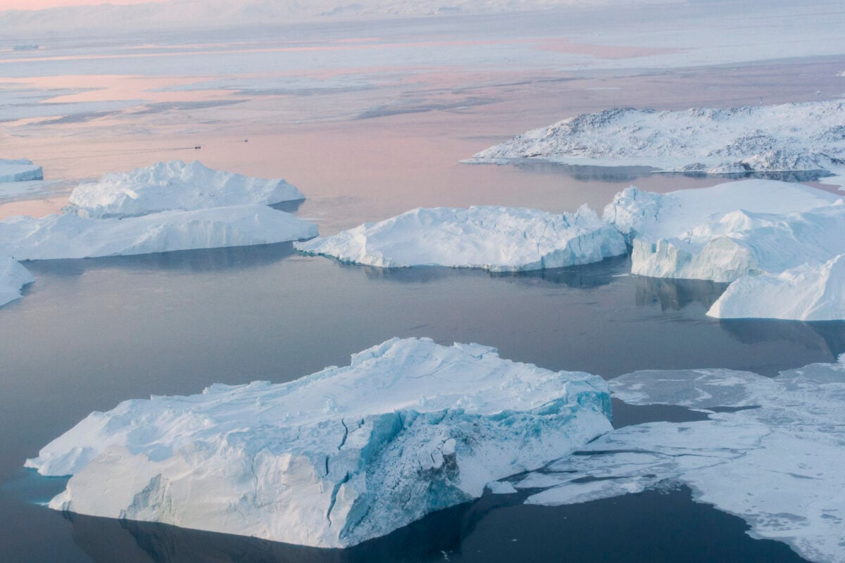
A rectangular opening in Greenland’s ice sheet appeared in satellite imagery in 2018, with edges so straight and angles so precise that it looked like someone had used a ruler to cut through the ice. The opening measured roughly 1,000 feet by 1,500 feet.
Glaciologists struggled to explain how natural processes could create such geometric precision. Ice sheets crack and melt in irregular patterns determined by stress, temperature, and underlying terrain.
They don’t form perfect rectangles with sharp corners.
The opening disappeared within months as ice flowed back together, but not before raising questions about whether something beneath the ice had pushed upward with enough force to break through.
Japan’s Underwater Pyramids
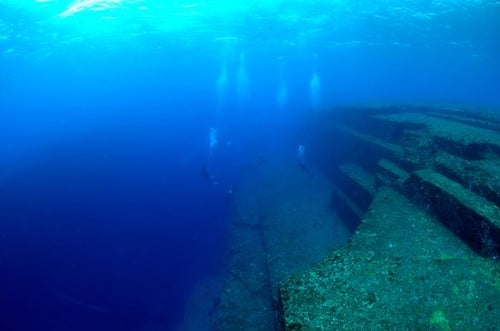
Stepped pyramid structures rest on the sea floor off the coast of Yonaguni Island, clearly visible in underwater satellite and sonar imagery. The formations feature straight edges, right angles, and what appear to be steps carved with precision that suggests artificial construction.
The structures lie in 100 feet of water, at depths that would have been dry land during the last ice age. If they’re artificial, they predate known advanced civilizations in the region by thousands of years.
If they’re natural rock formations, they represent geological processes that create architectural patterns no one has previously documented.
The Persian Gulf Glass Desert
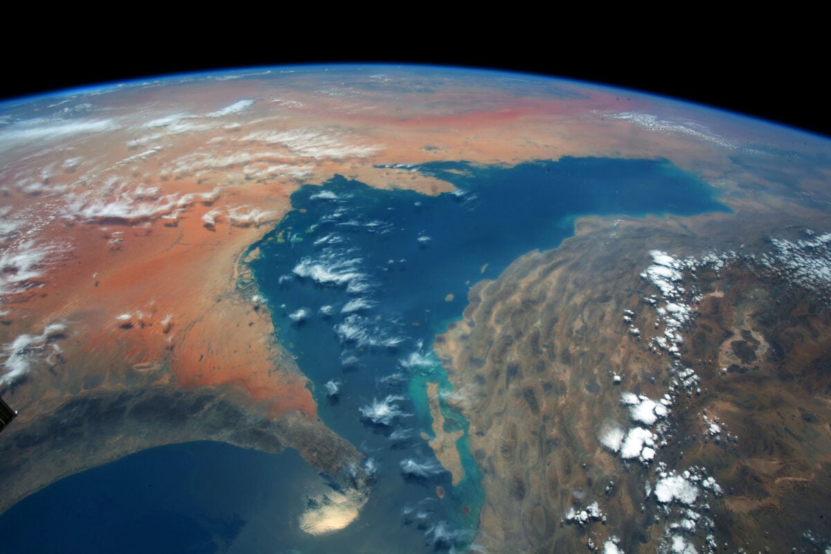
Satellite imagery reveals vast areas of the Arabian Peninsula covered in what appears to be green glass, creating geometric patterns visible from space. The formations stretch for miles in perfectly straight lines and sharp angles that don’t match natural sand dune patterns.
The glass formed when intense heat — far beyond what natural desert conditions produce — fused sand into a crystalline structure. Nuclear testing can create similar effects, but no nuclear tests are known to have occurred in these locations.
Lightning strikes can create glass, but not in such regular patterns across such vast areas.
The formations suggest temperatures and energy sources that exceed anything known to exist naturally in the region.
When the Sky Sees Everything
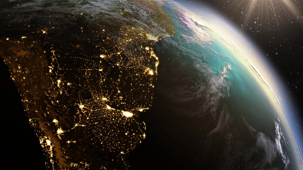
Satellite imagery captures more than governments and scientists ever intended to reveal. Every day, cameras in orbit record changes to Earth’s surface that challenge assumptions about what’s possible, what’s natural, and what’s being hidden in plain sight.
These bizarre signals remind us that the planet still holds mysteries, even in an age when every square inch can be photographed from space. Perhaps especially then.
The higher we look, the more clearly we see how much we don’t understand about what’s happening right beneath our feet.
More from Go2Tutors!

- The Romanov Crown Jewels and Their Tragic Fate
- 13 Historical Mysteries That Science Still Can’t Solve
- Famous Hoaxes That Fooled the World for Years
- 15 Child Stars with Tragic Adult Lives
- 16 Famous Jewelry Pieces in History
Like Go2Tutors’s content? Follow us on MSN.