15 legendary explorers who mapped the world

Throughout history, brave individuals have ventured into unknown territories, returning with knowledge that literally put new lands on the map. These explorers didn't just discover places—they carefully documented coastlines, measured distances, and created the first accurate representations of our planet's geography. Their work transformed blank spaces marked 'here be dragons' into detailed charts that guided future generations.
Here is a list of 15 legendary explorers whose mapping achievements fundamentally changed how we understand our world.
Marco Polo

The Venetian merchant Marco Polo traveled the Silk Road to China between 1271 and 1295, spending 17 years in the court of Kublai Khan. His detailed accounts of Asian geography, cities, and trade routes provided Europeans with their first comprehensive understanding of the Far East. Polo's descriptions were so accurate that cartographers used them for centuries, including Fra Mauro who relied heavily on Polo's work for his famous 1459 world map.
Christopher Columbus

Columbus made four voyages to the Americas between 1492 and 1504, mapping numerous Caribbean islands and sections of the Central and South American coasts. His meticulous logs recorded wind patterns, ocean currents, and magnetic compass variations that proved invaluable for future navigators. Though he mistakenly believed he'd reached Asia, Columbus's charts of the Caribbean became the foundation for Spanish colonial expansion in the New World.
Amerigo Vespucci

This Italian navigator conducted multiple expeditions to South America between 1499 and 1504, carefully mapping the Brazilian coast and the mouth of the Amazon River. Vespucci was the first to recognize that these lands were part of a separate continent, not the eastern edge of Asia as Columbus had believed. His detailed letters describing the 'New World' were so influential that German cartographer Martin Waldseemüller named the entire continent 'America' in his honor.
Ferdinand Magellan
Portuguese explorer Magellan led the first expedition to circumnavigate the globe, meticulously charting the treacherous strait at the southern tip of South America that now bears his name. His crew mapped the vast Pacific Ocean, revealing its true size for the first time in European understanding. Though Magellan died in the Philippines, his expedition's completion proved the Earth was round and provided accurate measurements of the planet's circumference.
James Cook
Captain Cook conducted three Pacific voyages between 1768 and 1779, producing maps of extraordinary accuracy that remained the standard for over a century. He circumnavigated and mapped New Zealand with such precision that his charts were still used by sailors 200 years later. Cook also mapped the eastern coast of Australia, Hawaii, and much of the Pacific Northwest, filling in huge blank areas on world maps and disproving the existence of the mythical southern continent Terra Australis.
Juan Sebastián Elcano
After Magellan's death, Basque navigator Elcano took command of the expedition and successfully completed the first circumnavigation of the globe in 1522. He carefully documented the return journey across the Indian Ocean and around Africa, proving that the Earth could be navigated entirely by sea. Elcano's charts of the Moluccas (Spice Islands) were particularly valuable, as they helped establish Spanish claims to these lucrative trading regions.
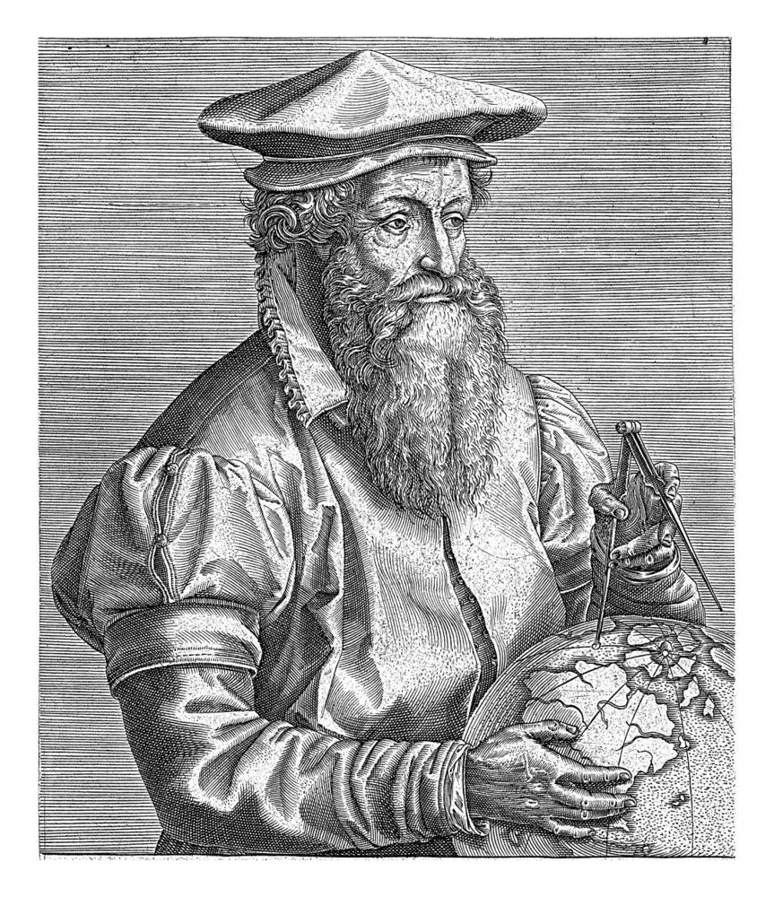
Gerardus Mercator

This Flemish cartographer revolutionized navigation in 1569 by creating the Mercator projection, a map system that showed constant compass bearings as straight lines. His innovation solved the major problem facing ocean navigators: how to plot a course across a curved Earth on a flat map. Mercator's projection became the standard for nautical charts and remains widely used today, making him one of history's most influential mapmakers.
Henry Hudson

English navigator Hudson made four attempts between 1607 and 1611 to find a northern passage to Asia, mapping vast areas of the Arctic that had never been charted. He explored and mapped the Hudson River, Hudson Bay, and Hudson Strait, creating detailed charts of these waterways that opened them to future trade. Hudson's maps of the Hudson River were particularly important, as they showed New York Harbor and the river valley that would become crucial to American commerce.
Vasco da Gama
Portuguese explorer da Gama pioneered the sea route from Europe to India, carefully mapping the African coast during his groundbreaking 1497-1499 voyage. He charted previously unknown sections of the East African coastline, including detailed maps of harbors and landmarks from Mozambique to Malindi. Da Gama's navigational charts opened the Indian Ocean to European trade and remained the primary source for mariners sailing to Asia for generations.
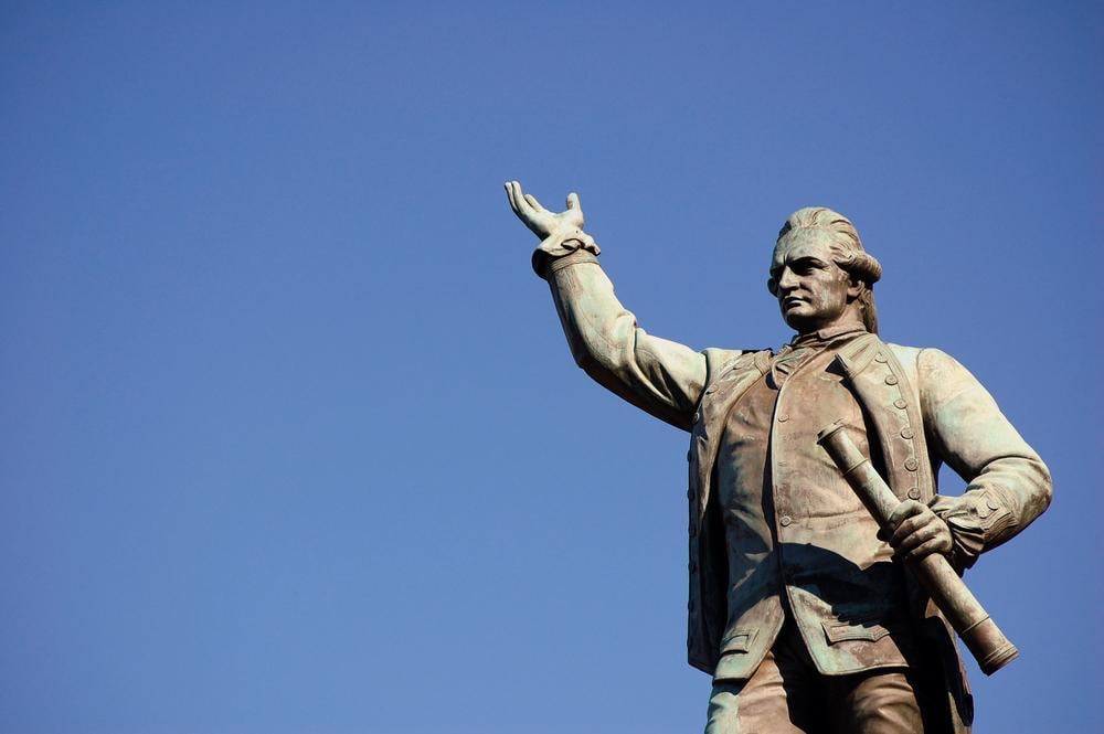
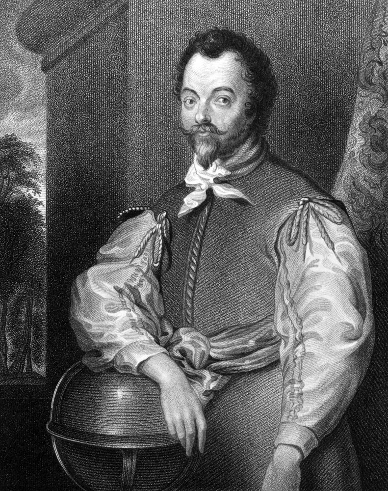
Francis Drake

This English sea captain became the second person to circumnavigate the globe between 1577 and 1580, producing detailed maps of the Pacific coast of the Americas. Drake carefully charted the coastlines of Chile, Peru, and California, creating the first accurate English maps of these regions. His charts were so valuable that Queen Elizabeth I kept them as state secrets for years, giving England a strategic advantage in planning future expeditions to the Pacific.
Jacques Cartier

The French explorer made three voyages to North America between 1534 and 1542, creating the first detailed maps of the St. Lawrence River and the Gulf of St. Lawrence. Cartier's charts showed the river's course far inland, proving it wasn't just a coastal inlet but a major waterway leading into the continent's interior. His maps became the foundation for French claims to Canada and guided future French explorers deeper into North America.
David Livingstone
Scottish missionary and explorer Livingstone spent over 30 years mapping the interior of Africa, filling in vast blank spaces on European maps of the continent. He charted the course of the Zambezi River and was the first European to map Victoria Falls, providing detailed measurements and descriptions. Livingstone's maps of central Africa's river systems and lakes were so accurate they remained the standard references for African exploration well into the 20th century.
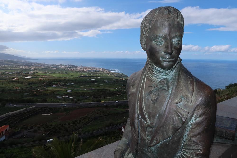
Alexander von Humboldt
This German naturalist conducted a five-year expedition through South and Central America from 1799 to 1804, creating incredibly detailed maps that combined geography with scientific data. Humboldt mapped the Orinoco River system, showing its connection to the Amazon basin, and created the first accurate maps of the northern Andes Mountains. His innovative approach combined topographical mapping with measurements of climate, vegetation, and geology, essentially creating the first scientific maps of the regions he explored.
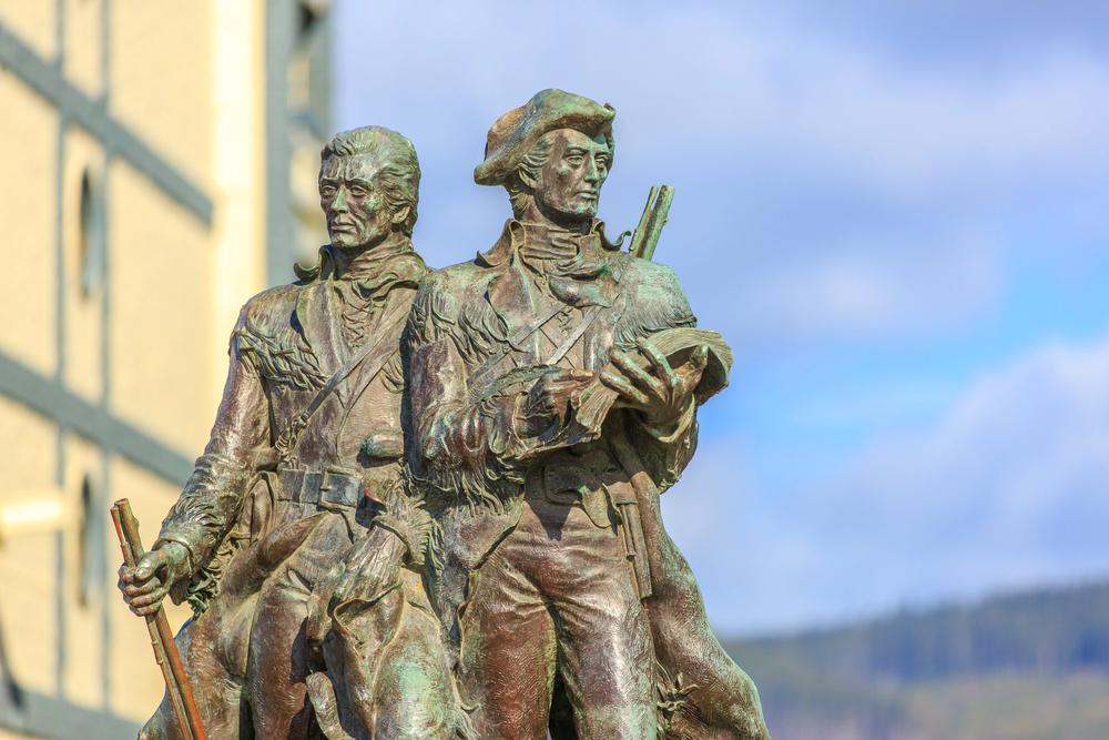
Meriwether Lewis and William Clark
These American explorers led the Corps of Discovery from 1804 to 1806, mapping the uncharted western territories of North America from the Missouri River to the Pacific Ocean. They created detailed maps showing the true course of the Missouri River, the existence of the Rocky Mountains, and viable routes to the Pacific coast. Their maps proved there was no easy water route across the continent but showed the best overland paths, which became crucial for western expansion and the Oregon Trail.
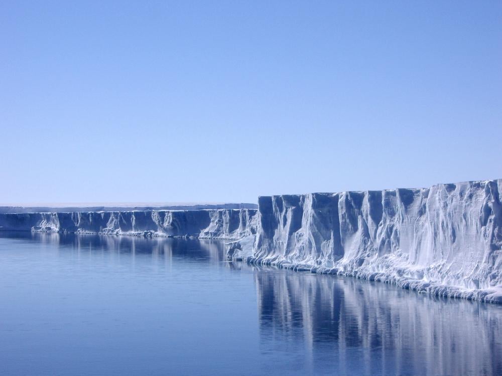
Roald Amundsen
The Norwegian polar explorer was the first to successfully navigate the Northwest Passage from 1903 to 1906, creating detailed charts of the Arctic waterways that had eluded explorers for centuries. Amundsen's maps showed the complex network of islands and channels in the Canadian Arctic, providing the first accurate charts of this treacherous region. His later Antarctic expedition mapped new sections of the continent's coastline, and his precise navigation techniques set new standards for polar exploration.
More from Go2Tutors!

- 16 Historical Figures Who Were Nothing Like You Think
- 12 Things Sold in the 80s That Are Now Illegal
- 15 VHS Tapes That Could Be Worth Thousands
Like Go2Tutors’ content? Follow us on MSN.