29 Places Where Two Countries Meet in the Strangest Ways Possible
Borders are supposed to be lines. Precise, clear, dividing one sovereign nation from another without ambiguity.
Real borders, drawn by actual people making actual decisions, frequently ignore this basic requirement. They split buildings, wander through forests in complete spirals, separate neighbors from neighbors, and occasionally include territory nobody wants so badly that two countries agreed to leave it absolutely empty.
These borders exist because history made messy decisions and geography refused to cooperate. The result is places where you can stand with one foot in two nations, eat breakfast in one country and dinner in another three steps away, or live in a building where your kitchen and bedroom are officially citizens of different states.
What follows are borders that defy the simple line-on-a-map version most of us learned in school. Each one tells a story of colonialism, negotiation, mistake, or stubbornness.
Each one makes the concept of “international boundary” somehow more complicated and infinitely more strange than we assumed.
Hotel Arbez (France-Switzerland Border)
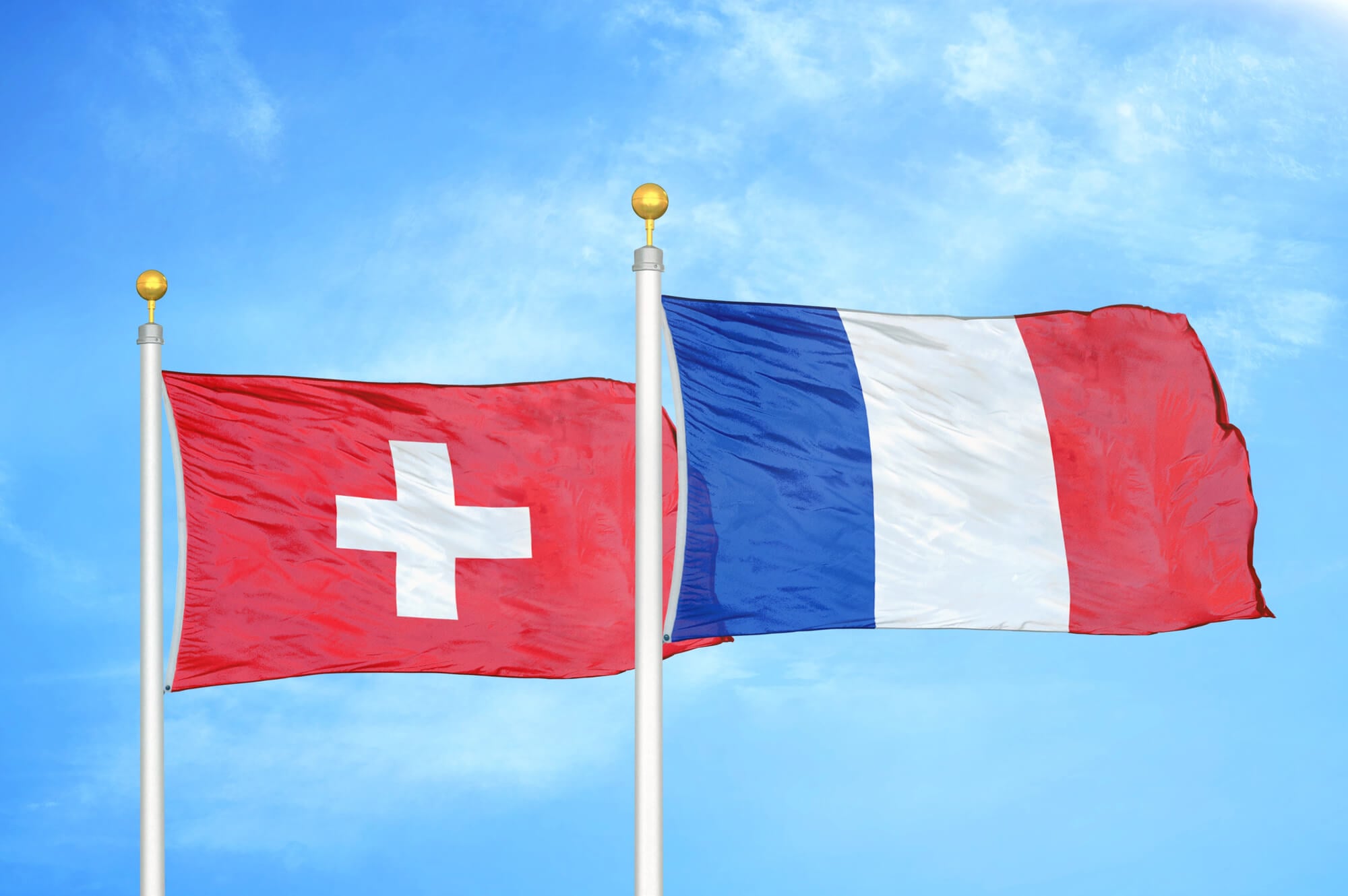
The border runs straight through this hotel in Les Rousses, Switzerland. The bar is technically in France; the honeymoon suite is split between countries.
Guests can literally sleep with one half of the bed in each nation. The hotel was built before the border was formalized, and nobody thought to move it.
Baarle-Hertog/Baarle-Nassau (Belgium-Netherlands Border)
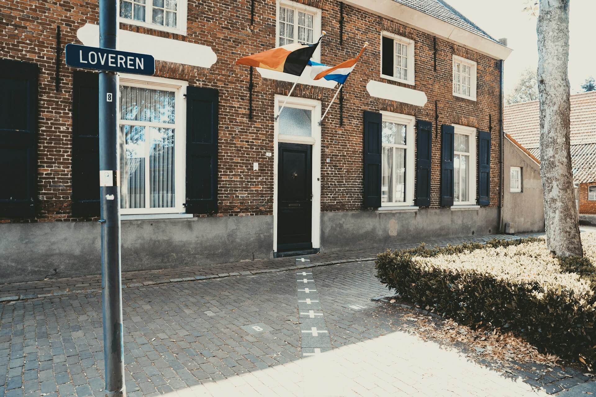
This town is divided into Belgian and Dutch sections with such precision that some houses have numbers in both countries. The border runs through living rooms and gardens.
The boundary is so complicated that the town has borders within borders, creating enclaves and exclaves that make the map look like someone’s jigsaw puzzle exploded.
Canusa Avenue (USA-Canada Border)
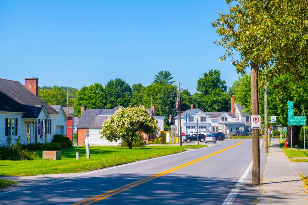
The town of Derby Line, Vermont and Stanstead, Quebec function as one community, separated only by a street. The border goes down the middle of Canusa Avenue.
One side is Vermont; the other is Quebec. Businesses straddle the line, and nobody knows why it was drawn there.
Some attribute it to a 1700s mapmaking error that stuck.
Pheasant Island (France-Spain Border)
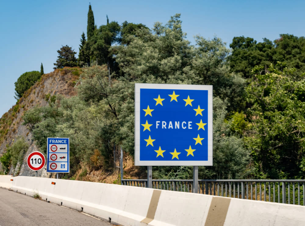
Tiny Île des Faisans sits in the Bidasoa River between France and Spain. It’s the world’s oldest condominium—governed by both nations simultaneously, but they don’t share it equally.
Ownership alternates: France controls it for six months, then Spain takes over for six months. The rotation happens annually whether anyone’s paying attention or not.
Driving to the Arctic Circle (Finland-Sweden Border)
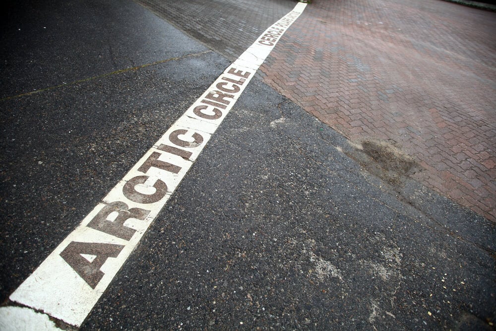
In Finnish Lapland, you can drive across the Arctic Circle border multiple times on the same road without realizing it. The landscape looks identical on both sides, and the boundary is marked only by a simple sign.
You cross from one country to the other without ceremony or gates.
The Gambia (Completely Surrounded by Senegal)
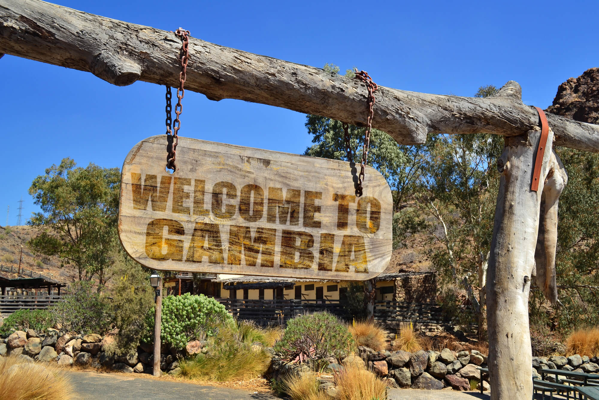
Senegal literally encloses The Gambia on three sides. The Gambia is essentially a river with borders, created because the British wanted control of a water route and drew a line accordingly.
It’s a country within a country, created by colonial mapmaking at its most aggressive.
Namibia’s Caprivi Strip (Panhandle Border)
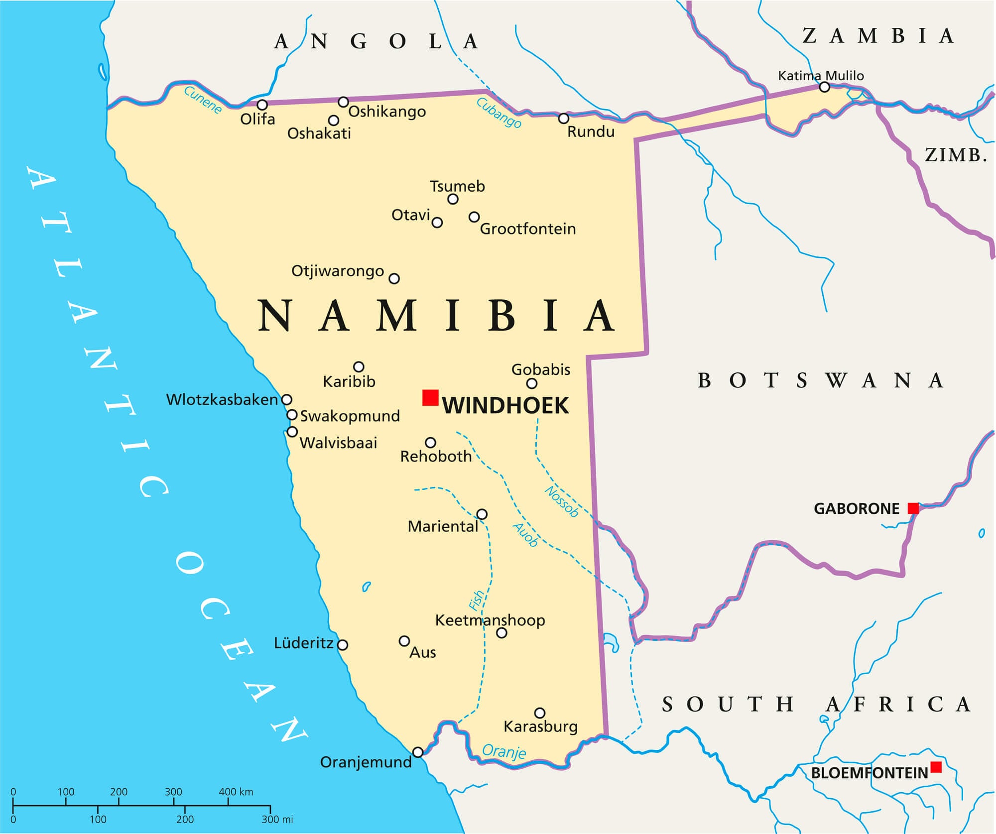
This 450-kilometer strip of land extends from Namibia into central Africa like a handle, created because Germany wanted access to the Zambezi River. It sticks out absurdly, dividing Angola and Zambia, creating a geographic joke that nobody could explain until they understood 19th-century colonial ambitions.
Bir Tawil (Egypt-Sudan Border)
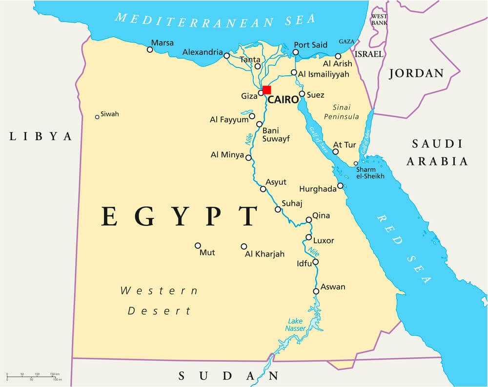
This stretch of desert is claimed by neither country. Egypt wants the more valuable Halaib Triangle nearby, so Egypt refuses to claim Bir Tawil.
Sudan also refuses to claim it. The result is a piece of land that literally belongs to no country.
A few people have planted flags claiming it; nobody recognizes these claims.
Straight-Line Borders of North Africa
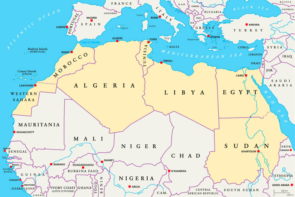
Where Egypt, Sudan, and Libya meet, the borders are perfectly straight lines drawn at exact degrees of latitude and longitude. Someone literally used a protractor on the map.
The borders ignore every geographic feature and cultural boundary, creating boundaries that exist purely in theory and paperwork.
The India-Bangladesh Tripoint Enclaves (Historical)
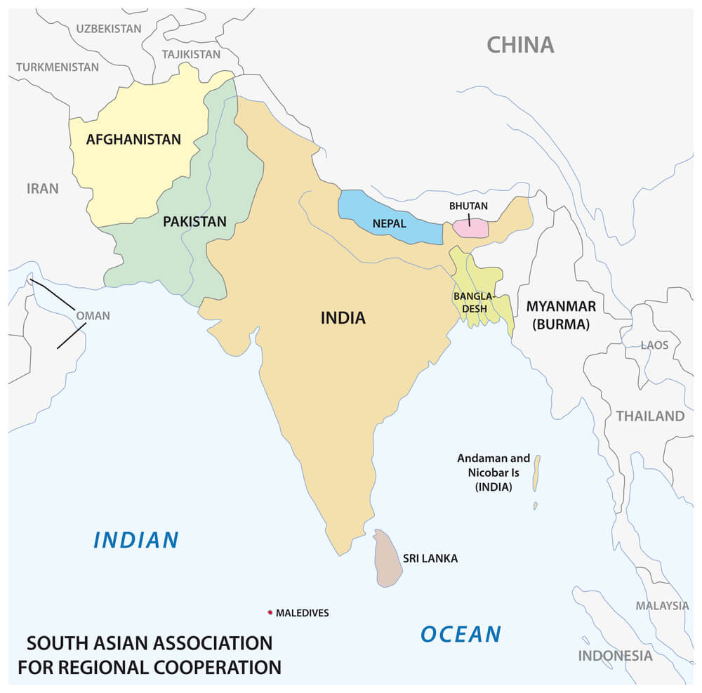
Until 2015, the India-Bangladesh border included the world’s only third-order enclave: a piece of India inside Bangladesh inside India inside Bangladesh. This created territories barely larger than neighborhoods that technically belonged to three different areas, with unclear sovereignty.
The recursive nature of the enclaves made governance almost impossible.
Mount Roraima (Venezuela-Brazil-Guyana Border)
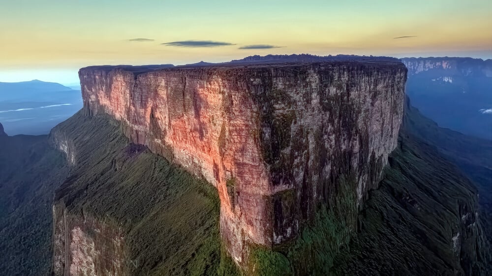
This 9,220-foot sandstone cliff mountain looks like a boss fight from a video game. It’s a tepui—a massive flat-topped mountain—that sits exactly where Venezuela, Brazil, and Guyana meet.
The sheer cliffs make it nearly impossible to traverse or define the exact border, leaving the tripoint genuinely ambiguous on the ground.
Drielandenpunt (Netherlands-Belgium-Germany Border)
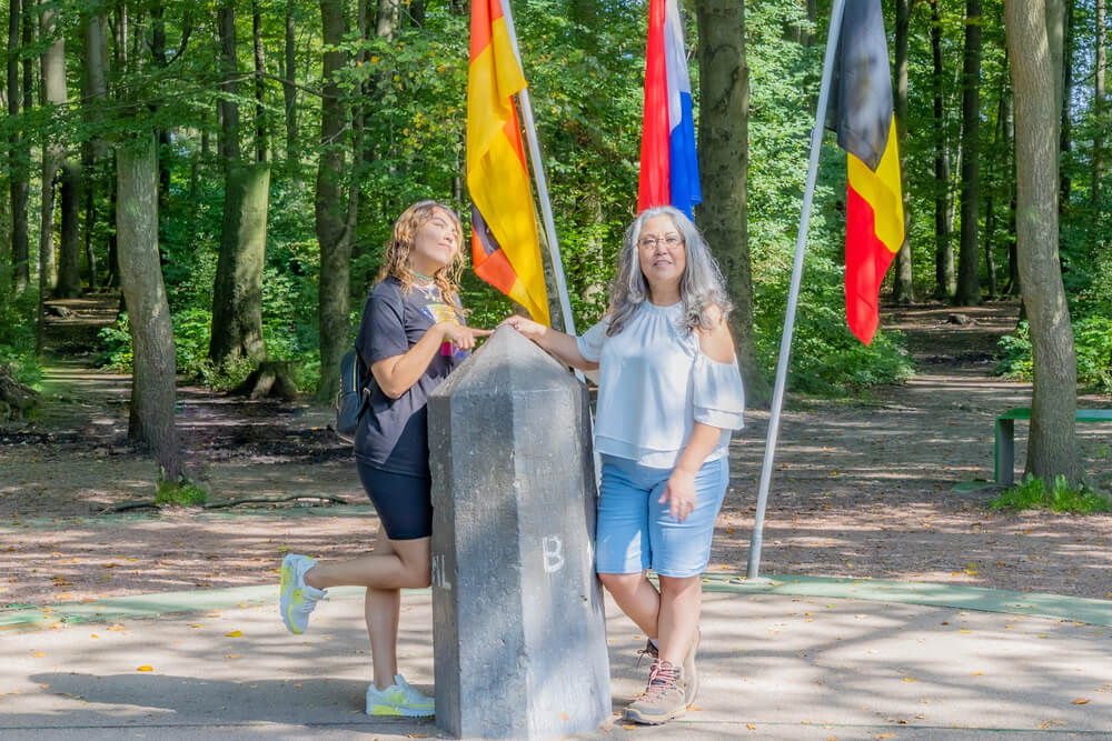
Three countries meet at a single point marked by Europe’s largest shrub maze, designed with 17,000 hornbeam plants. The maze was built specifically so visitors could stand in all three countries simultaneously.
A gazebo sits at the exact tripoint, making it one of the few international borders designed as a tourist attraction.
Little Diomede and Big Diomede Islands (USA-Russia Border)
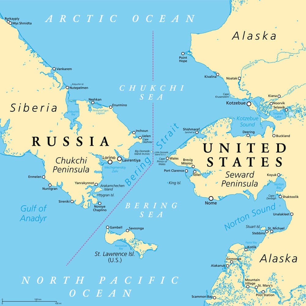
These two islands sit less than 2.5 miles apart across the International Date Line. Standing on the American island, you’re looking at tomorrow when you look across the water.
During the Cold War, this was called the “Ice Curtain,” where two superpowers stared at each other across a frozen gap.
Halaib Triangle (Egypt-Sudan Border)
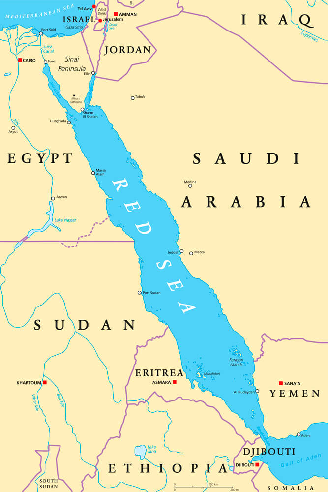
Egypt and Sudan both claim this resource-rich territory along the Red Sea, and neither will negotiate it away. The dispute has lasted decades.
Nobody can cross the area without accepting one nation’s authority, making it impossible to travel between the two countries directly.
Fish-Shaped Crop Circle (Poland-Ukraine Border)
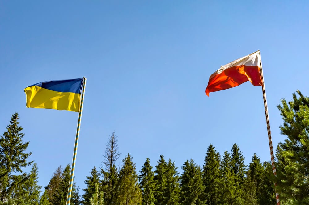
Polish artist Jaroslaw Koziara created a massive fish-shaped crop circle straddling the Poland-Ukraine border using 23 different types of plants. He made it to show that borders don’t divide cultures.
The art project became a statement about shared history and the absurdity of drawing lines through unified regions.
Stanstead-Derby Line Library (USA-Canada Border)
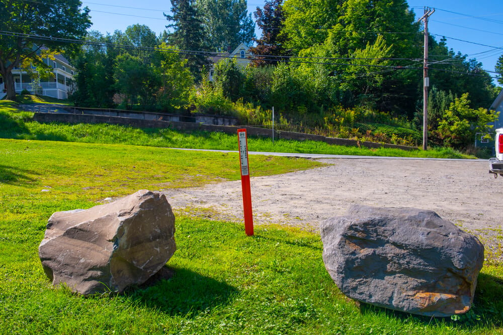
The Stanstead-Derby Line library’s front desk and lending area are in Vermont, but the stacks extend into Quebec. Patrons walk through different countries accessing the same collection.
The building was grandfathered in when the border was formalized, creating an institution that serves both nations while existing in both.
The Korean Demilitarized Zone (North Korea-South Korea Border)
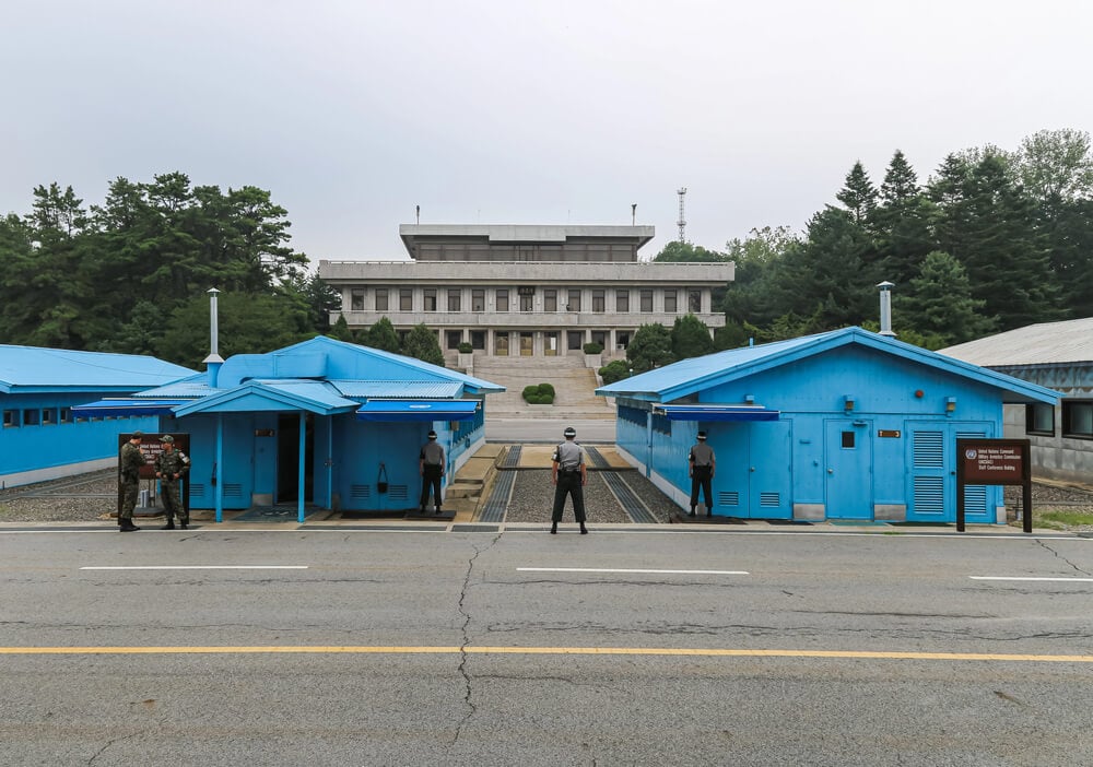
This 2.5-mile-wide buffer zone has been in place since 1953. Civilians are banned.
No one can cross. Wildlife flourishes in the absence of humans.
The border is the most dangerous in the world and completely impenetrable except through official checkpoints, making it one of Earth’s most militarized boundaries.
Vatican City (Completely Within Rome)
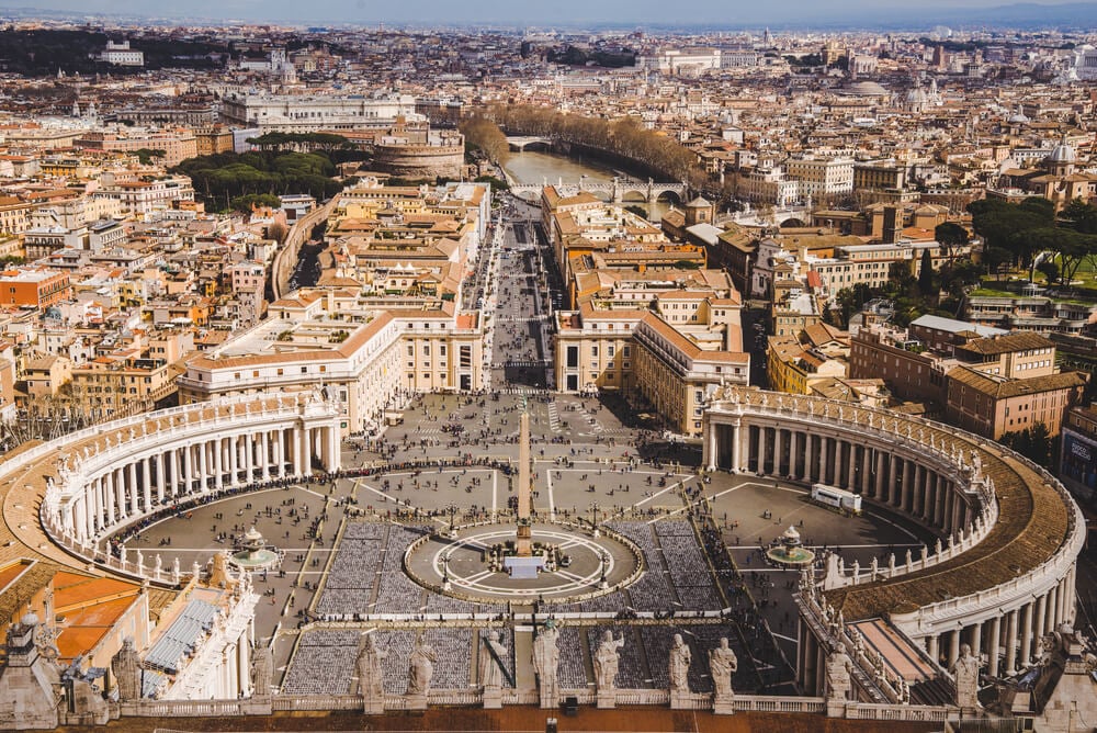
Vatican City is the world’s smallest country, and it’s literally surrounded by Rome. There’s no distinct border line; the city-state is simply cordoned off.
Walking down a Rome street, you pass from Italy into Vatican City without crossing any obvious boundary.
China-Nepal Border (In the Himalayas)
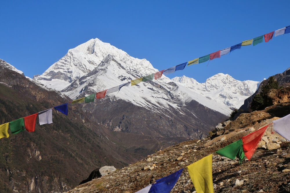
These borders are the highest in the world, meeting at the crest of the Himalayan Mountain Range. Some sections sit 16,000 feet above sea level.
Crossing the border means ascending or descending a mountain while navigating one of Earth’s most extreme environments.
Exclave of Indian Territory (Bangladesh-India)
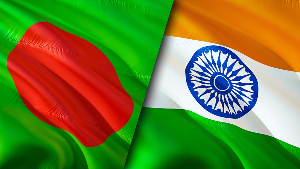
Until recent land swaps, tiny Indian territories existed completely surrounded by Bangladesh. These enclaves were citizens of India but required traveling through Bangladesh to access them.
The illogical borders resulted from 19th-century colonial-era agreements nobody updated for centuries.
The Basque Country Borders (Spain-France)
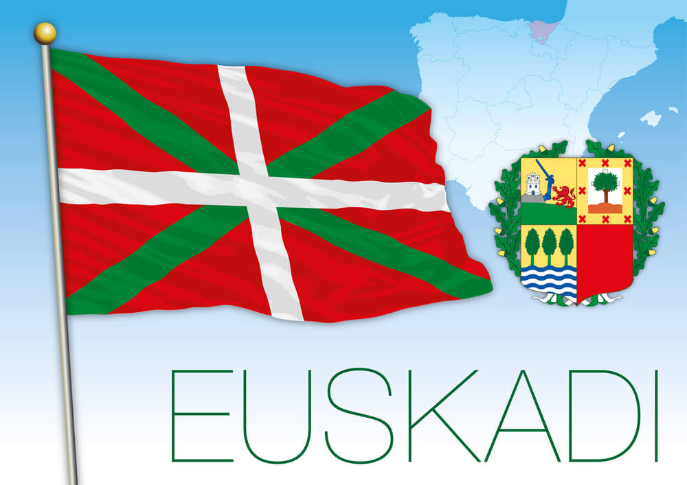
The Basque region straddles the border in a way that makes it culturally unified but politically divided. The border doesn’t follow any geographic feature.
It simply separates people who considered themselves Basque long before the border existed.
Tripoint Waterfalls (Multiple Countries)
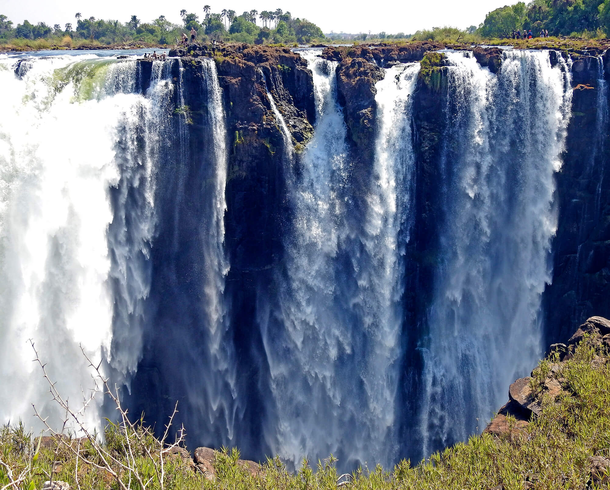
In southern Africa, waterfalls form triple-point borders where three countries meet. Water flowing over the falls technically passes from one nation into another (or multiple others) continuously.
The border is defined by flowing water that won’t stay still, making sovereignty itself a constantly moving target.
The Negev Desert Borders (Israel-Egypt)
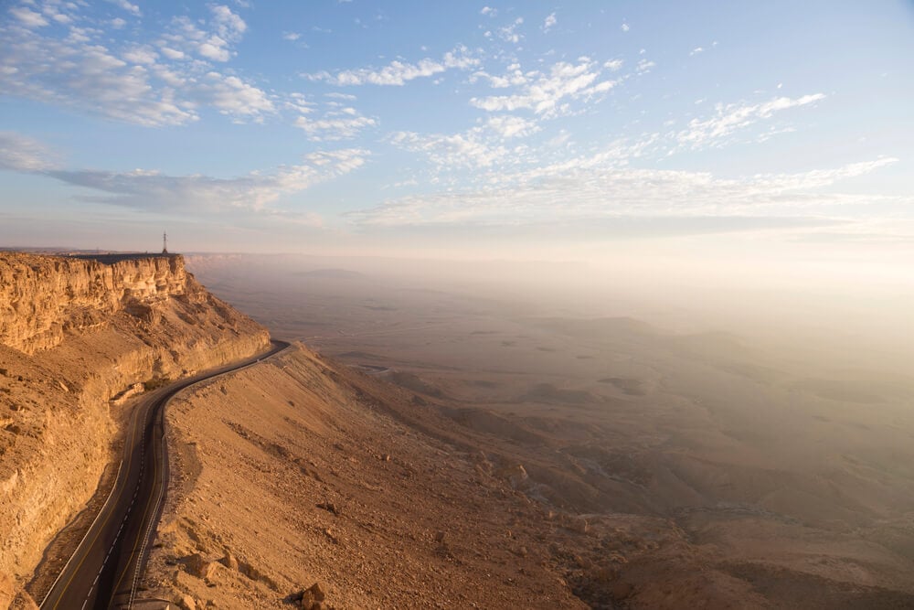
These borders were drawn by international agreement without any consultation of existing topography. The lines cross sand that looks identical on both sides.
Military checkpoints and walls mark the boundary that geography refuses to recognize.
Cayman Islands Territorial Waters (Multiple Countries)
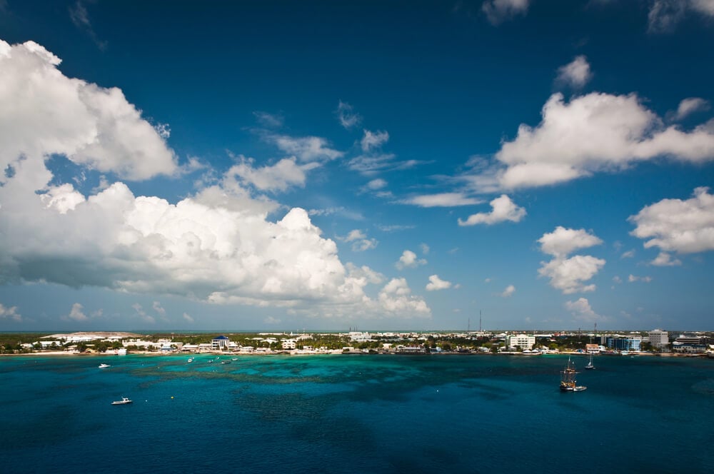
Underwater borders separate territorial waters. Fishermen must know exactly where their nation’s waters end and another’s begin, despite seeing nothing but water in all directions.
These lines are invisible but legally absolute, enforced despite existing entirely on paper.
Arizona-Mexico Border Fence Separations
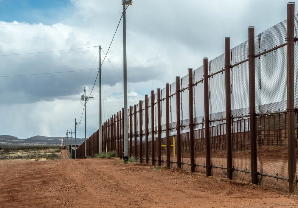
The border fence sometimes separates families who live on either side. Some communities are bisected, with residents in the same town unable to see or visit each other without official border crossings.
The fence physically separates people who share the same neighborhoods.
The Schengen Area Internal Borders (European Union)
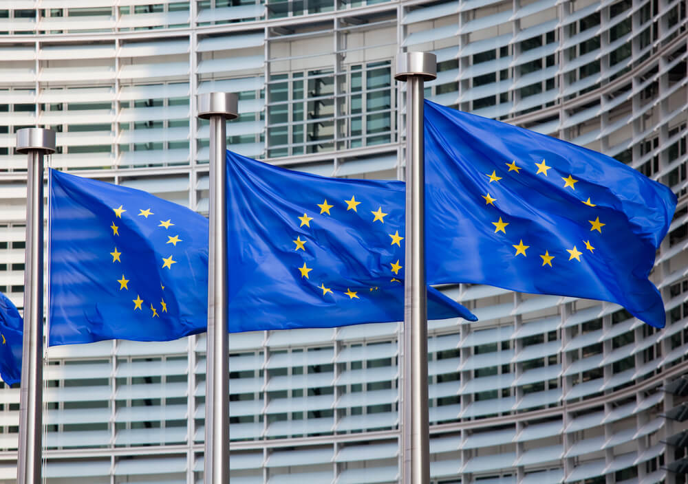
These borders officially exist but are mostly unmarked. You can drive from one Schengen country to another without realizing you’ve crossed a border.
The boundary is invisible, which was the entire point—to create free movement while maintaining official national boundaries.
Caprivi Strip Panhandle Communities
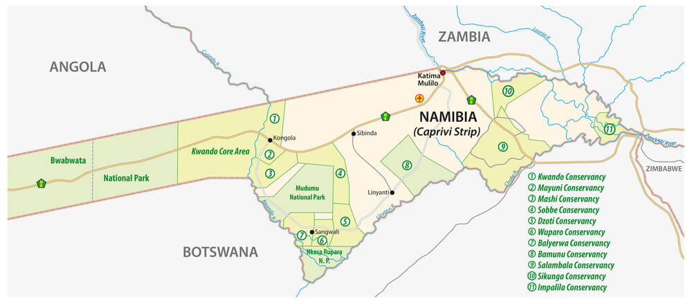
Towns in the Caprivi Strip were originally built in one country but now find themselves in a completely different nation due to border redrawing. Residents never moved, but their nationality changed.
Children born before the redrawing might have completely different citizenship status than their parents despite living in the same house their entire lives.
Maritime Borders in the North Sea (UK-Belgium)
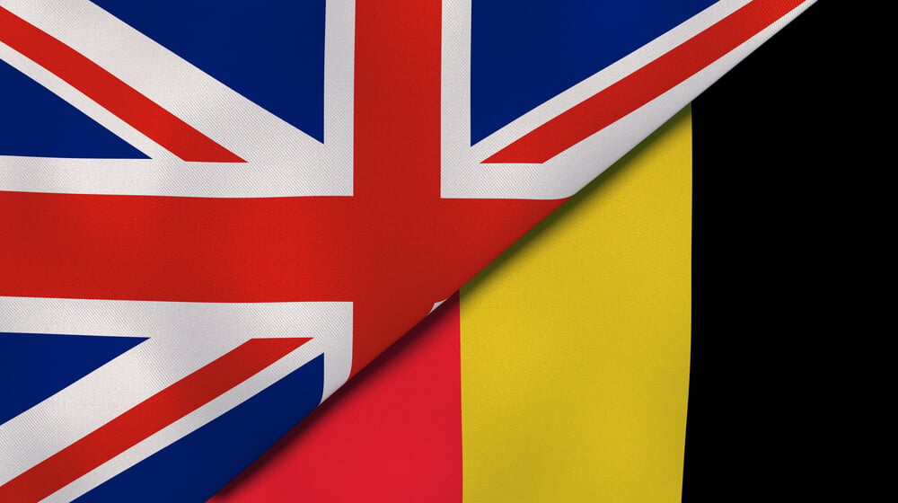
Undersea gas and oil deposits led to defining borders on the seafloor. These boundaries exist only on maps and in legal documents.
Ships passing overhead wouldn’t notice them at all, yet violating these underwater boundaries carries serious legal consequences.
Enclaves and Exclaves Worldwide
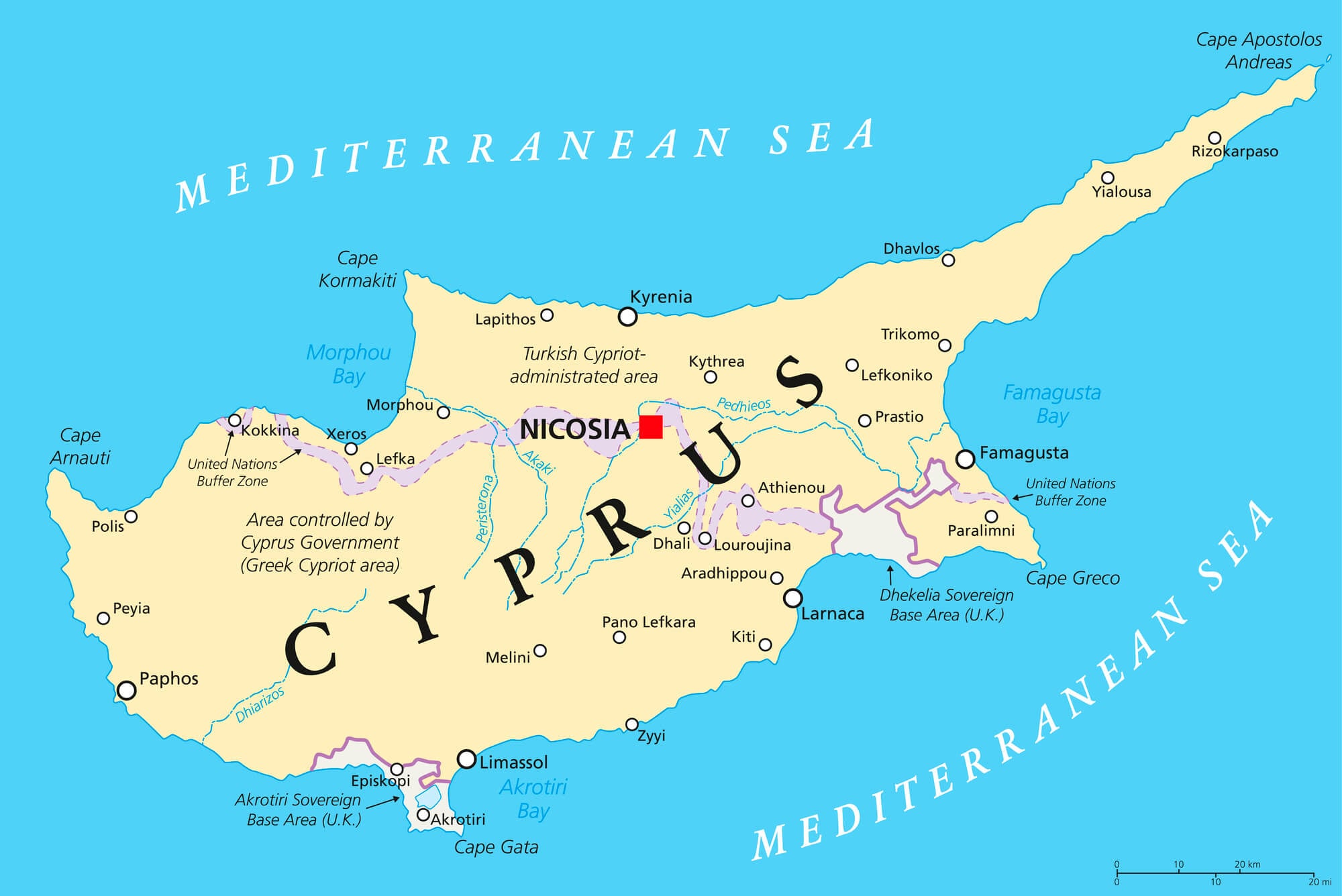
Dozens of small territories exist completely surrounded by foreign countries, accessible only by passing through the surrounding nation. India, Bangladesh, and other nations had multiple such territories, creating Swiss-cheese-like border patterns that defied simple explanation.
Some enclaves were inhabited territories where residents needed to cross a foreign nation to reach their own country.
The Absurdity of Lines
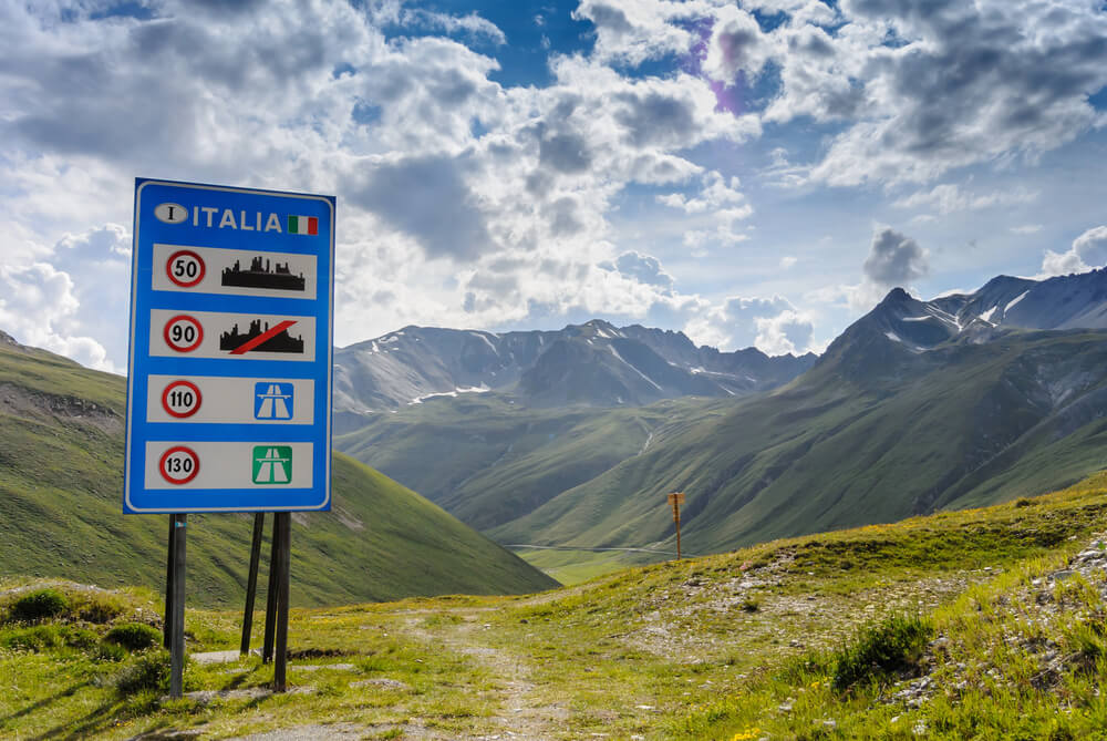
These 29 borders prove that the actual world rarely matches the neat geography textbook illustrations. Borders were drawn by people who had never seen the land they were dividing, or who deliberately chose irrational lines to maintain political advantages.
The results are places where nationality becomes contingent on which side of a room you occupy, where nations claim territory they actively refuse to govern, and where families must cross international checkpoints to see relatives living three houses away. These borders exist not because they make sense, but because they resulted from decisions that couldn’t be undone or renegotiated.
We live with them anyway, making them work despite their fundamental irrationality.
More from Go2Tutors!

- The Romanov Crown Jewels and Their Tragic Fate
- 13 Historical Mysteries That Science Still Can’t Solve
- Famous Hoaxes That Fooled the World for Years
- 15 Child Stars with Tragic Adult Lives
- 16 Famous Jewelry Pieces in History
Like Go2Tutors’s content? Follow us on MSN.