15 Surprising International Borders Around the World
Borders often seem neat and simple on maps, but reality has a different sense of humor. Some lines slice through buildings, others vanish into lakes or deserts. A few seem intentionally whimsical, while others were clearly drawn by people who never planned to visit the areas they divided.
These aren’t the famous border crossings you see in movies. These are the ones that make you pause and wonder what the mapmakers were thinking.
United States and Mexico at Tijuana Beach
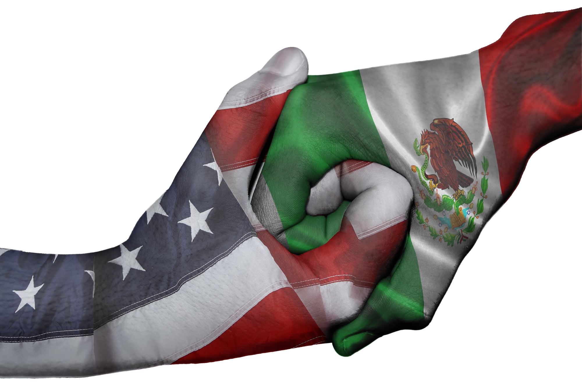
Here, the border fence runs straight into the Pacific Ocean. Metal slats march down the sand and continue into the surf until the waves take over. Families gather on both sides — Mexican families on the south, American families on the north, close enough to pass snacks through the gaps.
The fence stops where physics begins. No one has figured out how to build a wall through water.
North Korea and South Korea at the DMZ
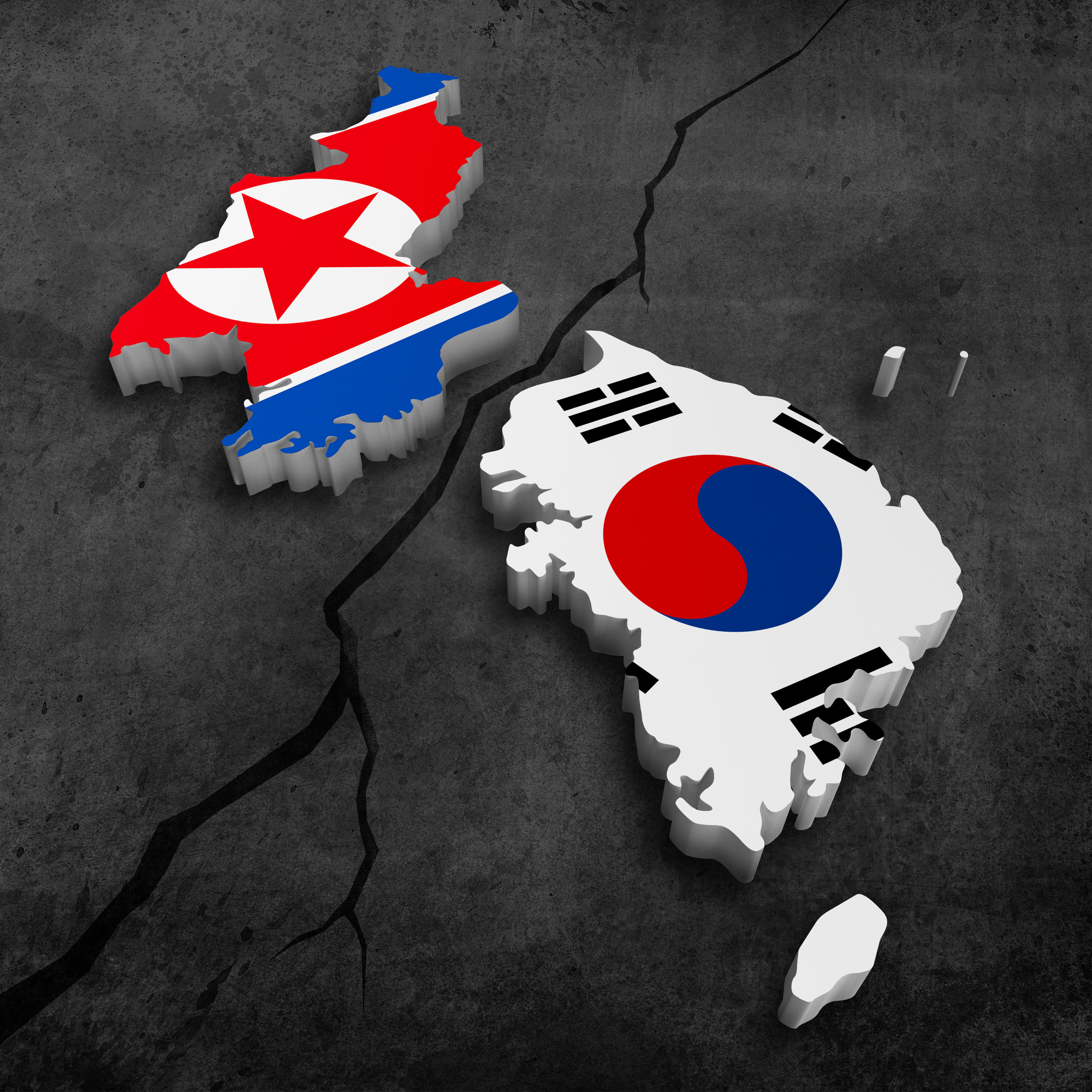
This border doesn’t just separate two nations; it accidentally became one of the world’s most pristine nature reserves. Ironically, the area remained untouched for seventy years because it’s littered with landmines and patrolled by armed soldiers.
The 2.5-mile-wide strip running across the Korean Peninsula has become a haven for endangered species like red-crowned cranes and Asiatic black bears. What started as a temporary ceasefire line in 1953 has turned into an unplanned ecological sanctuary.
Yet, it’s also a tourist spot. Observation decks, gift shops, and bus tours let visitors peer into a country that seems from another planet, while the North Korean side has its own version of tourism, albeit less publicized.
Haiti and the Dominican Republic
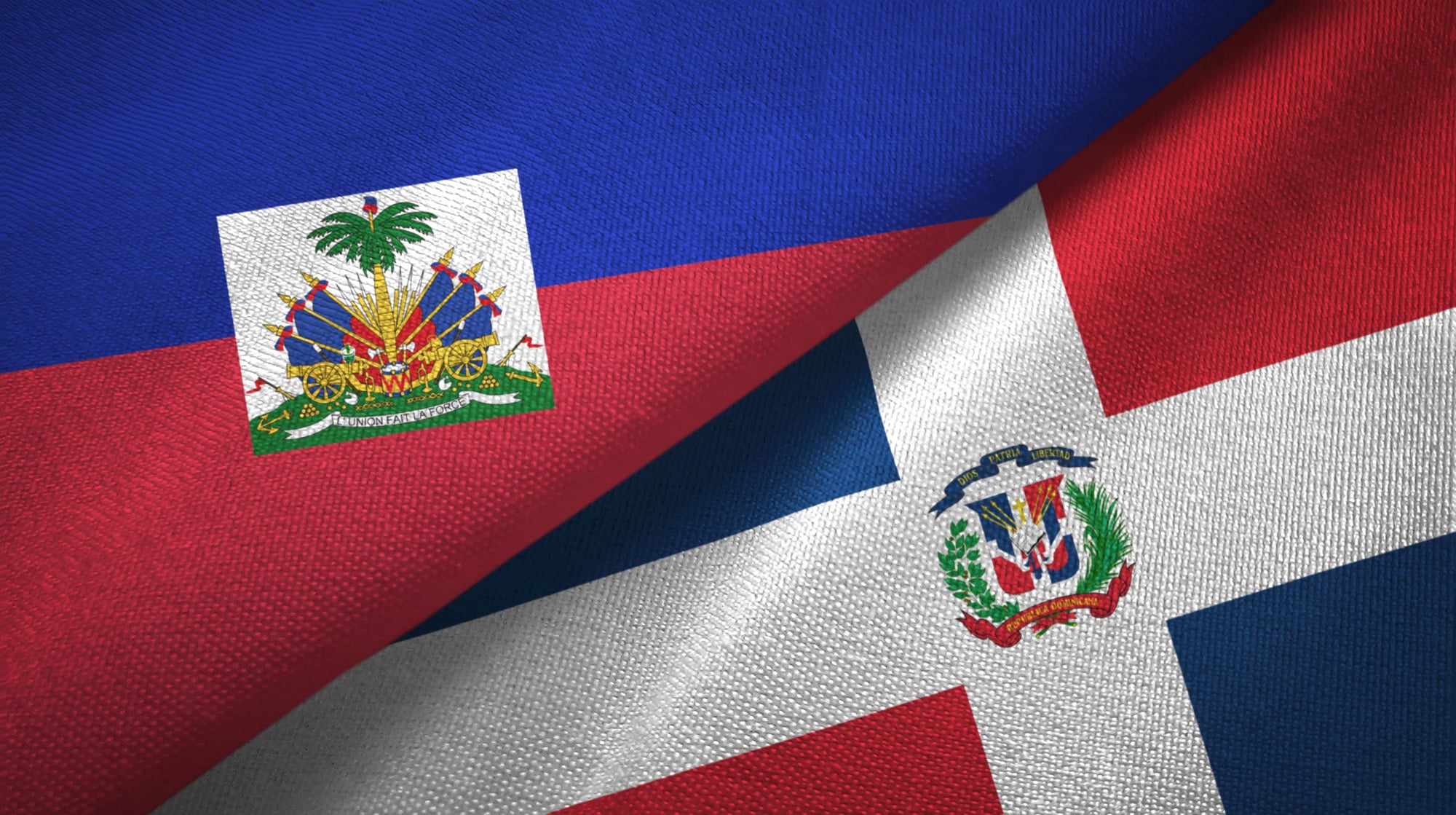
Imagine a line drawn across a living canvas where green abruptly turns brown. Haiti’s side is stripped bare, while the Dominican Republic remains lush with forest.
Same island, same soil, same rainfall — different decades of choices created entirely different worlds. No need for signs; the trees themselves mark the border.
Netherlands and Belgium at Baarle
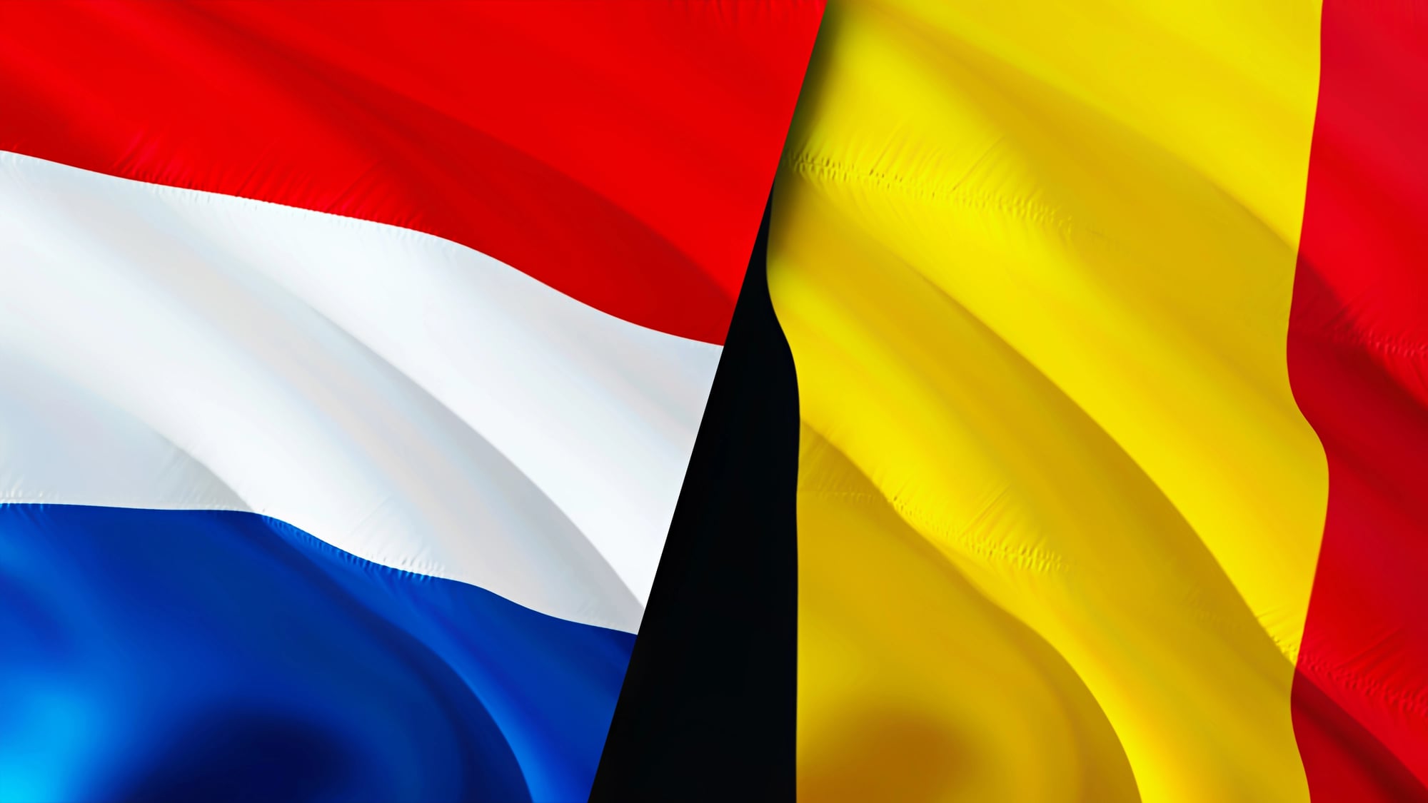
This border refuses to make sense. Dutch territory exists as islands within Belgian territory, which contains islands of Dutch land — sometimes even with houses where the front door opens into Belgium while a bedroom window looks out onto Dutch soil.
The result? Restaurants serving lunch in one country and dinner in another, homes you can cross by walking from kitchen to living room, and tax authorities that gave up trying to untangle it decades ago.
China, Pakistan, and Afghanistan at the Wakhan Corridor
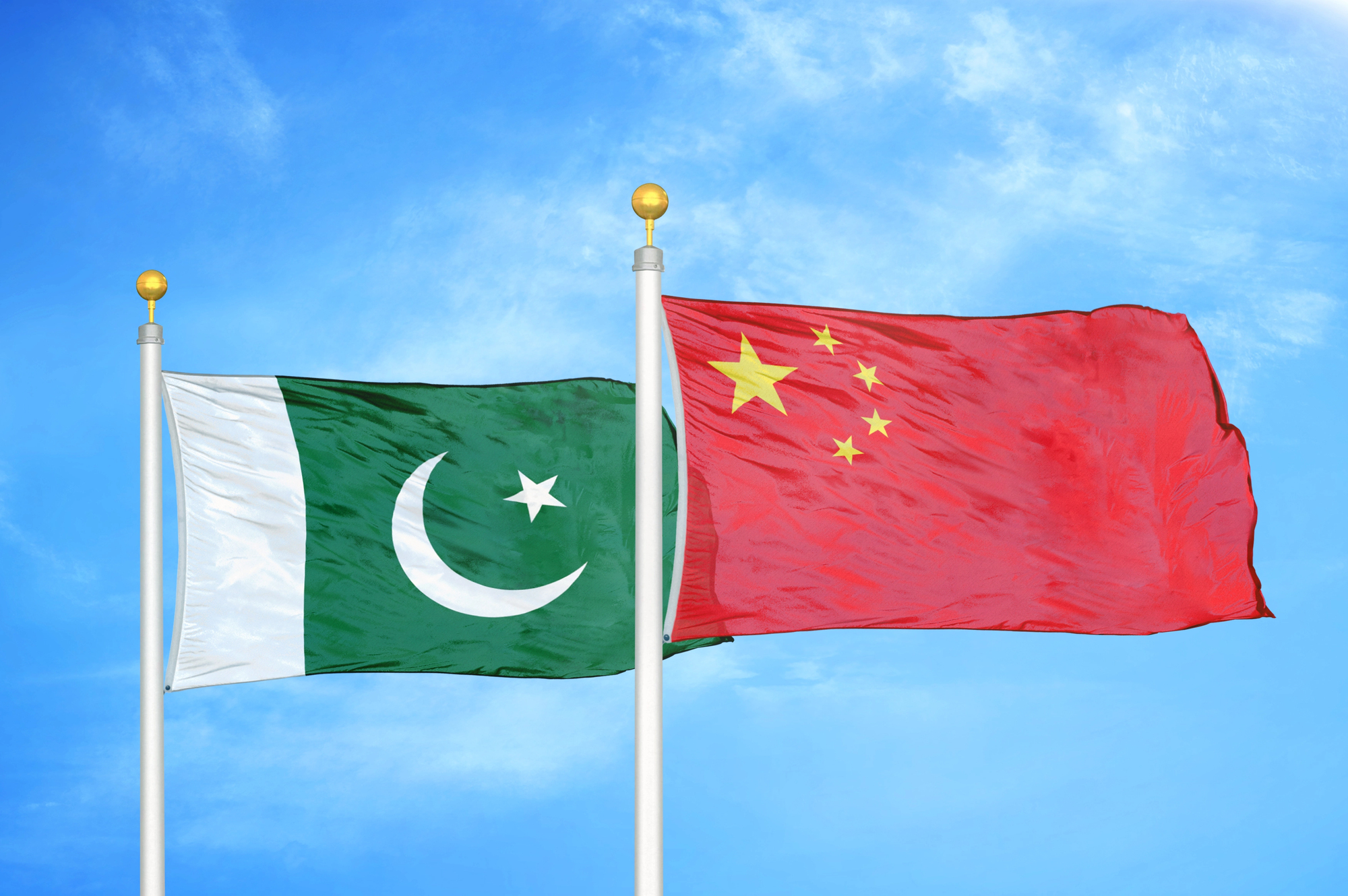
The Wakhan Corridor exists because 19th-century British diplomats wanted a buffer between Russian and British empires. A thin slice of Afghanistan stretches east to touch China — 220 miles long but sometimes only 8 miles wide, wedged between Pakistan and Tajikistan.
High-altitude passes, winter snow, and remote mountains make borders feel irrelevant here. The people who live there — mostly Kyrgyz and Wakhi herders — don’t care which country their yaks graze in. The corridor’s strategic importance, though, has persisted for over a century.
Spain and Portugal at Olivenza
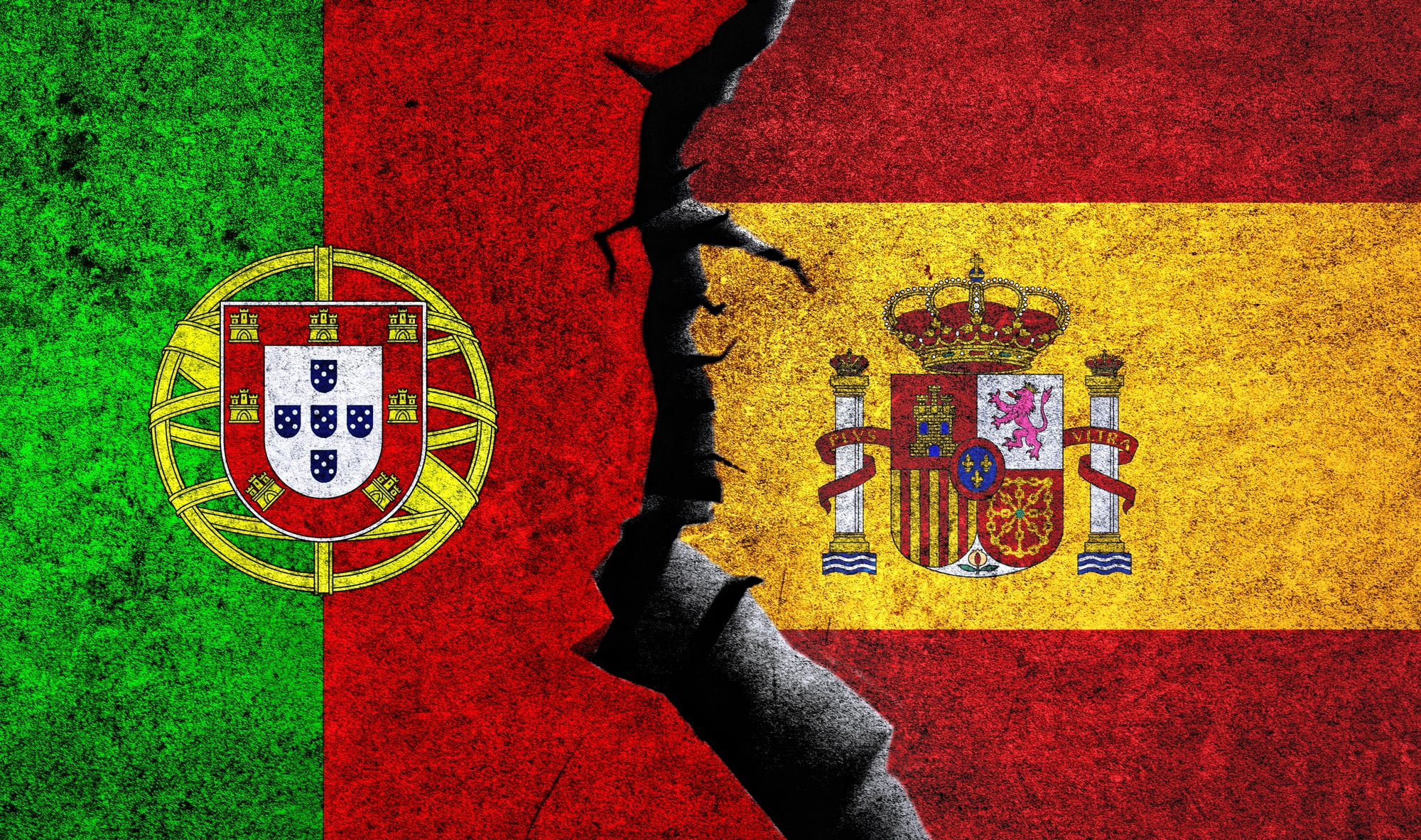
Maps contradict each other: Spanish maps show Olivenza as Spanish territory, Portuguese maps claim it as Portuguese under Spanish administration. Both nations maintain post offices, creating curious mail delivery scenarios.
Residents live normal lives — speaking Spanish, paying Spanish taxes, voting in Spain — while diplomatic protests bounce back and forth every few years. Life goes on, largely ignoring the bureaucratic tug-of-war.
India and Bangladesh Enclaves
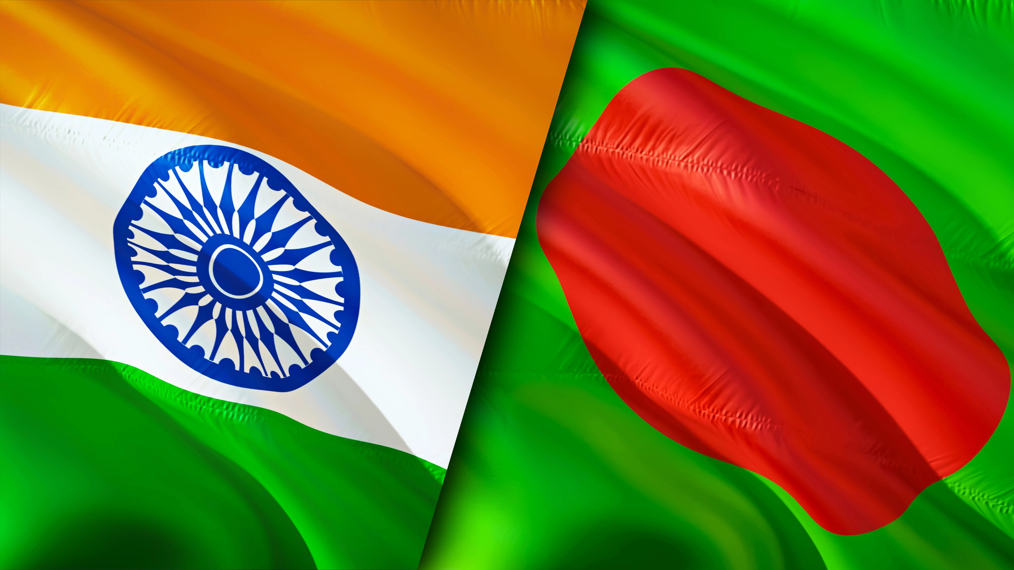
Geography once looked like a fever dream: Indian land inside Bangladesh, containing Bangladeshi land, which contained more Indian land.
People had to cross international borders just to reach their own homes, schools, or hospitals. In 2015, the largest exchange of territory since partition finally resolved the confusion. Reason eventually won, after 68 years.
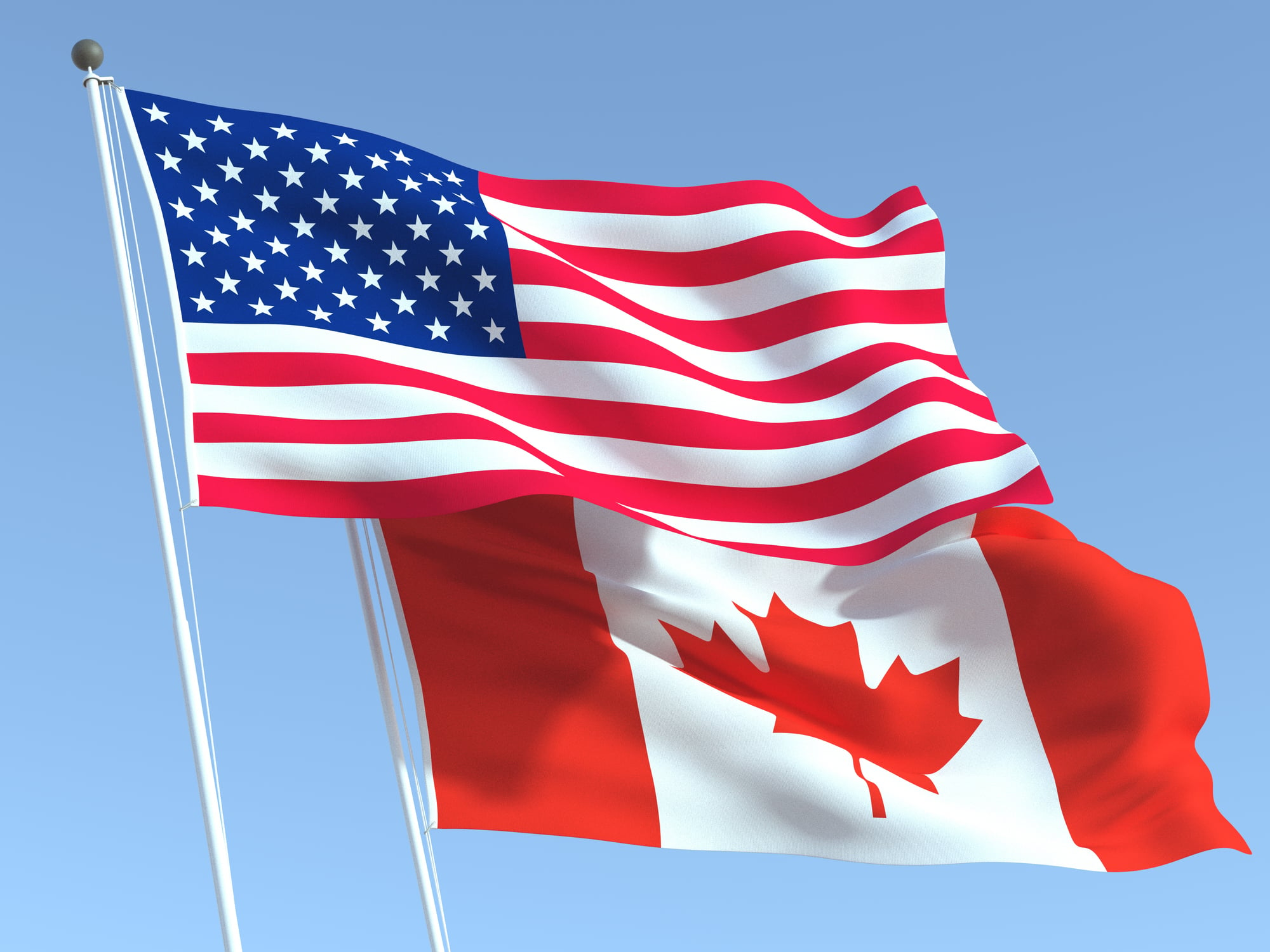
United States and Canada through a Library
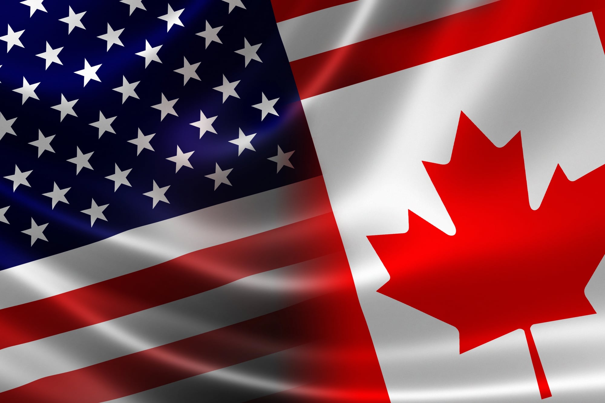
The Haskell Free Library straddles the Vermont–Canada border. A black line runs across the reading room floor — you can check out a book in America and return it in Canada, or read a newspaper spanning two countries without leaving your chair.
The building, designed in 1904, operates under special rules allowing free access for people from both sides. Step out the wrong door, though, and you technically become an illegal border crosser.
Egypt and Sudan at Bir Tawil
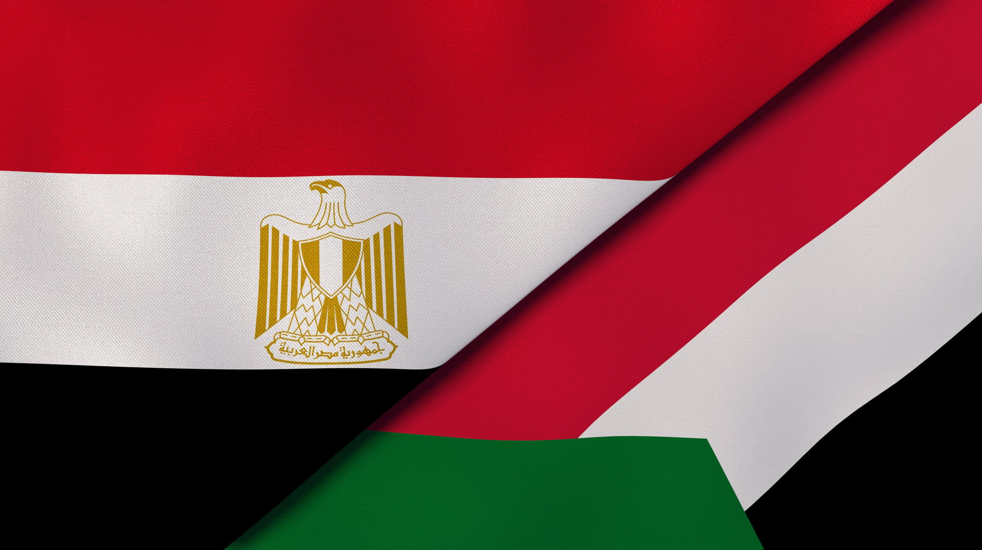
Bir Tawil is unclaimed territory because both Egypt and Sudan insist it belongs to the other. This 800-square-mile desert exists in legal limbo.
Claiming Bir Tawil would mean giving up the more valuable Hala’ib Triangle. A few adventurers have tried declaring it their own country, but the desert remains indifferent.
France and Switzerland through a Runway
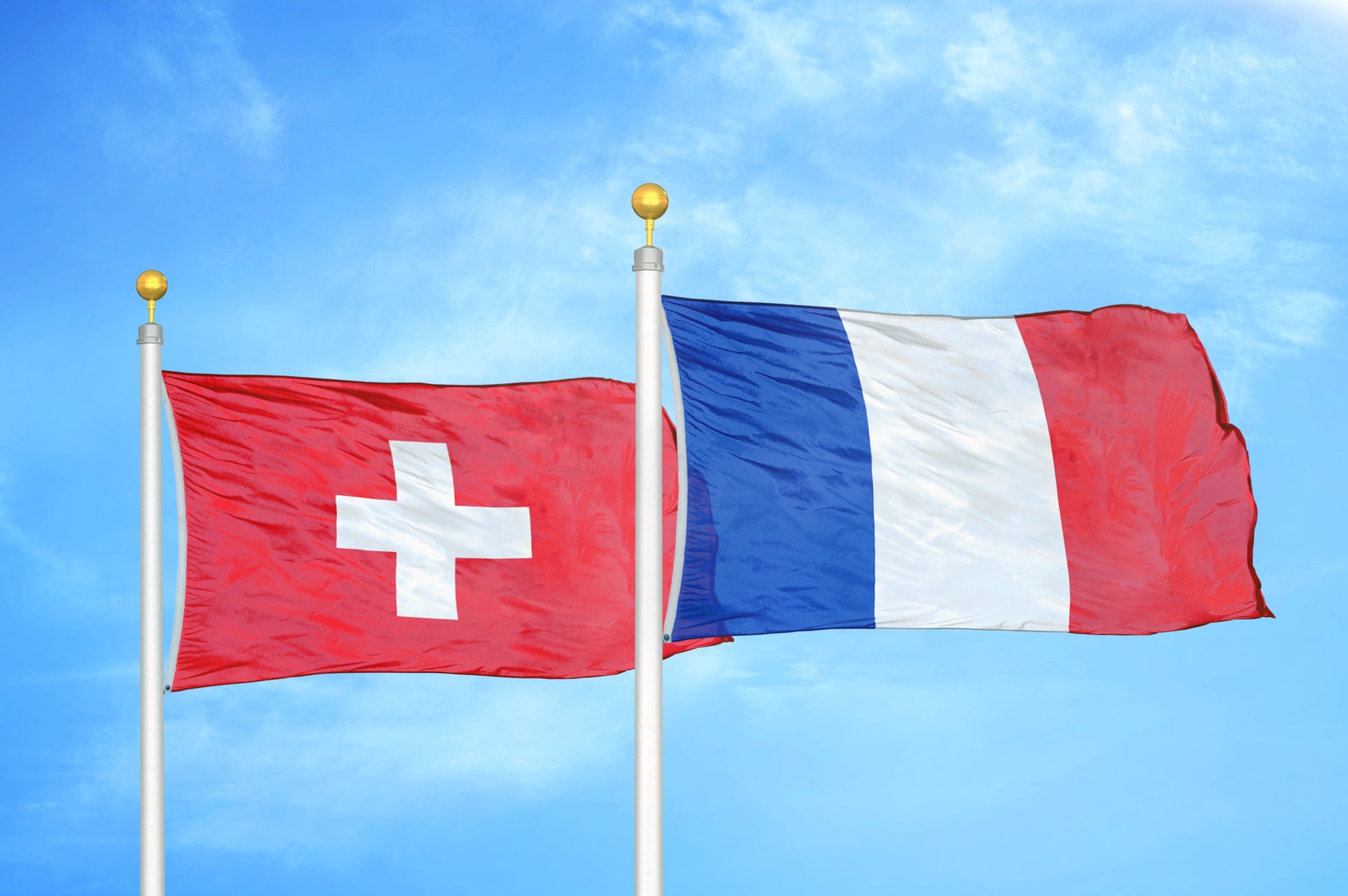
At Geneva Airport, the runway briefly enters French airspace mid-takeoff, then returns to Switzerland before reaching international airspace.
Travelers rarely notice; customs and airport engineering handle the complexity so no one has to think about which country their luggage is technically in.
Argentina, Brazil, and Paraguay at Triple Frontier
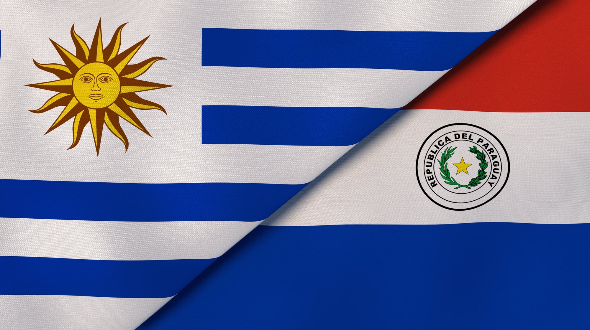
Three nations meet at the junction of the Iguazu and Paraná rivers. Here, the border exists more in water than on land.
Rivers act as both boundaries and highways for people skilled at navigating them. Government oversight is intermittent, giving the area a blend of beauty and utility.
United States and Mexico at Naco
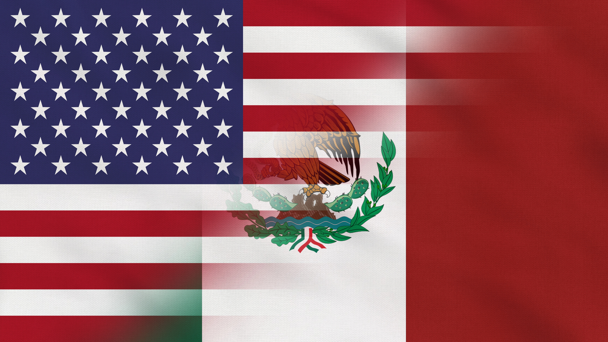
The fence cuts through Naco, dividing one community into two countries: Naco, Arizona and Naco, Sonora. Families once shared streets, played soccer across the line, and visited relatives freely.
Now, a 20-foot steel fence separates them, but the community remains connected — passing gifts through the slats, coordinating festivals, and dancing together despite the barriers.
Morocco and Spain at Peñón de Vélez de la Gomera
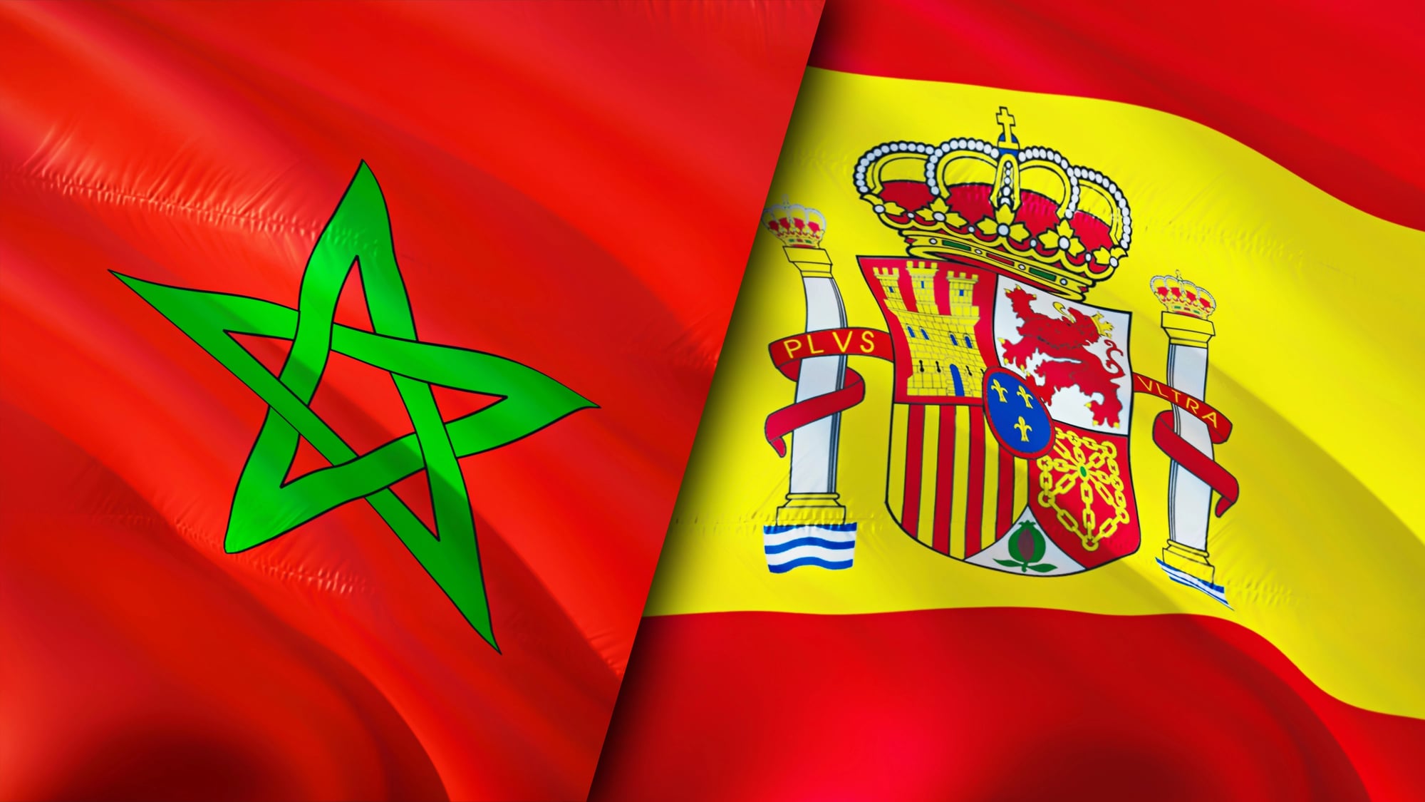
Spain controls a tiny rock off Morocco’s coast connected by a beach narrower than a tennis court — the world’s shortest land border at 280 feet.
Supplies arrive by helicopter. Morocco prefers the rock back, but Spain has held it since 1564. Possession counts, even on a rock.
Germany, Belgium, and Netherlands at Vaalserberg

A stone pillar on a hill marks the meeting point of three countries. Tourists can stand in Germany, touch Belgium, and have a camera in the Netherlands.
These borders have been redrawn through wars, treaties, and dynasties, stabilizing only after World War II. The novelty is fun, but the real story is centuries of negotiation finally finding a liveable solution.
United States and Canada at Point Roberts
Point Roberts is part of Washington state but only accessible through Canada. Residents cross borders for groceries, school, and emergency services.
Enhanced driver’s licenses, international school buses, and cross-border fire agreements make life here uniquely complicated. Geography occasionally makes citizenship tricky.
Where Lines Blur and Life Continues

Borders reveal human tendencies: the need to organize space, to complicate matters unnecessarily, and the ability to adapt when reality doesn’t match maps.
The most interesting borders aren’t the ones that function perfectly, but the ones that function despite themselves. Communities adapt, improvise, and often find humor in bureaucratic lines that divide them. Maps may be permanent, but life along borders always finds a way.
More from Go2Tutors!

- The Romanov Crown Jewels and Their Tragic Fate
- 13 Historical Mysteries That Science Still Can’t Solve
- Famous Hoaxes That Fooled the World for Years
- 15 Child Stars with Tragic Adult Lives
- 16 Famous Jewelry Pieces in History
Like Go2Tutors’s content? Follow us on MSN.