16 Road Trip Essentials from the ’70s That Kids Today Have Never Seen
The smell of vinyl seats warming in the sun, the crinkle of paper maps unfolding across your lap, the ritual of rolling down windows by hand — road trips in the 1970s required a completely different arsenal of gear. Before smartphones, GPS, and streaming entertainment, families packed their cars with analog solutions to problems kids today will never face.
These weren’t just conveniences; they were survival tools for the open road, each one carrying the weight of necessity in a world where getting lost meant staying lost until you found someone to ask for directions.
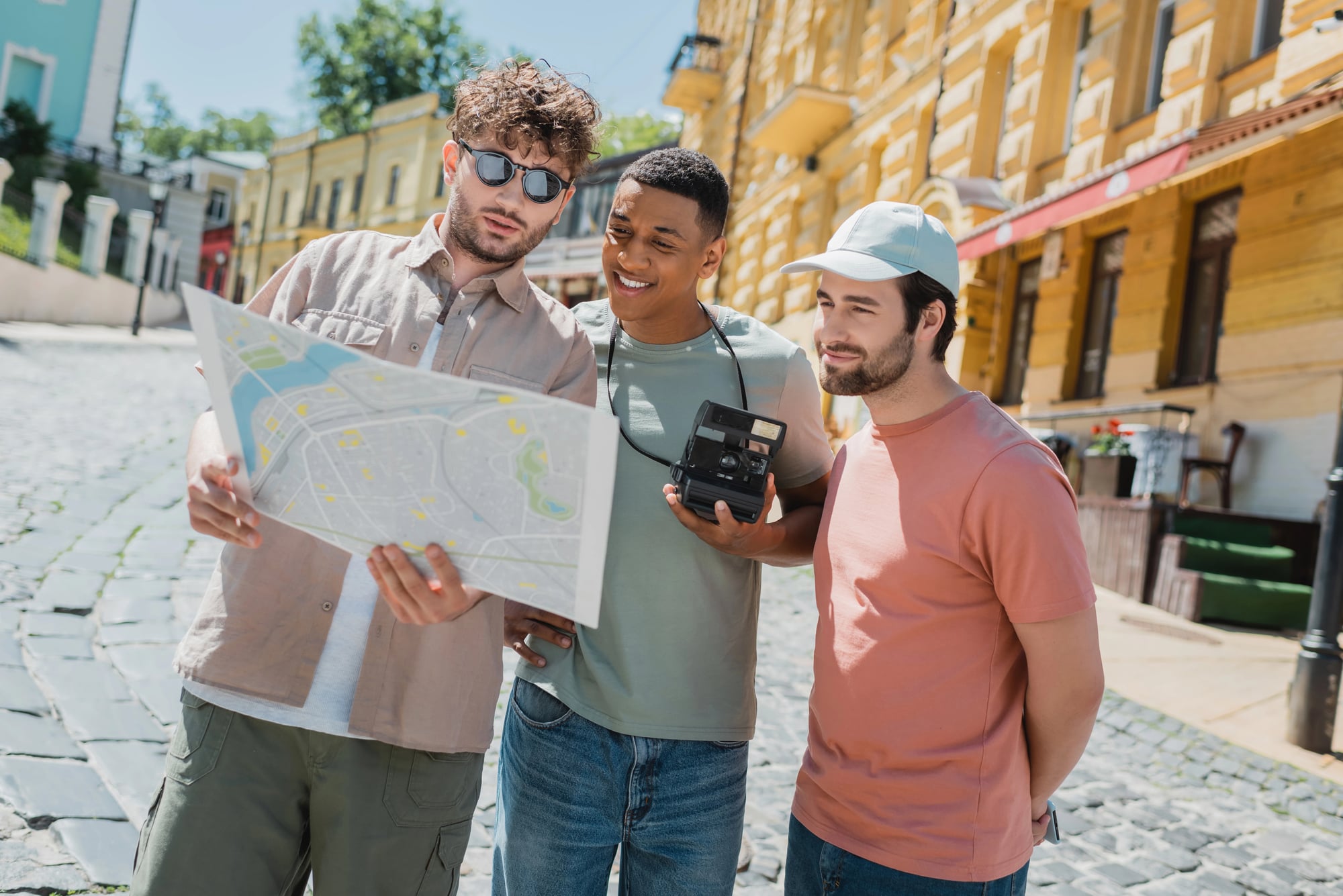
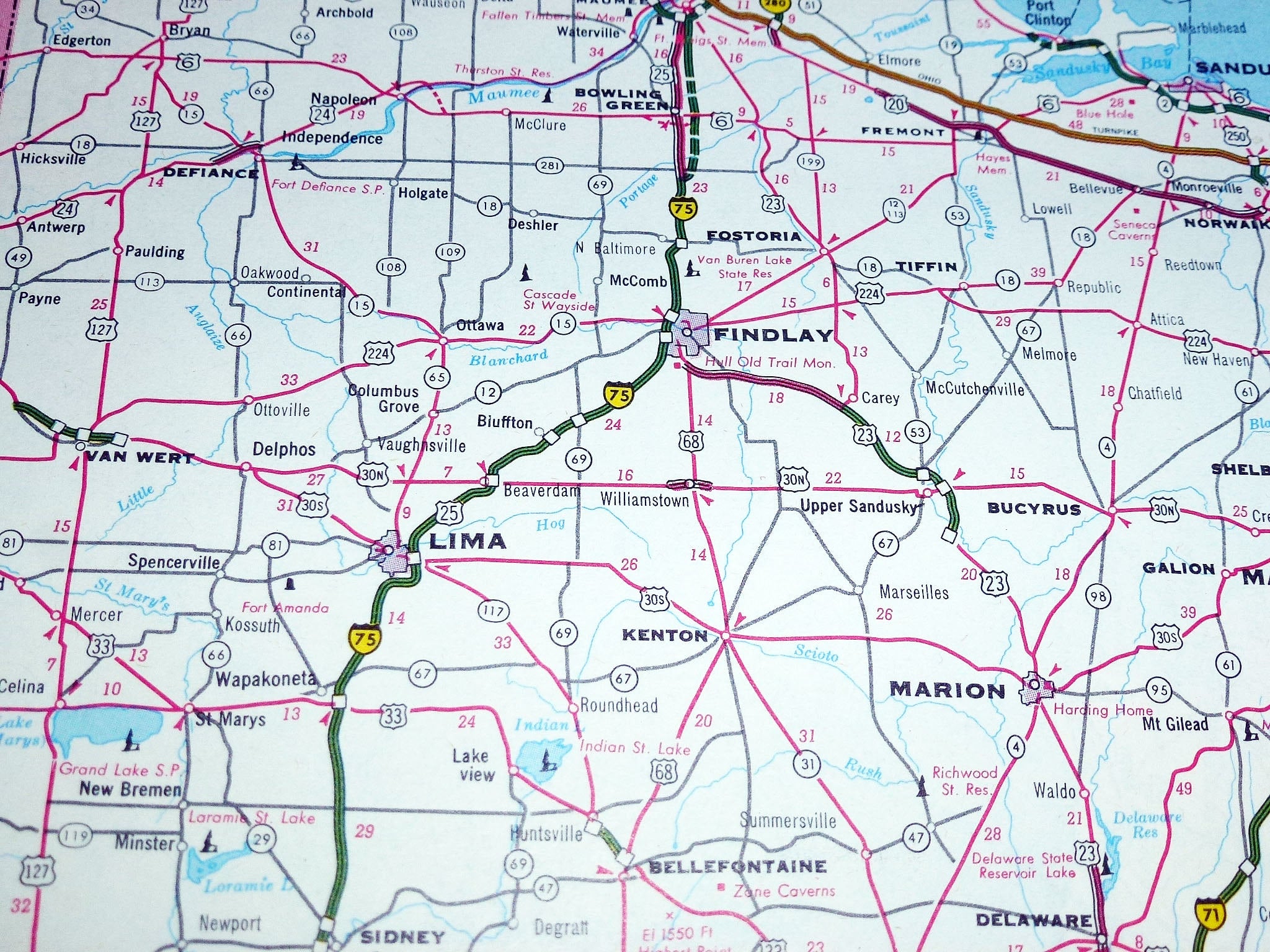
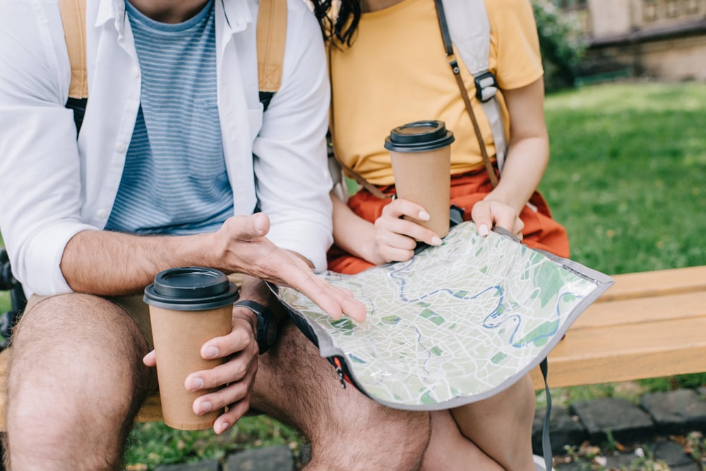
Paper Road Maps
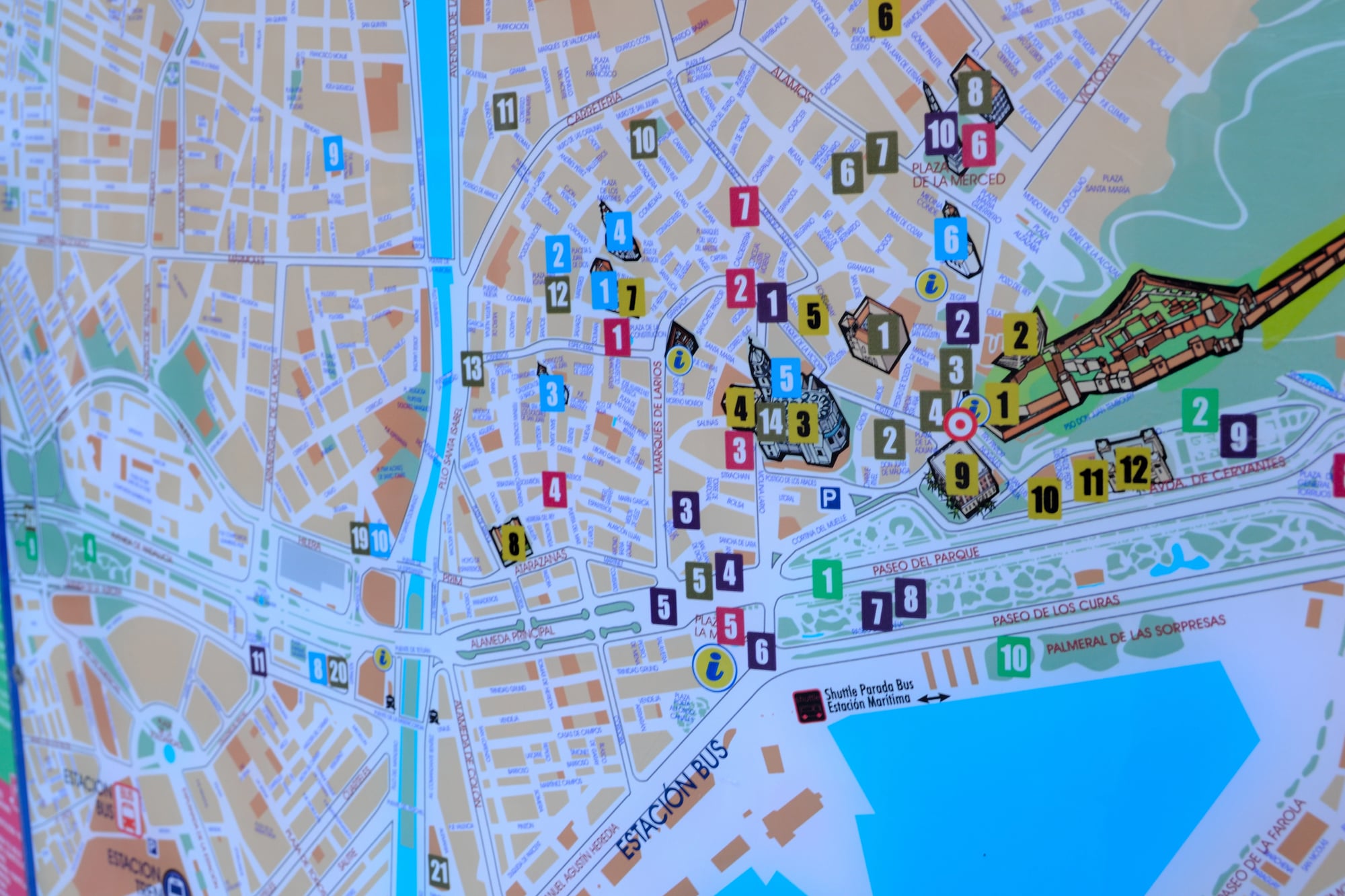
Gas stations gave these away for free. Fold one wrong and you’d spend the next twenty minutes wrestling it back into shape.
The glove compartment held a small library — state maps, city guides, regional atlases — all marked with highlighter routes and coffee stains from previous adventures. Kids learned geography the hard way, tracing interstate highways with their fingers while parents called out exit numbers.
No satellite view, no traffic updates, just thin colored lines and the faith that they’d eventually lead somewhere worth going.
Thomas Guide
The Thomas Guide wasn’t just a book — it was the navigation system for anyone who needed to find addresses in unfamiliar cities, and for families embarking on road trips through urban areas, it became an indispensable co-pilot that demanded respect (and a certain amount of spatial intelligence that many people discovered they lacked). The spiral-bound collection of detailed street maps covered entire metropolitan areas with a precision that made getting lost feel almost intentional, since every street, every cul-de-sac, every freeway onramp was right there in black and white, waiting for someone to decode the grid system.
But here’s the thing about the Thomas Guide: it corrects you when you’re wrong about where you think you are, which is a particular kind of humbling that GPS simply can’t replicate. And yet families kept one in every car, because knowing exactly where you were (once you figured out how to read it) felt like having superpowers.
The index alone could overwhelm — page after page of street names with corresponding grid coordinates that required cross-referencing skills most people had to develop on the fly.
Cooler With Ice

Every family owned one of those orange or blue Coleman coolers. Pack it wrong and the sandwiches got soggy.
Pack it right and cold drinks lasted two days in desert heat. Ice was currency — you bought bags at gas stations and rationed cubes like a resource manager.
The cooler rode shotgun in the back seat, wedged between sleeping bags and suitcases. Kids learned to dig through melted ice water for the last can of soda, accepting wet sleeves as the price of refreshment.
No drive-thrus every five miles, just whatever you brought and the hope it wouldn’t spoil.
CB Radio
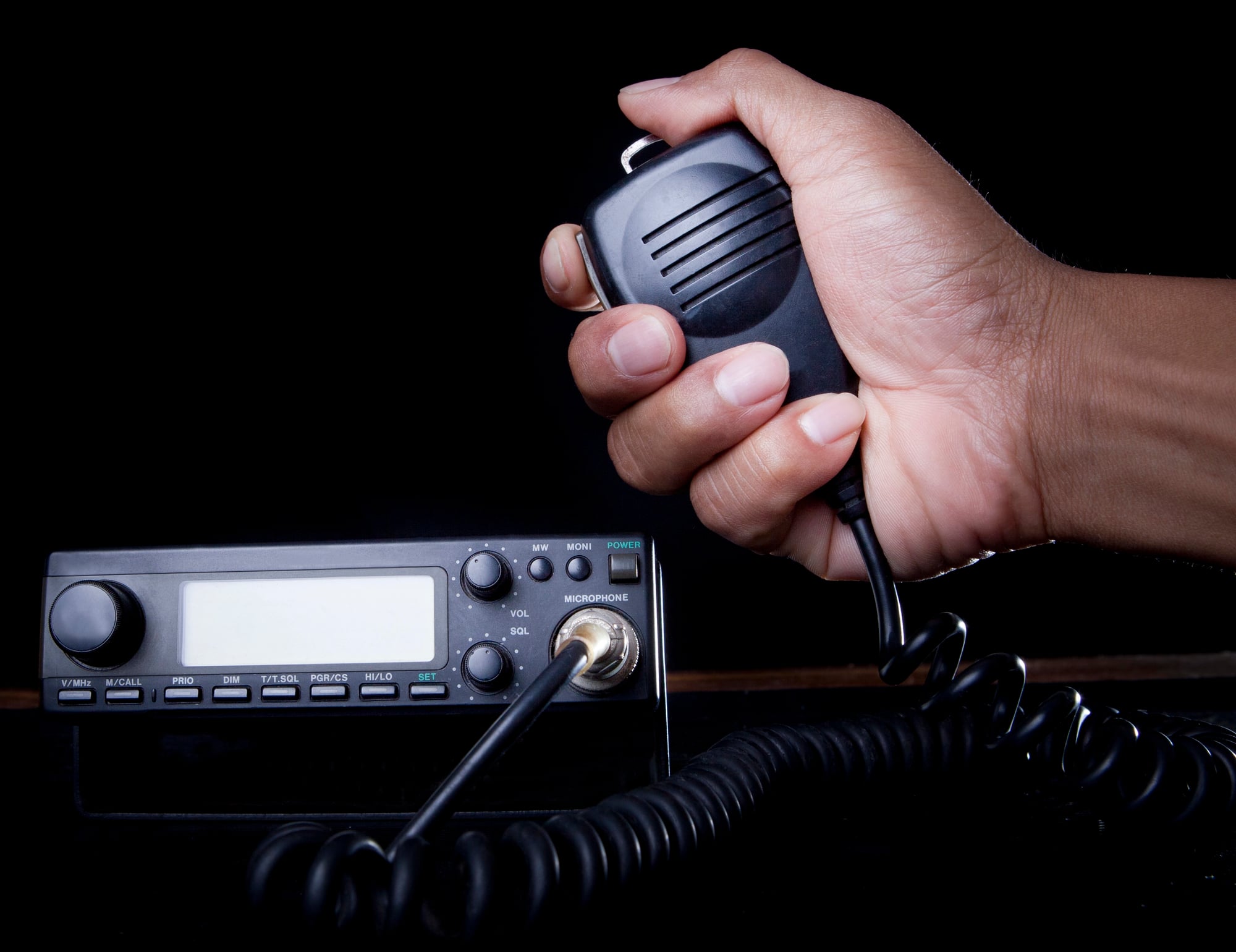
Truckers owned the airwaves and had their own language. “Breaker one-nine” meant you wanted to talk.
“Smokey” meant police. Families listened more than they spoke, picking up traffic warnings and road conditions from drivers who knew every mile of asphalt personally.
The CB crackled with static and distant voices, creating an invisible community of travelers all headed somewhere else. Handle names replaced real ones — “Moondog” and “Freight Shaker” became temporary friends you’d never meet.
Kids loved the codes and slang, learning a secret vocabulary that made them feel like insiders in the world of long-haul driving.
Physical Travel Games
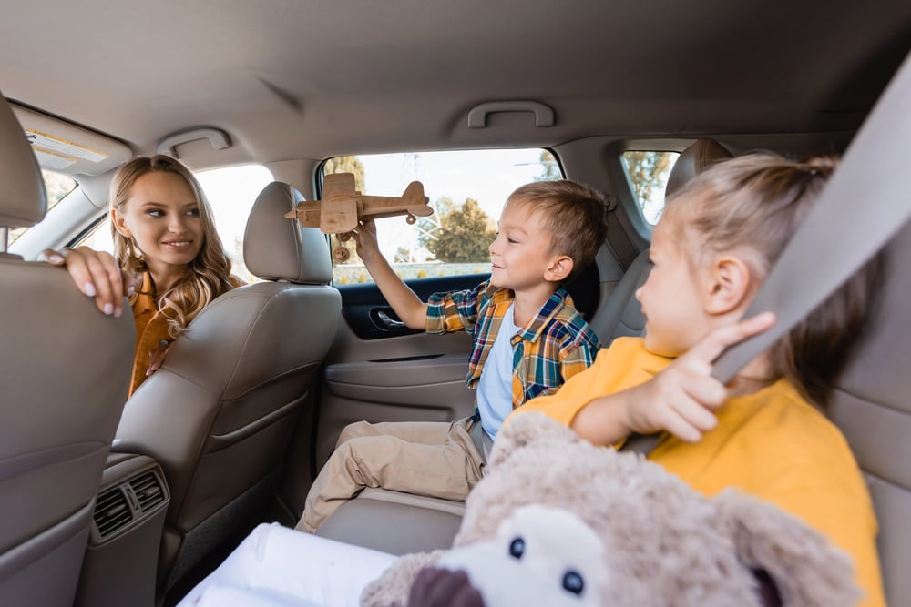
The backseat was a battlefield of boredom, and parents came armed with weapons of analog distraction that required nothing more than attention and the landscape rolling past the windows — games like “20 Questions” that could stretch across three states if someone picked something sufficiently obscure, or “License Plate Bingo” that turned highway tedium into competitive geography lessons where spotting Alaska plates in Kansas felt like discovering treasure. So kids learned to make entertainment from nothing, counting red cars or searching for animals in cloud formations because the alternative was staring at the back of their parent’s head for six hours straight.
And yet these games created a particular kind of family bonding that happened nowhere else: the shared focus, the collaborative storytelling, the way siblings temporarily stopped fighting because they were all working toward the same goal of making miles disappear. The car itself became the game board, with windows serving as scoreboards and imaginations doing the heavy lifting that screens handle now.
Rand McNally Road Atlas
This was the master reference book — bigger and more comprehensive than individual state maps. The spiral binding let it lay flat across two laps, and the detailed index could locate any town with more than a few hundred residents.
Parents studied it like scripture, planning routes and calculating distances with a ruler. The atlas lived in the front seat, passed back and forth between driver and navigator.
Rest stops meant spreading it across picnic tables, tracing alternate routes with fingertips while debating scenic versus faster options.
Magnetic Tape Cassettes
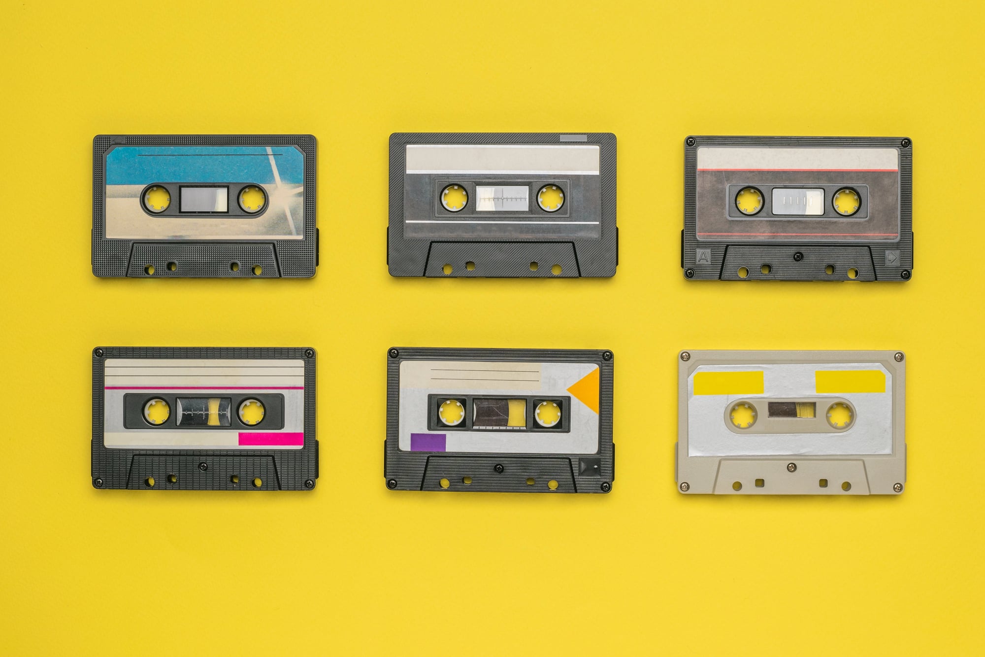
Every family loaded a shoebox with cassettes for the road. Mix tapes, store-bought albums, recorded radio shows — all fighting for space in the limited dashboard storage.
The ritual involved reading track listings, rewinding to favorite songs, and accepting that music came in predetermined orders. Car stereos ate tapes with disturbing regularity, creating spaghetti tangles of brown magnetic ribbon.
Kids learned to use pencils for repairs, winding loose tape back into plastic shells. No skipping, no shuffling, no instant access to millions of songs.
Just what you brought and the hope the tape deck wouldn’t jam somewhere in Nebraska.
Physical Camera With Film
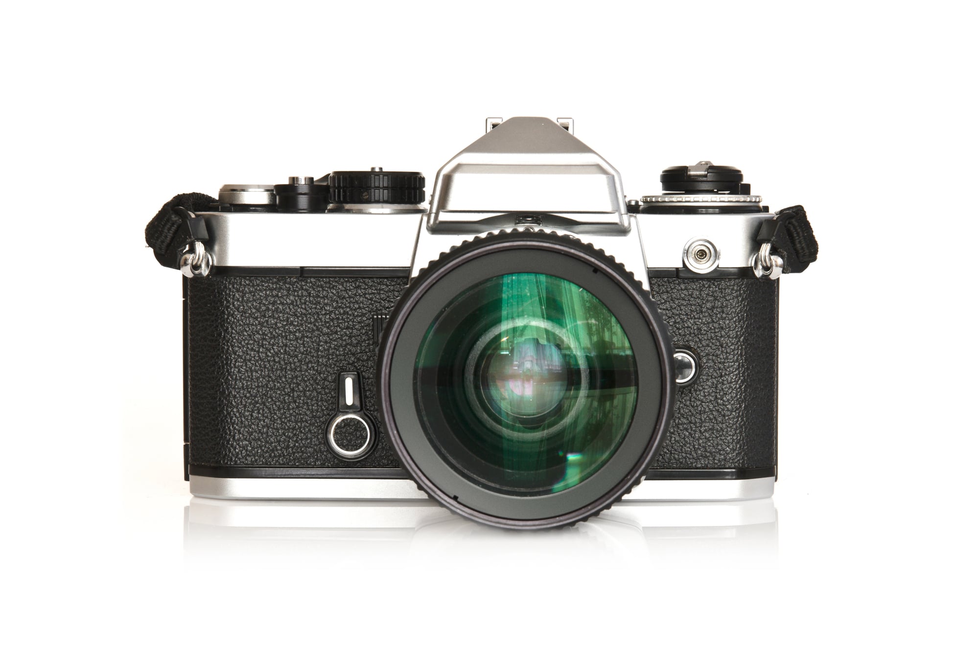
Taking pictures meant commitment (and since each roll of film contained exactly 36 exposures, every shot required the kind of deliberate consideration that digital photography has rendered extinct, which means families debated whether roadside attractions deserved precious frames or if they should save them for more important moments that might never come). Loading film required threading it correctly through tiny metal guides in complete darkness — mess up and the entire roll would be blank when developed weeks later.
And that uncertainty was part of the experience: you never knew if the sunset over Monument Valley actually turned out until you got home and found an envelope of prints waiting at the drugstore. So road trip photography became an exercise in selective memory-making, where choosing what to capture mattered as much as the capturing itself.
Thermos
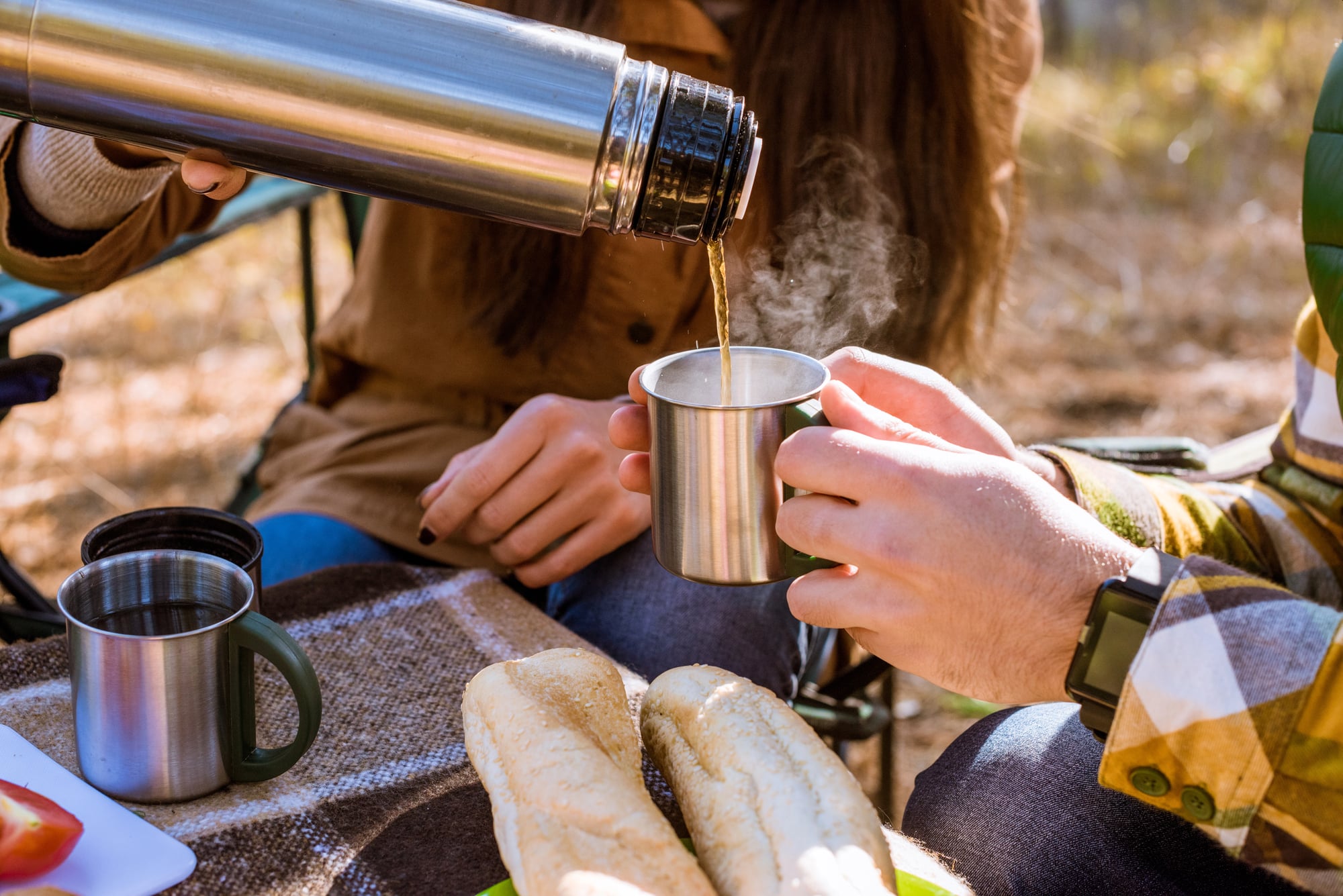
Hot coffee stayed hot for eight hours. Cold drinks stayed cold almost as long.
The vacuum-sealed glass liner was fragile enough that dropping a thermos usually meant buying a new one, but when it worked, it performed miracles of temperature preservation. Families packed multiple sizes — wide-mouth for soup, narrow for beverages, pint-sized for kids.
The ritual of unscrewing the cap and hearing that satisfying pop of released air meant refreshment was moments away. Gas station coffee was terrible, so smart travelers brought their own.
Auto Club Trip Planning
AAA didn’t just provide roadside assistance — they mapped your entire journey by hand, creating personalized route books that read like travel novels written specifically for your destination and your car’s capabilities (taking into account everything from mountain grades that might challenge your engine to construction zones that could add hours to your arrival time). Walk into any AAA office with your planned route and they’d generate a spiral-bound TripTik, a strip map that unfolded to show your exact path, mile by mile, with recommended stops and alternate routes highlighted in different colors.
But here’s what made it irreplaceable: real humans created these plans, people who knew that taking Highway 50 through Nevada in July required different preparation than the same route in October. The TripTik became your bible, consulted at every major intersection and updated with handwritten notes as you discovered reality didn’t always match the plan.
Paper Towels And Wet Naps
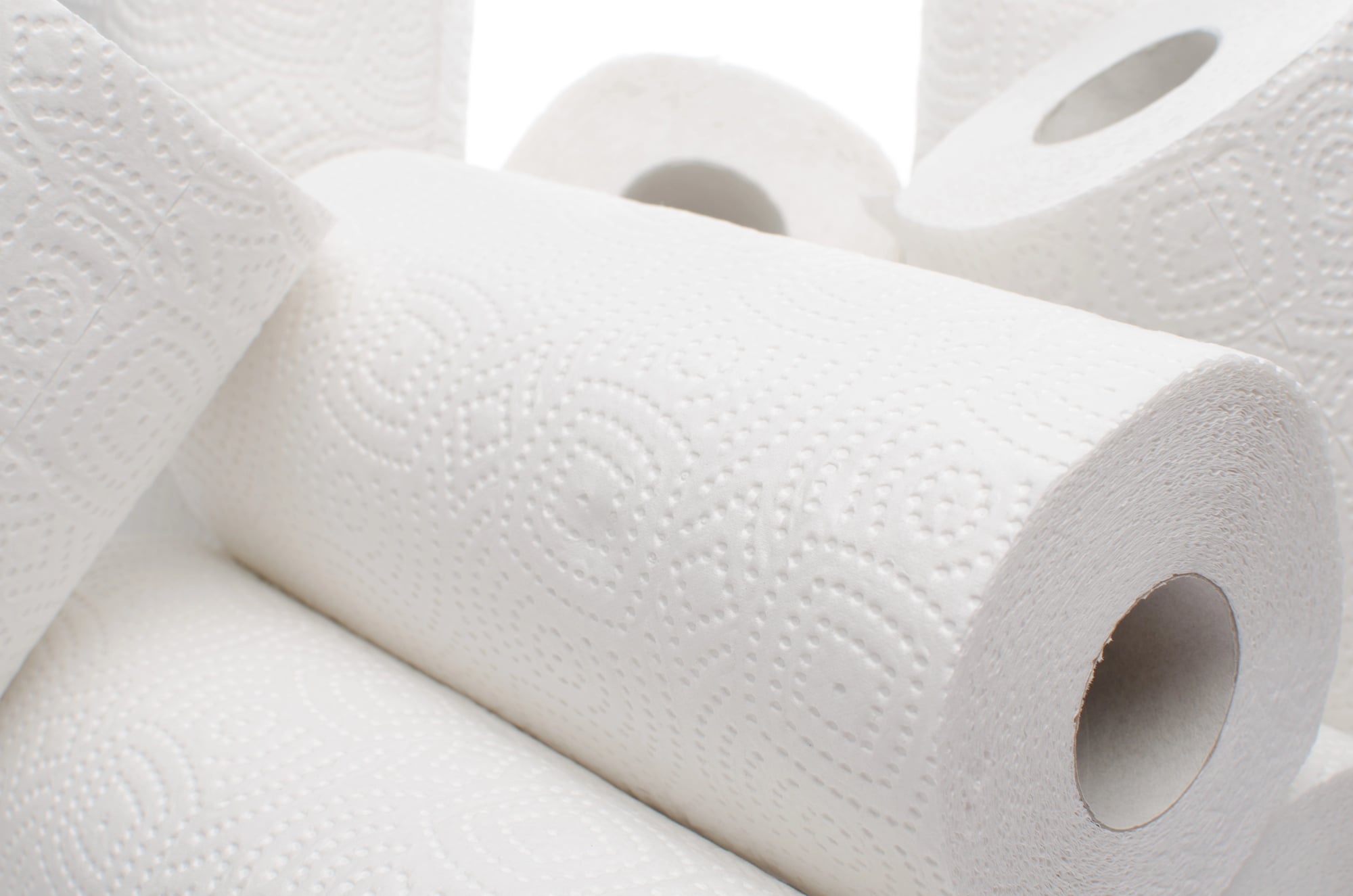
Spills were inevitable and cleanup was manual. A roll of paper towels wedged behind the driver’s seat handled everything from ketchup explosions to radiator overflow.
Wet naps came in those little foil packets that never opened cleanly but could remove sticky fingers and chocolate-covered faces. Smart parents bought industrial quantities of both because fast food restaurants didn’t automatically include napkins and gas station restrooms rarely provided adequate cleaning supplies.
Road trips were messy affairs, and cleanliness required advance planning.
Emergency Road Kit
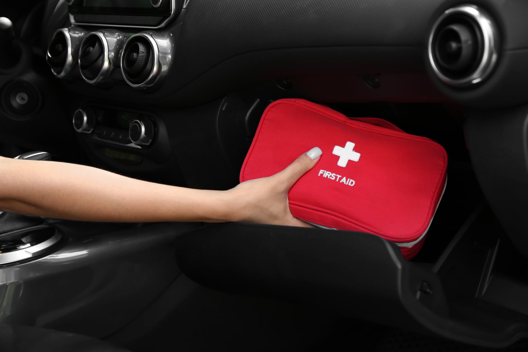
Breaking down meant solving problems yourself or waiting hours for help. Every trunk carried jumper cables, tire pressure gauge, emergency flares, and basic tools.
Flat tires were learning opportunities — kids watched parents jack up cars and wrestle with lug nuts, absorbing mechanical knowledge through necessity. The emergency kit lived in a toolbox or canvas bag, growing more comprehensive after each roadside crisis.
Duct tape, WD-40, spare fuses, extra oil — the collection reflected lessons learned the hard way on previous trips.
Automotive Paper Maps From Gas Stations
These were different from regular maps — promotional materials that gas companies gave away to encourage brand loyalty, featuring their station locations prominently marked alongside major highways and tourist destinations, which meant your route planning naturally revolved around Texaco or Shell stops because those were the landmarks most clearly visible on your free navigation aids. Each gas company printed their own version, so collecting different brands meant having multiple perspectives on the same geography, like comparing translations of the same book where certain details shifted depending on who was telling the story.
Service station attendants (back when full-service gas stations employed people who actually provided service) would mark recommended routes on these maps with ballpoint pens, creating personalized navigation tools that carried the weight of local knowledge.
Traveler’s Checks
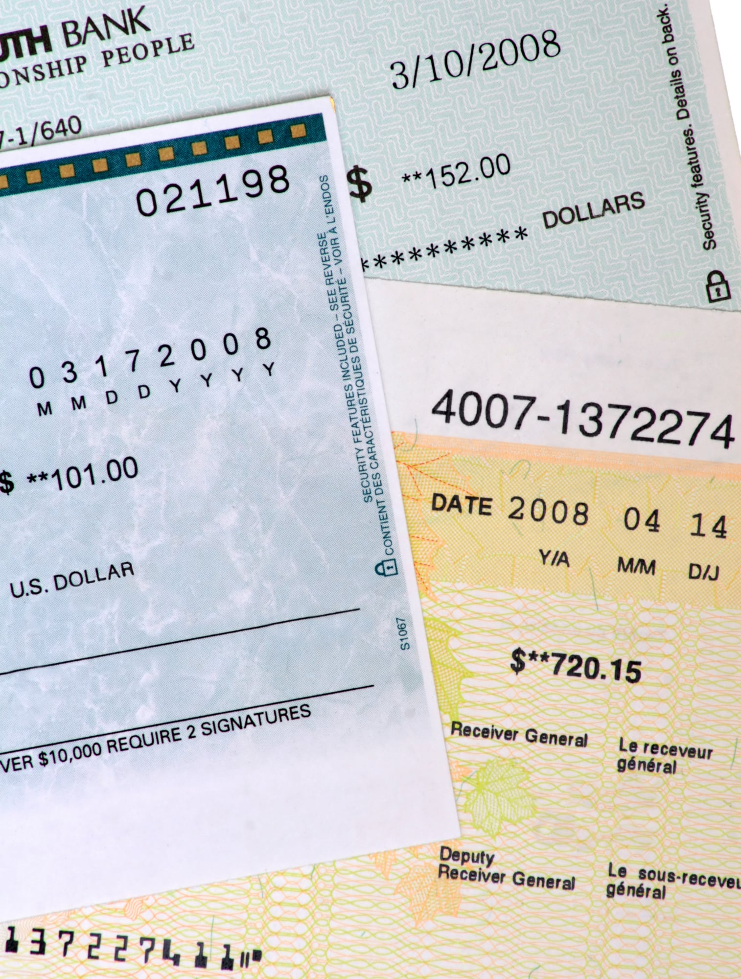
Credit cards weren’t universally accepted and carrying large amounts of cash was risky. Traveler’s checks solved both problems — they could be replaced if stolen and most businesses honored them.
The ritual involved signing each check twice, once when purchased and again when spending them. Parents kept them in separate envelopes, doling out spending money for souvenirs and emergency expenses.
Exchange rates were published in newspapers, and banks charged fees for everything. Managing vacation money required planning that kids today would find bewildering.
Physical Entertainment For Kids

Books, coloring supplies, travel games, and small toys filled an entire bag. Everything had to be compact enough for cramped quarters and engaging enough to last hundreds of miles.
Etch-a-Sketch, magnetic drawing boards, activity books — each item earned its space through proven boredom-fighting ability. Parents rationed new activities like prescription medicine, introducing fresh entertainment when restlessness reached critical levels.
The toy bag was strategy disguised as kindness, deployed with military precision to maintain backseat peace. No batteries, no charging cables, no internet connection required.
Road Food Cooler Planning
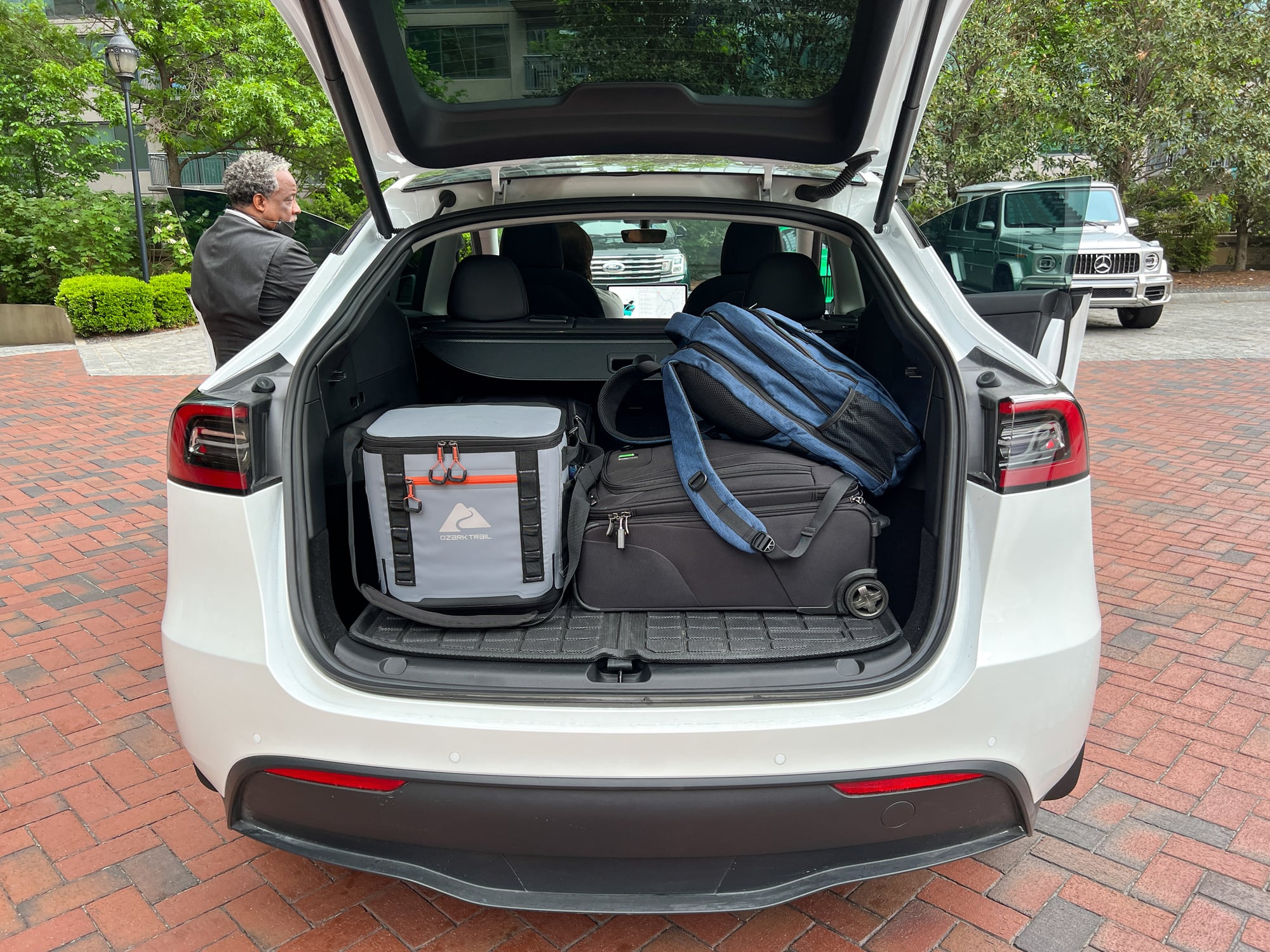
Planning meals for multi-day road trips required the organizational skills of a military quartermaster and the food safety knowledge of someone who understood that mayonnaise plus heat equals disaster (which meant menu planning revolved around non-perishable proteins and the strategic deployment of ice packs to create temperature zones within the cooler that could keep different foods safe for different lengths of time). So families learned to pack like they were provisioning an expedition: crackers and peanut butter on the bottom where it stayed coolest, drinks on top for easy access, and everything wrapped in layers of aluminum foil and plastic bags to prevent the inevitable leakage from turning lunch into soup.
And this elaborate food preparation wasn’t just about saving money — though it certainly did that — it was about survival, because finding decent food between major cities required either luck or local knowledge that most travelers simply didn’t possess.
The Long Drive Home
The return trip always felt different. Maps were marked with the previous week’s discoveries, coolers held melted ice and forgotten snacks, and cameras carried film that wouldn’t reveal its secrets until development.
Kids slept across backseats littered with the debris of adventure — ticket stubs, postcards, small rocks that seemed important enough to keep. These tools weren’t just objects; they were the infrastructure of memory-making in an analog world.
Each item demanded attention, required care, and occasionally failed at the worst possible moment. But they also created a particular kind of intimacy with travel that instant everything has largely erased — the weight of preparation, the acceptance of uncertainty, and the deep satisfaction that came from solving problems with nothing more than what you carried and what you knew.
More from Go2Tutors!

- The Romanov Crown Jewels and Their Tragic Fate
- 13 Historical Mysteries That Science Still Can’t Solve
- Famous Hoaxes That Fooled the World for Years
- 15 Child Stars with Tragic Adult Lives
- 16 Famous Jewelry Pieces in History
Like Go2Tutors’s content? Follow us on MSN.