The True Story Behind America’s Most Haunted Stretch of Highway
There are roads you drive without thinking — familiar exits, predictable curves, the same gas station you’ve stopped at a hundred times. And then there are roads that make you grip the wheel a little tighter, even when nothing has happened yet.
The stretch of highway running through the Cahuenga Pass in Los Angeles, the fog-soaked corridors of Route 2A in Massachusetts, the long dark miles of Route 666 through the Four Corners — these aren’t just roads. They’re places where geography, history, and human memory have compacted into something that feels almost alive.
America has many haunted highways, but none carries a story quite as layered, documented, and frankly strange as US Route 491, once known as US Route 666, slicing through the Navajo Nation across New Mexico, Colorado, Utah, and Arizona. This is not a campfire story. This is a road with a real past — and an unsettling one.
The Name Change That Wasn’t Just Superstition
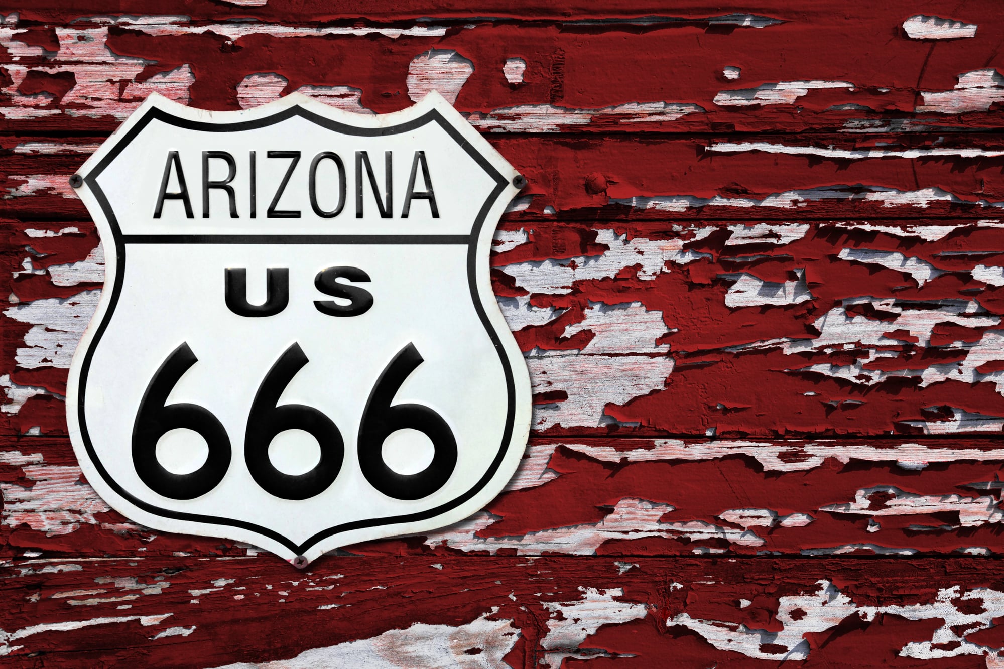
Route 666 was officially renamed US Route 491 in 2003. The decision came from a combination of practical and cultural pressure — the Navajo Nation had long requested the change, citing the road’s genuinely alarming accident rate and the spiritual significance of the number in their communities.
To be fair, renaming a highway is a bureaucratic undertaking that takes years; the fact that it happened at all tells you something about how seriously the concerns were taken.
The Corridor It Cuts Through
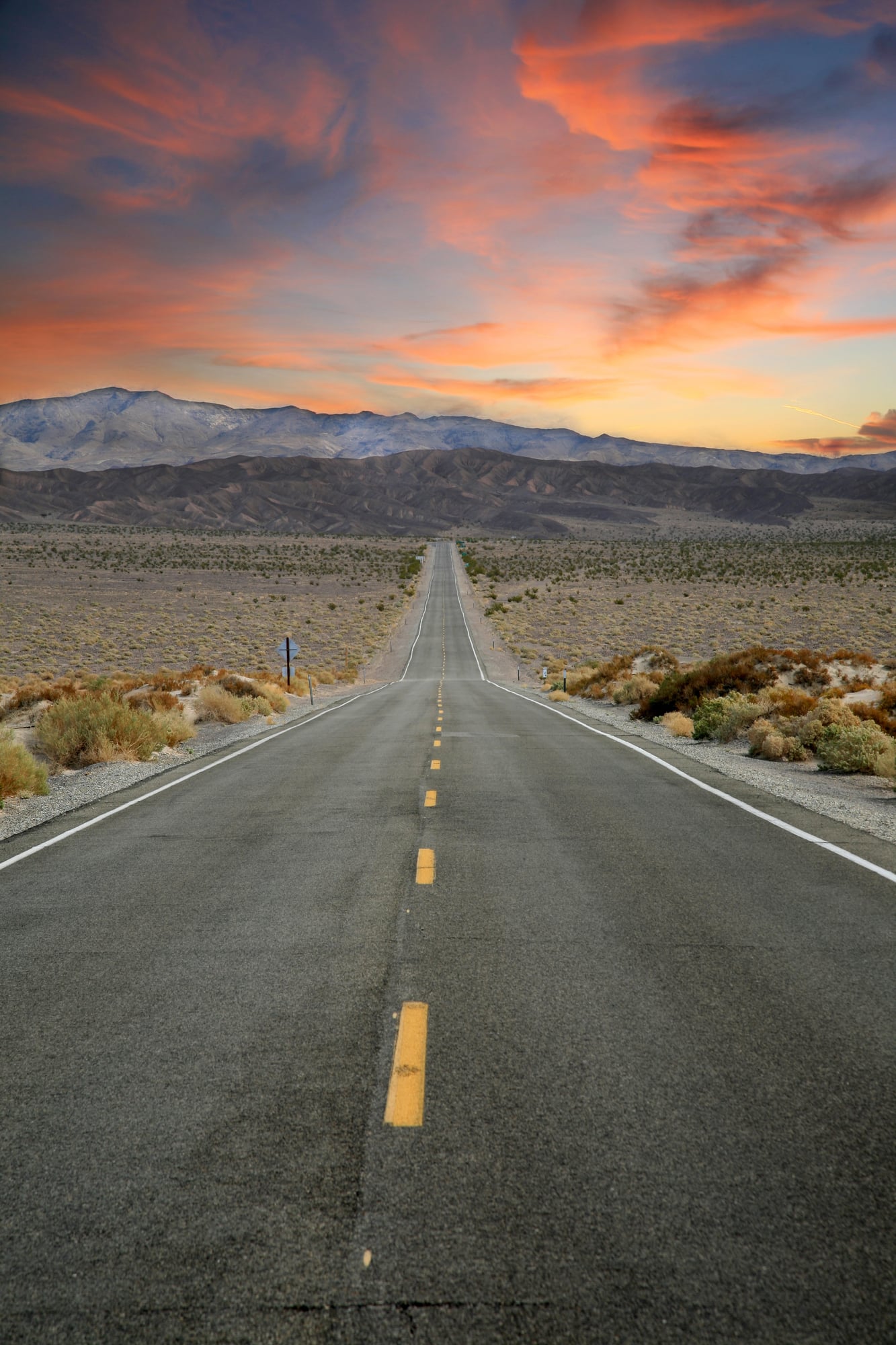
The highway runs through one of the most remote and geographically severe landscapes in the continental United States. Stretches of it push through high desert at elevations above 6,000 feet, where weather shifts without warning and the nearest town can be 40 or 50 miles in any direction.
The land itself — red rock, scrub, silence — has a quality that makes isolation feel less like a condition and more like a presence.
Navajo Nation sits across much of the region the highway traverses, shaping both its geography and cultural context.
The Accident History That Defies Easy Explanation

The fatality rate on this road, particularly through the New Mexico and Colorado segments, was statistically anomalous for decades before the rena
me. Drivers reported tire blowouts at inexplicable rates, sudden mechanical failures, and visibility problems that didn’t match reported weather conditions.
Investigators and state transportation officials acknowledged the numbers without arriving at a satisfying explanation for why this specific road outpaced comparable rural highways in deaths per mile.
What the Navajo People Have Always Known
The Navajo Nation’s relationship with this land is thousands of years old, and their oral tradition contains specific, detailed warnings about the road and the territory it crosses. This isn’t generalized folklore — it names specific areas, specific behaviors to avoid, and specific times of night when travel is considered dangerous not for logistical reasons, but spiritual ones.
Dismissing that as superstition requires ignoring a culture whose environmental knowledge has repeatedly turned out to be accurate long before outside observers caught up.
The Skinwalker Reports
No discussion of Route 491 avoids this, and it shouldn’t. For decades, travelers — not just locals, but truckers, state troopers, and entirely unremarkable passersby — have reported encounters with figures moving at unnatural speeds alongside the road, or animals behaving in ways that don’t align with any known species.
The Navajo concept of the skinwalker, a shapeshifting entity associated with dark medicine, is tied to this region specifically, and the consistency of reported encounters across unconnected witnesses is difficult to file neatly away.
The Truck Driver Accounts
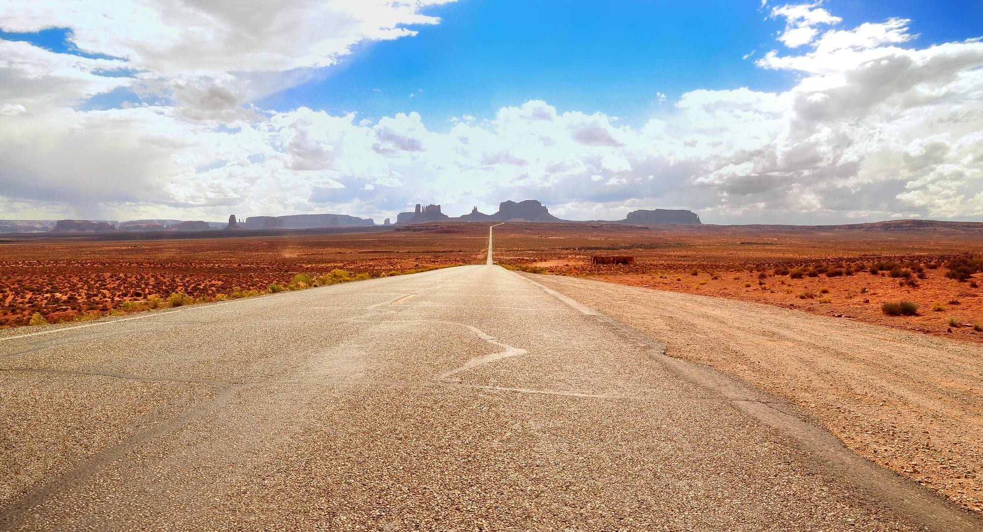
Truckers working the overnight haul through the Four Corners region have logged some of the most detailed and least theatrical accounts on record. One recurring description involves a figure keeping pace with an 18-wheeler at highway speed — not running alongside it, but matching it, sustained, for several hundred yards before vanishing.
These accounts come from people who drive for a living, who are professionally indifferent to roadside oddities, and who generally have little interest in telling ghost stories.
The Uranium Legacy Beneath the Road
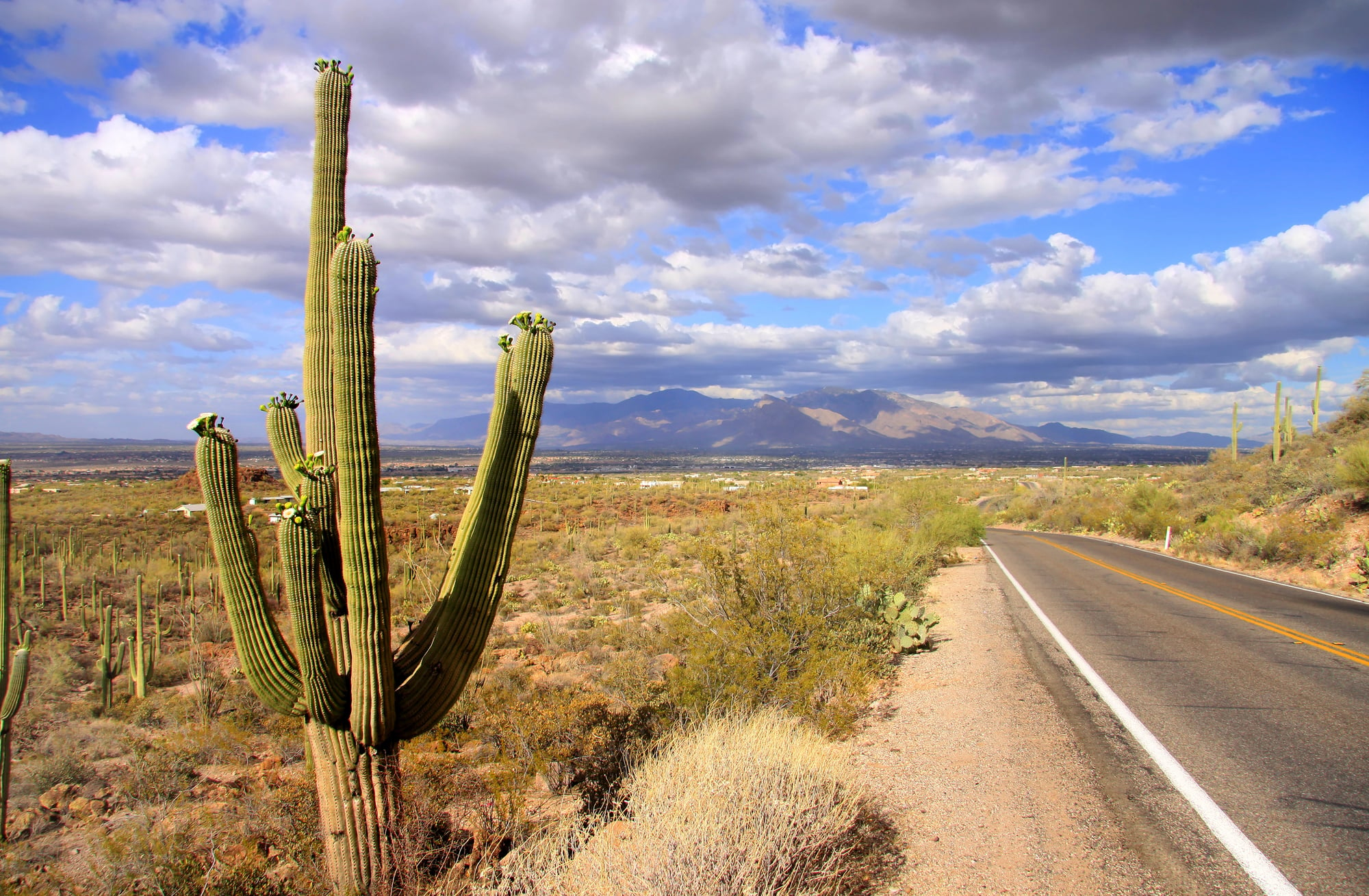
What gets overlooked in the haunted highway conversation is what’s literally underneath the land the road crosses. The Four Corners region was heavily mined for uranium during the Cold War era, and the Navajo Nation bore the environmental consequences with almost no federal protection or remediation for decades.
Abandoned mine shafts, contaminated water, and radiation exposure shaped entire communities — and that history of extraction and neglect left a wound in the landscape that isn’t metaphorical.
The road runs over land that was genuinely poisoned.
The Ghost Town of Gallup’s Outskirts

Just off Route 491’s southern terminus near Gallup, New Mexico, there are clusters of abandoned structures — trading posts, motels, and gas stations that died when the highway was rerouted or the economy contracted.
These aren’t dramatic ruins; they’re mundane ones, which somehow makes them worse.
A place where people used to stop, used to eat and sleep and continue on, now standing open to the weather like a sentence that stopped mid-word.
The Fog That Locals Don’t Trust
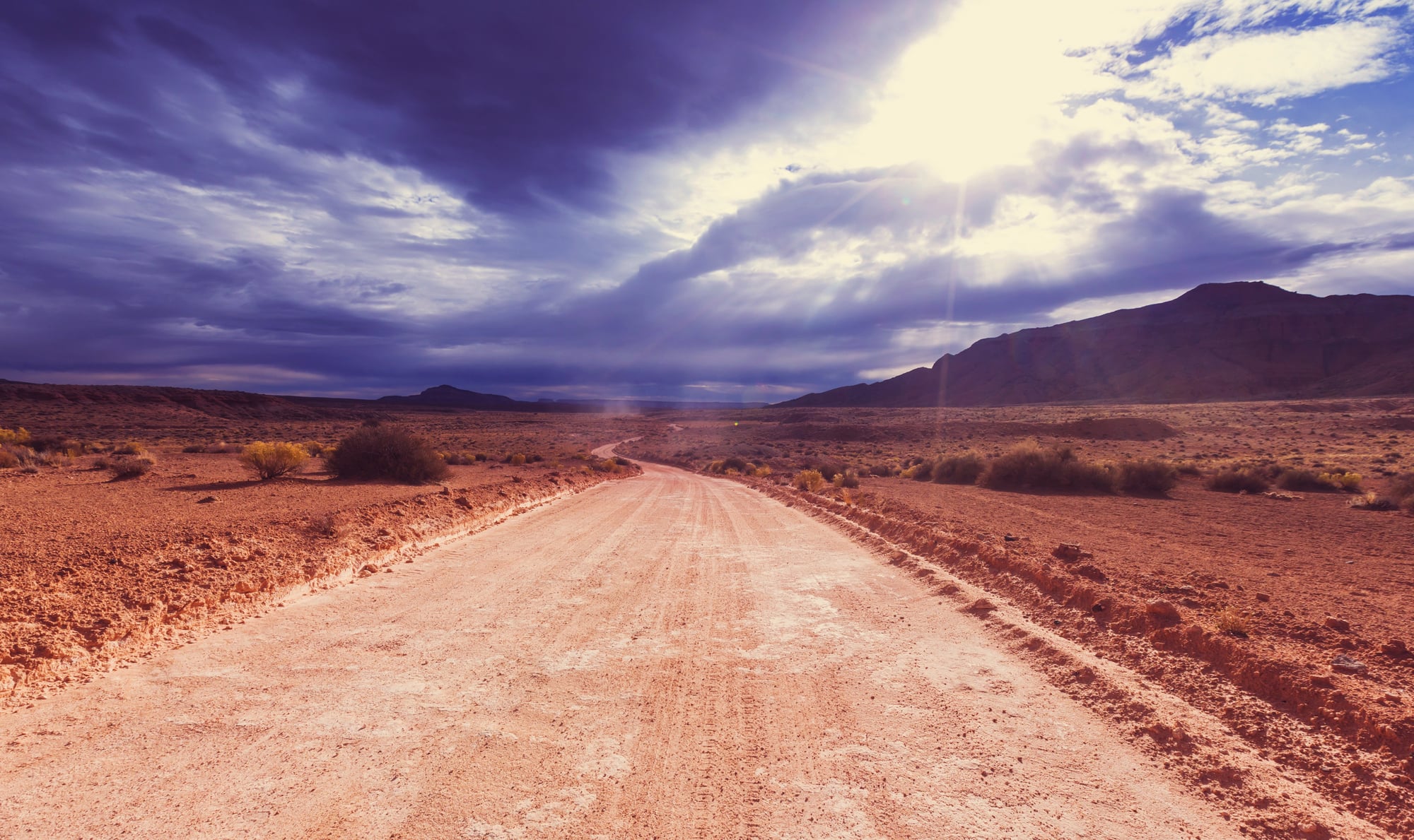
There is a specific kind of fog that rolls through the high passes along this road that locals have described — with enough consistency to be interesting — as behaving differently from normal fog. It appears suddenly, sits low and dense, and then lifts without transitioning.
State highway data from the 1980s and 1990s includes a disproportionate number of multi-vehicle accidents logged under “reduced visibility” on this corridor compared to similar elevation highways in the same region.
Whether the fog is cause, coincidence, or something stranger depends entirely on who you ask.
The Military Presence That Raises Questions

The road passes within range of several restricted military installations, including areas connected to early Cold War research that remain partially classified. There are documented accounts of unusual aerial phenomena reported by residents of communities along the route going back to the 1940s — lights, craft configurations, flight patterns that didn’t match anything in the civilian or acknowledged military inventory of the time.
The proximity of those sightings to restricted land is either relevant or it isn’t. The files haven’t been fully released to say which.
The Roadside Crosses and What They Mark

Along the shoulders of Route 491, there are more roadside memorial crosses per mile than almost any comparable stretch of highway in the American Southwest. Each one marks a death.
Seen in sequence, mile after mile, they function less like individual memorials and more like a record: a physical accounting of what this road has cost.
The Woman in White

Every haunted highway has a version of this story, but the one attached to Route 491 is older and more geographically specific than most. Reported sightings of a woman in white standing at the roadside — or walking in the road — date back to accounts from the 1930s.
She appears most frequently near the New Mexico–Colorado border segment, and the descriptions across decades of accounts are consistent in ways that are harder to dismiss than you might expect.
The Cattle Mutilation Connection
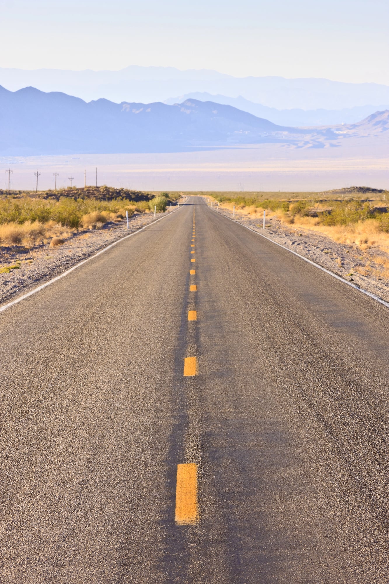
The Four Corners region, including land adjacent to Route 491, was the epicenter of documented cattle mutilation cases during the 1970s — a phenomenon that remains genuinely unexplained. Investigations by the FBI, state law enforcement, and independent researchers never produced a satisfying prosaic explanation.
Ranchers along the route reported losses with veterinary records showing surgical-level precision that predator activity doesn’t produce. The files are real. The cases are real. The explanation is still missing.
What Happens to Electronics on This Road
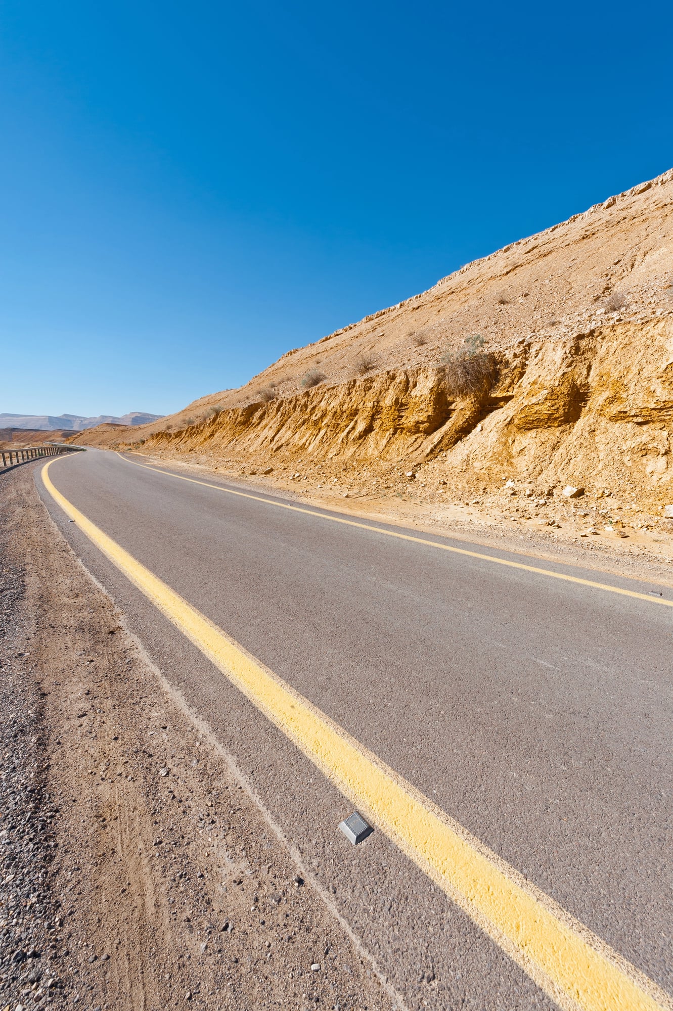
Anecdotal reports describe GPS units losing signal under clear skies, compasses behaving erratically, and dashboard electronics resetting for no diagnosable reason. Truckers and long-haul drivers report radio interference in segments of the road where geography doesn’t account for it.
Electromagnetic anomalies have been documented in parts of the region by researchers studying geomagnetic irregularities, suggesting at least a physical framework even if it raises further questions.
The Petroglyphs Along the Route
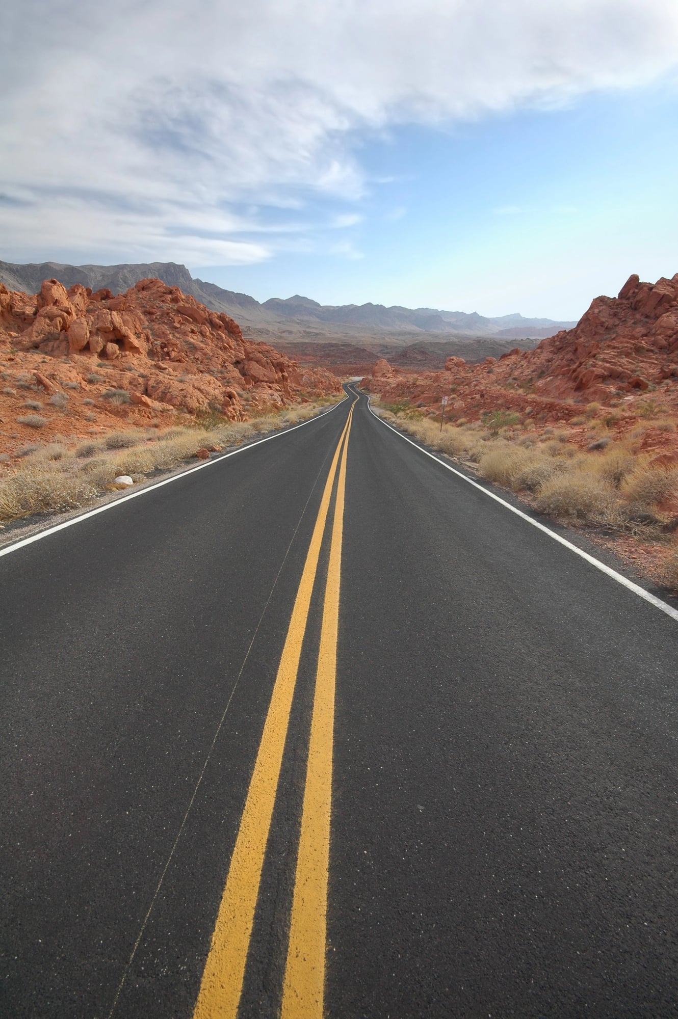
Near several segments of the highway, ancient petroglyphs carved into rock faces depict figures and symbols that Navajo and Pueblo scholars associate with warnings rather than stories. These aren’t scenic markers — they’re communications, left by people who understood this landscape intimately and chose to record something specific about it.
The idea that the strangeness attached to this road is new doesn’t survive an encounter with something carved into stone a thousand years ago.
The Night Driving Culture That Grew Around It
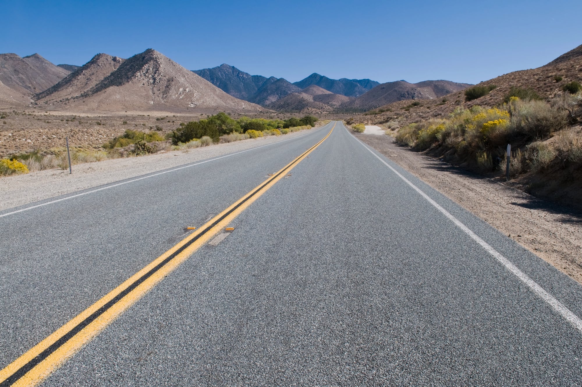
Among long-haul truckers and desert travelers, Route 491 at night occupies a specific category — it’s a road people talk about before they drive it.
There’s a community of accounts passed between drivers at truck stops and rest areas that functions less like ghost-story sharing and more like practical briefing. When people with no stake in drama agree on specifics, that’s worth attention.
The Researchers Who’ve Tried to Document It
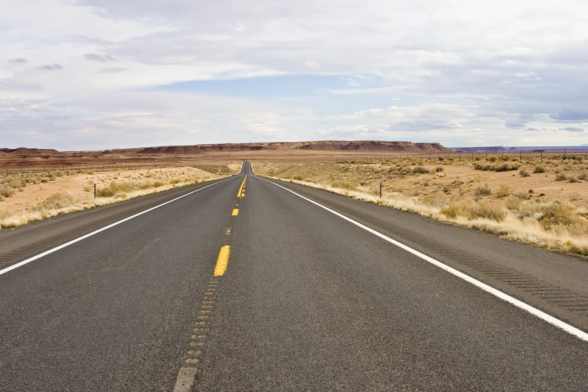
Over the past three decades, paranormal investigators, journalists, and folklorists have attempted to study the Route 491 corridor. The most credible work has focused on the intersection of trauma history, land use, electromagnetic geography, and oral tradition.
None have produced a single clean answer.
What the State Won’t Say Officially
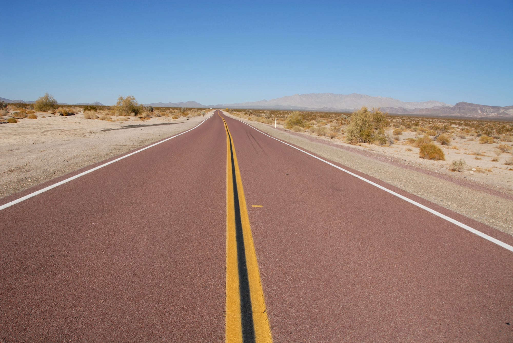
Transportation departments have acknowledged anomalous accident rates without attributing them to anything beyond road conditions and driver behavior. Comparable rural highways do not produce identical numbers, which leaves the explanation structurally incomplete.
The official record remains neutral — which is itself a kind of statement.
The Communities That Live With It Daily

People who live along Route 491 — in Shiprock, Farmington, Cortez, and nearby communities — are not consumed by its reputation. They drive it daily for work, school, and errands.
But even among skeptics, there are consistent cautions: segments avoided after dark, seasonal warnings, and practical rules passed down through lived experience rather than folklore.
The Road After the Rename

Renaming the highway did not change its character. Accident rates shifted somewhat after 2003, attributed to infrastructure improvements rather than the name change.
Reports of unusual encounters continued under the new designation. The road itself remained the constant variable.
Where the Highway Ends and the Questions Don’t
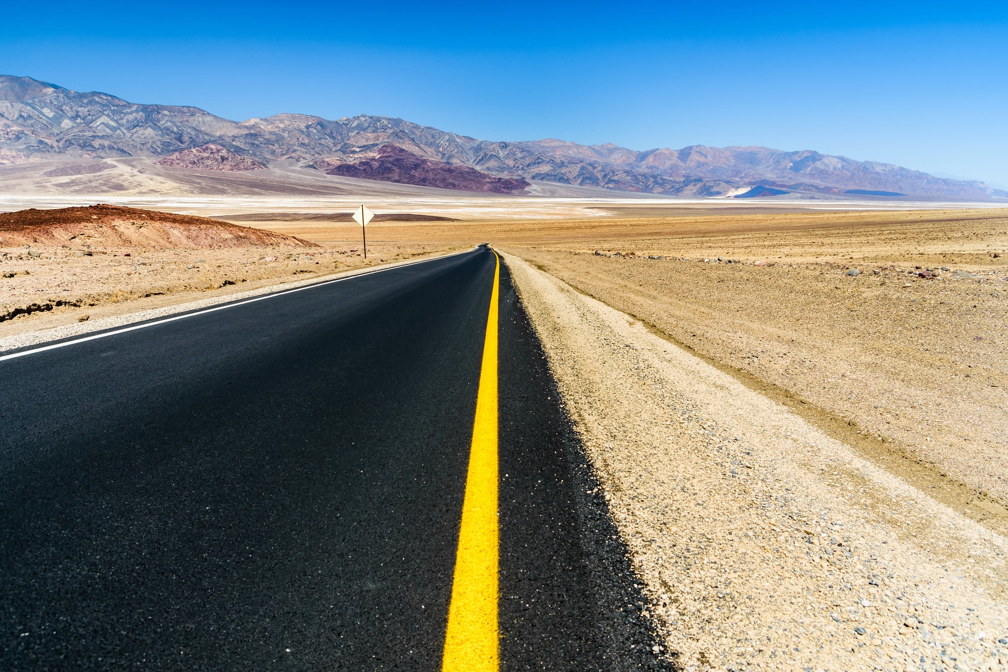
Route 491 terminates in Shiprock, New Mexico, named for the volcanic formation Shiprock — Tsé Bitʼaʼí, “rock with wings” — which rises dramatically from the desert floor nearby.
The formation is considered sacred in Navajo cosmology. The highway ending here feels less like coincidence than geography drawing a boundary.
The rock has been there for millions of years. The road has not.
The Long View That Changes Everything
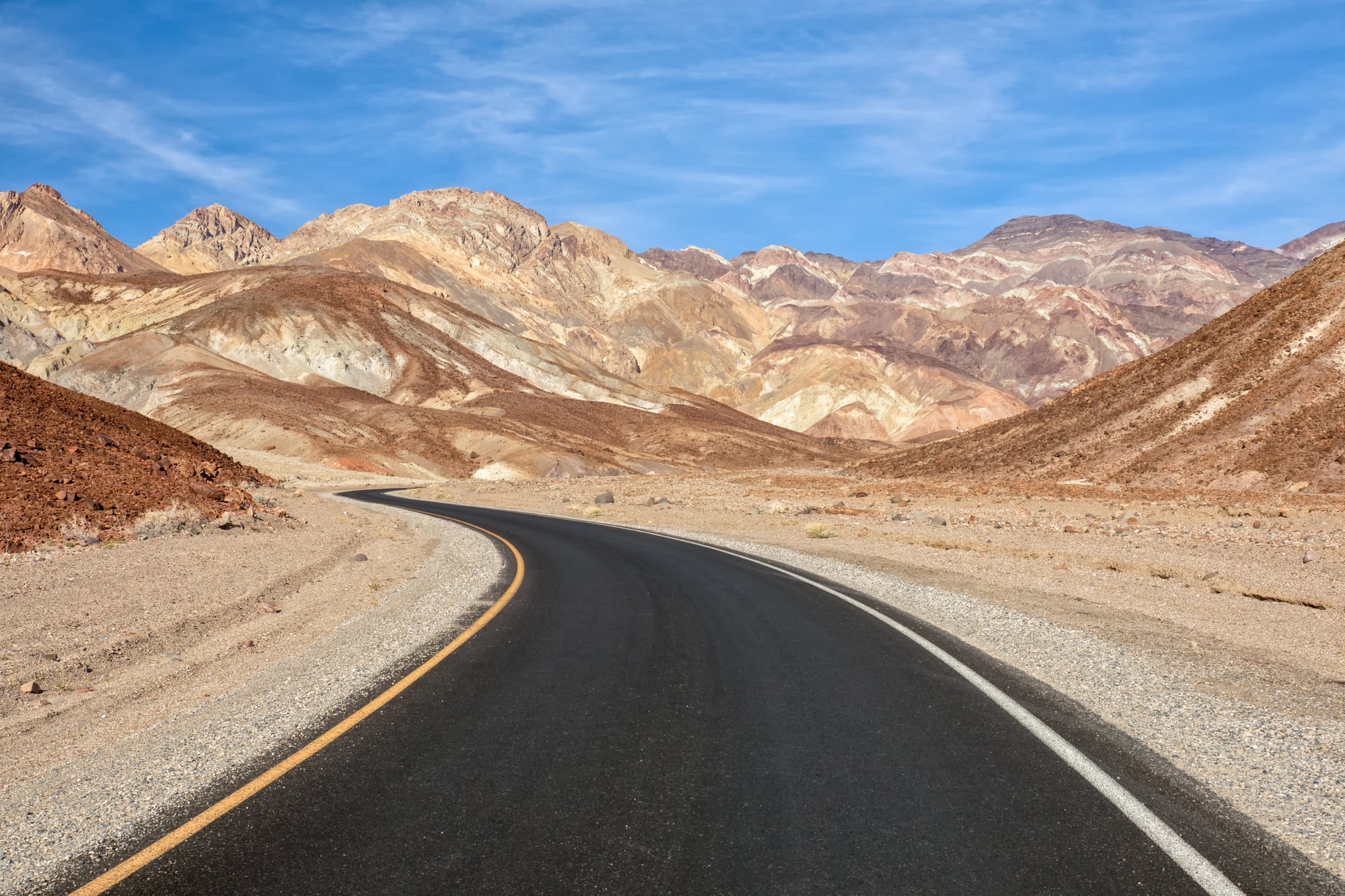
Route 491 resists normalization. Safety campaigns, renaming, and road improvements have not eliminated its reputation or its anomalies in public reporting.
Whether that points to something extraordinary or simply a convergence of harsh geography, history, and human perception is still unresolved.
When the Map Runs Out
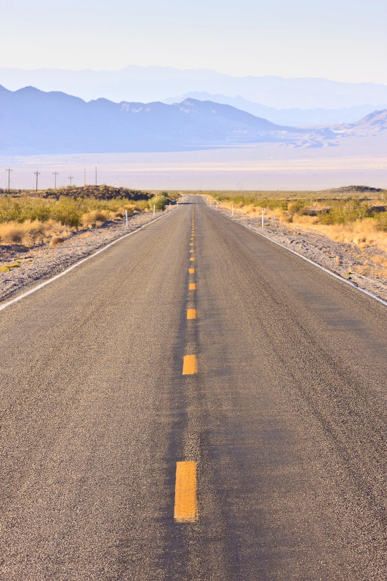
Some places accumulate reputation the way deserts accumulate windblown sand — slowly, layer by layer, until the weight of it becomes part of the terrain itself.
Route 491 is one of those places. You don’t need to accept anything supernatural to notice that it behaves like a place where multiple histories overlap in ways that don’t fully resolve.
Drive it in daylight and it looks like a road.
Drive it at night and it starts to feel like something else is watching it too.
More from Go2Tutors!

- The Romanov Crown Jewels and Their Tragic Fate
- 13 Historical Mysteries That Science Still Can’t Solve
- Famous Hoaxes That Fooled the World for Years
- 15 Child Stars with Tragic Adult Lives
- 16 Famous Jewelry Pieces in History
Like Go2Tutors’s content? Follow us on MSN.