28 Old Roads Erased From Maps After the Highways Opened
The American road map has been erased and rewritten repeatedly, with entire highways vanishing from official designations as newer routes superseded them. What once appeared as vital arteries connecting the nation’s towns and cities disappeared into obscurity, relegated to local roads or abandoned altogether.
The transformation happened not all at once but gradually, as federal and state authorities downgraded, decommissioned, and renumbered the infrastructure that connected America’s past.
US Route 66
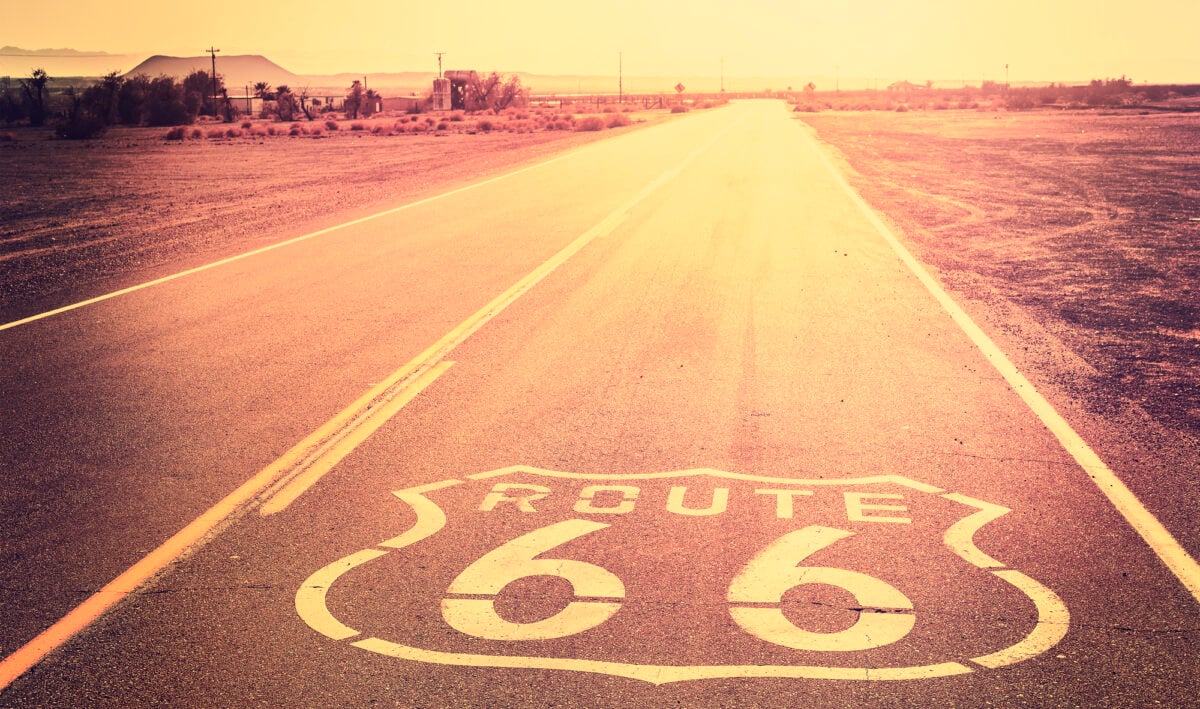
The most famous decommissioned highway, Route 66 connected Chicago to Santa Monica, California across 2,448 miles spanning eight states. Officially erased from maps on June 27, 1985, the Mother Road had been gradually superseded by Interstate 40 across the Southwest starting in 1956.
While segments survive as historic routes and local roads, the federal designation vanished completely after 59 years of service.
The Lincoln Highway
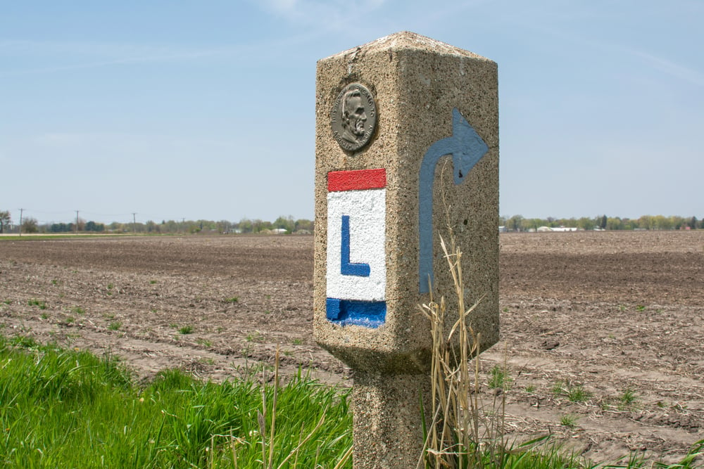
America’s first transcontinental automobile highway, the Lincoln Highway, stretched from Times Square in New York to Lincoln Park in San Francisco starting in 1913. When Interstate 80 was constructed across nearly the same route beginning in 1956, the Lincoln Highway gradually lost its significance.
Though portions survive today as historic landmarks, its unified identity as a major road system disappeared from modern maps as the Interstate designation took precedence.
US Route 61 in Minnesota
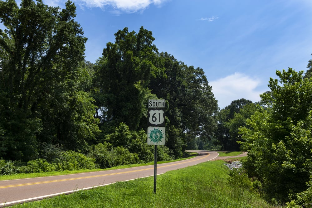
Route 61 originally connected New Orleans to Minnesota, but when newer highways replaced it, the Minnesota Department of Transportation downgraded the section from Duluth northward to the Canadian border to state highway status.
The route that once carried through traffic to distant places became merely Minnesota 61, a local connector.
Michigan State Highway 21
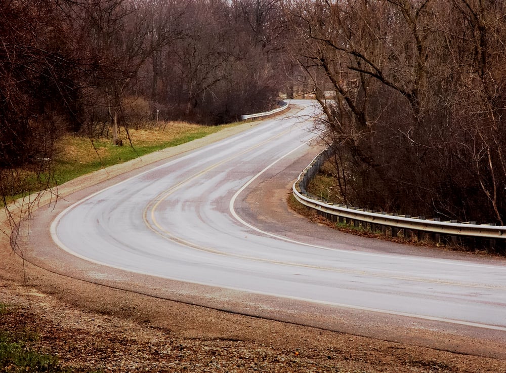
Michigan’s State Highway 21 was split and partially decommissioned when Interstate 69 supplanted much of its route. The remaining segments of what was once a continuous state route now serve primarily as local access roads through communities that the interstate bypassed.
Arizona State Highway 79
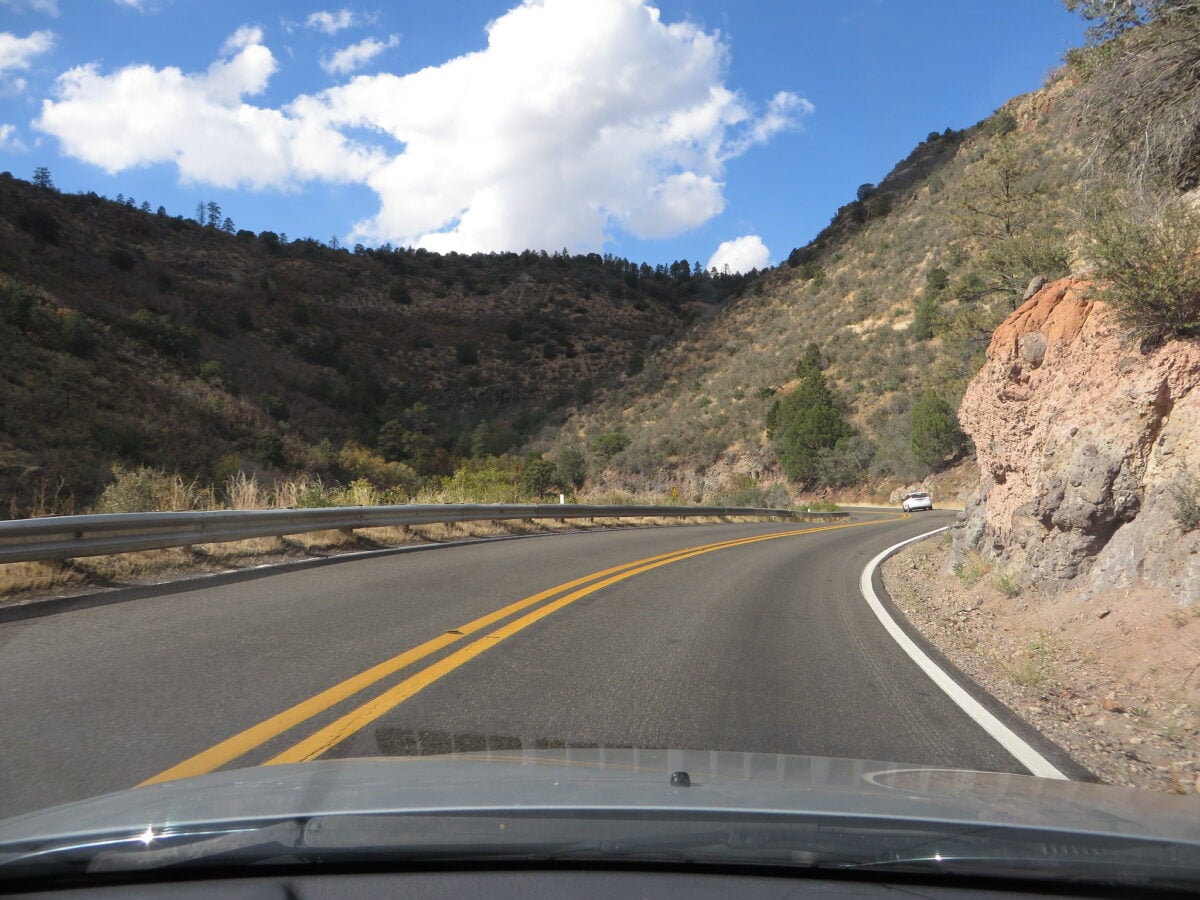
This Arizona route was completely decommissioned when Interstate highways made it redundant. Unlike routes that survive as local roads, Arizona State Highway 79 was effectively erased, its purpose rendered obsolete by newer, faster alternatives that made the old path irrelevant.
Arizona State Highway 62
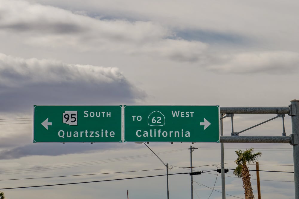
When a copper mine in Chloride, Arizona closed, the economic purpose of the town along Arizona State Highway 62 evaporated. The state eventually downgraded and abandoned the route entirely, turning it over to Mohave County government, and it disappeared from state maps.
US Route 21
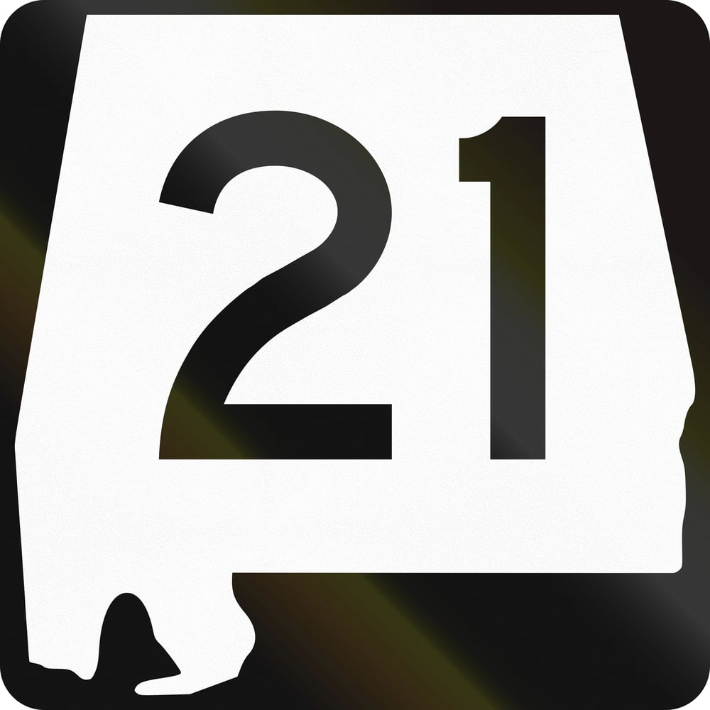
Long segments of US Route 21 were decommissioned when Interstate 77 was constructed through the mountains of Virginia. What was once a major thoroughfare across the Southeast became fragmented county highways, its federal designation stripped away.
US Route 25
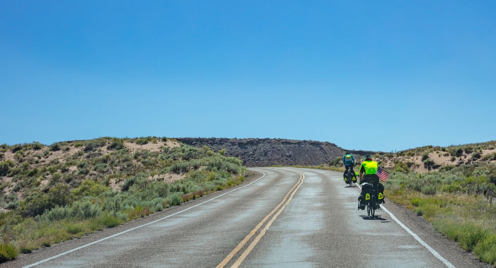
Like US 21, portions of US 25 vanished from maps as Interstate highways provided faster, safer alternatives. The route that once unified stretches of Tennessee, Kentucky, Ohio, and Michigan became scattered local roads, no longer worthy of a federal designation.
US Route 27
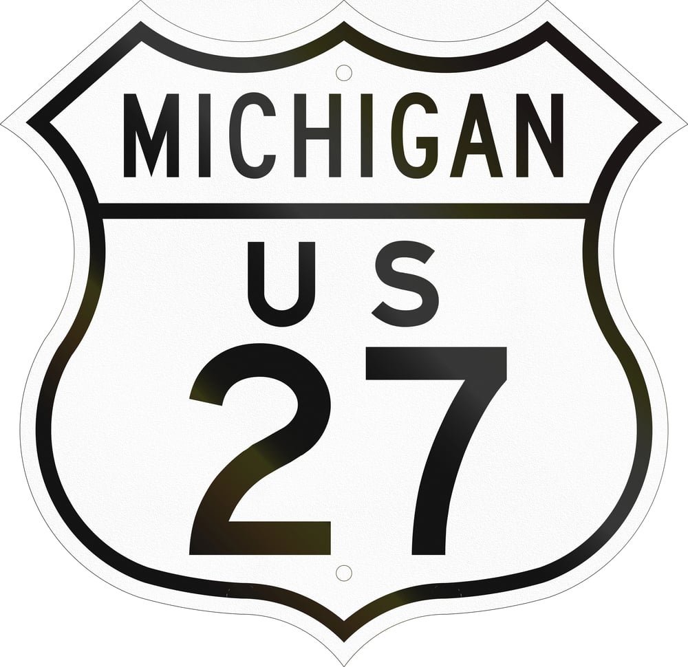
Significant sections of US 27 disappeared from official highway maps when Interstate 75 and other freeways replaced it as the primary north-south corridor. The route that once connected travelers across multiple states was reduced to county roads and local streets.
US Route 32
The original US Route 32 between Chicago and Omaha was entirely incorporated into the extension of US Route 6, which eventually reached California. This renumbering erased Route 32 from maps, absorbing its identity into a longer designated route.
US Route 38
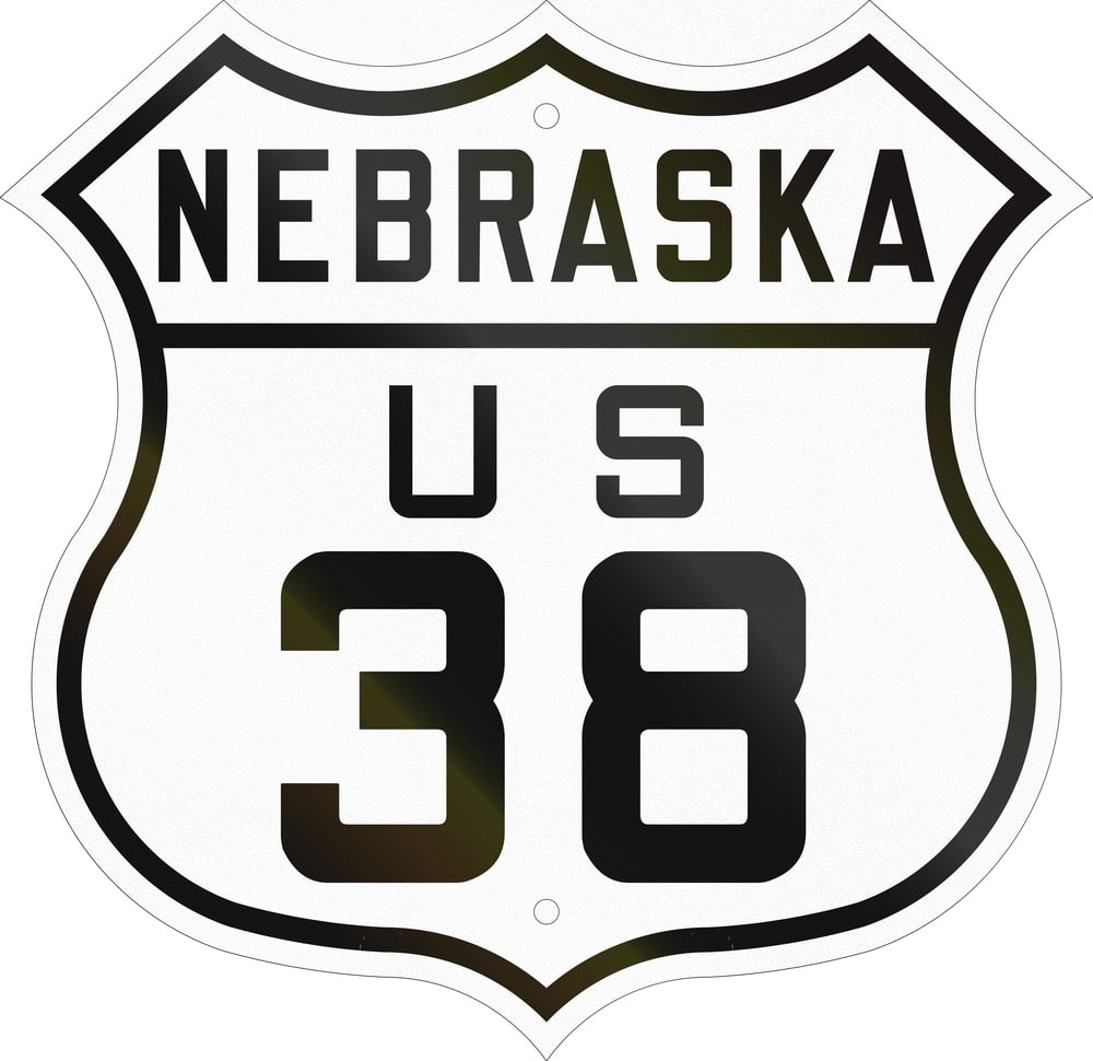
Running between Omaha and Denver, US Route 38 was decommissioned when Interstate 76 and other freeways made the old route redundant. The highway disappeared from maps, its former path now local roads serving rural communities.
US Route 104 in New York
Once a major route between Rochester and Niagara Falls, US Route 104 was downgraded to state route status as Interstate 390 provided a faster alternative. The heavily traveled road lost its federal designation despite remaining in active use.
Pennsylvania Route 611 (formerly US 611)
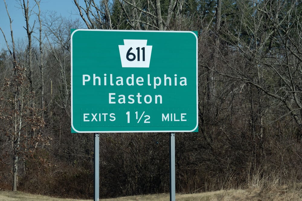
US Route 611 was downgraded to Pennsylvania Route 611 because it existed entirely within Pennsylvania and had become redundant with other routes. What was once a federal highway designation became merely a state route, though the road itself remains traveled.
The National Pike
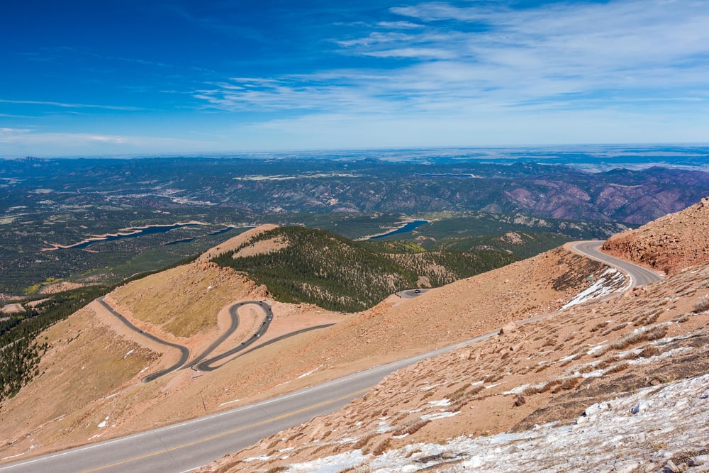
The Old National Pike, which once stood as America’s first federally funded road project, was gradually replaced by Interstate 40 and other highways across its route through Maryland and beyond. What was once the nation’s most important east-west corridor became scattered local roads known only by fragmentary historic names.
The Yellowstone Trail
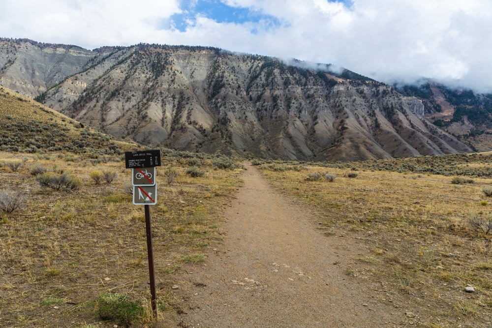
One of the named auto trails predating the numbered highway system, the Yellowstone Trail connected the Northeast to Yellowstone National Park. When the numbered route system emerged in 1926, the Yellowstone Trail’s unified identity was split among various US Routes, and the original trail name effectively disappeared from maps.
The National Old Trails Road
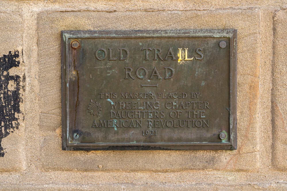
Another early auto trail established before the federal highway numbering system, the National Old Trails Road connected Washington, D.C. to Los Angeles. When federal Route numbers replaced named trails, this pioneering transcontinental route lost its unified name and was absorbed into various US Routes including US 66.
California State Route 7 (Mojave Desert Route)
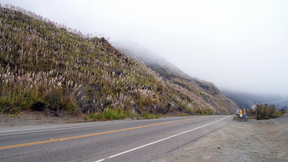
This historical California route through the Mojave Desert was absorbed into US Route 6 during the Great Renumbering of 1964. California State Route 7 ceased to exist as a distinct designation, its route numbers changed and renumbered into larger federal highways.
Auto Trails of the 1910s and 1920s
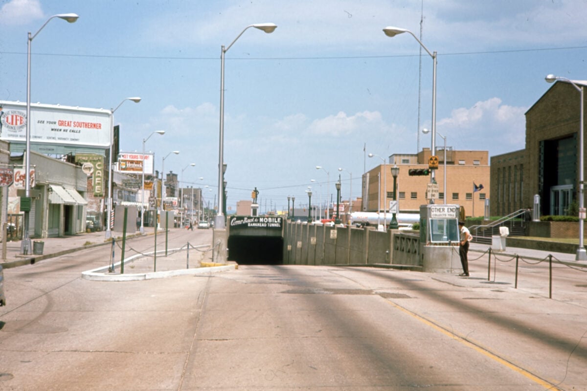
Before the numbered highway system was established in 1926, at least 250 named auto trails crossed America, including the Bankhead Highway, Pikes Peak Ocean to Ocean Highway, and Dixie Highway. Nearly all vanished from maps and public consciousness when the numbered system replaced them with federally designated routes.
Business Route Designations

The business routes created to direct traffic through towns while bypassed highways carried through traffic now often exist only as local roads with minimal signage. Many business route designations have been removed from maps entirely as bypasses aged and economies shifted.
US Route 15 in New York
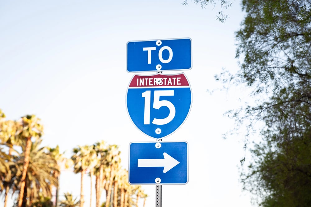
US Route 15 was downgraded to New York State Route 15 north of Interstate 390 after the freeway provided a faster alternative. The federal designation was stripped away, leaving only a state route number for what was once a through highway.
US Route 48 in Maryland
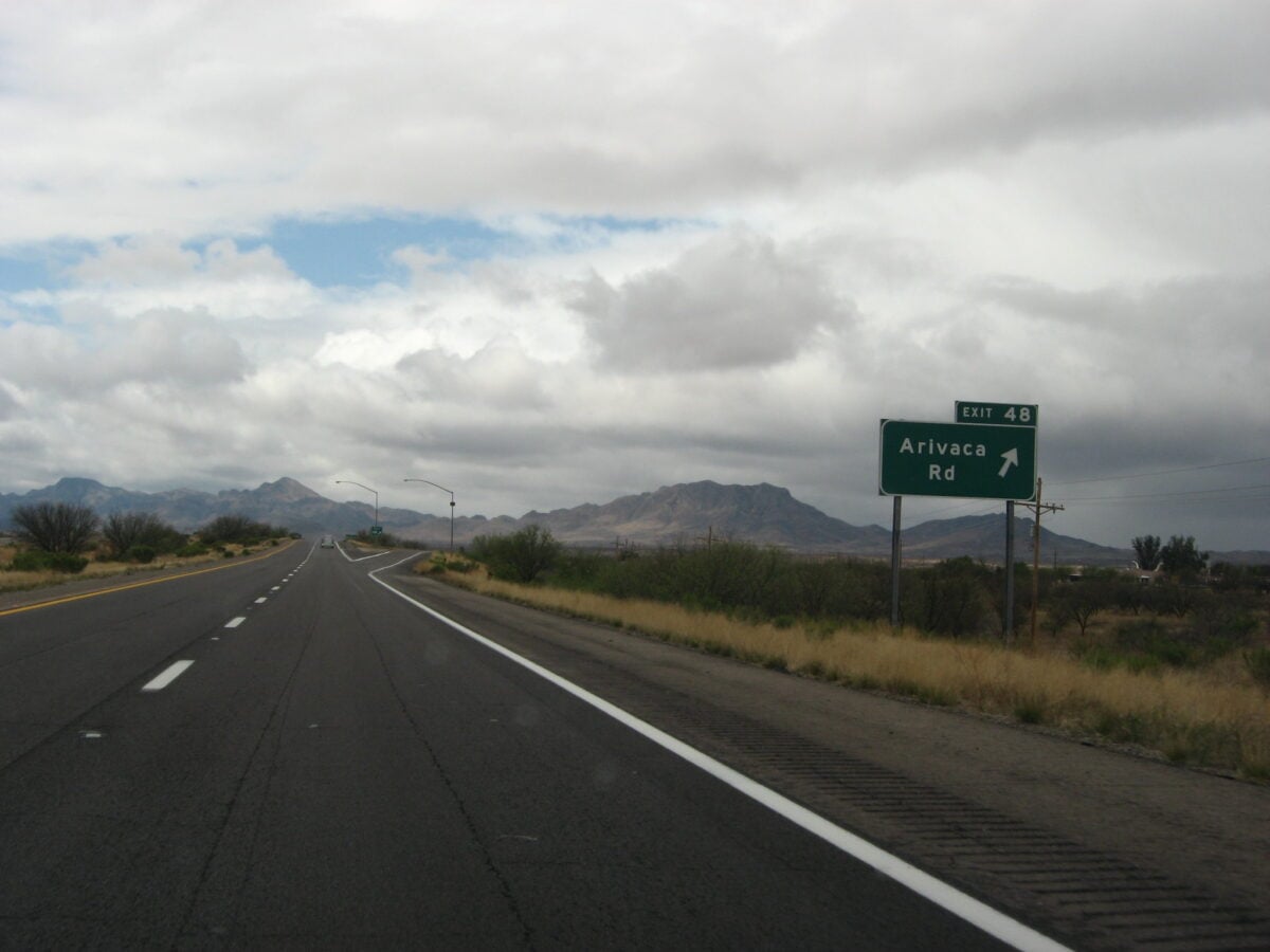
US Route 48 in western Maryland was incorporated into Interstate 68 and effectively disappeared from maps. The old highway’s right-of-way was largely obliterated by the new freeway, and the old designation vanished from official highway maps.
The Lincoln Highway Colorado Loop
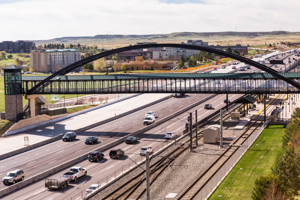
In 1915, the original Lincoln Highway’s “Colorado Loop” routing through the state was abandoned in favor of a more direct path through Wyoming and Utah. The old loop route disappeared from maps entirely, surviving only in historical records and the memories of early automobile travelers.
The Santa Fe Loop in New Mexico
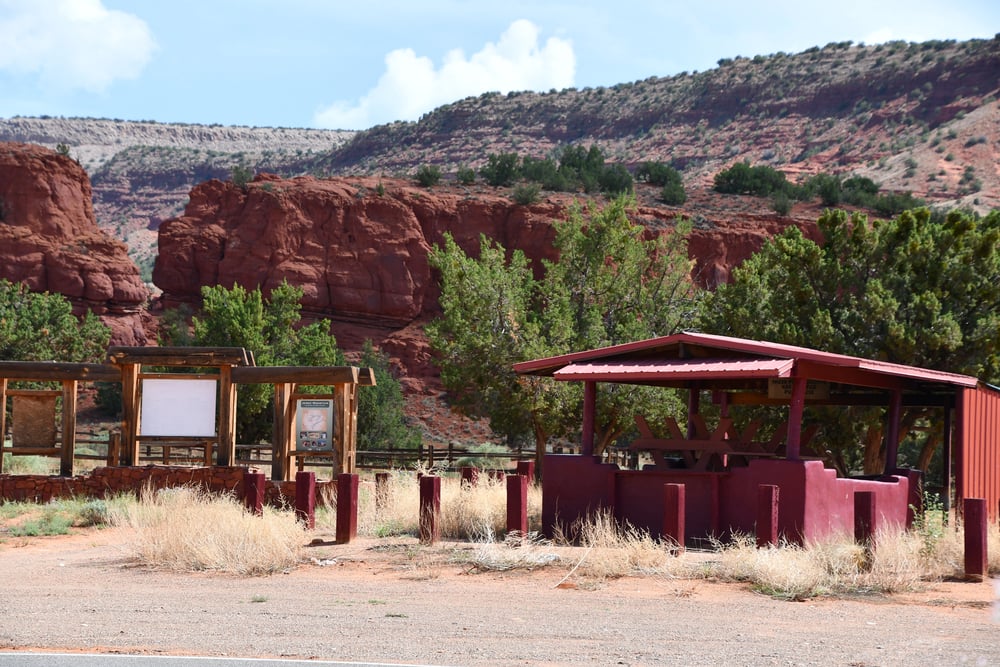
Originally part of US Route 66, a loop through Santa Fe was cut off to shorten the through-route and improve travel times. The Santa Fe Loop was removed from official Route 66 designations, leaving it as a local tourist route rather than a federal highway.
County Roads that Were Once State Highways
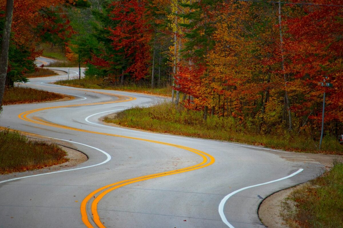
Across America, county road systems absorbed hundreds of former state highways as economic and settlement patterns changed. These roads, designated only by county numbers or local names, represent highways that lost their official status and disappeared from state maps.
Portions of US Route 10

When Interstate 90 was constructed across the northern United States, much of the former US Route 10 west of West Fargo, North Dakota was completely decommissioned. The stretch that had once connected the Atlantic to the Pacific was simply erased from maps.
The Great Renumbering of California in 1964
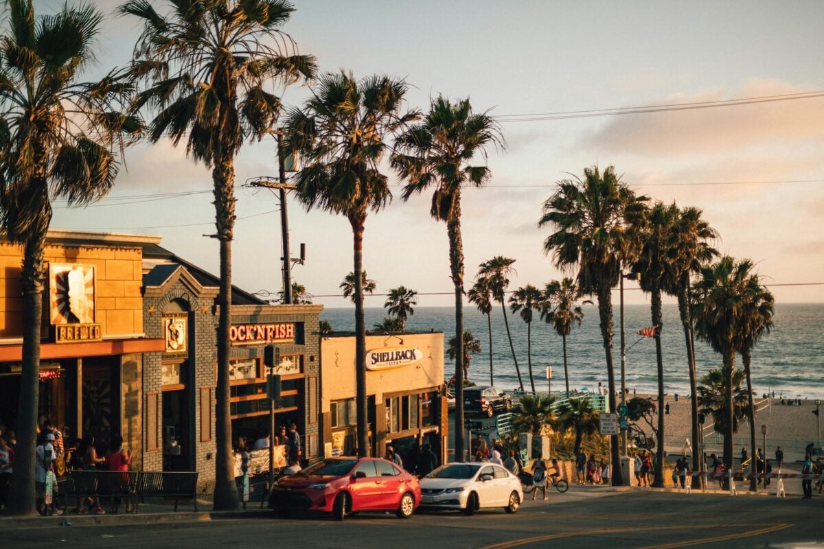
In a single comprehensive reorganization, California’s state highway system was completely renumbered, erasing dozens of historic routes from maps overnight. Routes were consolidated, renamed, and renumbered, and the old designations disappeared into historical records.
US Route 199
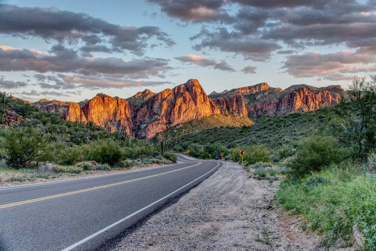
This route, which had briefly existed in California as an extension of US 6, was decommissioned in 1964 along with its sister routes US 299 and US 399. All three disappeared from maps completely, replaced by California state route designations.
The Disappearance of Directional Naming

Before the numbered system, roads were often known by directional names like “Old Western Route” or “Northern Connector.” When highways received official numbers, these descriptive names vanished from maps, replaced by abstract numerical designations that carried no geographic meaning.
The Conclusion: The Erased Geography

The transformation of America’s road system represents not just engineering progress but cultural amnesia. Entire routes that shaped settlement patterns and regional economies disappeared from maps faster than most people could notice.
The roads themselves often remain, traveled by locals who know no other name, but their official identities were erased by progress, leaving behind only scattered historical markers and the fading memory of a different America.
More from Go2Tutors!

- The Romanov Crown Jewels and Their Tragic Fate
- 13 Historical Mysteries That Science Still Can’t Solve
- Famous Hoaxes That Fooled the World for Years
- 15 Child Stars with Tragic Adult Lives
- 16 Famous Jewelry Pieces in History
Like Go2Tutors’s content? Follow us on MSN.