28 Maps That Turned Out to Be Wrong
Cartography demands precision, yet maps are ultimately representations of authority, not objective truth. Mapmakers constructed geographies based on fragmentary exploration reports, theoretical assumptions, and occasionally pure fabrication.
These errors persisted because maps possessed an authority that was difficult to challenge—once a mountain range appeared on a published map, subsequent cartographers copied it without independent verification. Some phantom features endured for centuries before explorers definitively proved their non-existence.
The mistakes reveal how authority itself, encoded in ink on paper, can establish falsehoods as widely accepted truth.
The Mountains of Kong (West Africa, 1798-1889, 91 Years)
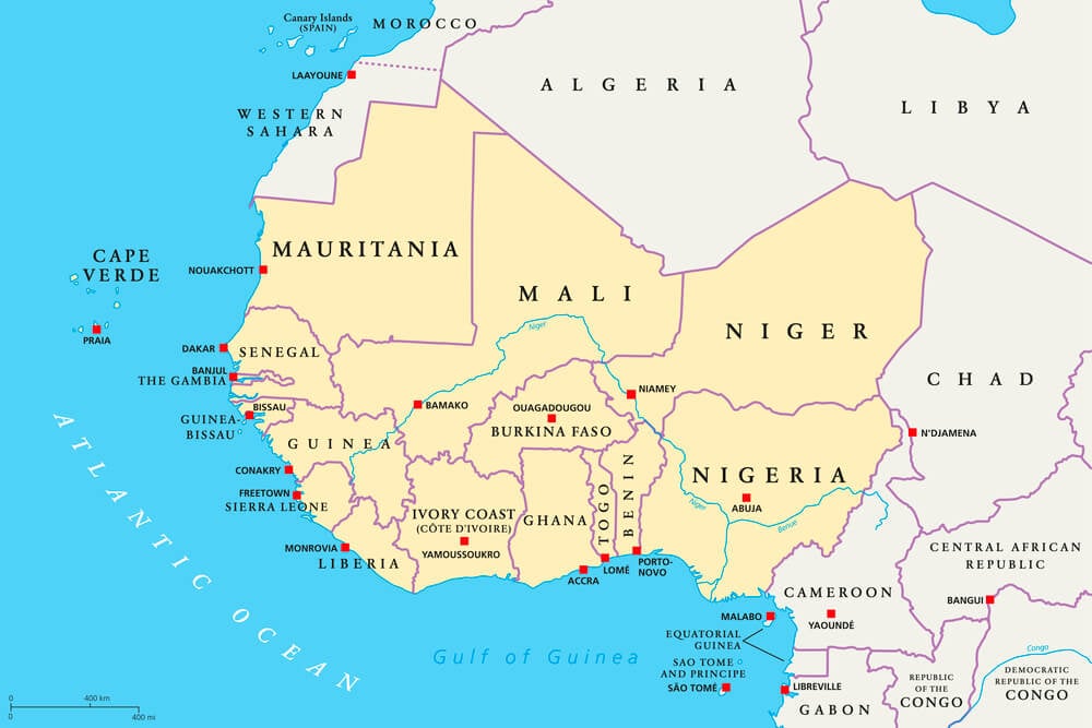
Cartographer James Rennell included the Mountains of Kong on his 1798 map of West Africa, basing the feature on explorer Mungo Park’s reports. The fictional east-west mountain range supposedly began near the source of the Niger River and stretched across the continent for thousands of miles.
Successive cartographers expanded and embellished the mountains across nearly a century of maps—one cartographer even added snowy peaks. In 1889, French officer Louis-Gustave Binger traveled the Niger and conclusively proved the mountains did not exist.
The phantom range disappeared from maps only then, after 91 years of persistent cartographic fiction.
California as an Island (1510-1747, 237-Year Persistence)
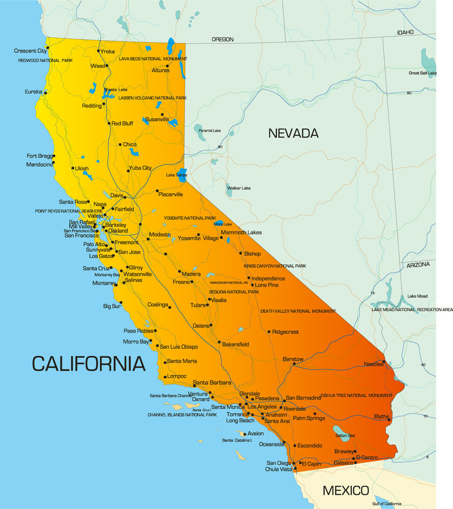
A 1510 Spanish novel described California as an island paradise of women, influencing cartographers to depict the territory as separated from the North American mainland. The error persisted for 237 years, appearing on maps throughout the sixteenth, seventeenth, and eighteenth centuries.
King Ferdinand VI of Spain finally decreed in 1747 that California should no longer be displayed as an island—the error had become so entrenched that royal decree was necessary to correct cartographic practice.
Terra Australis (The Great Southern Continent, 1520-1770)
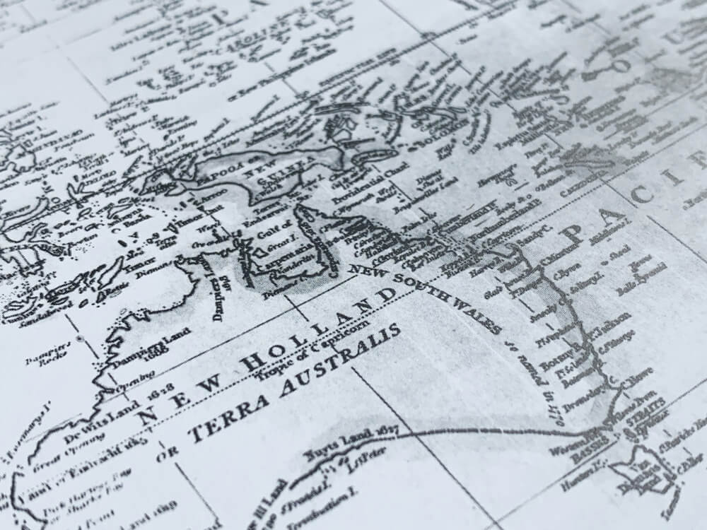
Ancient Greeks hypothesized that a vast southern landmass must exist to balance the northern continents. This theory persisted through centuries; explorer Ferdinand Magellan believed he sighted Terra Australis in 1520.
For 250 years, maps depicted this imaginary continent larger than the actual Antarctica. Nineteenth-century maps recorded hypothetical populations at over 50 million inhabitants—an entirely fabricated continent complete with invented demographics.
The Mountains of the Moon (East Africa, Fictional Extension)
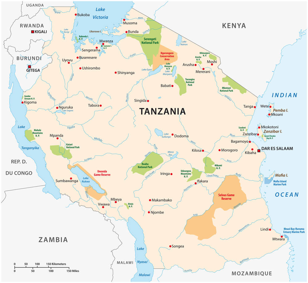
As Terra Australis faded, the Mountains of the Moon were depicted as a mythical range in East Africa, supposedly in the vicinity of Lake Victoria. Nineteenth-century maps combined the Mountains of Kong with these equally fictional Mountains of the Moon, creating a coherent but entirely imaginary geography.
Only modern exploration proved both ranges never existed, yet they influenced the very expeditions meant to discover them.
El Dorado (The Lost City of Gold, 1500s-1700s, Multiple Locations)
Spanish conquistadors pursued the legendary city of El Dorado—supposedly overflowing with gold—across centuries. The city’s depicted location shifted repeatedly on maps and in exploration plans.
Different cartographers placed it in different regions based on indigenous reports and speculation. The phantom city influenced exploration policy for centuries despite never existing in any single location.
Rupes Nigra (Black Rock, Arctic Pole, 1500s-1700s)
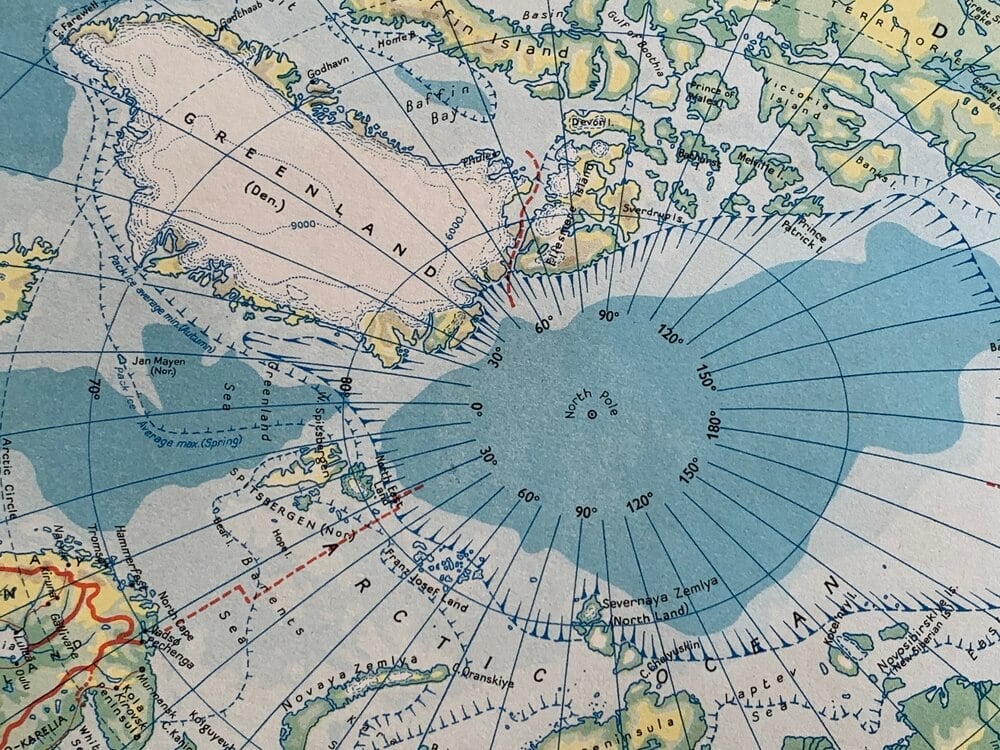
Medieval cartographers depicted Rupes Nigra—the “Black Rock”—at the Earth’s north pole. Various mapmakers showed this rock as an immense structure surrounded by whirlpools, based on mythological texts rather than exploration.
Explorers actually searched the Arctic for decades hoping to find the passage through the pole around Rupes Nigra. The feature had been lost to legend for centuries before discovery that the mythical rock never existed.
The Island of Bermeja (Mexico, 1539-1997, 458-Year Presence)
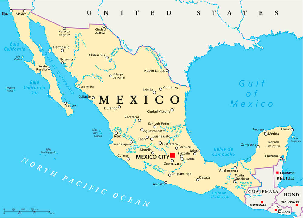
The island of Bermeja first appeared on a 1539 map titled “El Yucatán e Islas Adyacentes,” named for its apparent reddish color. The phantom island appeared on maps for 458 years, persisting well into the twentieth century.
Modern mapping revealed its non-existence, yet the Mexican government revisited searches for the island in 1997 and 2009, hoping its discovery would extend the country’s Exclusive Economic Zone. The island remains a mystery—most likely it never existed.
Frisland (Atlantic Ocean, 1500s-1600s, 100+ Years)
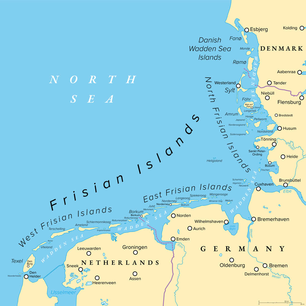
Cartographers depicted Frisland as a large island in the Atlantic between Newfoundland and Ireland. The phantom island appeared on numerous maps from the sixteenth and early seventeenth centuries.
Explorers and navigators actively sought the island, yet Frisland vanished from maps once systematic exploration proved its non-existence.
The Mountains of the Moon, Alternate Rendering (Source of the Nile)
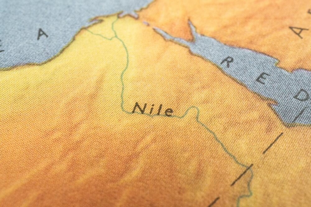
Maps for centuries depicted a mountain range as the source of the Nile River, based on vague descriptions from ancient authors. The “Mountains of the Moon” supposedly towered in central Africa, feeding the Nile.
Modern exploration revealed that the Nile’s sources were far different from these depictions, yet the mythical mountains influenced centuries of geographic theorizing about African hydrology.
The Strait of Anian (Northwest Passage Myth, 1500s-1800s)
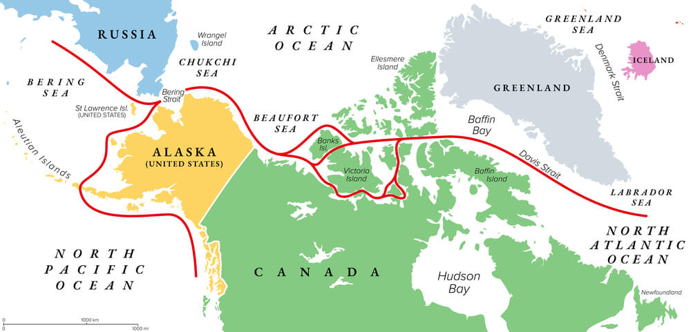
Cartographers consistently depicted the Strait of Anian as a sea passage connecting the Atlantic and Pacific oceans across North America. The fictional strait appeared on hundreds of maps over three centuries, fueling exploration expeditions seeking a “Northwest Passage.”
The strait never existed, yet its phantom presence influenced North American exploration strategy for centuries.
The Pacific Northwest’s Inland Sea (1500s-1700s, Multiple Locations)
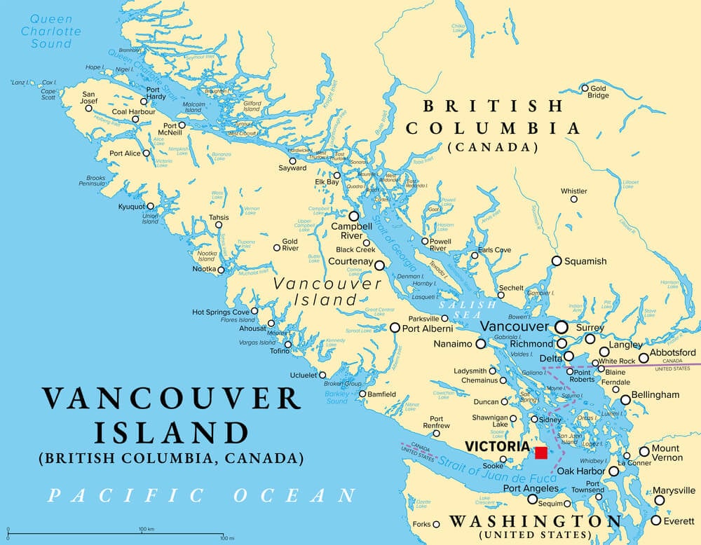
Maps depicted an immense inland sea in the Pacific Northwest of North America, varying in location and size on different cartographic versions. Explorers actively searched for this body of water, which never existed.
The phantom sea influenced early American expansion and exploration strategy.
Lake Apalachy (Fictional East Coast Water Body, 1800s)
American maps depicted Lake Apalachy as a major water body in the Carolina region, sometimes shown as an inland sea. The feature appeared on maps throughout the nineteenth century despite never existing.
The phantom lake influenced early American understanding of the eastern landscape.
The Niger River, Incorrect Direction (1500s-1800s, 300-Year Error)
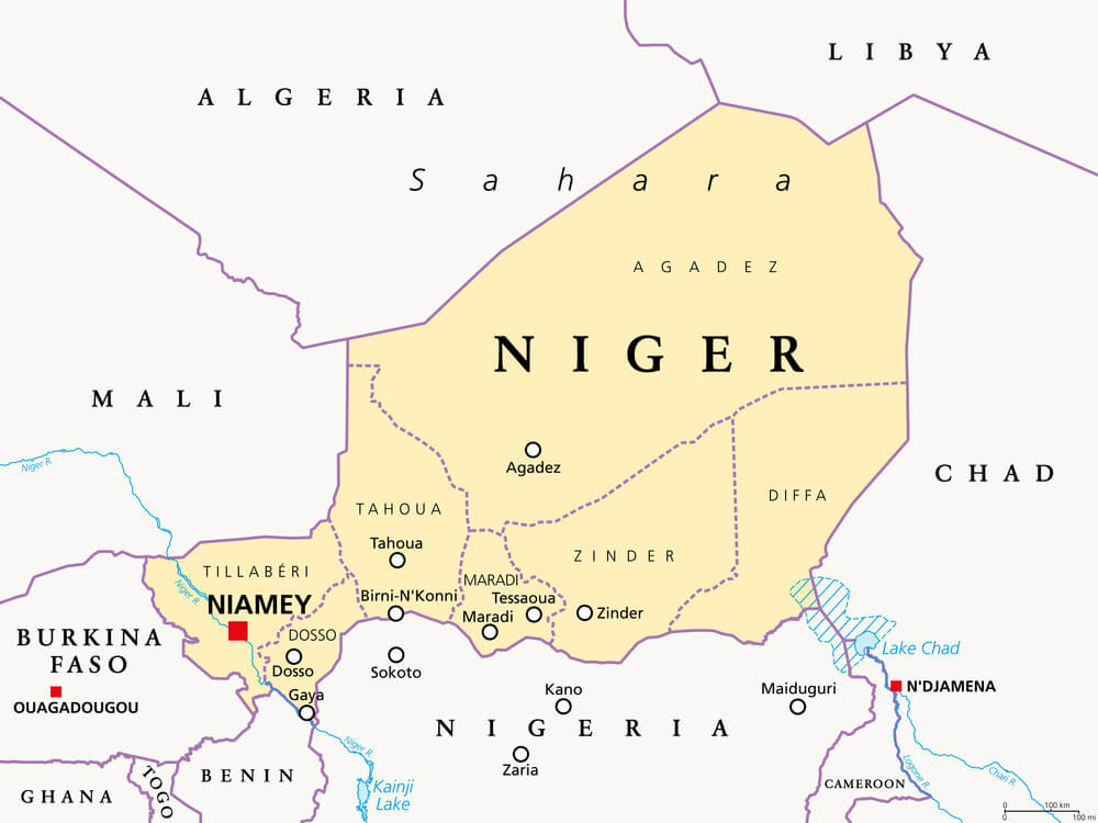
Cartographers depicted the Niger River as flowing westward into the Atlantic at Cape Verde, when it actually flows in a great crescent through West Africa. This fundamental error in African geography persisted for centuries, confused partly by the fictional Mountains of Kong.
Correct understanding of Niger’s actual eastward flow required centuries of exploration.
Lake Llamay (Source of Southeast Asia’s Rivers, Fictional)
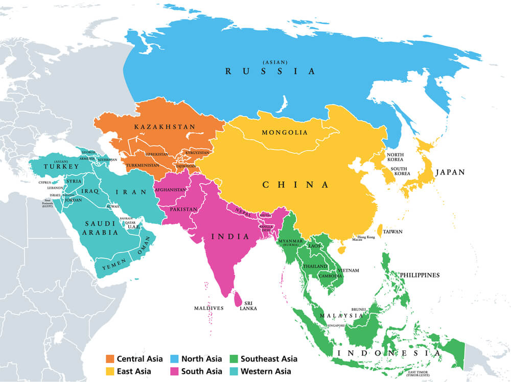
Maps depicted Lake Llamay as the source of Southeast Asia’s major rivers, based on confused geographical reports. The phantom lake appeared on maps without physical reality, misleading geographic understanding of the region’s hydrology.
Phantom Islands in Lake Superior (1500s-1800s, Multiple Locations)
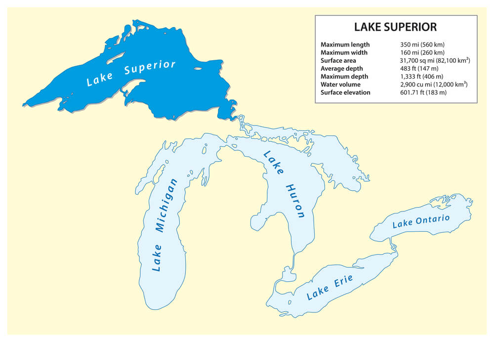
Maps depicted numerous islands within Lake Superior that never existed. These phantom islands persisted on maps for centuries, vanishing only as systematic surveys proved their non-existence.
Sailors navigating Lake Superior encountered confusion between mapped islands and actual geography.
Phantom Islands in the South Atlantic (1500s-1800s, Multiple Names)
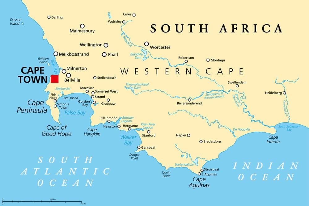
Explorers and cartographers reported sightings of islands in the South Atlantic that subsequent voyages could not verify. These islands appeared and disappeared from maps across centuries.
The South Atlantic became filled with phantom islands that confused navigation and exploration.
Admiral Fonte’s Fictional Voyages (1640s Fabrication, 1700s-1800s Persistence)
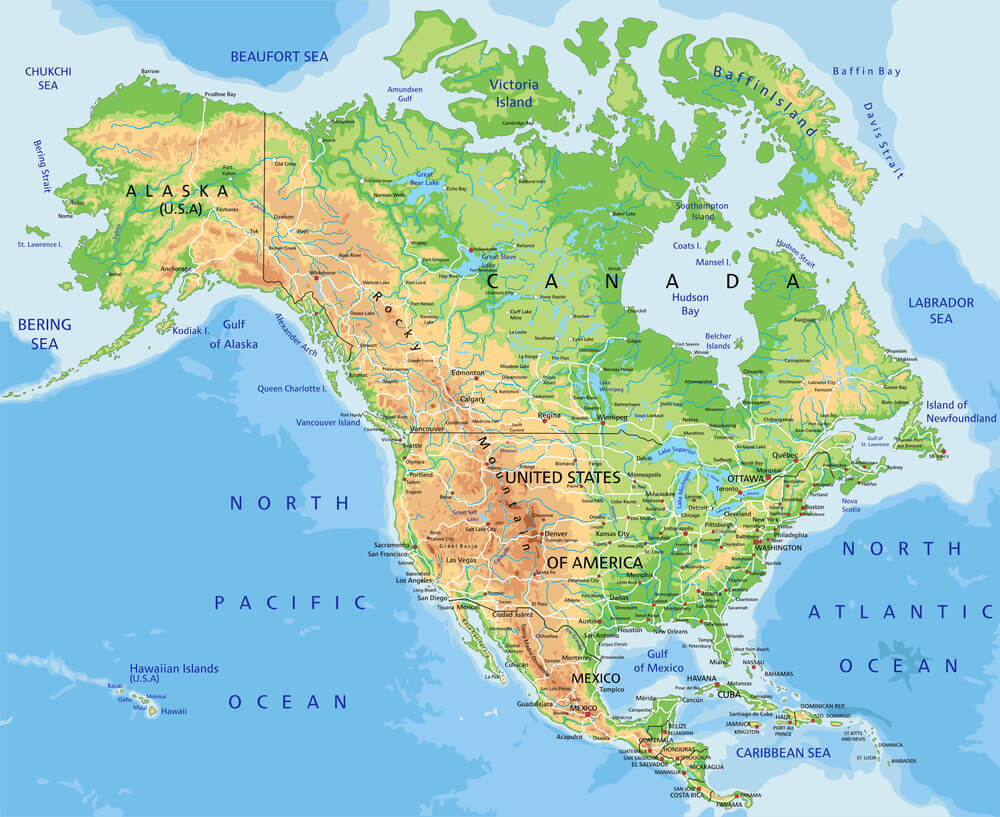
A London publisher fabricated the voyages of a non-existent Admiral Fonte, inventing detailed discoveries along North American coasts. These fictional voyages appeared on reputable maps for over a century, influencing exploration strategy.
Researchers eventually proved Fonte never existed and his “discoveries” were pure inventions.
The Southern Tip of Africa, Incorrect Latitude (1500s-1700s)
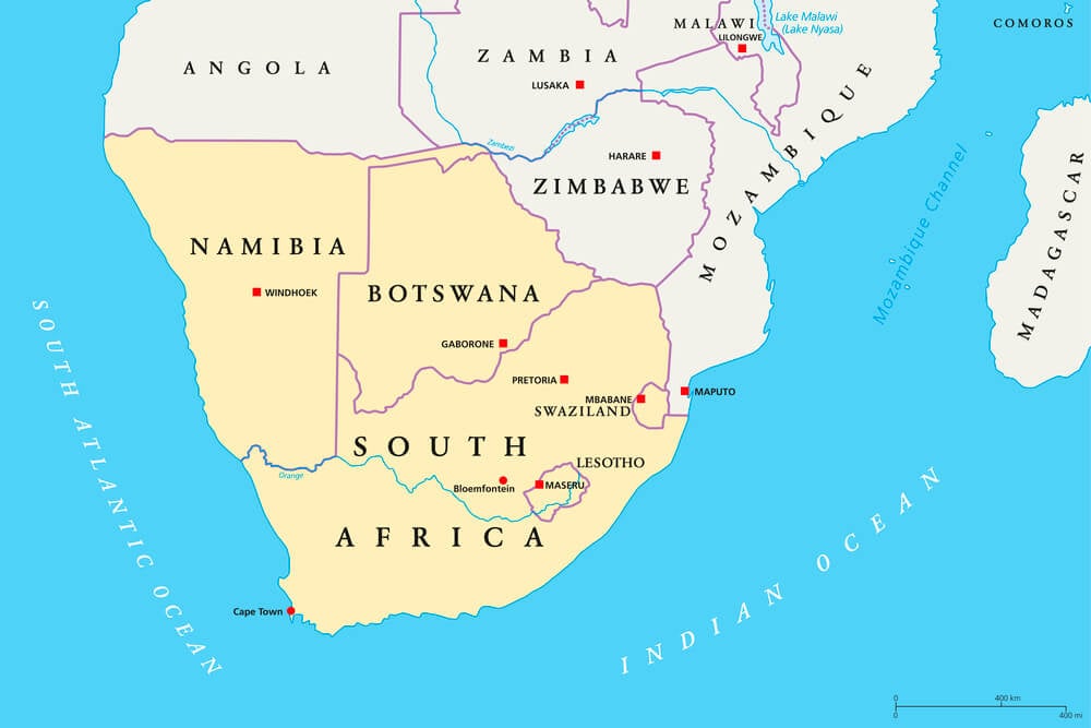
Maps consistently depicted the southern tip of Africa at different latitudes than its actual location, based on incorrect navigational calculations. The error influenced early exploration and trade route planning around the Cape of Good Hope.
New Zealand’s Inverted Orientation (1600s-Early 1700s)
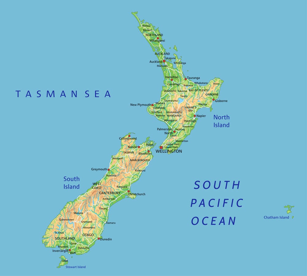
Early cartographers depicted New Zealand inverted or rotated from its actual orientation, based on fragmentary navigation reports. The actual shape and position of New Zealand became clear only after systematic exploration in the eighteenth century.
The Size of Australia, Dramatically Exaggerated (1600s-1800s)
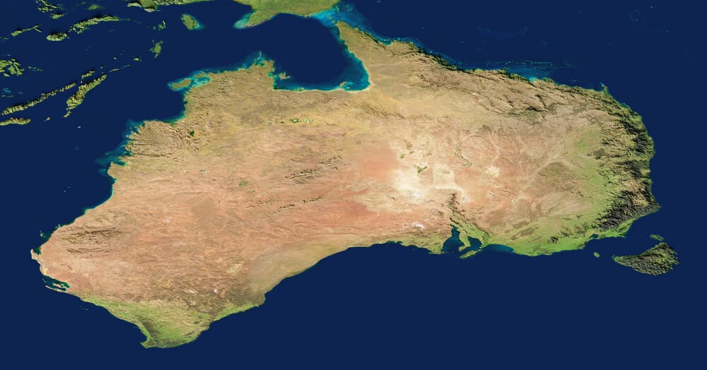
Maps depicted Australia significantly larger or smaller than its actual dimensions, based on early exploration reports. Cartographers had difficulty reconciling fragmentary coastal observations into accurate continental size estimates.
Coats Land, Antarctica (Phantom Peninsula, 1800s-Early 1900s)
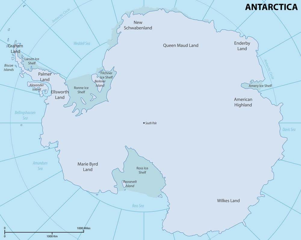
Early Antarctic explorers reported and mapped a landmass called Coats Land, based on partial sightings and ambiguous observations. Subsequent exploration revealed significant differences from the original depictions, requiring substantial map corrections.
The East Coast of Greenland (Misplaced Fjords and Inlets, 1600s-1800s)
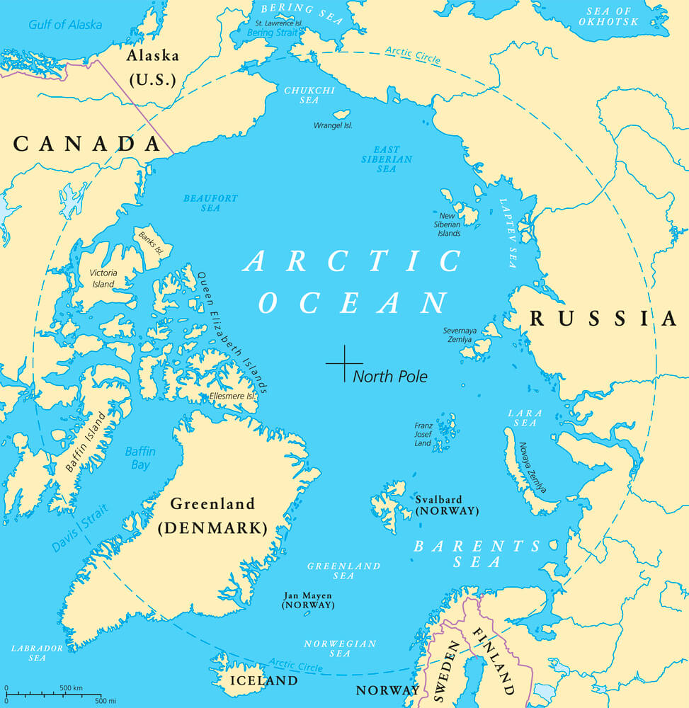
Maps of Greenland’s east coast featured misplaced fjords, inlets, and coastal features based on incomplete exploration and whale hunter reports. The accurate charting of Greenland’s east coast required centuries of successive explorations and map corrections.
The Inland Waterways of Borneo (Incorrect River Courses, 1800s)
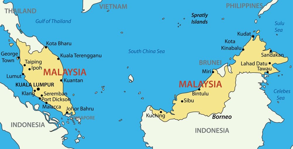
Early maps of Borneo depicted river courses and inland waterways in positions that subsequent exploration proved incorrect. The complex interior geography of Borneo exceeded cartographers’ ability to represent based on limited exploration and secondhand reports.
Lake Chad, Size Variations (1500s-1800s, Dramatically Expanded)
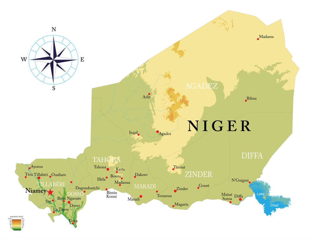
Maps depicted Lake Chad at vastly exaggerated sizes compared to its actual dimensions. The error persisted for centuries, based on conflicting reports and cartographic extrapolation from fragmentary observations.
The Great Salt Lake, Misplaced on American Maps (1800s Positioning)
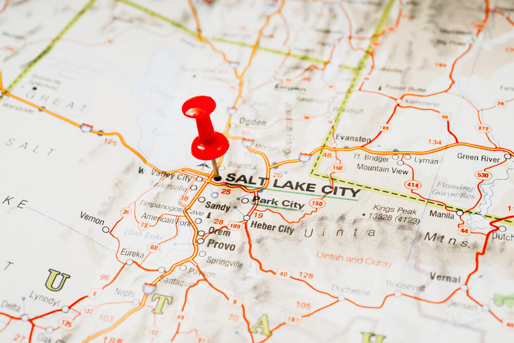
Early American maps placed the Great Salt Lake in incorrect positions relative to other geographic features, based on incomplete knowledge of western geography. The lake’s true location and shape required nineteenth-century exploration to clarify.
The Salton Sea, Incorrect Depiction Before Its Creation (1800s Maps)
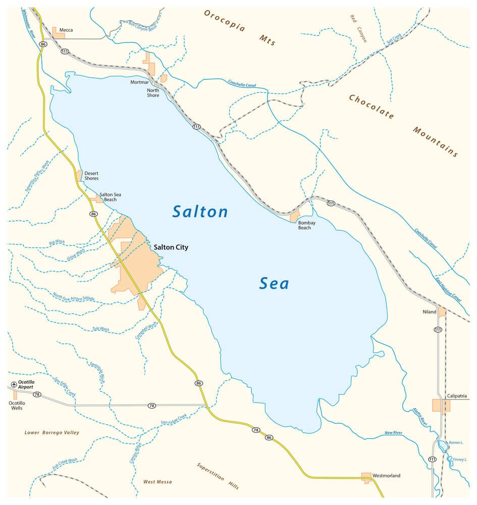
Nineteenth-century maps sometimes depicted this region of California incorrectly, showing phantom water bodies or misplaced geographical features. When the Salton Sea was accidentally created in 1905 through irrigation canal failure, its location differed from some historical map predictions.
The Congo River Basin, Complex Hydrology Misunderstood (1500s-1800s, Multiple Interpretations)
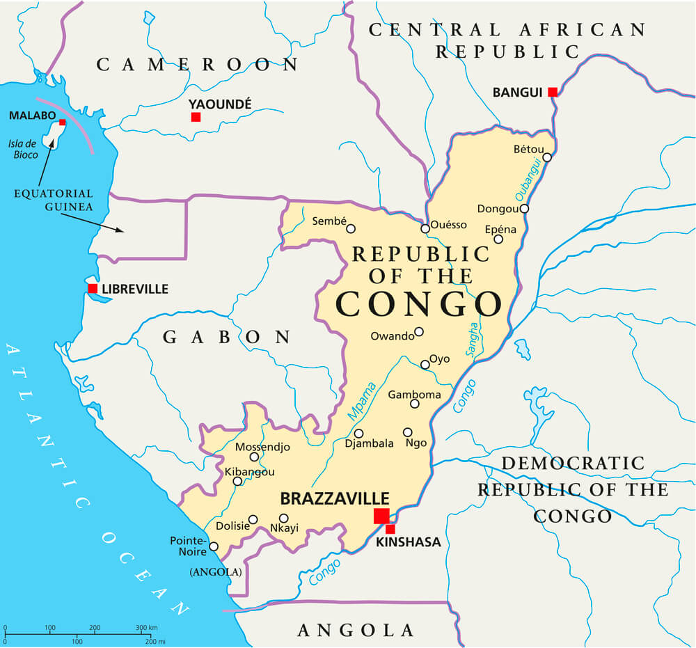
Cartographers spent centuries misunderstanding the Congo River’s complex hydrology, its source, and its relationship to other water systems. Accurate mapping of the Congo basin’s complete system required sustained nineteenth-century exploration.
Maps Oriented with East at the Top (Medieval Islamic Cartography Dismissed)
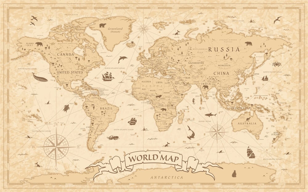
Islamic cartographers created accurate maps oriented with east at the top, following their geographical conventions. When European cartographers encountered these maps, they often dismissed them as inverted or incorrect, reflecting cultural bias rather than cartographic error.
The “error” was a difference in convention, not geographical accuracy.
Authority Encoded in Ink
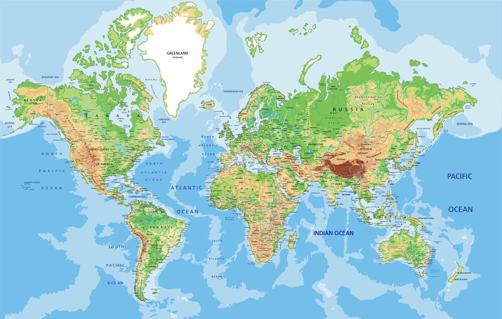
Maps possess an almost supernatural authority. Once a feature appears on a published map, subsequent cartographers treat it as an established fact, copying errors across multiple editions. A mountain that never existed can persist for a century simply because cartographers respect the authority of established maps.
The history of cartographic error reveals that authority—whether maps, books, or official declarations—can establish falsehoods as accepted reality. Only systematic exploration, courageous skepticism of established maps, and the willingness to report what is actually seen rather than what maps predict can correct these persistent errors.
The maps that survived, errors and all, remind us that all representations of reality are temporary, provisional, and vulnerable to discovering they were simply wrong.
More from Go2Tutors!

- The Romanov Crown Jewels and Their Tragic Fate
- 13 Historical Mysteries That Science Still Can’t Solve
- Famous Hoaxes That Fooled the World for Years
- 15 Child Stars with Tragic Adult Lives
- 16 Famous Jewelry Pieces in History
Like Go2Tutors’s content? Follow us on MSN.