28 Strange Sights Spotted on Google Earth
Satellite imagery turned the planet into something anyone can scroll across from a couch, and people have been finding oddities ever since. Some turn out to be art projects, some are military installations, and a few simply defy the eye until someone explains what they are.
Each of the sights below has been documented and, in most cases, explained.
Badlands Guardian of Alberta
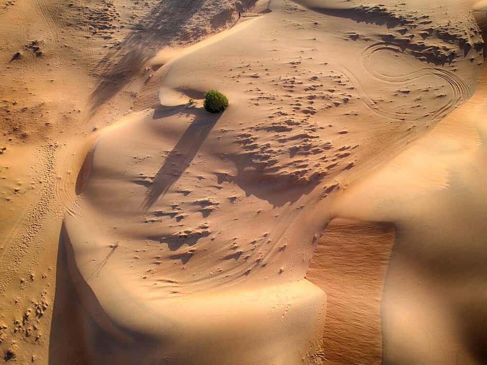
Near Medicine Hat in southeastern Alberta, Canada, an eroded hillside looks remarkably like the profile of a person wearing a feathered headdress when seen from above. A Google Earth user spotted it in 2006, and the feature quickly earned its name.
Adding to the effect, a road and an oil well near the ear look like a pair of earbuds with a cord. The head is a natural formation shaped by wind and water erosion, roughly 800 feet across.
Its appearance changes with the seasons, as snow and vegetation alter the contrast between the face and the surrounding coulees.
Desert Breath in Egypt
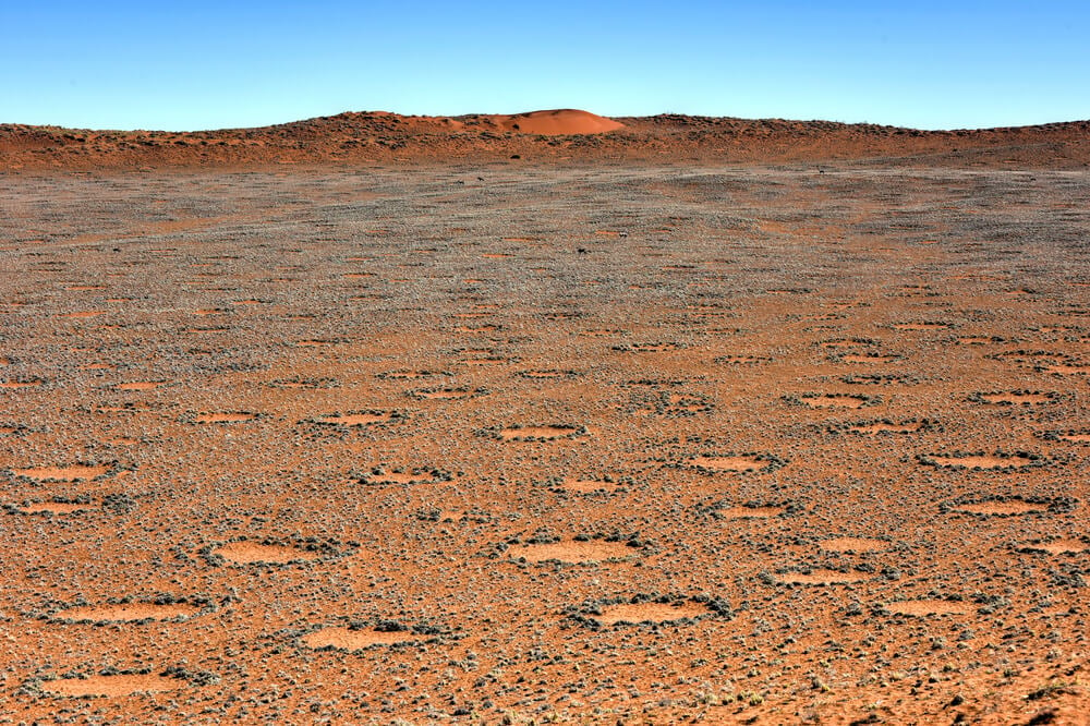
Close to the Red Sea coast of Egypt, not far from El Gouna, a giant double spiral of cones and pits spreads across the desert. It is Desert Breath, a land art installation created in 1997 by the DAST Arteam, made up of Danae Stratou, Alexandra Stratou and Stella Constantinides.
The work covers about a million square feet and originally included a central pool of water. Designed to erode slowly, it has been fading for more than two decades.
Even so, its outline remains visible on satellite imagery, a slow-motion artwork that the desert is gradually reclaiming.
Grids in the Gobi Desert
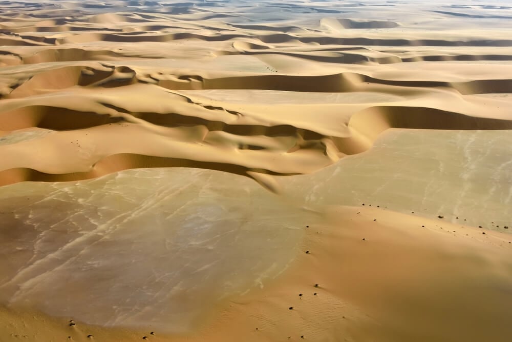
In 2011, users of Google Earth noticed enormous white lines in the Gobi Desert in western China, forming grids and patterns several miles across. Some resemble city street layouts drawn in white on the sand.
Analysts generally concluded that the markings were calibration targets for spy satellites or other reconnaissance systems, used to test image resolution. Other nearby features include what appear to be mockups of airfields and ships, likely used as targets for missile testing.
China has not explained them officially, which keeps speculation alive among satellite imagery enthusiasts.
Nazca Lines From Above
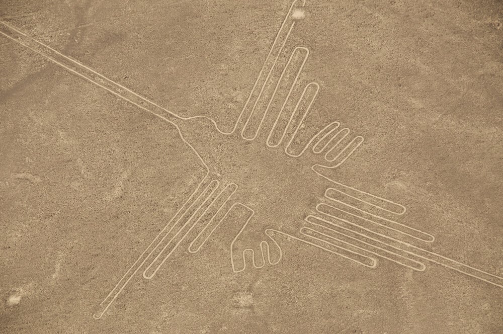
Southern Peru’s Nazca Lines are enormous figures and lines scratched into the desert floor between about 500 BC and AD 500, depicting a hummingbird, a monkey, a spider and many other designs. They are best appreciated from above, which is why they draw so much attention on satellite imagery.
In 2024, researchers from Yamagata University working with IBM reported 303 newly identified figurative geoglyphs, found with the help of AI, nearly doubling the known total. The lines survive because the region is one of the driest places on Earth, with little rain to wash them away.
Eye of the Sahara
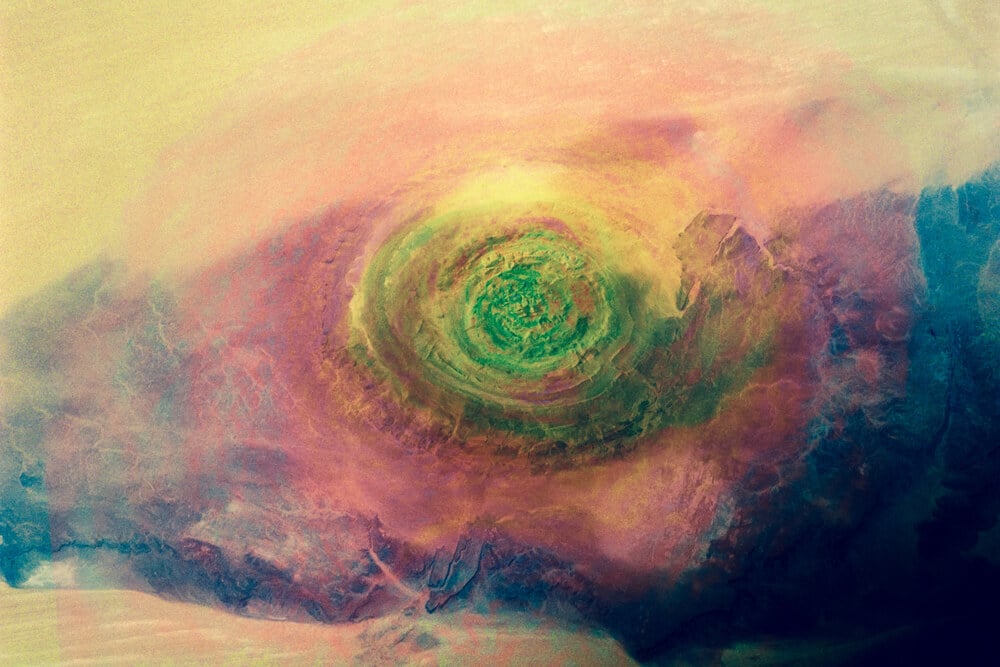
In the Sahara of Mauritania, a series of concentric rings about 25 miles across stands out clearly from orbit. The Richat Structure, nicknamed the Eye of the Sahara, was once thought to be an impact crater.
Geologists now explain it as a deeply eroded dome, where uplifted rock layers were worn away to expose rings of harder and softer stone. Astronauts have used it as a landmark since early space missions.
Its scale and symmetry have also fueled fringe theories linking it to Atlantis, which geologists firmly reject.
Boneyard Rows at Davis-Monthan
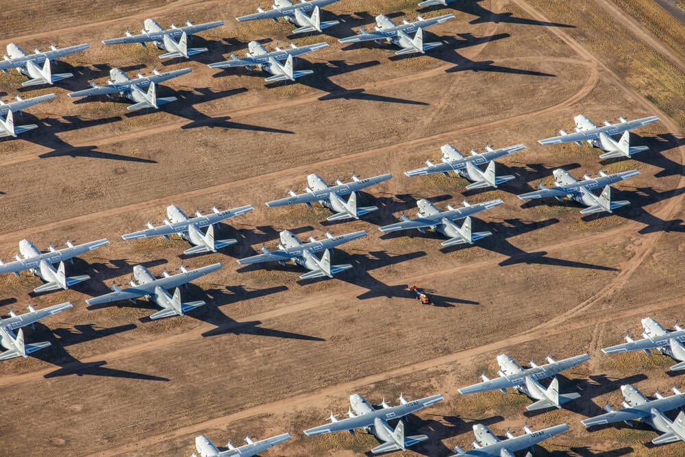
At Davis-Monthan Air Force Base in Tucson, Arizona, thousands of retired military aircraft sit in neat rows across the desert, a sight that looks surreal from above. The site is run by the 309th Aerospace Maintenance and Regeneration Group and is widely known as the Boneyard.
The dry climate and hard, alkaline soil help preserve the planes and let them sit without sinking. Some aircraft are stored for possible return to service, while others are stripped for spare parts.
Bombers, cargo planes, fighters and helicopters can all be picked out in satellite imagery.
Lake Hillier’s Pink Water
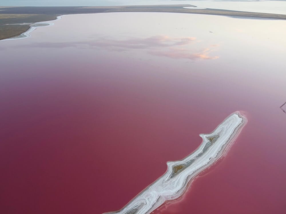
On Middle Island, off the southern coast of Western Australia, Lake Hillier is a vivid bubblegum pink, separated from the deep blue Southern Ocean by a thin strip of sand and trees. The color holds even when water is scooped into a container.
Scientists attribute it to salt-loving microorganisms, including the alga Dunaliella salina and various bacteria, which produce reddish pigments. The lake is about 2,000 feet long.
The island is hard to reach, so most people see the lake from scenic flights or on satellite images.
Galesnjak, the Heart-Shaped Island
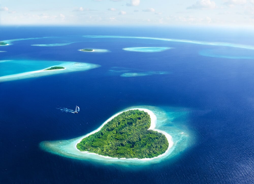
Galesnjak, a small uninhabited island in the Pasman Channel off the coast of Croatia, has an almost perfect heart shape when viewed from above. It became famous after Google Earth users noticed it around 2009, and it is now nicknamed Lovers’ Island.
The island is privately owned. Its shape is natural, the product of erosion, and it covers only a small area of rocky ground and scrub.
Since its online fame, Galesnjak has become a popular backdrop for proposals and tour boat visits along the Dalmatian coast.
Giant Pink Rabbit on an Italian Mountain
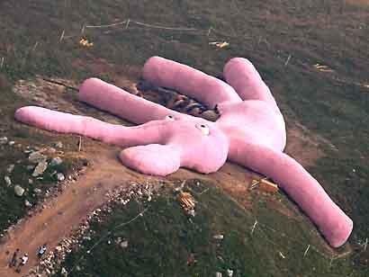
In 2005, the Vienna-based art collective Gelitin installed a knitted pink rabbit about 200 feet long on the slope of Colletto Fava, a mountain in Italy’s Piedmont region. The work, called Hase, lay on its back with its stuffed insides spilling out of an open wound, and hikers were invited to climb on it.
The artists expected it to decay naturally by around 2025. It faded to gray and broke down much faster, and it was largely decomposed by 2016.
For years, the bright shape was one of the most surprising sights on satellite imagery of the Alps.
Firefox Crop Circle in Oregon
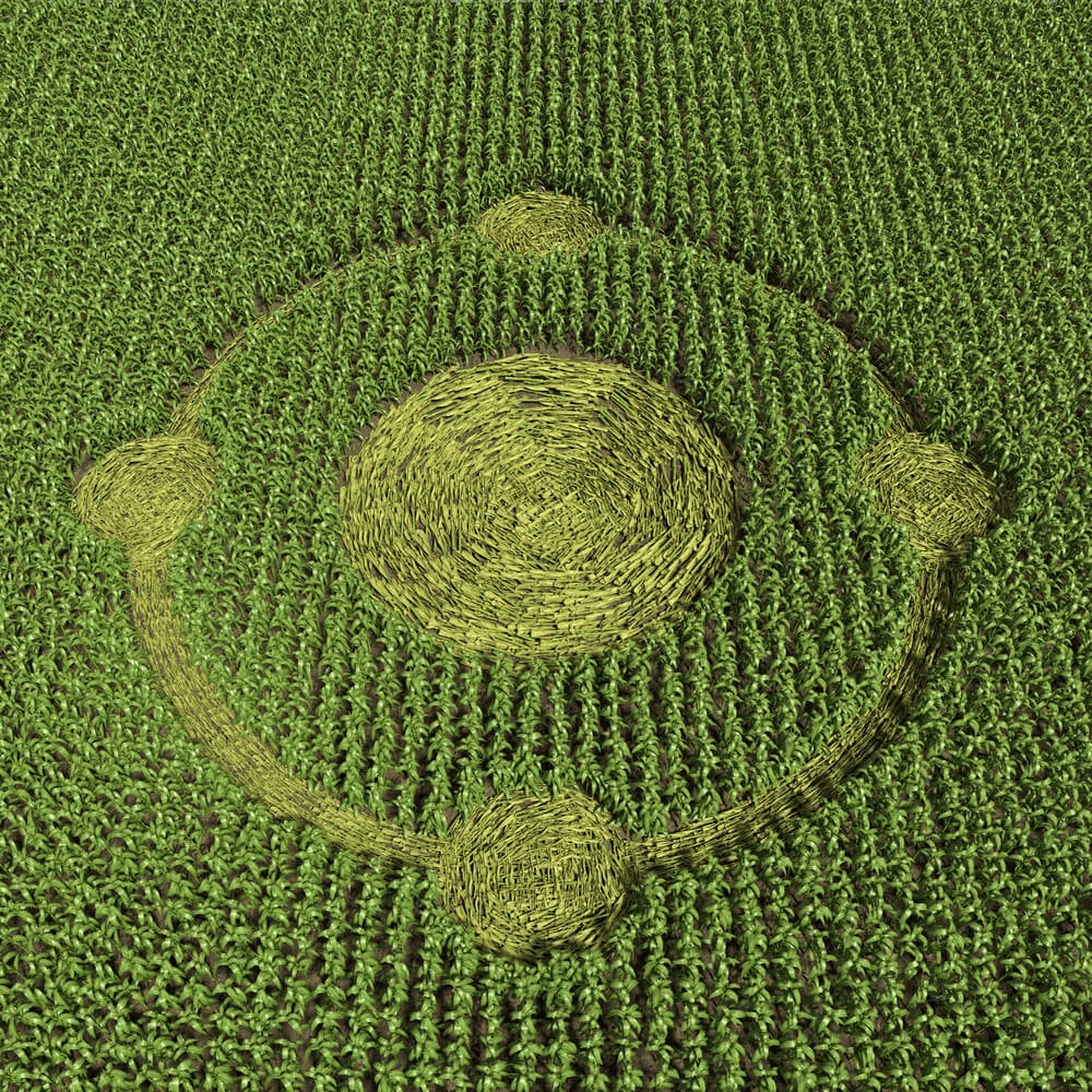
Members of the Oregon State University Linux Users Group cut the Firefox browser logo into an oat field near Amity, Oregon, in August 2006. The design measured about 220 feet across and was made to celebrate the open-source browser.
The students worked through the night, using stakes, string and boards to flatten the crop into the shape of the fox curled around the globe. The image was captured by aerial photography and became a minor internet legend among tech fans.
Few crop designs made for a brand have been shared as widely.
Mano del Desierto in Chile
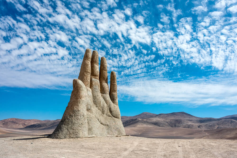
Chile’s Atacama Desert holds a giant hand rising out of the sand, about 45 miles south of Antofagasta, beside the Pan-American Highway. Mano del Desierto, by Chilean sculptor Mario Irarrazabal, stands about 36 feet tall and was unveiled in 1992.
The concrete sculpture was meant to express human vulnerability and loss. It shows up on satellite imagery as a small shadow in the vast desert, but it is far more striking at ground level, where travelers stop to photograph it.
Irarrazabal made a similar hand on a beach in Punta del Este, Uruguay.
Sandy Island, Which Was Never There
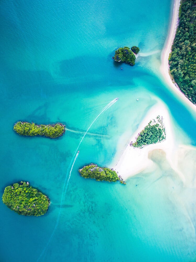
For more than a century, maps showed Sandy Island in the Coral Sea between Australia and New Caledonia, and Google Earth displayed it as a dark patch. In November 2012, Australian scientists aboard the research vessel Southern Surveyor sailed to its location and found open ocean about 4,600 feet deep.
The island had apparently entered charts in the late 1800s, possibly through a whaling ship’s report, and was copied from map to map ever since. It was removed from Google’s maps after the voyage.
The case showed how errors can survive for generations once they are printed.
Atlantis That Was Really Sonar Tracks
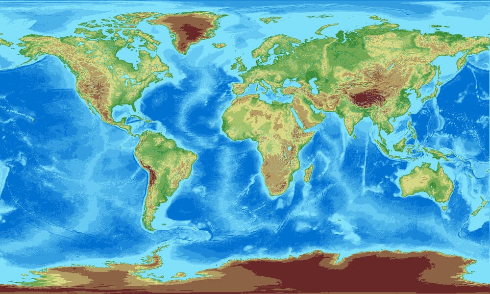
Users of Google Earth’s ocean feature spotted a rectangular grid of lines on the seafloor west of the Canary Islands in 2009, sparking claims that the lost city of Atlantis had been found. The pattern covered an area reported to be roughly the size of Wales.
Google explained that the lines were artifacts of data collection, traces of the paths taken by ships mapping the seafloor with sonar. Areas surveyed directly by ship had sharper detail than surrounding areas, which were estimated from other data.
Later updates smoothed the grid away.
Area 51 in the Nevada Desert
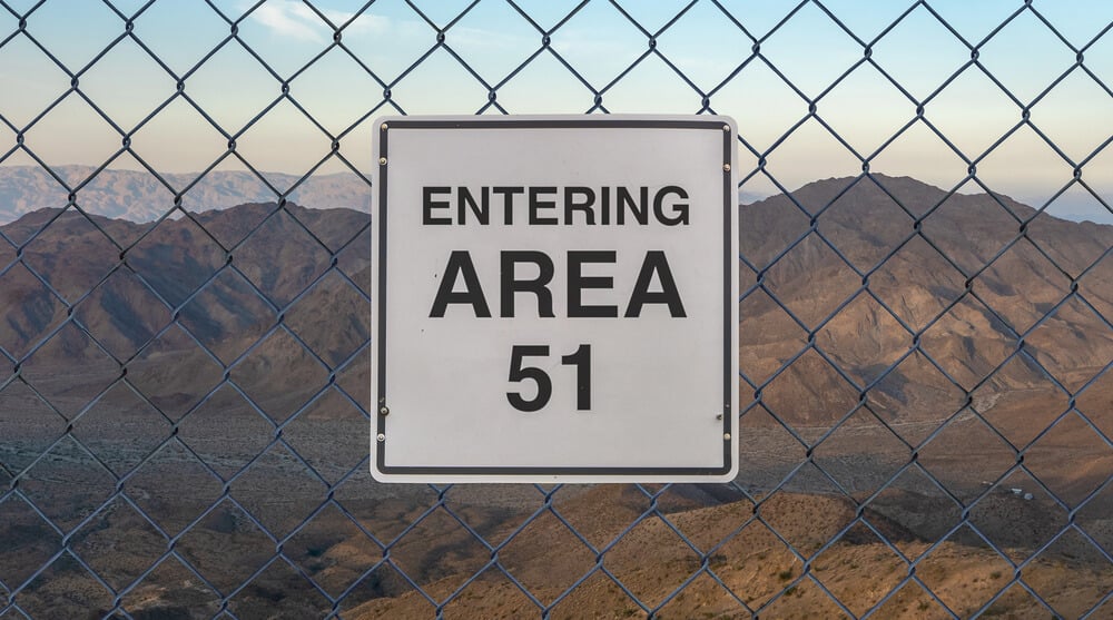
Area 51, the secretive Air Force facility at Groom Lake in southern Nevada, can be viewed on satellite imagery, showing runways, hangars and a dry lakebed. For decades the U.S. government did not officially acknowledge its existence, which fed endless speculation about aliens and crashed saucers.
In 2013, the CIA released documents confirming the site and its role in testing spy planes such as the U-2 and the A-12 Oxcart. The facility remains active, and the airspace above it is restricted.
Satellite images taken over the years show new hangars and steady construction.
Coca-Cola Logo Made of Bottles

On a hillside near Arica in northern Chile, a huge Coca-Cola logo is visible from the air. It was created in 1986, the year of the company’s 100th anniversary, using about 70,000 glass bottles arranged to spell out the brand in red and white.
The logo measures roughly 400 feet wide. The company has maintained it over the years, and it has become an odd local landmark.
On satellite imagery, it looks almost like a giant sticker pressed onto the dry hills of the Atacama region.
Carhenge in Nebraska
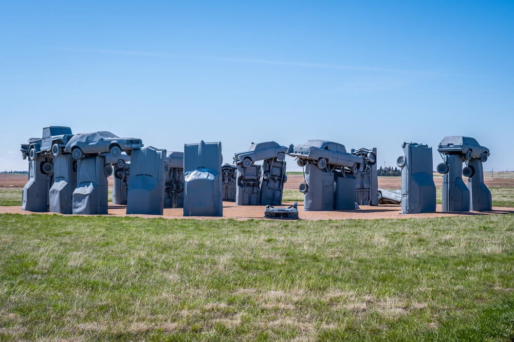
Out on the plains near Alliance, Nebraska, a circle of upright cars mimics the layout of Stonehenge. Artist Jim Reinders built Carhenge in 1987 as a memorial to his father, using 39 vintage American automobiles painted gray.
The cars are arranged in roughly the same dimensions as the English monument, with some planted trunk-first in the ground and others welded across the top as lintels. From above, the circle stands out clearly against the surrounding farmland.
The site, now owned by the city, also includes other sculptures made from cars.
Guitar-Shaped Forest in Argentina

Farmland in Cordoba Province, Argentina, hides a forest planted in the shape of a guitar, stretching for more than half a mile. Farmer Pedro Martin Ureta created it in memory of his wife, Graciela, who died in 1977 and had once dreamed of a field shaped like a guitar.
He and his children planted about 7,000 cypress and eucalyptus trees, with the strings formed by rows of blue-tinted eucalyptus. Ureta reportedly disliked flying and never saw the finished shape from the air himself.
The forest is clearly visible on satellite images.
Compass Rose at Edwards
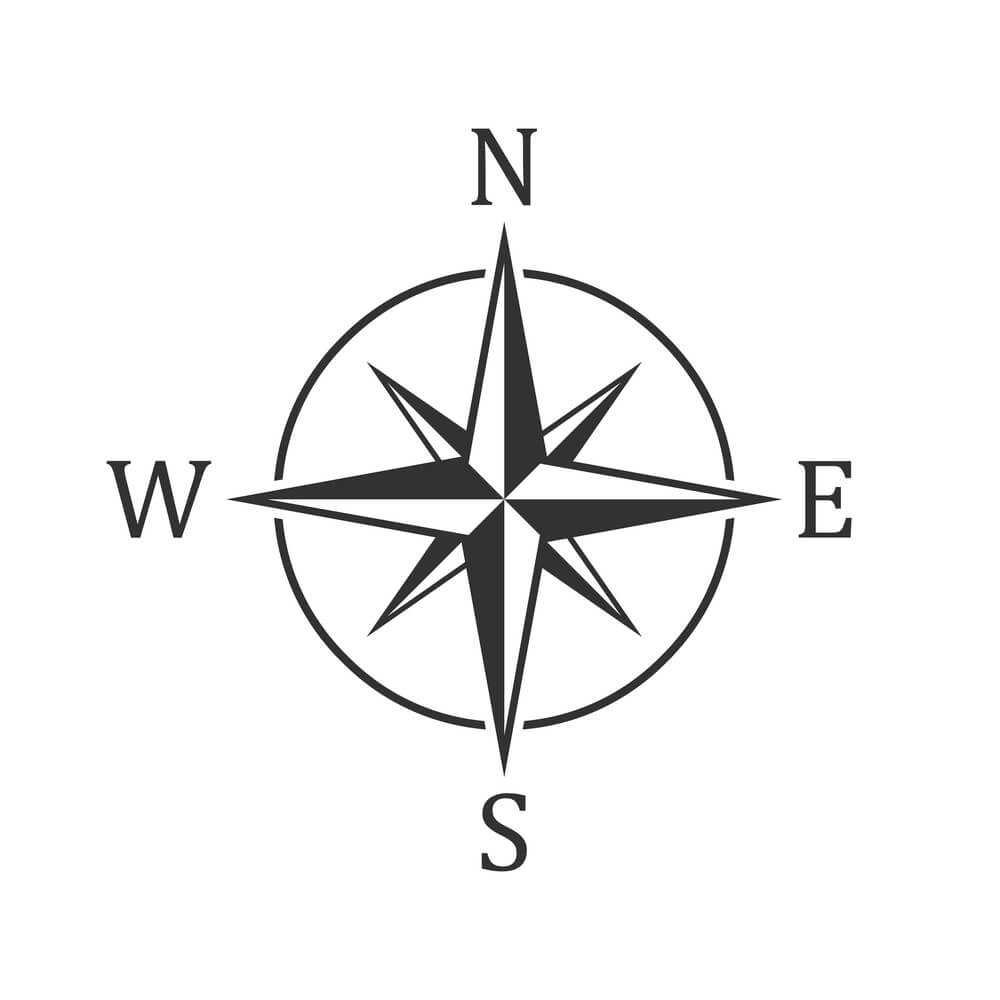
Edwards Air Force Base in California has a giant compass rose painted directly onto Rogers Dry Lake. At roughly 4,000 feet across, it is one of the largest compass roses in the world.
Pilots use it to calibrate aircraft compasses, lining up their planes with marked headings. Because Earth’s magnetic field shifts slowly over time, crews repaint and realign it periodically.
The dry lake also served as a landing site for space shuttles, and the compass rose is easy to spot on satellite imagery, a bold star etched into an otherwise blank expanse of clay.
Concrete Arrows of the Airmail Route

Scattered across the American West are giant concrete arrows, often about 70 feet long, once painted bright yellow. In the 1920s, before radio navigation was widespread, the government built the Transcontinental Airway System to guide airmail pilots at night.
Each arrow sat beside a rotating beacon tower, pointing toward the next beacon along the route. Hundreds were built.
Many arrows survive in remote spots in Utah, Montana, Wyoming and other states, and enthusiasts use satellite imagery to track them down, mapping a forgotten piece of aviation history.
Fly Geyser in Nevada
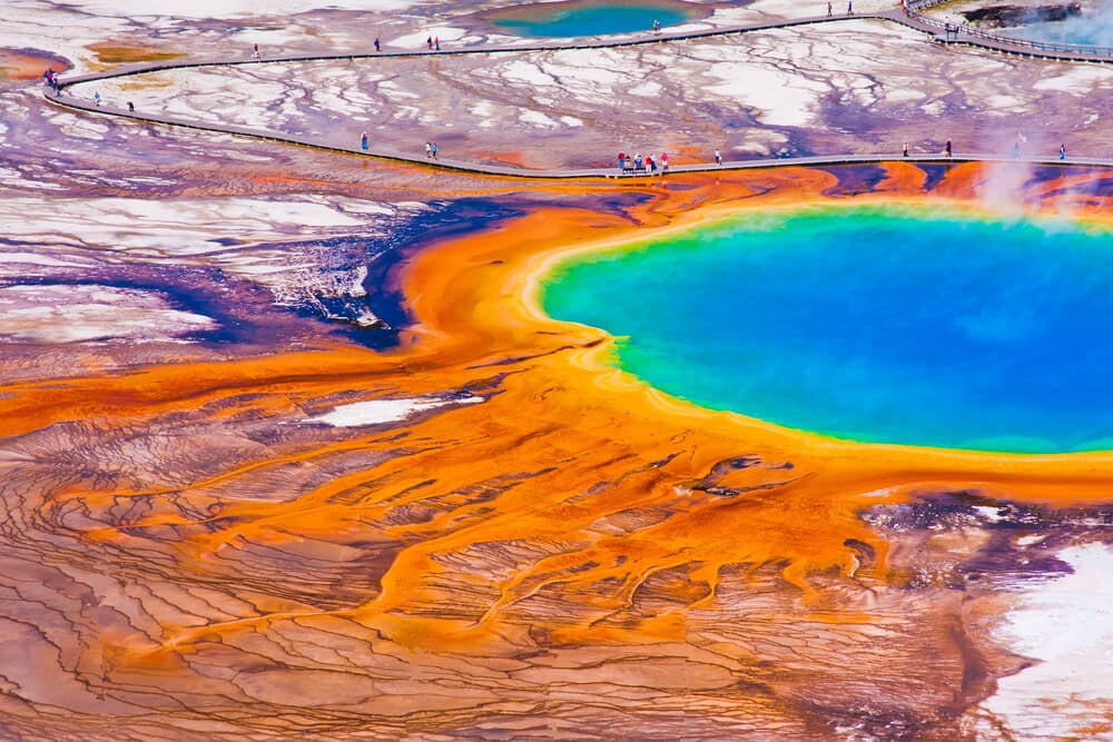
Fly Geyser, on private land in Nevada’s Black Rock Desert, is a cluster of colorful mounds that sprays hot water several feet into the air. It formed after a well was drilled in the area, often dated to 1964, and was left uncapped.
Minerals in the water built up layered terraces, and heat-loving algae colored them shades of red, orange and green. The geyser sits on Fly Ranch, which the Burning Man Project bought in 2016 and opens for limited guided visits.
From above, its bright colors stand out sharply against the pale desert.
Eduard Bohlen in the Namib
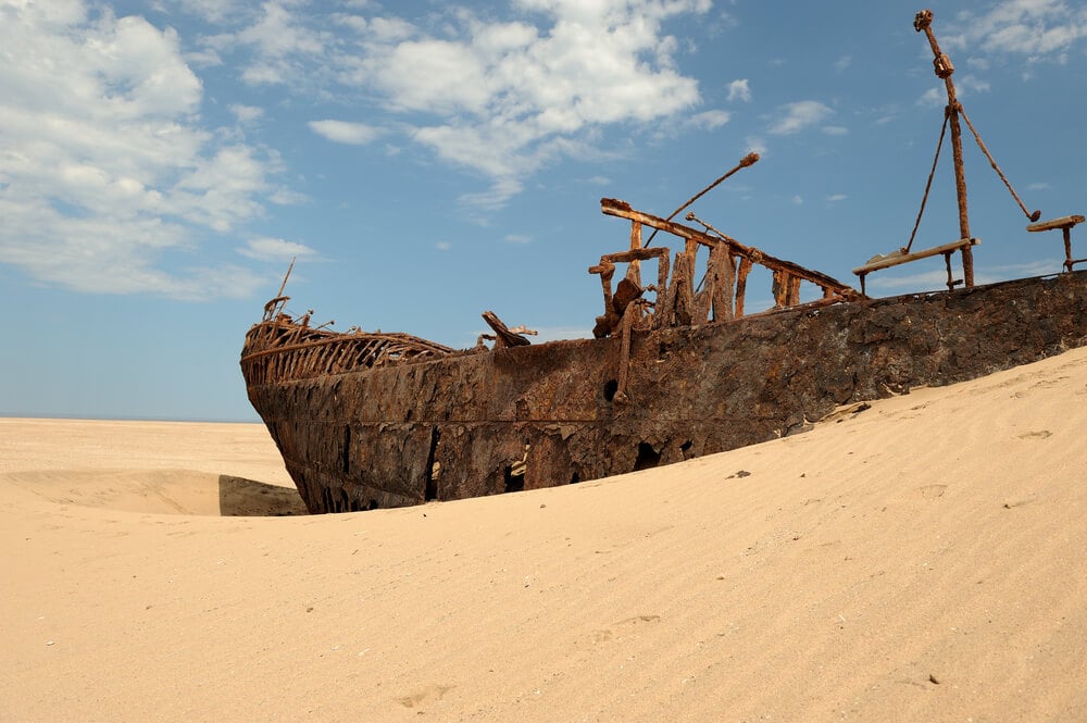
A rusting cargo ship, the Eduard Bohlen, sits in the sand of the Namib Desert on Namibia’s Skeleton Coast. The ship ran aground in fog in 1909 near Conception Bay.
Over the following century, shifting sands pushed the coastline seaward, and the wreck now lies hundreds of yards inland. Seen from above, it looks like a ship stranded in a sea of dunes.
Several other wrecks dot the same coastline, which earned its grim nickname from shipwrecks and the bones of whales and seals once scattered along the shore.
Spiral Jetty in the Great Salt Lake
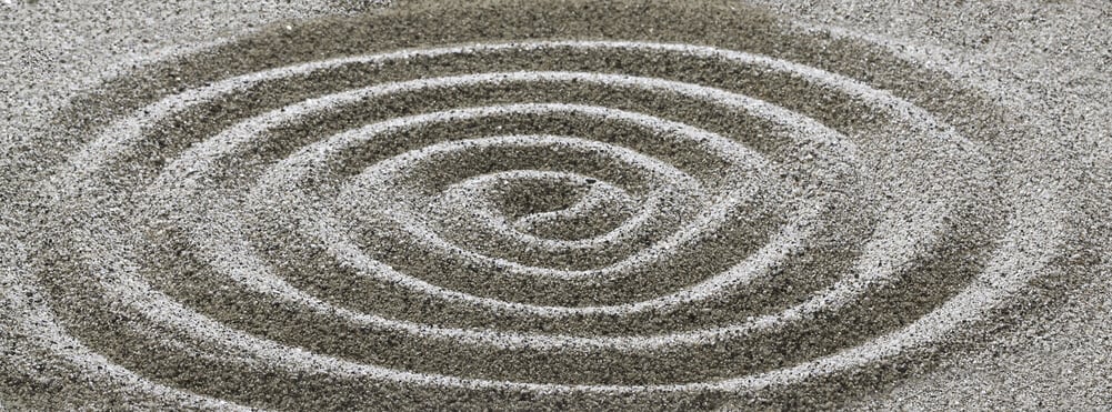
Artist Robert Smithson used bulldozers and dump trucks in 1970 to build Spiral Jetty, a 1,500-foot coil of basalt rock and earth curling into the Great Salt Lake at Rozel Point, Utah. Soon after it was finished, rising water submerged it for decades.
It reappeared during a drought around the early 2000s, encrusted with white salt crystals. The surrounding water often turns pink or red from salt-tolerant microorganisms.
Spiral Jetty, now owned by the Dia Art Foundation, is one of the most famous works of land art in the world.
Darvaza Gas Crater
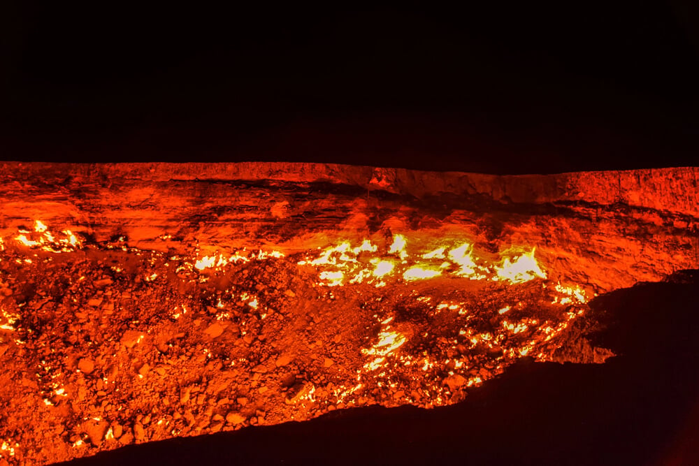
Deep in the Karakum Desert of Turkmenistan, a crater about 230 feet across has burned with natural gas flames for decades. Locals and travelers call it the Door to Hell.
The most common account says Soviet geologists drilling for gas around 1971 triggered a collapse and set the gas alight to burn it off, expecting the fire to die out within weeks. The details remain uncertain.
In 2022, Turkmenistan’s president ordered officials to find a way to extinguish it, and later reports said the flames had weakened. From above, the crater appears as a dark ring in the sand.
Pineapple Garden Maze
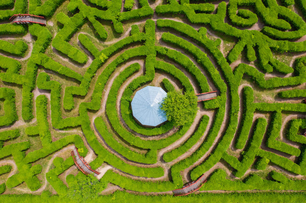
At the Dole Plantation in Wahiawa, on the Hawaiian island of Oahu, a hedge maze made from about 14,000 Hawaiian plants spreads across more than 3 acres. In 2008, Guinness World Records recognized it as the world’s largest maze.
Larger mazes have since been built elsewhere, but its curving paths, laid out partly in the shape of a pineapple, remain clear on satellite images. Visitors race to find secret stations hidden within the maze.
The plantation itself began as a roadside fruit stand in 1950.
Mirny Diamond Mine
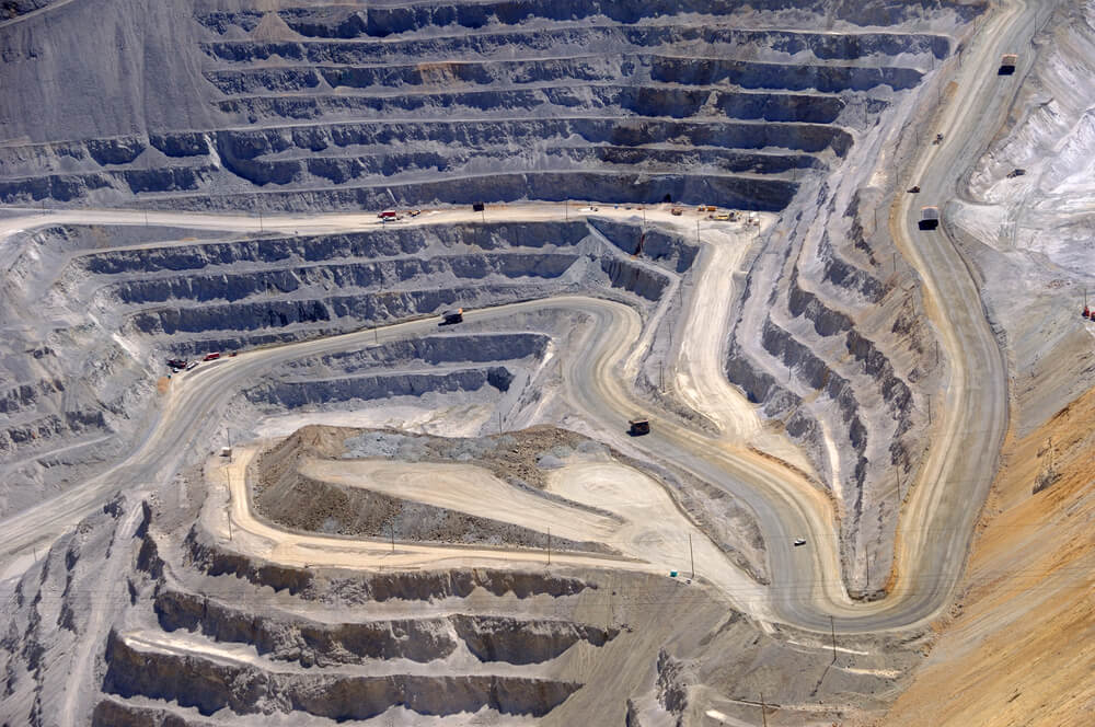
The town of Mirny in eastern Siberia sits beside one of the largest excavated pits in the world, a former diamond mine about 1,700 feet deep and roughly three quarters of a mile across. Soviet workers began mining here in 1957, battling permafrost and winter temperatures far below zero.
Open-pit mining ended in 2001, though underground mining continued for years afterward. Helicopters are reportedly barred from flying directly over it because of dangerous air currents.
On satellite imagery, the vast, terraced crater dwarfs the nearby town.
Palm Jumeirah in Dubai

Off the coast of Dubai, an artificial island shaped like a palm tree extends into the Persian Gulf, complete with a trunk, 16 fronds and a crescent-shaped breakwater. Palm Jumeirah was built from tens of millions of cubic meters of sand dredged from the seafloor and sprayed into place, along with millions of tons of rock for the breakwater.
Construction began in 2001, and the first residents moved in around 2007. The island now holds hotels, villas and apartments.
Its shape is so distinctive that it ranks among the most recognizable human-made landforms on satellite images.
Uffington White Horse
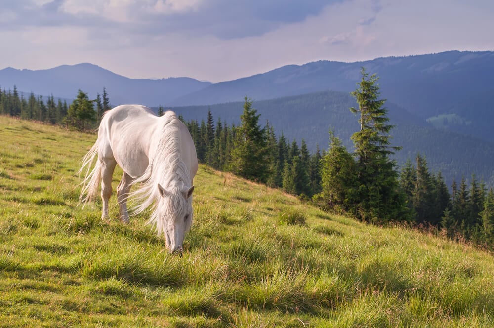
A stylized horse about 360 feet long has been cut into the chalk of a hillside in Oxfordshire, England. The Uffington White Horse dates to the late Bronze Age, roughly 3,000 years ago, according to sediment dating carried out in the 1990s.
Its flowing, abstract lines look almost modern. Local people have long scoured and rechalked it to keep it from being swallowed by grass, a tradition once tied to festivals.
The National Trust now cares for it, and the figure is best seen from the air or on satellite views.
Volkswagen’s Desert Car Lots

After Volkswagen admitted in 2015 that it had rigged diesel cars to cheat emissions tests, the company agreed to buy back hundreds of thousands of vehicles in the United States. It needed somewhere to keep them.
Aerial and satellite images from 2018 revealed rows upon rows of cars stored at sites including the Southern California Logistics Airport in Victorville, as well as stadium parking lots and other locations around the country. Many of the cars were later fixed and resold or recycled.
From above, the lots looked like an enormous, unmoving traffic jam in the desert.
Pixels and the Pleasure of Looking Down

Most of the strange sights on Google Earth turn out to have ordinary explanations, from sonar tracks and spy-satellite targets to grieving husbands and art collectives with a sense of humor. The fun lies in the gap between first glance and final answer.
A pink lake or a seafloor grid looks like a mystery until someone does the research.
The view from above also reveals how much humans reshape the surface of the planet, sometimes on purpose and sometimes as a side effect of business, war or memory. Satellite images record those choices in plain sight.
Anyone willing to zoom in has a front-row seat to a world stranger than most maps admit.
More from Go2Tutors!

- The Romanov Crown Jewels and Their Tragic Fate
- 13 Historical Mysteries That Science Still Can’t Solve
- Famous Hoaxes That Fooled the World for Years
- 15 Child Stars with Tragic Adult Lives
- 16 Famous Jewelry Pieces in History
Like Go2Tutors’s content? Follow us on MSN.