13 Roman Roads and Bridges Still in Use
The Romans built roads to move legions and bridges to keep those roads from ending at rivers. Two thousand years later, some of that work still carries pedestrians, cyclists, and in a few places ordinary traffic.
Other stretches have disappeared under asphalt, which means drivers in Britain, France, and Greece may be following a Roman route without realizing it.
Via Appia, Italy
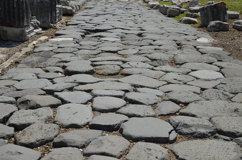
Appius Claudius Caecus began the Appian Way in 312 BC to connect Rome with Capua, and it was later extended southeast to the port of Brindisi, reaching about 569 kilometers, or 385 Roman miles. Romans called it the Regina Viarum, the Queen of Roads.
The stretch near Rome, known as the Via Appia Antica, can still be walked today.
Via Flaminia, Italy
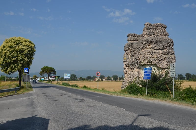
The Via Flaminia ran north from Rome toward the Adriatic coast and, together with the Via Appia, helped Roman troops move quickly across Italy. Parts of it still carry car, bike, and foot traffic, and other sections serve as the guiding route for modern highways.
It ends at Rimini, where the Arch of Augustus marks the point at which it reached the sea.
Via Egnatia, Greece and Beyond
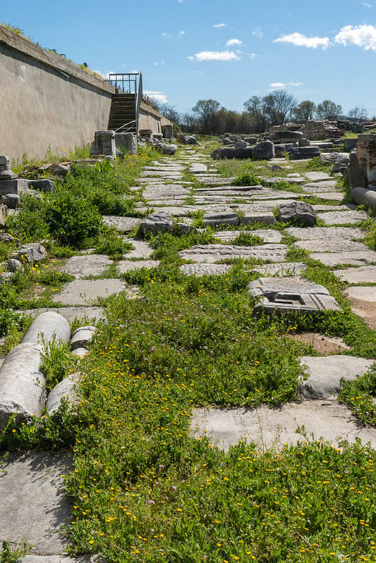
Begun in the mid-second century BC, the Via Egnatia crossed the Balkan Peninsula from the Adriatic port of Dyrrachium, modern Durrës, to Byzantium. It linked the western and eastern halves of the empire.
Some sections remain walkable, while others lie beneath modern roads such as Greece’s Egnatia Odos motorway, numbered A2.
Via Domitia, France
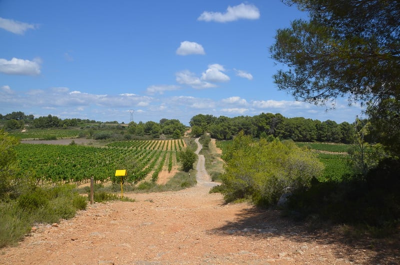
Begun in 116 BCE, the Via Domitia ran from the French Alps to the Pyrenees, giving Roman armies a route into Spain after the conquest of southern Gaul. A preserved section can be seen in Narbonne.
Another piece of the route was the bridge at Ambrussum, known as the Pont Ambroix, which carried the road in the first century BC.
Watling Street, England
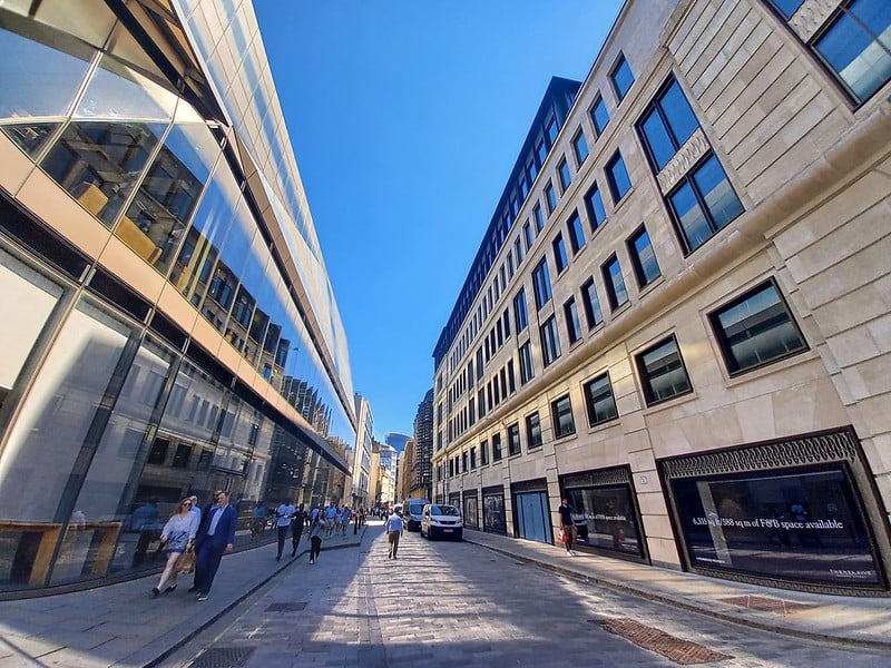
Watling Street was one of Roman Britain’s main roads, built over an existing Iron Age track. Much of its route is covered by modern roads, including the A2 southeast of London toward Dover and the A5.
A battle between the Roman governor Gaius Suetonius Paulinus and the rebel queen Boudica in AD 61 is named for it, though the exact site of the fight is unknown.
Fosse Way, England
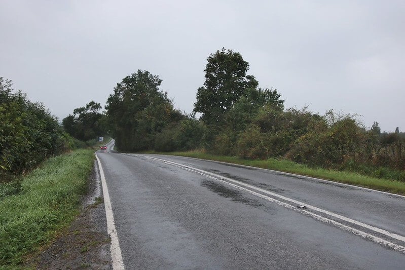
The Fosse Way ran about 230 miles from Exeter to Lincoln in a remarkably straight line. Around Leicester the A46 follows its route, and the B4455 traces it across Warwickshire.
Place names such as Stretton and Stratton come from the Old English word for a paved road, which in turn came from Latin, a reminder of how many settlements grew up along Roman routes.
Stane Street, England
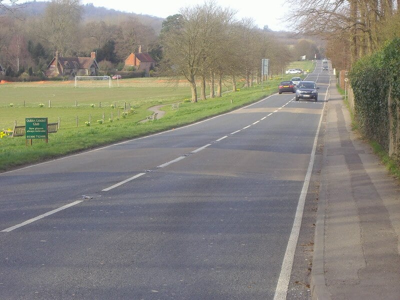
Stane Street linked London with Chichester and was completed in the middle of the first century, making it one of the earliest major Roman roads in Britain. Much of it was folded into the modern A29 in southern England, which still carries the ancient name.
Drivers on that road are following a Roman surveyor’s line without having to look for it.
Ermin Street, England
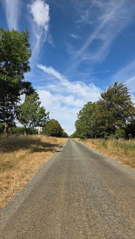
Ermin Street connected Gloucester, known to the Romans as Glevum, and Cirencester, or Corinium, with Silchester in Hampshire. It is listed among the Roman routes that survive as modern dual carriageways and major A-roads in Britain.
Cirencester also sat at the junction of the Fosse Way and Akeman Street, which made it a major road hub.
Pons Fabricius, Rome
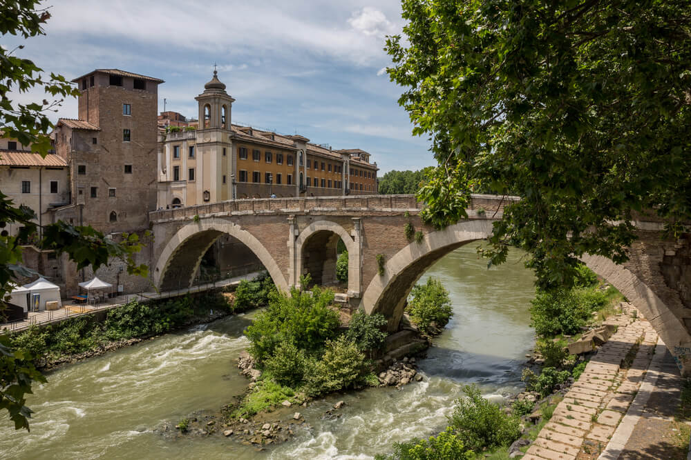
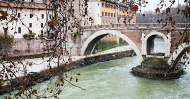
Lucius Fabricius built this bridge in 62 BC to connect Tiber Island with the mainland, and it is the oldest Roman bridge in Rome that remains in its original state. Pedestrians still cross it today.
In the late sixteenth century it picked up the nickname Ponte dei Quattro Capi, the Bridge of Four Heads, after the stone head sculptures on its railings.
Ponte Sant’Angelo, Rome
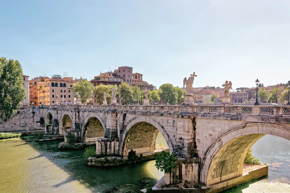
Emperor Hadrian ordered this bridge in the second century so that Romans could reach his own mausoleum, now Castel Sant’Angelo. It was originally called Pons Aelius, and today it is a pedestrian bridge lined with angel statues.
The emperor’s priorities were clear: the bridge existed to serve his tomb, and the city got a river crossing as a bonus.
Pont Julien, France
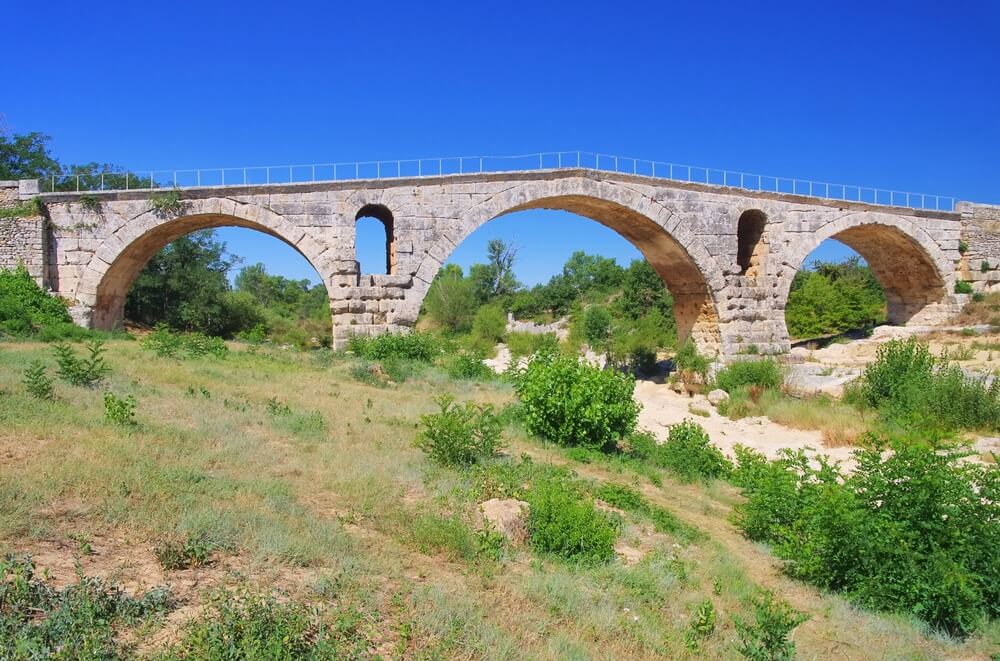
This three-arched limestone bridge spans the Calavon River in Provence for about 262 feet and takes its name from the nearby city of Julia Apta, modern Apt. It carried traffic for centuries, and it was closed to cars only in 2005. Pedestrians and cyclists can still cross it freely.
Alcántara Bridge, Spain
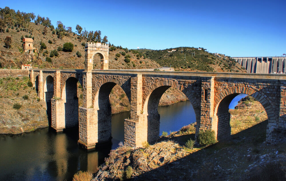
Built between 104 and 106 CE over the Tagus River, this Roman stone arch bridge, known as Trajan’s Bridge, can still be walked by pedestrians. It stands among the oldest surviving bridges in the world that people still use.
Few Roman works outside Italy have kept their original purpose this long.
Ponte Pietra, Verona
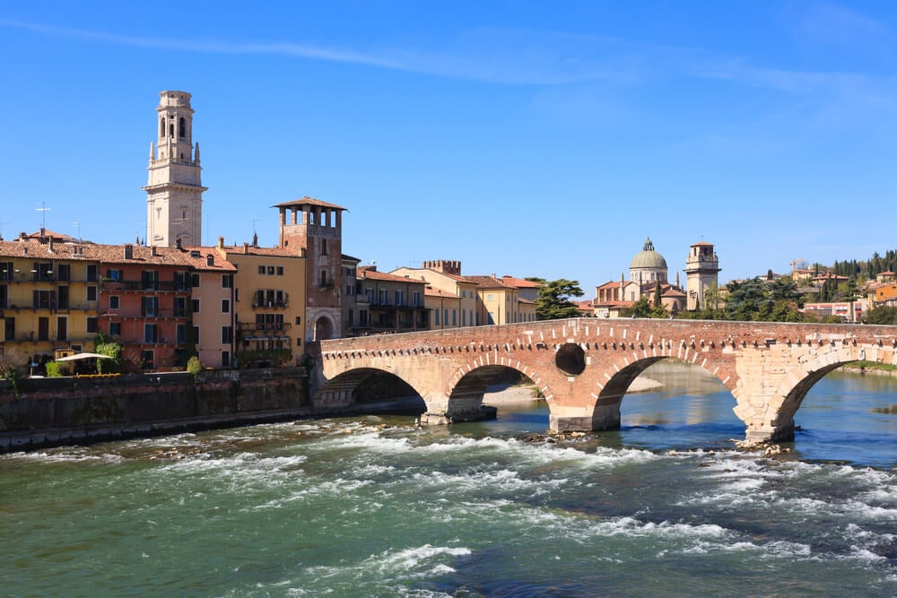
The Ponte Pietra crosses the Adige River in Verona and was once known as the Pons Marmoreus, the marble bridge. It is a Roman arch bridge, though parts of it were rebuilt after it was destroyed in 1945, using stones recovered from the river. Walkers still use it today.
Engineering Built for Everyday Use
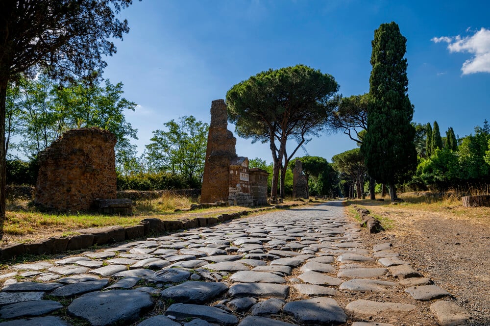
Roman engineers did not build for monuments alone. They built for freight, soldiers, and mail, and that practical focus may explain why so many of their routes remain useful.
Straight alignments, solid foundations, and stone arches turned out to be a durable combination.
Many of the surviving works have changed jobs, from military highways to walking paths and bypassed bridges. Still, the road names, place names, and stone arches remain part of daily life across Europe.
The next time a straight A-road cuts across hilly countryside, there is a decent chance a Roman surveyor drew that line first.
More from Go2Tutors!

- The Romanov Crown Jewels and Their Tragic Fate
- 13 Historical Mysteries That Science Still Can’t Solve
- Famous Hoaxes That Fooled the World for Years
- 15 Child Stars with Tragic Adult Lives
- 16 Famous Jewelry Pieces in History
Like Go2Tutors’s content? Follow us on MSN.