17 Navigation Methods Before the Compass
Long before sailors had magnetic compasses to guide their journeys, ancient travelers developed ingenious ways to find their path across vast oceans, endless deserts, and dense forests. These early navigation techniques relied on careful observation of natural phenomena — from the predictable dance of celestial bodies to the subtle clues hidden in ocean swells and bird behavior.
Humans have always been explorers at heart. Necessity drove them to become master navigators using nothing but their wits and the world around them. Here is a list of 17 remarkable navigation methods that helped our ancestors traverse the globe centuries before modern instruments existed.
Star Patterns
Ancient navigators treated the night sky like a massive map, memorizing the positions and movements of key stars and constellations. The North Star, or Polaris, became particularly valuable since it sits almost directly above the North Pole — barely moving throughout the night.
Sailors could determine their latitude by measuring the angle between Polaris and the horizon using simple tools like their fingers or basic instruments.
Sun Position

The sun’s daily journey across the sky provided ancient travelers with a reliable compass that worked anywhere on Earth. By observing where the sun rose and set, navigators could establish basic cardinal directions even on cloudy days when they caught glimpses of the sun’s position.
They also learned to track the sun’s height at midday to estimate their north-south position, though this required understanding how the sun’s path changed with seasons.
Like Go2Tutors’s content? Follow us on MSN.
Ocean Swells
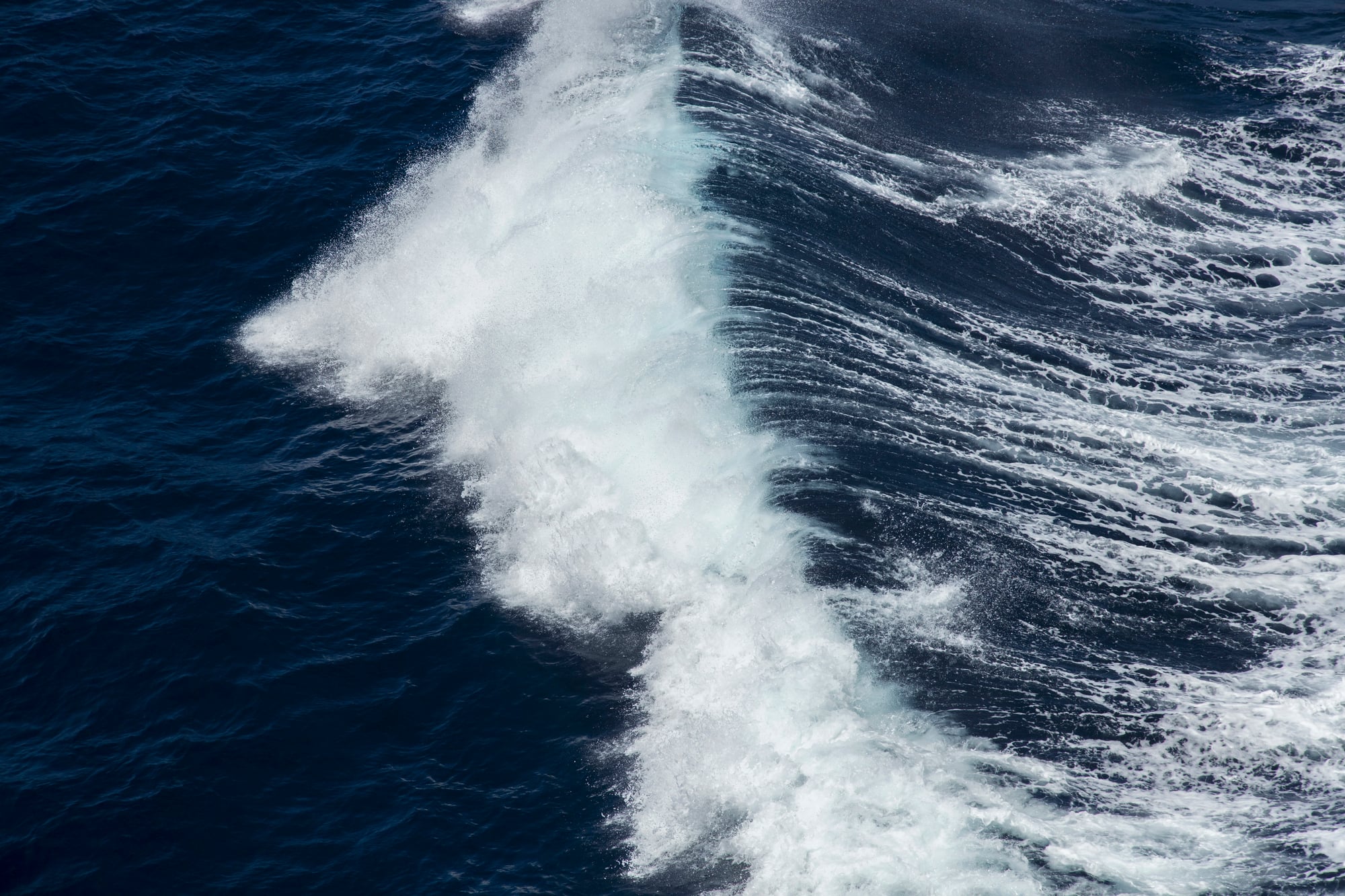
Pacific Island navigators developed an almost supernatural ability to read the ocean’s moods through its swell patterns. These long, rolling waves travel thousands of miles from their source — creating consistent patterns that skilled navigators could follow like underwater highways.
The Marshall Island stick charts, made from bamboo and shells, actually mapped these invisible swell patterns rather than visible landmarks.
Bird Flight Patterns

Seabirds became living compasses for ancient mariners who understood their habits and migration routes. Land birds flying over water almost always indicated nearby coastlines, while certain seabirds like gannets rarely ventured more than 60 miles from shore.
Vikings reportedly released ravens during long voyages — following the birds as they instinctively flew toward the nearest land.
Cloud Formations

Experienced navigators learned to read the sky like both a weather report and navigation guide rolled into one. Clouds often formed differently over land versus water, creating distinctive patterns visible from great distances.
Islands created unique cloud formations due to rising warm air — while shallow lagoons reflected light differently onto the clouds above them, creating subtle color changes that trained eyes could detect.
Like Go2Tutors’s content? Follow us on MSN.
Water Color

The ocean’s changing colors told stories to those who knew how to interpret them. Deep blue water indicated great depths and open ocean, whereas greenish hues suggested shallower areas near land or reefs.
Muddy or brown water often meant river outflows were nearby — signaling the presence of a coastline. These color changes could be spotted from miles away, giving navigators advance warning of changing conditions.
Floating Debris

Ocean currents carried natural messengers in the form of floating vegetation, driftwood, and other debris that revealed information about distant shores. Fresh green vegetation indicated recent departure from land, while certain types of seaweed or logs suggested specific geographic regions.
Even floating seeds and fruits could provide clues about the direction and distance to various islands or continents.
Wind Patterns

Trade winds and seasonal wind patterns created invisible highways across the oceans that ancient navigators learned to ride with remarkable precision. These consistent wind systems — caused by the Earth’s rotation and temperature differences — allowed skilled sailors to predict weather changes accordingly.
The monsoon winds in the Indian Ocean, for example, enabled regular trade between Asia and Africa for centuries.
Like Go2Tutors’s content? Follow us on MSN.
Temperature Changes

Subtle temperature shifts in air and water provided another layer of navigational information for observant travelers. Ocean currents of different temperatures created distinct boundaries that could be felt even when not visible, whereas land masses affected local air temperatures in predictable ways.
Arctic explorers learned to detect the presence of ice or open water by temperature changes — long before they could see these features.
Animal Behavior

Marine life patterns offered a living GPS system for ancient navigators who understood animal behavior. Dolphins and whales followed specific migration routes and feeding areas that remained consistent over generations — while schools of fish congregated in certain areas due to underwater topography or current patterns.
The presence of certain species indicated proximity to specific types of coastlines or water depths.
Phosphorescence

The ocean’s natural light show, created by microscopic organisms called plankton, provided nighttime navigation aids that many people today never experience. These tiny creatures glow when disturbed, creating streaks of light in a ship’s wake or around underwater obstacles.
Different types of phosphorescent displays indicated various water conditions, depths, and even the presence of reefs or shallow areas.
Like Go2Tutors’s content? Follow us on MSN.
Echo Sounding

Long before sonar technology, navigators used their voices and ears to gauge water depth and proximity to shore. Shouting toward suspected coastlines and listening for echoes helped determine distance to cliffs or large land masses.
The sound of waves breaking on different types of shores created distinctive audio signatures that experienced navigators could recognize from remarkable distances.
Smell and Taste

The human nose and tongue became navigation instruments when sailors learned to detect land-based scents carried by offshore winds. The smell of flowers, smoke from fires, or even rotting vegetation could indicate the direction and approximate distance to inhabited areas.
Some navigators actually tasted seawater to detect changes in salinity that might indicate freshwater outflows from rivers or rainfall patterns.
Underwater Light Patterns

Shallow lagoons and coral reefs created distinctive underwater light patterns that skilled navigators could read like road signs. Sunlight reflecting off sandy bottoms created bright patches visible from above, yet deep channels appeared as dark lines or shadows.
These light patterns changed predictably with the sun’s position, allowing navigators to use them throughout the day for precise positioning near island chains.
Like Go2Tutors’s content? Follow us on MSN.
Ice Formation Patterns

Arctic and Antarctic explorers developed expertise in reading ice conditions that could mean the difference between safe passage and disaster. Different types of ice formations indicated water depth, current strength, and seasonal changes that affected navigation routes.
The color and texture of ice revealed its age and stability, though the sound of ice movement provided warnings about changing conditions.
Landmark Triangulation

Ancient navigators mastered the art of using multiple visible landmarks to pinpoint their exact position through triangulation techniques. By measuring angles between known mountains, islands, or other permanent features, they could calculate their location with surprising accuracy.
This method worked particularly well in coastal areas where multiple reference points remained visible simultaneously.
Magnetic Declination
Even before magnetic compasses became common, some cultures discovered that certain rocks and minerals could indicate magnetic north. Lodestone, a naturally magnetized mineral, was used by Chinese navigators as early as the 2nd century BCE.
They learned that magnetic north differed from true north by varying amounts depending on geographic location, a phenomenon called magnetic declination that still affects navigation today.
Like Go2Tutors’s content? Follow us on MSN.
The Endless Innovation of Human Navigation

These ancient navigation methods represent humanity’s remarkable ability to adapt and innovate when faced with seemingly impossible challenges. While modern GPS technology has made navigation effortless, these traditional techniques required generations of accumulated knowledge, careful observation, and an intimate understanding of natural patterns.
Many of these methods are still taught today as backup skills for when technology fails — proving that sometimes the oldest solutions remain the most reliable.
More from Go2Tutors!

- 16 Historical Figures Who Were Nothing Like You Think
- 12 Things Sold in the 80s That Are Now Illegal
- 15 VHS Tapes That Could Be Worth Thousands
- 17 Historical “What Ifs” That Would Have Changed Everything
- 18 TV Shows That Vanished Without a Finale
Like Go2Tutors’s content? Follow us on MSN.