25 Borders Between Countries That Changed Hands Multiple Times in a Single Century
Borders are often presented as permanent facts — lines on a map that define where one country ends and another begins, as though they had always been there and always would be. In practice, many of the world’s most significant borders have moved repeatedly, sometimes within the span of a single human lifetime.
The twentieth century was particularly violent in this regard: two world wars, the collapse of empires, the spread and then retreat of Soviet power, and a cascade of post-colonial reorganizations collectively redrew the political map of the planet multiple times over.
For the people who lived in the territories that changed hands, each transition meant new governments, new official languages, new curricula in schools, new flags on public buildings, and sometimes new names for the towns they had always lived in. Some regions changed sovereignty four or five times in a century.
Here are twenty-five of the most repeatedly contested pieces of territory in the modern era.
Alsace-Lorraine (France/Germany)
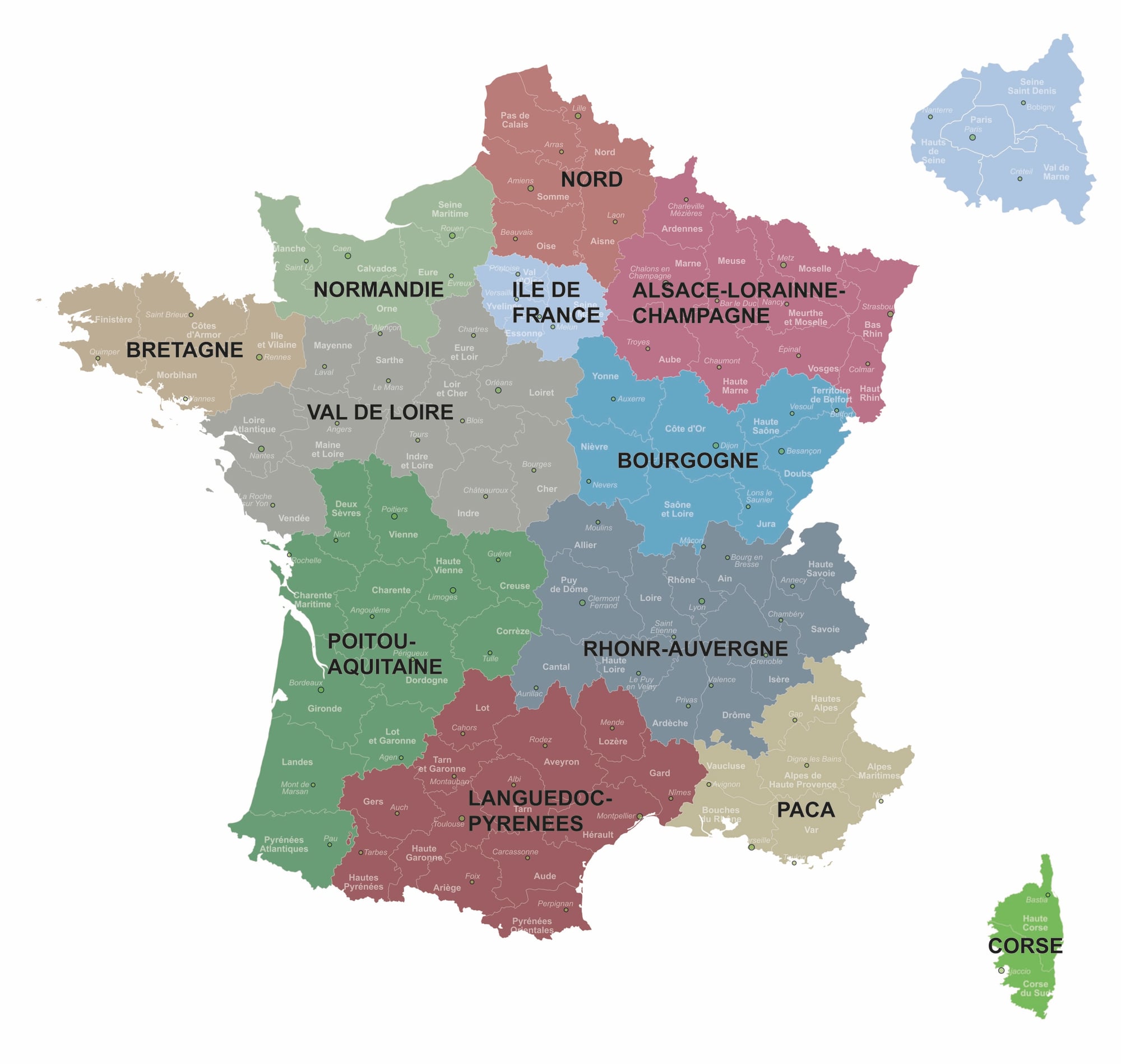
Alsace-Lorraine has changed hands between France and Germany four times in less than two centuries. France lost the territory to the newly unified German Empire after the Franco-Prussian War in 1871.
Under the Treaty of Versailles it returned to France in 1919. Germany annexed it again in 1940 following the fall of France.
At the end of that war in 1945, it returned permanently to French sovereignty. The generation born around 1900 lived under four different governmental regimes without ever leaving the region.
Transylvania (Romania/Hungary)
Transylvania became part of Romania after World War I under the Treaty of Trianon in 1920. In 1940, the Second Vienna Award — arranged under pressure from Nazi Germany and Fascist Italy — transferred the northern half back to Hungary.
In 1945, after Hungary’s defeat with the Axis powers, the entire region returned to Romania. The border established in 1945 has held since.
Bessarabia (Russia/Romania/Moldova/Ukraine)
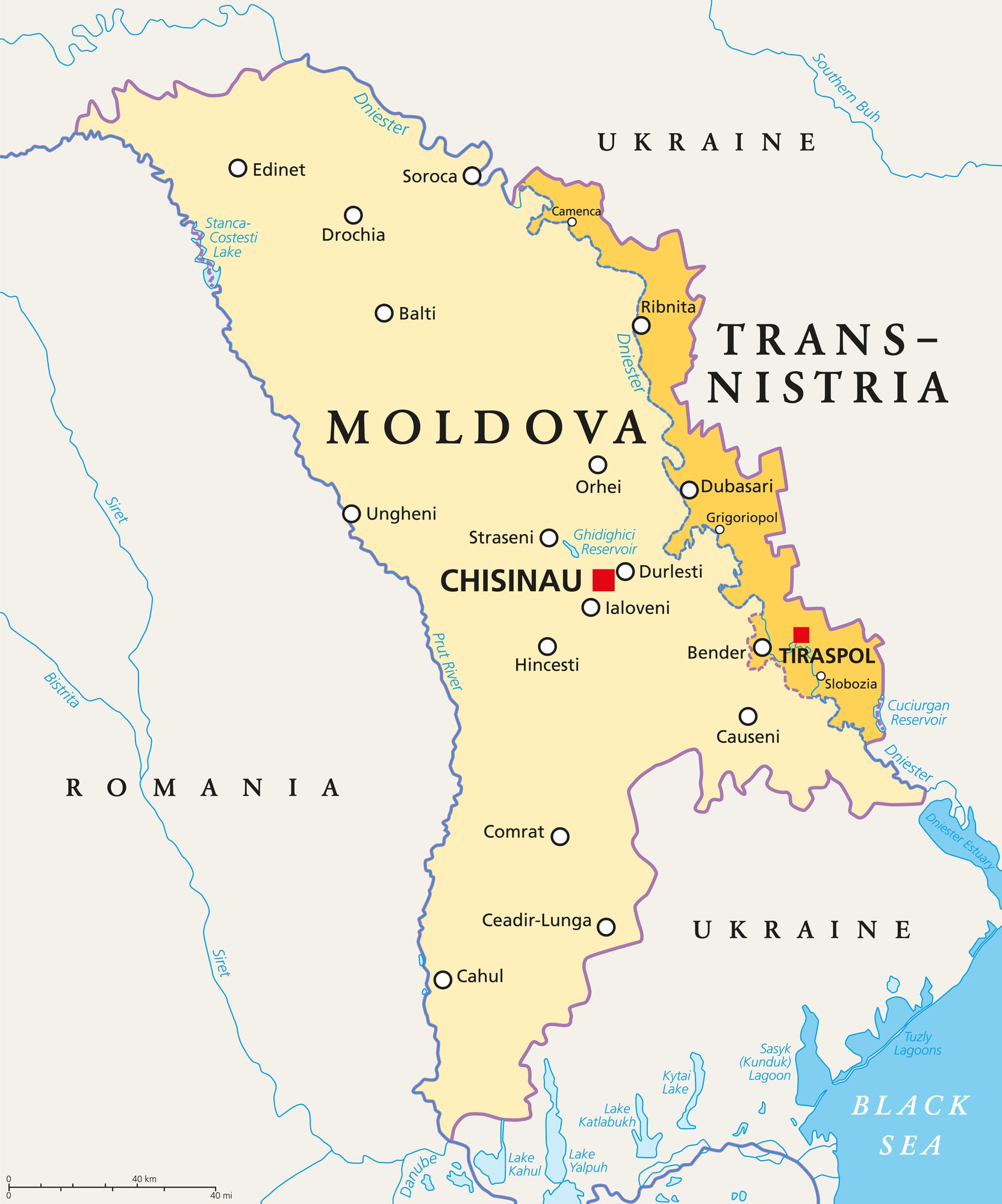
In the twentieth century alone: Romania obtained Bessarabia after World War I, the Soviet Union seized it in 1940 under the Molotov-Ribbentrop Pact, Romania reoccupied it during World War II, and the Soviet Union retook it in 1944.
After 1991, the region split between the Republic of Moldova and Ukraine. Its capital, Chișinău, changed official language, alphabet, and governmental system repeatedly across a single century.
Vilnius (Lithuania/Poland/Soviet Union)
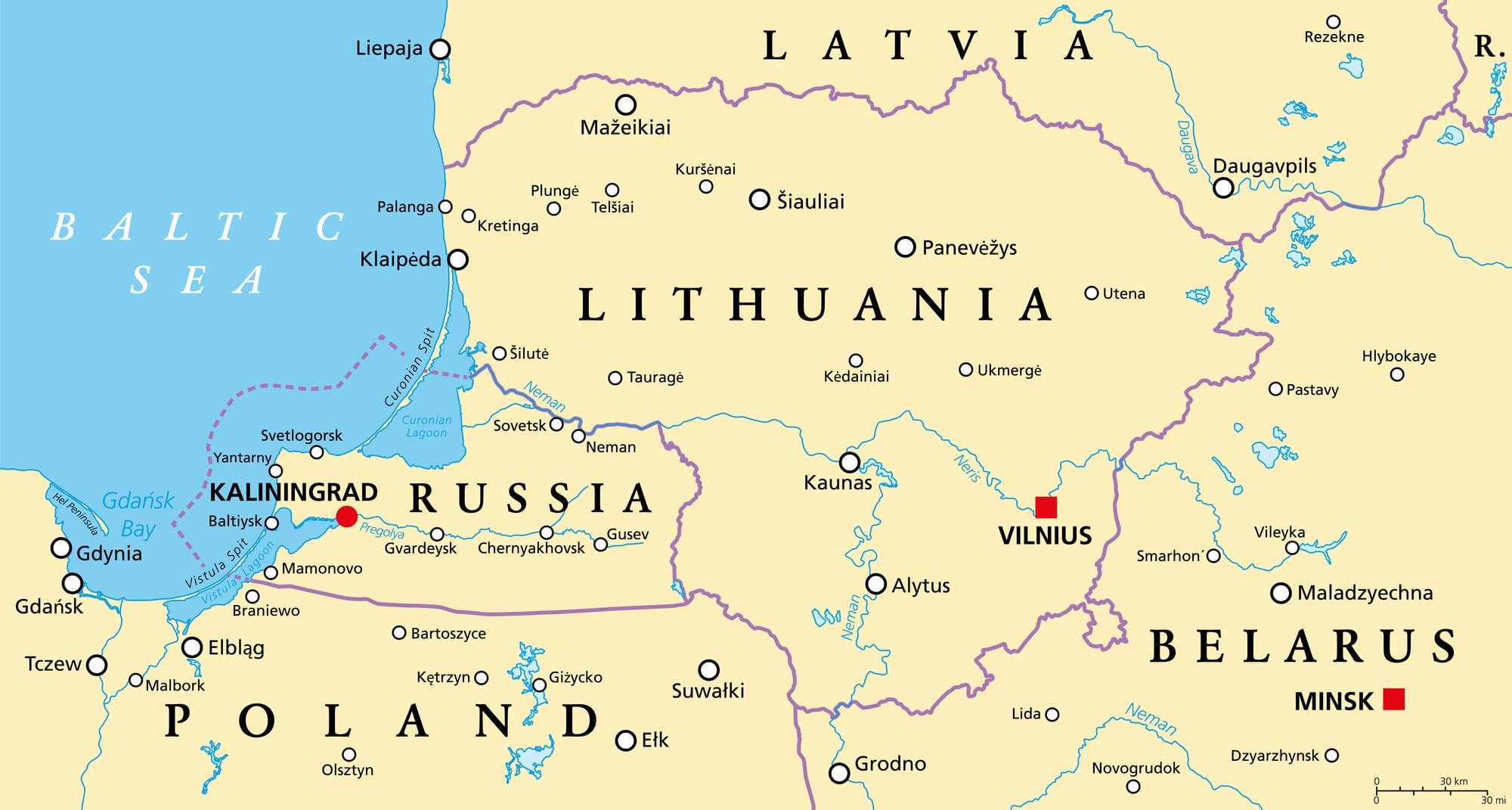
Vilnius — known as Wilno in Polish and Vilna in Russian — was at the start of the twentieth century a multilingual city within the Russian Empire. After World War I both Lithuania and Poland claimed it as their rightful capital.
Poland controlled it from the early 1920s. In 1939, Soviet forces occupied the region before handing Vilnius to Lithuania.
Lithuania then came under Soviet occupation in 1940. German forces occupied the city during World War II, after which Soviet rule resumed until Lithuanian independence in 1990.
Its disputed sovereignty ran through at least six distinct political phases in fewer than eighty years.
Danzig / Gdańsk (Prussia/Poland/Germany)
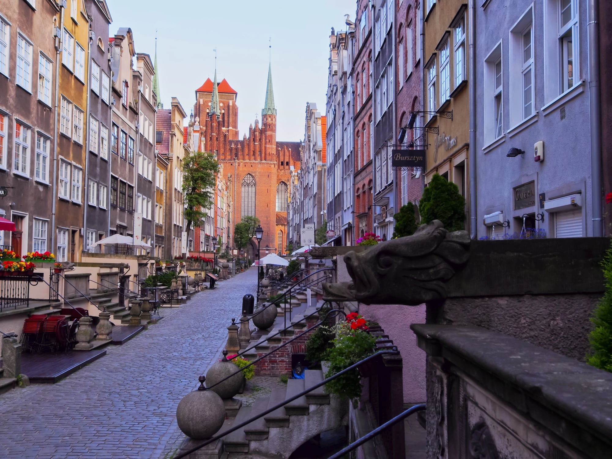
The port city of Danzig was separated from Germany after World War I and constituted as a Free City under League of Nations protection. In September 1939, Germany annexed Danzig and incorporated it into the Reich — an act that formed part of the immediate trigger for World War II.
In 1945, Soviet and Polish forces took the city and it became the Polish city of Gdańsk, with its German population expelled. In 1980, Gdańsk’s Lenin Shipyard became the birthplace of the Solidarity trade union movement.
The same city served as both the spark of one world war and the seed of the Cold War’s end.
Memel / Klaipėda (Germany/Lithuania/Soviet Union)
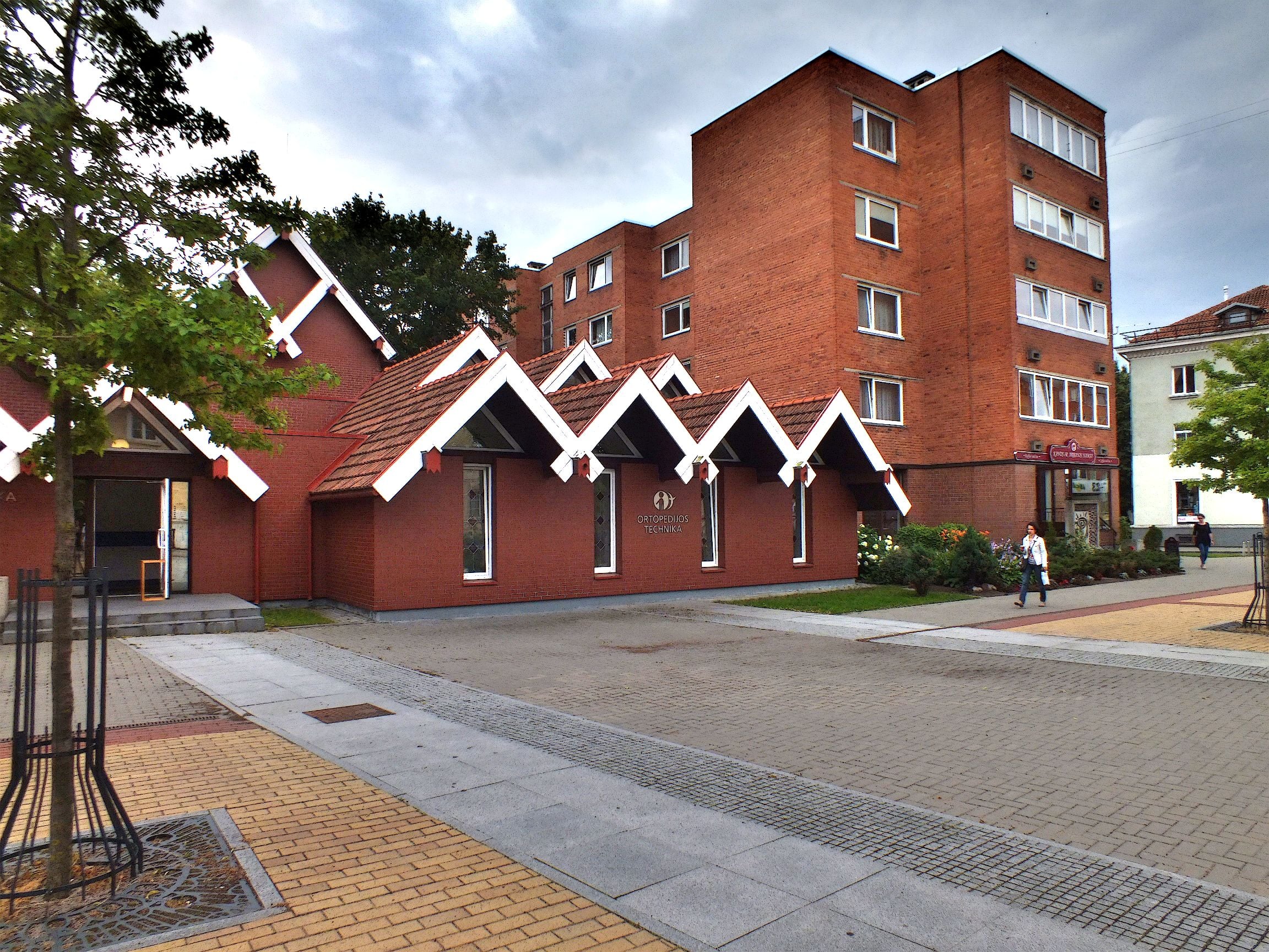
The Memel region was transferred from Germany to Allied authority under the Treaty of Versailles in 1919, then seized by Lithuanian forces in January 1923. Germany reclaimed Memel in March 1939 under pressure applied by Hitler, making it the first territorial annexation of the period preceding World War II.
After the war it became Klaipėda, part of Soviet Lithuania, and is now the third-largest city in independent Lithuania. A generation of residents in the 1930s experienced Lithuanian, German, and Soviet governance in less than twenty years.
Trieste (Austria-Hungary/Italy/Free Territory/Yugoslavia)
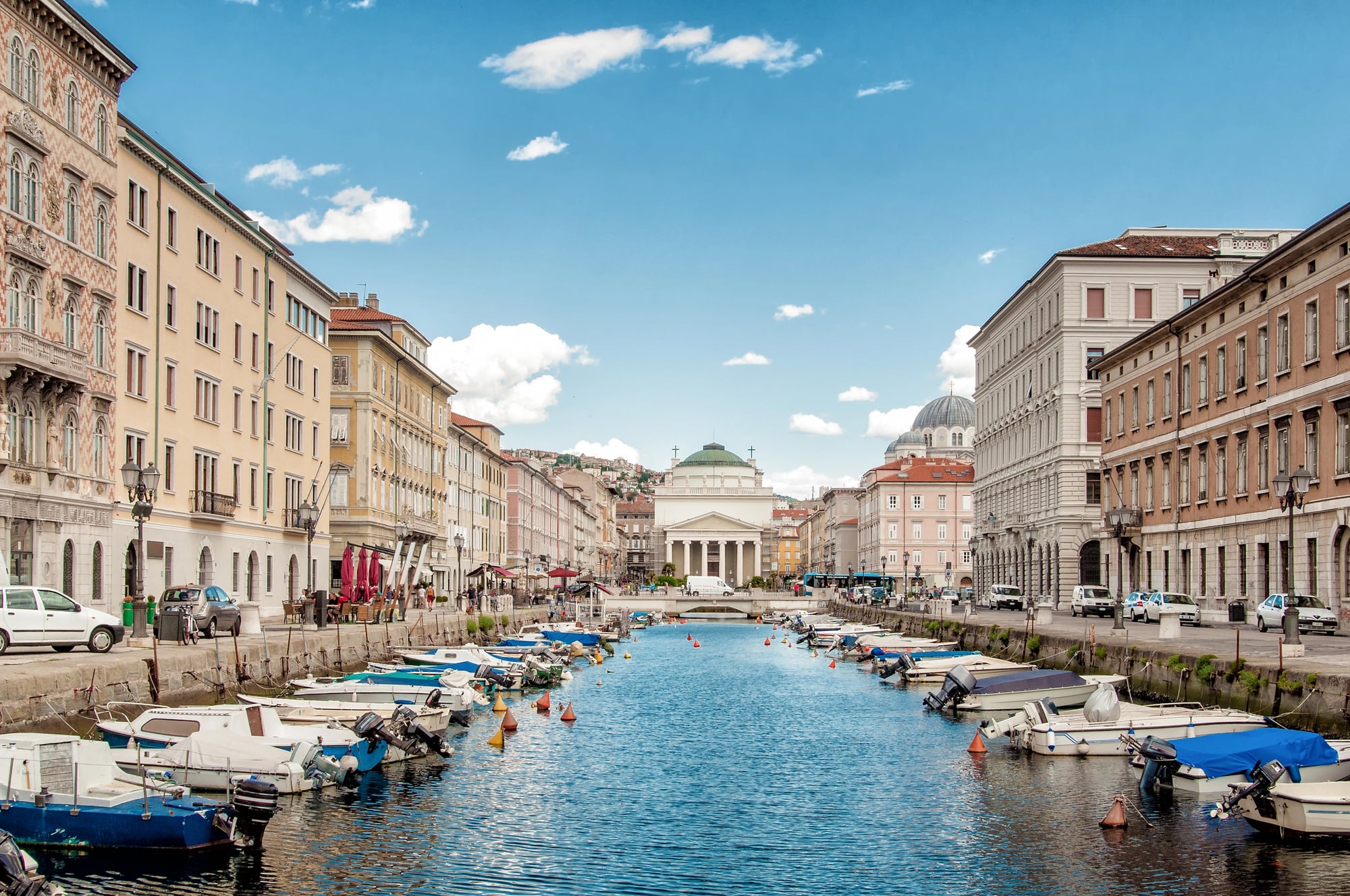
Trieste became part of Italy after World War I. After World War II, with both Italy and Yugoslavia claiming it, the city was constituted as the Free Territory of Trieste — an independent entity under UN Security Council protection from 1947 to 1954.
Zone A was administered by the Western Allies; Zone B by Yugoslavia. The 1954 Memorandum of Understanding gave the city to Italy.
The final formal settlement was not reached until the 1975 Treaty of Osimo.
Upper Silesia (Germany/Poland)
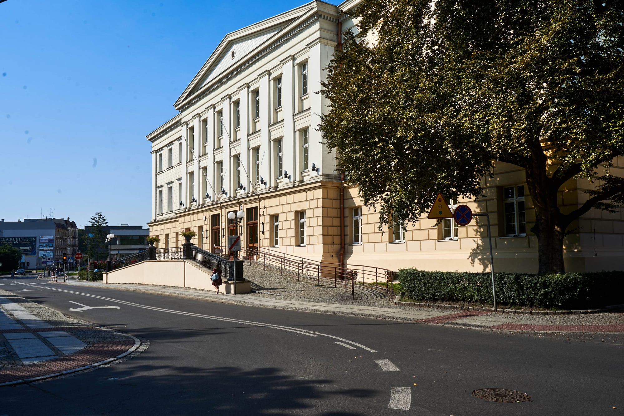
Upper Silesia was the subject of a League of Nations plebiscite in March 1921, in which a majority voted to remain in Germany. The League nonetheless divided the region, awarding the more industrialized eastern portion to Poland.
After the German invasion of Poland in 1939, the entire region was incorporated into the Reich. At the end of World War II, most of Upper Silesia was transferred to Poland and its German-speaking population expelled westward.
The region had changed legal sovereign three times in twenty-five years and the majority of its inhabitants had been replaced by forced migration.
The Sudetenland (Austria-Hungary/Czechoslovakia/Germany)
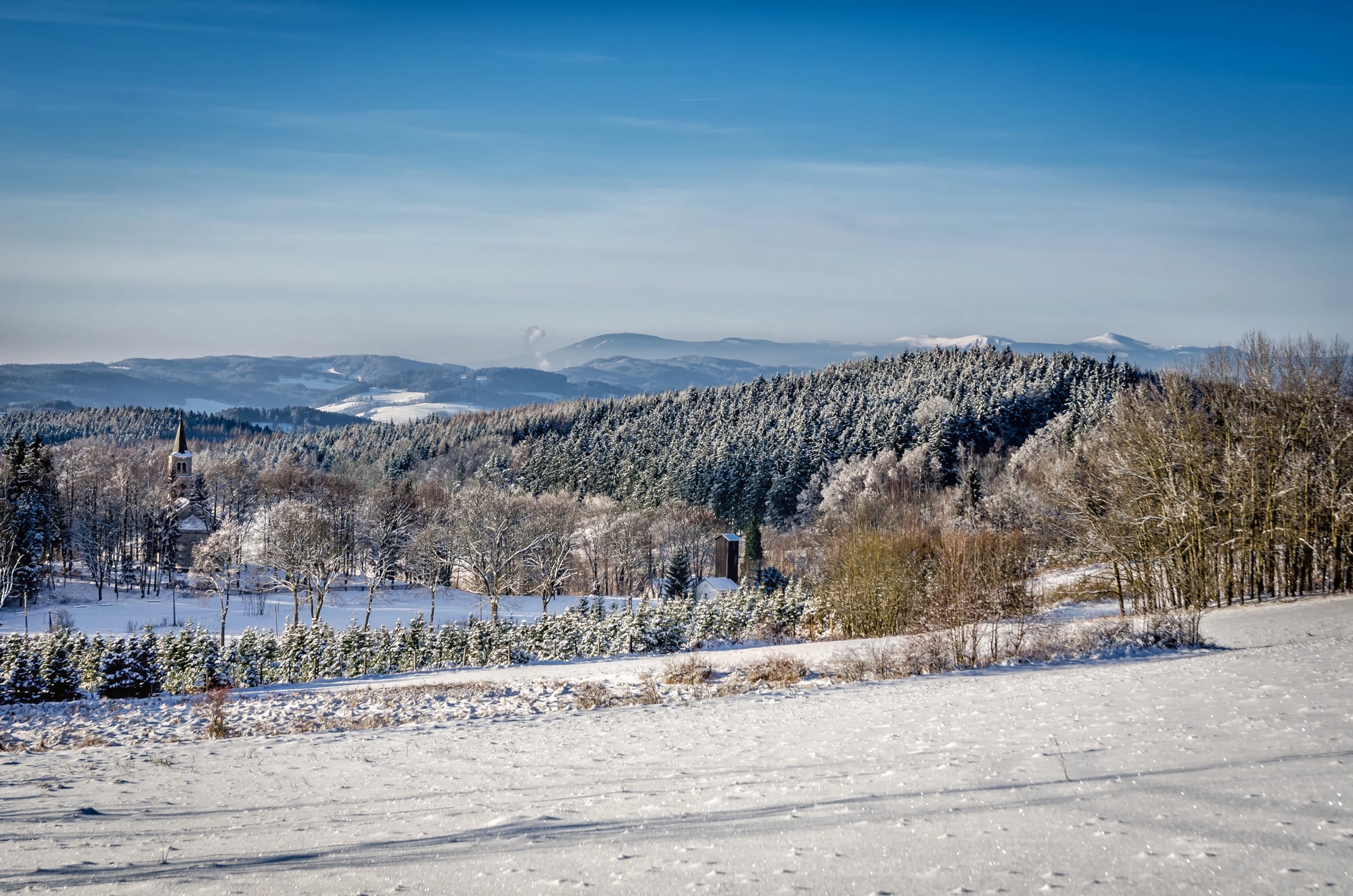
The Sudetenland — the German-speaking borderlands of Bohemia and Moravia — became part of the newly created Czechoslovakia after World War I. In 1938, under the Munich Agreement signed by Britain, France, Germany, and Italy, the territory was transferred to Nazi Germany.
In 1939, Germany occupied the rest of Czechoslovakia. After World War II, the Sudetenland was returned to Czechoslovakia and the region’s three million German-speaking inhabitants were expelled — a massive forced migration sanctioned by the Potsdam Agreement whose moral and legal status remains contested.
Crimea (Russia/Ukraine/Russia)
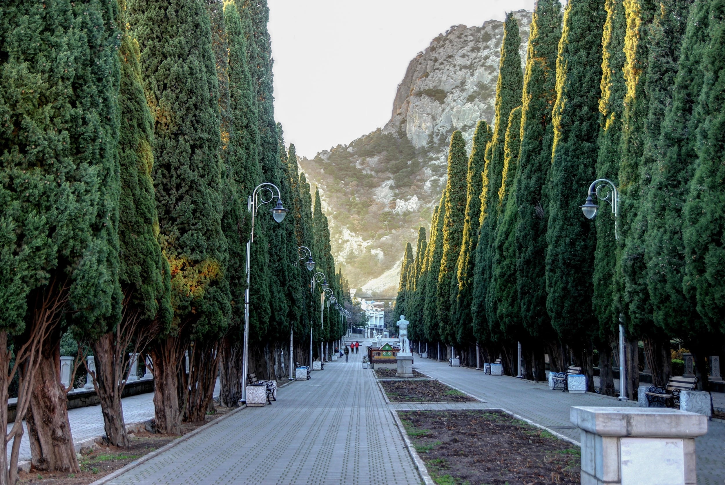
Crimea was transferred administratively from Russia to the Ukrainian Soviet Socialist Republic in 1954 — a move of limited practical significance within the Soviet system. When the Soviet Union collapsed in 1991, Crimea became part of independent Ukraine.
In 2014, Russia annexed Crimea following a disputed referendum, a move not recognized by most of the international community. The territory’s legal status at the present moment remains bitterly contested.
Nagorno-Karabakh (Azerbaijan/Armenia)
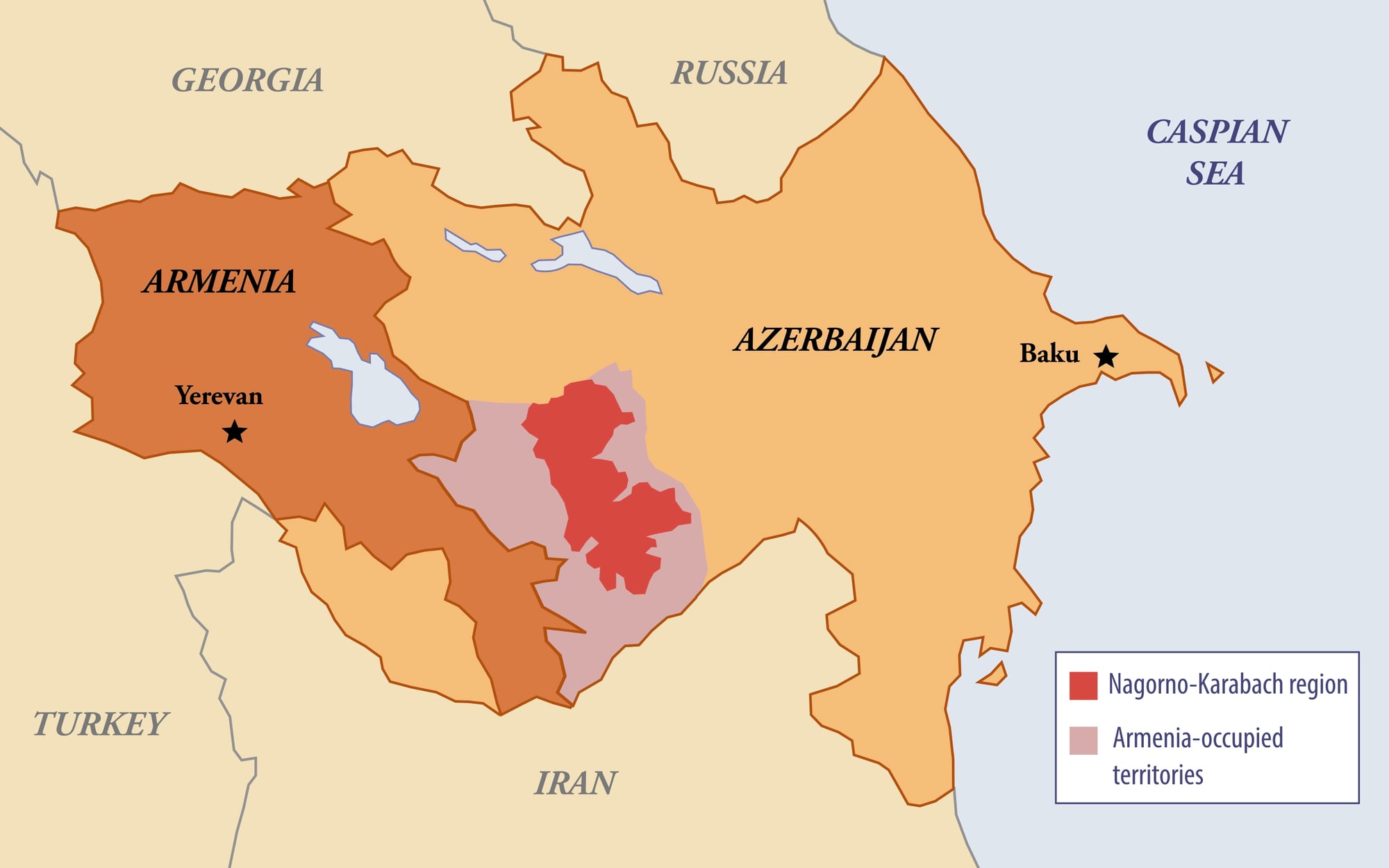
Nagorno-Karabakh was placed within the Soviet Republic of Azerbaijan in the 1920s despite having a majority ethnic Armenian population. When the Soviet Union weakened, war ran from 1988 to 1994, producing tens of thousands of casualties.
A 1994 ceasefire left most of the region under Armenian-backed control. In 2020, a forty-four-day war allowed Azerbaijan to recapture significant territory.
In September 2023, a rapid Azerbaijani military offensive resulted in the dissolution of the Armenian administration in the region and the mass exodus of its ethnic Armenian population.
Galicia (Austria-Hungary/Poland/Soviet Union/Ukraine)
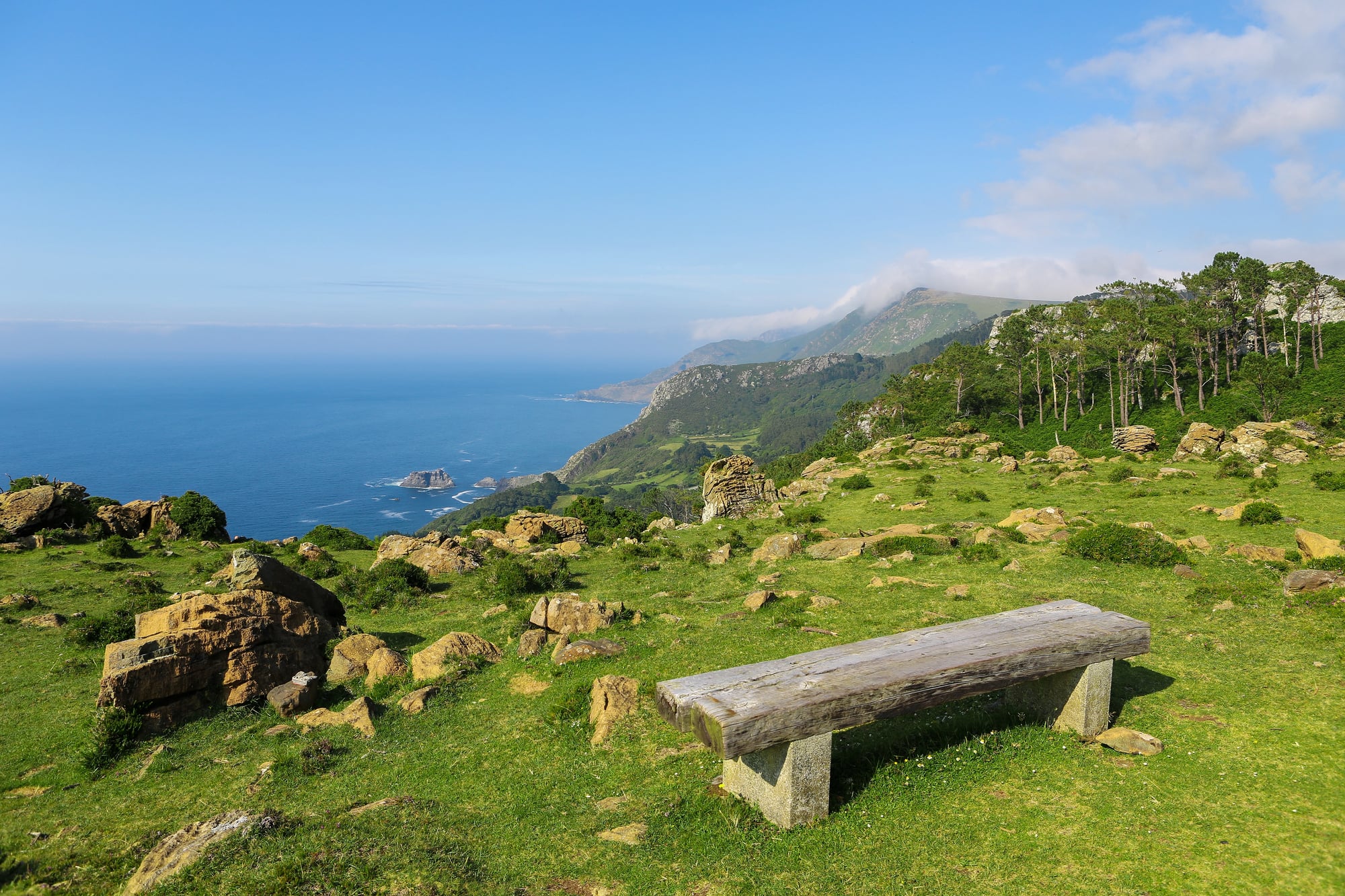
Eastern Galicia — now western Ukraine — spent the early twentieth century as part of the Austro-Hungarian Empire. After World War I it became part of the reborn Polish state, with Lviv becoming a major Polish cultural and academic centre.
The Soviet Union occupied eastern Galicia in 1939. German forces occupied it from 1941 to 1944, during which time the majority of the region’s Jewish population was murdered.
Soviet forces returned in 1944, and in 1991 the region became part of independent Ukraine.
The Saar (Germany/League of Nations/France)
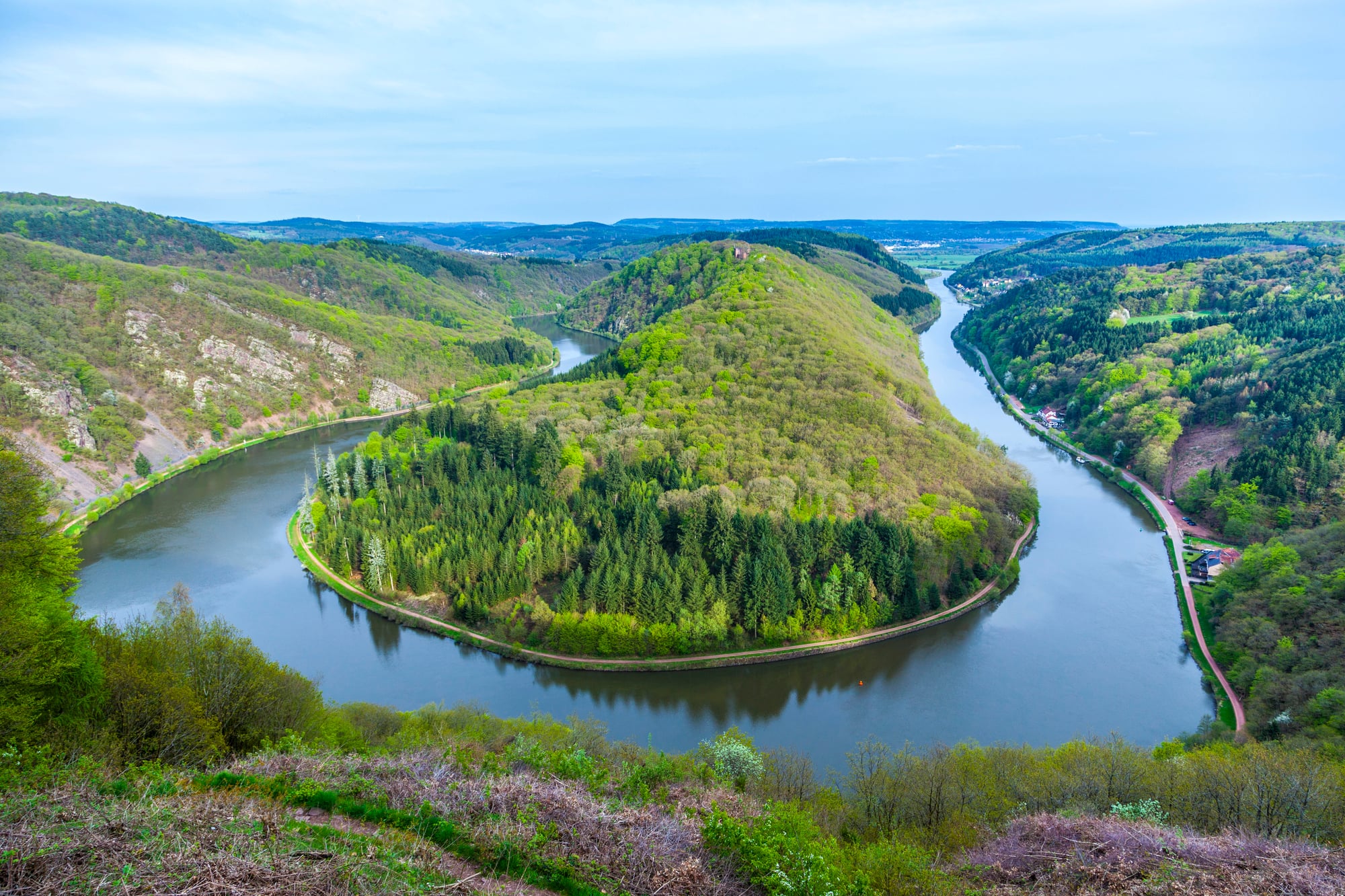
The Saar Basin was placed under League of Nations administration after World War I, with France controlling its coal mines as part of war reparations. In January 1935, a plebiscite returned the Saar to Germany — over ninety percent of voters chose reunification.
After World War II, the Saar came under French administration again and existed as a protectorate until 1955, when another plebiscite produced a majority for reunification with West Germany, completed in 1957.
Kashmir (British India/India/Pakistan)
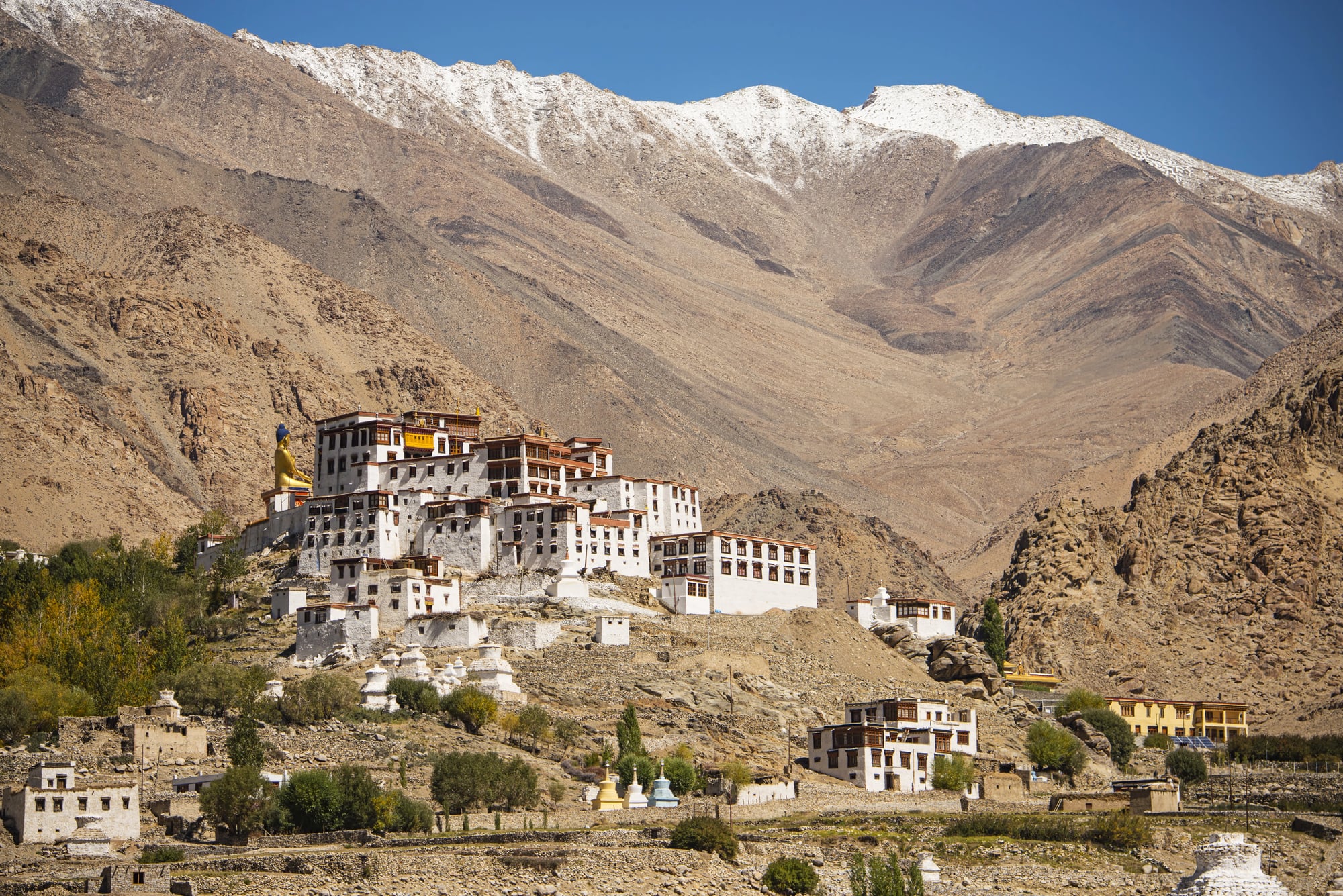
When British India was partitioned in August 1947, the princely state of Jammu and Kashmir’s Hindu maharaja signed an accession instrument with India after Pakistani-backed tribal fighters entered the territory. The resulting war established a Line of Control that divided the region.
A brief war in 1965 and the Kargil conflict in 1999 altered positions along the line without changing the overall division. In 2019, India revoked the special autonomous status of its portion and reorganized it into union territories, further complicating an already unresolved situation.
The Kuril Islands (Russia/Japan)
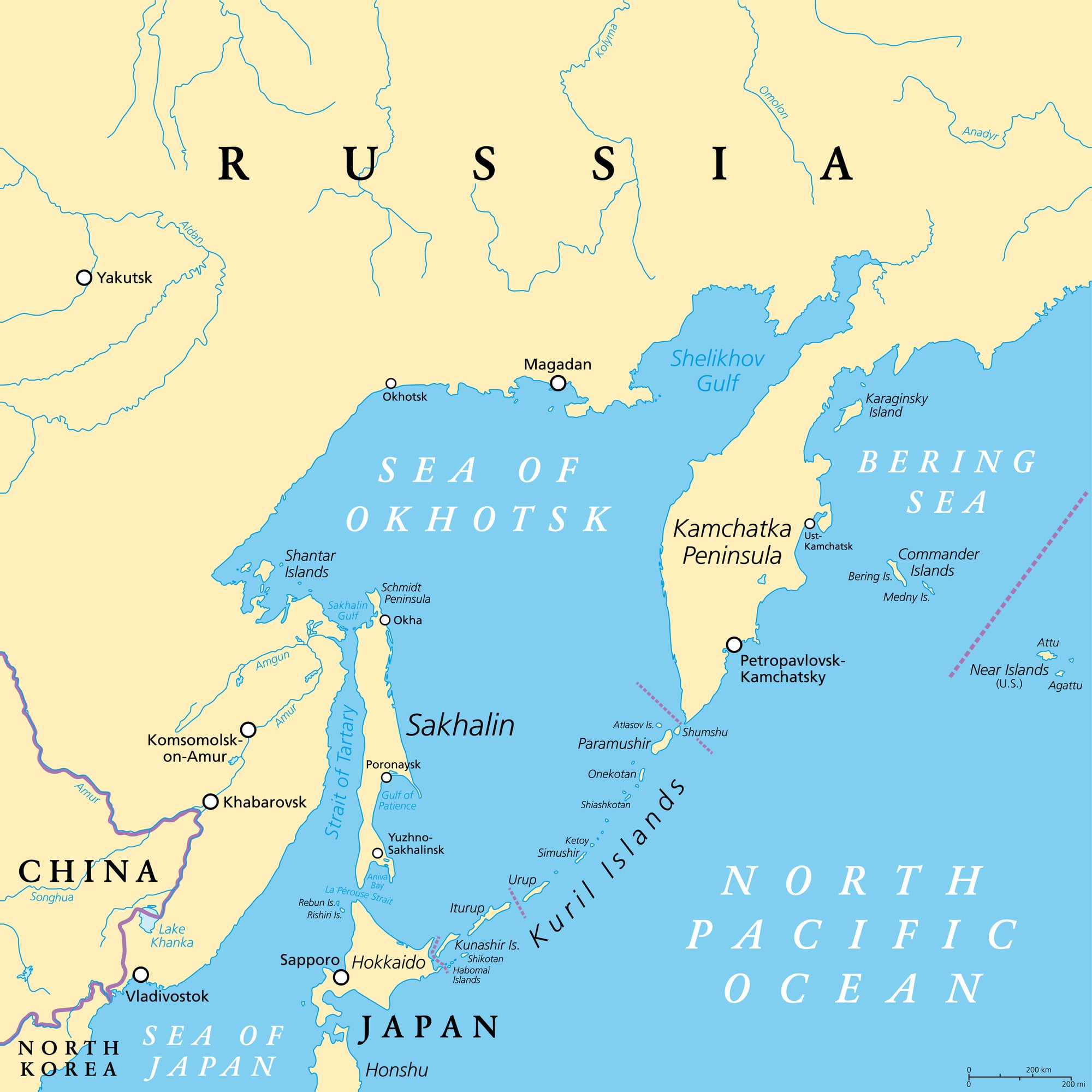
The southernmost Kuril Islands — called the Northern Territories in Japan — were held by Japan until Soviet forces occupied them in the final days of World War II in August 1945. Japan has never formally recognized the transfer, and no peace treaty between Russia and Japan has been signed.
The dispute remains the principal obstacle to a formal conclusion of World War II hostilities between the two countries.
Kaliningrad (Germany/Soviet Union/Russia)
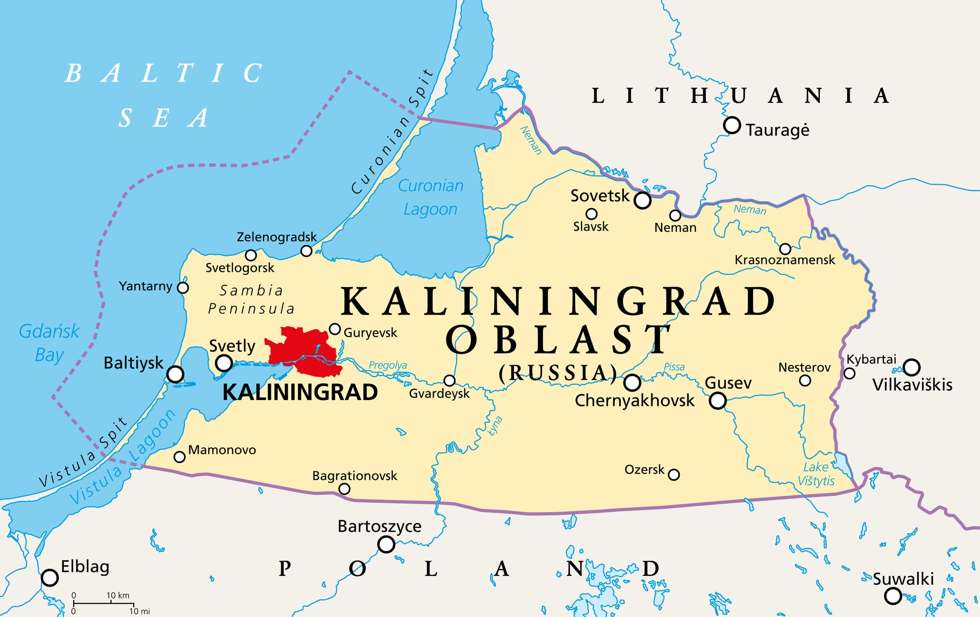
The city of Königsberg in East Prussia — birthplace of the philosopher Immanuel Kant — was captured by Soviet forces in April 1945 and renamed Kaliningrad, its German population expelled. After the dissolution of the Soviet Union in 1991, Kaliningrad became a Russian exclave surrounded entirely by EU and NATO territory — Lithuania to the north and east, Poland to the south, and the Baltic Sea.
It is the only piece of territory Russia retained from its westward expansion in 1945 that is geographically separated from the Russian mainland.
Western Sahara (Spain/Morocco/Polisario Front)
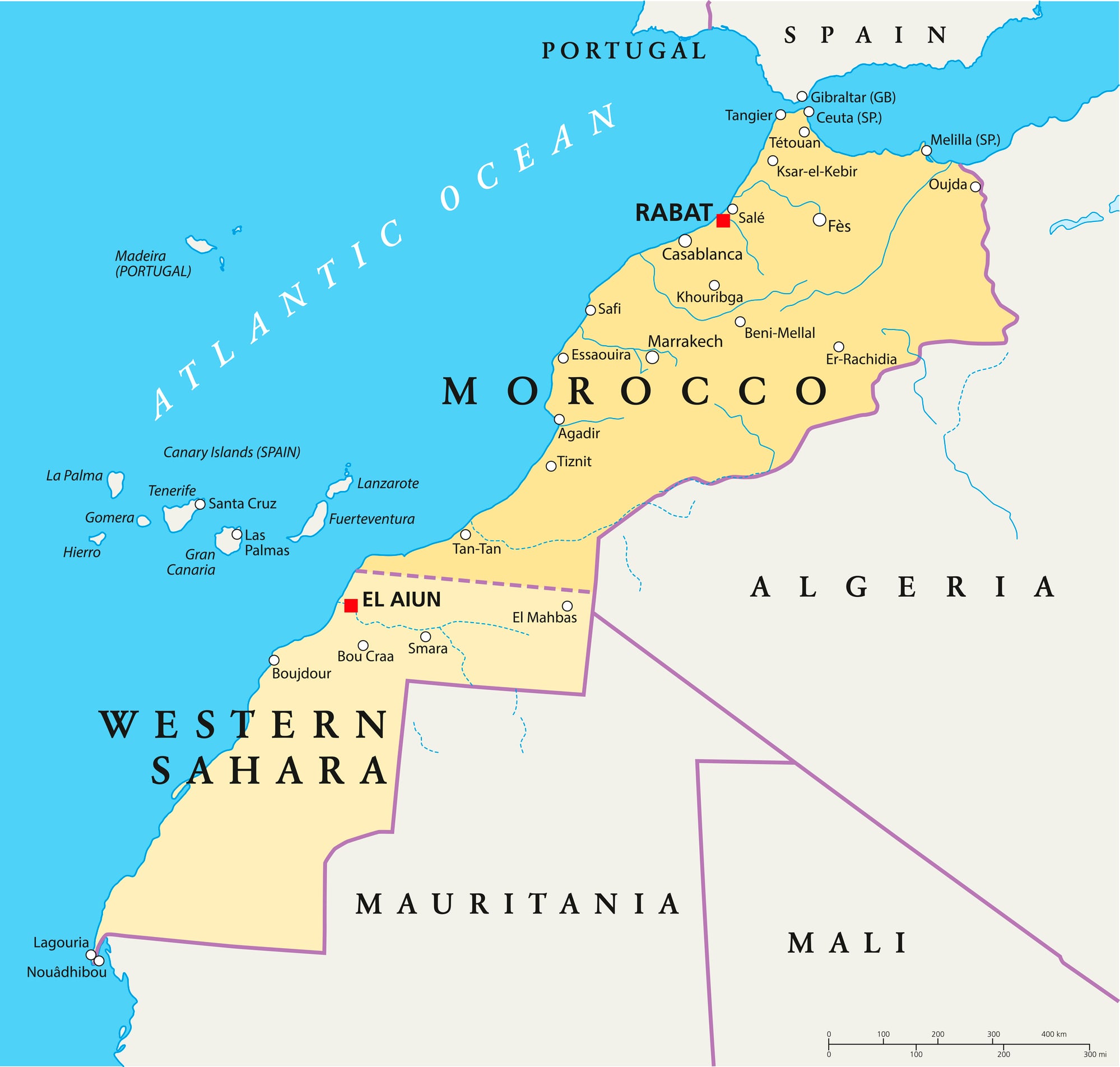
Spain administered Western Sahara as a colony until 1975, when it withdrew under pressure from Morocco and Mauritania. Morocco and Mauritania divided the territory; Mauritania subsequently renounced its claim.
The Polisario Front fought a guerrilla war against Morocco until a UN-brokered ceasefire in 1991, which was supposed to lead to a self-determination referendum that has never been held. Morocco controls the majority of the territory; the Polisario administers refugee camps in Algeria.
The territory’s status remains the last significant unresolved territorial question from Africa’s decolonization.
South Ossetia and Abkhazia (Georgia/Russia)
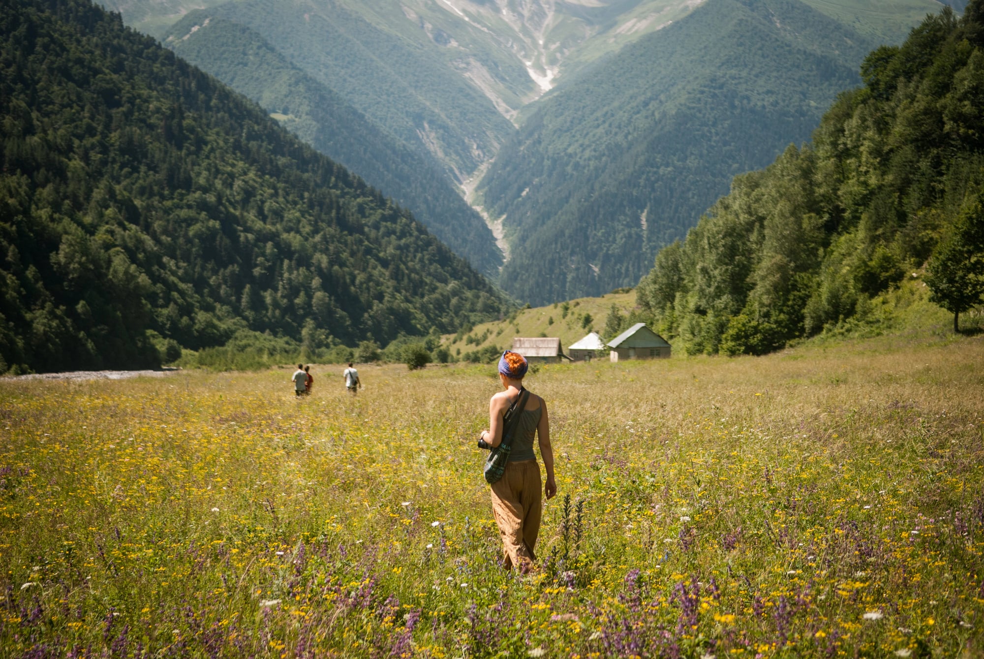
Both South Ossetia and Abkhazia were autonomous regions within the Soviet Republic of Georgia. When Georgia declared independence in 1991, both regions resisted incorporation into the Georgian state, with Russian support.
A brief war in 2008 ended with Russia recognizing both regions as independent states — recognition shared by only a handful of other countries. Most of the international community continues to regard them as Georgian territory under Russian occupation.
Kosovo (Yugoslavia/Serbia/Independent)
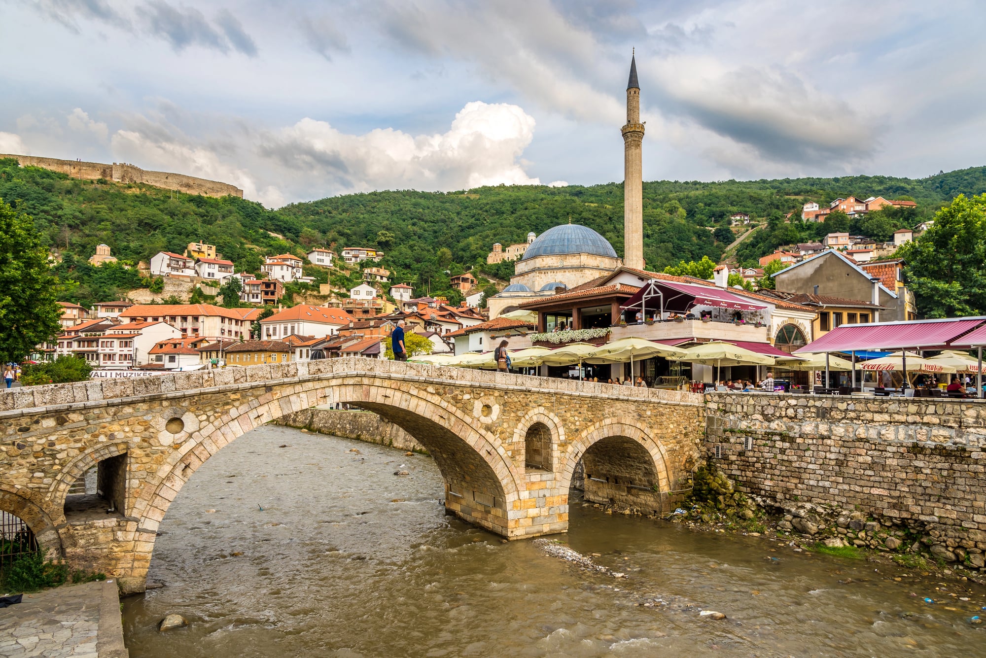
Kosovo was an autonomous province within Serbia in the Yugoslav federation, with a majority Albanian population. After the 1998-1999 Kosovo War, NATO forces intervened and Kosovo came under UN administration.
In 2008, Kosovo declared independence, recognized by over a hundred countries including the United States and most EU members, but not by Serbia, Russia, China, or five EU member states. It functions as an independent state with its own institutions, currency, and international sporting participation.
Fiume / Rijeka (Austria-Hungary/Italy/Free State/Yugoslavia)
The city of Fiume — now Rijeka in Croatia — was claimed by Italy following World War I. Italian nationalist Gabriele D’Annunzio led a paramilitary force that seized the city in September 1919 and held it for over a year as a proto-fascist city-state.
The 1920 Treaty of Rapallo made Fiume a free state. Italy annexed it in 1924.
After World War II it was assigned to Yugoslavia and is now part of Croatia.
The Åland Islands (Russia/Finland/Autonomous Region)
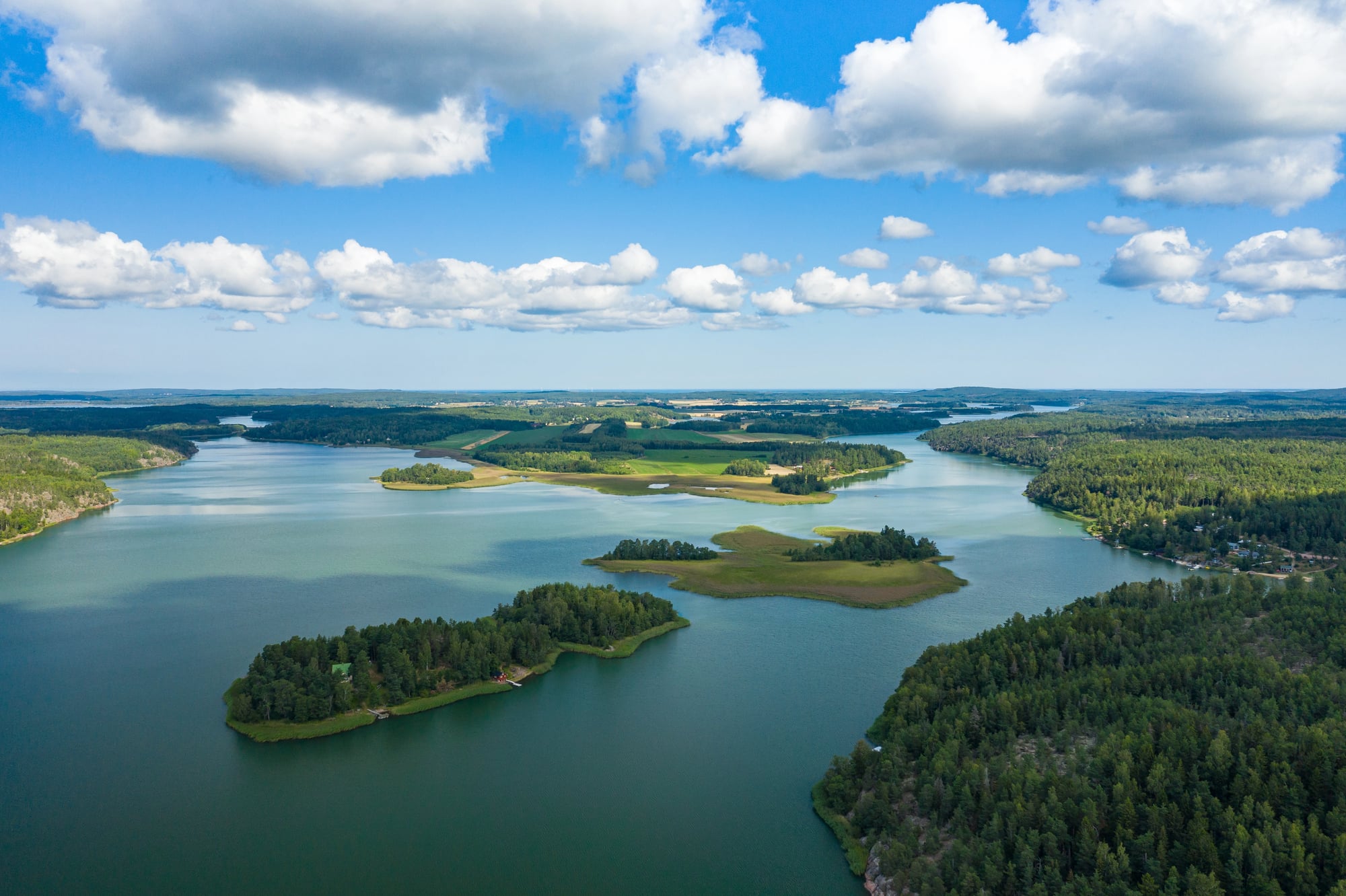
The Åland Islands were Swedish-speaking but had been part of the Russian Empire since 1809. When Finland declared independence in 1917, the islands’ Swedish-speaking population sought reunification with Sweden.
The League of Nations in 1921 assigned the islands to Finland on the condition that they remain demilitarized and granted substantial autonomy with Swedish as the only official language. The arrangement has held for over a century and is often cited as a successful model for resolving minority territorial disputes through autonomy rather than border change.
Eastern Poland / Western Ukraine and Belarus
The eastern territories of interwar Poland were occupied by the Soviet Union in September 1939 under the Molotov-Ribbentrop Pact, retaken by Germany in 1941, and reoccupied by Soviet forces in 1944. At the Yalta Conference in 1945, Britain and the United States accepted the Soviet position that these territories would remain part of the Soviet Union, compensating Poland with German territory to the west.
The result was that Poland was physically moved westward on the map — its borders shifted hundreds of kilometres.
Bukovina (Austria-Hungary/Romania/Soviet Union/Ukraine)
Northern Bukovina was part of the Austro-Hungarian Empire until 1918, when it was incorporated into Romania. The Soviet Union annexed it in 1940 as part of the same ultimatum that took Bessarabia.
Romania reoccupied it during World War II, and Soviet forces retook it in 1944. It has been part of Ukraine since 1991.
Its capital Chernivtsi — known as Czernowitz in German and Cernăuți in Romanian — was a significant centre of German-language Jewish culture before the war, a fact represented in the writing of poet Paul Celan, who was born there in 1920.
The Dodecanese (Ottoman Empire/Italy/Germany/Greece)
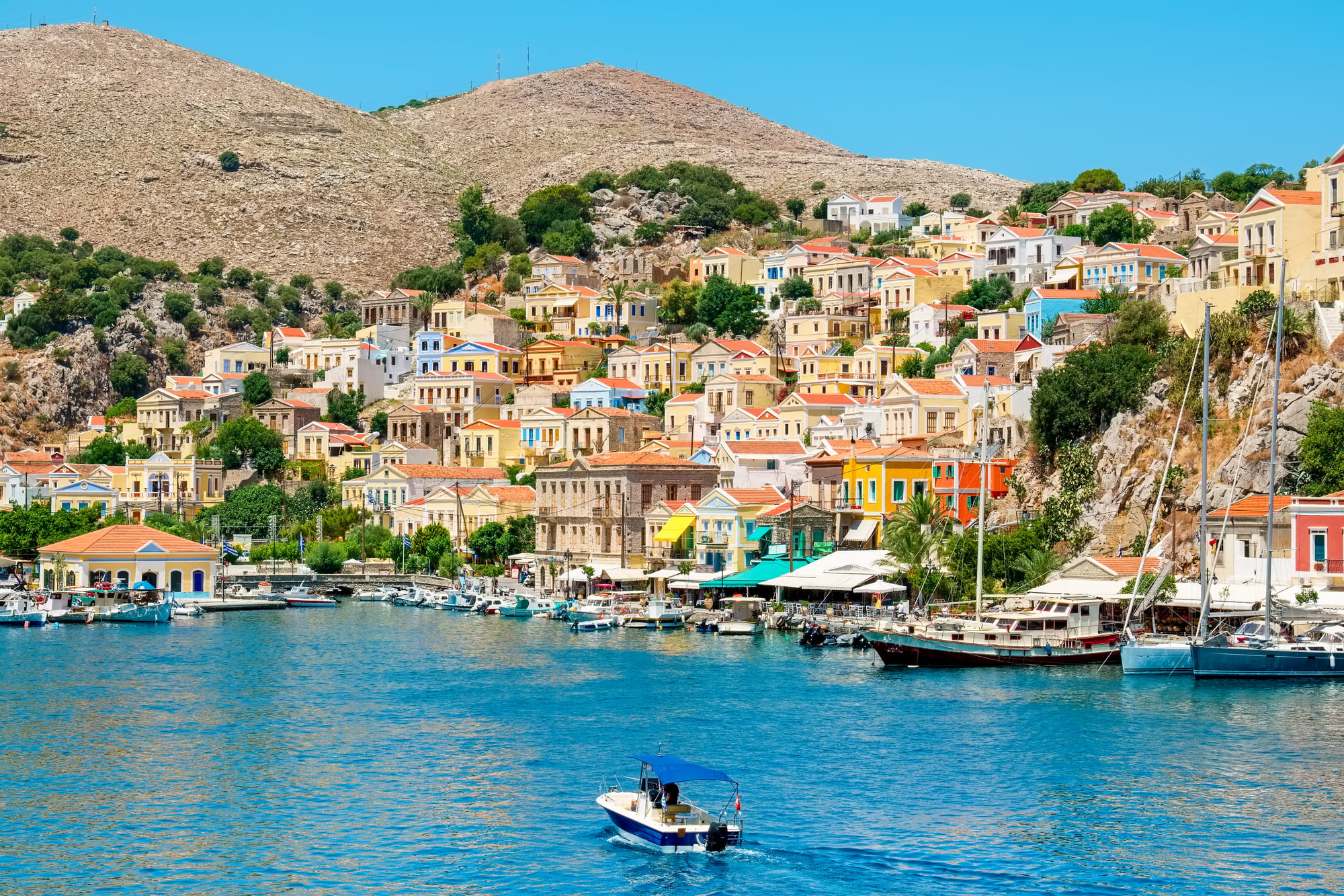
The Dodecanese islands in the Aegean — which include Rhodes and Kos — were Italian territory from 1912, when Italy seized them from the Ottoman Empire, until World War II. German forces occupied the islands after Italy’s armistice in 1943.
After the war, a 1947 peace treaty transferred the Dodecanese to Greece, where they remain. The Greek-speaking and Greek Orthodox population had lived under Ottoman and then Italian governance for the entire preceding century before the Greek flag was raised in 1947.
Hatay (Turkey/France/Syria)
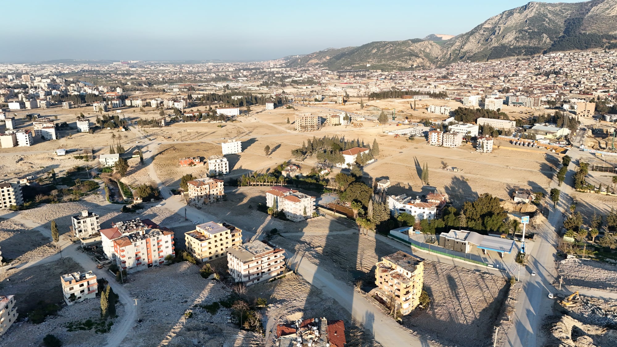
The Sanjak of Alexandretta — now the Hatay Province of Turkey — was part of the French Mandate of Syria after World War I. France negotiated an agreement with Turkey and arranged a referendum in 1938 that produced a Turkish majority through demographic manipulation.
Turkey formally annexed the territory in 1939 — a decision France made partly to keep Turkey out of the Axis. Syria has never formally recognized the loss and continues to include Hatay on some official maps.
When Maps Become Autobiography

What the repeated redrawing of these borders reveals is that sovereignty — the idea that a government rightfully controls a territory — has often been less a stable fact than a temporary arrangement subject to military force, diplomatic pressure, and the balance of power between larger neighbours.
The residents of Alsace-Lorraine, Bessarabia, or Upper Silesia did not choose to change citizenship four times in a century. Their governments changed around them while they stayed in place, went to the same markets, and spoke the same languages they always had.
The study of these repeatedly contested territories is, in part, a study of the gap between the map and the lived experience of the people on it. Borders that look fixed on paper have always been, in practice, arguments — lines drawn in negotiation rooms or at gunpoint, subject to revision whenever the balance of power shifted enough to make revision possible.
The twentieth century offered more opportunities for that shift than any previous era, and the results are still living in the political geography of the present.
More from Go2Tutors!