28 Places That Were Left Off Maps on Purpose
Governments have long understood that removing a location from public maps is an effective way to deny its existence. Cartographic omission serves as official cover—if a facility does not appear on any map available to the public, the government can maintain plausible deniability about its operations.
In many cases, these places existed in plain sight for decades while remaining officially unmapped, their existence denied even as they operated under secure perimeters. The locations listed here were deliberately excluded from published maps and satellite imagery, with their coordinates classified or obfuscated until leaks, declassification, or technological changes revealed what governments had worked to conceal.
Area 51
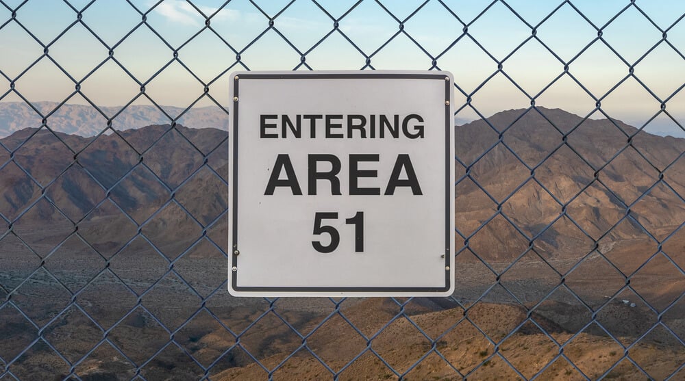
Located at Groom Lake in southern Nevada, Area 51 was used from 1955 onward to test experimental aircraft including the U-2 spy plane, SR-71 Blackbird, and F-117 Nighthawk stealth fighter. The facility was not listed on any officially published map and the U.S. government did not acknowledge its existence until 2013, when a declassified CIA document about U-2 development mentioned it by name.
Employees traveled to the base on buses with blacked-out windows or flew on secret flights. The airspace above Area 51 was marked as restricted, and nearby mountains that offered vantage points to view the base were declared off-limits, but the base itself remained unmapped despite its sprawling infrastructure.
Groom Lake Airfield
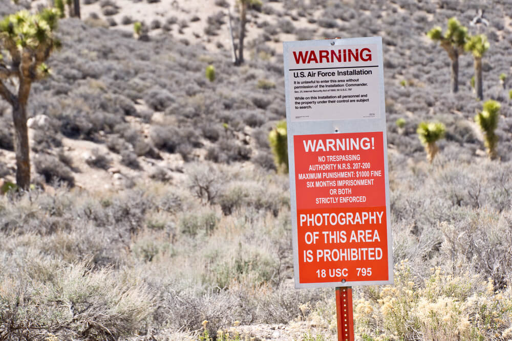
Groom Lake itself, the dry lake bed at Area 51, was removed from public maps for decades despite the airfield located there being one of the longest runways in North America. The location exists prominently on satellite imagery for any civilian with access to satellite feeds, yet public maps omitted it entirely.
Even Google Maps showed the area as blank or distorted for years before acknowledging the facility.
NORAD Cheyenne Mountain Complex
Deep within Cheyenne Mountain near Colorado Springs, the North American Aerospace Defense Command operates a hardened alternate command center. The facility was designed to serve as NORAD’s operational headquarters in the event of nuclear war.
Details about its exact location and layout were kept classified, and maps published for public distribution did not label the facility or indicate its significance. Only military and government maps showed its location.
Mount Weather Emergency Operations Center
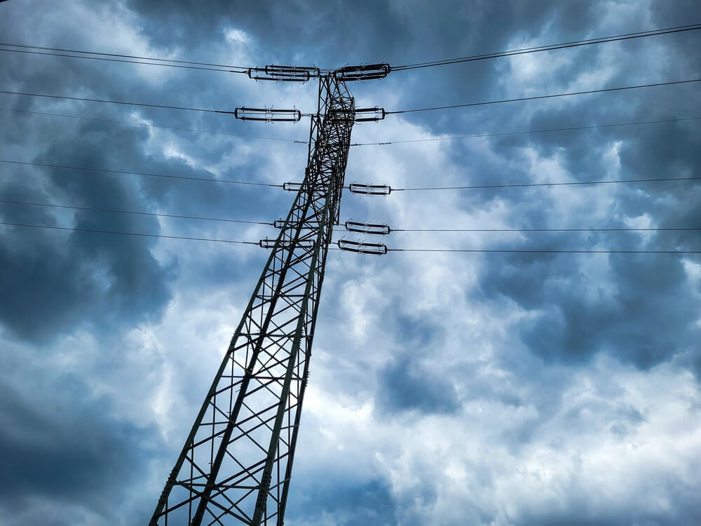
In the Blue Ridge Mountains near Bluemont, Virginia, the Federal Emergency Management Agency (FEMA) operates a classified continuity-of-government facility. Mount Weather was built during the Cold War to house government officials in the event of nuclear war.
The facility is never listed on public maps, though its location has been known to journalists and researchers for decades. The government acknowledges Mount Weather’s existence only abstractly and does not publish details about its operations, security, or capacity.
Raven Rock Mountain Complex
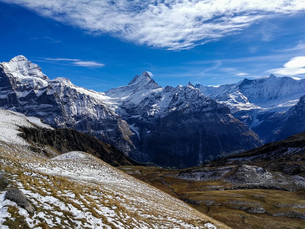
Located in Adams County, Pennsylvania, approximately 12 miles northwest of Camp David, Raven Rock Mountain Complex serves as an alternate command center for the U.S. military. The facility is cut into the side of a mountain.
Its exact coordinates and the nature of operations conducted there remain classified. Raven Rock does not appear on consumer maps, though its general location is known. The facility is protected by restricted airspace and exclusion zones.
Camp Peary
Known as “The Farm,” Camp Peary in York County, Virginia, serves as a CIA training facility where the agency’s clandestine operatives receive advanced training in espionage, surveillance, and covert operations. The facility was not officially acknowledged by the CIA for decades.
It does not appear on commercial maps and its location remains restricted. The CIA has never officially confirmed Camp Peary’s exact purpose, though its role in training intelligence officers is well-established.
Pine Gap
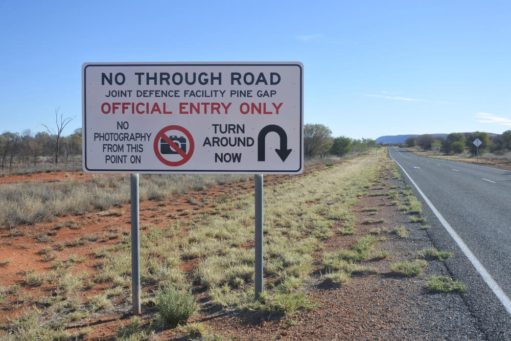
Located in the Northern Territory of Australia near Alice Springs, Pine Gap is a joint U.S.-Australian intelligence facility operated by the National Security Agency and Australian intelligence. The base was not acknowledged by either government for decades.
Maps used in Australian schools and published for public consumption did not identify the facility. The Australian government had long maintained official silence about Pine Gap’s existence and function, despite it being known to intelligence analysts worldwide.
Kapustin Yar
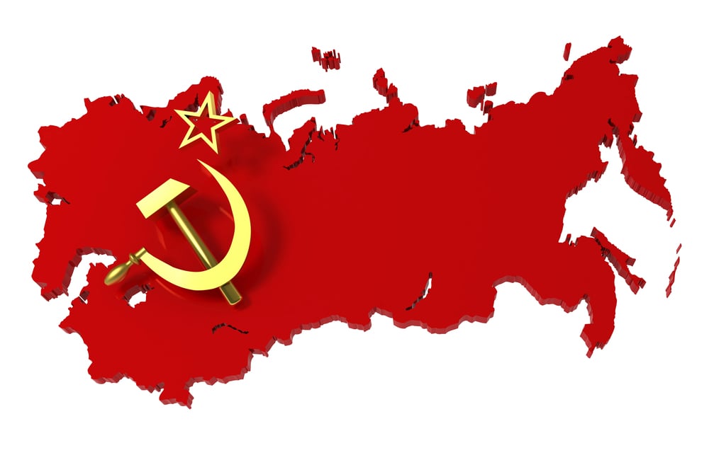
In southwestern Russia, Kapustin Yar served as the Soviet Union’s first space testing facility. The location was removed from Soviet maps and its coordinates were not publicly disclosed.
Western intelligence agencies knew of Kapustin Yar’s location, but the facility remained officially unmapped by the Soviet government throughout the Cold War. The location tested ballistic missiles, spacecraft, and other advanced weapons systems.
Tonopah Test Range
Located in Nye County, Nevada, Tonopah Test Range was used to test and evaluate nuclear weapons effects. The facility was so classified that its name and location were removed from public maps.
Tonopah operated under complete secrecy, with employees required to maintain strict compartmentalization. The facility’s existence became known only through declassified documents and investigative reporting many years after its operations ended.
Dugway Proving Ground
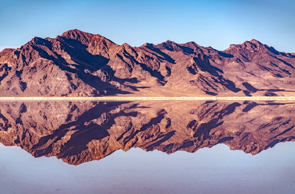
In Tooele County, Utah, Dugway Proving Ground conducts chemical and biological defense testing. The location was removed from public maps for decades.
The Defense Department conducted testing of chemical and biological agents at Dugway, including experiments with dangerous pathogens. The facility’s exact purpose and the nature of experiments conducted there were not disclosed to the public. Maps published in the 1970s and 1980s simply showed an unnamed restricted military area.
White Sands Missile Range
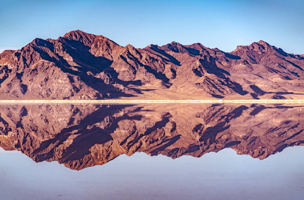
While White Sands’ general location in New Mexico was public knowledge, the precise coordinates and the detailed mapping of its test areas were restricted to military maps only. The range was where the first atomic bomb was detonated and where countless weapons systems were tested.
Detailed satellite imagery and precise grid references to specific test areas were classified and not available to civilian cartographers.
China Lake Naval Air Weapons Station
Located in Kern County, California, China Lake was the site of advanced weapons development and testing. The facility was not shown on civilian maps with accurate detail.
The precise layout of test ranges, laboratory facilities, and restricted airspace remained classified. Public maps showed only a vague indication of the facility’s general location.
Edwards Air Force Base Facilities
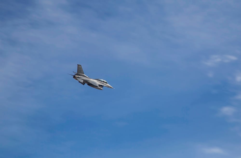
While Edwards Air Force Base itself is shown on maps, many of its classified test facilities and ranges were removed from public cartography. The Rogers Dry Lake test site and restricted R-2508 range complex were depicted only on military maps.
Civilian maps showed Edwards’ main runway but not the extensive test infrastructure used for classified aircraft development.
Creech Air Force Base Facilities
At Creech Air Force Base in Nevada, the military conducted testing of unmanned aerial vehicles and conducted drone operations. Certain test facilities and ranges were removed from public maps.
The exact coordinates of drone test ranges and control centers remained classified.
Nellis Air Force Base Restricted Areas
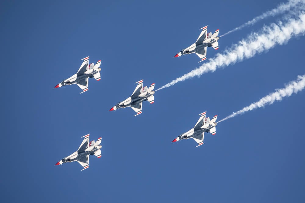
While Nellis Air Force Base itself is mapped, vast portions of its adjoining Nevada ranges used for classified weapons testing were simply shown as “restricted airspace” or “military airspace” without detail. Specific ranges used for testing hypersonic weapons and advanced aircraft were not labeled or detailed on public maps.
Kirtland Air Force Base Classified Ranges
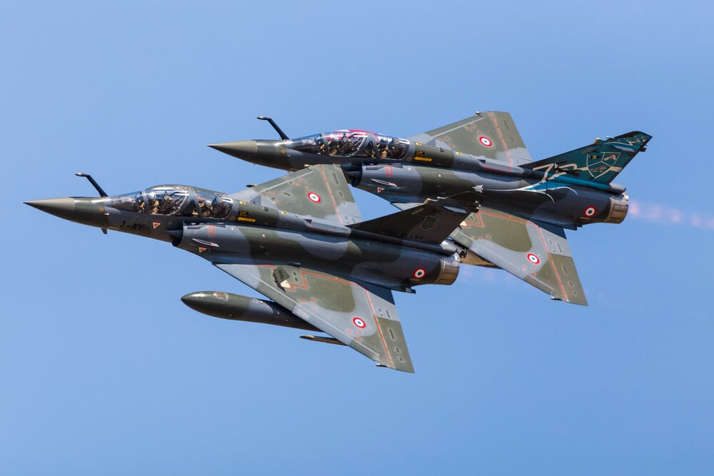
Kirtland Air Force Base in New Mexico houses classified weapons development facilities, including the Air Force Nuclear Weapons Center. Specific test ranges and facilities used for nuclear weapons development were not shown on public maps.
The base’s precise layout and the location of its most sensitive installations remained unmapped in public documentation.
Vandenberg Space Force Base Classified Facilities
At Vandenberg Space Force Base in California, classified space launch facilities and test ranges were removed from public maps. The exact locations of space launch pads and classified space testing facilities remained known only to government agencies and cleared contractors.
Nevada National Security Site
The sprawling complex of test facilities at the Nevada National Security Site (formerly called the Nevada Test Site) contained multiple restricted areas that were never detailed on public maps. Over 1,000 nuclear detonations were conducted at the facility, with exact locations and yields of many tests remaining classified.
Public maps simply showed the general outline of the restricted area without internal detail.
Pantex Plant
Located near Amarillo, Texas, the Pantex Plant assembles and maintains nuclear weapons. The precise layout of the facility and the location of weapons assembly areas were never shown on public maps.
Maps of the area showed only a vague outline of the facility without detail regarding its actual operations.
Los Alamos National Laboratory
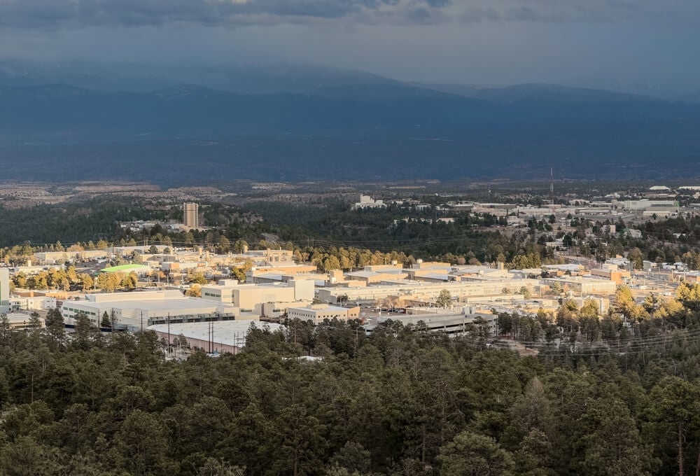
While Los Alamos’ existence is public knowledge, detailed maps showing the precise locations of sensitive research facilities within the laboratory were kept classified. Test facilities and plutonium manufacturing areas were not mapped on public documentation.
Livermore National Laboratory

Lawrence Livermore National Laboratory in California conducted classified nuclear weapons research. Specific test facilities and the precise coordinates of sensitive research areas were not shown on public maps, remaining restricted to classified government cartography.
Sandia National Laboratories

Sandia National Laboratories in New Mexico conducted weapons research and development. Internal facility maps showing the locations of classified research areas were not available to the public.
Public maps showed only the general laboratory complex without detail.
Oak Ridge National Laboratory

Oak Ridge National Laboratory in Tennessee was the site of classified nuclear research and weapons development. Detailed facility maps were classified.
Public maps did not show the precise layout of research facilities or the location of sensitive uranium enrichment operations.
Y-12 National Security Complex
At Oak Ridge, the Y-12 facility conducted uranium enrichment for nuclear weapons. Its precise operations and the location of sensitive enrichment areas were not disclosed on public maps.
Civilian cartographers were given only general location information.
Hanford Nuclear Site
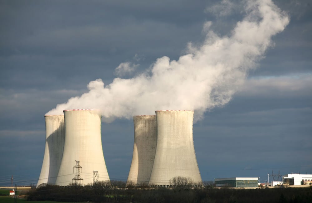
At the Hanford Nuclear Site in Washington state, plutonium was produced for nuclear weapons. The precise locations of plutonium production reactors and processing facilities were kept classified and not shown on public maps.
Maps showed only the general site outline without operational detail.
Idaho National Laboratory
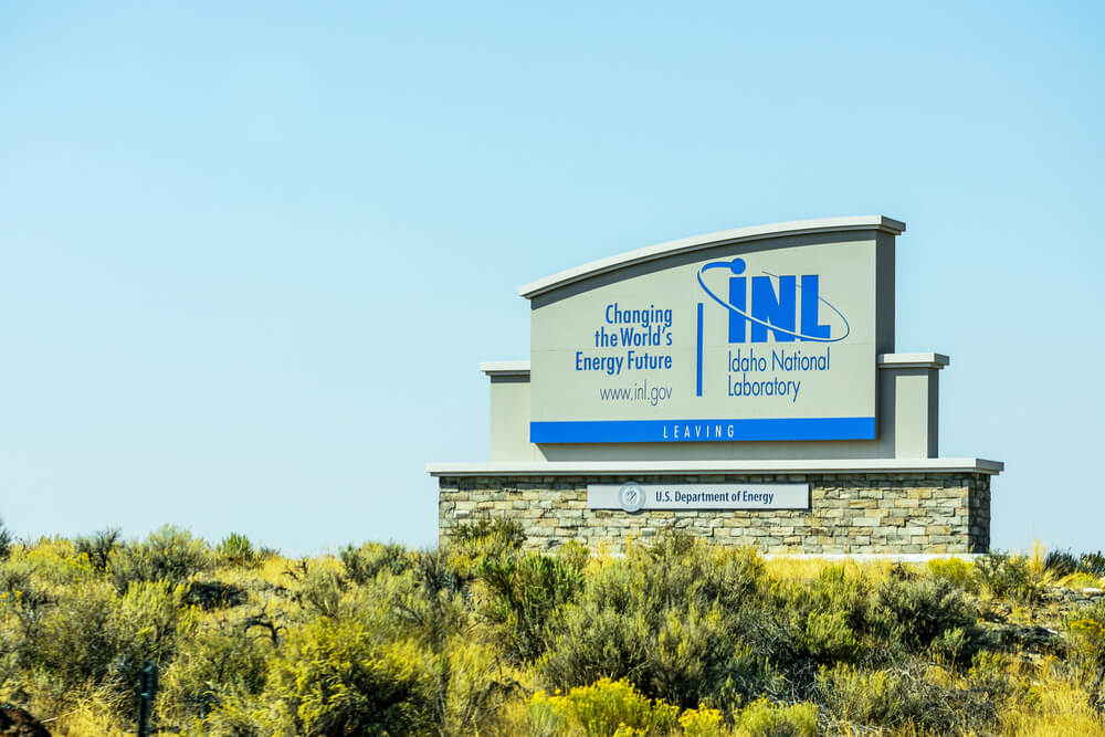
Idaho National Laboratory conducted classified nuclear research and reactor testing. Detailed maps of test reactor locations and classified research facilities were not published for civilian use.
Portsmouth Gaseous Diffusion Plant

At Portsmouth, Ohio, uranium enrichment was conducted for nuclear weapons. The precise facility layout and enrichment processes were kept classified and not shown on public maps.
Blind Lake NSA Facility
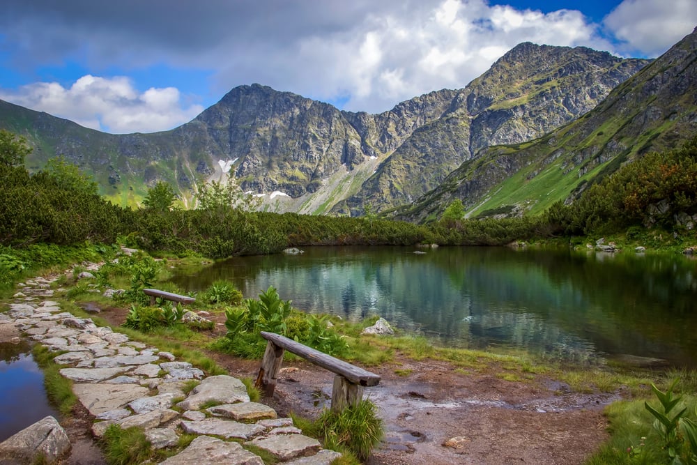
At Blind Lake, Mississippi, the National Security Agency operated a classified facility. The facility’s location, purpose, and operations remained unmapped and unacknowledged for decades.
The location is so obscure it appears on few maps even today.
The Decline of Cartographic Secrecy

Modern satellite imagery has made it increasingly difficult for governments to maintain cartographic secrecy. Google Earth, commercial satellite providers, and leaked imagery have mapped many classified facilities that official maps omitted.
Yet the principle endures: governments continue to remove locations from official maps, deny their existence, and maintain restricted cartography showing only what they choose the public to see. The history of unmapped places reveals a persistent gap between official narratives and actual government operations.
More from Go2Tutors!

- The Romanov Crown Jewels and Their Tragic Fate
- 13 Historical Mysteries That Science Still Can’t Solve
- Famous Hoaxes That Fooled the World for Years
- 15 Child Stars with Tragic Adult Lives
- 16 Famous Jewelry Pieces in History
Like Go2Tutors’s content? Follow us on MSN.