16 Bizarre Phantom Islands Appearing on Modern Maps
Phantom islands are the cartographic equivalent of ghosts — places that appear on maps but don’t exist in reality. These mysterious landmasses have haunted navigators for centuries, born from everything from optical illusions and wishful thinking to outright hoaxes.
What’s truly remarkable is how many of these non-existent islands managed to appear on modern maps, sometimes persisting for decades before anyone bothered to check if they were actually there.
The digital age should have eliminated these geographical phantoms, but satellite imagery and GPS technology haven’t stopped phantom islands from materializing on contemporary charts. Some were honest mistakes amplified by copying between map publishers.
A few remain unexplained to this day.
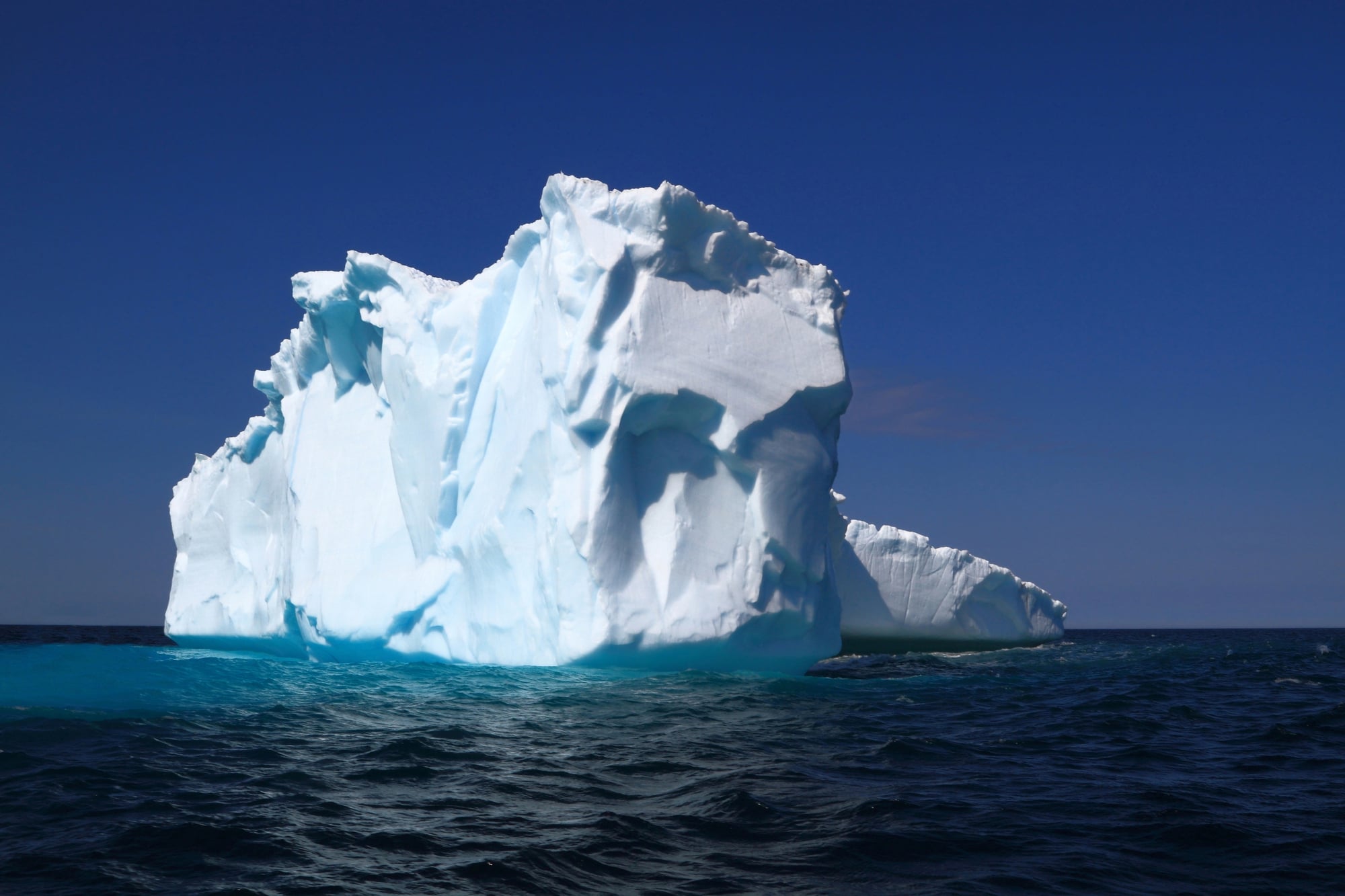
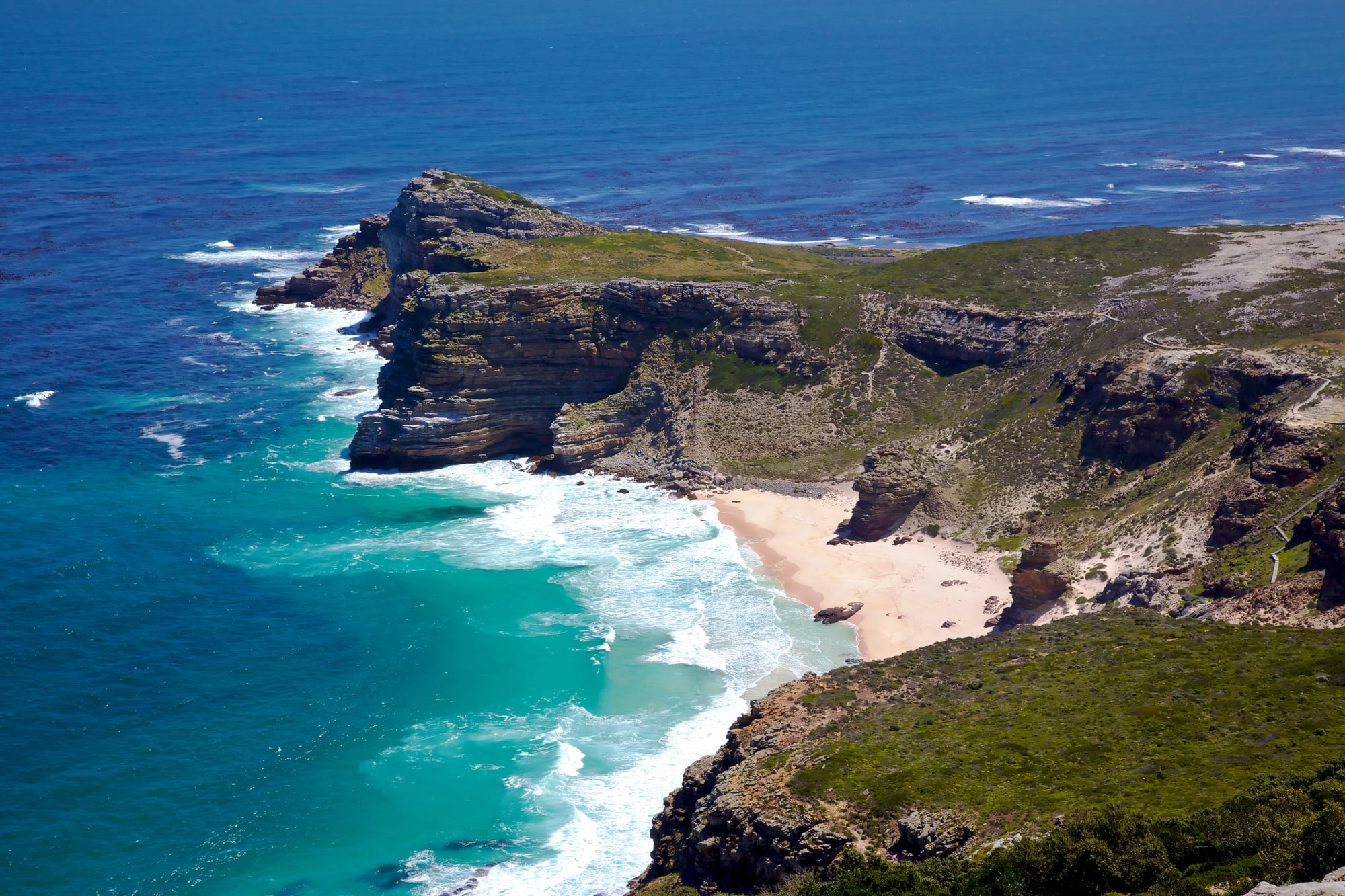
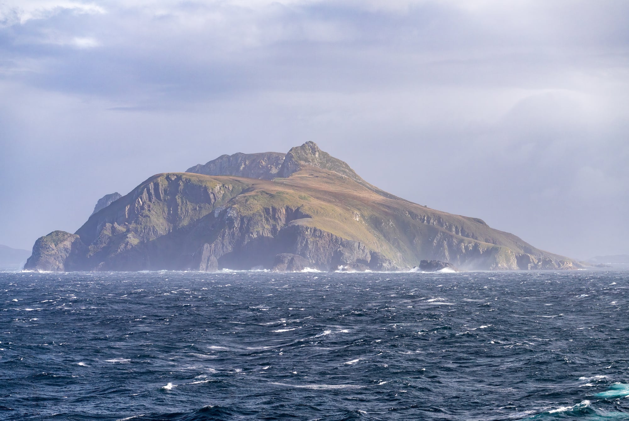
Sandy Island
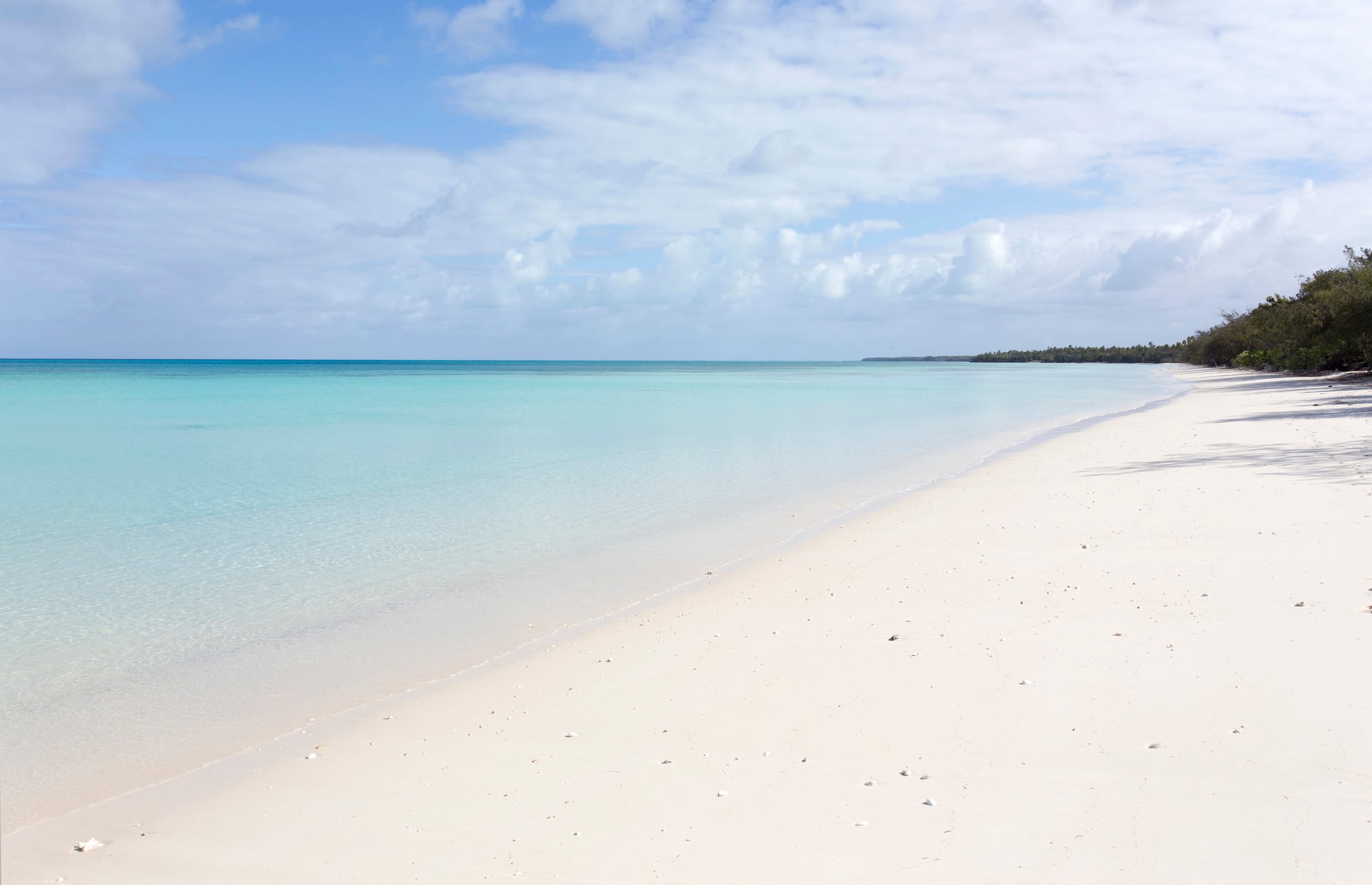
This phantom island appeared on maps between New Caledonia and Australia for over a century. Google Earth showed it. Marine charts marked its position.
The problem? When a research vessel sailed to its coordinates in 2012, they found nothing but open ocean 1,400 meters deep.
Sandy Island had been living a double life on digital maps since at least 2000, appearing as a black polygon on Google Maps and Google Earth. The Times Atlas included it in their comprehensive world atlas. National Geographic referenced it.
No one had actually verified its existence — they just kept copying it from earlier sources.
Bermeja
Mexican maps showed this island off the Yucatan Peninsula for decades. Bermeja wasn’t just any phantom island — it had serious geopolitical implications since its location would extend Mexico’s territorial waters and exclusive economic zone into oil-rich waters of the Gulf of Mexico.
The Mexican government launched multiple expeditions to find Bermeja, including one in 2009 using advanced sonar equipment. They found nothing.
Some conspiracy theorists claim the CIA destroyed the island to prevent Mexico from claiming additional maritime territory, but the simpler explanation is that it never existed in the first place.
Crocker Land

Arctic explorer Robert Peary claimed to have spotted this landmass from the northern coast of Ellesmere Island in 1906. He named it after a wealthy patron, George Crocker, and estimated it lay about 130 miles northwest of Cape Thomas Hubbard.
The phantom became real enough that the American Museum of Natural History funded an expedition in 1913 to explore it. After four years of searching and considerable hardship (including the expedition leader’s mental breakdown and the shooting of an Inuit team member), they concluded that Crocker Land was a mirage — specifically, a Fata Morgana, where atmospheric conditions create the illusion of land on the horizon.
Maps continued showing Crocker Land well into the 1960s.
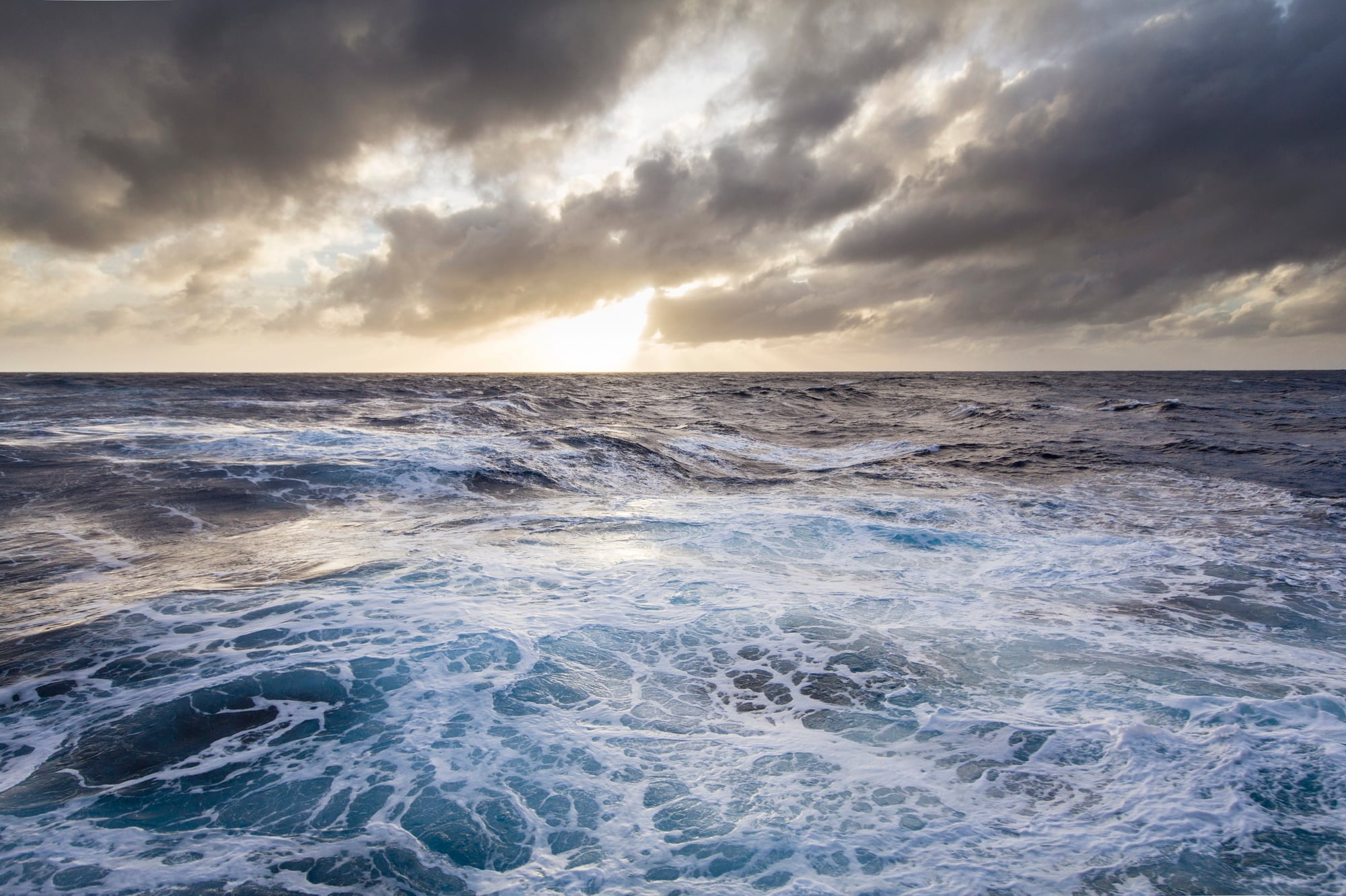
Maria Theresa Reef
This phantom reef appeared on nautical charts of the South Pacific for over 150 years, based on a single sighting report from 1843. Captain Asaph P. Taber of the whaling ship Maria Theresa claimed to have spotted a reef at coordinates that would place it between Tahiti and the Cook Islands.
The reef kept appearing on official charts because no one wanted to be responsible for removing a navigational hazard that might actually exist. Better safe than sorry when ships are involved.
Numerous vessels searched for Maria Theresa Reef over the decades — some reported finding it, others found nothing. Modern satellite imagery and systematic searches finally confirmed that nothing exists at those coordinates except deep ocean.
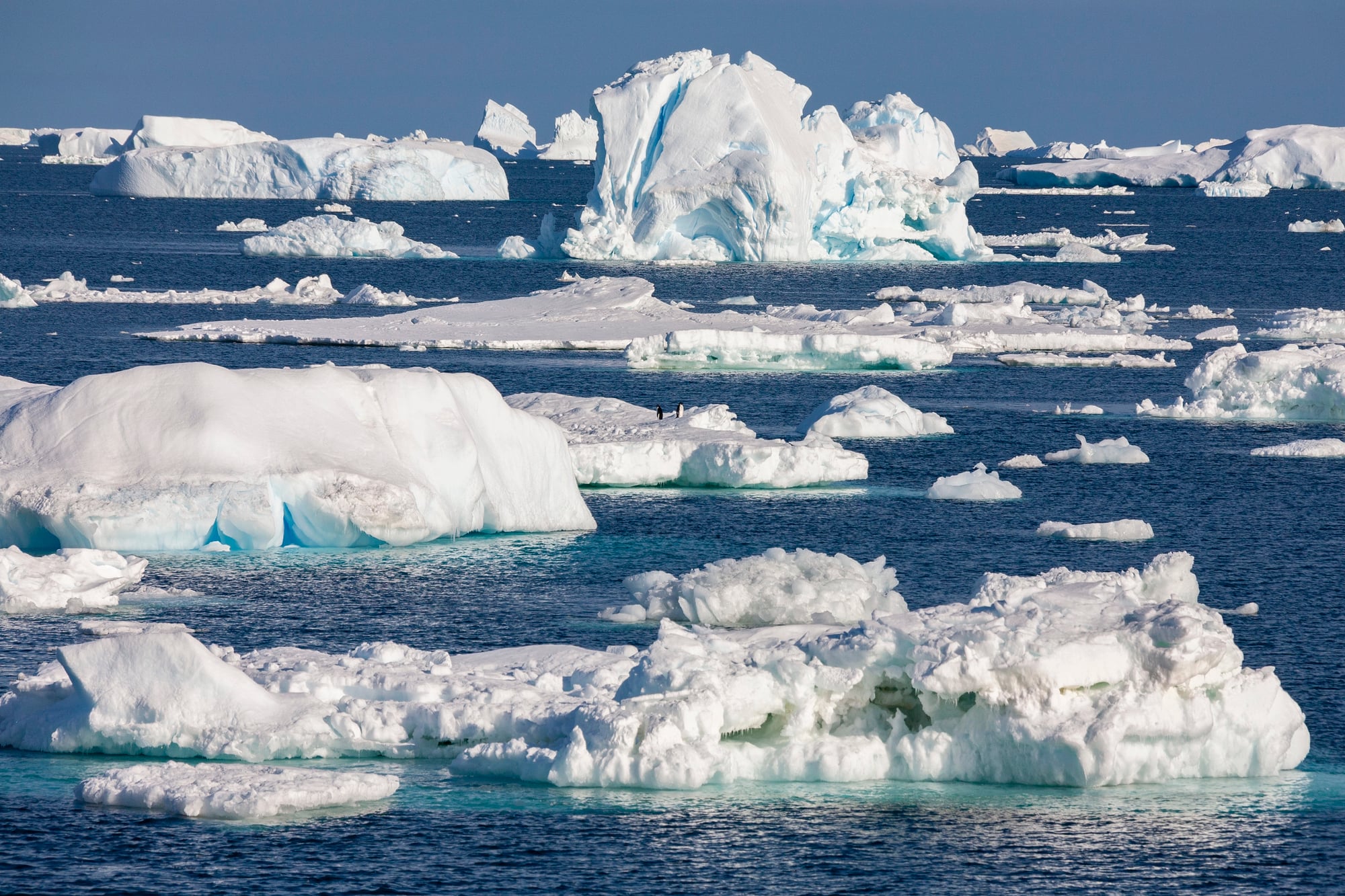
Dougherty Island
Captain James Dougherty reported discovering this island in the Southern Ocean in 1841, describing it as rocky and surrounded by ice. The coordinates he provided placed it roughly 300 miles west of Peter I Island, and it duly appeared on charts of Antarctic waters.
But here’s where things get strange (and this is saying something in a world where phantom islands exist): Dougherty Island became a shape-shifter on various maps, sometimes appearing at different coordinates or with different descriptions.
Some charts showed it as a substantial landmass, others as a small rocky outcrop. When systematic surveys of the Southern Ocean were conducted in the 20th century, they found nothing at any of the reported locations — just ocean floor thousands of meters below the surface.
Buss Island
Maps placed this phantom island in the North Atlantic between Iceland and Greenland for nearly 200 years, based on a 1578 report from English explorer Martin Frobisher’s third voyage. The crew of the ship Emmanuel of Bridgwater claimed to have landed on an island they named Buss Island after their vessel type.
The island became cartographic fact, appearing on prestigious maps by Mercator and other renowned cartographers — and here’s the peculiar part that makes you wonder about the reliability of anything claimed by 16th-century explorers: different maps showed Buss Island at wildly different coordinates, sometimes hundreds of miles apart.
When systematic surveys of the North Atlantic were conducted using modern methods, they found no land anywhere in the supposed vicinity of Buss Island. The ocean floor in that region lies more than 2,000 meters below the surface.
Mayyda Island
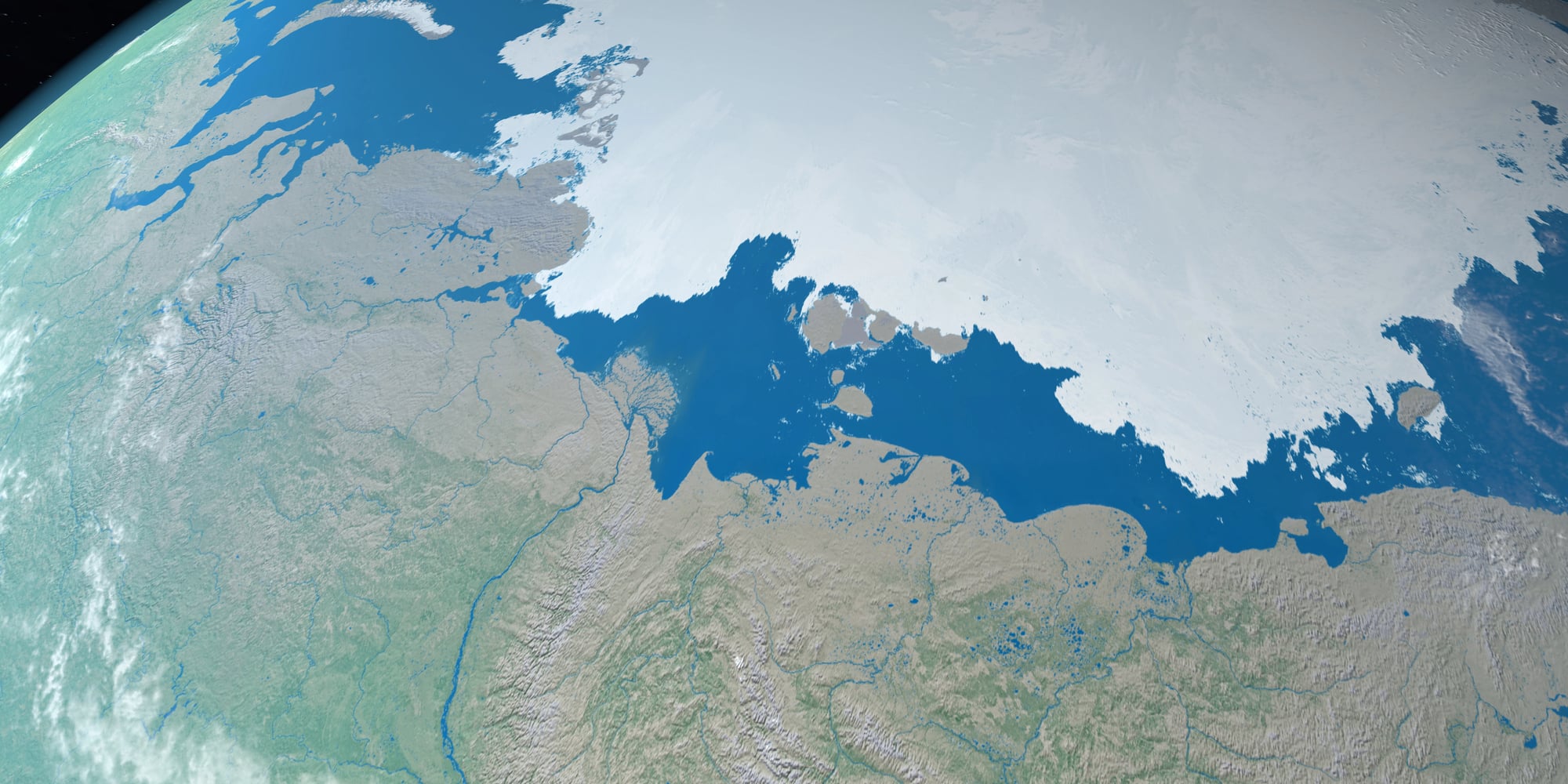
Soviet maps from the 1950s showed this island north of Siberia in the Laptev Sea, and it appeared on official charts for decades afterward. The island was supposedly discovered during a 1935 aerial survey, described as being roughly 12 kilometers long and rising 10 meters above sea level.
Multiple expeditions searched for Mayyda Island, including Soviet icebreaker missions that found nothing but pack ice and open water. The phantom persisted on maps partly because correcting Soviet cartographic errors during the Cold War required admitting mistakes, which bureaucracies generally avoid.
Satellite imagery eventually confirmed what the search expeditions had found: no island exists at those coordinates.
Los Jardines

Spanish charts showed this island group in the Caribbean for centuries, supposedly located somewhere between Jamaica and the Central American coast. The name means “The Gardens,” suggesting they were considered particularly lush or beautiful by whoever first reported them.
The phantom archipelago appeared on maps as late as the 1960s, despite the fact that the Caribbean had been thoroughly surveyed by then. Different charts placed Los Jardines at different locations, which should have been a clue that something was wrong.
Modern bathymetric surveys show that the seafloor in all the reported locations is far too deep for any islands to exist.
Emerald Island
This phantom appeared on maps of the Southern Ocean south of Macquarie Island, first reported by Captain William Elliott in 1821. Elliott claimed to have sighted a substantial landmass covered with snow and ice, and he marked its position carefully on his charts.
The island’s name comes from Elliott’s description of its appearance through atmospheric haze — he said it had an emerald-green tint. Several subsequent expeditions reported sighting Emerald Island, while others found nothing.
As it turns out, the coordinates Elliott provided place his “discovery” in an area where the ocean floor is more than 4,000 meters below the surface. The green-tinted landmass was most likely an iceberg or an atmospheric phenomenon that created the illusion of land.
Thompson Island
Maps of the South Atlantic showed this phantom island southeast of Bouvet Island from 1825 until well into the 20th century. Captain George Norris aboard the whaling ship Sprightly reported discovering it and provided detailed coordinates and descriptions.
Norris described Thompson Island as barren and rocky, about three miles long and one mile wide. He claimed to have landed on it and taken formal possession for Britain.
The problem is that multiple expeditions searched the area over the next century and found nothing. The coordinates Norris provided place Thompson Island in waters where modern sonar reveals an ocean floor 2,000 meters below the surface.
Saxemberg Island
This phantom island supposedly lay in the South Atlantic between St. Helena and the Cape of Good Hope. Captain John Lindeman reported discovering it in 1670, and it appeared on maritime charts for the next two centuries.
Different sources described Saxemberg Island differently — some called it rocky and barren, others claimed it was covered with trees. The varying descriptions should have raised suspicions, but the island remained on official charts because removing a reported navigational landmark required more certainty than anyone was willing to provide.
Systematic surveys of the South Atlantic eventually confirmed that no land exists anywhere near the reported coordinates.
New South Greenland
Benjamin Morrell claimed to have discovered this large landmass in the Weddell Sea during his 1823 Antarctic voyage. His description was remarkably detailed: he reported it extended for 300 miles along a north-south axis and featured high mountains and deep bays.
Morrell’s phantom became particularly influential because it appeared during the early period of Antarctic exploration, when reliable information about southern polar regions was scarce and valuable — so his claims were taken seriously and incorporated into maps and atlases.
Later Antarctic expeditions found no trace of New South Greenland. Modern ice-penetrating radar and satellite mapping show that the Weddell Sea in that area contains no land above sea level.
Royal Company Islands
Spanish charts from the 16th century onward showed this island group in the South Pacific, supposedly discovered during early Spanish expeditions. The islands appeared on maps for over 300 years, sometimes under different names but always in roughly the same location.
Maps showed the Royal Company Islands as a substantial archipelago, implying they were significant enough to be worth noting as navigational landmarks or potential stopping points for ships crossing the Pacific.
Systematic surveys of the South Pacific conducted in the 19th and 20th centuries found no islands at the reported coordinates. The ocean floor in that region is more than 4,000 meters below the surface.
Podesta Island
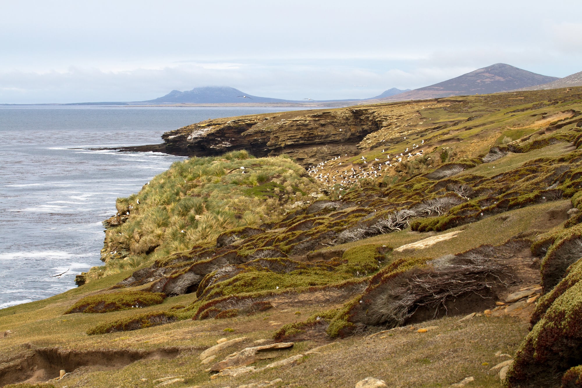
This phantom appeared on maps of the South Atlantic Ocean from the late 19th century through the 1960s, supposedly located southeast of the Falkland Islands. The island was named after the captain who allegedly discovered it, though records of the original sighting are vague and contradictory.
Different maps placed Podesta Island at slightly different coordinates, and descriptions varied from a small rocky outcrop to a more substantial landmass. The inconsistency should have been a red flag, but the island persisted on nautical charts because maritime authorities preferred to err on the side of caution when it came to potential navigational hazards.
Nimrod Island
Captain Cook supposedly sighted this island during his second Pacific voyage in the 1770s, though his log entries are ambiguous about its exact location. Maps placed it somewhere in the central Pacific, and it appeared on charts for nearly two centuries.
The phantom became particularly persistent because Cook’s reputation for accurate navigation lent credibility to any land he claimed to have spotted — his word carried weight in cartographic circles. Multiple Pacific expeditions searched for Nimrod Island over the decades, with some claiming to have found it and others reporting nothing but open ocean.
Modern surveys show no land exists anywhere near the various reported coordinates.
Ganges Island
This phantom appeared on maps of the North Pacific from the early 19th century through the 1970s. Captain James Colnett allegedly discovered it during a fur trading voyage, describing it as small but notable enough to serve as a landmark for other navigators.
The island’s reported coordinates placed it along a major Pacific shipping route, so its existence or non-existence had practical implications for navigation. Several commercial vessels reported sighting Ganges Island over the decades, while others found nothing at the same coordinates.
Satellite imagery eventually confirmed that no land exists at any of the reported locations.
When Maps Lie Better Than Reality

Phantom islands reveal something uncomfortable about human nature: we prefer interesting mistakes to boring accuracy. These geographical ghosts persisted on maps not because anyone was actively deceiving the public, but because exciting discoveries make better stories than careful verification.
The digital age should have eliminated phantom islands, but it actually amplified them. Google Earth and online mapping services copied data from multiple sources without cross-checking, so Sandy Island and others lived on in pixels long after they should have vanished.
The same technology that can show you real-time traffic updates somehow couldn’t confirm whether entire islands actually existed. These phantoms remind us that maps are human documents, shaped by hope and error as much as measurement.
Every phantom island represents someone’s sincere belief that they had found something new and remarkable. The fact that they were wrong doesn’t diminish the very human desire to discover — it just makes the eventual truth more striking when it finally emerges from the depths of careful investigation.
More from Go2Tutors!

- The Romanov Crown Jewels and Their Tragic Fate
- 13 Historical Mysteries That Science Still Can’t Solve
- Famous Hoaxes That Fooled the World for Years
- 15 Child Stars with Tragic Adult Lives
- 16 Famous Jewelry Pieces in History
Like Go2Tutors’s content? Follow us on MSN.