15 Largest Countries by Land Area
Standing at the edge of a world map, tracing borders with your finger, the sheer scale of some countries becomes almost incomprehensible. Russia stretches across eleven time zones.
Canada contains more lakes than the rest of the world combined. These aren’t just political boundaries — they’re vast expanses that dwarf entire continents, reshape climates, and contain ecosystems so diverse they feel like separate planets entirely.
Russia
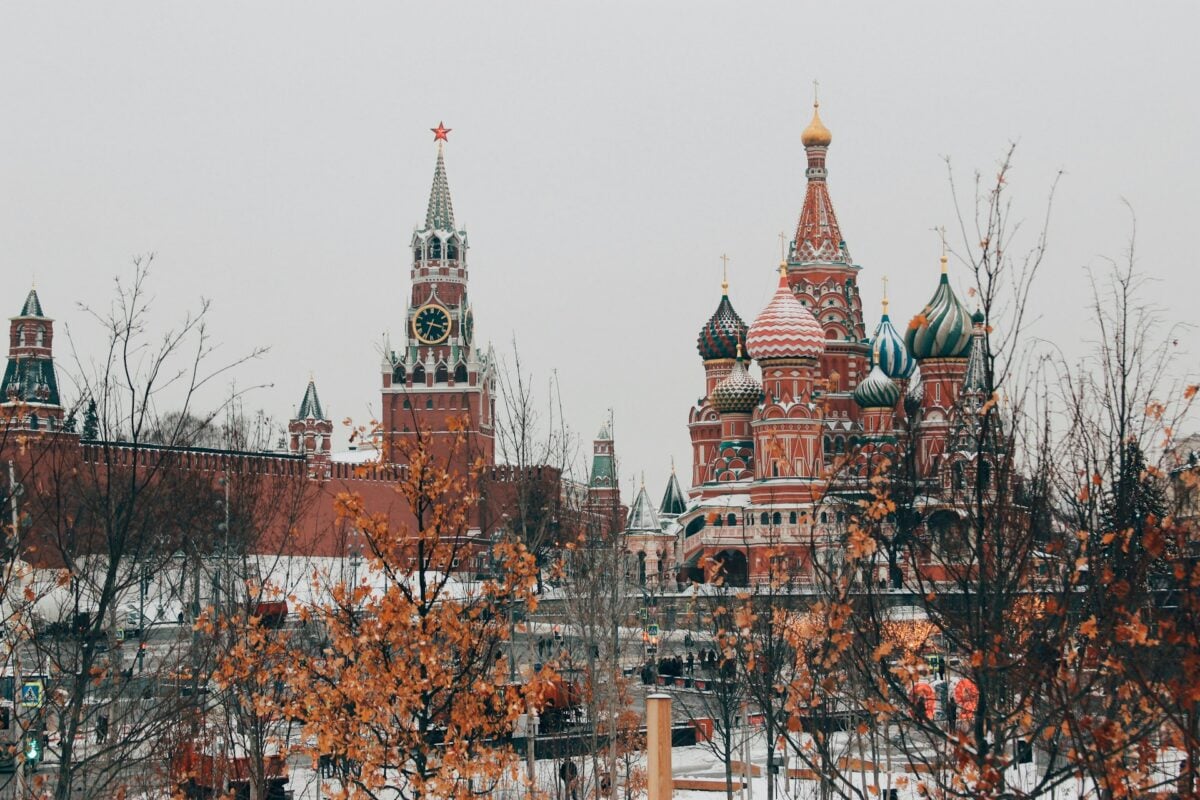
Russia doesn’t just top this list — it dominates it completely. At 17.1 million square kilometers, it’s nearly twice the size of the second-largest country.
Eleven time zones stretch from the Baltic Sea to the Pacific Ocean, covering terrain so varied that reindeer herders in Siberia live closer to North Korea than to Moscow.
Canada
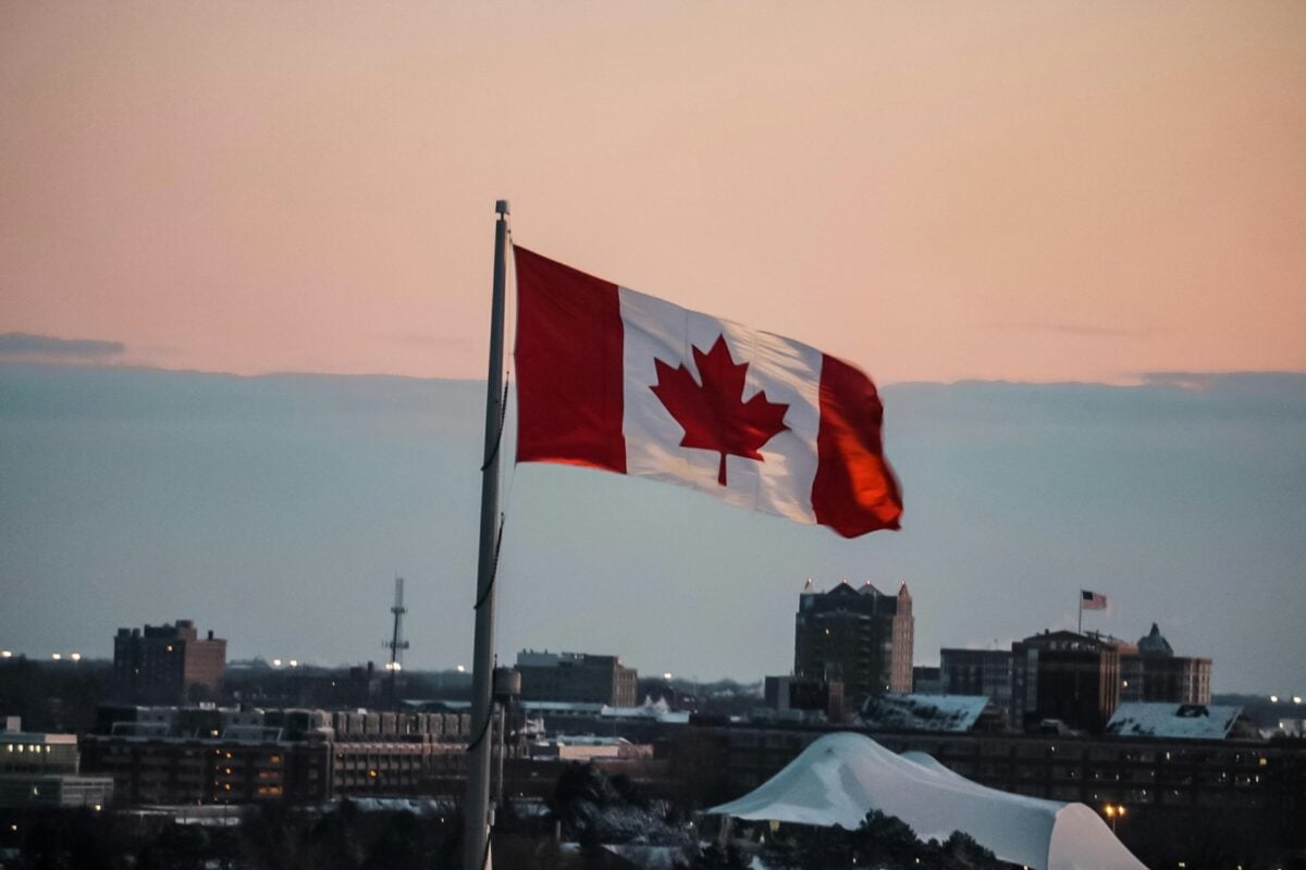
The second-largest country clocks in at 9.98 million square kilometers, though a significant portion remains virtually untouched wilderness. Canada holds more fresh water than any other nation (which makes sense when you consider it contains roughly 31,000 lakes), and yet most of its population clusters within 100 miles of the US border — leaving vast stretches of boreal forest, tundra, and Arctic archipelago essentially empty.
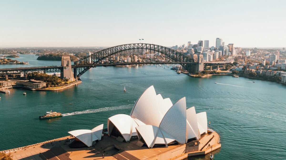
United States

Here’s where the numbers get interesting, because the 9.83 million square kilometers that make up the United States include some genuinely strange geographical facts that don’t quite fit the mental map most people carry around. Alaska alone accounts for about 20% of the total US landmass (and happens to be larger than Texas, California, and Montana combined — go figure), while the contiguous 48 states contain everything from actual desert to temperate rainforest to prairie that once supported 60 million buffalo.
And then there’s Hawaii, sitting 2,400 miles out in the Pacific, technically making the US a Pacific nation as much as an Atlantic one.
China
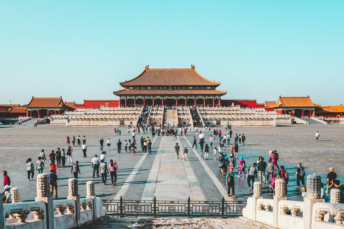
Mountains that scrape the sky, deserts that swallow cities, rivers that have changed course so many times they’ve rewritten history — China’s 9.6 million square kilometers contain more geographical drama than seems possible in a single country. The Tibetan Plateau alone covers an area larger than Western Europe, while the Gobi Desert spans terrain so harsh that it still challenges modern travelers.
Yet somehow this same landmass supports over a billion people, most of whom live in the eastern third where the terrain actually cooperates with civilization.
Brazil
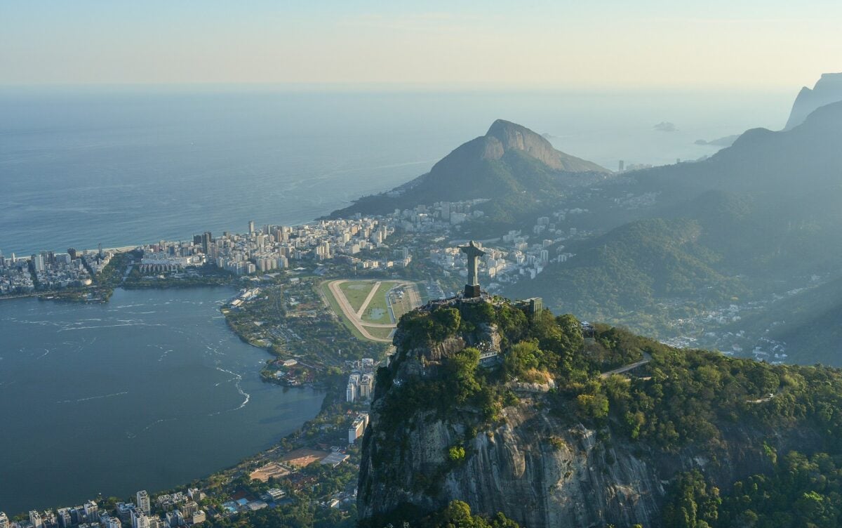
Brazil owns more than half of South America, and that dominance shows. 8.5 million square kilometers of Amazon rainforest, Atlantic coastline, wetlands, and highlands create a country that feels less like a single nation and more like an entire continent that happened to end up under one flag.
The Amazon Basin alone contains more biodiversity than most people encounter in a lifetime of travel.
Australia
Australia sits alone on its continental shelf like a vast island that got too big for its own good. 7.7 million square kilometers of desert, coastline, and outback create a country where the major cities cling to the edges while the interior remains largely empty.
The distances are genuinely absurd — Perth sits closer to Jakarta than to Sydney.
India
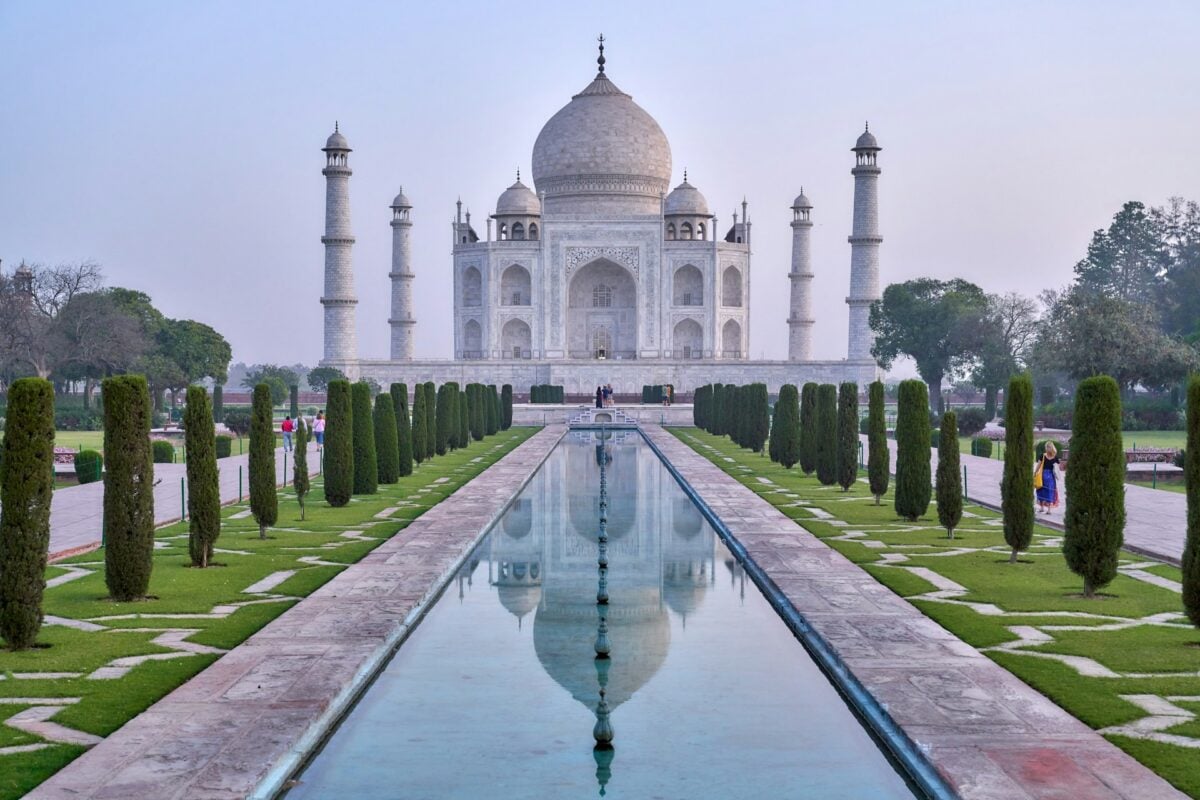
The subcontinent earns its name through sheer geographical variety packed into 3.3 million square kilometers. Himalayan peaks that define the northern border give way to river plains, which surrender to coastal regions, which blend into desert, all supporting over a billion people who somehow make it work.
The monsoon system that governs much of the climate is so reliable that entire civilizations have planned around its timing for thousands of years.
Argentina
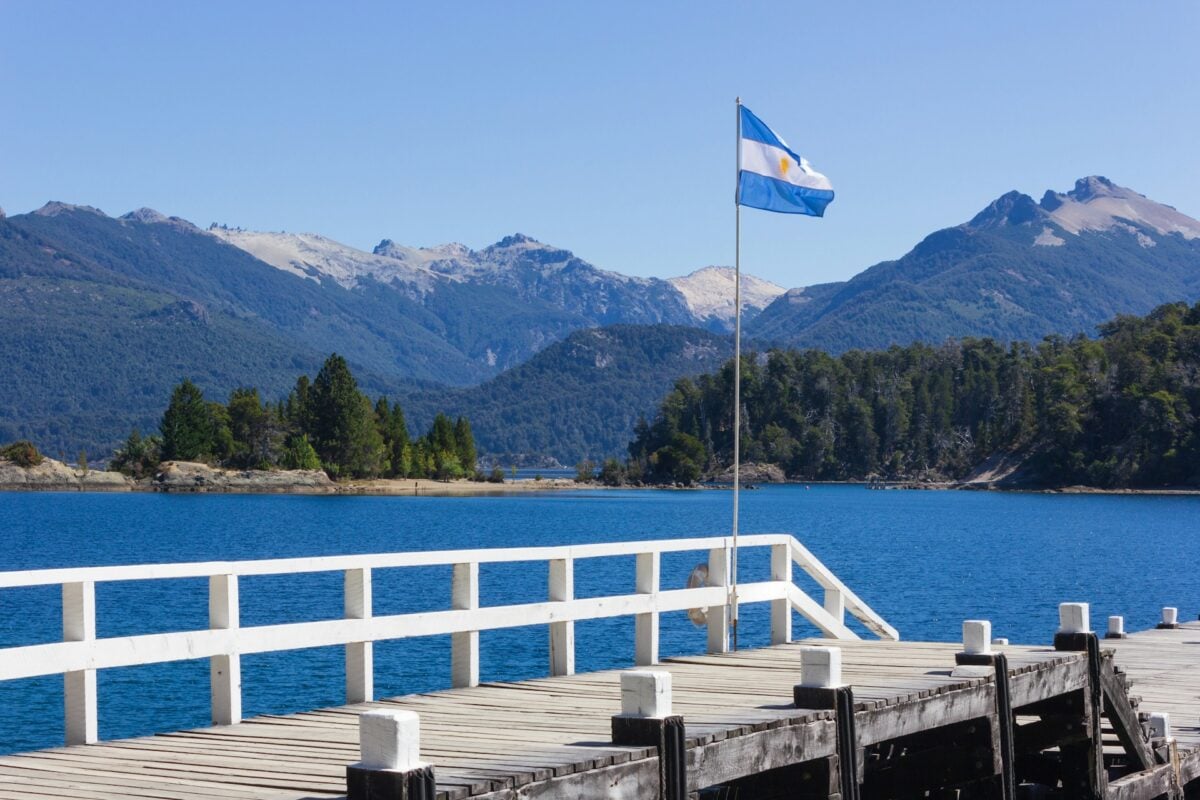
Argentina stretches from subtropical north to subantarctic south across 2.8 million square kilometers, creating a country where the climate zones stack vertically like geological layers. The Pampas grasslands that dominate the center have produced enough beef to feed much of the world, while Patagonia in the south remains wild enough that new species still turn up occasionally.
And then there’s the Andes, running along the entire western border like a geological spine.
Kazakhstan
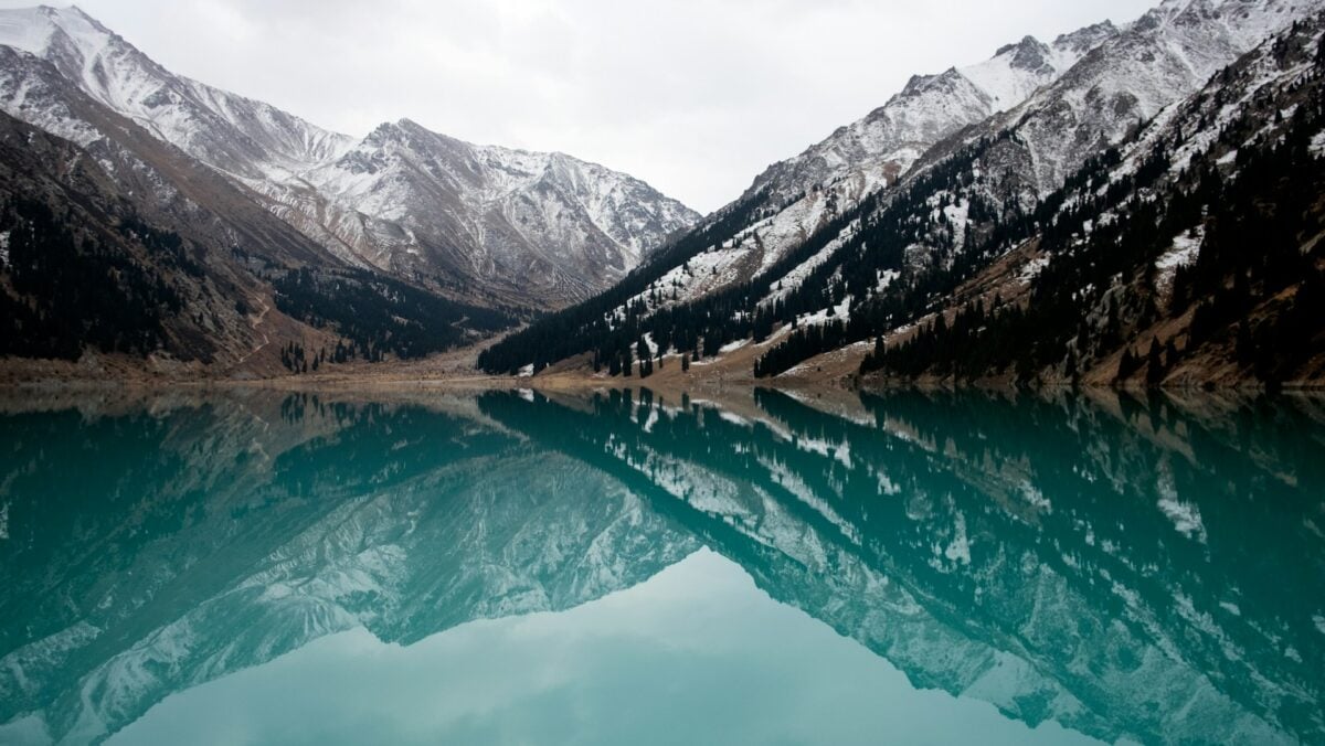
Central Asia’s giant covers 2.7 million square kilometers of steppe, desert, and mountains that most people couldn’t locate on a map if pressed. Kazakhstan is landlocked in the most dramatic way possible — the nearest ocean sits over 3,000 kilometers away.
The Caspian Sea provides some relief, though calling it a sea feels generous when it’s technically a lake that happens to be larger than Germany.
Algeria
North Africa’s largest country sprawls across 2.4 million square kilometers, though the Sahara Desert claims about 80% of that territory. Algeria demonstrates something important about land area statistics: size matters less when most of the space can’t support human life.
The coastal Mediterranean region where most Algerians actually live represents a thin green strip pressed against an ocean of sand.
Democratic Republic of the Congo
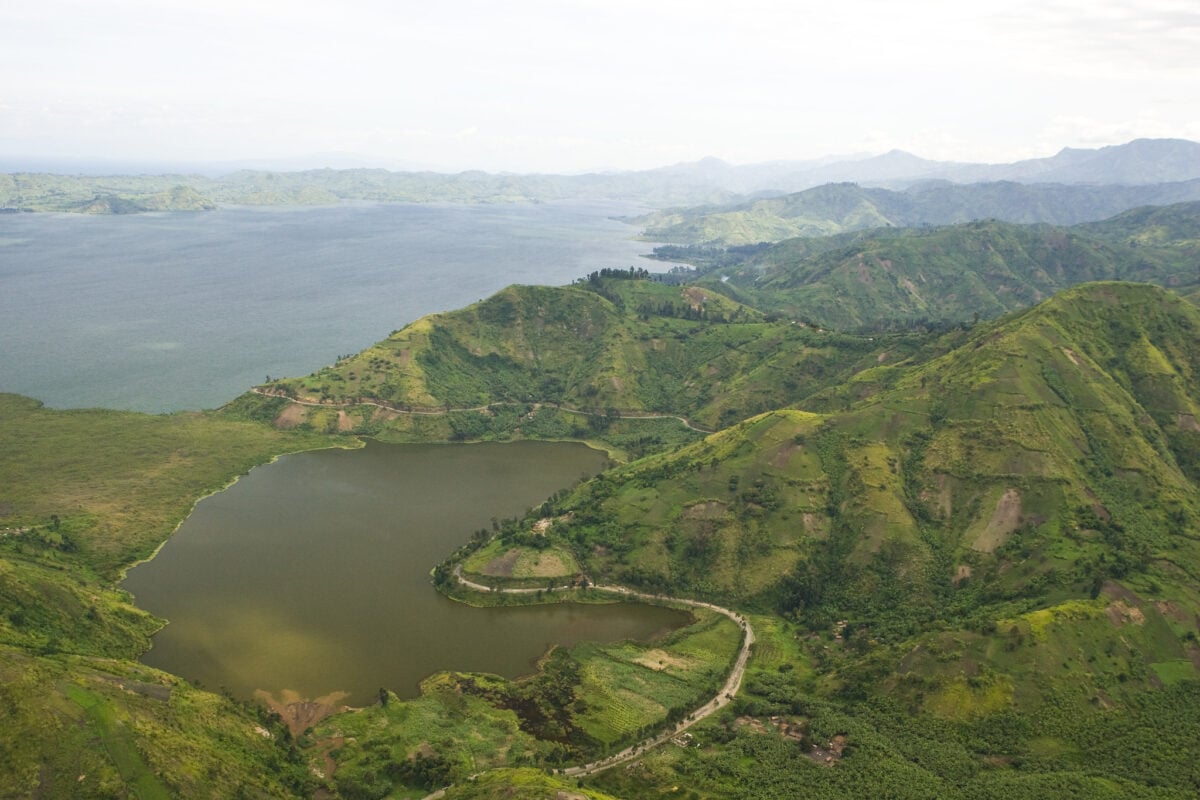
The DRC’s 2.3 million square kilometers contain the Congo Basin, which holds the world’s second-largest rainforest and enough mineral wealth to supply global markets for decades. Yet this same abundance has proven more curse than blessing, as the country’s resources have attracted more exploitation than development.
The Congo River system that drains much of the country carries more water than any river except the Amazon.
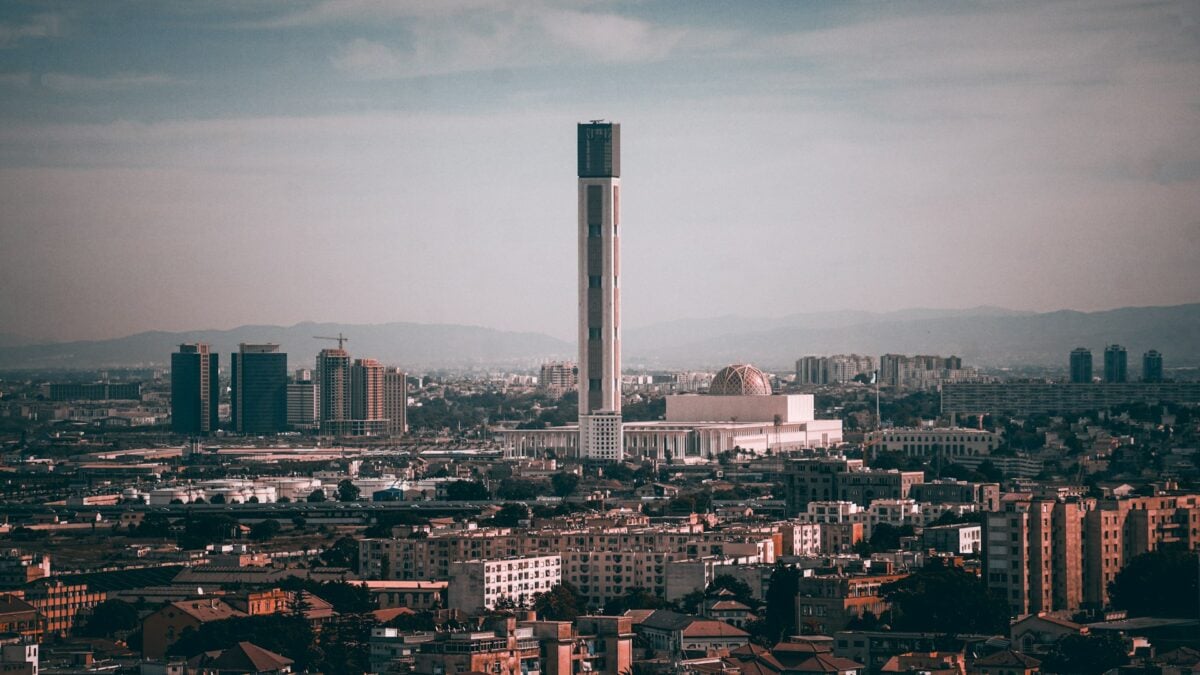
Saudi Arabia
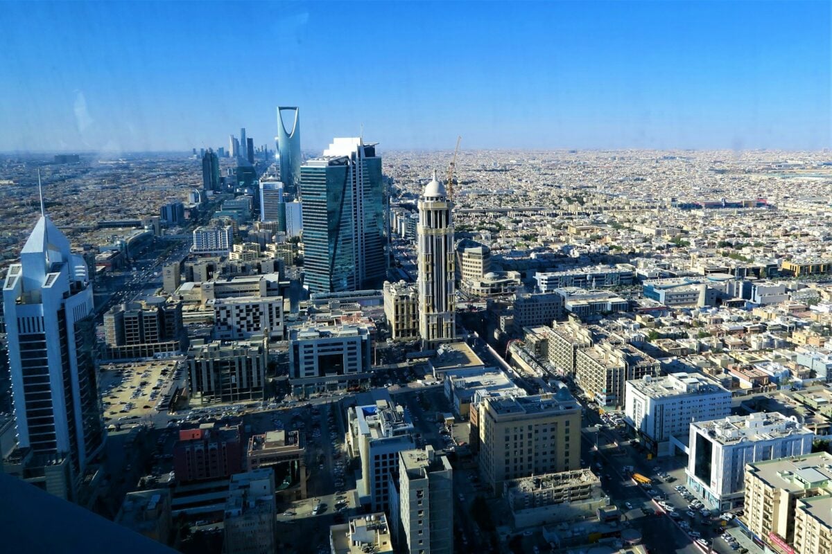
Desert kingdoms don’t get much more desert than Saudi Arabia’s 2.1 million square kilometers of Arabian Peninsula. The country sits on roughly 16-17% of the world’s proven oil reserves, which transforms what would otherwise be largely uninhabitable terrain into some of the most valuable real estate on Earth.
The Empty Quarter alone covers an area larger than France — and it’s exactly as empty as the name suggests.
Mexico
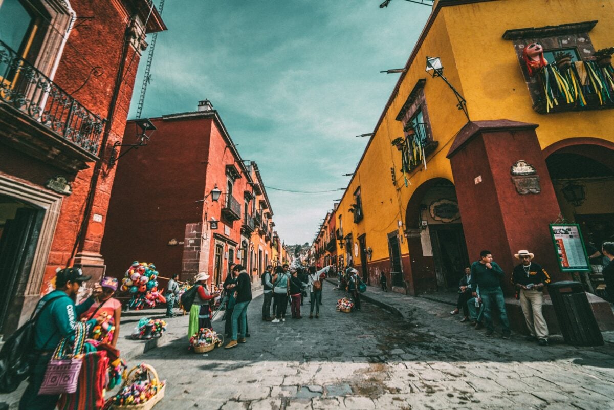
Mexico bridges North America and Latin America across 1.96 million square kilometers that contain pretty much every climate and ecosystem possible. Tropical beaches meet desert highlands, which give way to temperate forests, which blend into jungle — all within the same country’s borders.
The geographical diversity helps explain why Mexican cuisine varies so dramatically by region.
Indonesia
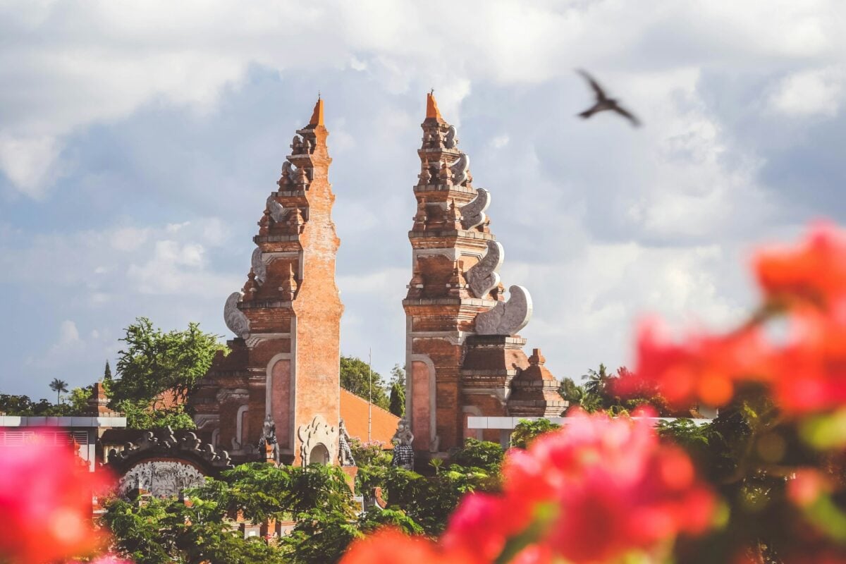
Spread across more than 17,000 islands, Indonesia’s 1.9 million square kilometers create a country that exists mostly as water. The archipelago stretches across three time zones and sits on the Ring of Fire, where tectonic activity has built some of the most dramatic volcanic landscapes on Earth.
Jakarta sits on Java, which despite being only the country’s fourth-largest island, contains over half the population.
Sudan
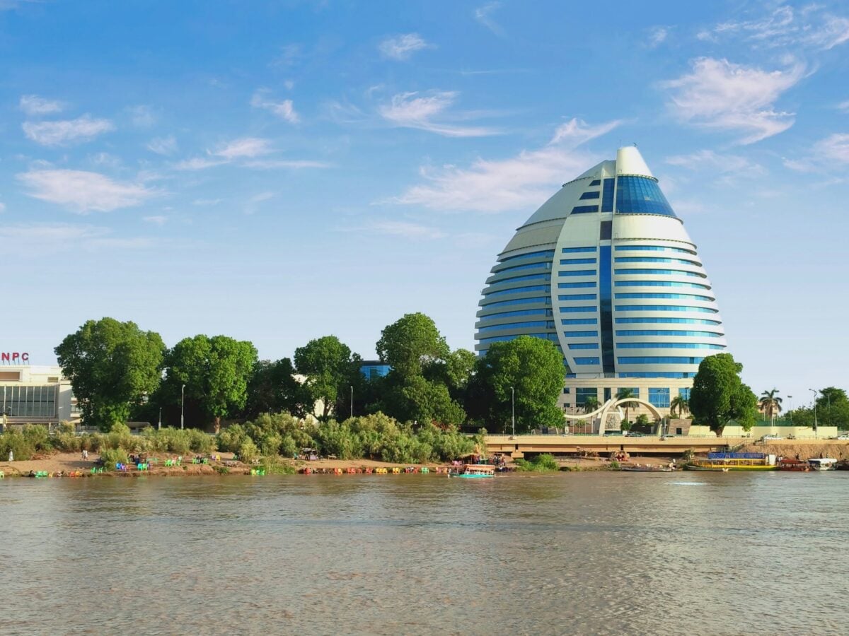
Sudan’s 1.88 million square kilometers demonstrate what happens when the Sahara Desert meets the Nile River system. The country straddles the transition zone between North Africa and sub-Saharan Africa, creating a geographical and cultural crossroads that has shaped trade routes for centuries.
The Blue and White Nile converge in Khartoum before heading north toward Egypt as a single river.
The Weight of Empty Space
These numbers tell only part of the story. Land area measures territory, not livability — and the difference between the two explains why Russia, despite being the largest country on Earth, has a smaller population than Bangladesh. Empty space carries its own kind of power, shaping weather patterns, preserving ecosystems, and reminding humans that most of the planet still belongs to forces larger than politics or borders.
More from Go2Tutors!

- The Romanov Crown Jewels and Their Tragic Fate
- 13 Historical Mysteries That Science Still Can’t Solve
- Famous Hoaxes That Fooled the World for Years
- 15 Child Stars with Tragic Adult Lives
- 16 Famous Jewelry Pieces in History
Like Go2Tutors’s content? Follow us on MSN.