Maps Drawn Centuries Ago That Show Places Nobody Can Identify
Cartographers of past centuries depicted phantom islands, legendary lands, and wildly distorted coastlines on their maps with complete confidence, creating navigational charts that sent explorers searching for places that never existed. These islands persisted across generations of maps through copying alone—once a feature appeared on a respected chart, other mapmakers reproduced it without verification, embedding error into the cartographic record.
The result is a fascinating archive of geographical impossibilities that reveal as much about how knowledge travels and solidifies as they do about the places themselves.
The Piri Reis Map and Its Contested Landmass

In 1513, Ottoman admiral Piri Reis drew a map on gazelle skin that synthesized dozens of older charts to map the Atlantic Ocean and the coasts of Europe, Africa, and South America. The map’s most famous controversy involves its southern section, which some have interpreted as Antarctica—a continent not officially discovered until 1820.
However, most scholars reject these theories as unfounded, pointing out that the Piri Reis map is a synthesis of different sources with various degrees of accuracy and distortion, with the landmass south of South America representing not Antarctica but Patagonia or Tierra del Fuego, bent at a distorted angle to fit the parchment. The map depicts the region as “very hot” and “full of snakes,” descriptions that match the Amazon Jungle rather than Antarctica.
Antillia and the Island of Seven Cities
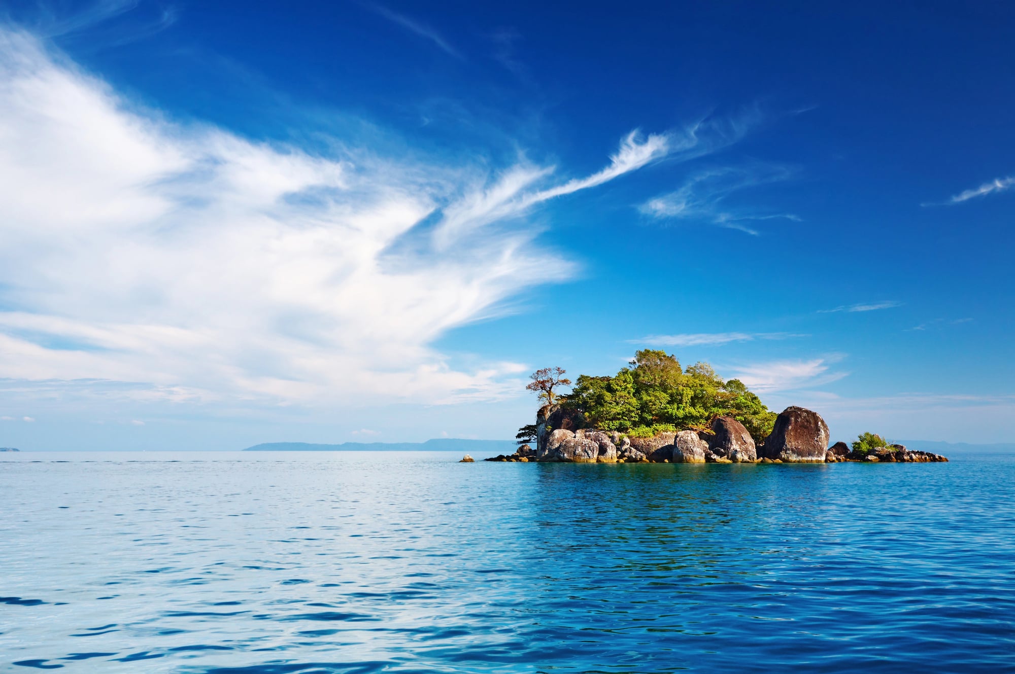
Antillia appeared on a map for the first time in the 1424 portolan chart of Venetian cartographer Zuane Pizzigano, shown as part of a group of four islands lying far in the Atlantic Ocean some 250 leagues west of Portugal and 200 leagues west of the Azores archipelago. The island originated from an old Iberian legend, set during the Muslim conquest of Hispania around 714, describing people fleeing west to settle an island subsequently known as the Isle of Seven Cities.
Antillia continued to appear in almost every nautical chart during the fifteenth century, but after 1492 the Atlantic became mapped more precisely, and Antillia slowly disappeared from maps. The phantom island’s name persists in the Spanish Antilles—islands the legend unwittingly helped name.
Satanazes: The Island of Devils
The island of Satanazes, also called the Island of Devils or the Hand of Satan, was a legendary island thought to be located in the Atlantic Ocean and depicted on many fifteenth-century maps. Zuane Pizzigano first depicted Satanazes in his 1424 portolan chart as a large, blue rectangular island indented with bays and five or six settlements, with the inscription “ista ixolla dixemo satanazes” meaning “this is the island called of the devils.”
The island appeared on maps north of Antillia and was drawn mostly on fifteenth-century maps until it gradually disappeared from charts as the Atlantic became better explored.
Hy-Brasil: The Misty Irish Island
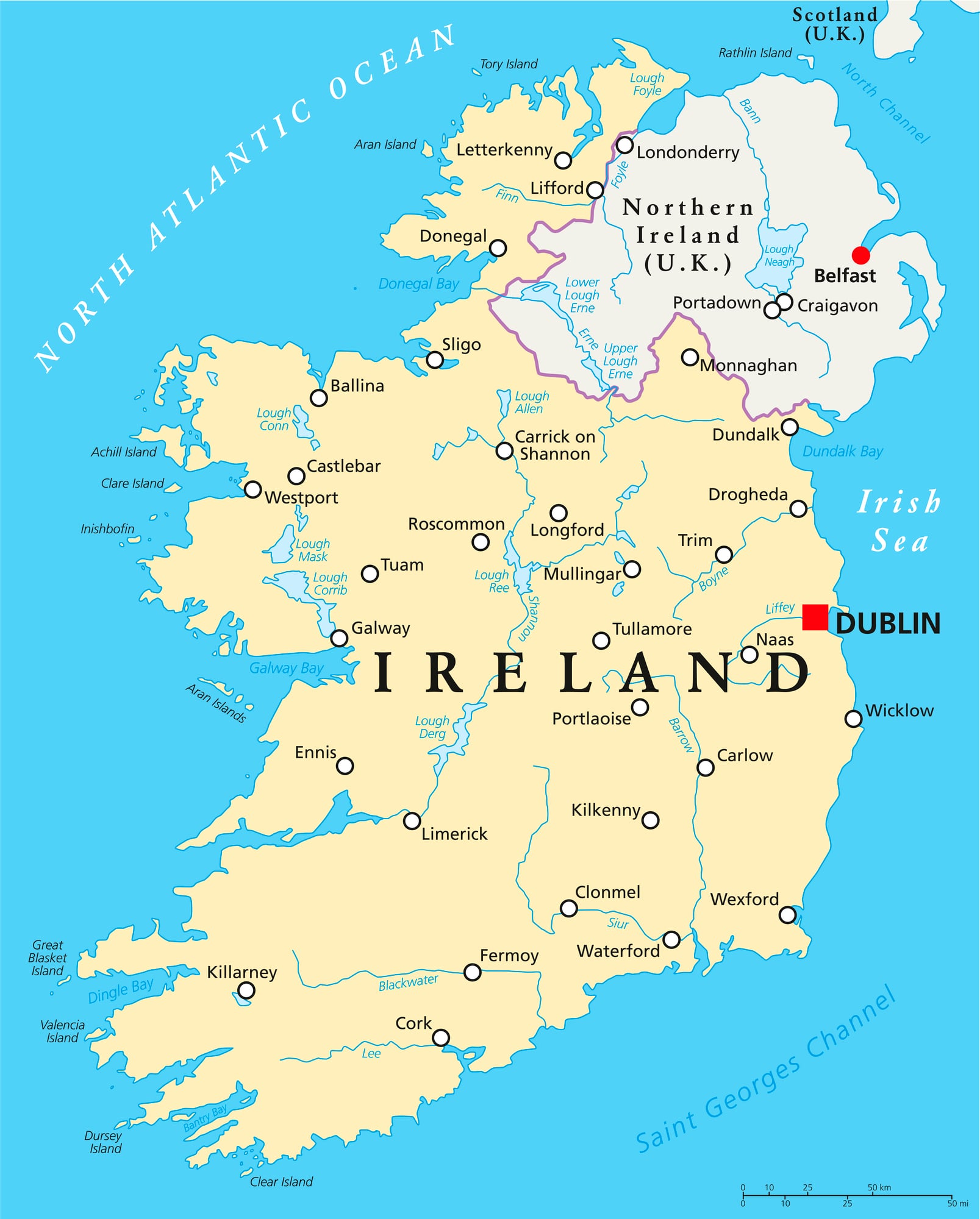
Hy-Brasil appeared on European maps for over 500 years—positioned roughly 321 kilometres off the west coast of Ireland—then vanished from cartographic records entirely after the mid-nineteenth century. In Irish myth, it was said to be clouded in mist except for one day every seven years, when it became visible but still could not be reached, and it often appears on maps as a circle with a channel running east to west across it.
Hy-Brasil appeared on the 1325 Genoese cartographer Angelino Dulcert’s map, then persisted through centuries of charts as different cartographers adjusted its position slightly while reproducing it from existing sources. Scientists today suggest the sightings were likely caused by Fata Morgana, a superior mirage effect over cold water.
Terra Australis Incognita: The Phantom Continent
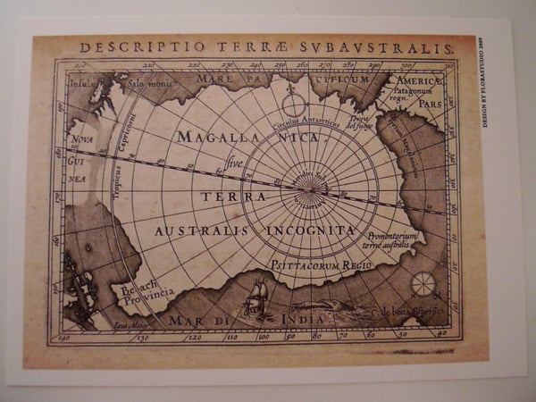
For nearly two centuries, Terra Australis Incognita—the Unknown Southern Land—appeared on maps produced by Europe’s most prestigious cartographers, sprawling across the entire southern hemisphere despite not existing. The mythical continent appeared on many sixteenth-century maps looking much like the continent of Antarctica, centuries before that continent was actually discovered in 1820.
Two theoretical arguments generated the chimera of Terra Australis Incognita: the theory of the antipodes, which stated that a hypothetical continent was located in the southern hemisphere to symmetrically balance the northern landmasses, and the theory of isthmuses, which claimed the Indian Ocean was surrounded by a strip of land uniting Africa and Asia. By the end of the seventeenth century, as explorers reported new discoveries, people began to doubt the continent’s existence, and it was eventually decided that it had never existed at all.
Thule: The Northern Edge of the World
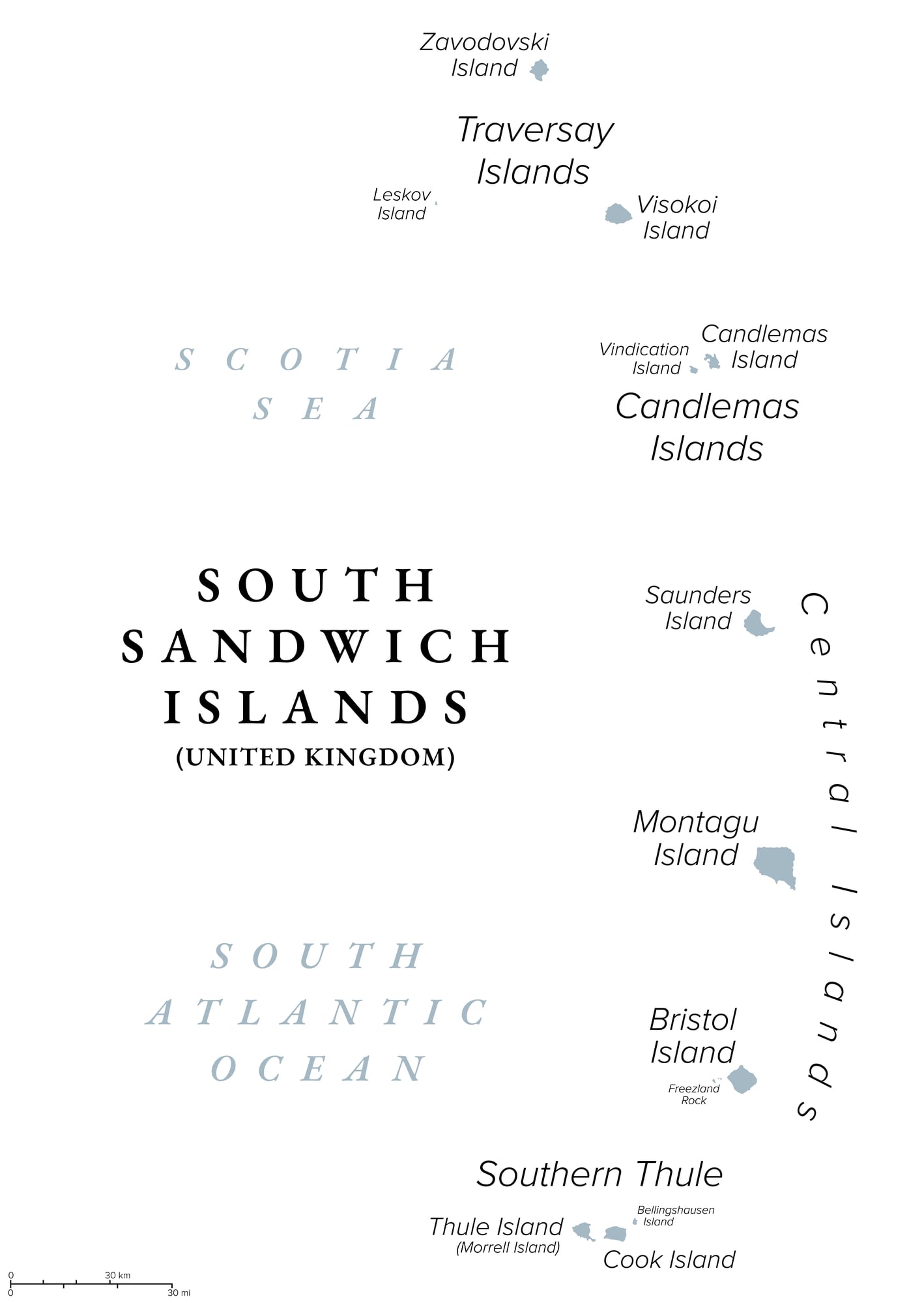
Thule is the most northerly location mentioned in ancient Greek and Roman literature and cartography, located north and west of both Ireland and Britain, south of Iceland and west of the Faroe Islands. The Greek explorer Pytheas wrote of Thule around 320 BC in his now-lost work “On the Ocean” after his travels, and his writings survive only in scattered references in the works of later authors.
Strabo described Pytheas as claiming that Thule was a six-day sail north of Britain near a frozen sea, but then doubted these claims, writing that Pytheas had “been found, upon scrutiny, to be an arch falsifier.” Thule appeared on various historical maps, including Olaus Magnus’s Carta Marina (1539) and Gerardus Mercator’s Map (1595), though explorers and geographers have speculated that it might be the Shetland Islands, Iceland, Scandinavia, or possibly nonexistent.
Frisland: The Enduring North Atlantic Error
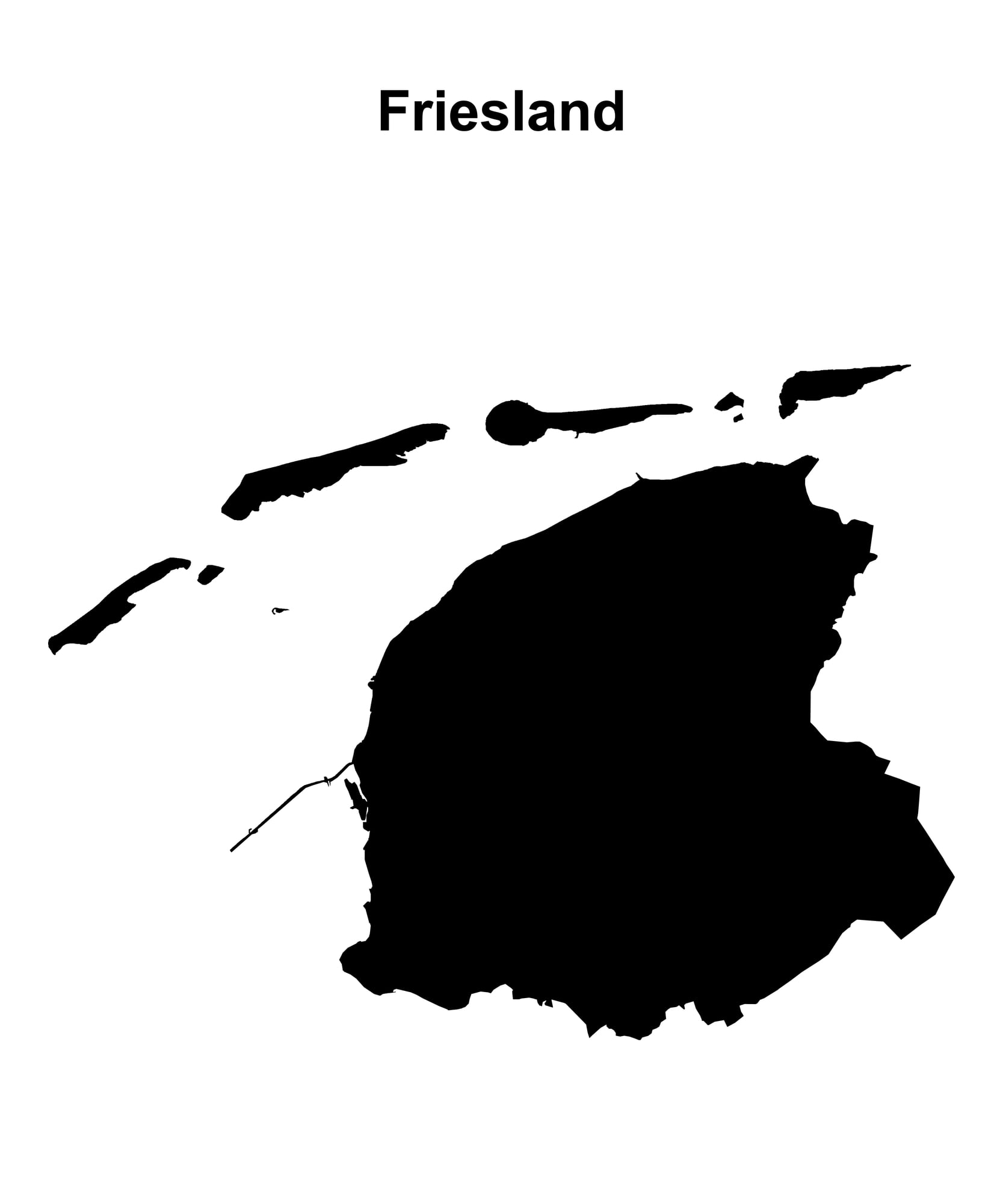
Frisland appeared on virtually all maps of the North Atlantic from the 1560s through the 1660s and was removed as no Frisland was found as the area was more thoroughly explored and navigation improved. Frisland was practically ubiquitous on maps in the sixteenth and seventeenth centuries, thought to be near Iceland and Greenland, and this prevalence may have stemmed from confusion with actual sightings of those two countries.
In the 1500s, a descendant of the Veneti brothers Nicolo and Antonio Zeno claimed to discover letters from the brothers along with their map detailing their supposed time in Frislanda, and the map was widely circulated and influenced cartographers of the era, though many now believe the expedition was a hoax or fabrication.
The Isle of Demons: A Haunted Newfoundland Legend
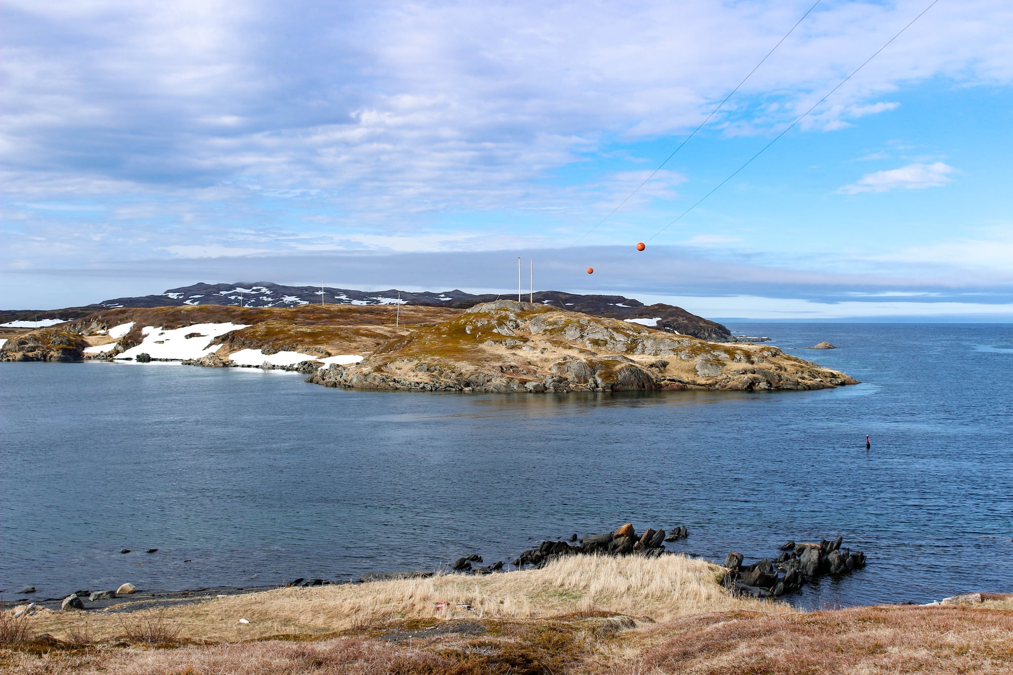
The Isle of Demons is a phantom island once associated with Quirpon Island, Newfoundland, in Canada, which began appearing on maps during the early sixteenth century and disappeared from maps during the mid-seventeenth century. In 1542, a noblewoman named Marguerite de La Rocque and her lover ended up on the island when they were kicked off their ship after their affair was discovered, and Marguerite survived two years there before rescue.
Maps from 1556 by Giacomo Gastaldi showed the island with an abundance of life including trees, birds, and little horned and winged demons that according to legend would attack passing ships. The island may have been misidentified as Belle Isle, Quirpon Island, Fischot Island, or even Caribou Island, off Labrador’s east coast.
Bermeja: The Long-Lost Gulf Island
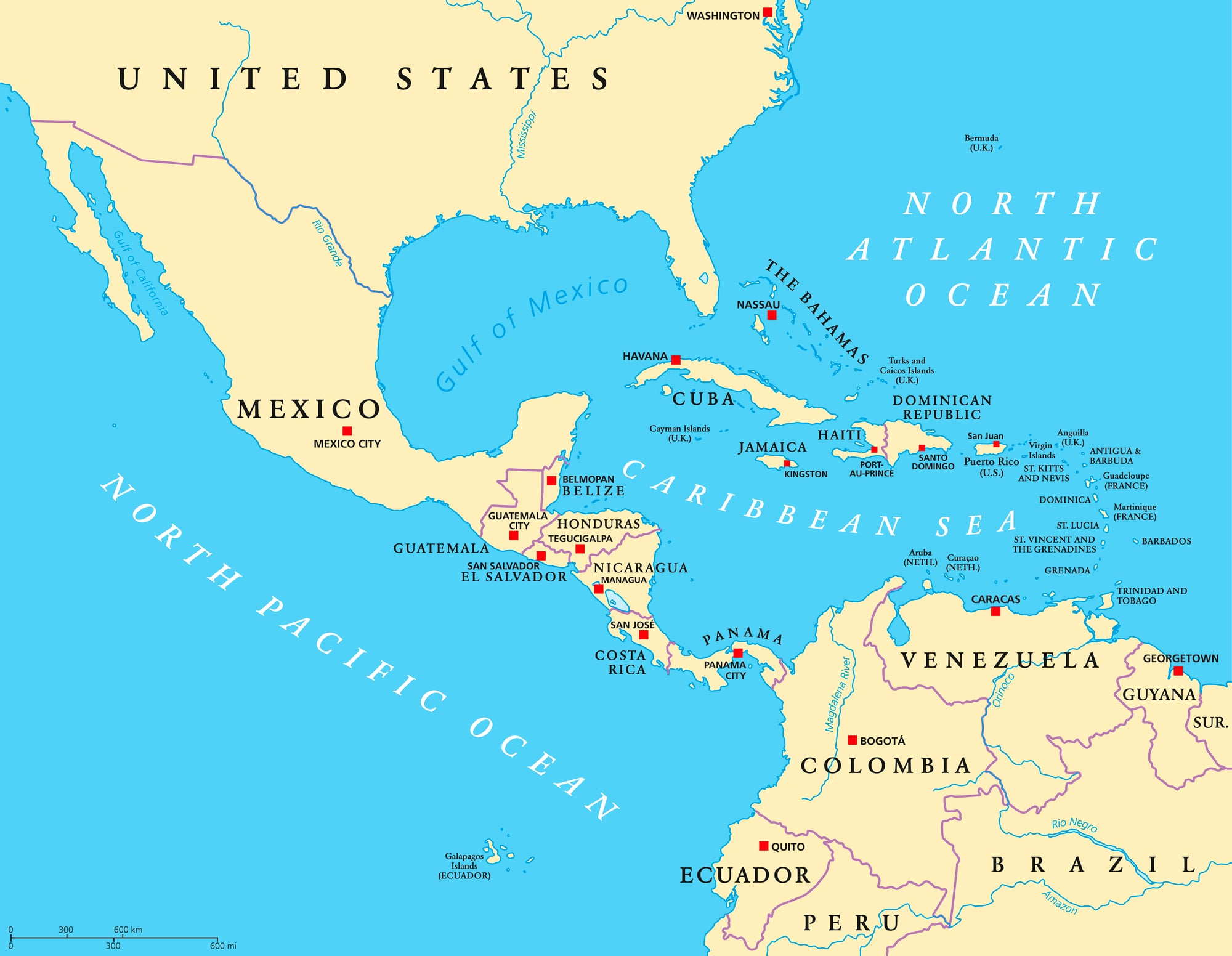
The longest-lived phantom island is Bermeja, reportedly located northwest of the Yucatán Peninsula in the Gulf of Mexico, first described by Spanish cartographer Alonzo de Santa Cruz in 1539, and continued to appear on maps and maritime charts until the early twentieth century. Bermeja appeared on maps for 382 years, with the last significant map including it being the 1921 edition of the Atlas of the Mexican Republic, though the Mexican government continued to lay claim to this island until as recently as 2009.
Over the centuries, multiple expeditions attempted to verify Bermeja’s existence at coordinates 22°33′ north and 91°22′ west, yet none succeeded, with searches finding no physical indication that Bermeja had ever occupied that position.
How Cartographic Errors Became Permanent
When cartographers copied maps from other sources, they reproduced not only accurate features but also errors and phantom features. A phantom island appearing on one respected chart became authority enough for the next mapmaker to include it, and each reproduction lent the nonexistent place additional credibility.
The island was not questioned because it appeared on multiple maps—those multiple appearances were all derived from a single source. Only when explorers reached an area and found it contradicted the maps did the error become undeniable, and by then, the phantom had often been copied for centuries.
Mythological Places Treated as Geography
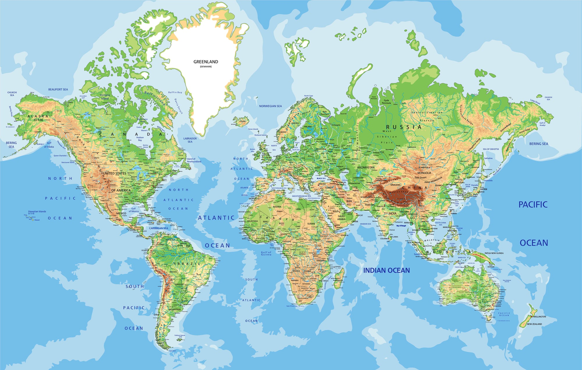
Cartographers included places from classical texts and legend as if they were verified locations. During the fifteenth through eighteenth centuries, maps incorporated hypothesized continents like Terra Australis Incognita as seen in Abraham Ortelius’s 1570 Theatrum Orbis Terrarum map.
Atlantis, El Dorado, Lemuria, and Mu appeared on maps with specific coordinates and apparent authority. By placing legend onto the geographic grid of latitude and longitude, cartographers gave mythology the appearance of fact, and an explorer seeking these places found themselves with precise coordinates and the backing of the map’s prestige, yet discovered only empty ocean or land with a different name.
Modern Phantom Islands: Errors Persist
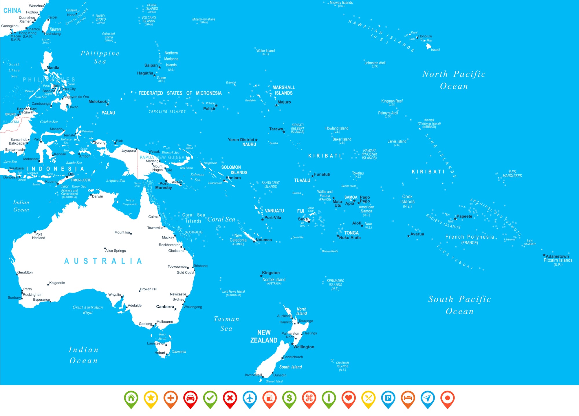
The phenomenon of phantom islands did not end in the Renaissance. As recently as 2012 an expedition went to a phantom island expecting to find it between New Caledonia and Australia—Sandy Island had been included on Google Maps, but researchers who tried to find it were shocked to find nothing there.
Even modern navigational charts have included islands later found not to exist. Sandy Island remained on maps into the twenty-first century despite having never been there, and the phenomenon reveals that cartographic authority persists even when the foundation is error—a phantom copied enough times becomes real enough to trust.
Misidentified Real Islands and Distorted Coastlines
Some phantom islands may have originated from real geographic features dramatically misplaced or misidentified. A coastal peninsula viewed from a certain angle might appear to be an island, while an actual island placed at the wrong coordinates through navigation error could become a phantom once explorers found nothing at the marked location.
Others resulted from conflating multiple islands or mistranslating place names. The boundary between genuine error and fabrication was often unclear, with cartographers working from fragmentary reports and conflicting sources without the ability to verify locations independently.
What Maps Reveal About Knowledge and Error

These phantom islands demonstrate how knowledge—or apparent knowledge—crystallizes through repetition. A single cartographer’s guess, once drawn and printed, could influence hundreds of subsequent maps across centuries.
The cartographic errors persisted not because they were unquestionably believed, but because reproducing existing maps was faster and cheaper than creating new ones from unexplored territory. When the maps themselves became the authority rather than the territory they supposedly represented, phantom islands became as real as verified continents on paper.
The gradual removal of these islands from maps coincided with exploration that contradicted them and with improved navigation technology that could definitively prove their absence. Yet even modern satellite imagery and digital mapping cannot entirely eliminate phantom islands from historical consciousness.
They remain in archives and museums, permanent records of what cartographers thought the world contained when they had only fragments of knowledge to work from, and the persistence of error to guide them.
More from Go2Tutors!

- The Romanov Crown Jewels and Their Tragic Fate
- 13 Historical Mysteries That Science Still Can’t Solve
- Famous Hoaxes That Fooled the World for Years
- 15 Child Stars with Tragic Adult Lives
- 16 Famous Jewelry Pieces in History
Like Go2Tutors’s content? Follow us on MSN.