31 Roads Built by Empires Still Used
Empires fall apart in a few generations, but their roads have a habit of staying put. A good route over a mountain or across a marsh is a good route no matter who collects the taxes, so later governments simply paved over what the old ones surveyed.
Drive a motorway in England, a national road in Italy or a gravel pass in the Western Cape and there is a fair chance you are following a line some long-dead engineer drew for soldiers, couriers or ox wagons. Here are the ones still carrying traffic, feet and hooves today.
Via Appia, the Queen of Roads
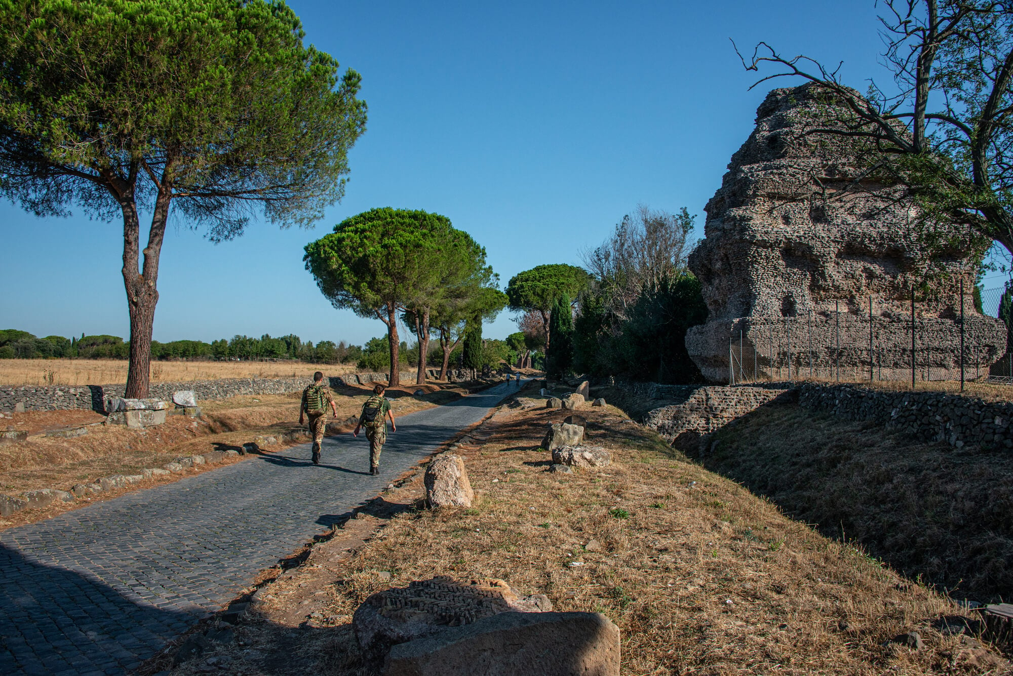
Appius Claudius Caecus began this road south from Rome in 312 BC, and the Romans themselves called it the queen of long roads. Its first stretch ran to Capua and was later pushed all the way to Brindisi on the Adriatic.
Outside Rome, the Via Appia Antica still has long runs of its original basalt paving stones, rutted by centuries of cartwheels. Cars are kept off much of the ancient section on Sundays, which is the best time to walk it past the tombs and catacombs that line both sides.
Via Flaminia and the Furlo Tunnel
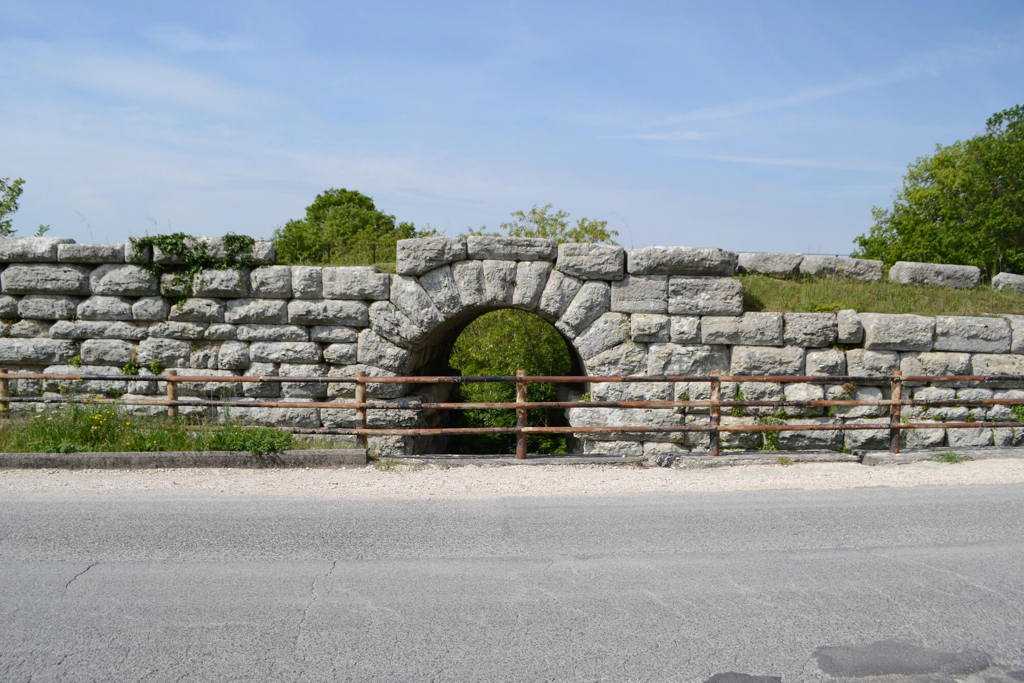
Gaius Flaminius built this road from Rome over the Apennines to the Adriatic coast at Rimini in 220 BC. The modern SS3 highway still carries the name and follows much of the old line.
The standout piece is the Furlo Pass, where the emperor Vespasian had a tunnel cut through solid rock in AD 76 and 77. Traffic still passes near that tunnel almost two thousand years later, which makes it one of the oldest road tunnels anywhere with a working life.
Via Aurelia Along the Tyrrhenian Coast
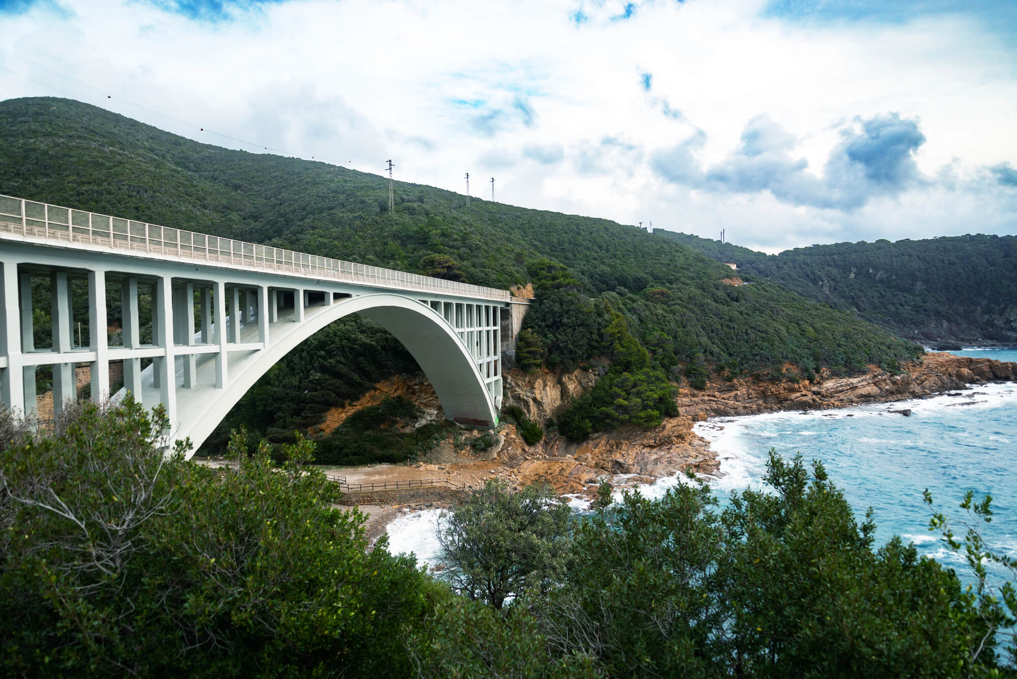
The Via Aurelia left Rome heading northwest along the coast toward Pisa and eventually Genoa and southern Gaul. Its modern successor is the SS1, still signed as the Aurelia, one of the longest state roads in Italy.
Coastal towns such as Civitavecchia grew up as stops on the route. Plenty of Italians drive it every day without giving the name a second thought, which is the quiet kind of survival most roads on this list share.
Via Cassia Through Etruscan Country
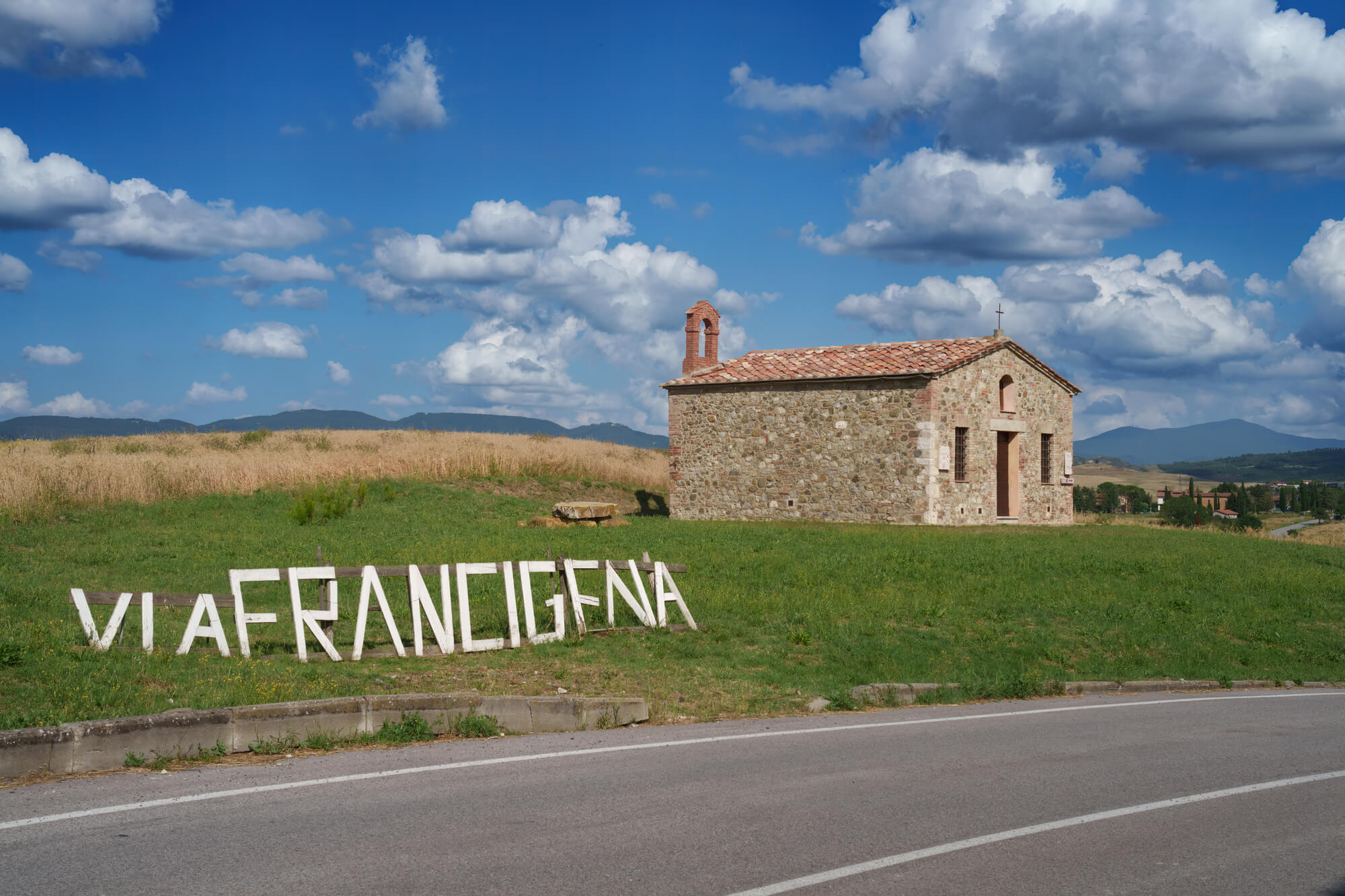
The Via Cassia ran north from Rome through the old Etruscan heartland toward Florence. Today the SS2 follows the same corridor and keeps the Roman name on its signs.
On the edges of Rome it is a busy commuter artery lined with apartment blocks and petrol stations. Further north it becomes a quiet country road through Tuscany, which is closer to how a Roman traveler would have known it.
Via Salaria, the Salt Road
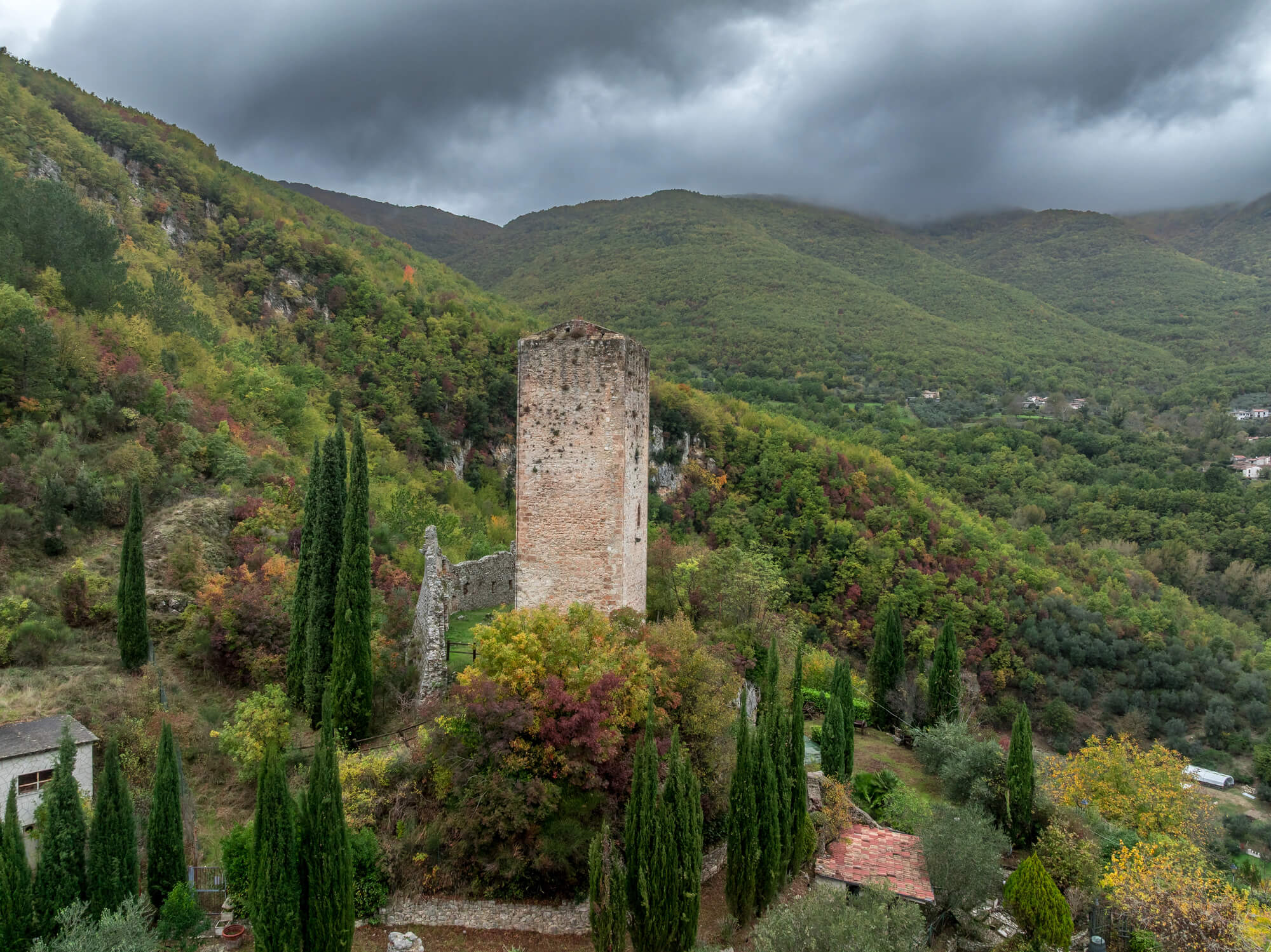
The Via Salaria is one of the oldest routes into Rome, named for the salt carried inland from the coast near the Tiber mouth. It linked Rome with the Sabine country and eventually reached the Adriatic.
The modern SS4 runs along much the same path and still carries the Salaria name. Salt was valuable enough to justify a paved road, which tells you plenty about how much a basic commodity was worth before refrigeration.
Via Egnatia Across the Balkans
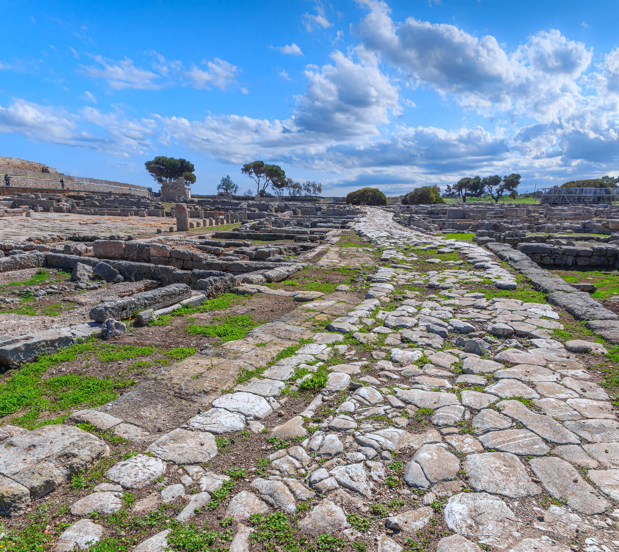
Built from about 146 BC, the Via Egnatia crossed the Balkan peninsula from Dyrrachium on the Adriatic to Byzantium, roughly 1,100 kilometers. It gave Rome a land bridge between Italy and its eastern provinces.
Greece named its modern northern motorway Egnatia Odos in its honor, and much of the new road follows the old corridor. In the Greek city of Thessaloniki, the main Egnatia street still runs close to the ancient line through the center of town.
Via Militaris From Belgrade to Istanbul
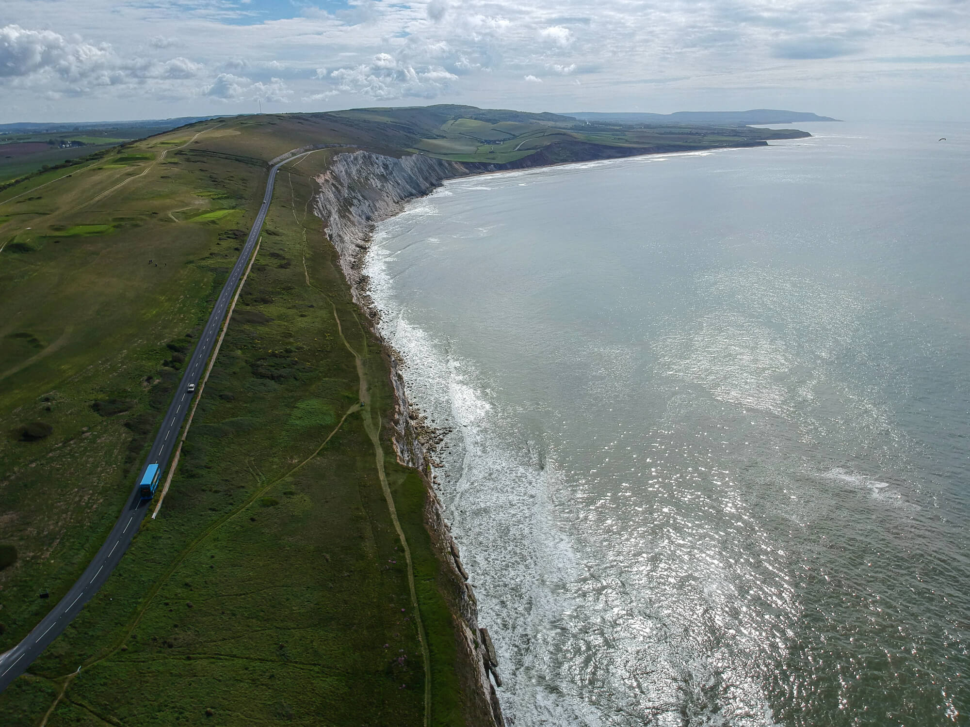
The Romans laid this military road from Singidunum, modern Belgrade, through Naissus and Serdica to Constantinople. The Ottomans reused the same corridor as their main road into Europe, and it earned the nickname the Constantinople road.
Today the E80 and E75 highways and the main rail line through Serbia and Bulgaria trace much of the same path. Three empires, one valley system, and the logic of the route never changed.
Via Domitia in Southern France
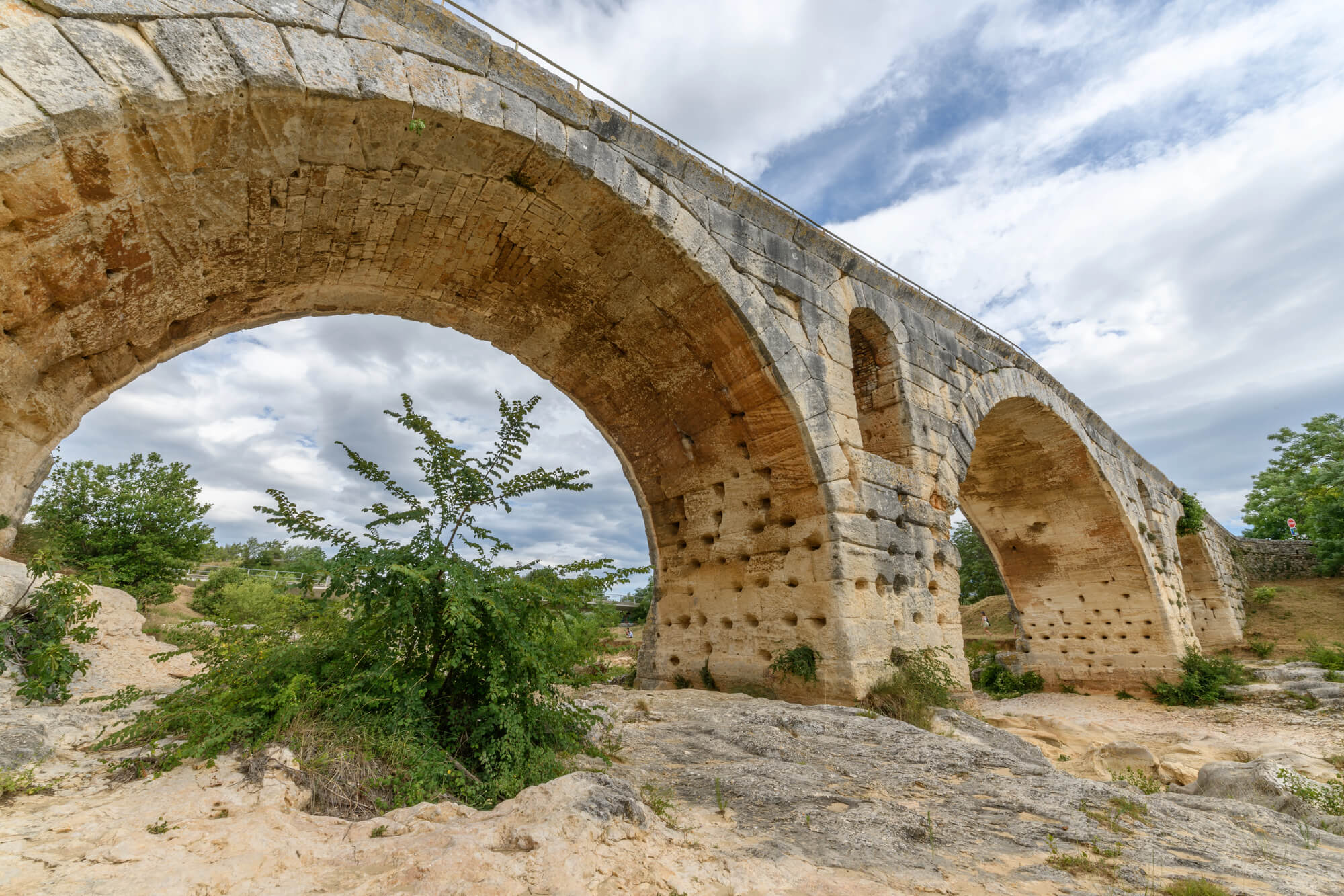
Gnaeus Domitius Ahenobarbus began this road in 118 BC to link Italy with Spain, making it the first Roman road built in Gaul. It crossed the Alps and ran along the Mediterranean coast through Narbonne.
In the center of Narbonne, a section of the original paving is exposed in the main square, complete with wheel ruts. Stretches of local country road across Languedoc still follow the Domitia almost exactly.
Via Augusta Down the Spanish Coast
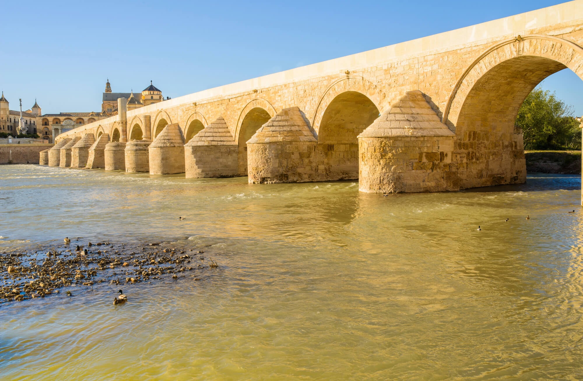
The longest Roman road in Hispania ran roughly 1,500 kilometers from the Pyrenees to Cadiz. Emperor Augustus reorganized and renamed it, and it tied the Mediterranean coast to the rich farmland of the south.
Modern Spain’s N-340 and parts of the AP-7 motorway follow the same broad route. Near Tarragona, the Roman arch of Bara still stands beside the road that replaced the one it once spanned.
Via Claudia Augusta Over the Alps
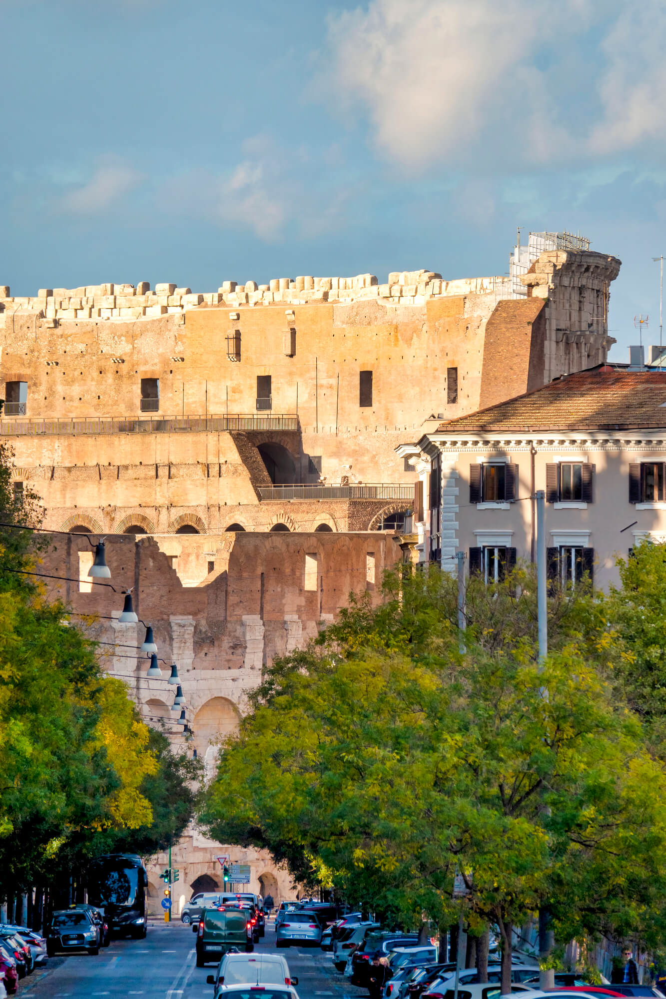
Drusus began this road over the Alps around 15 BC, and the emperor Claudius finished it in AD 46 or 47. It linked the Po Valley and the Adriatic with the Danube, crossing the Reschen Pass.
Much of the route now doubles as a long-distance cycling trail running from southern Germany into Italy. Riders following the old surveyors’ line discover the Romans picked gradients a loaded cart could manage, which suits a bicycle just as well.
Fosse Way Across England
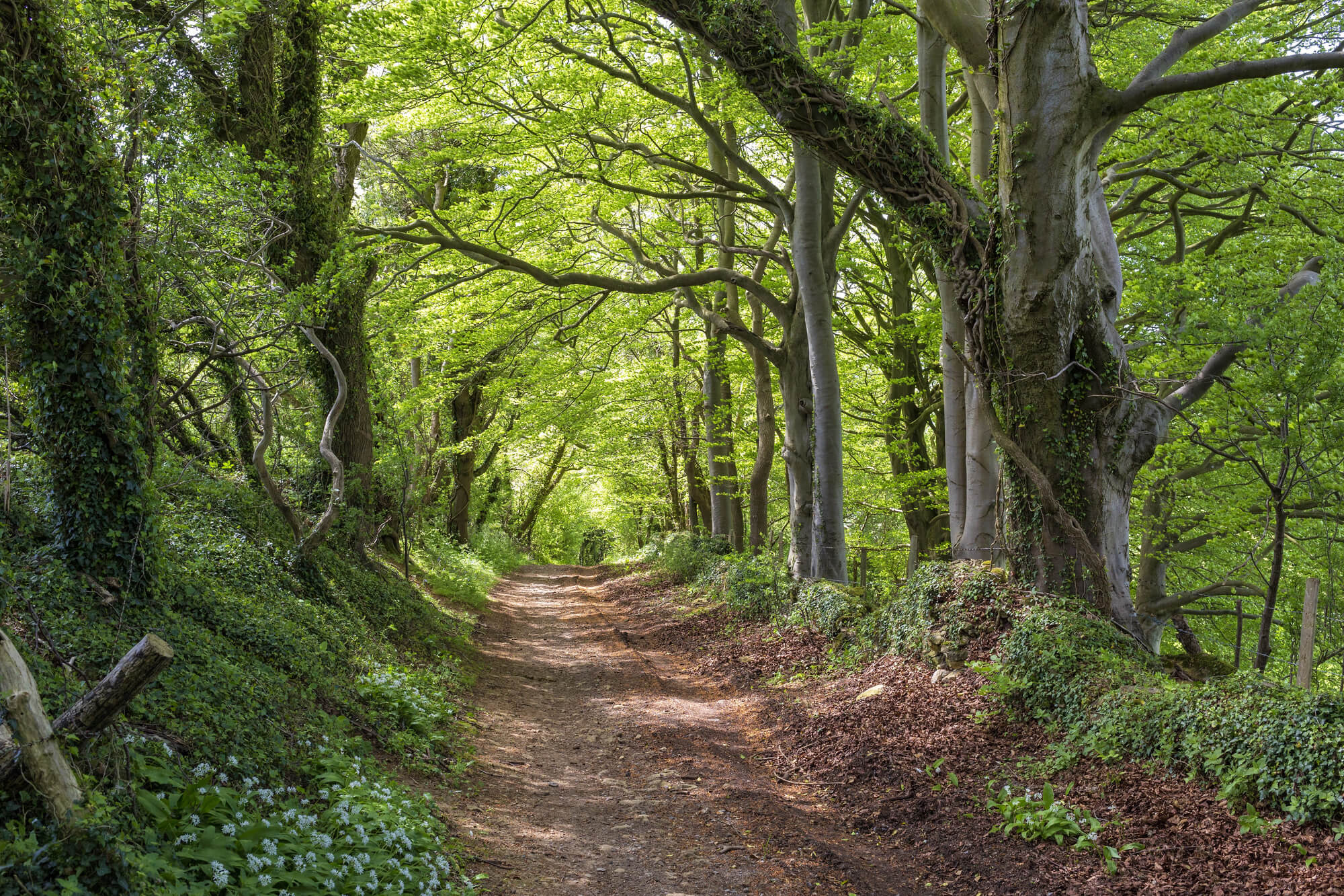
The Fosse Way ran about 370 kilometers from Exeter to Lincoln and marked the early western frontier of Roman Britain. It is famous for its stubborn straightness, never straying more than about ten kilometers from a direct line.
Modern roads including the A429 and A46 follow long sections of it. Drivers in the Cotswolds often notice the road running dead straight for kilometers at a time without realizing who laid it out.
Watling Street From Dover to Wroxeter
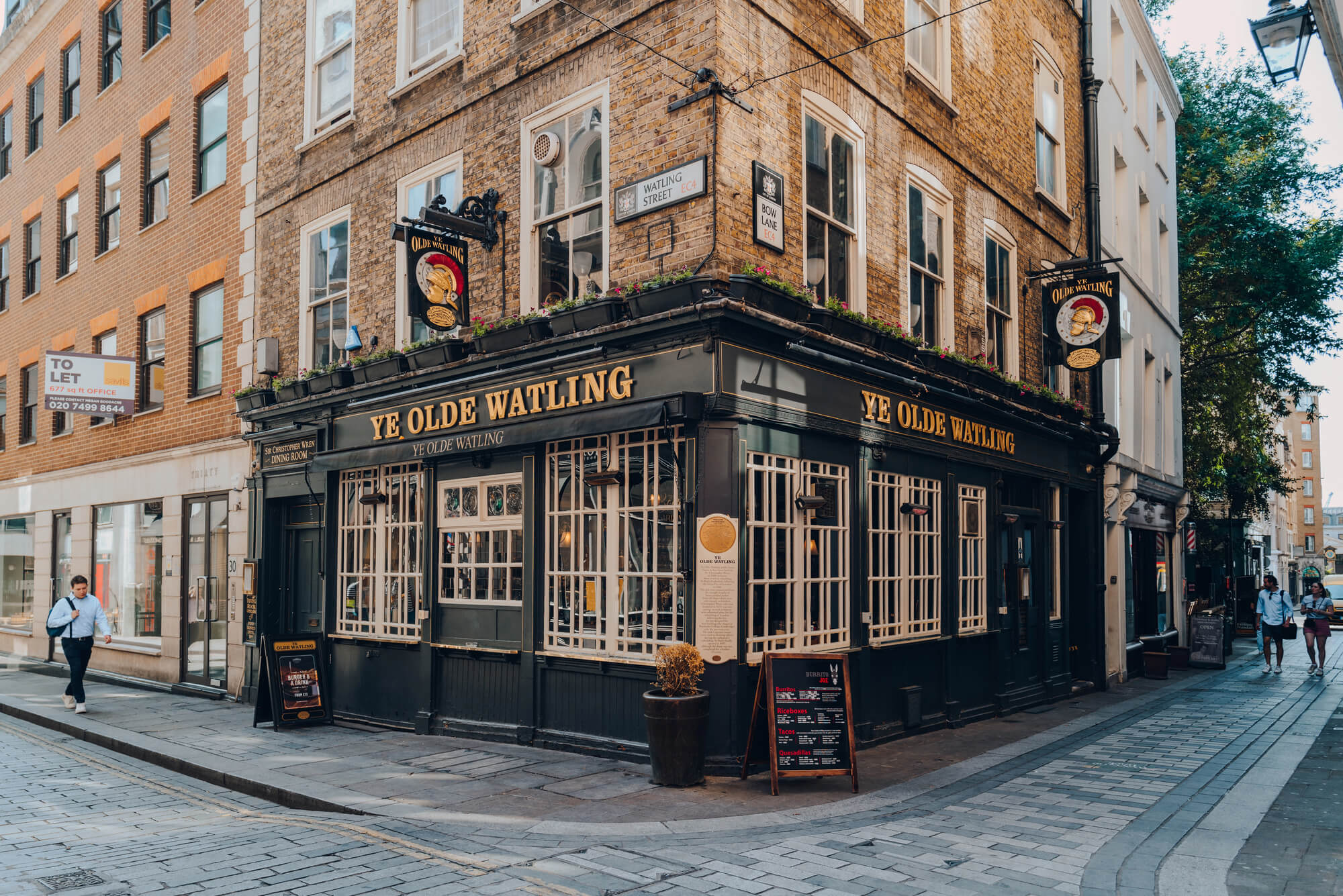
Watling Street linked the Kent coast with London and then ran northwest to Wroxeter in Shropshire. The A2 follows the southern section, and the A5 follows a long stretch of the northwestern part.
The road was already ancient when Anglo-Saxon and Danish kingdoms used it as a boundary line. A route that once moved legions now moves commuter traffic and delivery vans through the Midlands every day.
Ermine Street to Lincoln and York
Ermine Street ran north from London toward Lincoln and on to York. The A10 and sections of the A1 still follow its course across the eastern counties.
Through parts of Cambridgeshire and Lincolnshire the modern road holds the Roman alignment with barely a bend. Anyone who has driven the Great North Road has spent some of that drive on a surveyor’s line drawn almost two thousand years ago.
Dere Street Toward Scotland
Dere Street ran north from York past Hadrian’s Wall and on into Scotland toward the Firth of Forth. The A68 follows long sections of it, and it keeps the same habit of climbing hills head-on rather than winding around them.
Roller-coaster dips on the A68 are partly the legacy of a Roman preference for straight lines over gentle curves. Parts of the route that the modern road abandoned survive as grassy tracks walkers can still follow.
Geira, Portugal’s Milestone Road
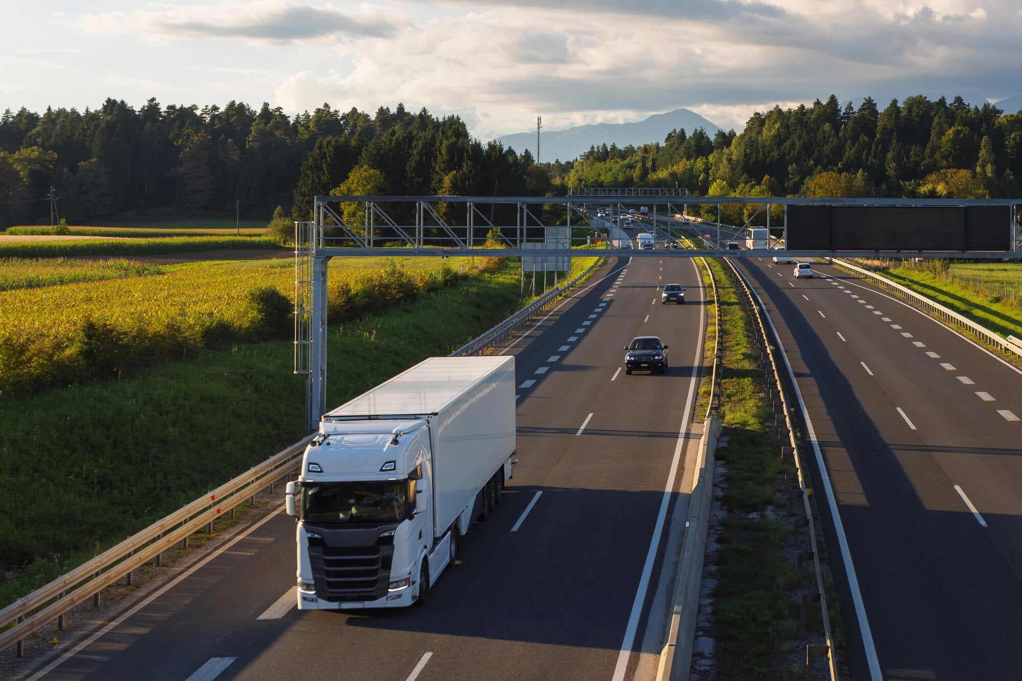
The Via Nova, known locally as the Geira, linked Braga in northern Portugal with Astorga in Spain in the late first century AD. It crosses what is now the Peneda-Geres National Park.
The road is known for the unusual number of Roman milestones still standing along its route, many of them carved with emperors’ names. Hikers follow it today through oak woods and granite hills, counting miles the way Roman travelers did.
Via Traiana Nova and the King’s Highway
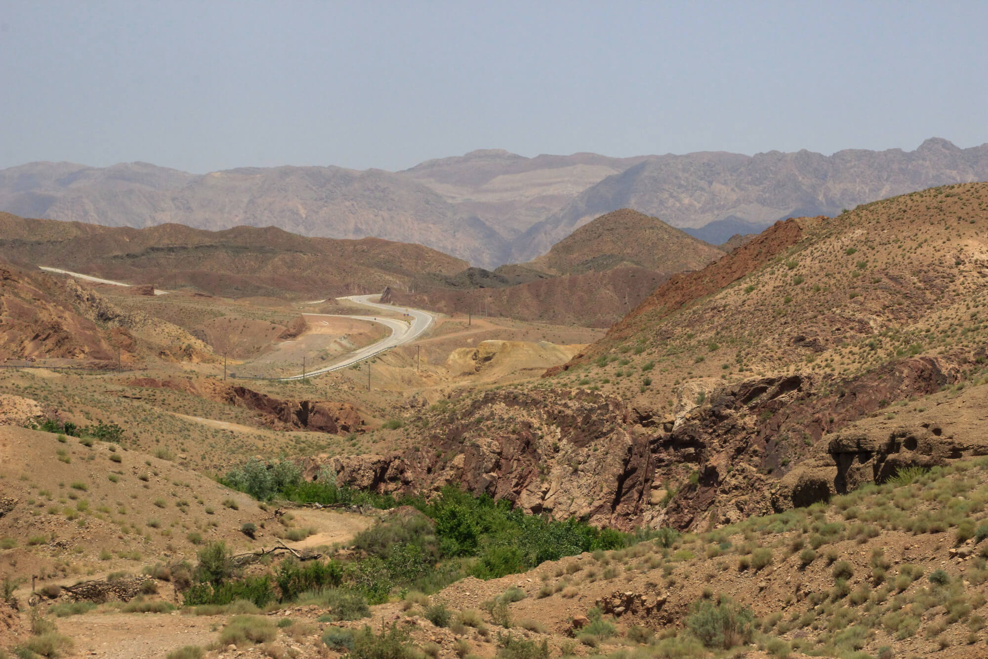
Emperor Trajan built this road between AD 111 and 114 to run from Bostra in Syria down to Aila, modern Aqaba, on the Red Sea. It followed an even older trade corridor that appears in biblical accounts as the King’s Highway.
Jordan’s modern King’s Highway still runs along much the same line through Madaba, Karak and Tafilah. Travelers use it today for the same reason Trajan’s engineers did, because it links the high plateau towns one after another.
The Royal Road of Persia
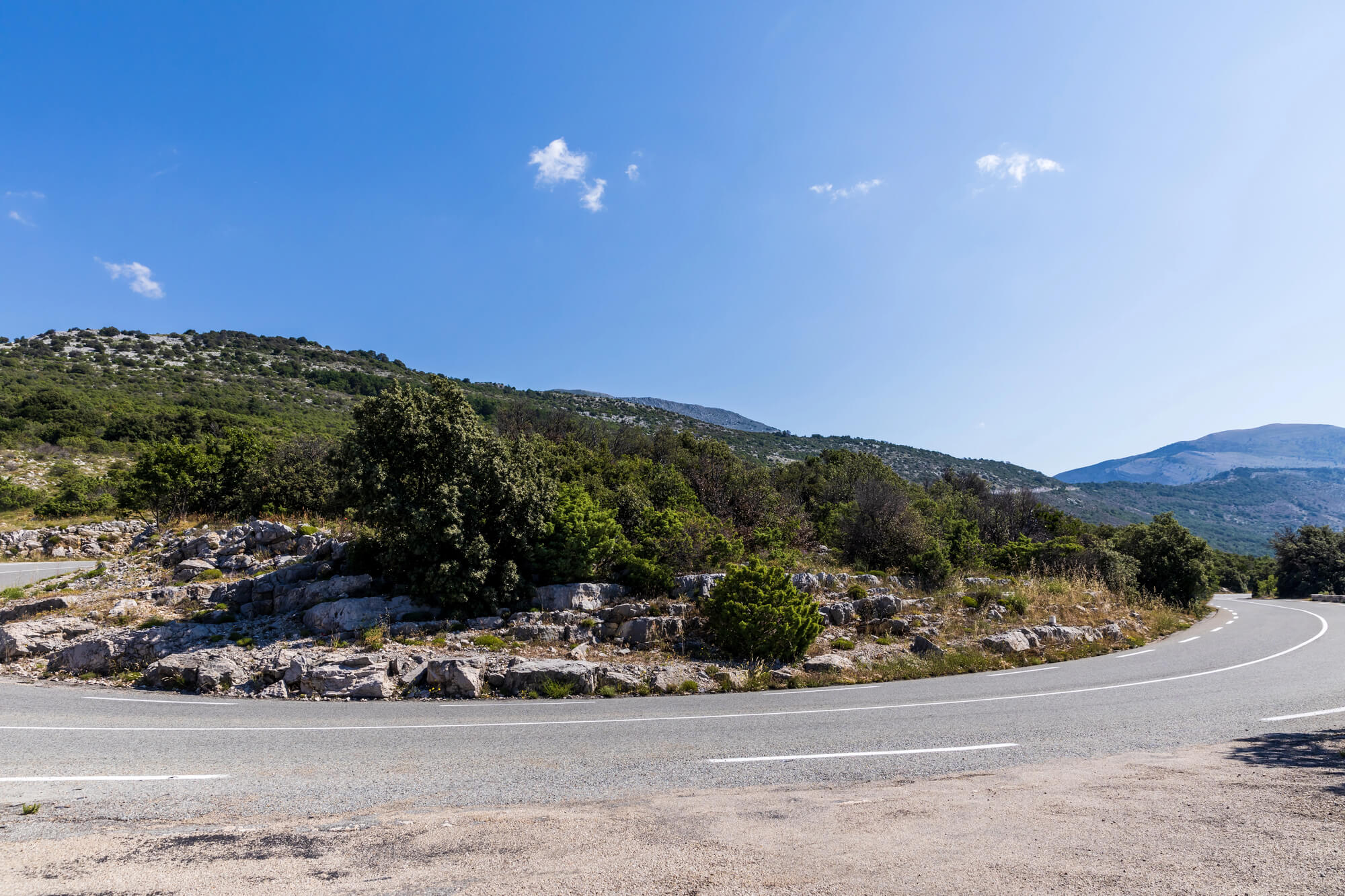
Darius the Great of the Achaemenid Empire organized the Royal Road in the fifth century BC, running roughly 2,500 kilometers from Susa to Sardis near the Aegean. Herodotus described a relay of mounted couriers who covered the distance in little more than a week, where a traveler on foot needed around three months.
His praise of those couriers is the source of the unofficial motto carved on the old New York post office building. Sections of the route across Anatolia are still followed by modern roads, a working reminder that fast communication was an imperial priority long before the telegraph.
Qhapaq Nan, the Inca Road System
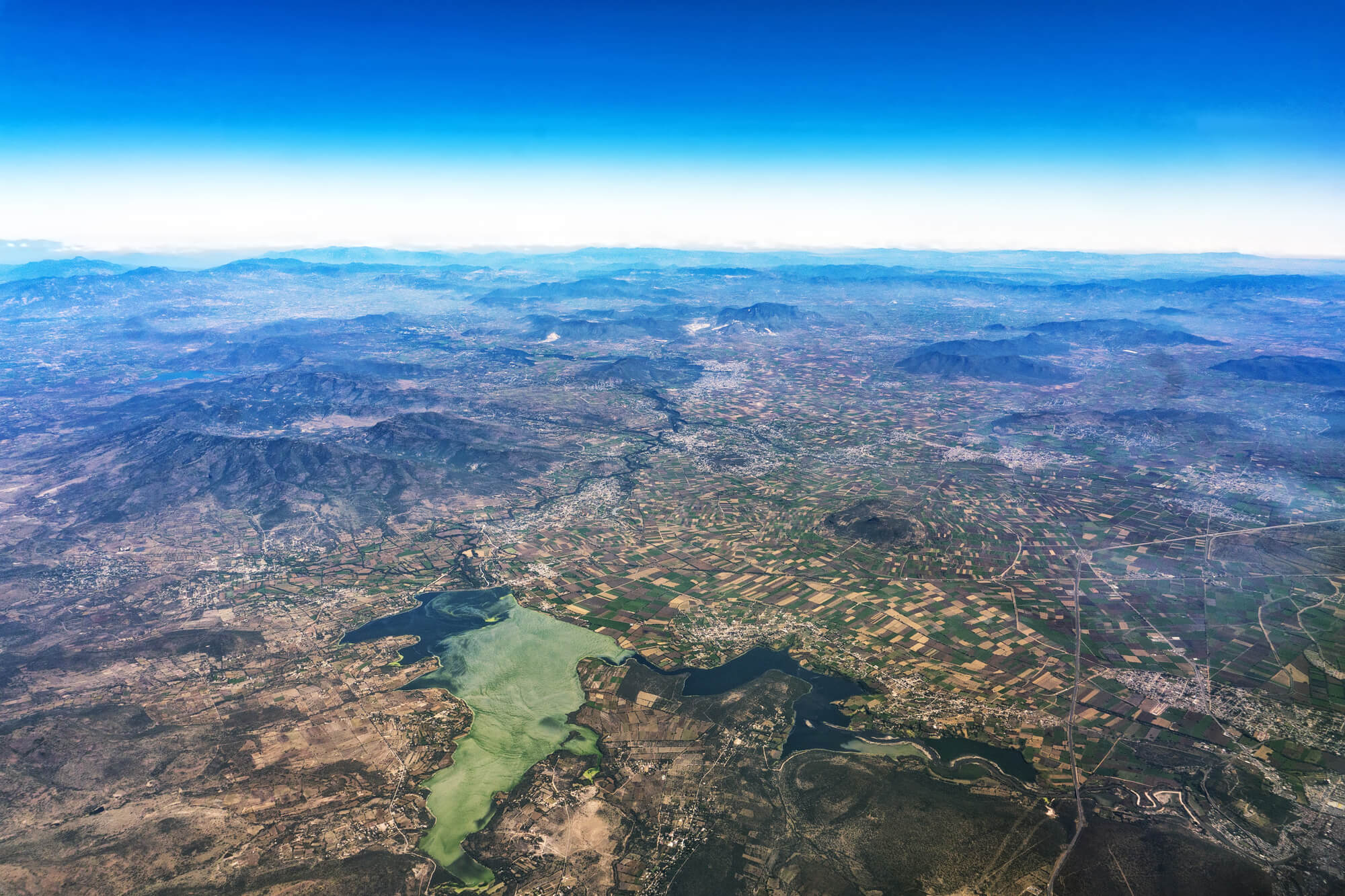
The Inca Empire built a road network of roughly 30,000 kilometers along the Andes, linking what are now six countries. UNESCO listed it as a World Heritage Site in 2014.
Andean communities still use sections daily to move people, animals and goods between villages. The Q’eswachaka rope bridge in Peru, part of the network, is rebuilt by hand every year from twisted grass using Inca techniques.
Tenochtitlan’s Causeways in Mexico City
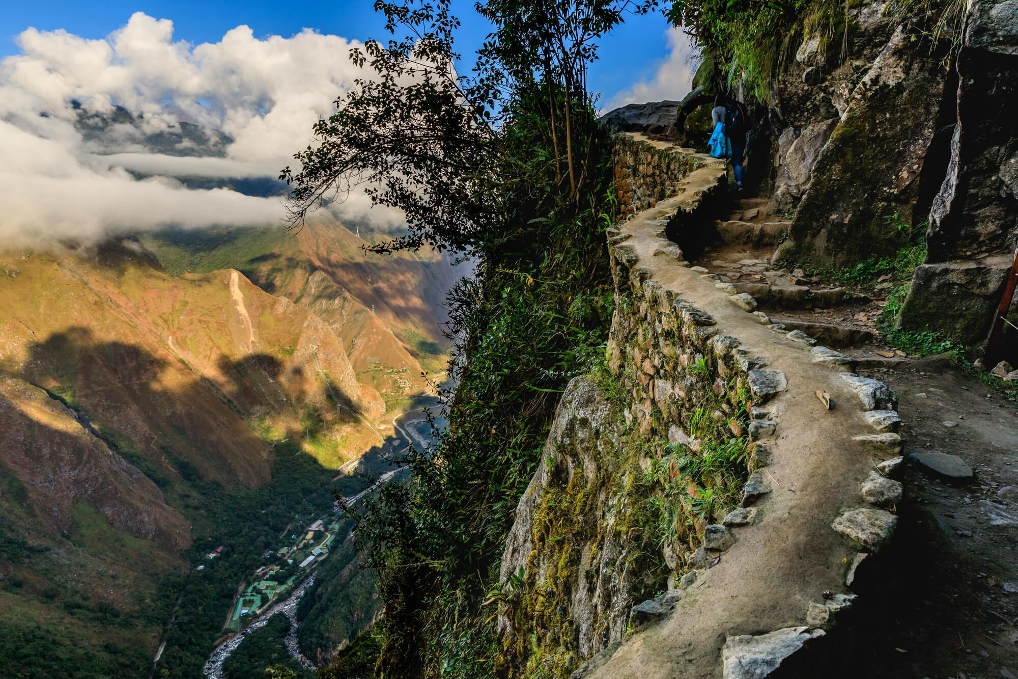
The Aztec capital sat on an island in Lake Texcoco, connected to the shore by long raised causeways. When the lake was drained, the causeways became streets.
The Calzada de Tlalpan in Mexico City follows the old southern causeway, and other major avenues trace the northern and western routes. Millions of people commute every week along lines laid out by an empire that fell in 1521.
Camino Real de Tierra Adentro
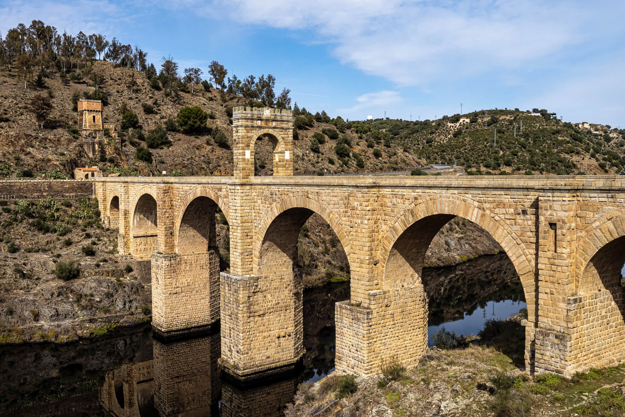
The Spanish Empire’s Royal Road of the Interior ran roughly 2,500 kilometers from Mexico City north to Santa Fe in New Mexico. For almost three centuries it carried silver south and settlers, soldiers and missionaries north.
UNESCO listed the Mexican section in 2010. Interstate 25 in New Mexico follows much of the northern stretch, which means truckers today are driving the spine of a colonial supply chain.
The Grand Trunk Road
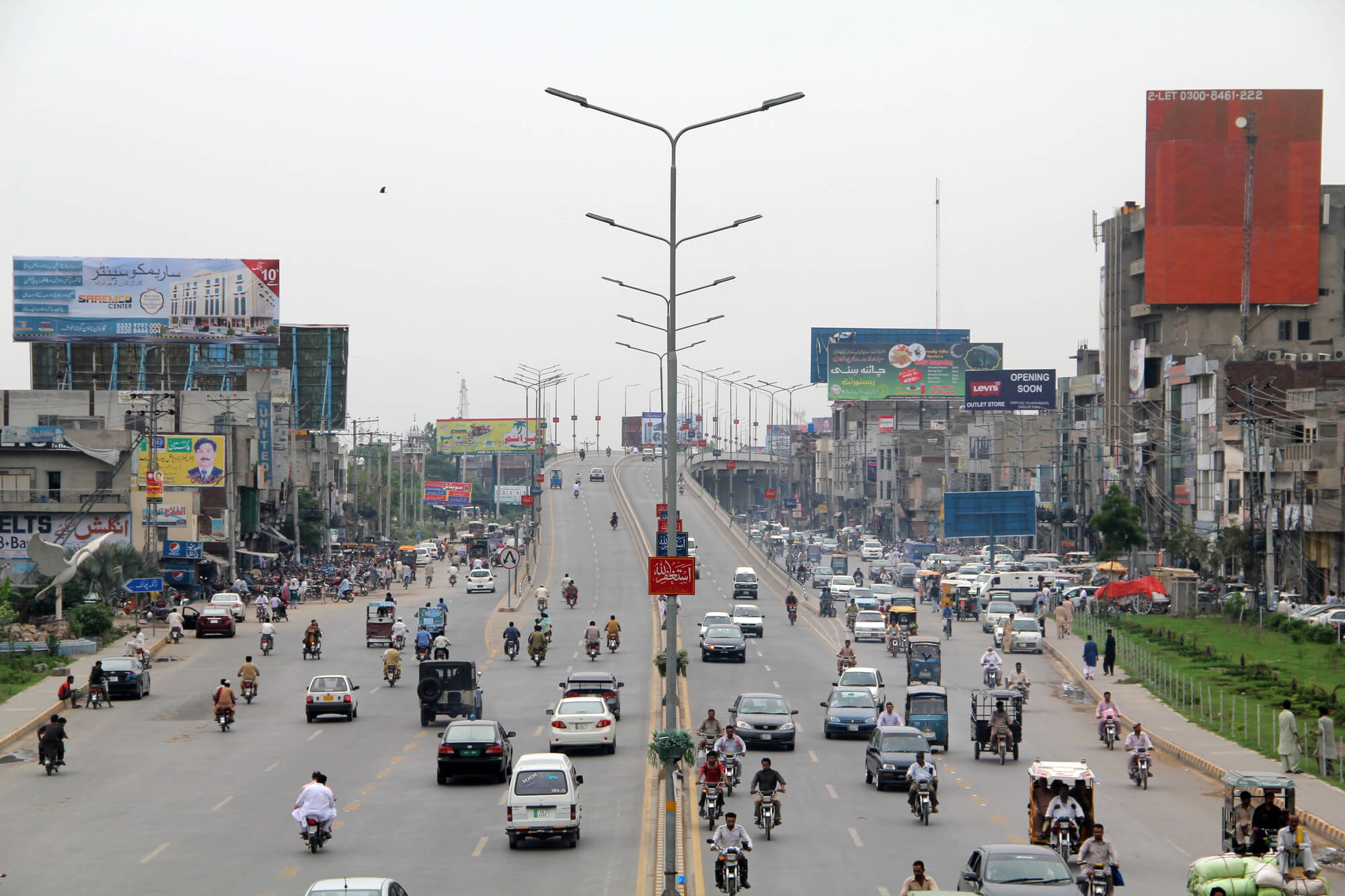
This road runs about 2,400 kilometers from Chittagong in Bangladesh to Kabul in Afghanistan, crossing India and Pakistan on the way. Its roots reach back to the Mauryan Empire, but it was Sher Shah Suri who rebuilt it in the sixteenth century with shade trees, wells and rest houses.
The Mughals and later the British upgraded it again. Today national highways across three countries follow its route, and it still carries some of the heaviest traffic in South Asia.
Hindustan-Tibet Road
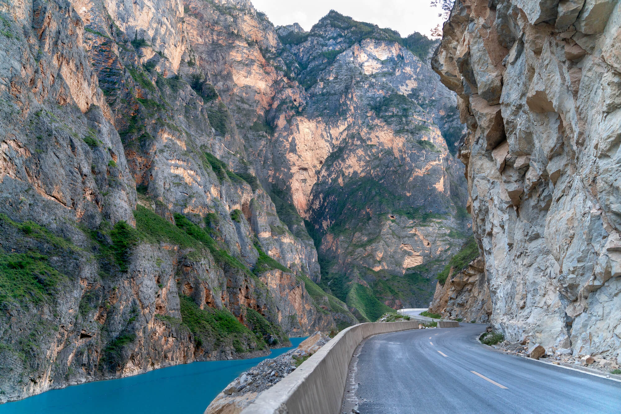
The British colonial government began this mountain road in 1850 under Governor-General Lord Dalhousie, cutting up from the plains toward the Tibetan border through Shimla. Workers blasted ledges into cliff faces above the Sutlej River.
The road became the basis of the modern highway through Kinnaur, one of the more nerve-testing drives in India. Buses squeeze past trucks on ledges barely wider than both, just as mule trains once squeezed past each other.
Tokaido Between Edo and Kyoto
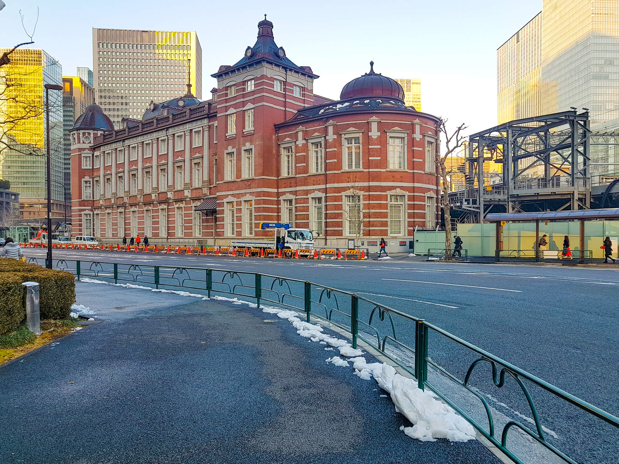
The Tokugawa shogunate formalized the Tokaido in the early seventeenth century as the main road between its capital at Edo and the imperial city of Kyoto. The route had 53 official post stations, later made famous by Hiroshige’s woodblock prints.
Japan’s Route 1 and the Tokaido Shinkansen follow the same coastal corridor. Some of the most valuable real estate in the country lines a road first organized for feudal lords traveling with their retinues.
Nakasendo Through the Kiso Valley
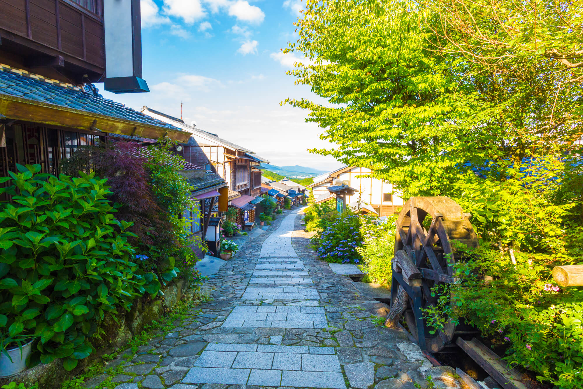
The inland partner to the Tokaido ran through the mountains with 69 post stations. Travelers who wanted to avoid dangerous river crossings on the coast often chose it instead.
The stretch between Magome and Tsumago in the Kiso Valley has been preserved with stone paving and wooden inns. Hikers walk it in a few hours today, and some villagers along the way still forward luggage between the two towns.
Mandarin Road Through Vietnam
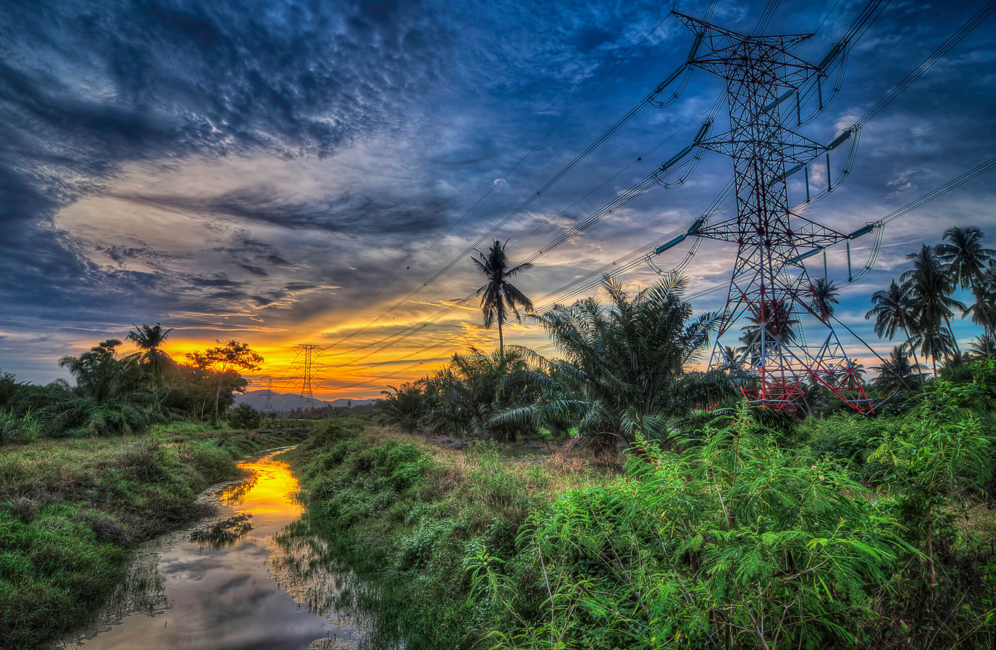
The Nguyen dynasty built up the Mandarin Road to link Hanoi, the imperial capital at Hue and the south. French colonial authorities later rebuilt it as Route Coloniale 1.
Today it is National Route 1, the main north-south highway in Vietnam. The same road that carried royal messengers now carries the motorcycles, buses and trucks that keep the coastal economy running.
Khmer Royal Road and Spean Praptos
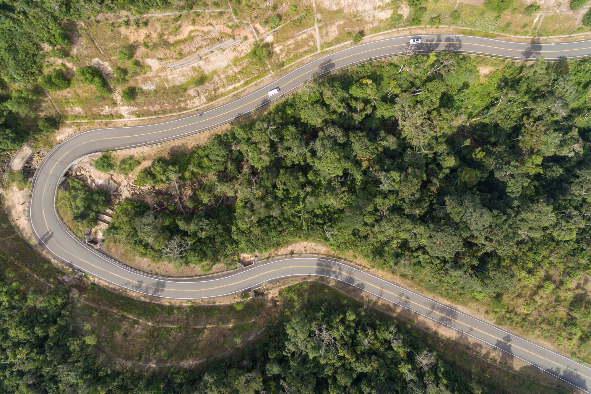
The Khmer Empire ran raised roads out from Angkor to its provincial centers, with rest houses and stone bridges along the way. Spean Praptos at Kampong Kdei, built in the twelfth century under Jayavarman VII, spans about 86 meters with more than twenty narrow corbelled arches.
It carried highway traffic on National Road 6 until the early 2000s. Locals still cross it on foot and by motorbike, and it appears on the Cambodian 5,000 riel note.
Simplon Pass Road
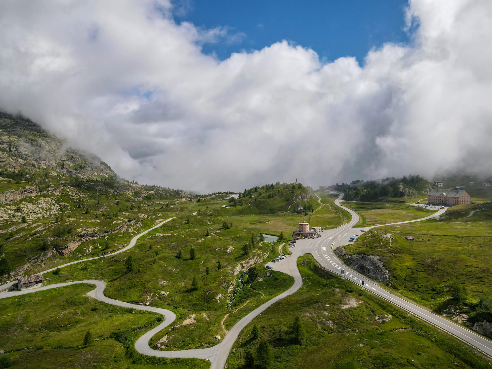
Napoleon ordered a carriage road over the Simplon Pass between Switzerland and Italy, and it was completed in 1805, shortly after he declared himself emperor. He wanted a route wide enough to move artillery across the Alps.
The modern Simplon road still follows much of that engineering. Truckers crossing between the Valais and Italy today are using a military project that outlived the empire by two centuries.
Stelvio Pass Road
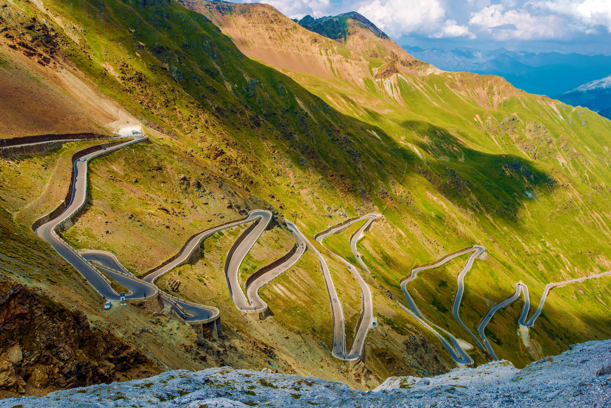
The Austrian Empire built this road between 1820 and 1825 to connect Lombardy with the rest of its territory. At 2,757 meters it is the highest paved pass in the Eastern Alps.
The northern side climbs through 48 numbered hairpin bends, each marked with a stone. It is now a pilgrimage for cyclists and a fixture of the Giro d’Italia, which is not what Habsburg planners had in mind.
Georgian Military Road
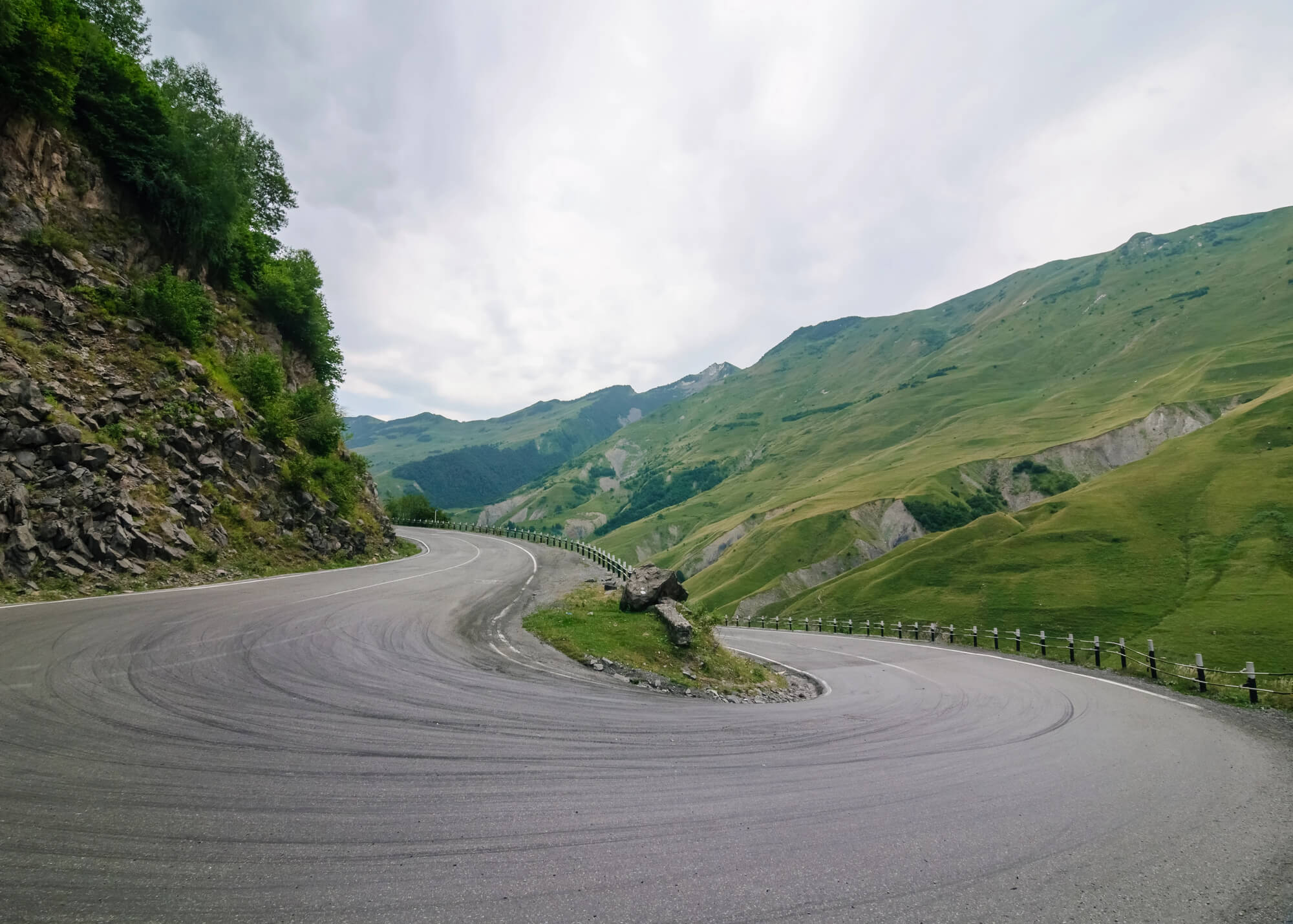
The Russian Empire spent decades from 1799 onward turning an old mountain trail into a proper road across the Caucasus between Tbilisi and Vladikavkaz. It crosses the Jvari Pass and threads the Darial Gorge.
The route is still the main road link between Georgia and Russia. Travelers stop at Gergeti Trinity Church above Stepantsminda, one of the most photographed views in the Caucasus.
Montagu Pass Near George
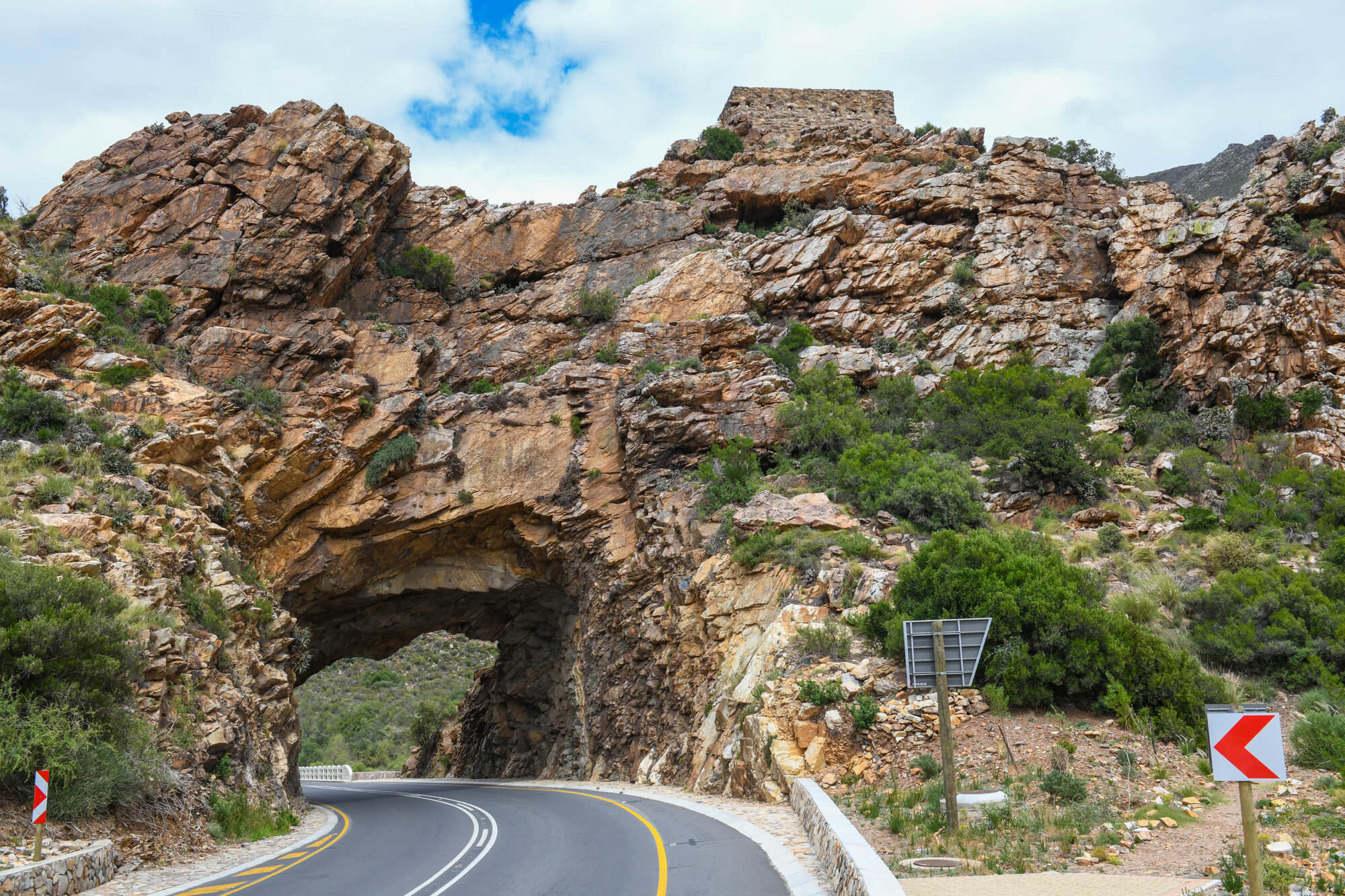
Around 250 convicts began building this pass over the Outeniqua Mountains in 1844, and it opened to traffic at the end of 1847 under engineer Henry Fancourt White. It cut a three-day wagon crossing on the old Cradock Pass down to about three hours.
The pass is still open as a gravel road between George and the Langkloof and lays claim to being the oldest unaltered pass in use in South Africa. The old tollhouse still stands on the way up, where drivers once paid a penny per wheel.
Bain’s Kloof Pass
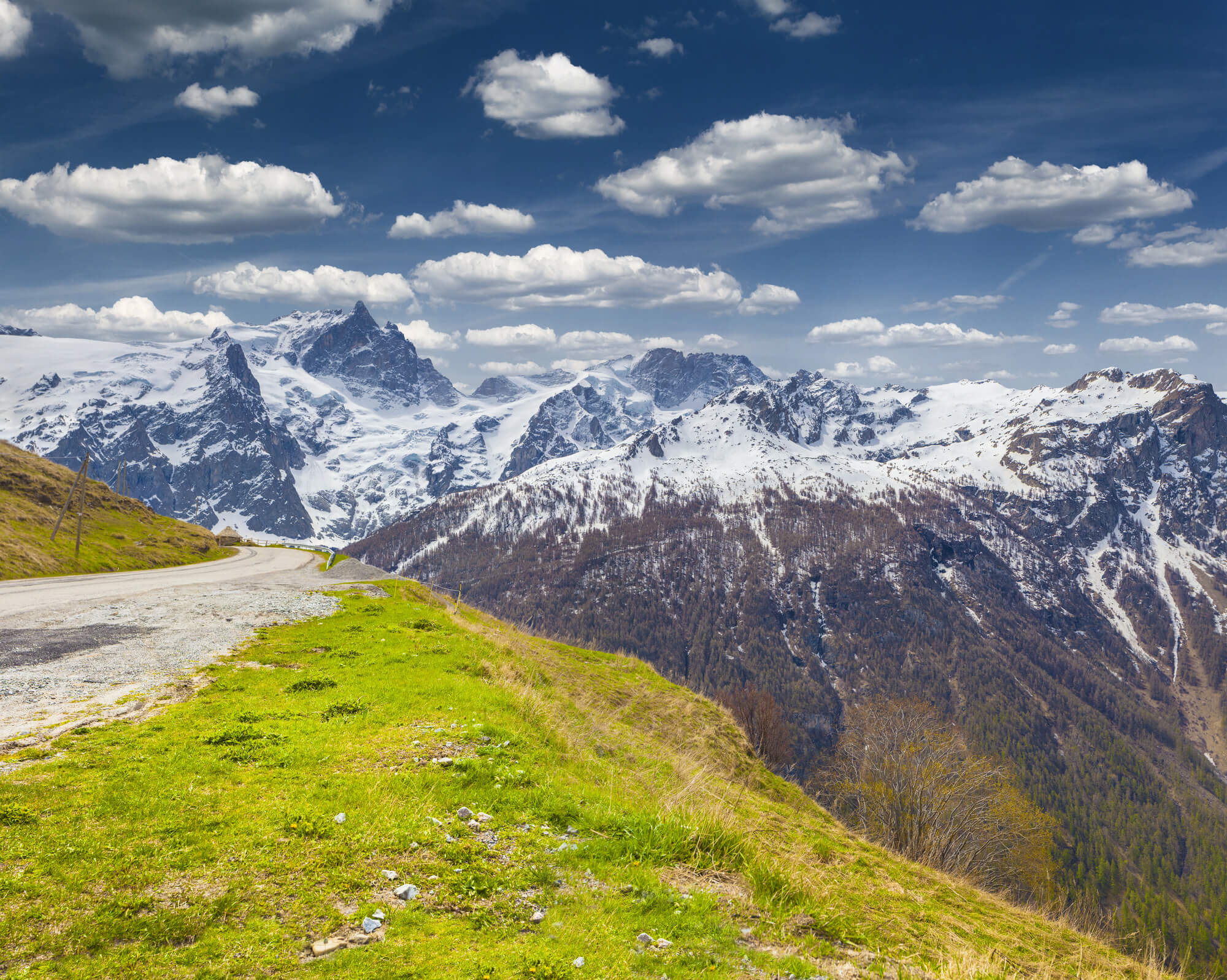
Andrew Geddes Bain built this pass through the mountains above Wellington in the Cape Colony, and it opened in 1853. Convict labor cut the road into the rock by hand.
It remains open as the R301, with tight bends, low stone walls and sheer drops into the gorge below. A road built to haul produce out of the interior is now mostly driven by people who want a slower, more scenic way over the mountains.
The Road Outlasts the Ruler
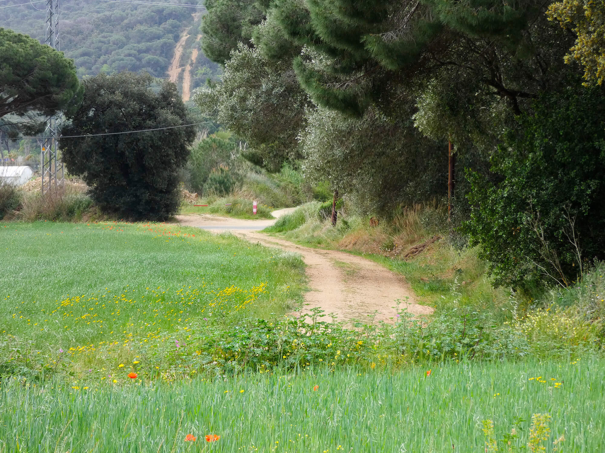
Every empire on this list is gone, yet its surveyors are still quietly directing traffic. The reason is not sentiment.
A route that follows a good gradient, avoids a swamp or crosses a river at the narrowest point was simply the right answer, and nobody since has found a better one. That is the uncomfortable lesson in these roads.
Palaces get looted and statues get pulled down, but infrastructure keeps working for whoever holds power next. The most lasting thing any ruler leaves behind is usually the most boring one, a strip of level ground that gets you where you are going.
More from Go2Tutors!

- The Romanov Crown Jewels and Their Tragic Fate
- 13 Historical Mysteries That Science Still Can’t Solve
- Famous Hoaxes That Fooled the World for Years
- 15 Child Stars with Tragic Adult Lives
- 16 Famous Jewelry Pieces in History
Like Go2Tutors’s content? Follow us on MSN.