32 Places Named After Hell and the Devil
Early mapmakers had a habit of naming the worst terrain after the worst neighbor they could imagine. Scalding springs, killer rapids, jagged rock, and pools that seemed to have no bottom all ended up with the devil’s name attached.
Some towns got there by accident, through a bad translation or an old word that meant something else entirely. The results are scattered across every inhabited continent.
A few are genuinely dangerous, a few are simply unlucky in their vocabulary, and several have turned the name into a tidy tourism business.
A Michigan Crossroads Called Hell
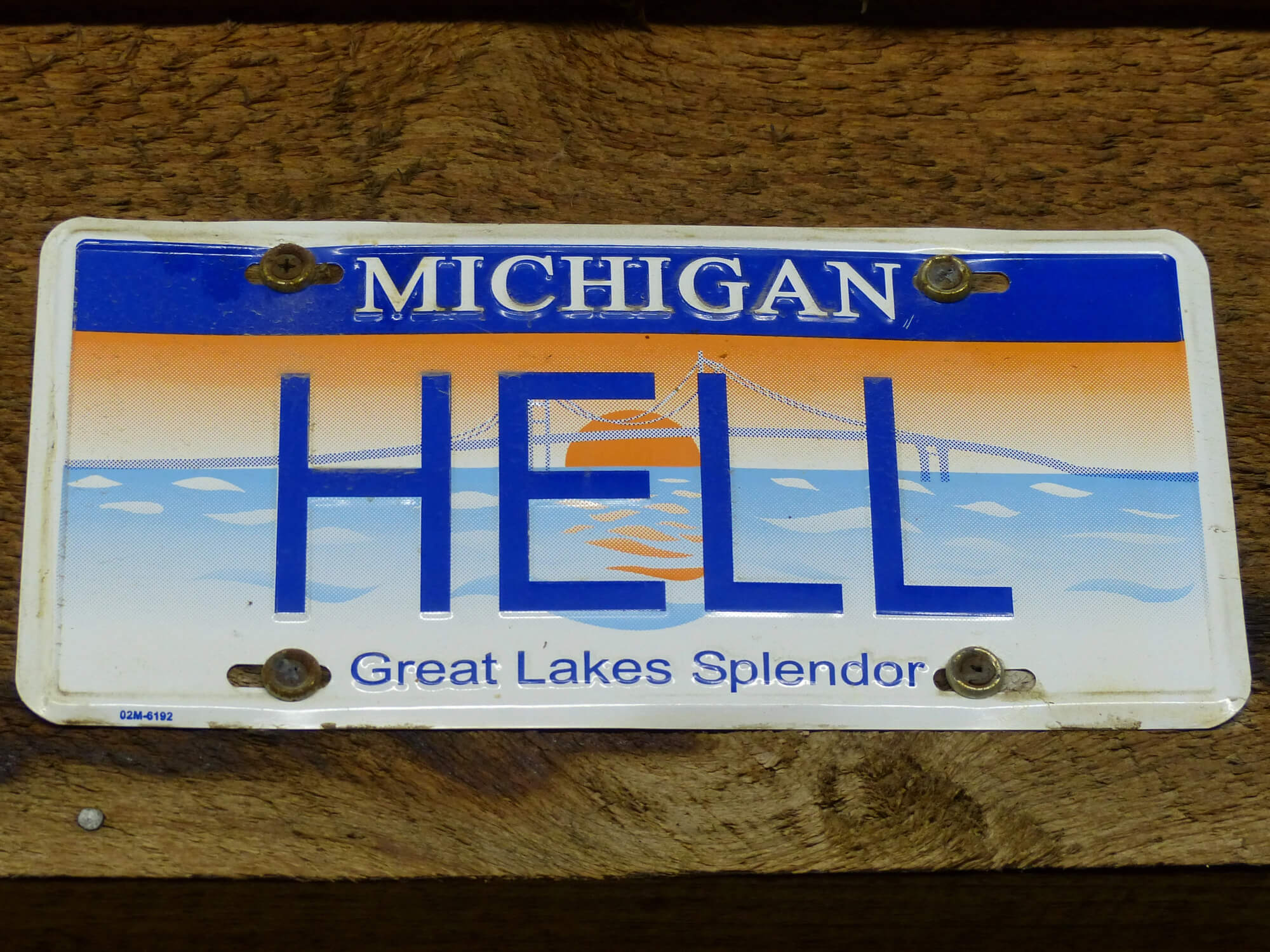
Hell, Michigan, is an unincorporated crossroads in Livingston County, a short drive northwest of Ann Arbor, and nobody agrees on how it got its name. One story credits settler George Reeves, who supposedly told state officials they could call the place Hell for all he cared.
Another blames German travelers who described the sunny spot with their word for bright, which happens to be hell. The community leans hard into the joke.
Visitors mail postcards from Hell, couples hold weddings there, and every hard winter brings a fresh round of headlines announcing that Hell has frozen over.
Norway’s Village of Hell and Its Railway Sign
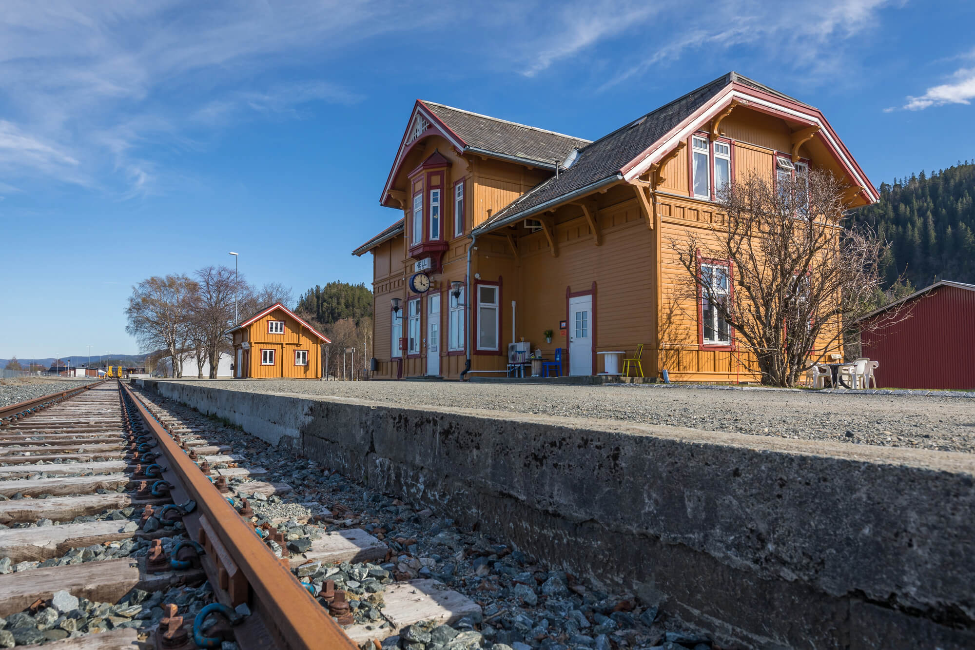
A village in Stjordal municipality next to Trondheim Airport carries the name Hell, and it has nothing to do with damnation. It comes from the Old Norse word hellir, meaning an overhang or cave in a cliff, and in modern Norwegian the word hell actually means luck.
The local railway station became a photo stop thanks to an old sign reading Hell Gods-expedisjon, which simply marked the freight office. English speakers read it as something far more sinister.
The village also hosts an annual blues festival, which gives visitors one more excuse to buy a shirt that says Hell on it.
Scorched Black Rock in Grand Cayman
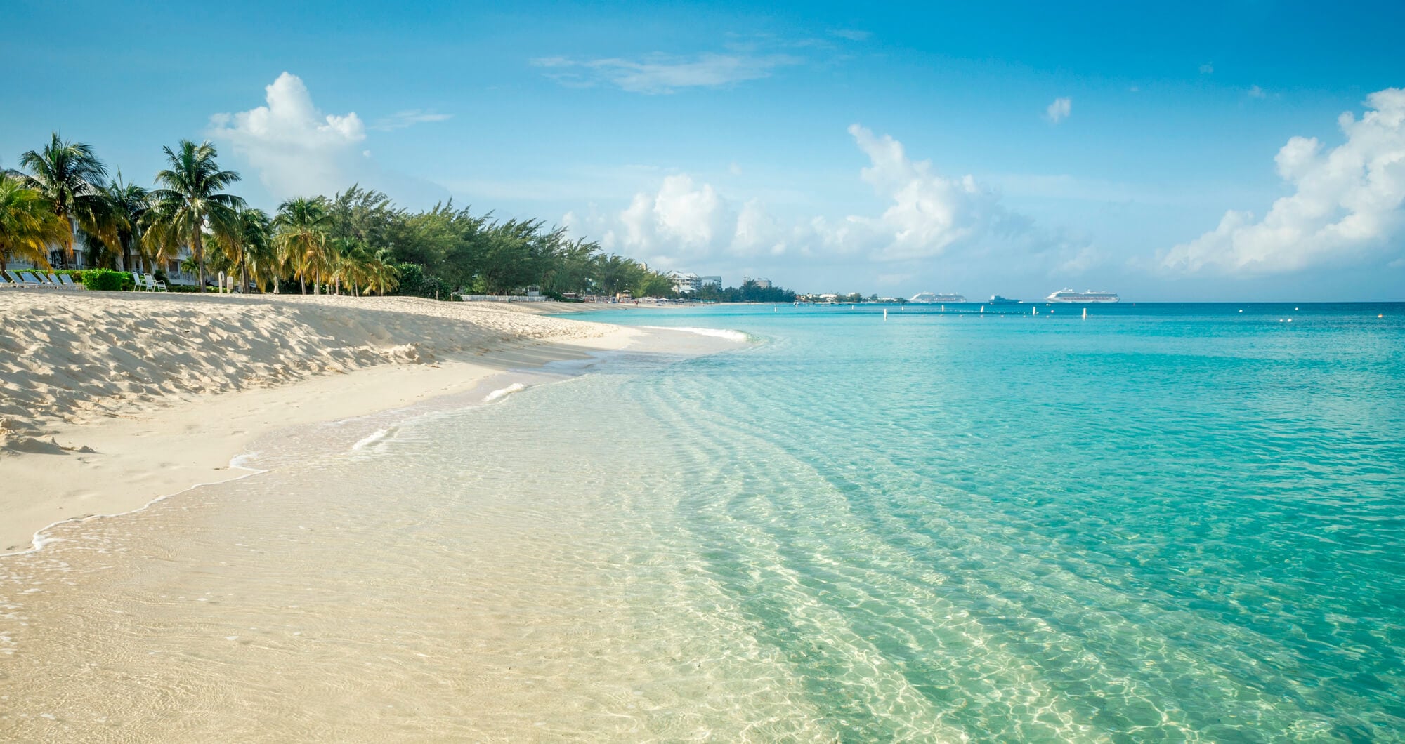
In the West Bay district of Grand Cayman, a patch of jagged black limestone looks as if it had been burned by something unholy. Geologists call the formation phytokarst, rock eaten into sharp spires by algae and fungi and darkened over centuries.
Local legend says the name came when a visiting British official fired at a bird, missed, and cursed loudly enough to name the place. The site now has a tiny post office where visitors send cards stamped from Hell, along with a gift shop built around devil puns.
A viewing platform keeps feet off the fragile rock.
Hells Canyon, Deeper Than the Grand Canyon
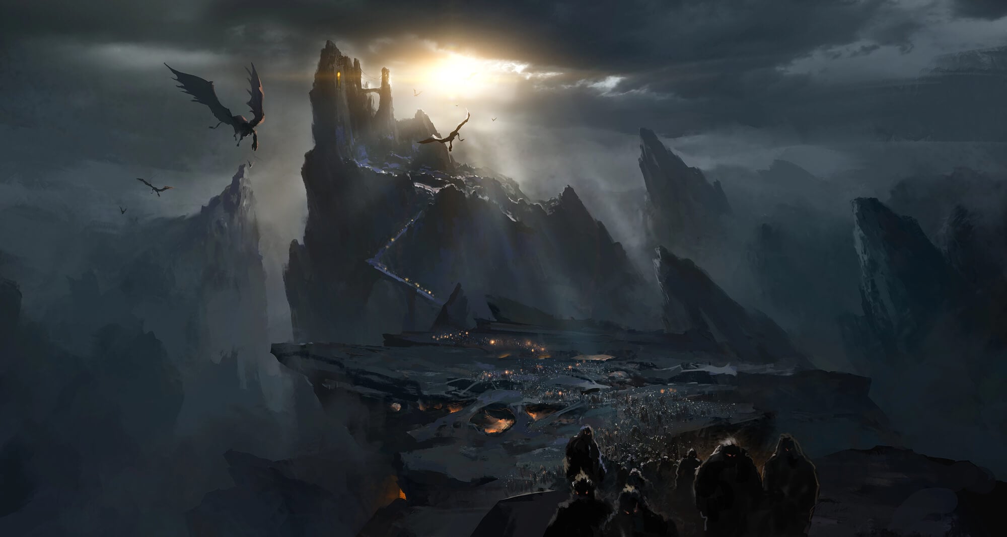
Hells Canyon, carved by the Snake River along the Idaho and Oregon border, is the deepest river gorge in North America. From the summit of He Devil Mountain in the Seven Devils range down to the river, the drop measures 7,993 feet, beating the Grand Canyon by a comfortable margin.
The name reflects how brutal early travelers found the terrain. Jet boats now run its rapids, and the Hells Canyon National Recreation Area protects more than 650,000 acres.
Large stretches of the canyon remain reachable only by river, trail, or a very long drive on gravel.
Manhattan’s Hell’s Kitchen
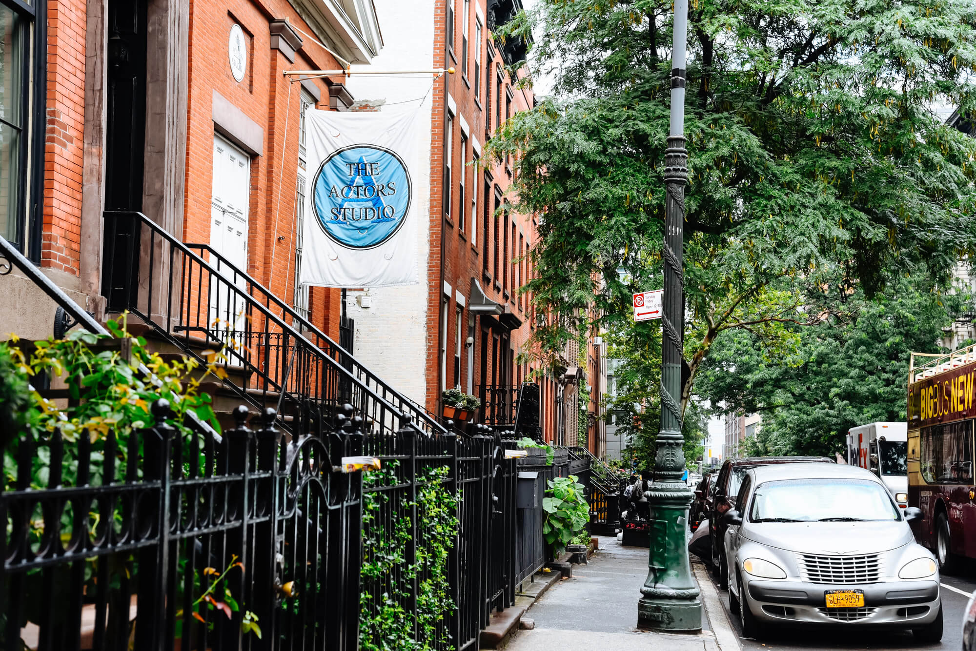
Running roughly from 34th Street to 59th Street west of Eighth Avenue, Hell’s Kitchen earned its name when it was a tangle of tenements, slaughterhouses, and street gangs in the 1800s. Nobody can pin down who said it first.
A popular story involves a veteran police officer who heard a rookie call a riot hell itself and replied that hell was a mild climate compared to this place. Civic boosters later pushed Clinton as a friendlier name.
It never fully took, and the neighborhood now wears the old label on bars, theaters, and street festivals.
Towering Cliffs of Hell’s Gate in Kenya
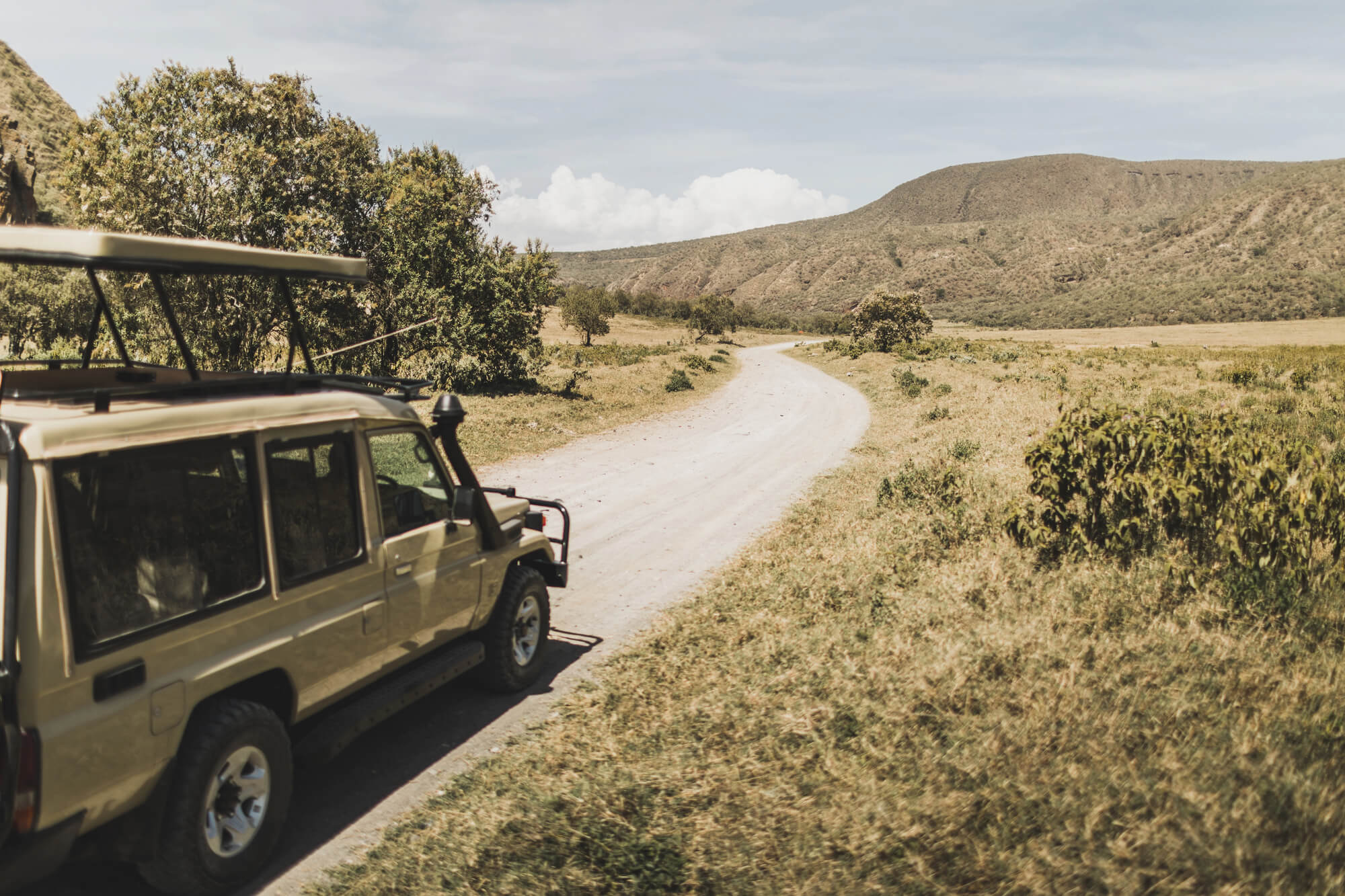
Hell’s Gate National Park lies south of Lake Naivasha in Kenya’s Rift Valley, and it is one of the rare Kenyan parks where visitors can walk or cycle among zebra and giraffe. The name comes from a narrow break in the cliffs that once carried the outflow of an ancient lake.
Geothermal activity still sends up steam across the area, and the nearby Olkaria power stations turn that heat into electricity. A volcanic plug called Fischer’s Tower rises straight out of the valley floor.
Many visitors say the gorges look remarkably like the scenery of The Lion King.
Rotorua’s Steaming Hell’s Gate
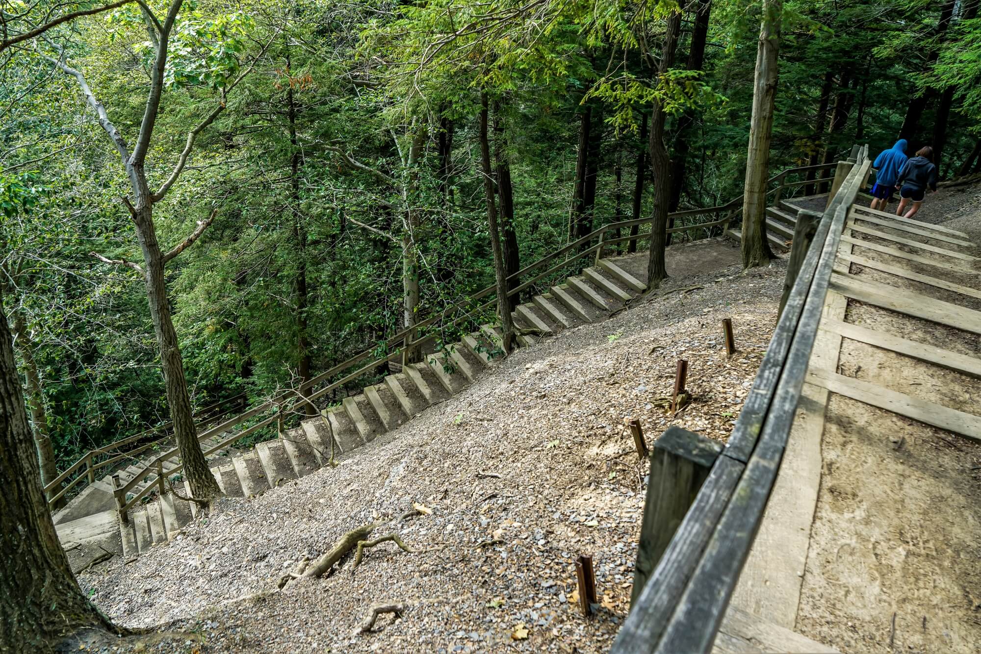
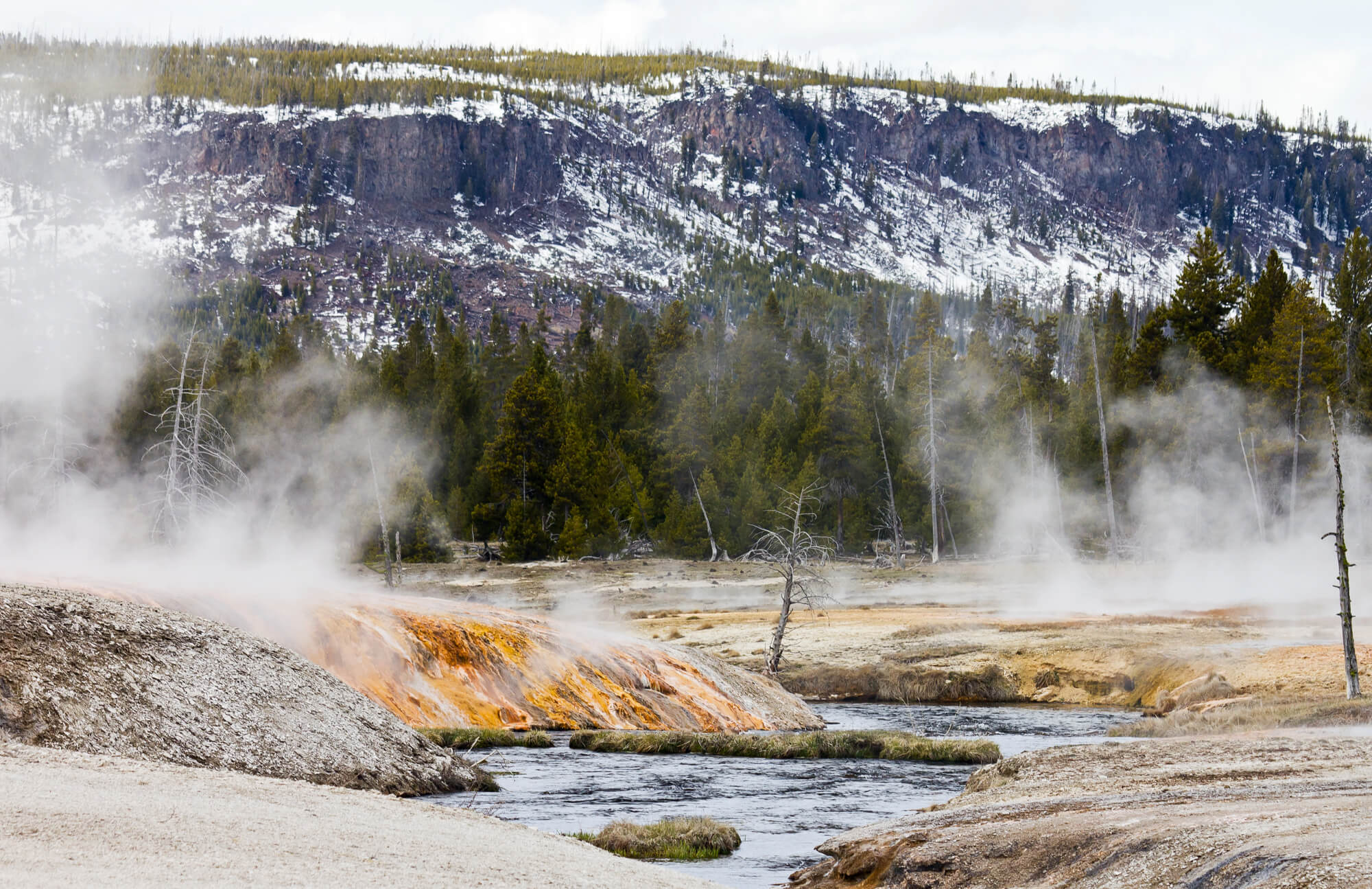
Known in Maori as Tikitere, Hell’s Gate is a geothermal reserve near Rotorua on New Zealand’s North Island. Its English name is usually credited to the playwright George Bernard Shaw, who visited in 1934 and reportedly said the hissing, bubbling ground looked like the entrance to hell.
The park holds boiling mud pools and Kakahi Falls, promoted as the largest hot waterfall in the Southern Hemisphere. Mud baths and sulfur spas operate on site.
The smell of rotten eggs reaches the parking lot long before anyone reaches the entrance sign.
Where the Fraser River Squeezes Through Hell’s Gate
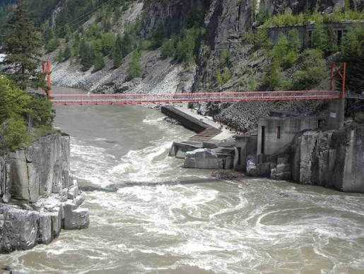
On British Columbia’s Fraser River, Hell’s Gate is a narrow gorge where the rock walls pinch to about 35 meters and the water races through with tremendous force. Explorer Simon Fraser came through in 1808 and wrote that no human being should venture into such a place, a line later boiled down into the name.
Railway construction in 1914 triggered a rockslide that choked the channel and devastated salmon runs for decades. Fishways built in the 1940s finally helped the fish get past.
Today an aerial tram carries visitors down across the churning water.
Turkmenistan’s Door to Hell
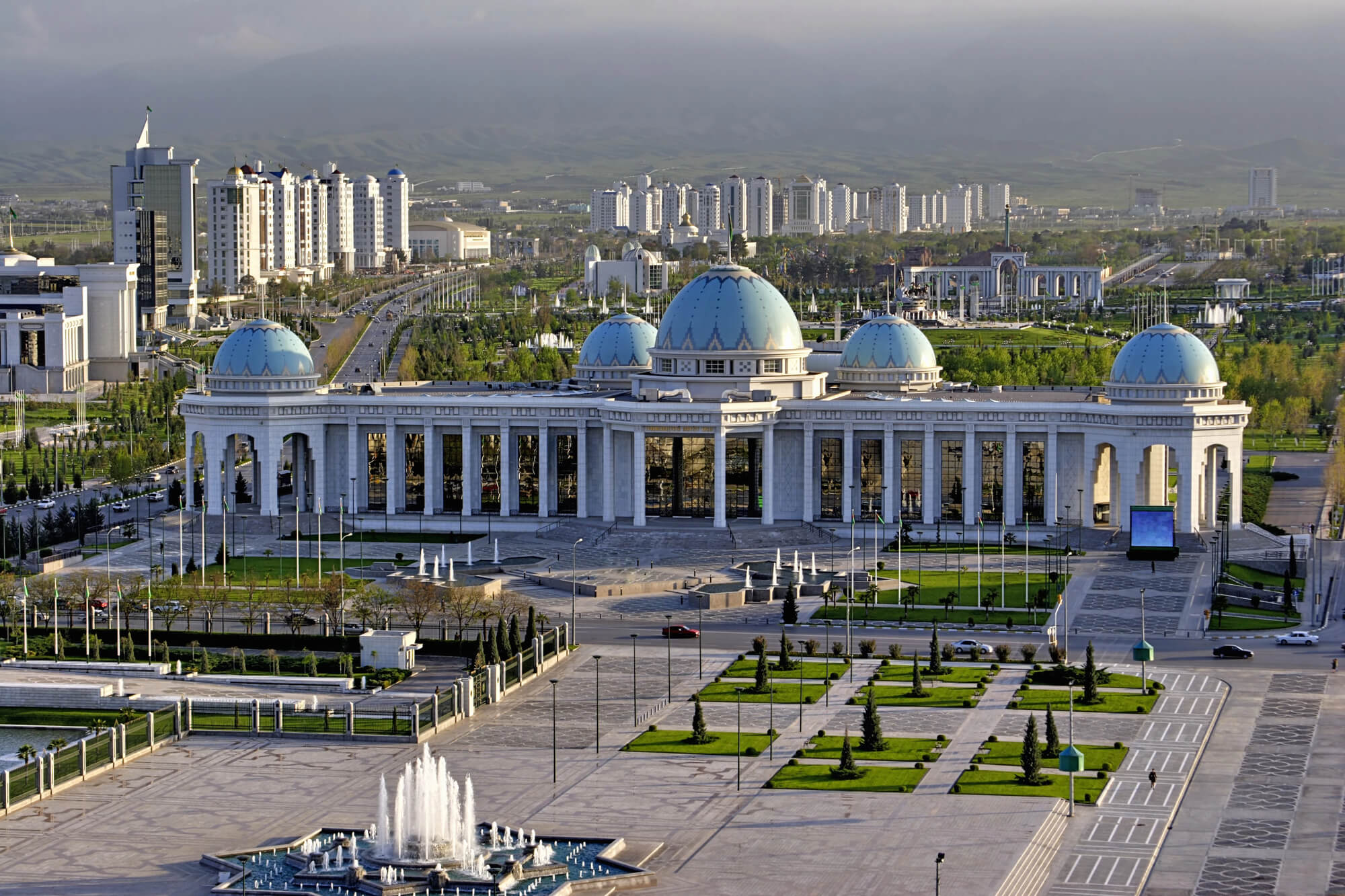
Turkmenistan’s Darvaza gas crater, out in the Karakum Desert, has burned since 1971, when a Soviet drilling operation punctured an underground gas cavern and the ground gave way. Engineers are said to have lit the escaping gas, expecting it to burn off within weeks.
It kept going for more than half a century. The crater, officially renamed the Shining of Karakum in 2018, became the country’s top tourist draw.
New wells drilled nearby to divert the gas have shrunk the fire sharply since 2025, and recent visitors report only a few scattered pockets of flame.
Devils Tower and a Translation Gone Wrong
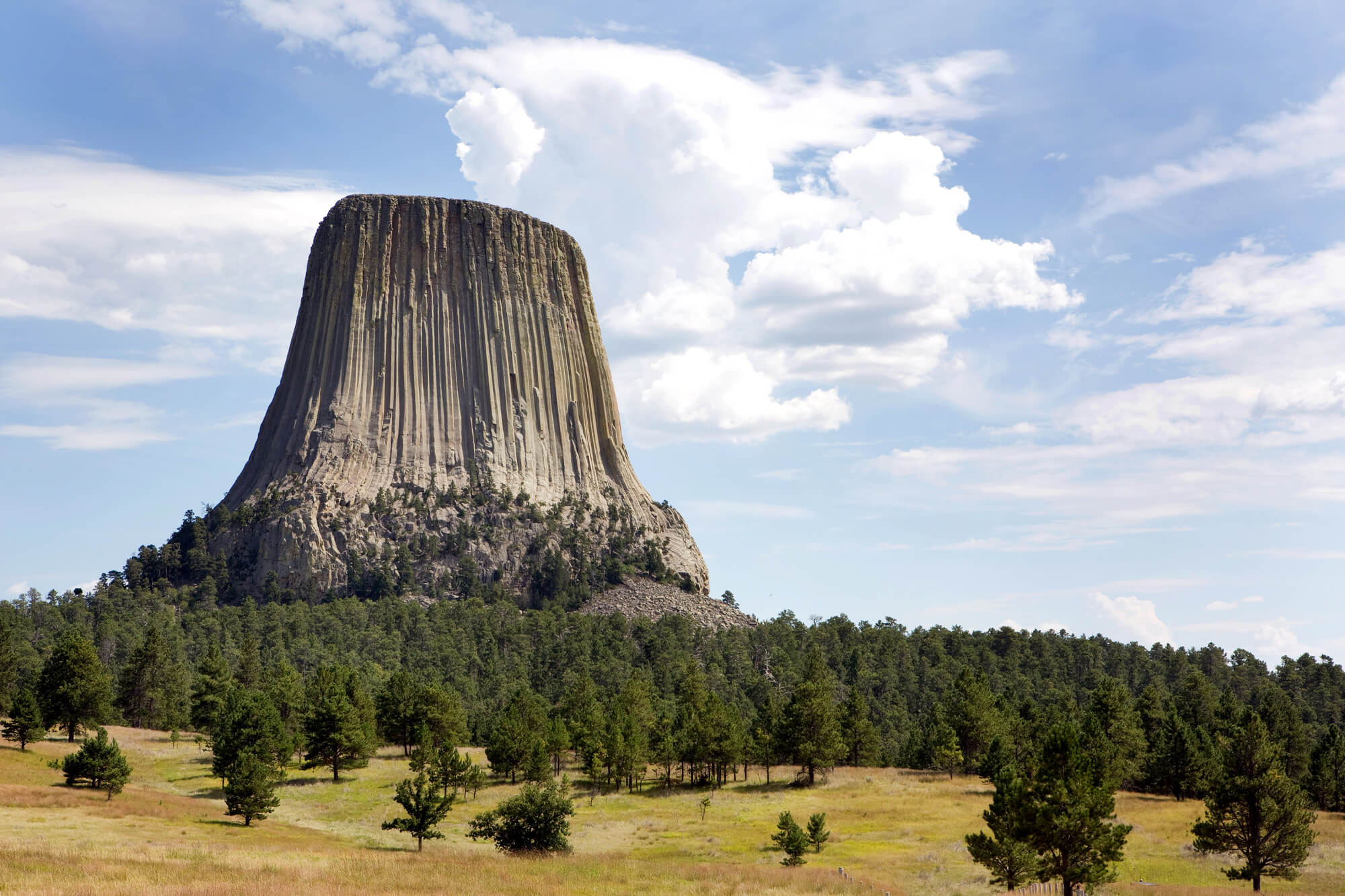
Devils Tower in northeastern Wyoming became the first national monument in the United States when Theodore Roosevelt designated it in 1906. The rock column rises 867 feet above its base, and many Plains nations know it by names such as Bear Lodge.
The devil name dates to an 1875 military expedition, when an interpreter reportedly rendered a local name as Bad God’s Tower, which was later shortened. Film fans know it from Close Encounters of the Third Kind.
Official federal usage drops the apostrophe, a quirk of national naming rules.
Three Bridges Stacked at Pontarfynach
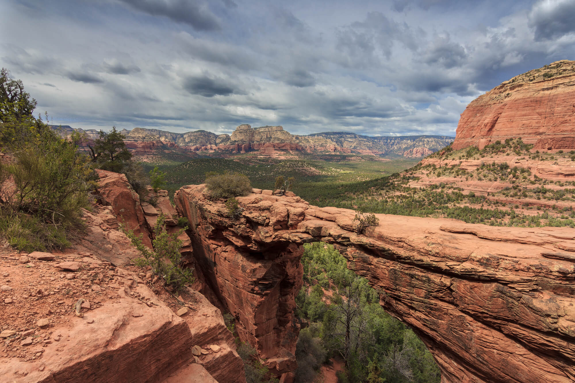
Pontarfynach, known in English as Devil’s Bridge, crosses the Mynach gorge in Ceredigion, Wales, and it is really three bridges built one on top of another. The lowest is medieval and often credited to monks from nearby Strata Florida Abbey, a stone arch went over it in 1753, and an iron bridge topped both in 1901.
Legend says the devil built the first one in exchange for the soul of the first creature to cross, and a clever old woman sent her dog over instead. A heritage steam railway climbs up to the village from Aberystwyth.
Saxony’s Perfect Circle at Rakotzbruecke
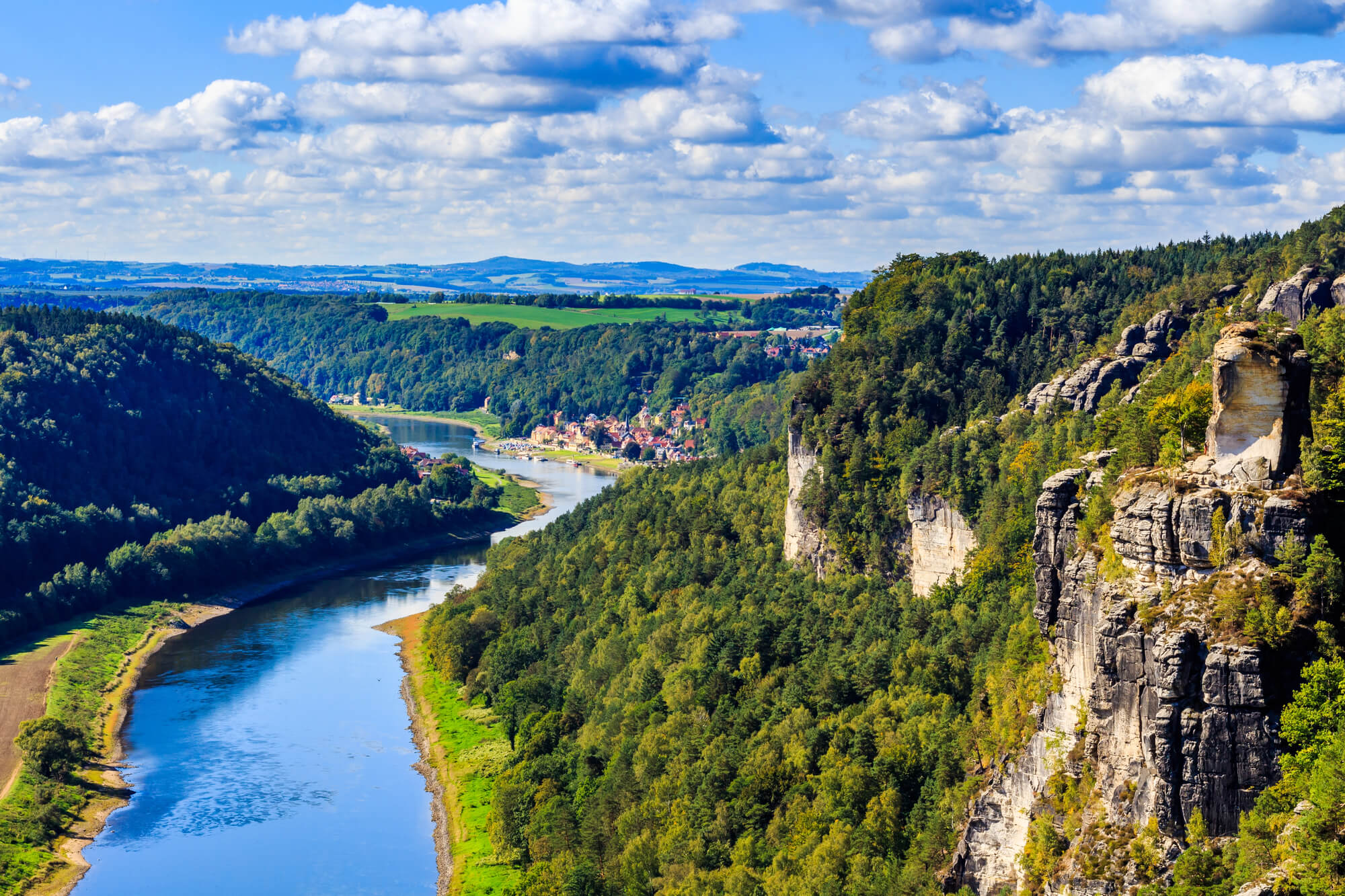
Kromlau Park in the German state of Saxony holds the Rakotzbruecke, a thin stone arch built in the 1860s over a small lake. When the water is still, the bridge and its reflection form a near-perfect circle.
Local lore holds that only the devil could have built something so precise, which explains its nickname, the Devil’s Bridge. Walking across it has been forbidden for years to protect the structure, which has been through a lengthy restoration.
Photographers arrive at dawn in spring and autumn, when rhododendrons or colored leaves frame the arch.
Sitting on the Brink in Devil’s Pool
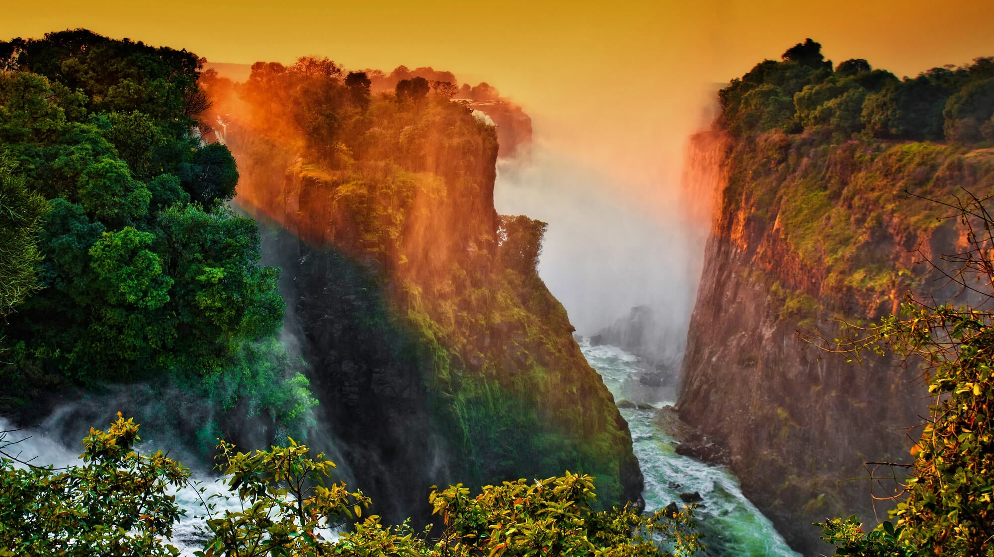
Right on the lip of Victoria Falls, Devil’s Pool is a natural rock basin reached from Livingstone Island on the Zambian side of the Zambezi. When the river runs low, roughly from mid-August into January, a submerged rock ledge holds back the current enough for guided swimmers to sit at the brink of a drop of about 100 meters.
Guides hold ankles while visitors lean out for photographs. Access is only through licensed operators, and trips stop as soon as water levels rise.
Few swims anywhere come with a view straight down a waterfall.
Karlu Karlu, Once Called the Devil’s Marbles
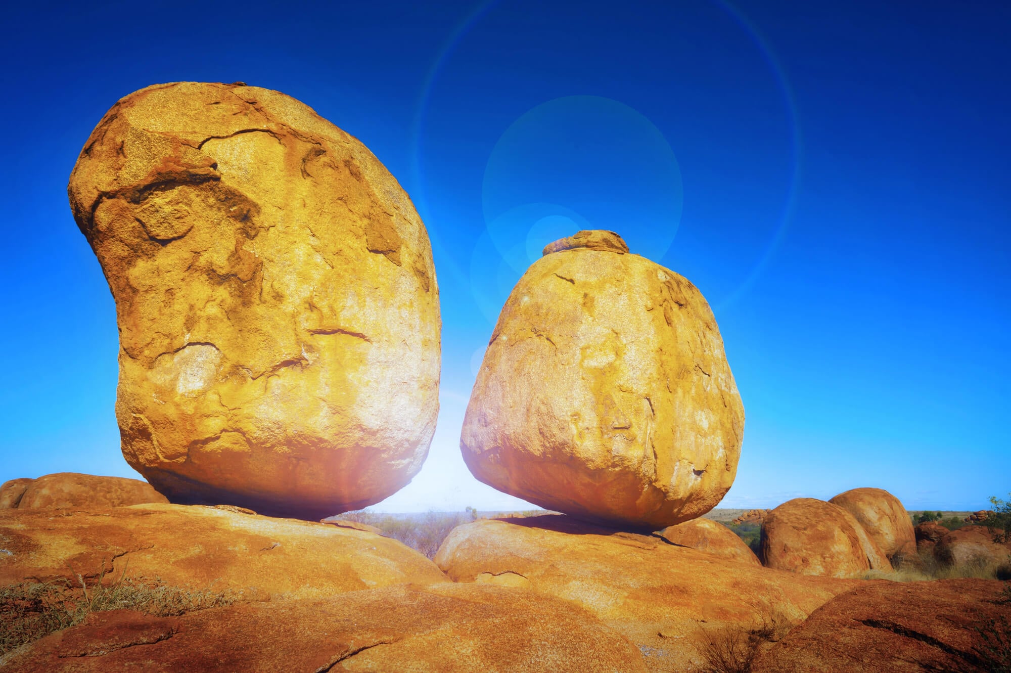
Giant granite boulders known as the Devils Marbles, or by their Aboriginal name Karlu Karlu, lie scattered across a valley south of Tennant Creek in Australia’s Northern Territory. Many sit balanced on top of one another after millions of years of weathering, looking ready to roll at the slightest push.
The site is sacred to its traditional owners, and the land was handed back to them in 2008, with the Aboriginal name placed alongside the English one. Some boulders split in two as the rock heats and cools.
Sunset turns the granite a deep rust orange.
Death Valley’s Devil’s Golf Course
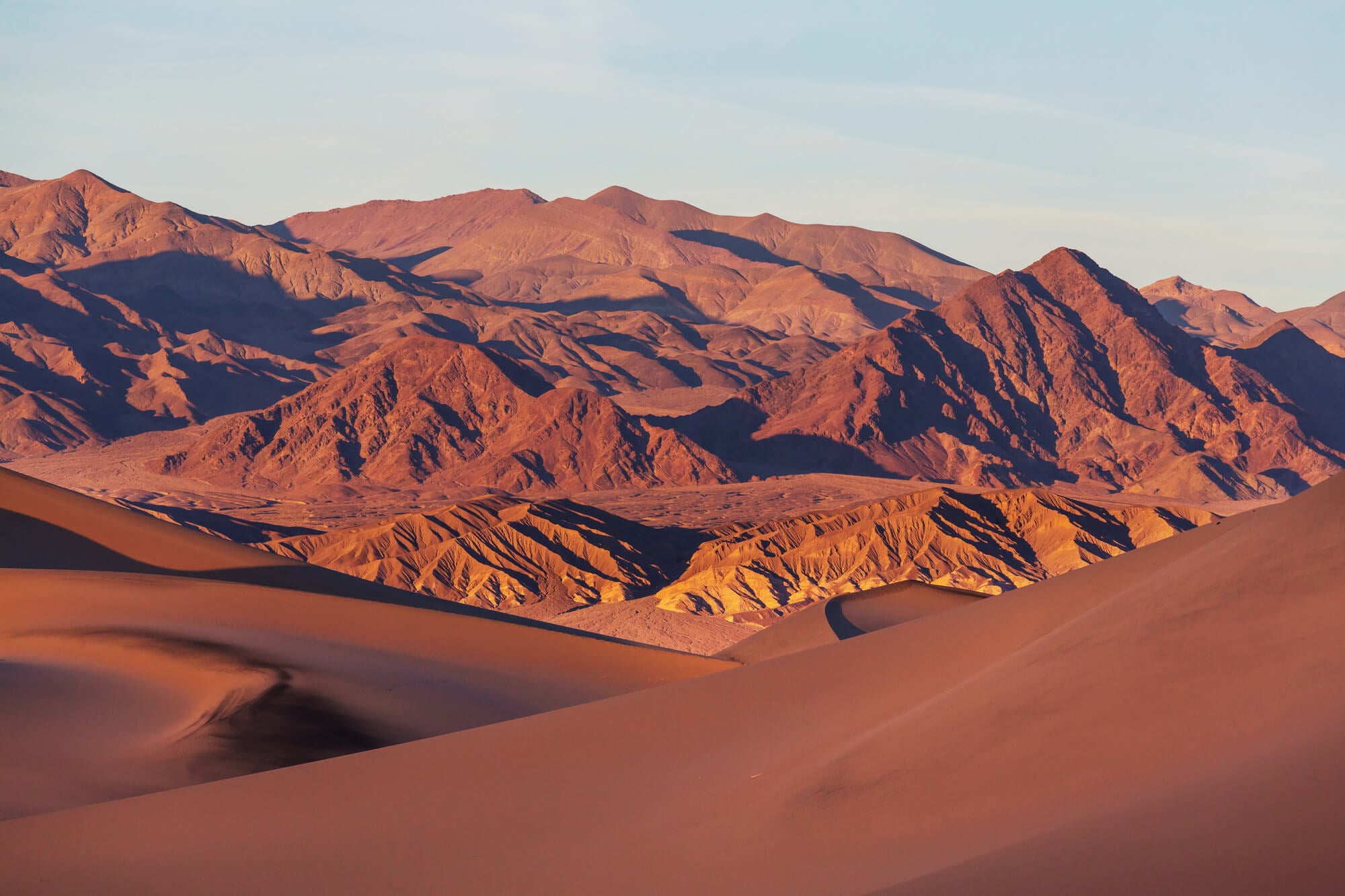
The Devil’s Golf Course in California’s Death Valley National Park is a vast field of salt crystals weathered into sharp, knobby ridges. A 1934 National Park Service guidebook claimed that only the devil could play golf on such a surface, and the name stuck.
The formations are rock salt left behind by an ancient lake, and they are still growing. On calm days, rangers say the salt makes faint pinging and cracking sounds as crystals expand and contract in the heat.
The crust is sharp enough to slice through shoes and skin alike.
Minnesota’s Vanishing Devil’s Kettle
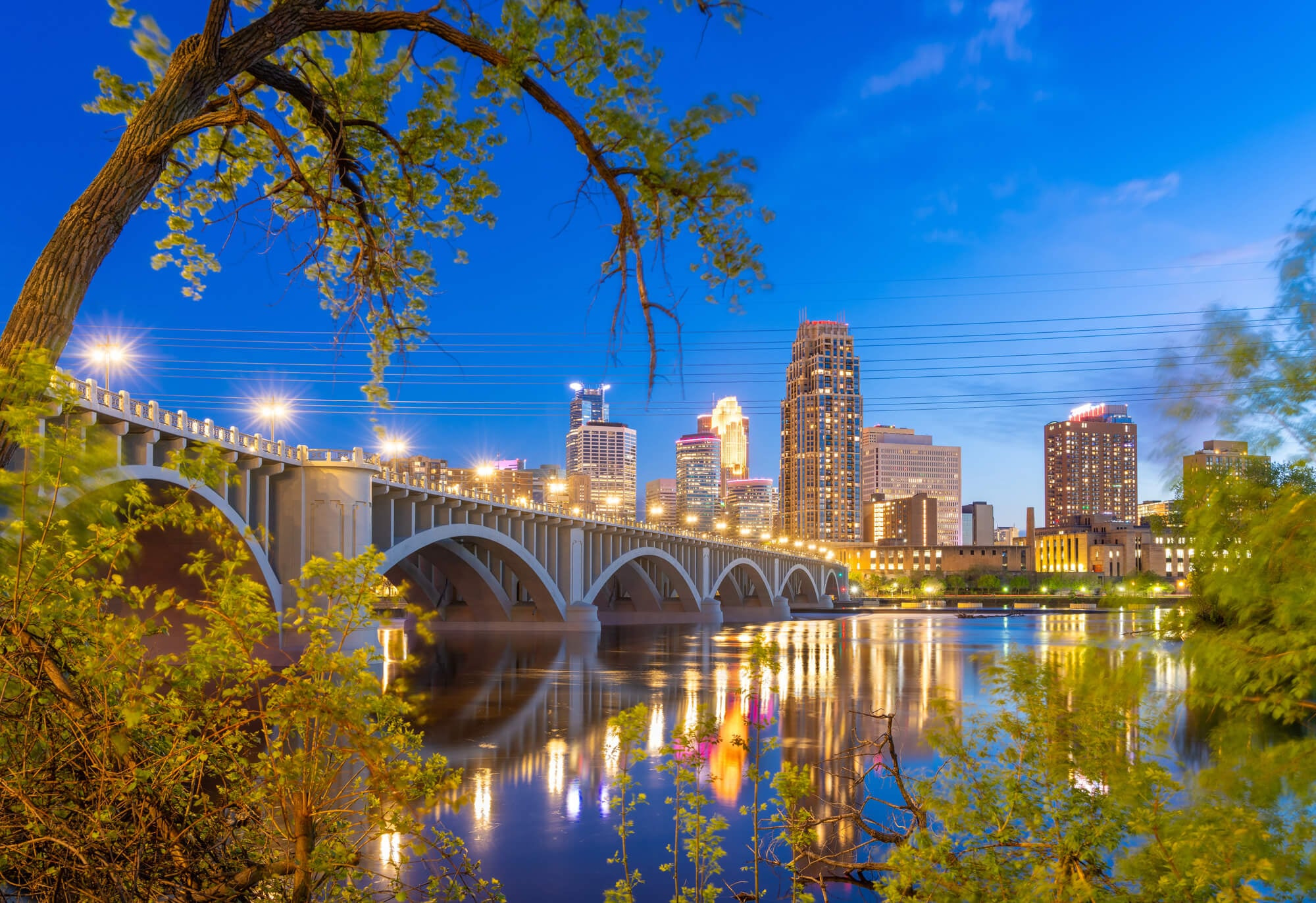
At Judge C.R. Magney State Park on Minnesota’s North Shore, the Brule River splits around a rock outcrop. Half the water tumbles down a normal waterfall, and the other half plunges into a round cavity called the Devil’s Kettle and appears to vanish.
For decades people dropped sticks, dye, and other markers into it and never saw them again, which fed theories about a secret underground river. In 2017, hydrologists measured the flow above and below the falls and found the volumes matched.
The water almost certainly rejoins the river a short way downstream.
Six-Sided Columns of Devil’s Postpile
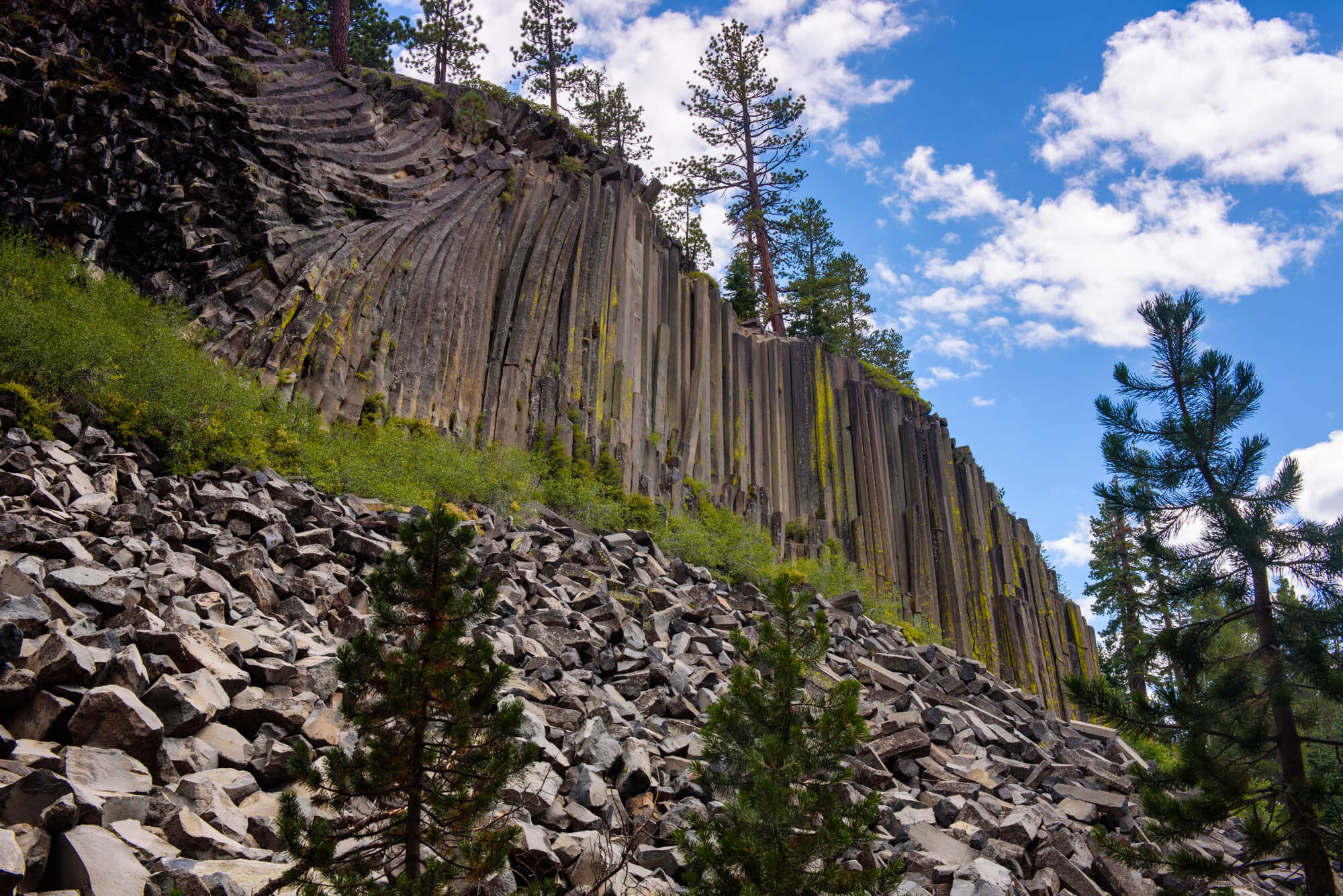
Devil’s Postpile National Monument near Mammoth Lakes, California, protects a cliff of columnar basalt that looks almost machine-cut. The columns formed less than 100,000 years ago when a lava flow cooled and cracked into mostly six-sided pillars, some reaching about 60 feet tall.
Glaciers later polished the tops, and from above they resemble a tiled floor. The formation nearly became rubble in the early 1900s, when mining interests proposed blasting it to build a dam.
President William Howard Taft protected it as a national monument in 1911.
Gettysburg’s Devil’s Den
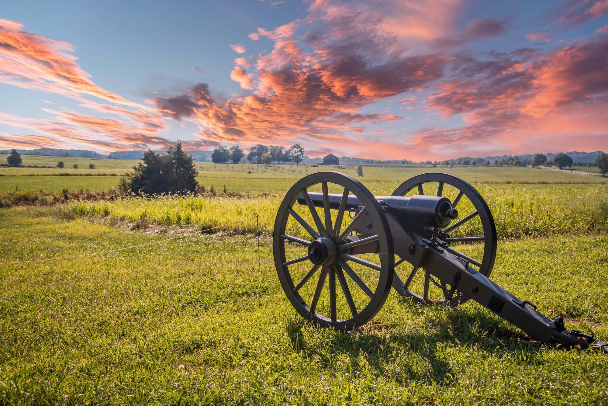
Devil’s Den is a jumble of huge granite boulders at the southern end of the Gettysburg battlefield in Pennsylvania, fought over fiercely on July 2, 1863. Confederate sharpshooters used the rocks as cover to fire at Union troops on Little Round Top.
After the battle, photographer Alexander Gardner made one of the war’s most famous images, a dead soldier behind a stone wall labeled as a rebel sharpshooter. Historians later showed that Gardner had moved the body roughly 40 yards to compose the scene.
The name itself predates the battle and came from local lore.
Garganta del Diablo at Iguazu Falls
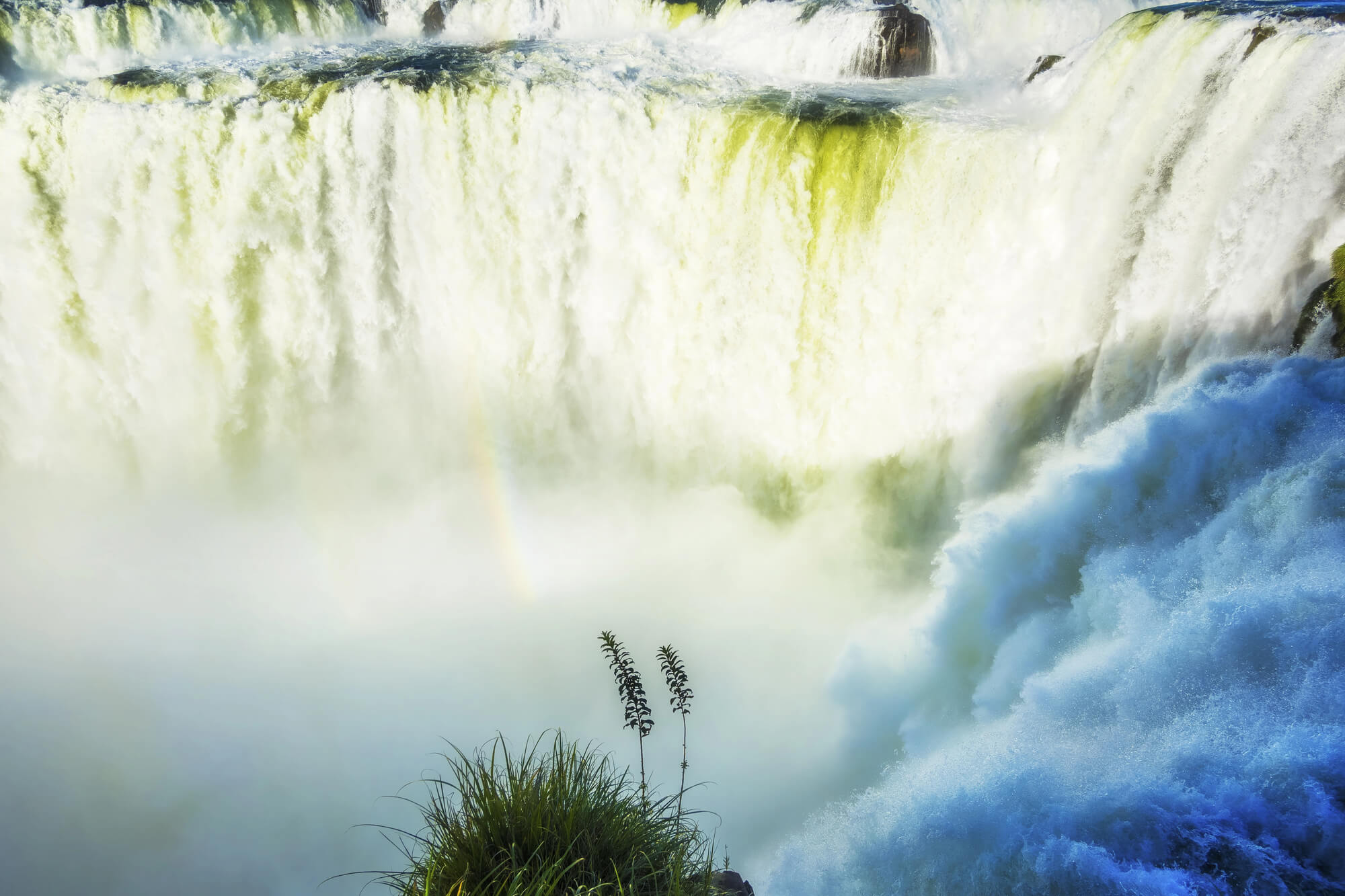
The Devil’s Throat, or Garganta del Diablo, is the tallest and most powerful section of Iguazu Falls on the border between Argentina and Brazil. The U-shaped chasm drops about 80 meters and stretches roughly 700 meters long, swallowing a large share of the Iguazu River’s flow.
Catwalks on the Argentine side lead right to the rim, where the spray rises so high that it usually hides the bottom. Visitors come away soaked regardless of what they wear.
The roar arrives well before the water comes into view.
French Guiana’s Devil’s Island Penal Colony
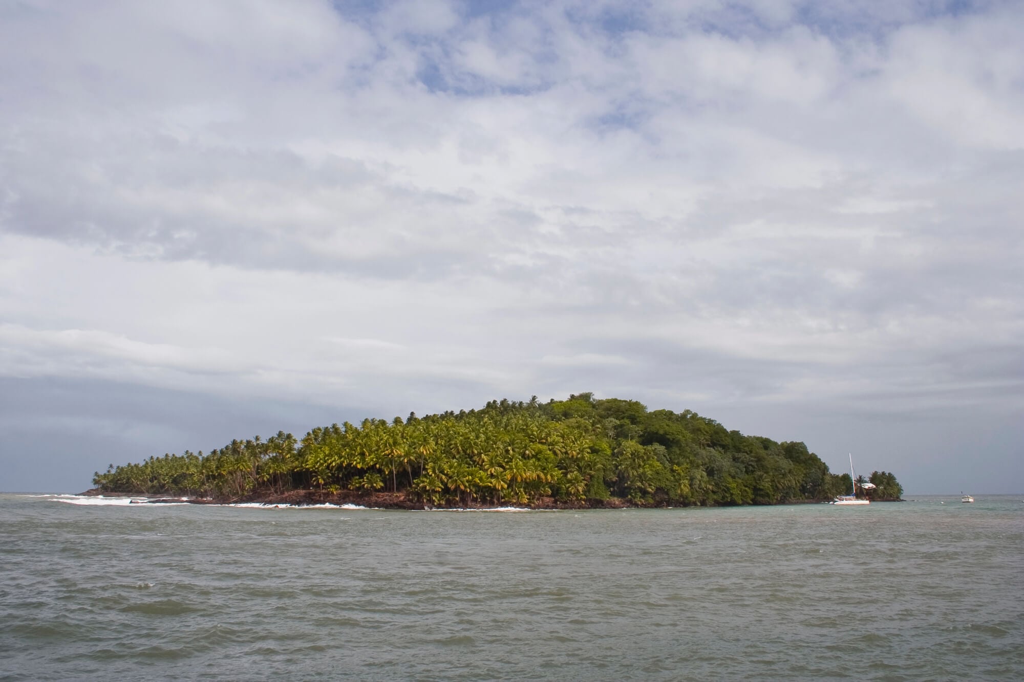
Off the coast of French Guiana, Devil’s Island is the smallest of the Iles du Salut, and its name became shorthand for the brutal penal system France operated there from 1852 to 1953. Tens of thousands of convicts were shipped to the colony, and many died from disease, heat, and forced labor.
Its most famous prisoner was Alfred Dreyfus, the army captain wrongly convicted of treason in 1894. Henri Charriere’s memoir Papillon later made the colony notorious worldwide.
The islands now receive tourists by boat, except when rocket launches from nearby Kourou force them to close.
Berlin’s Teufelsberg, Built From Rubble
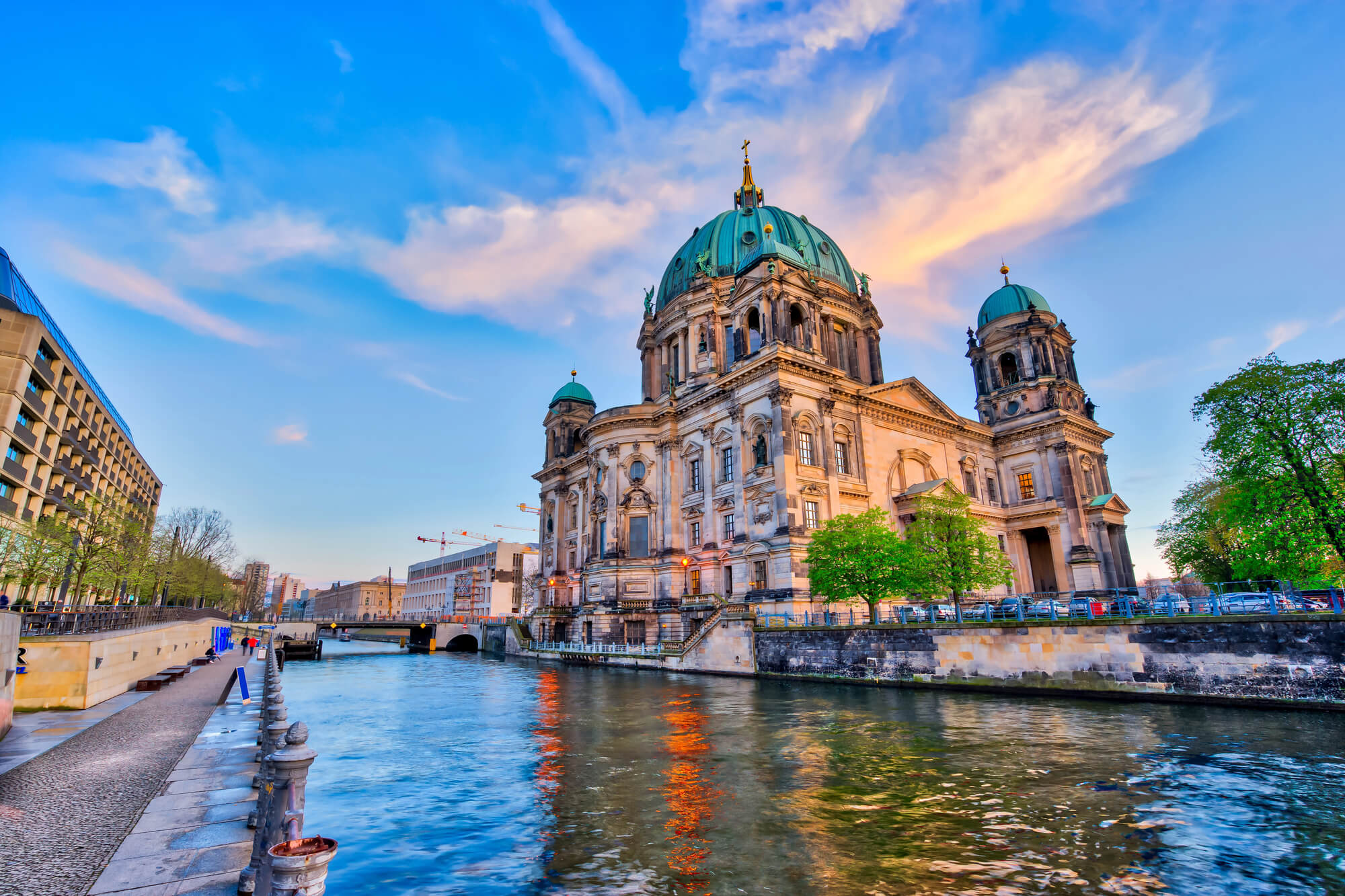
Teufelsberg, German for Devil’s Mountain, is a man-made hill in western Berlin piled up from the rubble of bombed buildings after the Second World War. Beneath it lies an unfinished Nazi military college designed under Albert Speer that proved too sturdy to demolish, so workers simply buried it.
During the Cold War, American and British intelligence built a listening station on top, and its white radar domes still dominate the skyline. The site is now a graffiti gallery and tour stop.
The name comes from the Teufelssee, a small lake nearby.
A Legendary Trench Called Devil’s Dyke
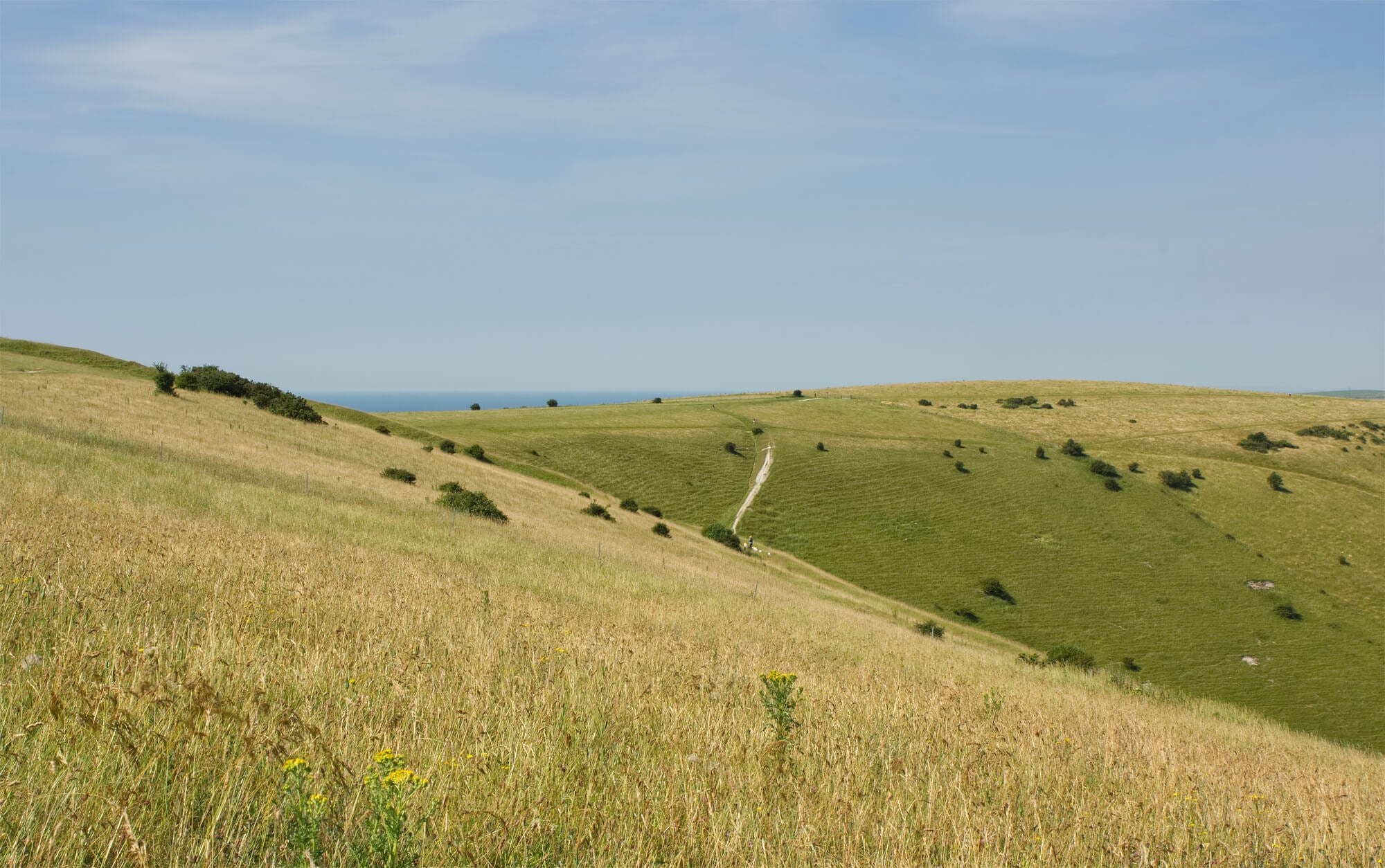
Just north of Brighton on the South Downs, Devil’s Dyke is a deep, dry valley carved into the chalk. Legend says the devil dug it to let the sea flood the churches of the Weald, but an old woman lit a candle, and he fled believing the sun was rising.
Victorian day-trippers flocked here, and by the 1890s the site had a railway branch line, a hotel, and an aerial cableway crossing the valley. The painter John Constable reportedly called it the grandest view in the world.
Paragliders now use the steep slopes on windy days.
Devil’s Lake and Its Quartzite Bluffs
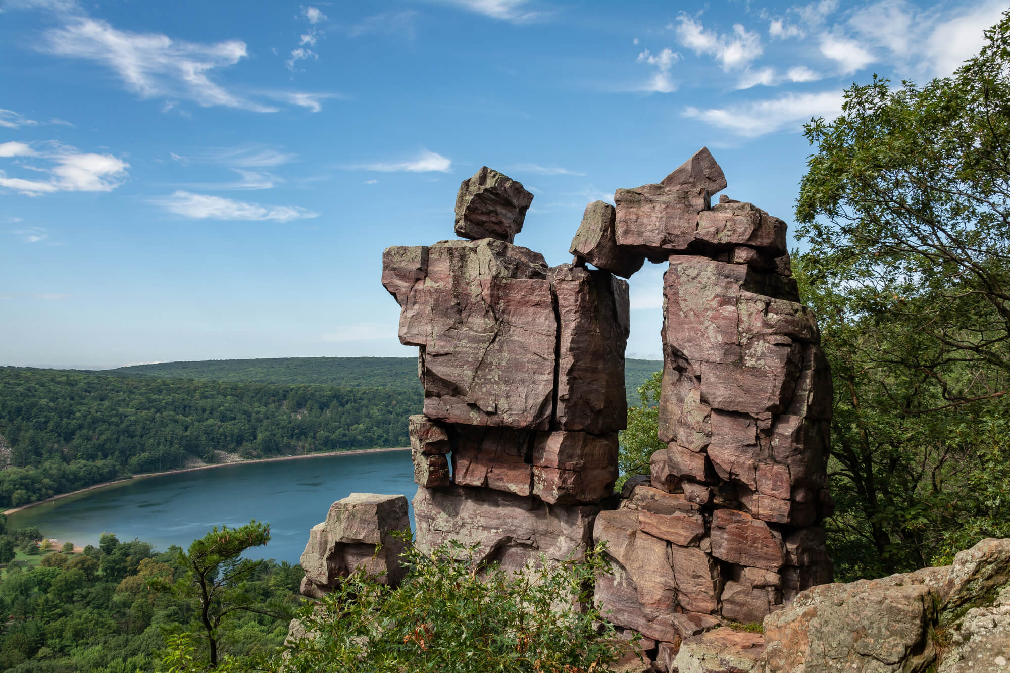
Devil’s Lake State Park near Baraboo is Wisconsin’s most visited state park, drawing millions of visitors a year. The 360-acre lake sits between 500-foot quartzite bluffs, formed from rock more than a billion years old.
The English name is a loose translation of a Ho-Chunk name usually rendered as Sacred Lake or Spirit Lake. Climbers come for the bluffs, and hikers pass formations such as Devil’s Doorway on the East Bluff.
Glacial debris plugged both ends of the old river gorge during the last ice age, which is why the lake exists at all.
Devil’s Punch Bowl in the Surrey Hills
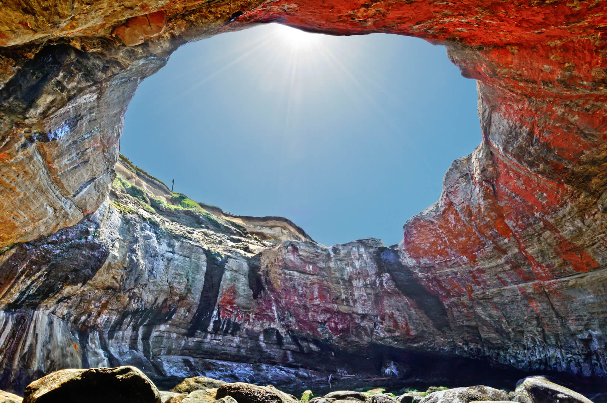
Near Hindhead in Surrey, England, the Devil’s Punch Bowl is a large natural amphitheater carved out by springs eroding the sandstone. Local legends credit the devil with scooping out the earth to throw at the god Thor.
For decades the busy A3 highway ran along its rim, until the Hindhead Tunnel opened in 2011 and the old road was ripped up and replanted with heather. Nearby Gibbet Hill still carries a memorial stone to a sailor murdered on the road in 1786.
Walkers now have the rim almost entirely to themselves.
Blood-Red Water at the Devil’s Pulpit
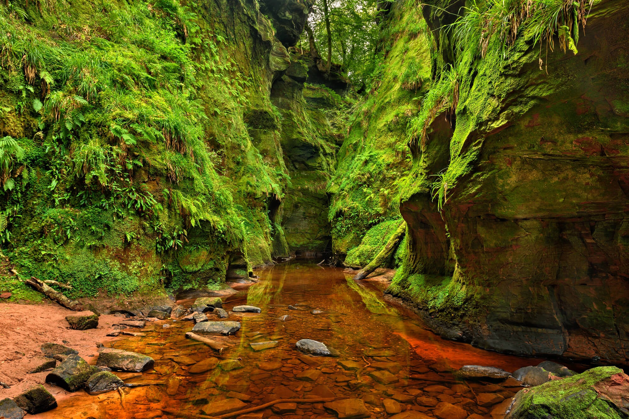
Finnich Glen near Killearn in Stirlingshire, Scotland, is a narrow sandstone gorge where the water of the Carnock Burn runs a deep red over the rock. At its base sits the Devil’s Pulpit, a mushroom-shaped stone where legend says the devil preached to his followers.
The gorge appeared in the television series Outlander, and the rush of visitors that followed caused erosion, parking chaos, and a string of rescues on the slippery old steps. Local groups have since pushed for proper access and safety measures.
The color is caused by the sandstone, not by anything sinister.
Jigokudani, the Valley of the Bathing Monkeys
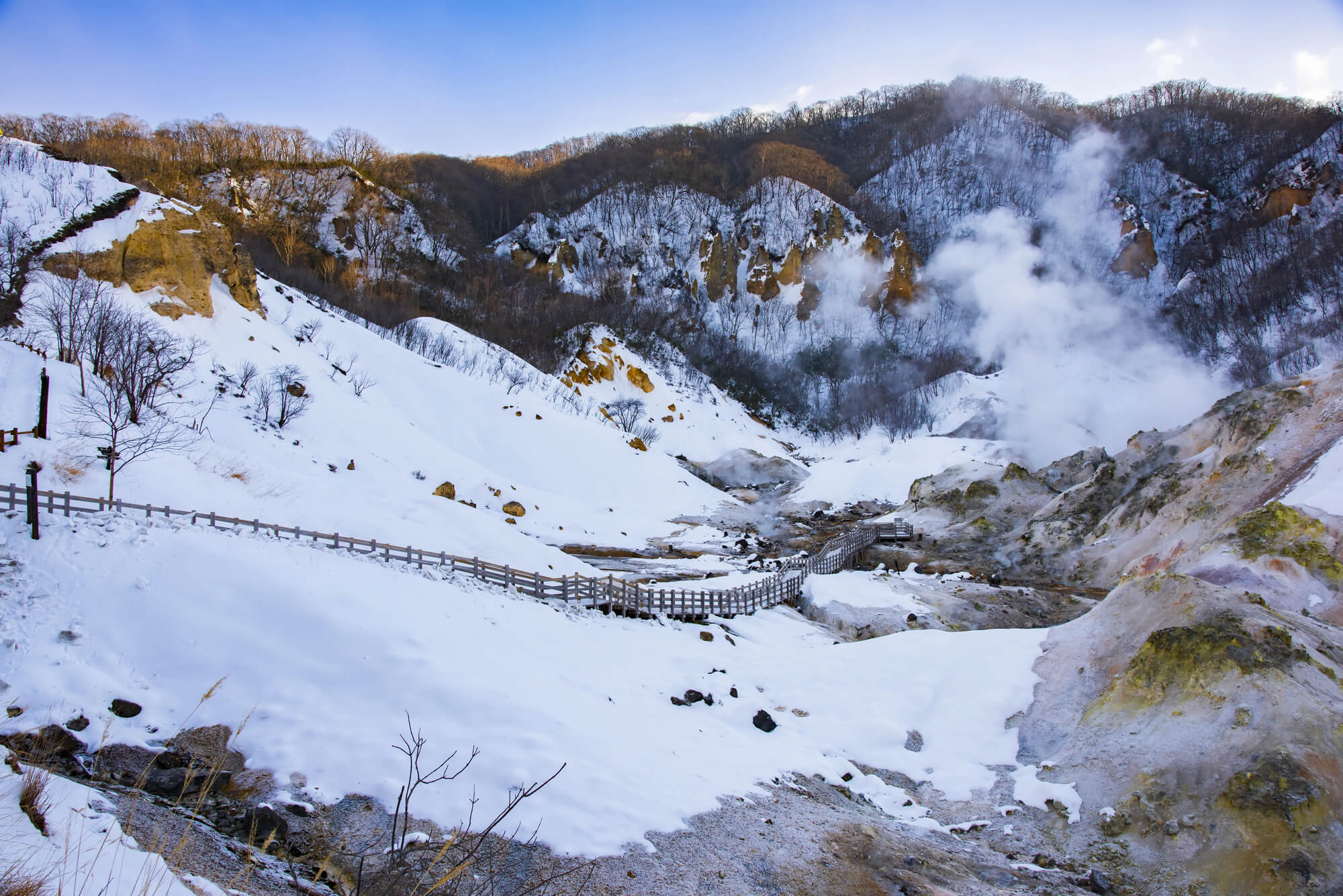
Jigokudani, which means Hell’s Valley, sits in Nagano Prefecture, Japan, and takes its name from the steam and boiling water that pour out of the ground in a steep, cold gorge. Jigokudani Monkey Park opened in 1964, and its Japanese macaques became world famous for soaking in a hot spring pool while snow piles up on their heads.
The monkeys are wild and come down from the forest on their own schedule. Winter is peak season for both macaques and photographers.
The 1998 Nagano Winter Olympics brought a wave of international attention.
Beppu’s Hot Spring Hells
Beppu, on the island of Kyushu, turns its warmest springs into a sightseeing circuit called the Hells of Beppu, or jigoku meguri. These springs are far too hot for bathing and are admired rather than entered.
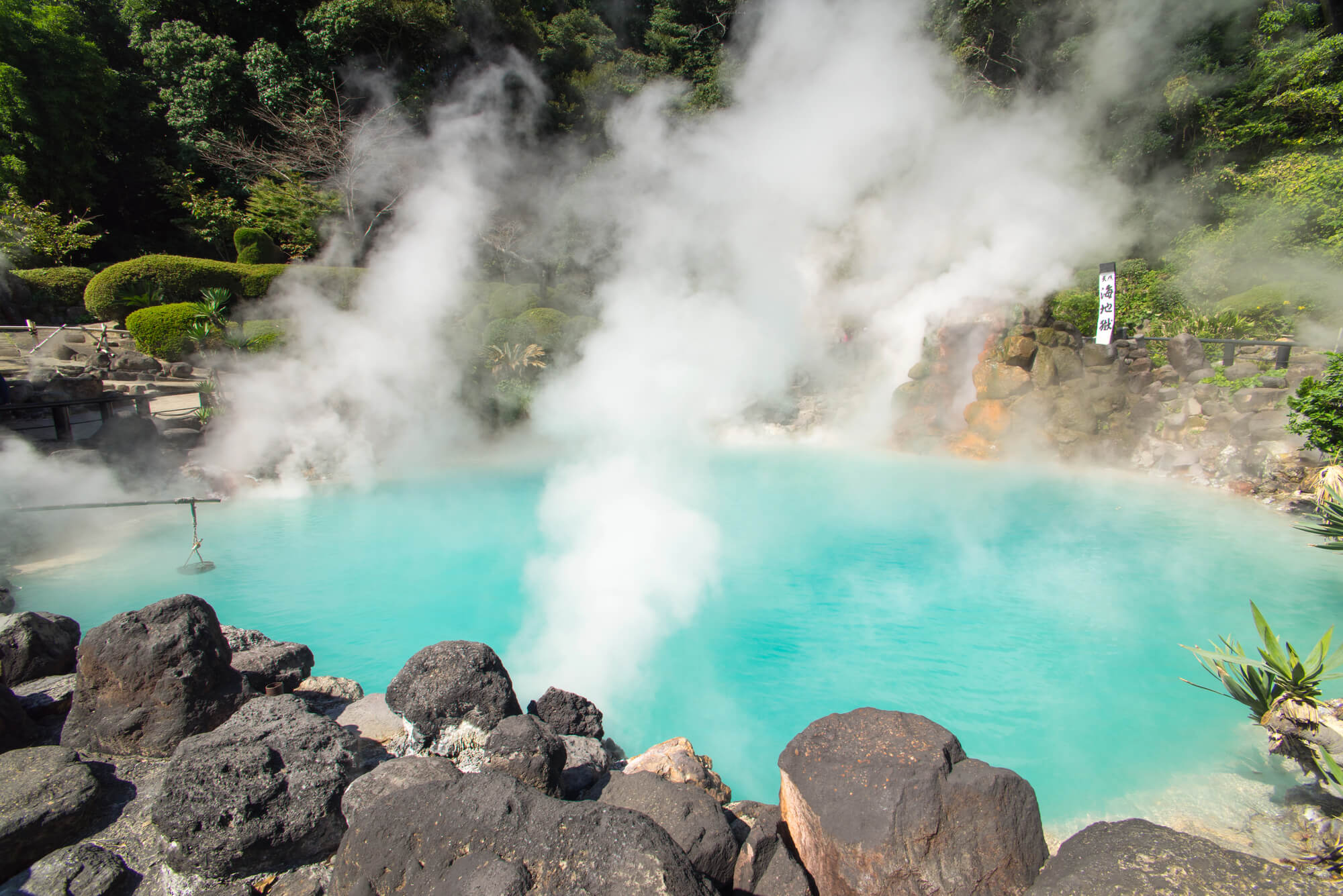
Umi Jigoku, the Sea Hell, glows cobalt blue, and Chinoike Jigoku, the Blood Pond Hell, stains red with iron oxide and clay. Tatsumaki Jigoku is a geyser that erupts roughly every half hour, held down by a stone roof so it cannot shoot too high.
Stalls near the exits sell eggs and custard puddings cooked in the natural steam.
Mount Diablo and a Misplaced Name
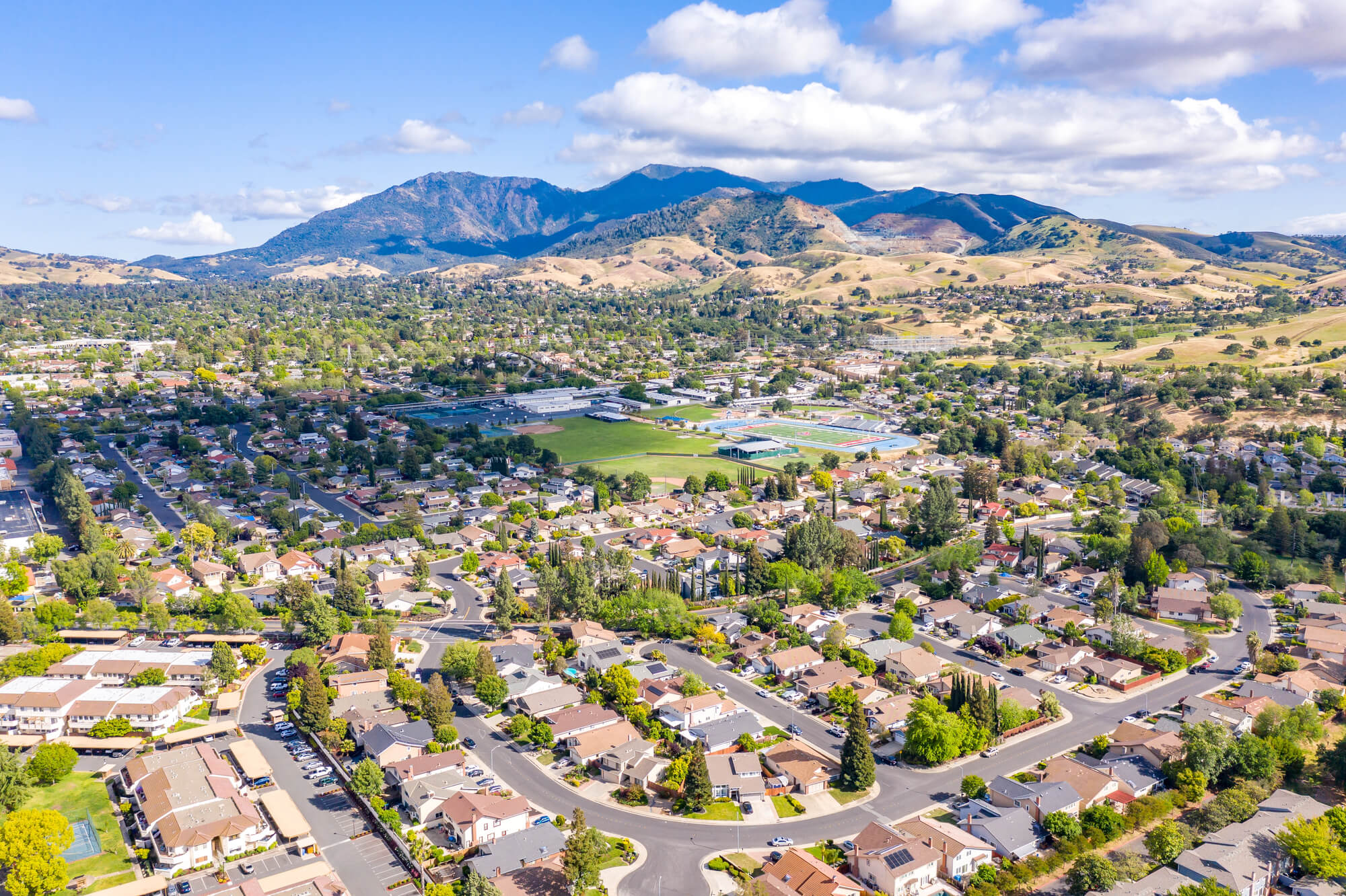
Mount Diablo, a 3,849-foot peak east of San Francisco Bay, got its name through a chain of misunderstandings. As the story goes, Spanish soldiers in 1805 chased a group of Native people into a willow thicket, and when the group seemed to disappear, the soldiers called the thicket Monte del Diablo.
English speakers later assumed monte meant mountain and moved the name up to the peak. On clear days the summit takes in a huge sweep of Northern California.
A beacon on top is lit every December 7 to honor Pearl Harbor survivors.
Wyoming’s Hell’s Half Acre
Hell’s Half Acre, west of Casper, Wyoming, is a badlands basin of eroded clay and sandstone spires that covers far more than half an acre. Its gullies and striped cliffs stood in for an alien planet in the 1997 film Starship Troopers.
A roadside restaurant and motel once operated at the overlook along the highway, but they eventually closed and were torn down. Accounts say early hunters drove bison over its edge.
The overlook still offers a free look into a landscape that seems dropped in from another continent.
Utah’s Hell’s Backbone Bridge
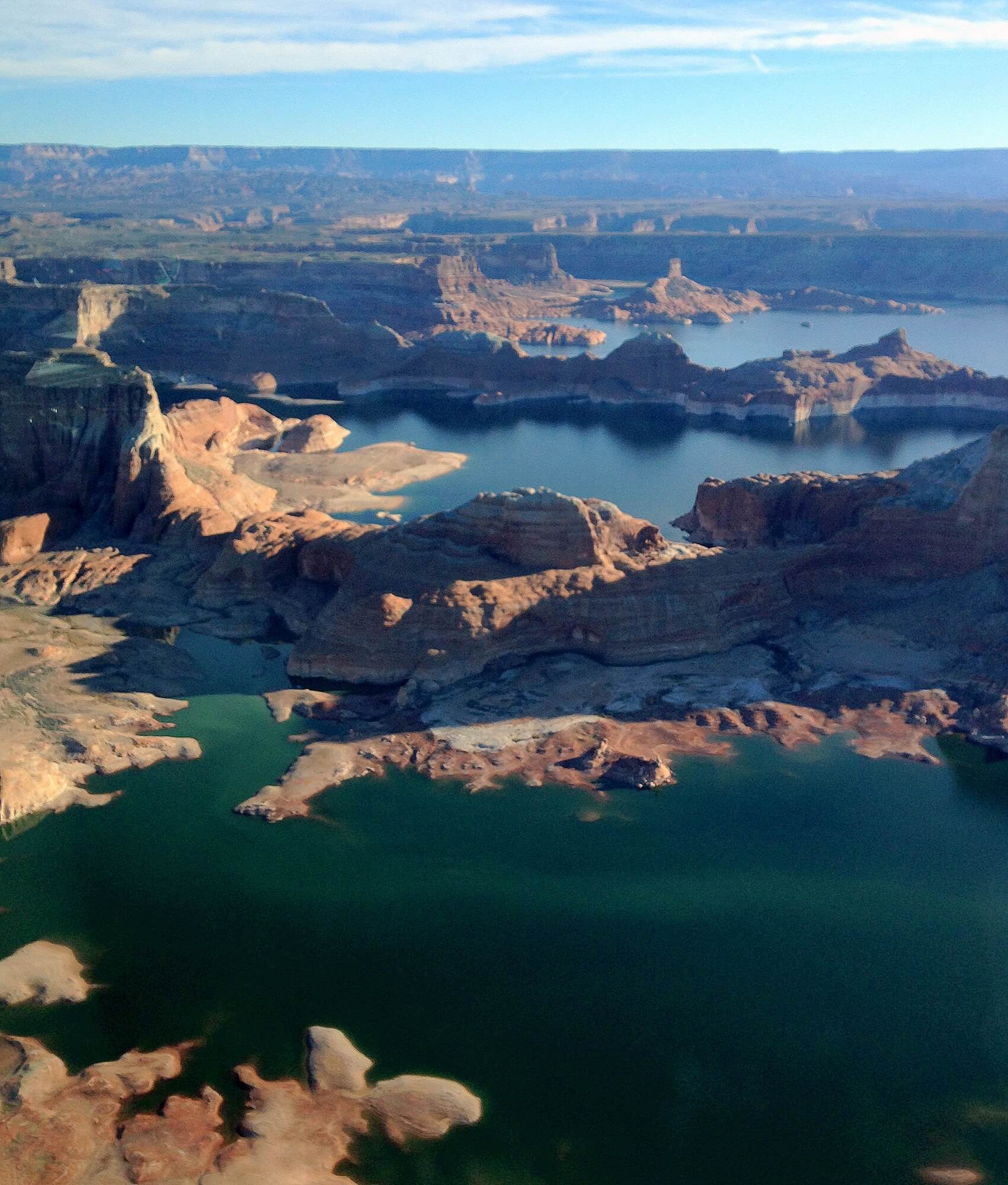
Hell’s Backbone is a road in southern Utah’s Dixie National Forest that links the towns of Boulder and Escalante across high, rugged country. Before any bridge existed, the route crossed a knife-edge ridge with canyons dropping away on both sides, and the packers who used it gave the ridge its name.
The Civilian Conservation Corps built the first bridge over the gap in 1933, and a newer one replaced it later. Much of the road is still unpaved gravel and closes in winter.
The drops into Death Hollow and Sand Creek run to hundreds of feet.
Hell’s Mouth on the Llyn Peninsula
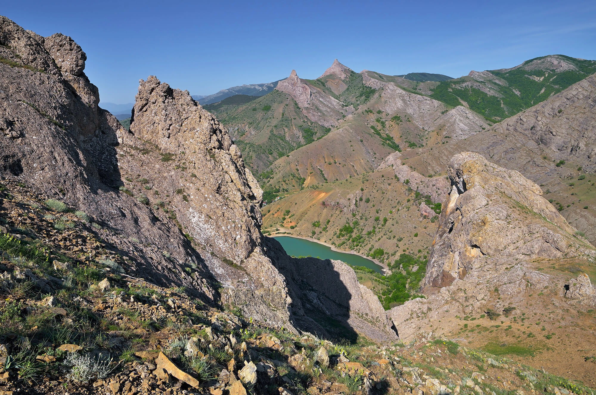
Porth Neigwl, on the Llyn Peninsula in northwest Wales, is better known by its English nickname, Hell’s Mouth. The four-mile bay faces straight into the prevailing southwesterly winds, and in the age of sail it trapped ships that could not claw their way back out to sea.
Wrecks piled up along the beach over the centuries. The same exposure that doomed sailing ships makes the bay one of the most reliable surf spots in Wales.
On a calm summer day, the name seems like an exaggeration.
Lime-Green Water of the Devil’s Bath
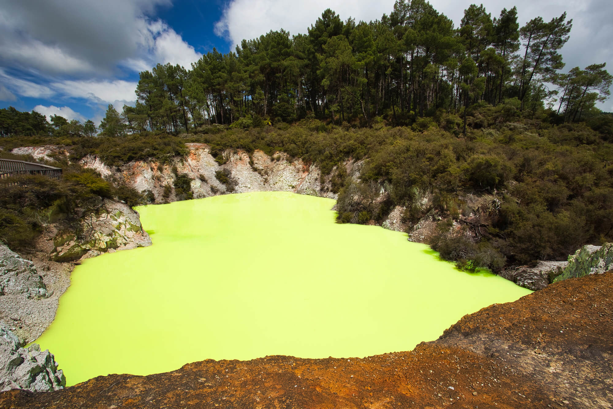
The Devil’s Bath at Wai-O-Tapu Thermal Wonderland, south of Rotorua in New Zealand, is a crater pool filled with water of an alarming lime-green color. The shade comes from sulfur and other minerals rising from below, and it shifts toward yellow or darker green depending on light and weather.
Visitors view it from a boardwalk rather than stepping anywhere near it. The same park holds the orange-rimmed Champagne Pool and the Lady Knox Geyser.
The pool looks less like a bath than a vat of chemistry gone wrong.
Fear Leaves the Longest Marks on a Map
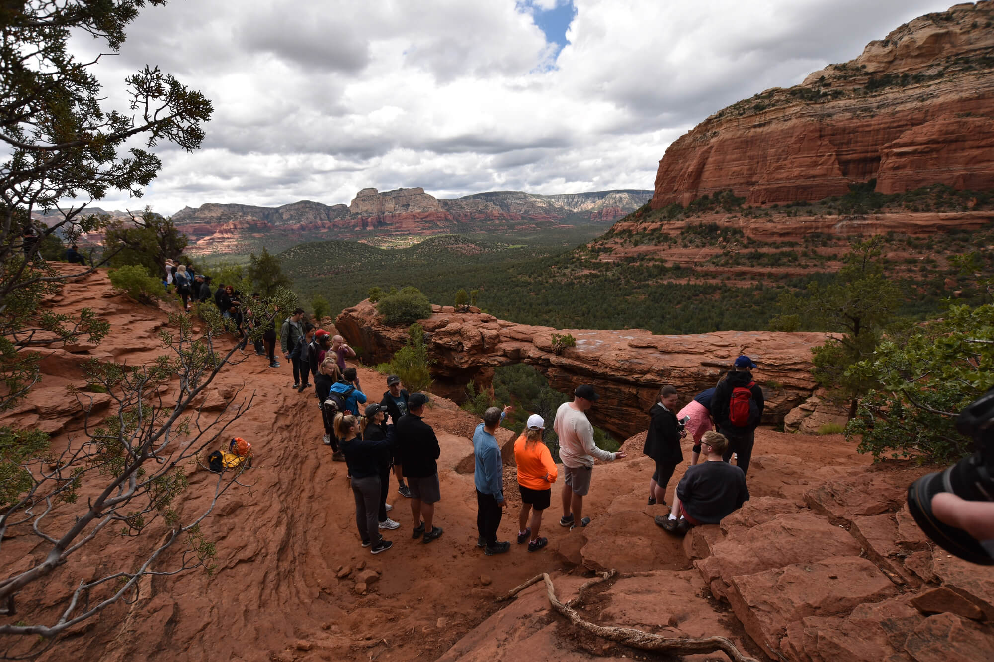
The devil ended up on so many maps because naming a place is a way of issuing a warning. A gorge called hell tells the next traveler to go carefully, and a pool called the devil’s says keep out more clearly than any sign.
Plenty of these names stayed put long after the danger they described had faded. Rapids were tamed, bridges were built, and the warnings turned into brand names.
Some of the names never had anything to do with fear at all. Norwegian luck, a Ho-Chunk sacred lake, and a Spanish thicket all got rewritten as hellfire by people who heard what they expected to hear.
The map records the listener as much as the land. That may be the most revealing thing about all 32 of them.
More from Go2Tutors!

- The Romanov Crown Jewels and Their Tragic Fate
- 13 Historical Mysteries That Science Still Can’t Solve
- Famous Hoaxes That Fooled the World for Years
- 15 Child Stars with Tragic Adult Lives
- 16 Famous Jewelry Pieces in History
Like Go2Tutors’s content? Follow us on MSN.