31 Borders Redrawn Within a Single Lifetime
A person born in 1945 has watched the map change dozens of times without ever leaving their own address. Empires dissolved, unions formed, and lines that once meant nothing to cross became the difference between one country and another overnight.
Some of these changes were negotiated over years of diplomacy. Others happened in a single vote, a single war, or a single treaty signing, and the people living along the line had to learn a new flag by the following morning.
India and Pakistan, 1947
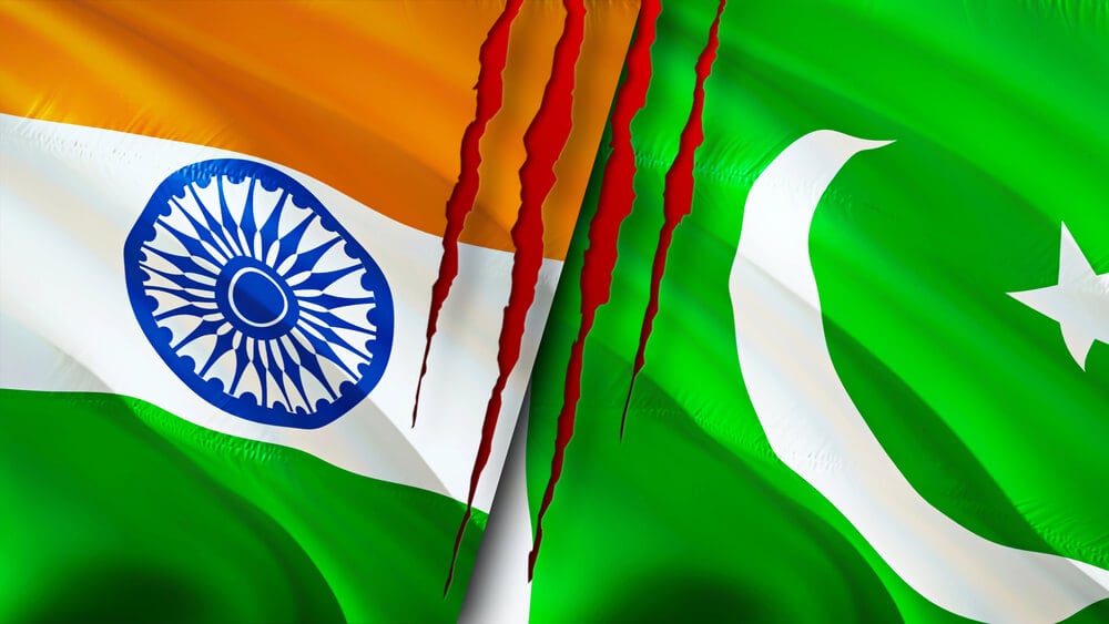
British colonial India split into two independent nations in August 1947, a division that displaced an estimated fourteen million people as Hindus, Sikhs, and Muslims crossed the new line in both directions within months. The border, largely drawn by a British lawyer who had never previously visited the region, still runs through contested territory in Kashmir today; violence accompanying the partition killed hundreds of thousands of people in a matter of weeks.
Bangladesh’s Separation from Pakistan, 1971
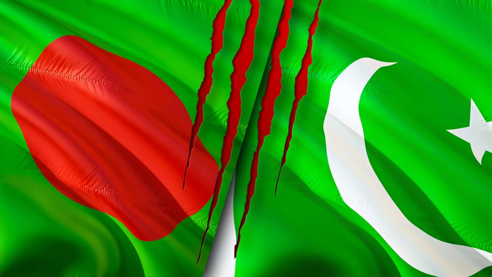
What had been East Pakistan broke away from West Pakistan after a nine-month war, becoming the independent nation of Bangladesh in December 1971. The two halves of the original country had never shared a land border, separated by the entire width of India; a single generation saw the region redrawn twice, first at partition and again at Bangladesh’s founding.
Germany’s Division and Reunification

Germany split into two separate states in 1949, one aligned with the Western powers and one with the Soviet Union, a division formalized further by the construction of the Berlin Wall in 1961. The wall fell in 1989, and formal reunification followed within a year, in October 1990; Berliners who remembered the war’s end lived to see their city divided and rejoined within a single lifetime.
Korea’s Division
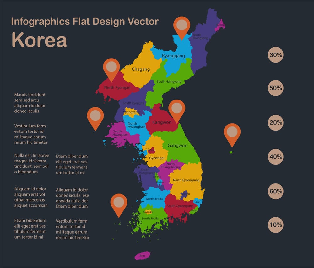
Korea split at the 38th parallel following Japan’s surrender in 1945, an arrangement originally intended as temporary administrative convenience between American and Soviet occupying forces. The 1950 to 1953 war shifted the line only slightly before both sides settled into the heavily fortified border that still separates North and South Korea today; no peace treaty formally ended the conflict, leaving the division technically unresolved.
The Soviet Union’s Dissolution
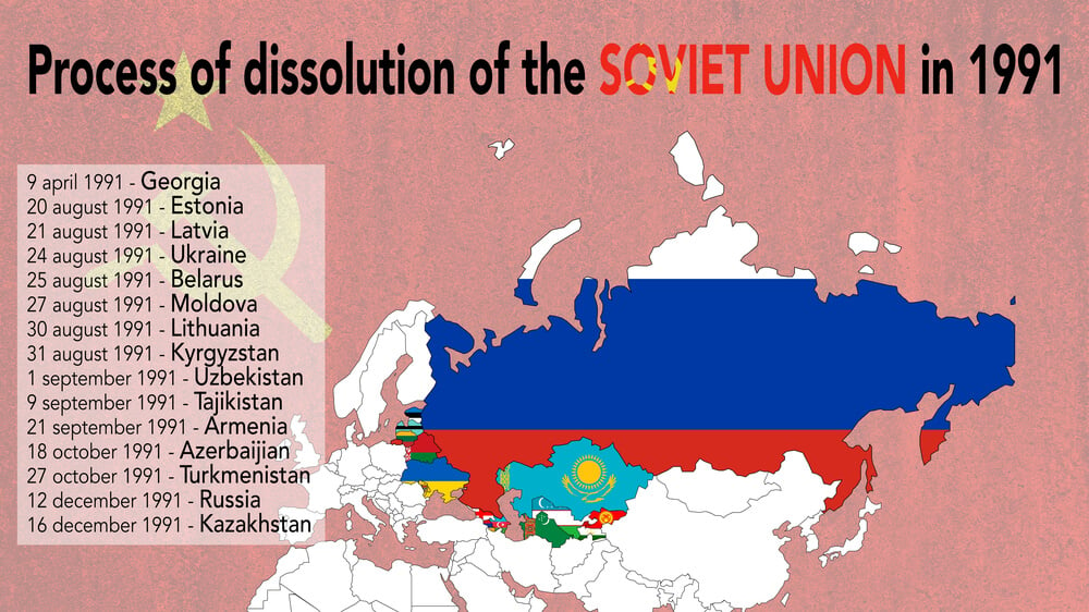
The Soviet Union collapsed in December 1991, splitting into fifteen separate countries stretching from the Baltic Sea to the Pacific Ocean. Citizens who had spent their entire lives under one government found themselves holding passports from newly independent nations, in some cases without ever crossing a physical border themselves; the change redrew more territory at once than almost any political event of the twentieth century.
Yugoslavia’s Breakup
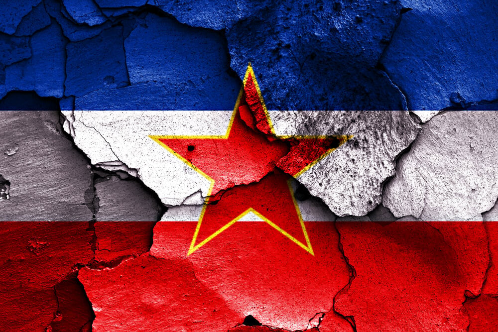
Yugoslavia fractured through a series of wars and declarations between 1991 and 2008, eventually producing seven separate countries where one federation had stood. Slovenia and Croatia departed first, followed by Bosnia and Herzegovina, North Macedonia, Serbia, Montenegro, and finally Kosovo; the process was frequently violent, and international recognition of the newest borders remains incomplete even now.
Czechoslovakia’s Velvet Divorce
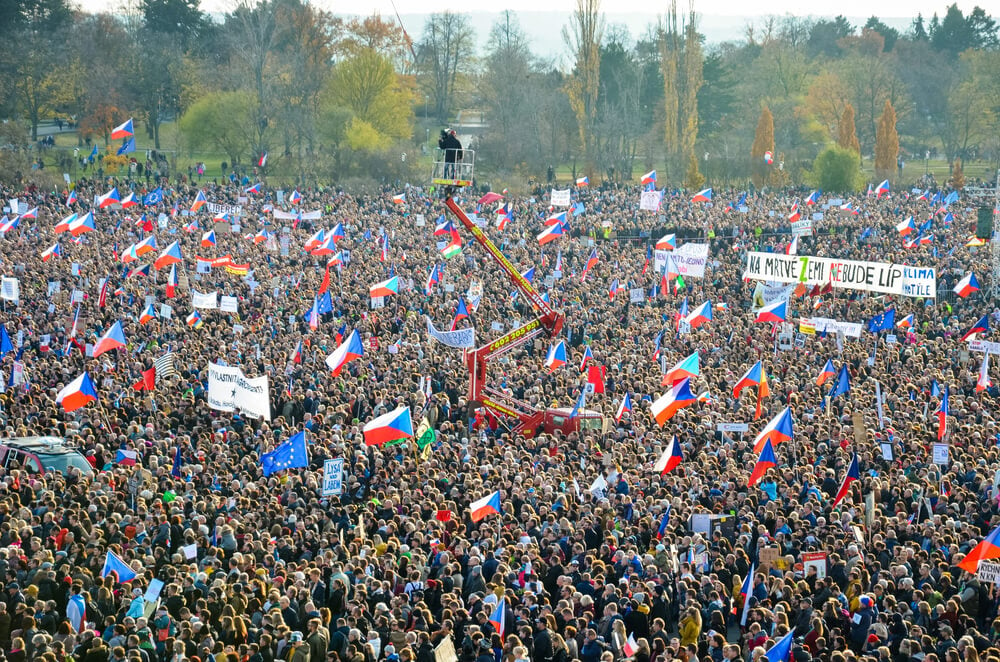
Czechoslovakia split into the Czech Republic and Slovakia on January 1, 1993, through a negotiated parliamentary process rather than a referendum or conflict. The peaceful nature of the separation earned it the nickname the Velvet Divorce, a contrast to the wars unfolding in Yugoslavia at nearly the same moment; both resulting countries later joined the European Union as separate members.
South Sudan’s Independence
South Sudan became the world’s newest country in July 2011, separating from Sudan after decades of civil war and a referendum in which the south voted overwhelmingly for independence. The new border cut through oil-producing territory that both governments continued disputing after the split; it remains the most recently created internationally recognized country in Africa.
Eritrea’s Separation from Ethiopia
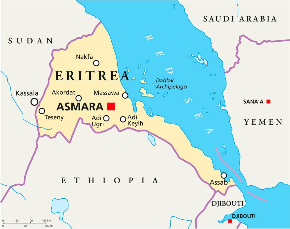
Eritrea formally became independent in 1993 after a decades-long war and a referendum, separating from Ethiopia and giving the newly landlocked Ethiopia the loss of its entire coastline. A further border war between the two countries broke out in 1998 and lasted two years before a settlement fixed the line more precisely; tensions along that border periodically flared again in the decades that followed.
East Timor’s Independence
East Timor voted for independence from Indonesia in a 1999 referendum, though the transition to full sovereignty was not completed until 2002 following a period of violence and international peacekeeping. The territory had itself been a Portuguese colony before Indonesia annexed it in 1975; its border with Indonesian West Timor now runs through an island it once shared as a single Indonesian province.
Crimea’s Two Transfers
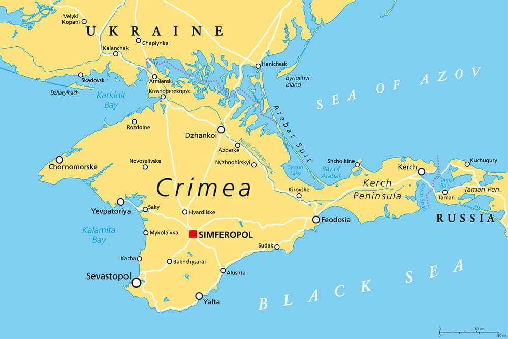
Crimea moved from Russian to Ukrainian administration within the Soviet Union in 1954, a transfer that meant little while both republics belonged to the same country. When the Soviet Union dissolved in 1991, that internal boundary became an international one overnight, placing Crimea inside independent Ukraine; Russia annexed the peninsula in 2014, meaning a single lifetime spanning both events saw the same territory change hands twice.
Israel’s Shifting Lines
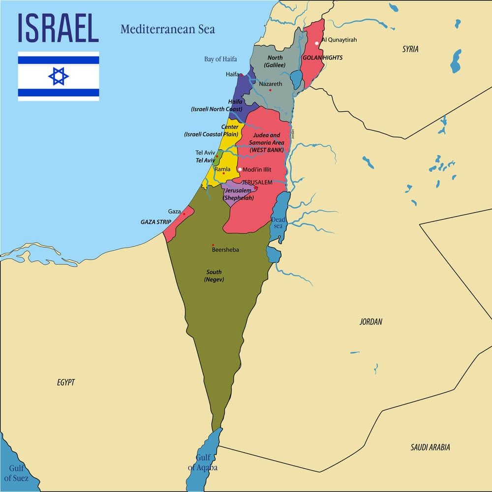
Israel’s borders have moved repeatedly since its founding in 1948, expanding significantly after the 1967 war to include the Golan Heights, the West Bank, Gaza, and the Sinai Peninsula. The Sinai was returned to Egypt under a 1979 peace treaty, while the other territories remain subjects of ongoing dispute and negotiation; few borders anywhere have generated as much sustained diplomatic attention over as many decades.
Vietnam’s Division and Reunification
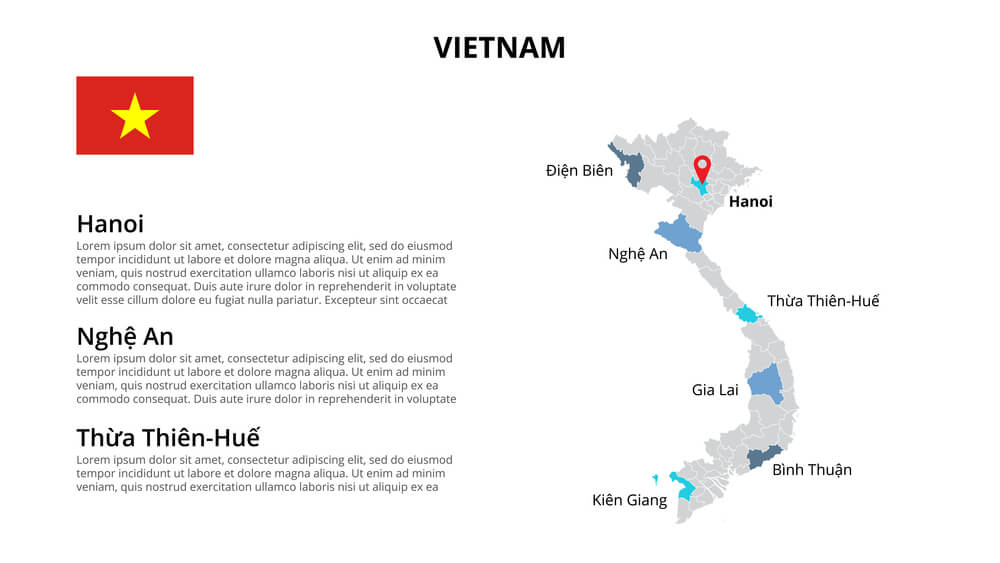
Vietnam split at the 17th parallel following the 1954 Geneva Accords, dividing the country into a communist north and an American-backed south. Decades of war followed before North Vietnamese forces took the southern capital in 1975, reunifying the country under a single government within months; the dividing line disappeared from maps entirely once reunification was complete.
Yemen’s Unification and Fragmentation
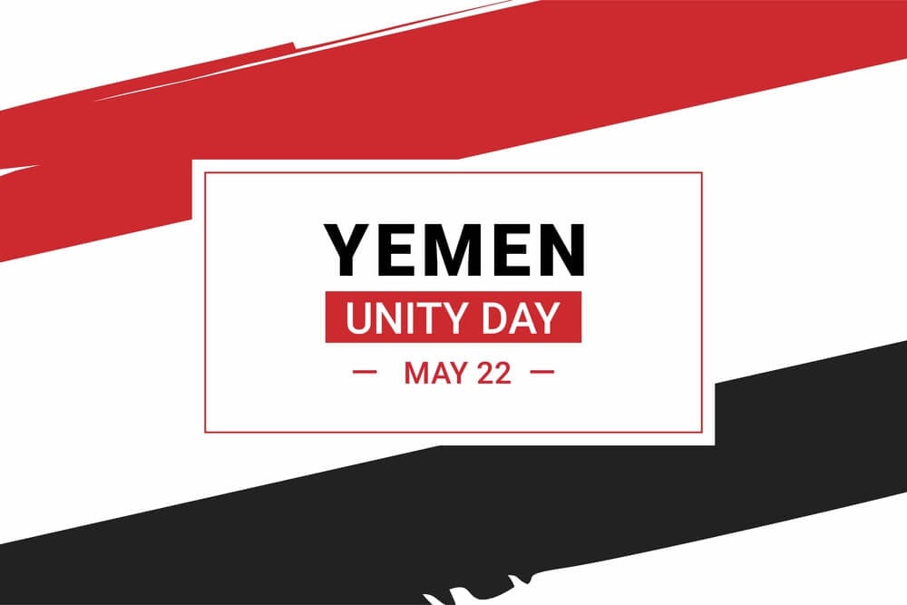
North and South Yemen unified into a single country in 1990 after decades as separate states, one of the few examples of two nations voluntarily merging rather than splitting apart. A civil war in 1994 briefly threatened to reverse the union before the unified government prevailed; ongoing conflict since 2014 has left the country functionally divided again along different lines than before unification.
Singapore’s Separation from Malaysia
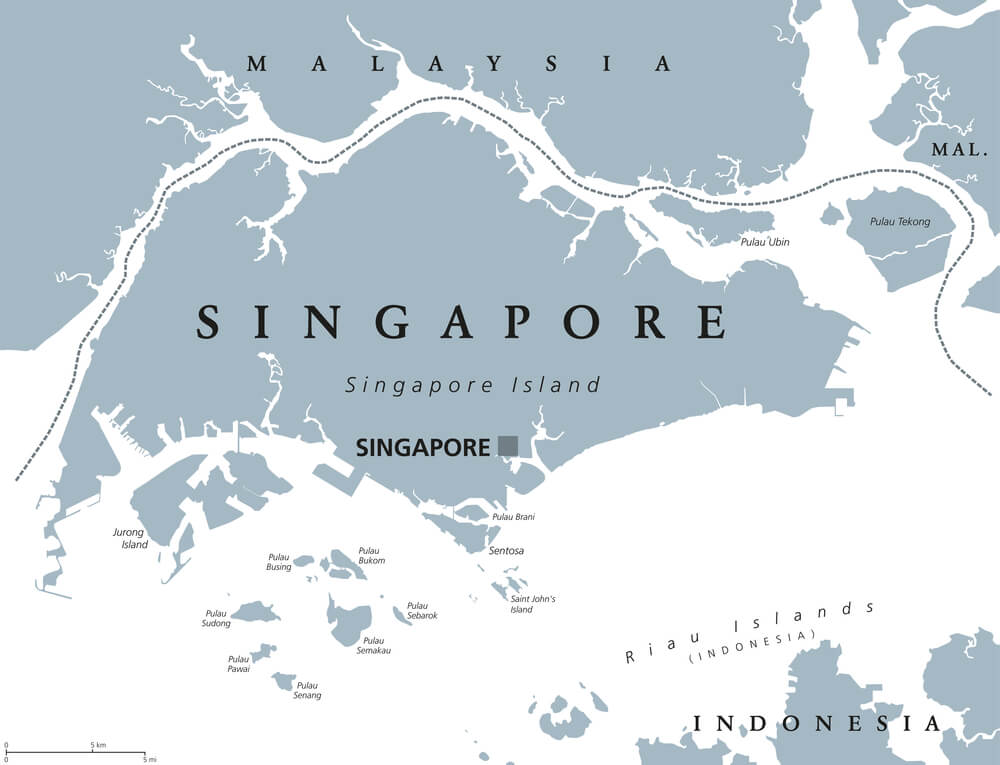
Singapore left the Federation of Malaysia in August 1965, becoming an independent country after just two years as part of the federation. The separation was driven by political tensions between Singapore’s leadership and the federal government rather than by war; Singapore’s founding leader reportedly wept publicly when announcing the split on television.
Hong Kong’s Handover
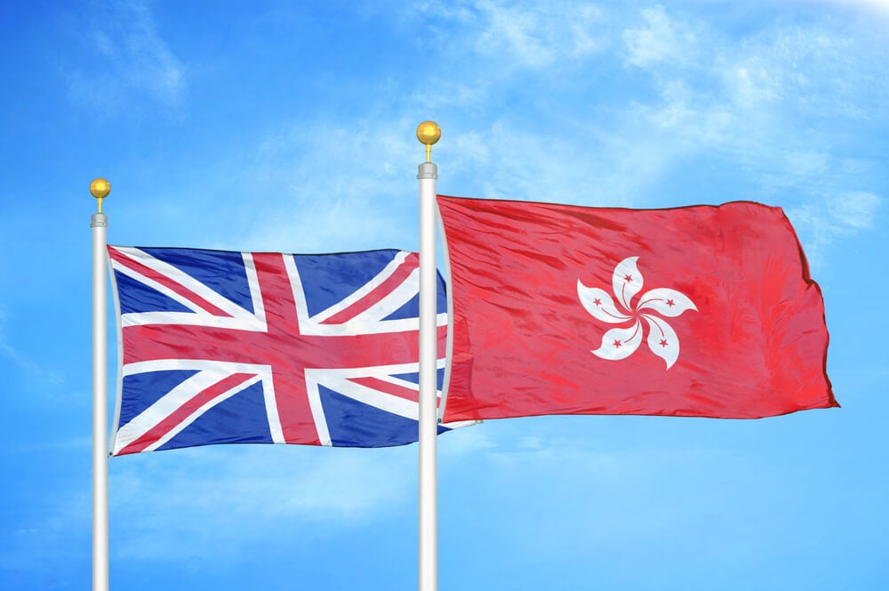
The United Kingdom transferred sovereignty over Hong Kong to China in 1997, ending more than a century and a half of colonial administration under a lease that had finally expired. The handover came with a guarantee of a distinct governing system for fifty years under the “one country, two systems” framework; the territory’s border with mainland China, once a hard boundary, has become increasingly porous in the years since.
Macau’s Handover
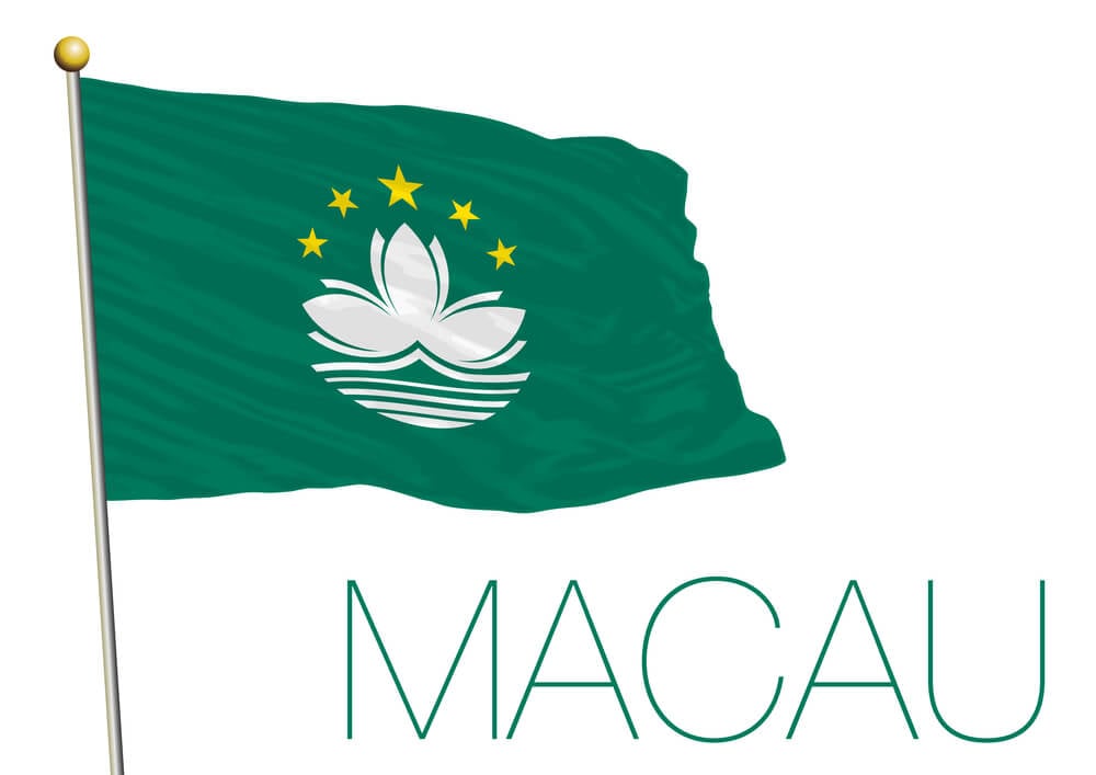
Portugal returned Macau to Chinese sovereignty in December 1999, two years after Hong Kong’s own handover and under a similar arrangement guaranteeing a separate system of governance. Macau had been a Portuguese trading post since the sixteenth century, making it one of the longest-held European colonial territories in Asia; its border with mainland China remains a distinct administrative line despite the change in sovereignty.
The Panama Canal Zone’s Return
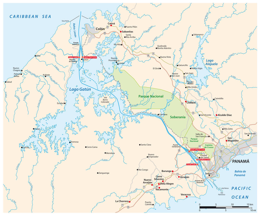
The United States controlled a strip of territory bisecting Panama for the entire length of the canal from 1903 until a 1977 treaty set a schedule for its return. Full transfer of the Canal Zone to Panamanian control was completed at the end of 1999; a border that had cut the country in two for nearly a century simply disappeared once the transfer was finalized.
Namibia’s Independence
Namibia gained independence from South African administration in 1990, the last African territory to shed colonial-era control after a long guerrilla conflict and years of international negotiation. South Africa had governed the territory, then called South West Africa, since seizing it from Germany during the First World War; the new border formalized a line that had existed administratively for decades without full international recognition.
Western Sahara’s Disputed Status
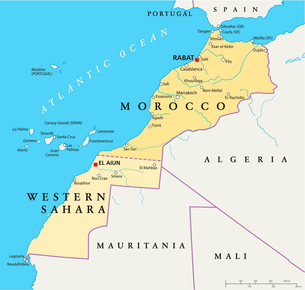
Spain withdrew from its colony of Western Sahara in 1975, and the territory has remained disputed ever since between Morocco, which administers most of it, and a local independence movement recognized by a number of other governments. No internationally agreed border has ever been finalized; it remains one of the few territories in Africa without settled sovereign status.
Kosovo’s Declared Independence
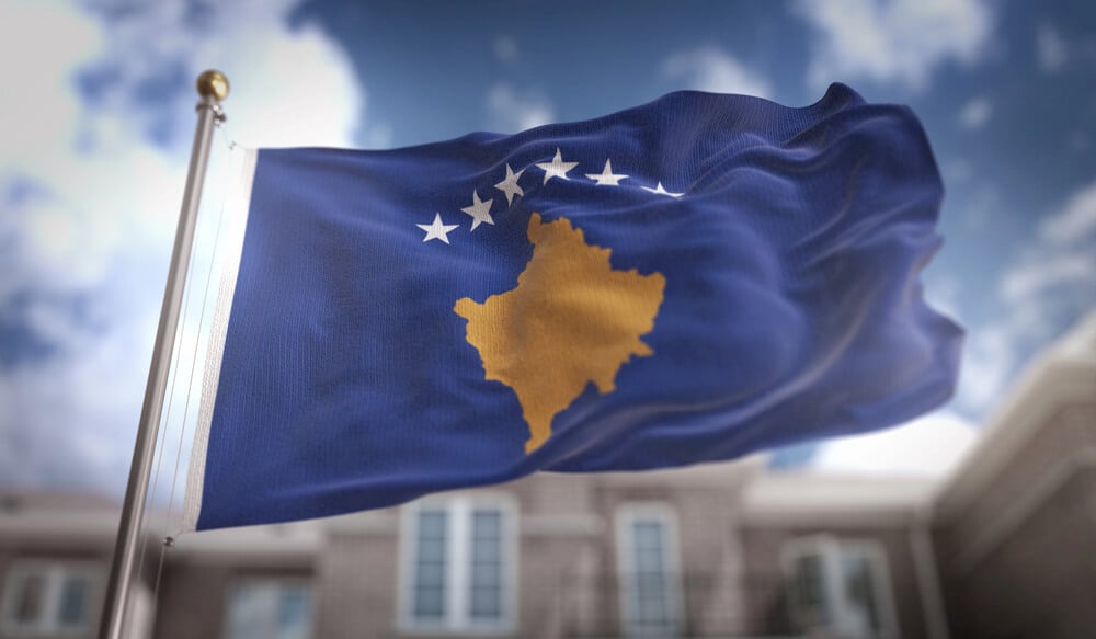
Kosovo declared independence from Serbia in February 2008, nearly a decade after a NATO military intervention had already ended direct Serbian control over the territory. Serbia has never recognized the declaration, and neither have a number of other United Nations member states; the result is a border that functions on the ground but remains diplomatically contested on paper.
Montenegro’s Independence
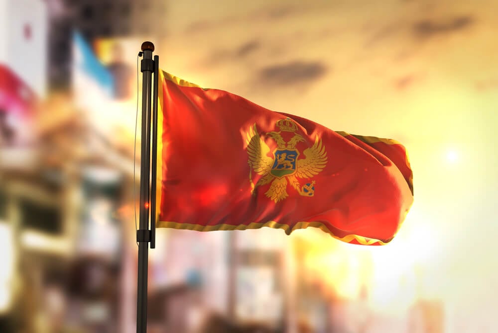
Montenegro voted narrowly to leave its union with Serbia in a 2006 referendum, becoming the last piece of the former Yugoslavia to gain independence through that particular process. The margin of victory cleared an internationally mandated threshold by a small fraction of a percentage point; Serbia and Montenegro’s shared border, previously an internal administrative line, became an international one immediately afterward.
The Baltic States’ Return to Independence
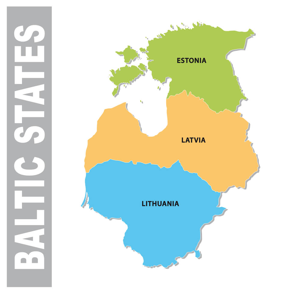
Estonia, Latvia, and Lithuania had been independent nations before Soviet forces annexed them in 1940, an annexation most Western governments never formally recognized as legitimate. All three regained independence in 1991 as the Soviet Union collapsed, restoring borders that had existed before the wartime annexation; older residents in the region lived through independence, annexation, and a return to independence within a single lifetime.
Kaliningrad’s Isolation
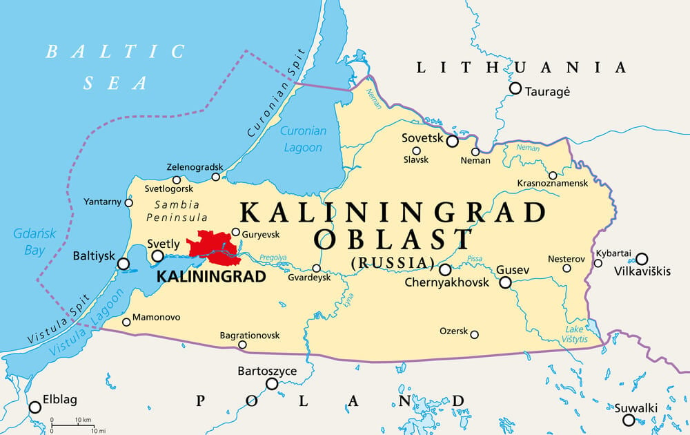
The territory around the former German city of Konigsberg became a Soviet exclave after the Second World War, separated from the rest of Russia by the newly independent Baltic states and Poland. Its German population was expelled and replaced with Soviet settlers, and the city itself was renamed Kaliningrad; it remains a Russian exclave today, physically cut off from the rest of the country by other nations’ territory.
The Saarland’s Return to Germany
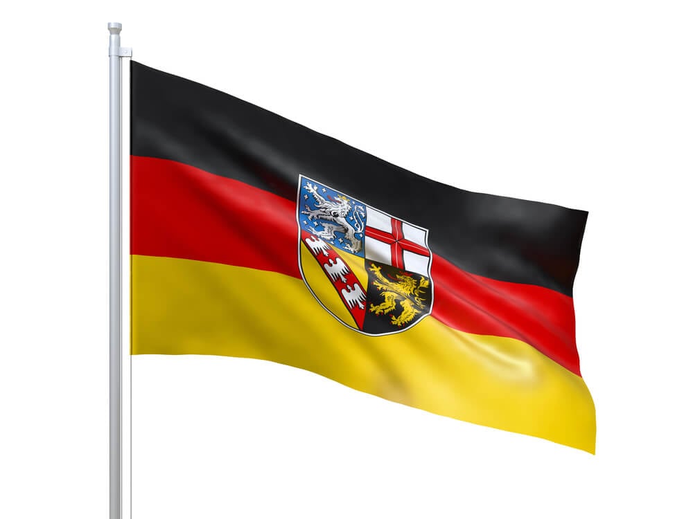
The coal-rich Saarland region came under French economic administration after the Second World War, with France hoping to eventually annex it outright. A 1955 referendum saw Saarlanders reject that arrangement by a wide margin, and the territory formally rejoined West Germany in January 1957; the region had already changed hands once before, after the First World War, making it one of the more frequently redrawn corners of Western Europe.
Trieste’s Settlement
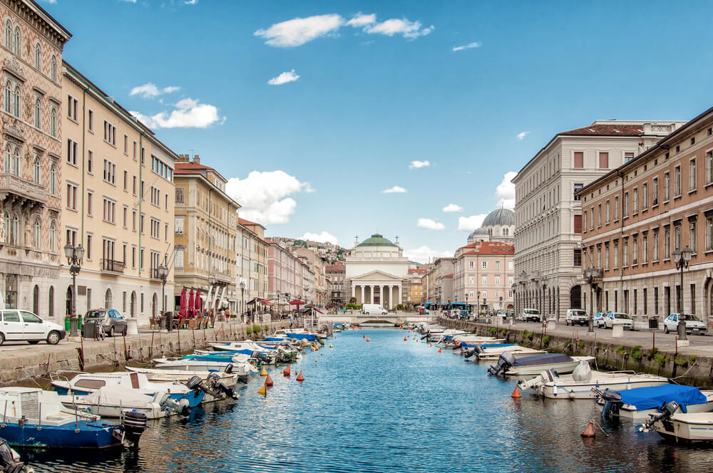
The Italian city of Trieste and its surrounding territory became a disputed free zone after the Second World War, claimed by both Italy and Yugoslavia and administered under international oversight for years. A 1954 agreement split the disputed zone between the two claimants, with Italy receiving the city; a final treaty confirming the border was not signed until 1975.
Nagorno-Karabakh’s Repeated Redraws
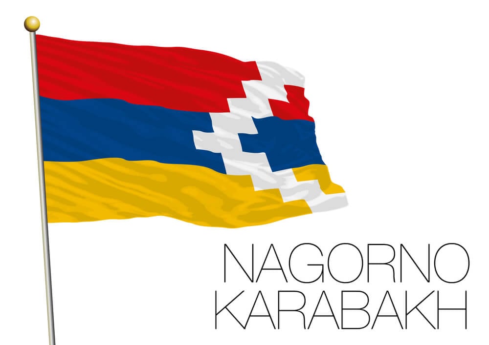
The mountainous territory of Nagorno-Karabakh changed hands repeatedly between Armenia and Azerbaijan following the Soviet Union’s collapse, first through a war in the 1990s that left it under de facto Armenian-backed control. A 2020 conflict shifted significant territory back to Azerbaijan, and a further 2023 military operation brought the entire region under Azerbaijani control; its population, once substantial, was almost entirely displaced in the process.
South Ossetia and Abkhazia’s De Facto Separation
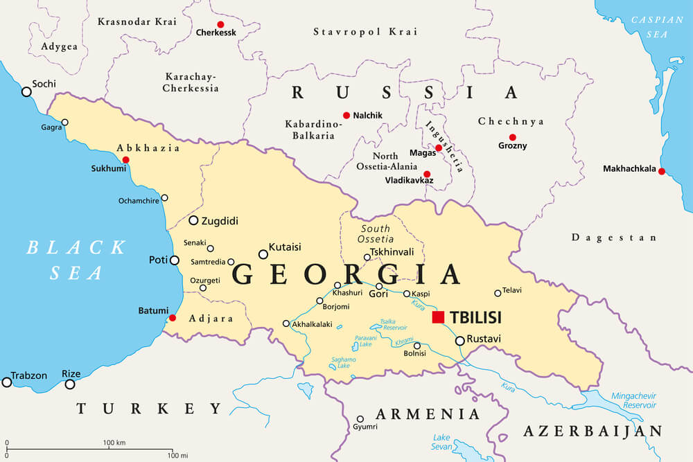
Both regions broke away from Georgian central control amid conflict in the early 1990s, and a brief war in 2008 cemented Russian military backing for their de facto independence. Georgia, along with most of the international community, continues to consider both territories part of its own sovereign borders; the lines separating them from the rest of Georgia function as hard borders on the ground regardless of their disputed legal status.
Transnistria’s Separation from Moldova
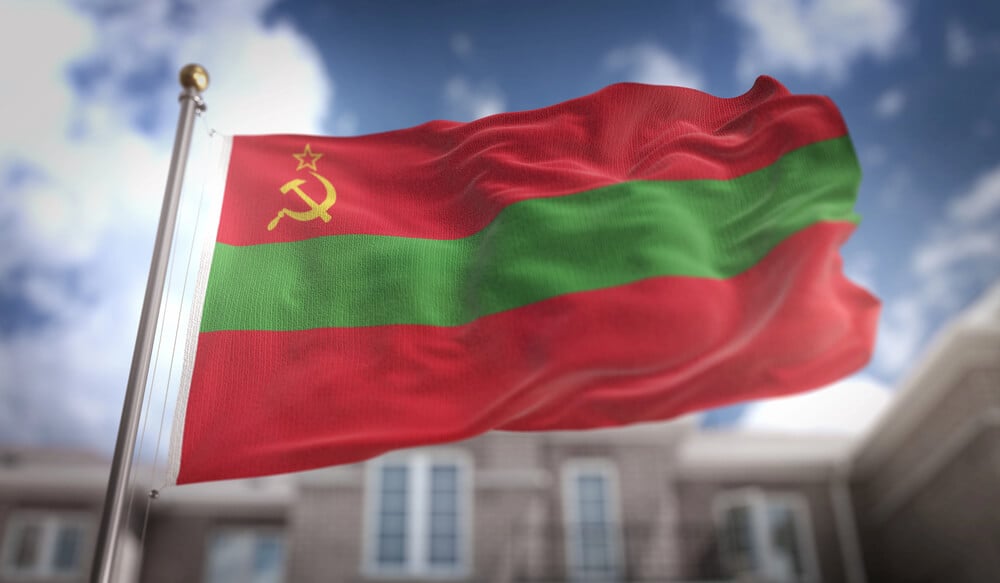
A narrow strip of territory along Moldova’s eastern edge broke away following a brief 1992 conflict, establishing a self-declared state that no United Nations member has ever recognized. Russian troops have remained stationed there in the decades since, reinforcing a border that exists in practice without existing on any official map; Moldova continues to claim the territory as an integral part of the country.
Taiwan’s Separate Governance
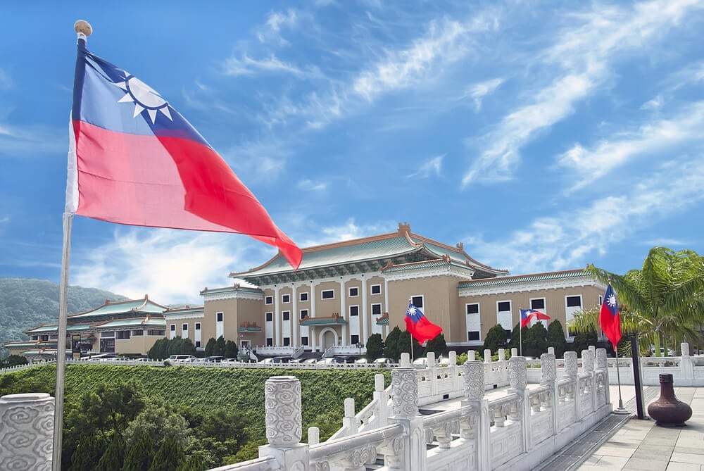
The Republic of China’s government retreated to the island of Taiwan in 1949 after losing the civil war on the mainland, establishing a separate governing administration that has continued for over seventy years. Neither side has formally redrawn an international border in the traditional sense, since most of the world does not recognize Taiwan as a separate country; the functional line across the strait nonetheless operates as one of the most closely watched borders anywhere in the world.
Cyprus’s Division
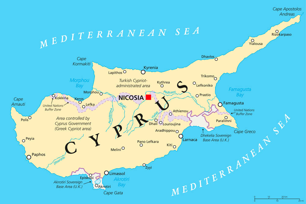
Cyprus split into Greek and Turkish administered zones following a 1974 conflict, with a United Nations buffer zone running directly through the capital city of Nicosia to this day. The northern portion declared itself a separate republic in 1983, recognized only by Turkey; residents on either side of the line have lived within sight of a divided capital for two generations now.
Where the Ink Never Quite Dries
A map is supposed to be the settled version of events, the part of history that stops changing once the treaty is signed. The lines above prove otherwise: several of them moved more than once, and a few are still moving as this is being read.
What a border actually records, more than geography, is who won the last argument about where one country ends and another begins. The next argument is usually already underway somewhere along the line.
More from Go2Tutors!

- The Romanov Crown Jewels and Their Tragic Fate
- 13 Historical Mysteries That Science Still Can’t Solve
- Famous Hoaxes That Fooled the World for Years
- 15 Child Stars with Tragic Adult Lives
- 16 Famous Jewelry Pieces in History
Like Go2Tutors’s content? Follow us on MSN.