27 Ancient Cities Found in the Last Century
It is tempting to assume that every major ancient city was mapped long ago. In fact, some of the most important urban sites on Earth were found, or finally recognized for what they were, within roughly the past hundred years.
Farmers, flood surveys and laser scanners from aircraft have all played a part. Several of these discoveries rewrote the timeline of civilization in their regions.
Machu Picchu on a Peruvian Ridge
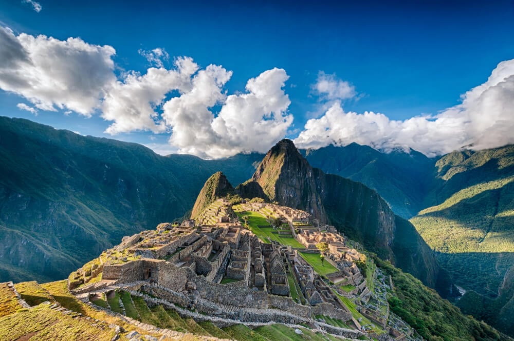
American explorer Hiram Bingham reached Machu Picchu in July 1911, guided by a local farmer named Melchor Arteaga, and found families already farming the old terraces. Local people had known of the ruins for generations, but Bingham’s photographs, published in National Geographic in 1913, introduced the site to the wider world.
The Inca estate was built around the mid-1400s, probably for the emperor Pachacuti, and abandoned roughly a century later. Spanish conquistadors apparently never found it.
UNESCO listed it as a World Heritage Site in 1983, and visitor numbers are now strictly capped.
Ugarit and Its Ancient Alphabet
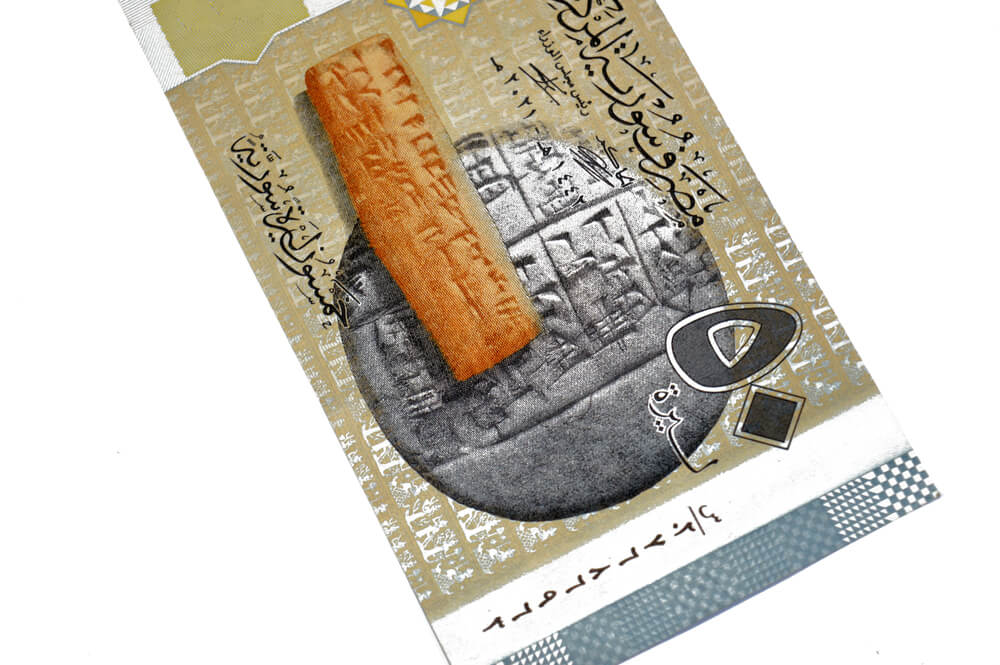
A Syrian farmer plowing near the coast at Minet el-Beida in 1928 struck a stone slab covering an ancient tomb. Excavations led by French archaeologist Claude Schaeffer from 1929 uncovered Ugarit, a wealthy Bronze Age port city at nearby Ras Shamra.
Its archives contained tablets in several languages, including Ugaritic, written in a cuneiform alphabet of about 30 signs, one of the earliest alphabets known. Another tablet preserves the Hurrian hymn, often cited as the oldest substantially complete piece of notated music.
The city was destroyed around 1185 BC and never rebuilt.
Akrotiri Beneath Santorini’s Ash
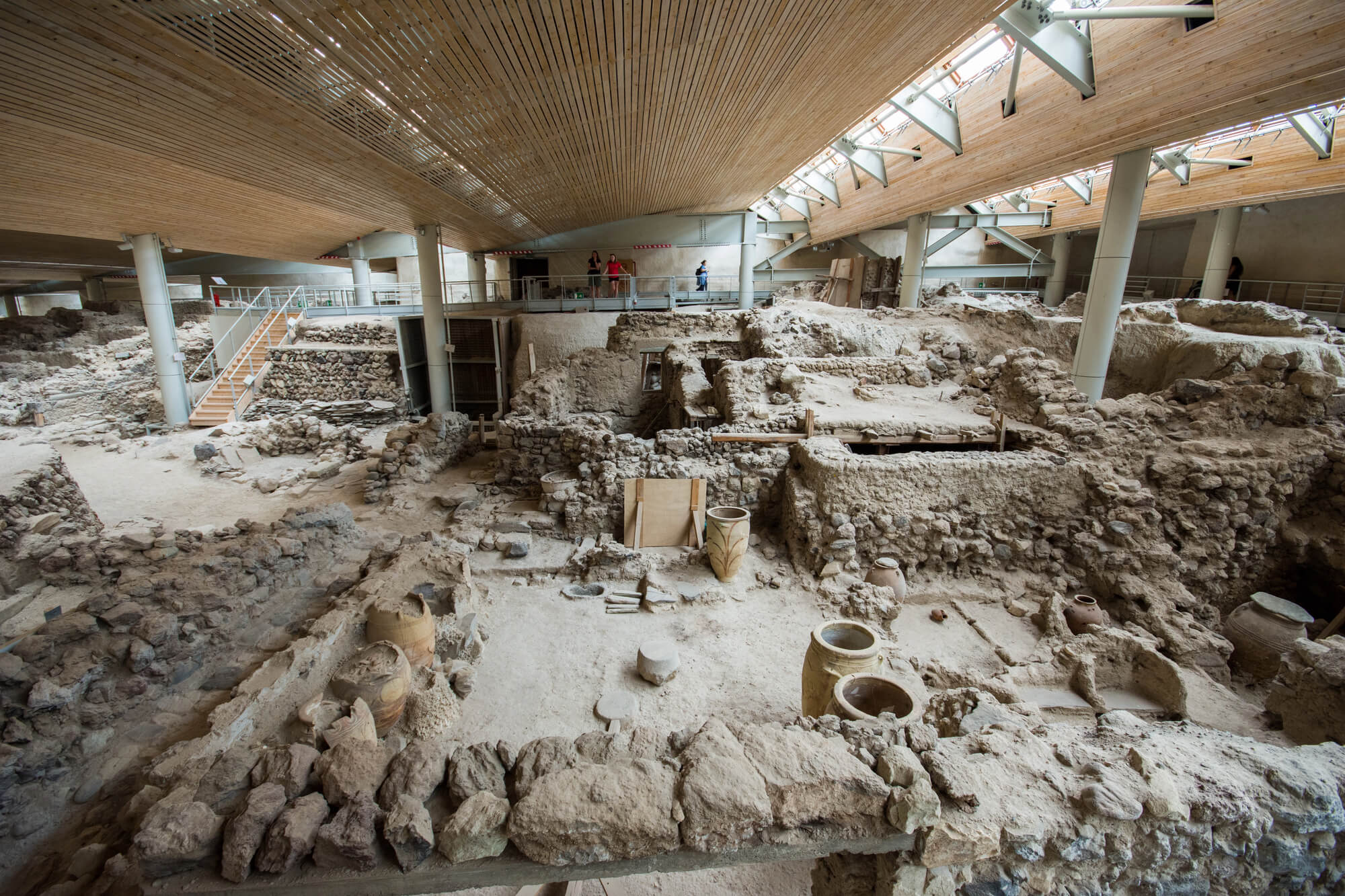
Greek archaeologist Spyridon Marinatos began excavating at Akrotiri on the island of Santorini in 1967, uncovering a Bronze Age town buried by a massive volcanic eruption around the 1600s BC. Multistory buildings, drainage systems and brilliantly colored wall paintings survived under the ash, including scenes of boxing children, swallows and a flotilla of ships.
Unlike Pompeii, almost no human remains have been found, which suggests residents had warning and fled. Valuables were also scarce.
Some writers have linked the town to the legend of Atlantis, though archaeologists treat that idea with caution.
Derinkuyu Behind a Basement Wall
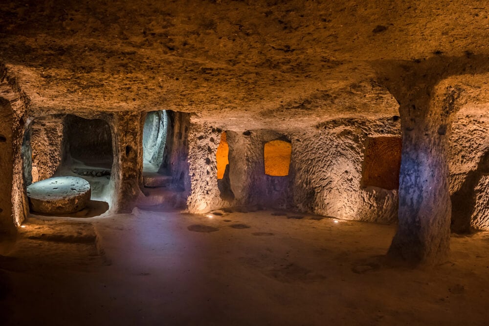
A resident of Derinkuyu in the Cappadocia region of Turkey was renovating his home in 1963 when he knocked through a wall and found a passage leading underground. It opened into a vast underground city carved from soft volcanic rock, with multiple levels reaching depths of roughly 85 meters.
The complex includes ventilation shafts, wells, stables, chapels and huge rolling stone doors that could seal each level from the inside. Estimates suggest it could shelter thousands of people along with their livestock.
Its earliest phases may date back to the first millennium BC.
Ebla and Its Royal Archive
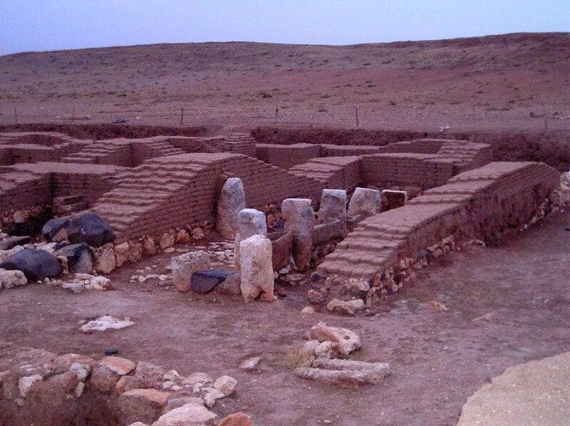
Italian archaeologist Paolo Matthiae began digging at Tell Mardikh in northern Syria in 1964, and by 1968 an inscription confirmed the site was Ebla, a city known only from Mesopotamian texts. In 1974 and 1975, his team found a royal archive of thousands of clay tablets and fragments dating to around the 24th century BC.
The texts revealed a major trading power with its own administration and a previously unknown Semitic language. The archive remains one of the largest from the third millennium BC.
The site suffered damage during the Syrian civil war.
Caral, the Oldest City in the Americas
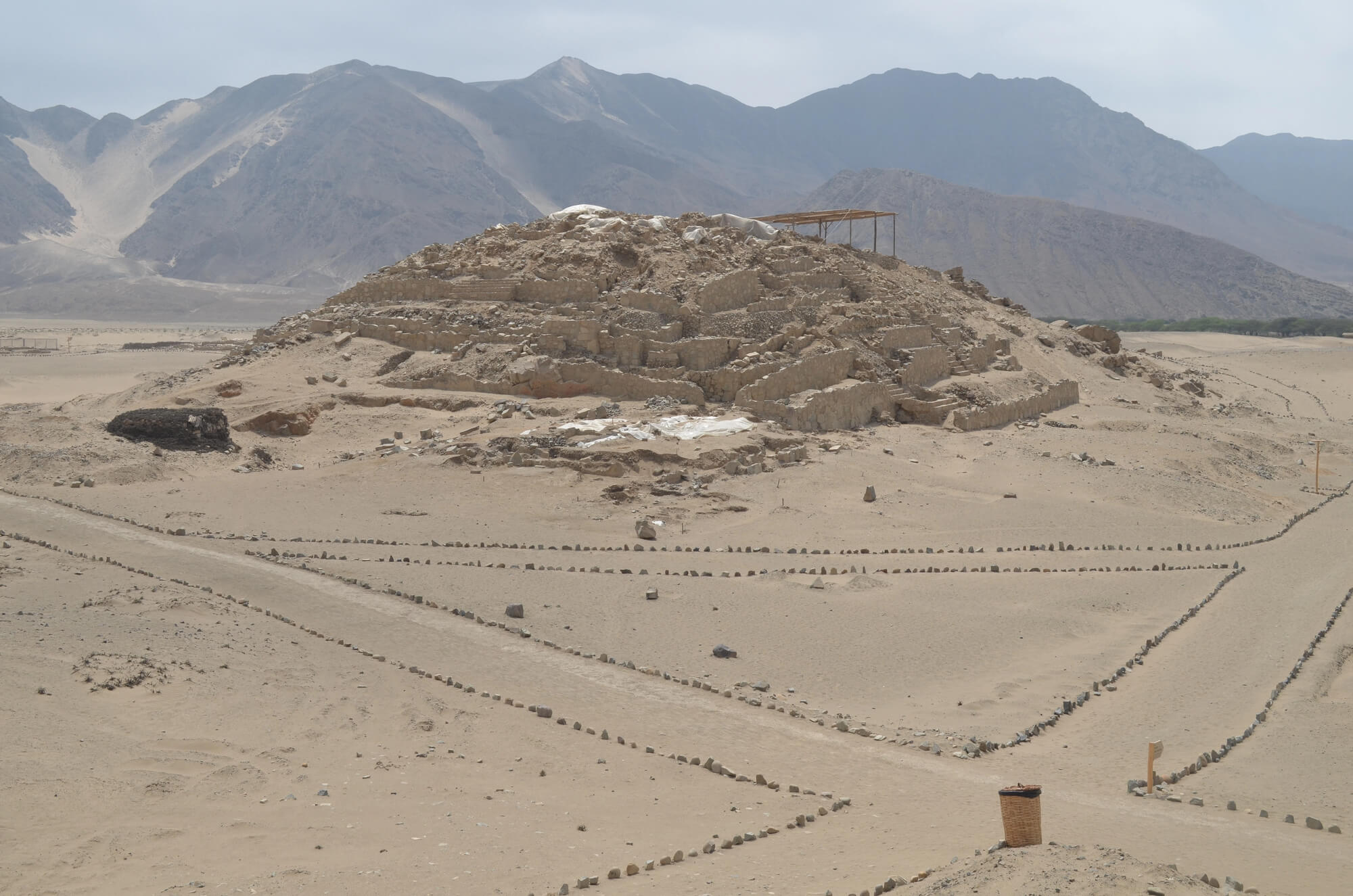
Peruvian archaeologist Ruth Shady began systematic work at Caral in the Supe Valley in 1994, and radiocarbon dates published in 2001 showed its pyramids and plazas were built around 2600 BC. That made Caral roughly contemporary with the pyramids of Egypt and pushed back the date for urban life in the Americas by many centuries.
Excavations found no fortifications or weapons, suggesting a society organized around trade, religion and possibly cotton production rather than warfare. Musical instruments made from condor and pelican bones were also recovered.
UNESCO listed the site in 2009.
Sanxingdui and Its Bronze Masks
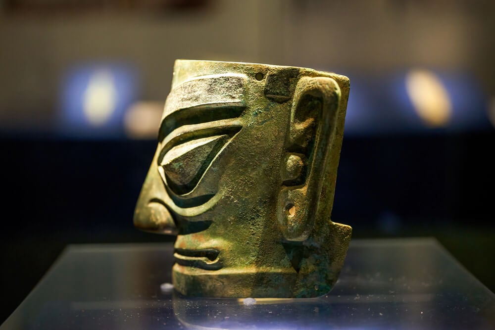
A farmer named Yan Daocheng was digging an irrigation ditch near Guanghan in Sichuan province in 1929 when he found a cache of jade objects. The full significance of the site became clear in 1986, when workers uncovered two sacrificial pits filled with extraordinary bronze heads, masks with protruding eyes and a towering bronze figure.
The Sanxingdui culture flourished roughly 3,000 years ago and looks strikingly different from contemporary Chinese cultures along the Yellow River. New pits found from 2019 onward produced hundreds more artifacts, including gold masks.
Who made them remains a major question.
Mapungubwe and the Golden Rhinoceros

Guided by a local man, a farmer and his son climbed to the top of Mapungubwe Hill in northern South Africa in 1932, where they found gold objects in ancient graves. Excavations by the University of Pretoria revealed the capital of a kingdom that flourished from roughly 1075 to 1220, trading gold and ivory with the Indian Ocean world.
The most famous find is a small rhinoceros made of gold foil over a wooden core. Mapungubwe is regarded as the earliest known state in southern Africa.
The cultural landscape was listed by UNESCO in 2003 and lies within Mapungubwe National Park.
Thonis-Heracleion Under the Mediterranean
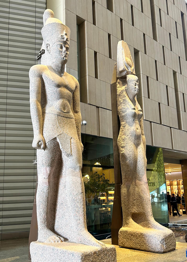
French underwater archaeologist Franck Goddio and his team located the sunken city of Thonis-Heracleion in Abu Qir Bay, off Egypt’s coast, in 2000. The port had been Egypt’s main gateway for Mediterranean trade before Alexandria rose, and it gradually sank after earthquakes, floods and the liquefaction of its soft ground.
Divers have recovered colossal statues of a king, a queen and the god Hapi, along with dozens of ships and hundreds of anchors. A stone stela carrying a royal decree confirmed the city’s identity.
Greek historians had mentioned Heracleion, but its location was unknown.
Pavlopetri Off the Greek Coast
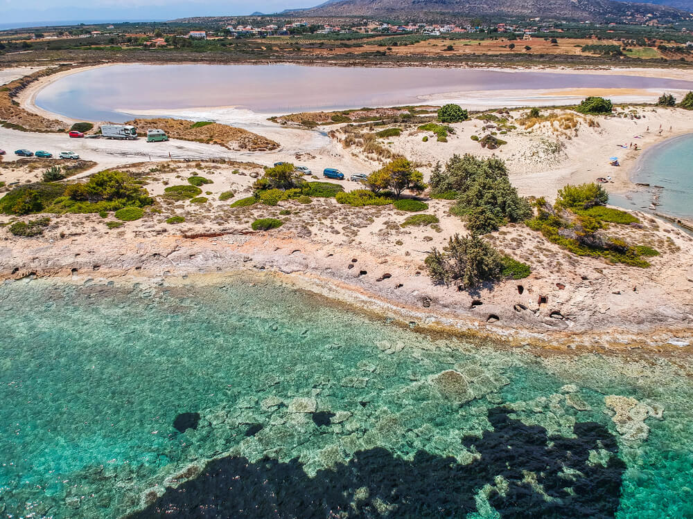
Oceanographer Nicholas Flemming identified the submerged town of Pavlopetri off the southern Laconia coast of Greece in 1967. The site preserves streets, buildings, courtyards and tombs, and occupation stretches back roughly 5,000 years.
It is often described as the oldest known submerged town, sitting in only a few meters of water. Detailed digital mapping by teams from the University of Nottingham and Greek authorities from 2009 onward produced 3D reconstructions of the town.
Swimmers can see the outlines of walls from the surface, which also makes the site vulnerable to anchors and careless visitors.
Ciudad Perdida in Colombia’s Sierra Nevada
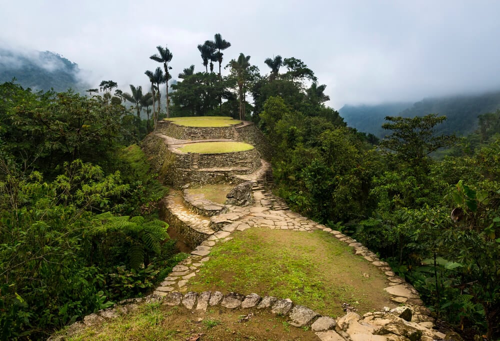
Looters stumbled upon a series of stone terraces deep in the forests of Colombia’s Sierra Nevada de Santa Marta in the early 1970s and began stripping graves of gold and ceramics. Colombian authorities reached the site in 1976.
Known as Ciudad Perdida, or Teyuna, the city was founded around 800 AD, centuries before Machu Picchu. It contains well over a hundred terraces linked by stone paths and a long flight of stone steps.
Indigenous groups in the region, including the Kogi, consider it sacred. Reaching it today requires a multiday trek through the forest.
Mahendraparvata Revealed by Lidar
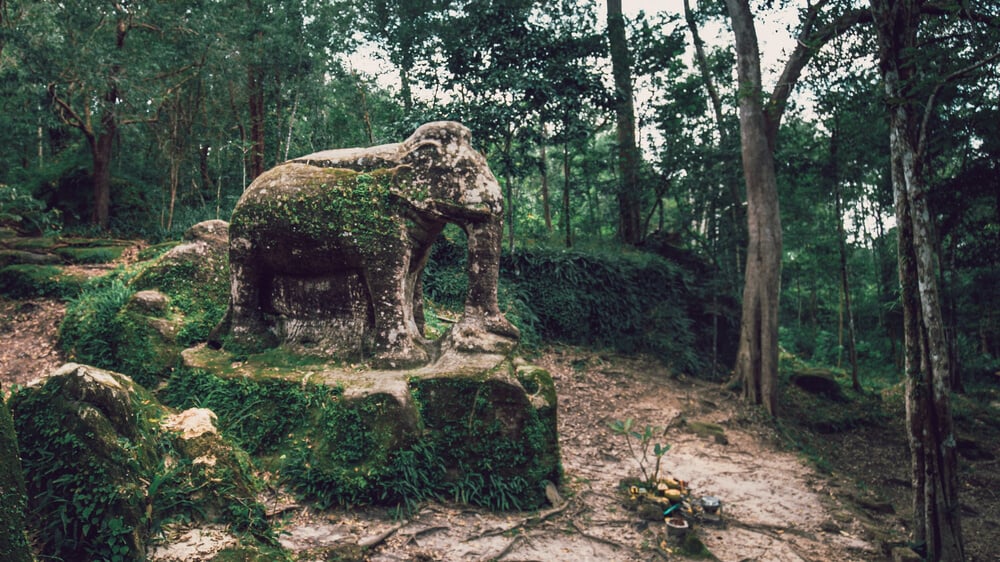
Researchers Jean-Baptiste Chevance and Damian Evans used airborne laser scanning over the Phnom Kulen mountains in Cambodia in 2012 and revealed the layout of Mahendraparvata, a ninth-century Khmer capital hidden under the forest. The scans showed temples, roads, reservoirs and a grid of city blocks that had been invisible from the ground.
Mahendraparvata predates Angkor Wat by roughly three centuries and is associated with Jayavarman II, founder of the Khmer Empire. Later surveys expanded the map further.
The find helped prove how powerful lidar could be for archaeology in dense tropical forest.
Calakmul in the Mexican Rainforest
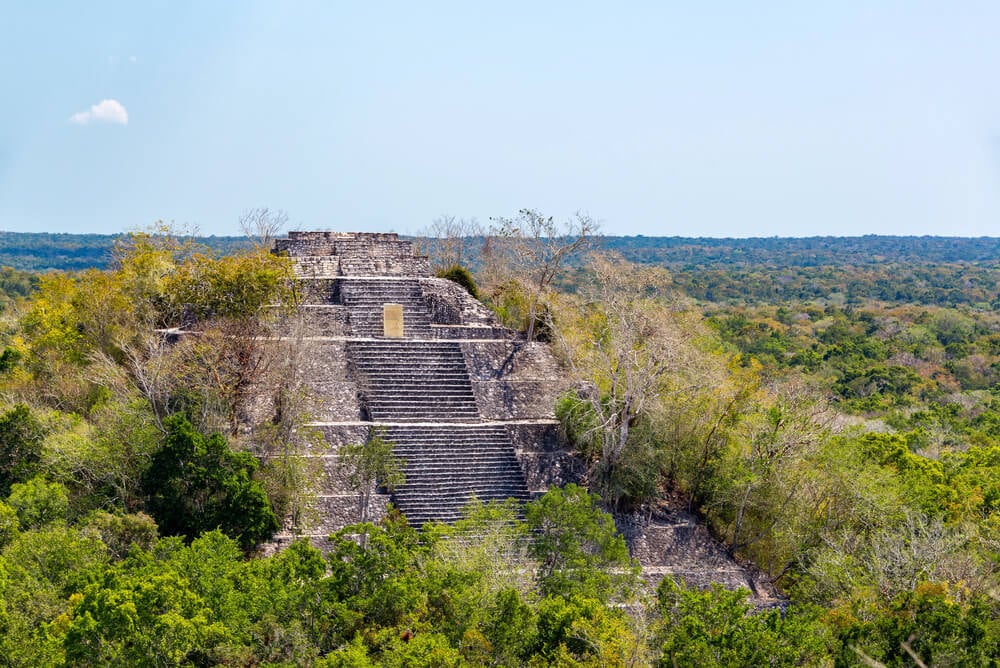
An American botanist surveying the forests of Campeche, Mexico, for chicle trees reported the ruins of Calakmul in 1931. Systematic excavation began decades later and revealed one of the most powerful Maya cities, capital of the Kaan or Snake dynasty and a long-time rival of Tikal.
Two great pyramids rise above the forest canopy, and the site contains more stone monuments called stelae than any other Maya city. Calakmul and its surrounding reserve were listed by UNESCO as a mixed cultural and natural site.
Howler monkeys and jaguars still live in the surrounding forest.
El Mirador in the Guatemalan Jungle
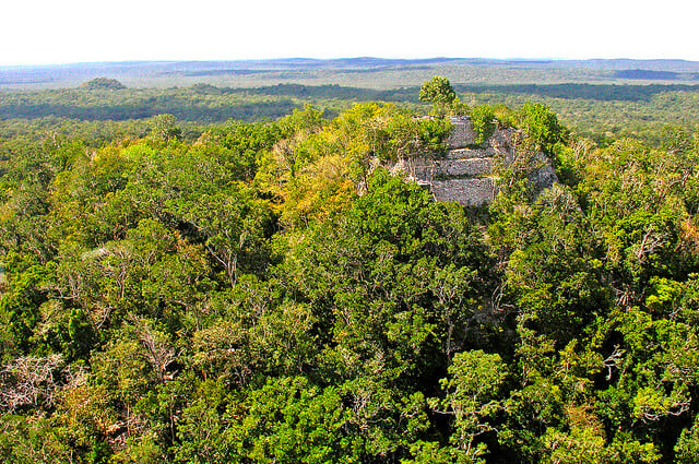
El Mirador, in the remote Peten region of northern Guatemala, was first noted in 1926 and later photographed from the air. Long-term excavations led by archaeologist Richard Hansen revealed that the city flourished in the Preclassic period, centuries before the Maya cities that once defined the civilization.
Its La Danta complex is among the largest ancient structures in the world by volume. A lidar survey published in 2022 mapped hundreds of settlements linked by raised causeways across the region.
The site remains so isolated that most visitors arrive by helicopter or on a multiday hike.
Valeriana Spotted in Old Survey Data
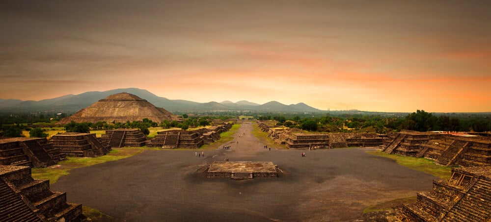
In 2024, Tulane University doctoral student Luke Auld-Thomas announced the discovery of a large Maya city he named Valeriana, after a nearby lagoon in the state of Campeche, Mexico. He found it not by trekking through forest but by analyzing lidar data originally collected for an environmental monitoring project.
The surveyed area contained thousands of previously unknown structures, and Valeriana itself has pyramids, plazas, a reservoir and a court for the Mesoamerican ritual game. The city sits close to a highway and a town, yet nobody had recognized it.
The lesson for archaeologists was that major sites may be hiding in data already on file.
Mari and a Headless Statue
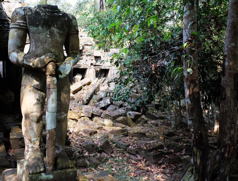
Bedouin digging a grave near Tell Hariri on the Euphrates in eastern Syria in 1933 uncovered a headless stone statue. French archaeologist Andre Parrot began excavating that year and soon confirmed the site was Mari, a powerful Bronze Age city mentioned in Mesopotamian records.
His team found a vast royal palace with hundreds of rooms and an archive of roughly 25,000 clay tablets. The letters describe diplomacy, trade, prophecy and everyday administration in remarkable detail.
Mari was destroyed by Hammurabi of Babylon around 1760 BC. Looting during the Syrian civil war badly damaged the site.
Catalhoyuk, a Town Without Streets
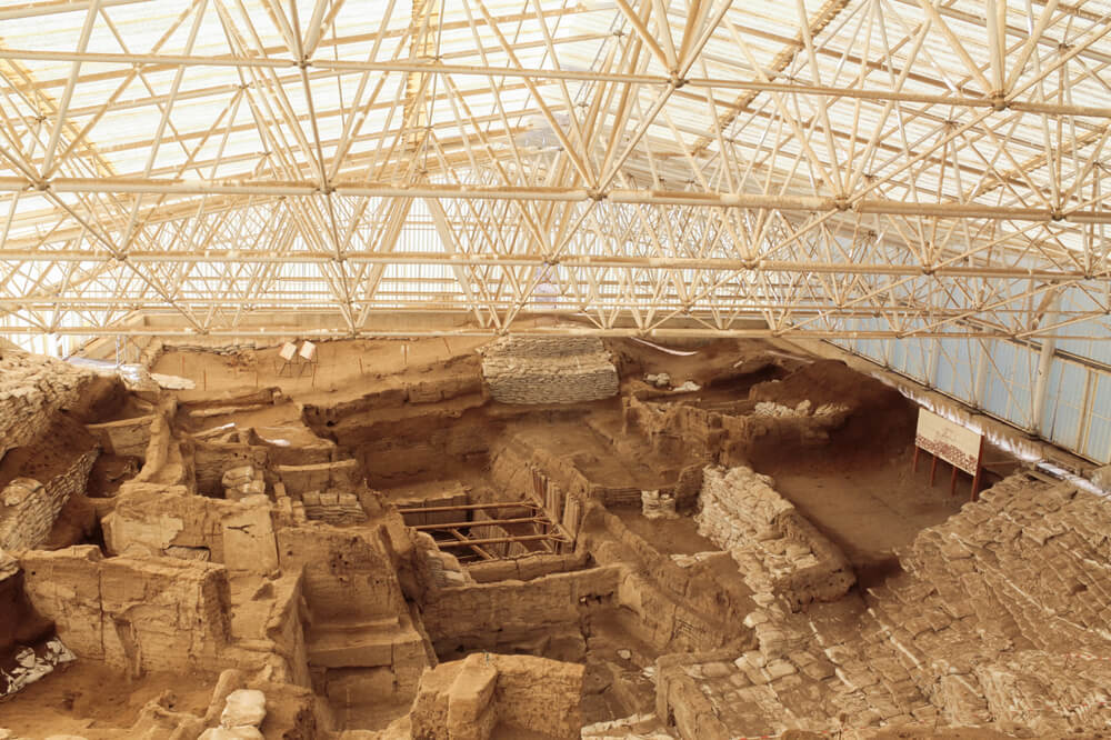
British archaeologist James Mellaart identified the mound of Catalhoyuk on the Konya plain in central Turkey in 1958 and began excavations in the early 1960s. The settlement was occupied from roughly 7400 to 6000 BC and housed several thousand people at its peak.
Its mud-brick houses were packed so tightly that there were no streets, and residents entered through openings in the roofs using ladders. Walls were decorated with paintings and bull horns, and the dead were buried beneath house floors.
UNESCO listed the site in 2012. It remains one of the best-preserved Neolithic settlements known.
Rise of Aten Near Luxor
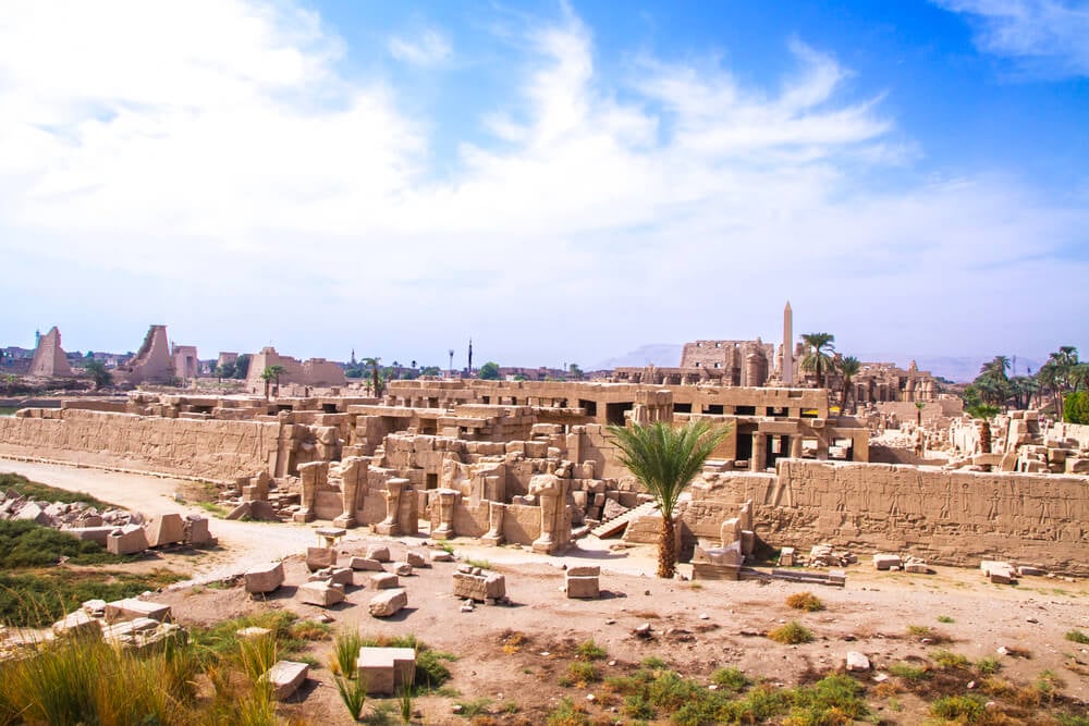
Egyptian archaeologist Zahi Hawass announced in April 2021 that a mission had uncovered a large city on the west bank of the Nile near Luxor, founded under the pharaoh Amenhotep III more than 3,000 years ago. Named the Rise of Aten, the city had mud-brick walls standing up to 3 meters high, a bakery, workshops and residential areas.
Bricks stamped with the king’s seal helped date it. Some commentators called it the most important Egyptian discovery since the tomb of Tutankhamun.
The team had been searching for a mortuary temple when they found the city instead.
Liangzhu and Its Ancient Dams
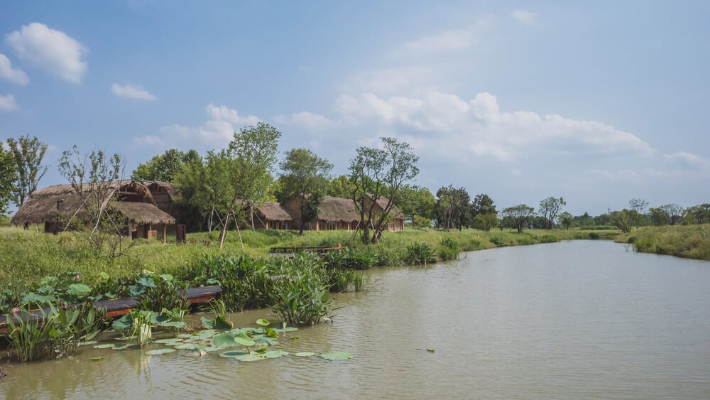
Archaeologist Shi Xingeng first identified Liangzhu culture artifacts near Hangzhou in eastern China in 1936. The full scale of the site emerged much later, when excavations from 2007 revealed city walls enclosing roughly 3 square kilometers.
Researchers later identified a system of dams and levees around the city, built around 5,000 years ago and considered among the earliest large-scale water management systems in the world. The Liangzhu elite produced exquisite jade objects.
UNESCO listed the archaeological ruins in 2019, recognizing them as evidence of an early state society in China.
Shimao, a Stone City in Northern China
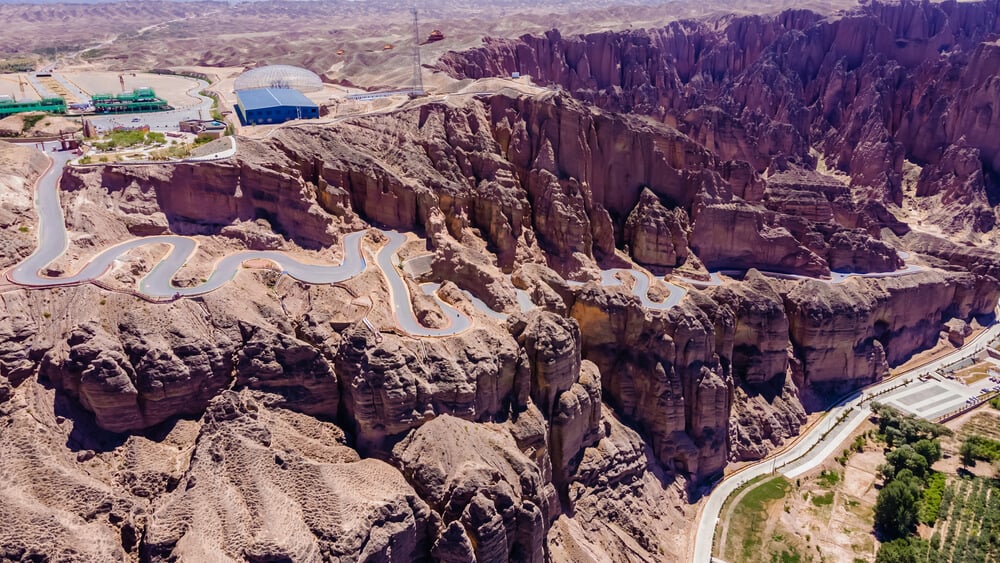
Shimao, on the Loess Plateau in Shaanxi province, had long been known locally, but large-scale excavations beginning around 2011 revealed it as one of the largest walled settlements in prehistoric China. Built roughly 4,300 years ago, it was enclosed by stone walls extending for kilometers, with a massive stepped pyramid at its center.
Archaeologists found carved stone reliefs, jade objects set into the walls and evidence of human sacrifice near the main gate. The discovery challenged the long-held view that early Chinese civilization developed mainly in the central plains.
Its builders remain largely mysterious.
Dholavira in the Gujarat Salt Desert
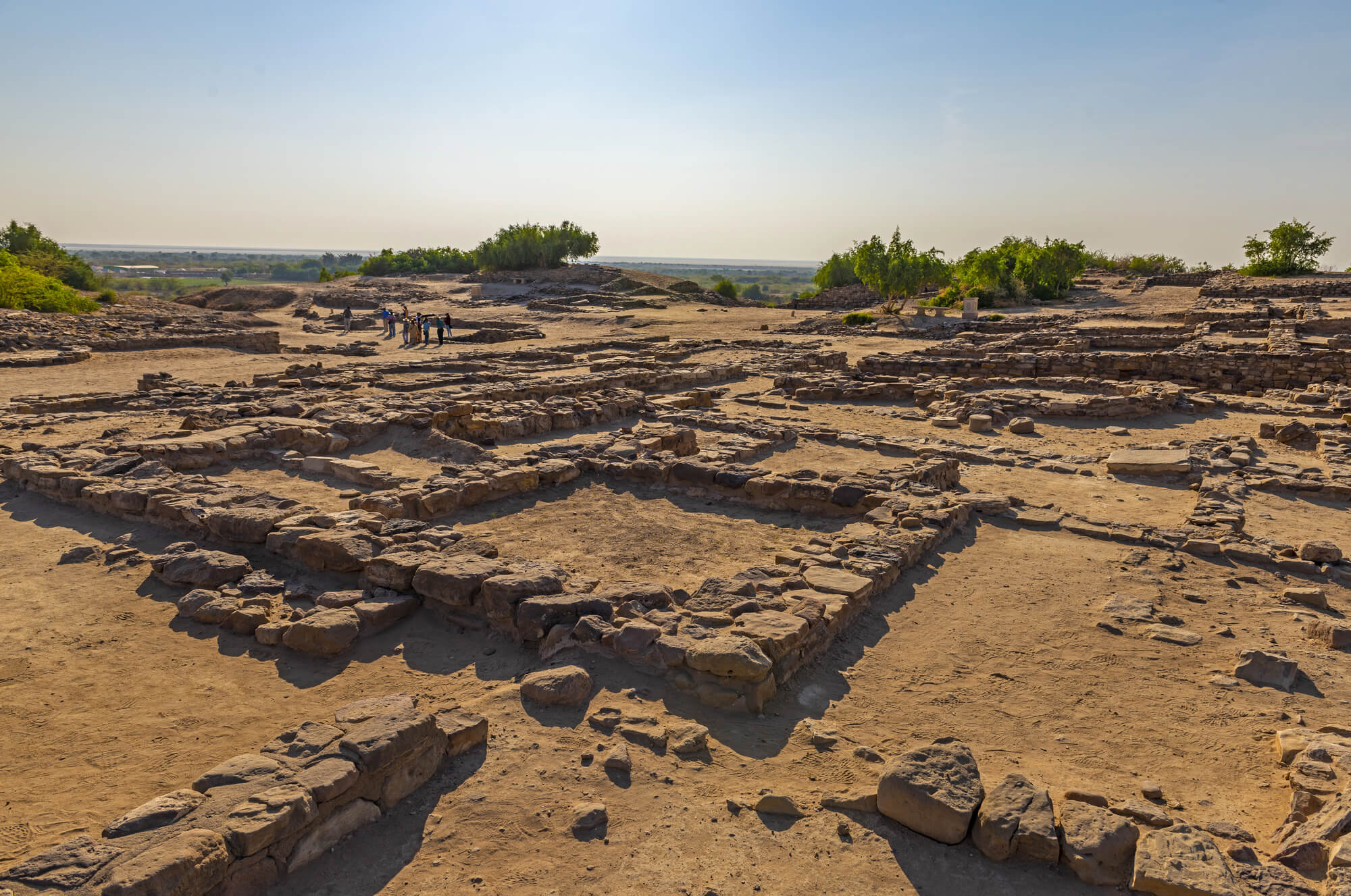
Archaeologist J. P. Joshi identified Dholavira on Khadir island in the Rann of Kutch, Gujarat, in 1967 and 1968, and large-scale excavation led by R. S. Bisht began in 1990. The Indus Valley city flourished from around 3000 BC and stands out for its elaborate water conservation system of channels and stone reservoirs in a dry landscape.
Excavators also found a large inscription of ten Indus script signs, sometimes called the world’s oldest signboard. UNESCO listed Dholavira as a World Heritage Site in 2021.
The script itself remains undeciphered.
Gonur Tepe in the Karakum Desert
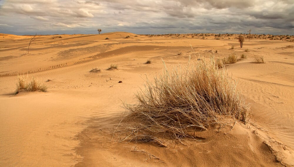
Soviet archaeologist Viktor Sarianidi began investigating Gonur Tepe in the Karakum Desert of Turkmenistan in the 1970s and spent decades excavating there. The site was a major center of the Bronze Age culture known as the Bactria-Margiana Archaeological Complex, occupied from around 2400 BC.
Excavations revealed a fortified palace, temples, water reservoirs and elaborate burials, including graves containing wagons and animals. Sarianidi argued that some structures were early fire temples.
The surrounding Murghab River delta has since shifted, leaving the site isolated in the desert.
Arkaim Saved From a Reservoir
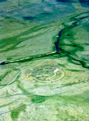
Archaeologists surveying land in the Chelyabinsk region of Russia’s southern Urals in 1987 found Arkaim, a circular fortified settlement, just before the area was due to be flooded for a reservoir. The discovery prompted a campaign that stopped the flooding project.
Arkaim belongs to the Sintashta culture of roughly 2000 BC and consisted of concentric rings of houses inside defensive walls. The Sintashta people are associated with some of the earliest known spoked-wheel chariots.
The site is now a protected reserve and draws both researchers and visitors drawn to its unusual layout.
Upano Valley Cities in the Amazon
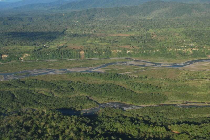
In January 2024, a team led by archaeologist Stephen Rostain published a study in the journal Science describing a network of ancient settlements in the Upano Valley of eastern Ecuador. Lidar surveys revealed thousands of earthen platforms, plazas, farmland and long, straight roads, occupied from roughly 500 BC to between 300 and 600 AD.
The findings make the valley one of the oldest and largest known examples of urban settlement in the Amazon. Rostain had worked in the area for decades before the scans showed the full picture.
The study challenged older views of the Amazon as a largely untouched wilderness.
Helike, the Lost City of Poseidon
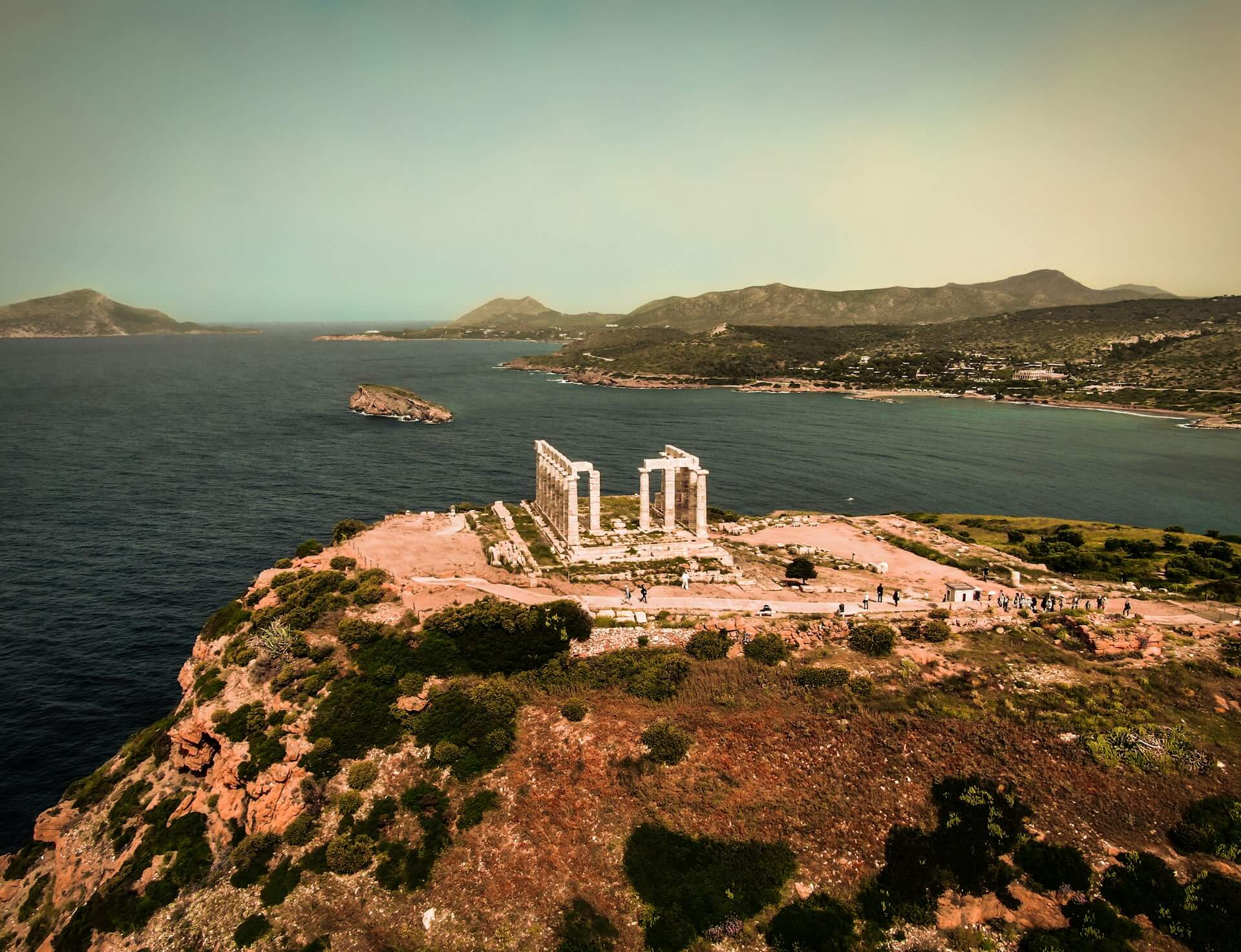
Ancient writers described how the Greek city of Helike, a center of the worship of Poseidon on the Gulf of Corinth, was destroyed by an earthquake and tsunami in 373 BC. Its location was lost for centuries.
In 2001, archaeologist Dora Katsonopoulou and physicist Steven Soter announced they had found ruins of the classical city buried in a coastal lagoon area rather than under the sea, as many had assumed. Excavations have also revealed an Early Bronze Age town in the area.
The disaster may have helped inspire later stories of cities swallowed by the sea.
Shahr-e Sukhteh, the Burnt City of Iran
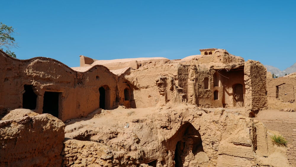
Shahr-e Sukhteh in southeastern Iran was explored in the early 20th century and systematically excavated from 1967 by an Italian team led by Maurizio Tosi. The Bronze Age city, founded around 3200 BC, was repeatedly burned during its history, which gave it the name Burnt City.
Excavators found what may be one of the earliest known artificial eyes, made of a lightweight material and placed in the eye socket of a woman buried there. Other finds include an ancient game board with dice and a pottery cup with drawings of a goat that some describe as early animation.
UNESCO listed the site in 2014.
Mosquitia Ruins and the White City Legend
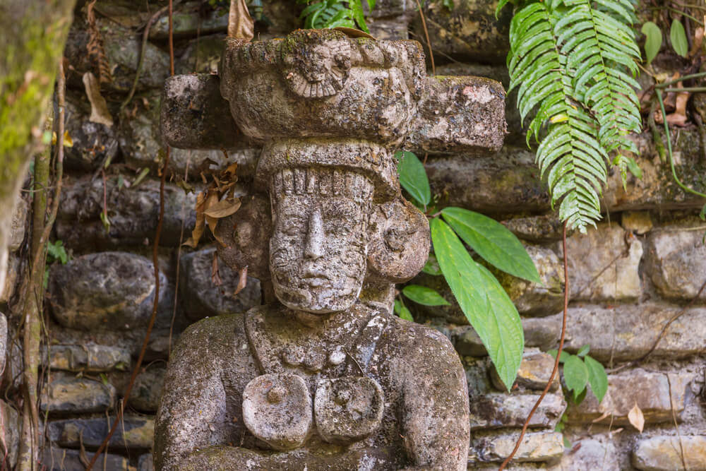
For centuries, stories told of a lost White City hidden in the Mosquitia rainforest of eastern Honduras. In 2012, a team including documentary filmmaker Steve Elkins flew lidar surveys over unexplored valleys and identified the remains of extensive ancient settlements.
A 2015 expedition reached one site and found a cache of stone sculptures, including a figure described as a were-jaguar. Writer Douglas Preston described the expedition in his book The Lost City of the Monkey God, including the tropical parasite infection that sickened several team members.
The ruins belong to a culture that is still poorly understood.
Buried Streets and Borrowed Certainty
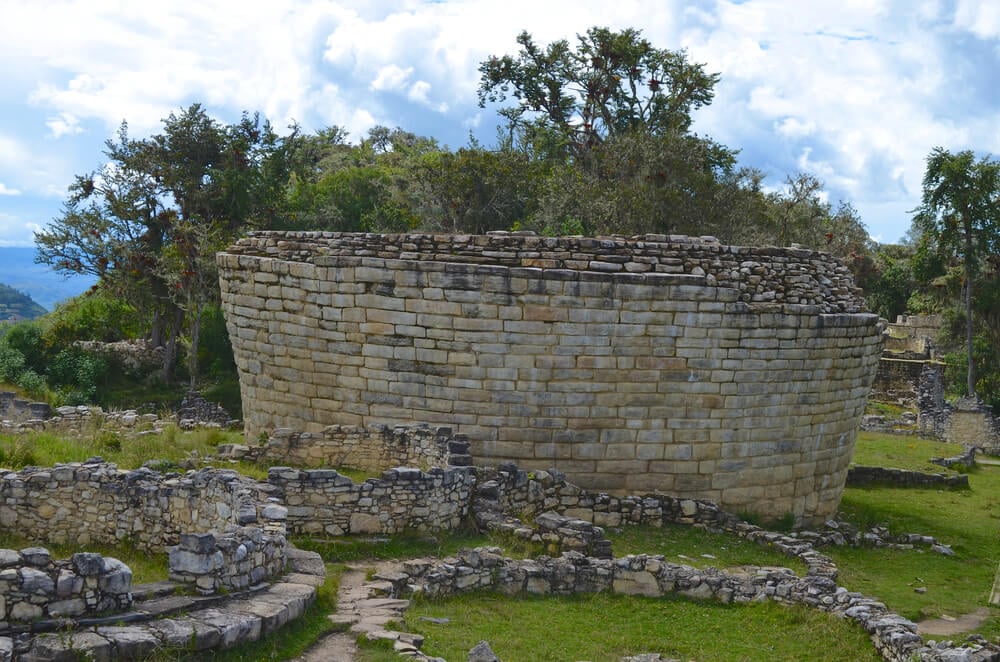
Each of these discoveries arrived as a correction. Historians had confidently described where cities began, which regions were empty and which cultures were too small to matter, and then a plow, a flood survey or a laser scan proved them wrong.
The past keeps more surprises than the textbooks admit. Lidar alone has transformed the search, revealing cities under forests that explorers walked past for generations.
More discoveries are certain, especially in the Amazon, Central America and Southeast Asia. A century from now, this list will probably look incomplete.
More from Go2Tutors!

- The Romanov Crown Jewels and Their Tragic Fate
- 13 Historical Mysteries That Science Still Can’t Solve
- Famous Hoaxes That Fooled the World for Years
- 15 Child Stars with Tragic Adult Lives
- 16 Famous Jewelry Pieces in History
Like Go2Tutors’s content? Follow us on MSN.