30 Inventions Behind Modern Weather Forecasts
A forecast that tells you to carry an umbrella rests on centuries of instruments, theories and machines. Early scientists measured air pressure with glass tubes, while modern forecasters rely on satellites and supercomputers. Each tool filled a gap in what people could observe or predict.
The inventions here are not all famous, but each helped push forecasting from guesswork toward science. Together they explain why a three-day forecast today is more accurate than a one-day forecast was a century ago.
The Barometer
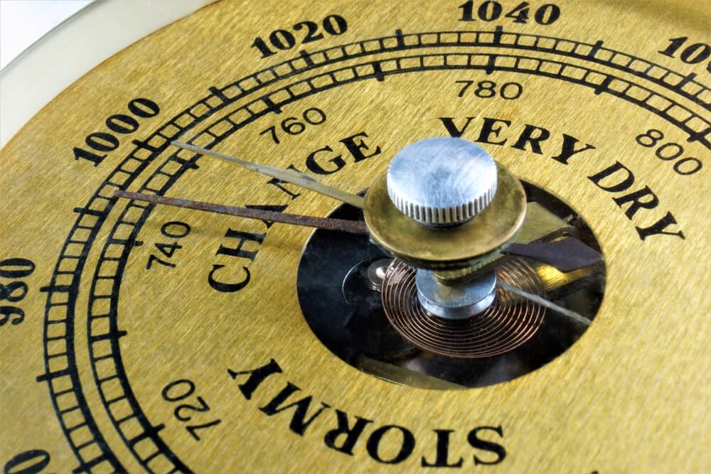
Evangelista Torricelli built the first mercury barometer in 1643 and showed that air has weight. Falling pressure soon became linked with approaching storms. Barometers remain one of the most basic forecasting tools.
The Mercury Thermometer
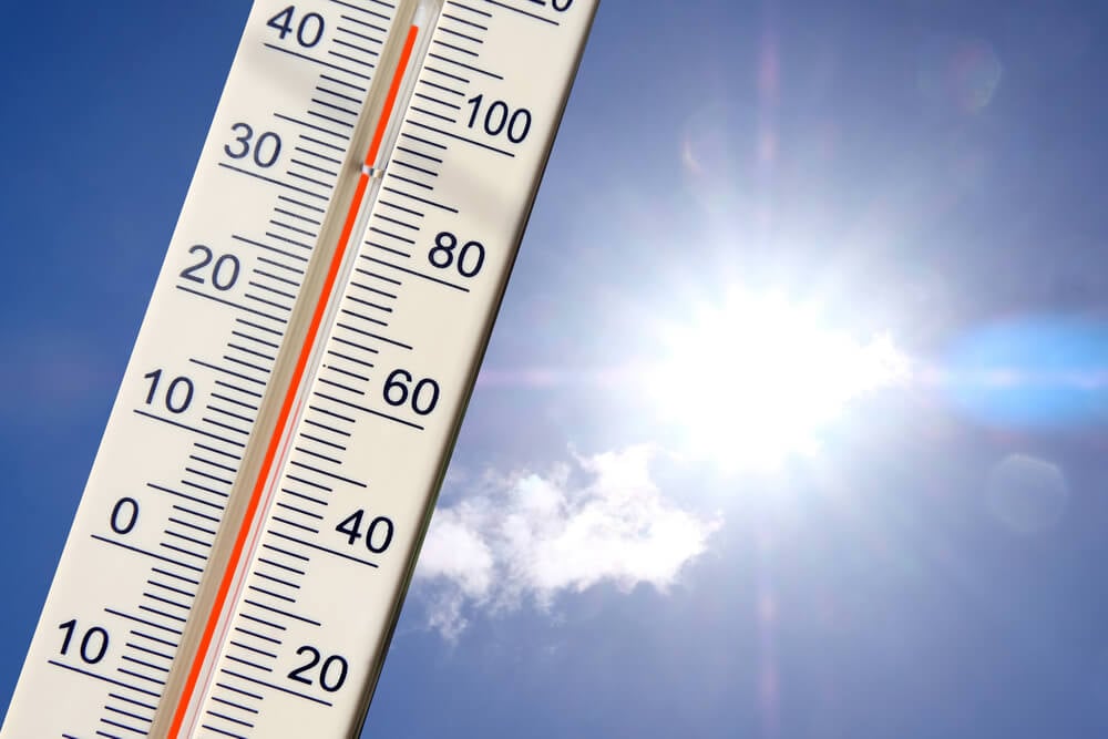
Daniel Gabriel Fahrenheit introduced a reliable mercury thermometer in 1714, along with a temperature scale. Consistent readings allowed observers in different places to compare their records. Systematic temperature data became possible for the first time.
The Hair Hygrometer
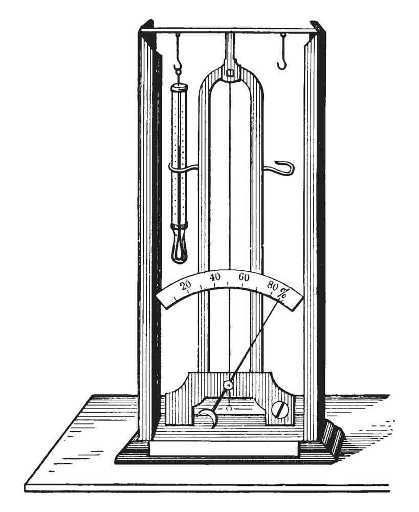
Horace-Bénédict de Saussure built a hygrometer in 1783 that used a human hair, which lengthens as humidity rises. The instrument gave observers a practical way to track moisture in the air. Humidity measurement is essential for predicting fog, clouds and rain.
The Anemometer
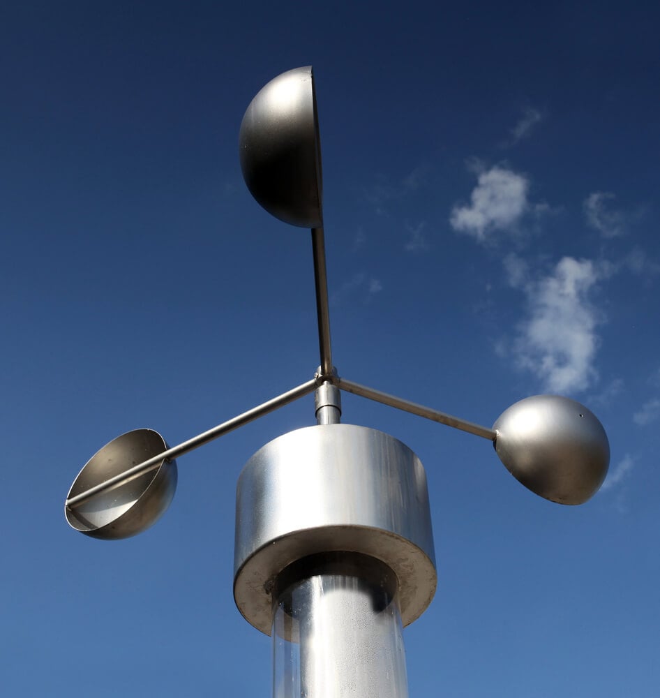
Leon Battista Alberti described a swinging-plate wind gauge around 1450, and Thomas Romney Robinson introduced the rotating cup anemometer in 1846. The cup design is still familiar on weather stations today. Wind speed is a core measurement in any forecast.
The Rain Gauge
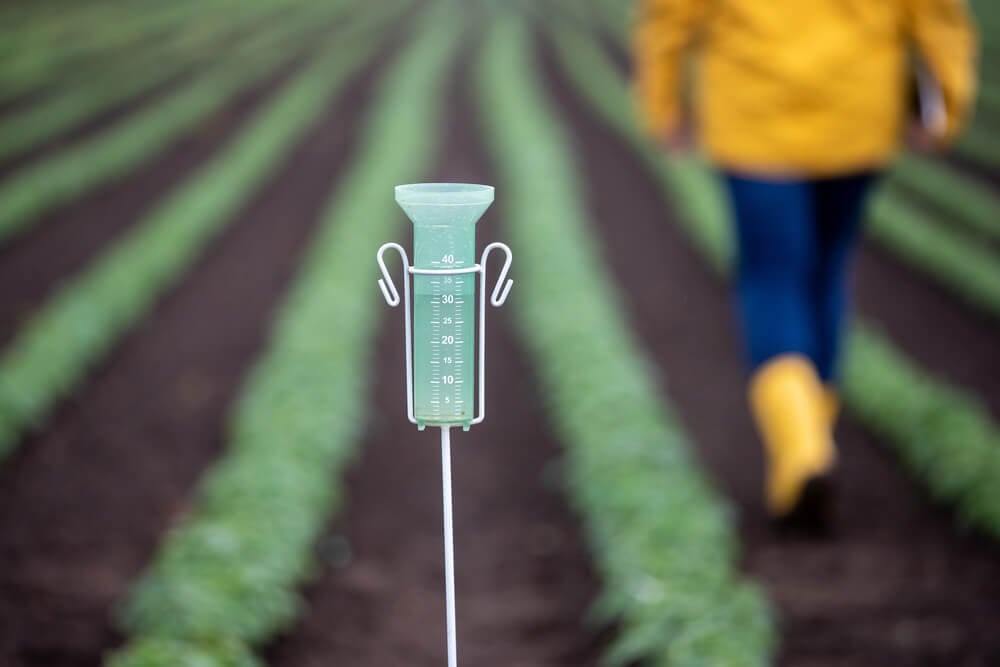
In 1441, during the reign of King Sejong in Korea, a standardized rain gauge called the cheugugi was distributed across the kingdom. Officials measured rainfall consistently and reported it to the capital. It is among the earliest known systematic rainfall networks.
The Aneroid Barometer
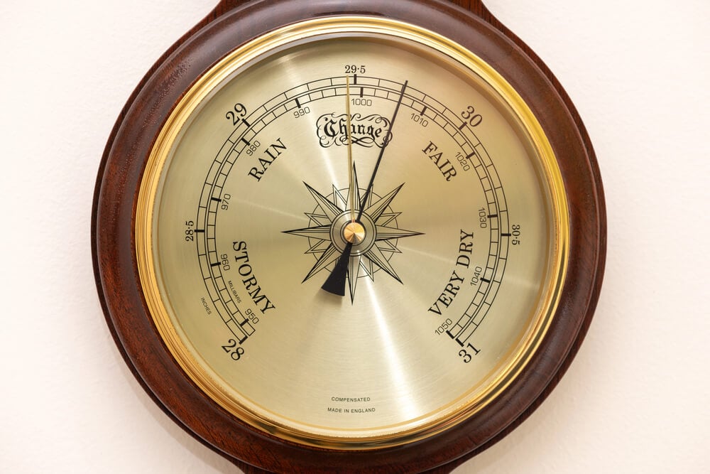
Lucien Vidi patented the aneroid barometer in 1844, which measures pressure without liquid mercury. Its compact, portable design made it practical on ships and in the field. Many home barometers still use the same mechanism.
The Beaufort Scale
Francis Beaufort devised a scale of wind force at sea in 1805, based on the effect of wind on sails. Later adaptations described effects on land. The scale gave sailors and forecasters a shared language for wind strength.
The Telegraph
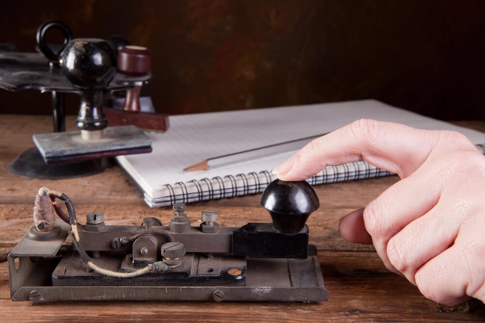
After Samuel Morse sent his first message in 1844, weather observations could move faster than the storms themselves. The Smithsonian Institution began collecting telegraphed reports from observers in the 1850s. Rapid communication made real-time weather mapping possible.
The Weather Map
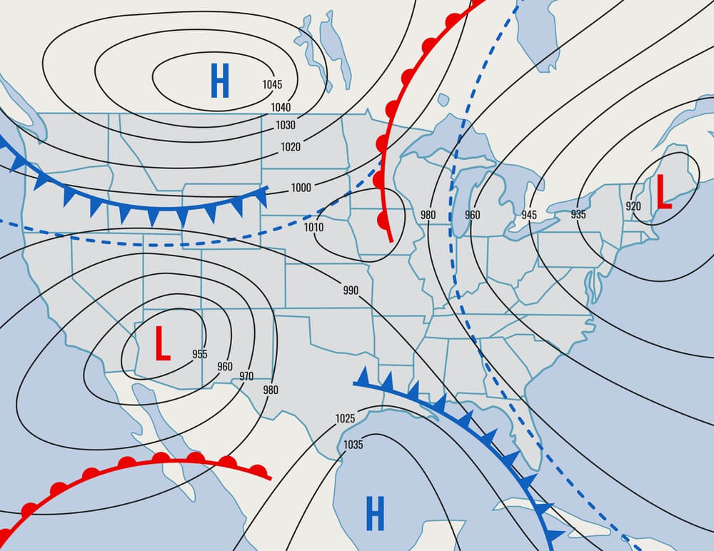
German scientist Heinrich Brandes drew some of the earliest synoptic weather maps in the early nineteenth century by plotting data from a past event. Later maps were drawn from telegraph reports in near real time. They revealed the movement of storm systems across regions.
The Stevenson Screen
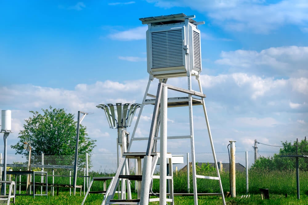
Thomas Stevenson designed a louvered box in the 1860s that shields thermometers from direct sunlight and rain while allowing air to flow. Standardized housings allowed temperature readings from different stations to be compared. The white slatted boxes remain a familiar sight at weather stations.
The Army Signal Service
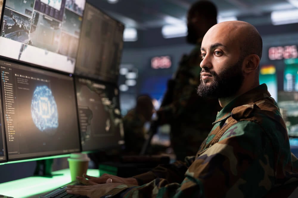
In 1870, the United States gave the Army Signal Service the task of collecting weather observations and issuing forecasts. It built a network of stations linked by telegraph. The effort became the foundation for the national weather service.
Meteorograph Kites
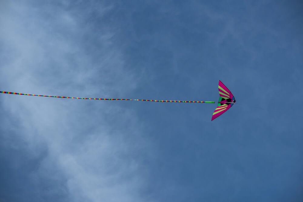
In the 1890s, the Weather Bureau flew kites carrying recording instruments to measure conditions high above the ground. The data showed how temperature and pressure changed with altitude. Upper-air knowledge became a vital piece of forecasting.
The Radiosonde
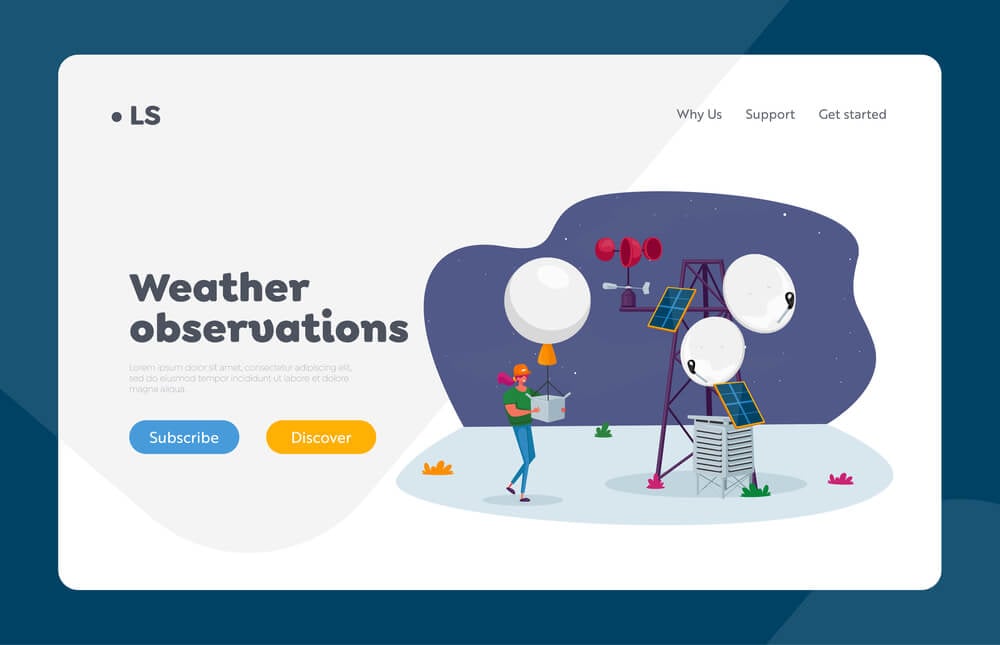
Pavel Molchanov launched the first radiosonde in the Soviet Union in 1930, a small package that radioed temperature, pressure and humidity readings back to the ground. Gas-filled envelopes carried it high into the atmosphere. Sondes are still launched twice daily from stations around the world.
Hurricane Hunter Flights
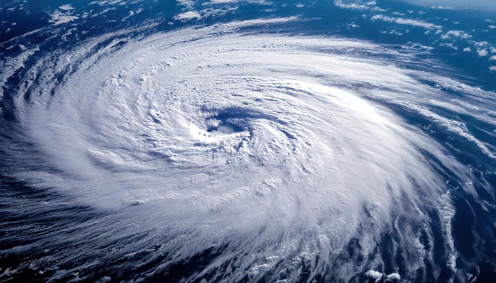
On July 27, 1943, Colonel Joseph Duckworth flew a small training aircraft into a hurricane near the Texas coast, proving that planes could survive and study such storms. Reconnaissance flights followed. Direct measurement of storm centers improved track and intensity forecasts.
Weather Radar
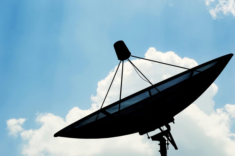
Radar operators during the Second World War noticed rain showing up as unwanted echoes on their screens. Meteorologists realized the same signal could track precipitation. Weather radar soon became a cornerstone of storm monitoring.
Doppler Radar
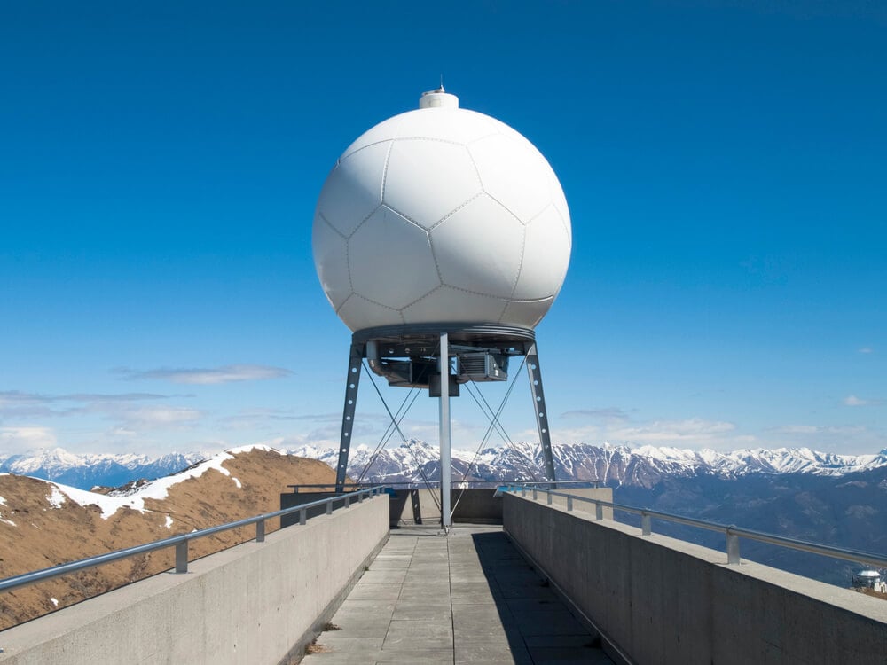
Doppler radar measures the motion of raindrops toward or away from the antenna, revealing wind patterns within storms. The United States deployed its NEXRAD network in the 1990s. Rotation inside thunderstorms can now be detected, which has improved tornado warnings.
TIROS-1
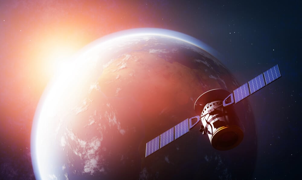
The first weather satellite, TIROS-1, launched on April 1, 1960, and sent back television images of cloud patterns from orbit. Forecasters could see storm systems in full for the first time. Satellites quickly became essential for tracking hurricanes.
Geostationary Weather Satellites
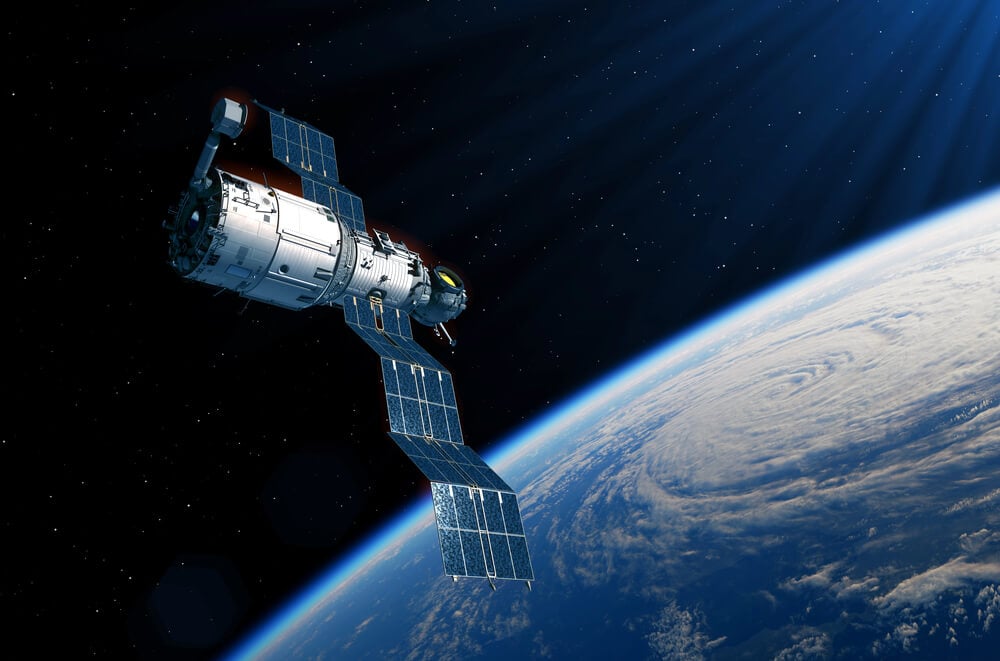
Satellites parked over a fixed point above the equator can watch the same region continuously. The GOES series, beginning in 1975, provided constant imagery of North America. Looping images of storms became part of everyday forecasting.
Richardson’s Forecast Factory
In 1922, Lewis Fry Richardson published a method of predicting weather through numerical calculation. He imagined a large hall filled with human calculators working in coordination. The idea was far ahead of its time, since no machine could do the work.
The ENIAC Forecasts
In 1950, a team led by Jule Charney used the ENIAC computer to produce numerical weather forecasts. The calculations took about as long as the weather they were predicting. They proved that computers could make useful forecasts.
The Lorenz Discovery
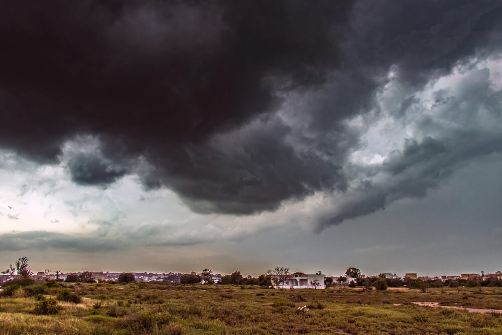
Edward Lorenz found in the early 1960s that tiny differences in initial numbers could lead to wildly different forecasts. His work helped create chaos theory. It also explained why weather predictions lose accuracy beyond about a week or two.
Ensemble Forecasting
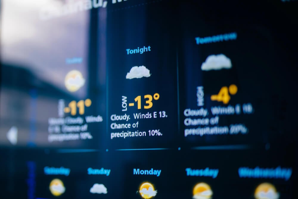
Operational centers began running ensemble forecasts in 1992, producing many versions of a forecast from slightly varied initial conditions. The spread of results shows how confident a forecast should be. Probabilities such as a seventy percent chance of rain come from this approach.
Supercomputers
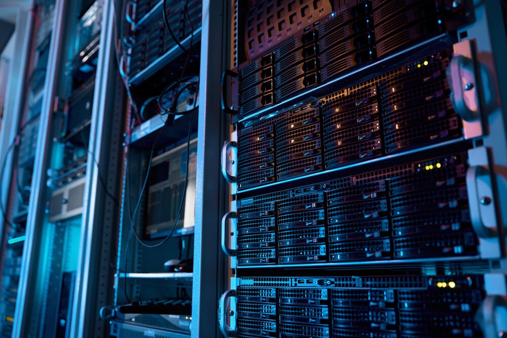
The European Centre for Medium-Range Weather Forecasts issued its first operational forecasts in 1979 using powerful computers. Faster machines allowed models with finer detail. Forecast skill has climbed steadily with each new generation of computing.
Moored Weather Buoys

Buoys anchored at sea measure wind, wave height, pressure and temperature. Their reports fill the large data gaps over oceans where storms form. Hurricane forecasts depend on this offshore data.
Argo Floats
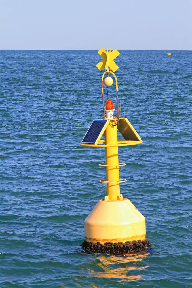
Beginning in 2000, thousands of drifting Argo floats have measured the temperature and salinity of the upper ocean. They dive and surface on a regular schedule, transmitting data by satellite. Ocean heat content affects seasonal forecasts and storm intensity.
Automated Surface Observing Systems
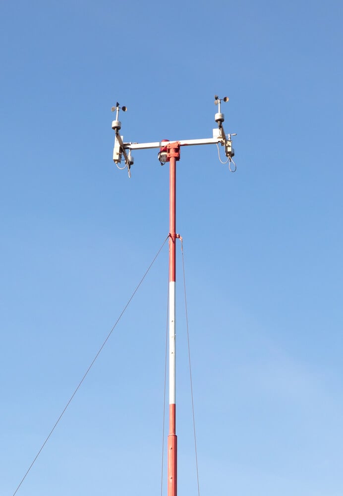
Automated stations were deployed across the United States in the 1990s at airports and other sites. They report temperature, wind, visibility and precipitation around the clock. Consistent data feed directly into forecasting models.
Lightning Detection Networks
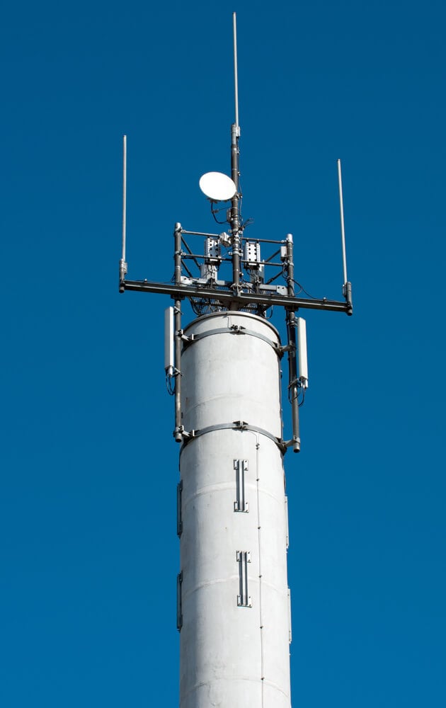
Networks of sensors locate lightning strikes by timing radio signals as they reach different stations. The data warn of approaching thunderstorms and help utilities and airports. Lightning maps are updated in near real time.
NOAA Weather Radio
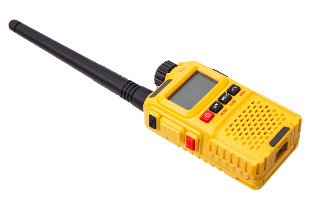
Weather radio broadcasts forecasts and warnings continuously, with alarm tones for emergencies. It reaches rural areas where other communications may be limited. Many people rely on it during severe weather.
The World Weather Watch
The World Meteorological Organization launched the World Weather Watch in 1963 to link observation, communication and forecasting across countries. Nations agreed to share data freely. A storm forming in one region can now be tracked by forecasters around the world.
Wireless Emergency Alerts

In 2012, wireless carriers began sending emergency alerts directly to mobile phones. Tornado warnings and flash flood alerts can reach people in a specific area within seconds. The system turned forecasts into immediate action.
Forecasts Built on Shared Observation
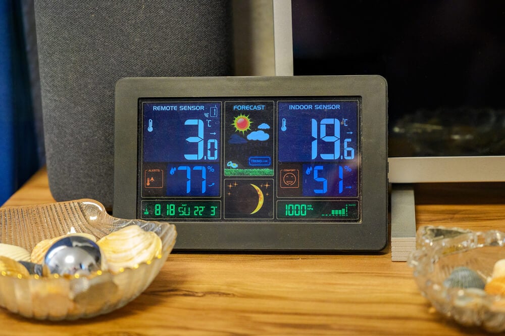
No single invention made forecasting accurate. Each instrument, network and algorithm added another piece to the picture. The progress came from many people measuring the same sky from different angles.
That cooperation continues every day, as observers around the planet feed data into shared models. Forecast errors still happen, but they are smaller and less frequent than ever before. The next time the forecast is right, a long chain of inventions deserves some of the credit.
More from Go2Tutors!

- 27 Silver Dollars and Half Dollars Worth Keeping
- 28 Restaurant Menu Items Nobody Orders Anymore
- 17 Places Built in Seemingly Impossible Spots
- 27 Vintage Rings Worth More Than They Look
- 25 Restricted Sites Tourists Can’t Enter
Like Go2Tutors’s content? Follow us on MSN.