America’s Changing Border Crossings in Old Photos
Old photographs of border crossings tend to look strangely casual. A bridge, a small booth, a couple of officers, and a line of cars that seems short by modern standards. Behind that simplicity sits a century of steady change in how the United States handles its edges.
Some of these places were built to celebrate friendship, others to move traffic, and a few simply ended up in an odd spot on the map. Together they show how a boundary can be a monument, a bottleneck, and a front door all at once.
The Ambassador Bridge Opens Between Detroit and Windsor
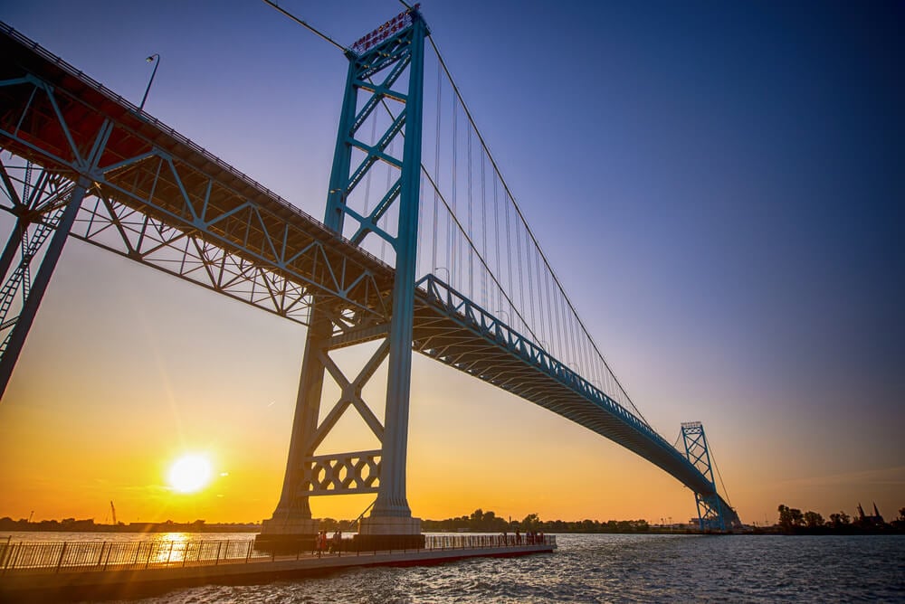
When the Ambassador Bridge opened in 1929, its main span of 1,850 feet made it the longest suspension span in the world. The structure linked Detroit and Windsor at a moment when the auto industry was binding the two cities into one economic neighborhood.
It has remained privately owned ever since, an unusual arrangement for a major international crossing. Its opening gave a river long crossed by ferries a permanent roadway.
The Peace Bridge Dedication at Buffalo and Fort Erie
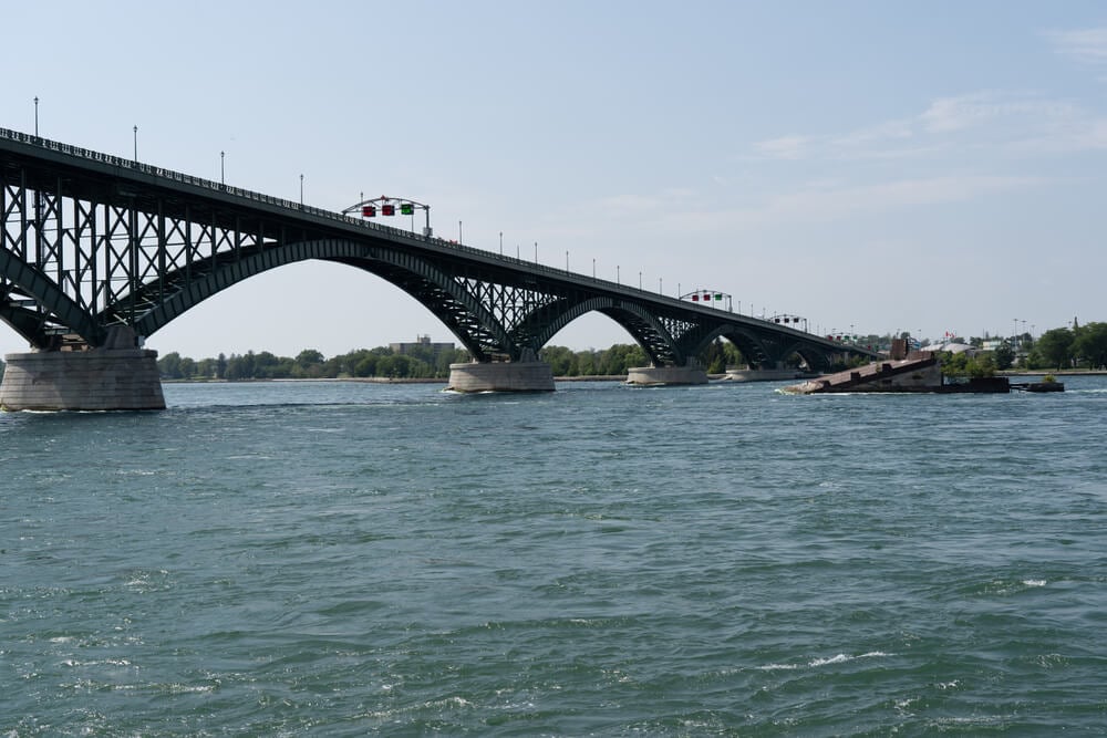
The Peace Bridge across the Niagara River was dedicated on August 7, 1927, with the Prince of Wales and Vice President Charles Dawes among the dignitaries on hand. It joined Buffalo, New York, to Fort Erie, Ontario, and was built to mark a century of peace between the United States and Canada.
The name was not subtle, and neither was the crowd that turned out for the ceremony. Thousands gathered to watch two countries open a bridge between them with speeches rather than checkpoints.
The Peace Arch at Blaine
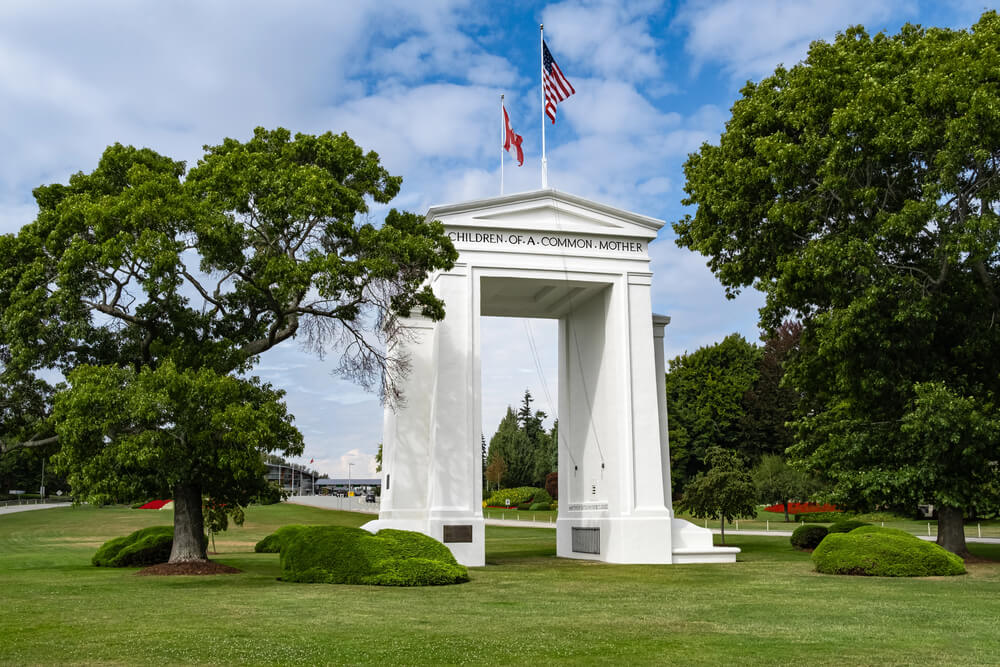
The Peace Arch was dedicated in 1921 on the boundary between Blaine, Washington, and Surrey, British Columbia. Its gates carry the phrase “May these gates never be closed,” a line that has been repeated at gatherings there for a century.
The monument sits inside a park that straddles the border, which made it a favorite meeting spot for families separated by the line. Few crossing sites in the world were designed first as a celebration and only later became a place to wait in traffic.
The Library Where the Line Runs Through the Reading Room

The Haskell Free Library and Opera House opened in 1904 and sits on the boundary between Derby Line, Vermont, and Stanstead, Quebec. A black stripe on the library floor marks the international line, so a reader can sit in one country and shelve a book in another.
The opera house portion follows the same pattern, with most of the stage in Canada and most of the seats in the United States. Old photos of the building show an ordinary civic hall, which makes its geography all the more peculiar.
The Border Patrol Takes Shape in 1924
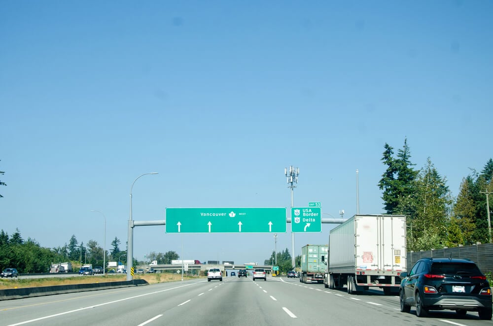
— Photo by DSLucas
The United States Border Patrol was established by Congress on May 28, 1924, and marked its 100th anniversary in 2024. The first agents received little beyond a badge and a pistol, which is a long way from the technology associated with the agency today.
Early images of those officers show small groups working in remote country rather than large facilities. The creation of a dedicated force turned what had been scattered inspection duties into a permanent federal presence along the lines.
The Thousand Islands Bridge Dedication of 1938
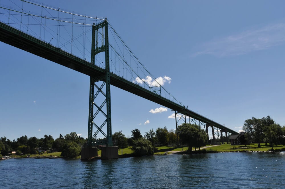
On August 18, 1938, President Franklin Roosevelt and Prime Minister William Lyon Mackenzie King officially dedicated the Thousand Islands Bridge. The system crosses the St. Lawrence River between New York and Ontario, hopping across several islands on the way.
Two national leaders attending a bridge opening was a sign of how seriously both governments treated the link. The crossing replaced a ferry-dependent route with a roadway that could be driven year-round.
The Detroit-Windsor Tunnel Goes Under the River
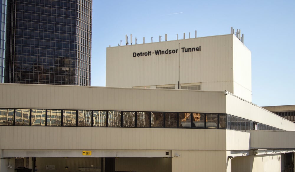
The Detroit-Windsor Tunnel opened in November 1930, only a year after the Ambassador Bridge gave drivers a way over the river. It offered a route beneath the water instead, funneling traffic between the two downtowns.
Customs booths at either end made it feel like a short commute interrupted by two inspections. The tunnel still carries cars today, and its anniversaries are marked locally with the sort of pride usually reserved for landmarks.
The Honeymoon Bridge Falls Into the Niagara Gorge
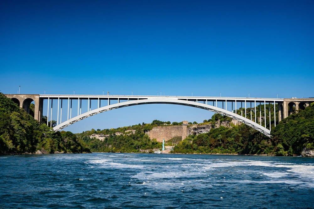
The Honeymoon Bridge at Niagara Falls collapsed on January 27, 1938, after lasting roughly 40 years. A massive ice jam in the gorge pushed against its footings until the steel arch gave way. Its name suggests the kind of traffic it was known for, and its loss was widely noted.
The Rainbow Bridge opened in 1941 as its replacement, and it still carries traffic between the United States and Canada.
The Blue Water Bridge Opens at Port Huron and Sarnia
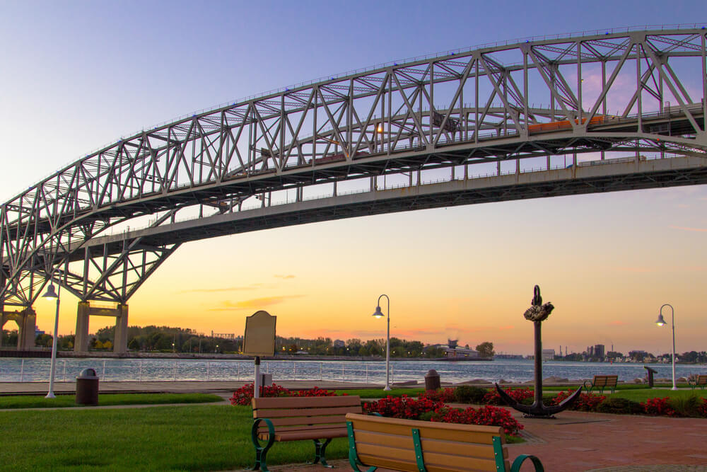
The first Blue Water Bridge opened on October 10, 1938, linking Port Huron, Michigan, to Sarnia, Ontario. It arrived the same year as the Thousand Islands Bridge and the collapse of the Honeymoon Bridge, making 1938 a busy one for border infrastructure.
The crossing sits at the point where Lake Huron narrows into the St. Clair River. Later photographs show a growing complex of plazas and lanes around what began as a single span.
The Ogdensburg-Prescott Bridge Across the St. Lawrence
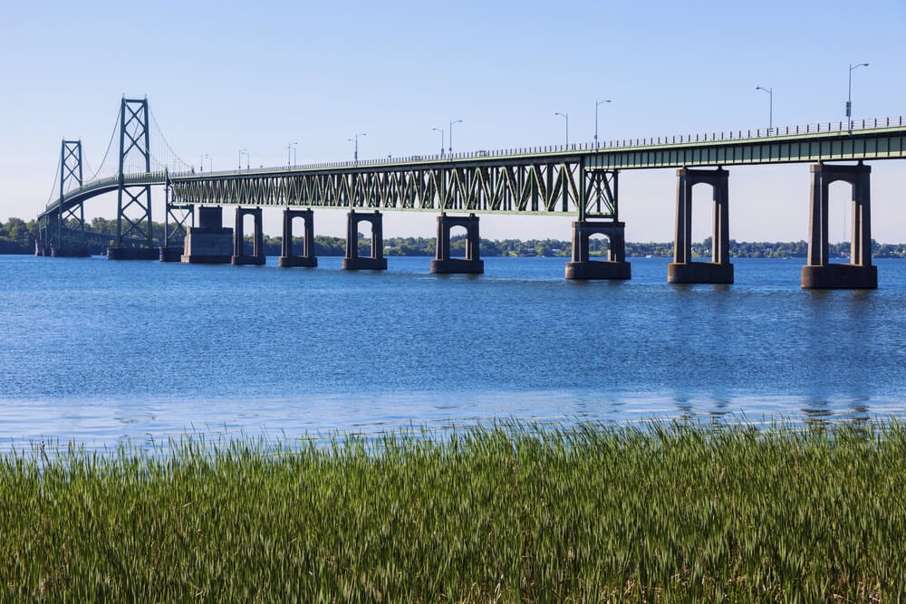
The Ogdensburg-Prescott International Bridge opened in 1960 and connects Ogdensburg, New York, with Prescott, Ontario. It was built as the St. Lawrence Seaway reshaped the river and the communities beside it.
The suspension design gave it a graceful profile that stands out from the flat farmland on either bank. The crossing handles smaller volumes than the big Detroit and Buffalo gateways, so older photographs often show a quieter scene than the better-known bridges do.
The Chamizal Transfer and the Córdova Island Crossing at El Paso
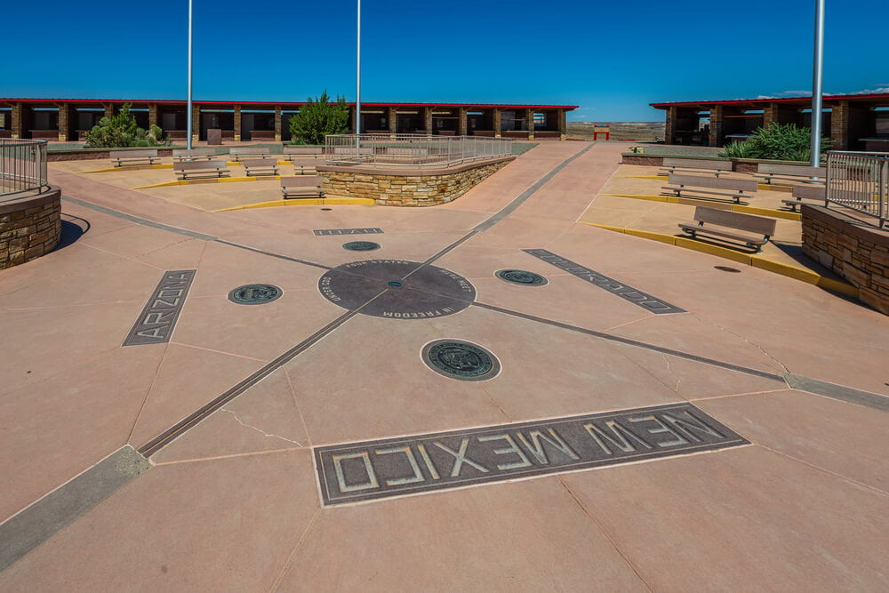
Construction of a bridge to Córdova Island, between El Paso and Ciudad Juárez, began in 1949. The island itself was caught up in a long dispute over the shifting Rio Grande, which the Chamizal settlement eventually resolved.
President Lyndon B. Johnson issued the Chamizal Declaration recognizing the transfer of lands between the two countries. A river that moved its own channel ended up reshaping a boundary and, in time, a bridge.
Passports Become the Rule in 2009
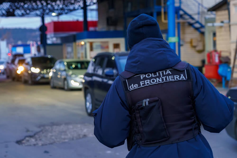
The Western Hemisphere Travel Initiative brought a passport or other approved document requirement to land and sea crossings on June 1, 2009. Before that date, many American and Canadian travelers crossed with little more than a driver’s license or a birth certificate.
The requirement had been phased in, with air travel covered first. Pictures of crossing lanes before and after the change look similar, but the paperwork in the glove box looked very different.
SENTRI Brings Dedicated Lanes to the Southern Border
— Photo by frimufilms
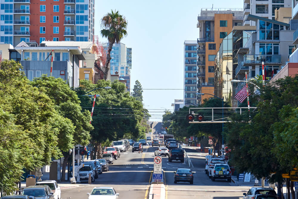
The Secure Electronic Network for Travelers Rapid Inspection, known as SENTRI, began in 1995 at Otay Mesa near San Diego. Pre-approved travelers received access to dedicated lanes that moved faster than the general queues.
The idea was to separate low-risk, frequent crossers from everyone else and use technology to speed them along. It marked a shift from treating every vehicle the same to sorting traffic before it reached the booth.
San Ysidro Rebuilds Its Pedestrian Gateway
— Photo by czuber
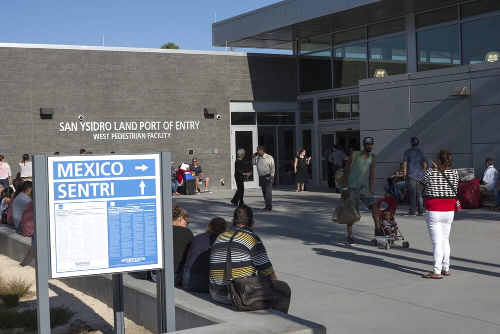
The PedWest facility and transit center at San Ysidro opened in July 2016, giving pedestrians a new way to walk into the United States from Tijuana. It was part of a multi-stage rebuild of one of the most heavily used land ports of entry on the border.
Earlier views of the crossing show narrower walkways and older buildings that struggled with the volume. The new complex tied the crossing directly to a transit hub on the American side.
The Line That Keeps Moving
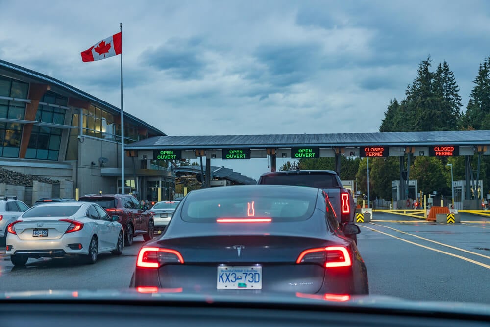
Each of these places began with a particular idea. Peace Arch and the Peace Bridge were built to celebrate neighbors, the Ambassador Bridge and the tunnel to carry commerce, and later programs such as SENTRI and the passport rule to sort and screen travelers. The technology changes from decade to decade, but the underlying questions stay familiar.
How much traffic can a crossing hold, and how much scrutiny can it apply without choking itself. The collapse of the Honeymoon Bridge and the rebuilding at San Ysidro are reminders that these structures are not permanent.
Rivers move, volumes grow, and rules change, so a crossing that looks fixed in an old picture was often in the middle of becoming something else. Looking at them side by side, the border appears less like a single line and more like a long series of adjustments.
More from Go2Tutors!

- 27 Silver Dollars and Half Dollars Worth Keeping
- 28 Restaurant Menu Items Nobody Orders Anymore
- 17 Places Built in Seemingly Impossible Spots
- 27 Vintage Rings Worth More Than They Look
- 25 Restricted Sites Tourists Can’t Enter
Like Go2Tutors’s content? Follow us on MSN.