Maps That Look Wrong Today
Open any old atlas and prepare for confusion. Borders shift, countries vanish, and entire regions bear names that sound completely foreign now.
These outdated maps tell stories of empires, wars, independence movements, and political changes that have reshaped our world in ways most people never think about. Let’s dive into some of the most striking examples of maps that would leave modern viewers scratching their heads.
Yugoslavia stretched across the Balkans

The former Yugoslavia was a massive country that held together seven different republics under one flag. Slovenia, Croatia, Bosnia and Herzegovina, Serbia, Montenegro, Macedonia, and Kosovo all existed as parts of this single nation.
Maps from the 1980s show this unified territory dominating southeastern Europe, but the country tore itself apart through brutal wars in the 1990s. Today, these are seven independent nations with their own governments, currencies, and identities.
The Soviet Union covered eleven time zones
Any map before 1991 shows the USSR as an absolutely enormous red blob stretching from Eastern Europe all the way to the Pacific Ocean. This superpower included Russia, Ukraine, Belarus, the Baltic states, and a dozen other republics that are now fully independent countries.
The collapse happened so quickly that cartographers worldwide scrambled to redraw their maps. Finding an old globe with the Soviet Union still on it feels like looking at ancient history, even though it only disappeared about thirty years ago.
Czechoslovakia sat in the heart of Europe
This country appeared on every European map for most of the twentieth century, occupying the space where the Czech Republic and Slovakia now exist separately. The split happened peacefully in 1993, earning the nickname the ‘Velvet Divorce’ because of how smoothly it went.
Unlike Yugoslavia, this breakup involved negotiations and agreements rather than violence. Old maps show Czechoslovakia as a single unit, which now looks completely wrong to anyone under forty.
East and West Germany divided Berlin with a wall
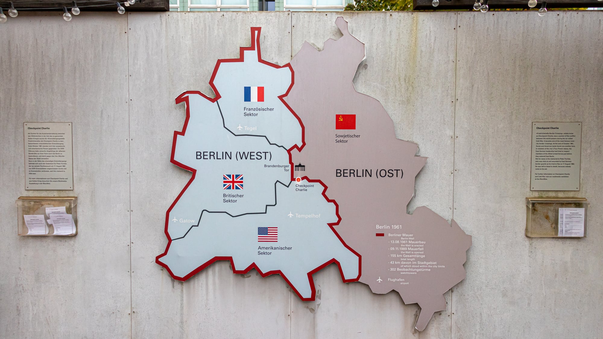
Germany existed as two completely separate countries from 1949 until 1990, with different governments, economies, and even Olympic teams. Maps from this era show a thick border cutting through the middle of the country, with West Berlin appearing as a tiny island surrounded by East German territory.
The Berlin Wall became the most famous symbol of this division. Reunification transformed European maps overnight, and younger generations struggle to imagine Germany ever being split in two.
Zaire occupied central Africa
The Democratic Republic of Congo used to be called Zaire, a name that appeared on all African maps from 1971 to 1997. The country changed its name when a new government took power, reverting to a version of its earlier title.
Maps from the Zaire era look completely outdated now, and many people have forgotten this name ever existed. The country remains the same territory, but seeing ‘Zaire’ on an old map immediately dates it to a specific period.
Burma bordered Thailand and India
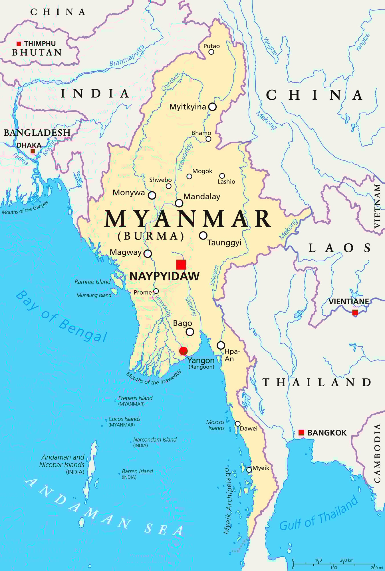
Myanmar spent most of modern history being called Burma, and older maps exclusively use this name. The military government changed the official name to Myanmar in 1989, though many countries and people resisted using the new term for years.
Maps created before this change show Burma occupying the same geographic space that Myanmar does today. The name debate continues in some circles, but most current maps have fully adopted Myanmar.
Rhodesia appeared in southern Africa
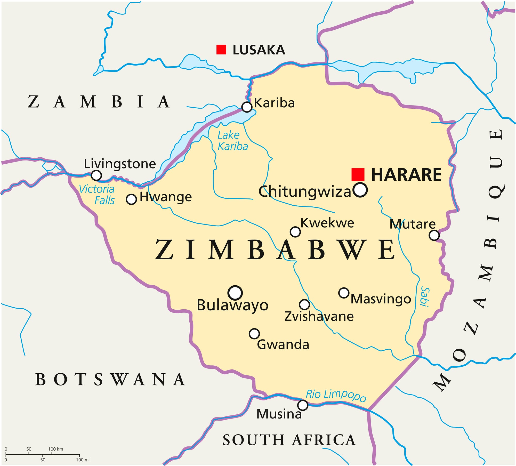
Zimbabwe was known as Rhodesia until 1980, named after Cecil Rhodes, the British imperialist who helped colonize the region. Maps from the colonial era and the early independence period show Rhodesia as a distinct country in southern Africa.
The name change came with majority rule and the end of white minority government. Finding Rhodesia on a map today would be impossible, though some older reference materials still contain this outdated name.
Siam stretched across Southeast Asia
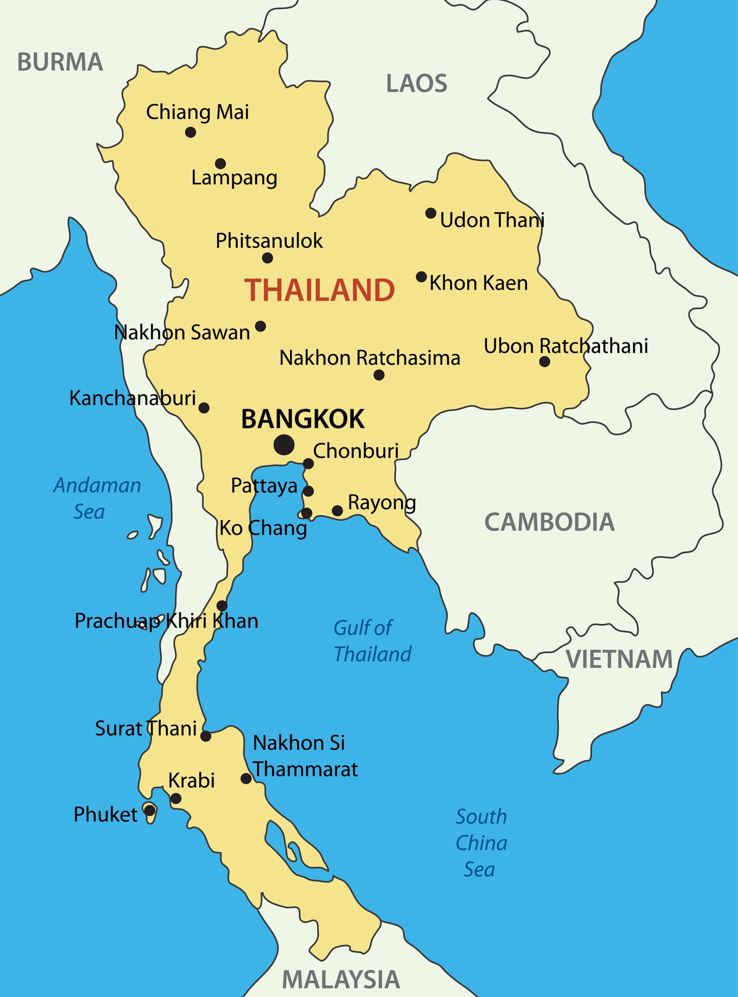
Thailand went by the name Siam until 1939, and then briefly returned to using Siam again before permanently becoming Thailand in 1949. Old maps, especially those from the early twentieth century, show Siam occupying the same peninsula where modern Thailand sits.
The name change reflected a shift toward nationalism and a desire to emphasize the Thai people. Most people today associate the name Siam only with Siamese cats, not realizing it was once a country.
The United Arab Republic combined Egypt and Syria
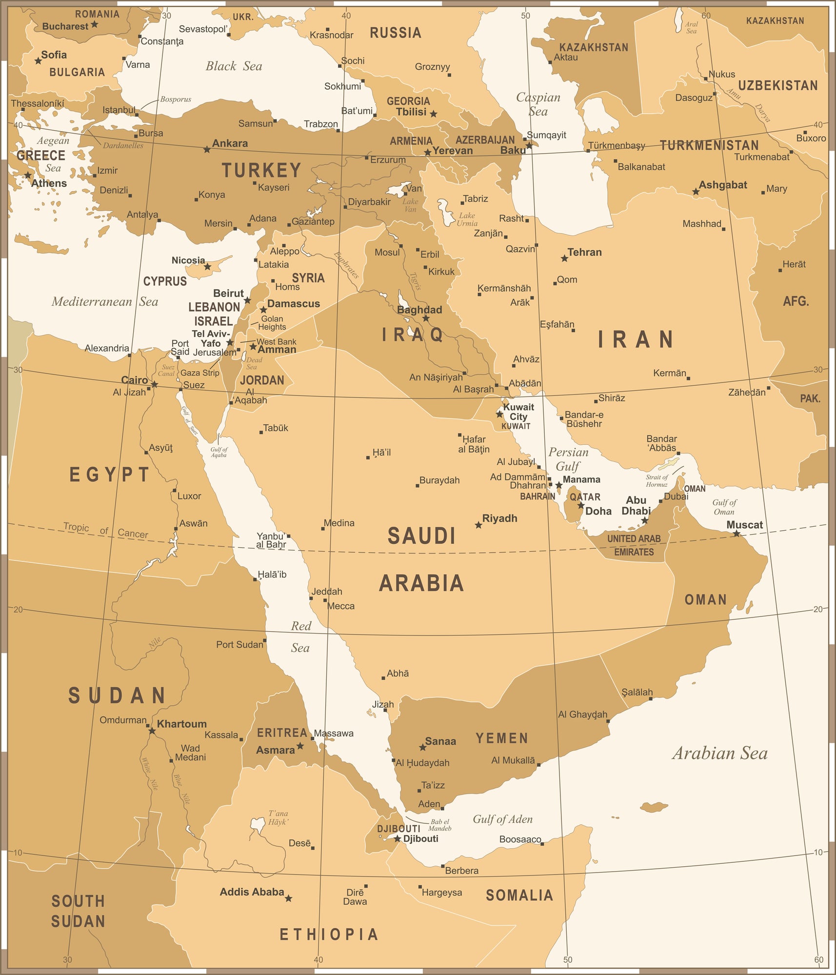
From 1958 to 1961, Egypt and Syria merged into a single country called the United Arab Republic, creating one of the strangest political experiments in modern Middle Eastern history. Maps from this brief period show these two non-contiguous territories as parts of one nation, with hundreds of miles of other countries between them., Egypt and Syria merged From 1958 to 1961, Egypt and Syria merged into a single country called the United Arab Republic, creating one of the strangest political experiments in modern Middle Eastern history.
Maps from this brief period show these two non-contiguous territories as parts of one nation, with hundreds of miles of other countries between them.
The union fell apart after just three years when Syria withdrew. Egypt kept using the name United Arab Republic for itself until 1971, making maps from that era even more confusing.
Persia dominated the Middle East

Iran was internationally known as Persia until 1935, when the government requested that other countries use Iran instead. Maps created before this change show Persia in the exact location where Iran appears today.
The name Persia persisted in common usage for years afterward, and many older people still occasionally use it. Historical maps featuring Persia can confuse younger readers who only know the region as Iran.
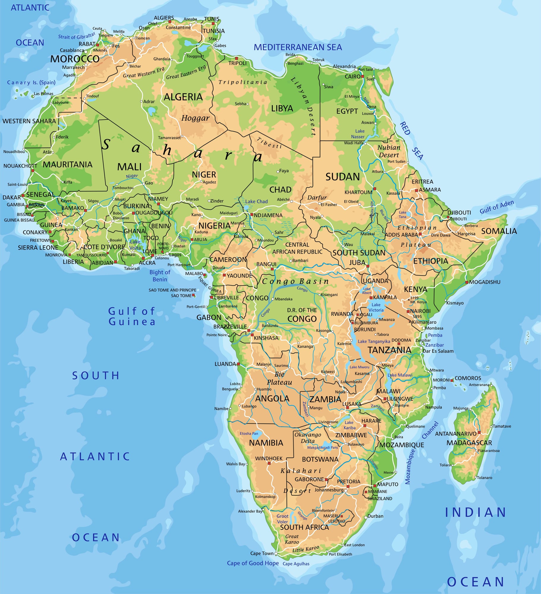
Abyssinia sat in the Horn of Africa

Ethiopia was commonly called Abyssinia on Western maps through the early twentieth century. This ancient name appeared in countless atlases, geography books, and news reports until Ethiopia became the standard international name.
Maps showing Abyssinia now look distinctly old-fashioned. The country has maintained the same general borders, but the name change makes historical maps immediately recognizable as outdated.
Tanganyika and Zanzibar were separate territories

Tanzania formed in 1964 when Tanganyika and Zanzibar merged into a single nation. Maps before this date show two distinct political entities on the East African coast.
Tanganyika was the mainland territory, while Zanzibar consisted of islands just offshore. The unified name Tanzania combines parts of both original names.
Formosa appeared off the coast of China
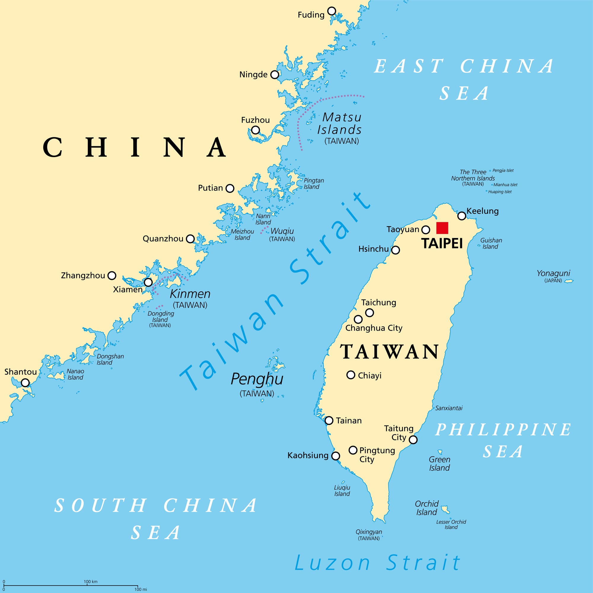
Taiwan was labeled as Formosa on many Western maps through much of the twentieth century. Portuguese sailors gave the island this name, which means ‘beautiful,’ and it stuck in European cartography for centuries.
Maps using Formosa instead of Taiwan instantly reveal their age. The name fell out of common usage as Taiwan became the internationally recognized term, though some older people remember when Formosa was standard.
Ceylon was an island nation south of India

Sri Lanka went by Ceylon until 1972, when the country adopted its current name upon becoming a republic. Colonial-era maps and those from the early independence period show Ceylon occupying the same teardrop-shaped island below India.
The name change was part of removing colonial influences from national identity. Older globes and atlmaps featuring Ceylon are now collector’s items that look obviously outdated.
Mesopotamia lay tucked between two great rivers
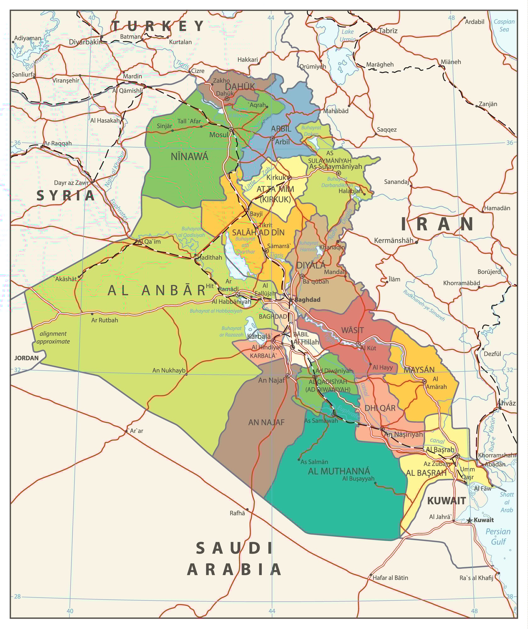
The area known today as Iraq used to show up as Mesopotamia on old maps – especially ones featuring ancient cultures or places from the early 1900s. That word means ‘land between two rivers’ because it sits between the Tigris and Euphrates.
Even though it’s not a country name but a location label, spotting Mesopotamia instead of Iraq tells you right away the map isn’t current. Today’s maps say Iraq; however, Mesopotamia pops up when talking about history or digging into ruins.
The Ottoman Empire stretched across three continents
Back then, maps drawn in the 1800s and early 1900s displayed the Ottoman realm stretching across chunks of three continents – Europe, Asia, even Africa. It held sway over what’s now Turkey, big slices of the Middle East, lands along North Africa, alongside bits of southeast Europe.
When it fell apart following WWI, new states popped up – one after another – like Turkey, Syria, Iraq, Jordan, plus several more. Spotting that old empire laid out on a map feels strange compared to today’s country lines.
Swapping one giant rule for loads of separate nations? That shift redrew world geography like almost nothing else before.
The Austro-Hungarian Empire dominated Central Europe
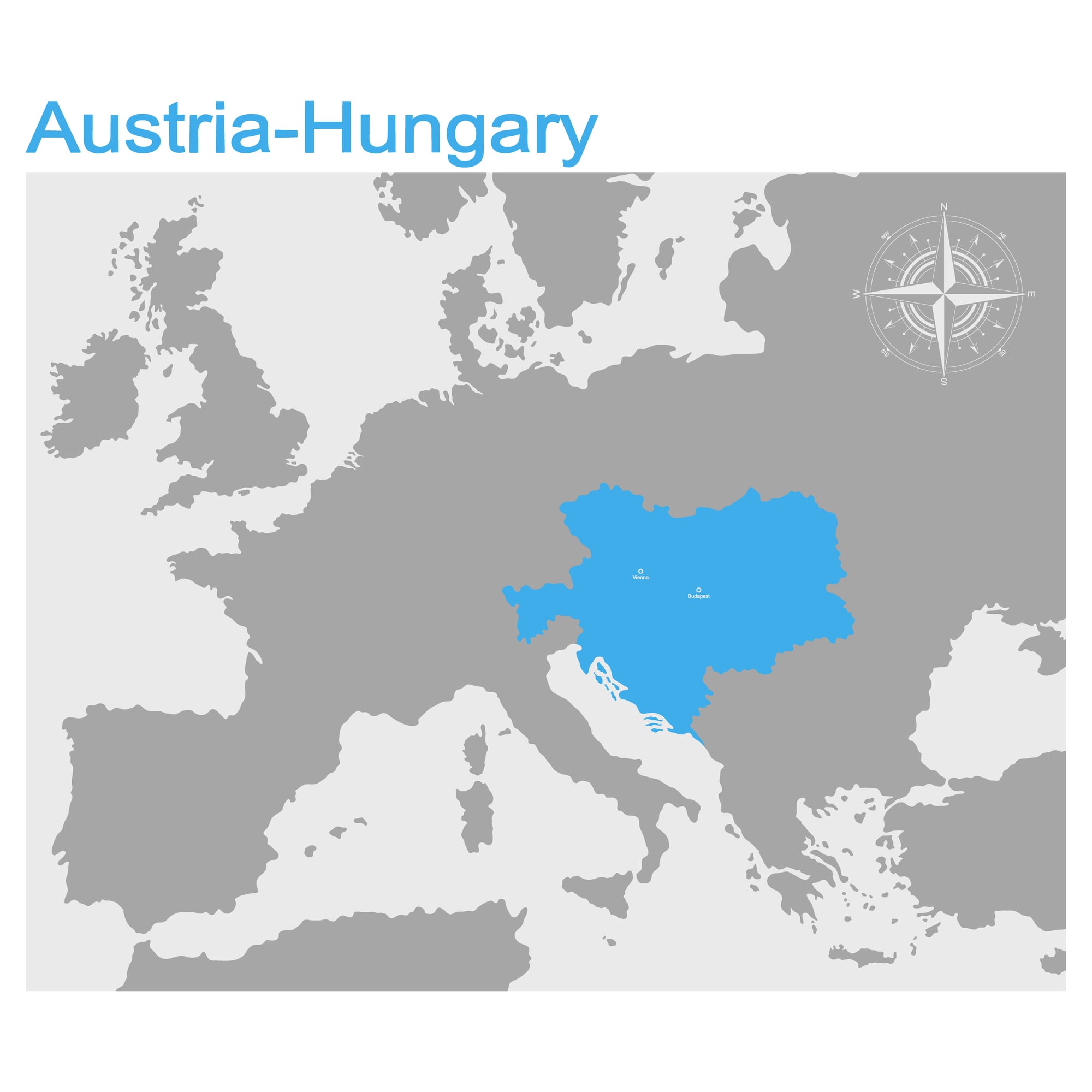
Back before WWI, much of Europe was under the Austro-Hungarian Empire – a two-part kingdom ruling lands now split across over ten nations. Old maps reveal it stretched into what’s today Austria, Hungary, the Czech Republic, Slovakia, bits of Poland, Romania, Ukraine, Italy, Croatia, along with others.
When the empire collapsed in 1918, it reshaped the entire continent’s layout. Spotting that single empire on a wartime map compared to tracking down each new country today shows just how fast borders shift.
French Indochina covered Southeast Asia

Vietnam, Laos – along with Cambodia – were once drawn together on old maps as French Indochina before the 1950s rolled around. That European-controlled zone held up until local struggles and talks brought freedom bit by bit.
Today’s charts show them split apart, so seeing them lumped in one block feels off somehow. Wars after independence, especially the long fight in Vietnam, shifted regional views hard enough to make vintage maps feel like relics from another time.
Why lines on maps never stay put
Maps seeming odd now show borders don’t last forever. Nations join together, break apart, get new names, or vanish more often than you’d think.
Today’s layout might seem solid, yet it could shift entirely in a few decades. Old charts like these capture shifts from conflicts, uprisings, and deals that reshaped whole regions piece by piece.
More from Go2Tutors!

- The Romanov Crown Jewels and Their Tragic Fate
- 13 Historical Mysteries That Science Still Can’t Solve
- Famous Hoaxes That Fooled the World for Years
- 15 Child Stars with Tragic Adult Lives
- 16 Famous Jewelry Pieces in History
Like Go2Tutors’s content? Follow us on MSN.