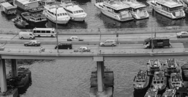
Photos of Early Highways Under Construction
Before the interstates, a road was a negotiation between a map and a mountain, and the negotiators carried shovels. Photographs from the first half of the twentieth century catch that argument in progress: mule teams hitched to scrapers, steam shovels chewing through hillsides, crews bent over wooden forms.
These images do more than document pavement. They show how much of the modern road network began as muscle, improvisation, and a stubborn belief that a car should be able to go somewhere new.
Lincoln Highway Seedling Mile in Illinois
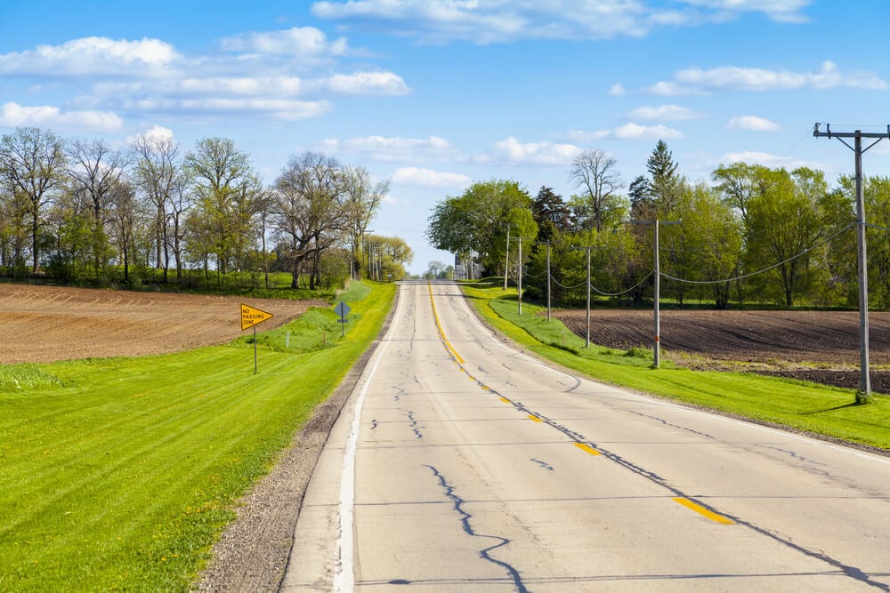
The Lincoln Highway was dedicated in 1913 as a coast-to-coast route, but much of it was still dirt and gravel. In 1914, a single mile of concrete was poured near Malta, Illinois, as a demonstration of what a durable road could look like. Views of the work show crews tending wet concrete under temporary forms, a slow and manual process that earned the stretch its nickname, the Seedling Mile.
The idea was that one good mile would shame the surrounding mud into improvement.
Columbia River Highway Carved Into the Gorge
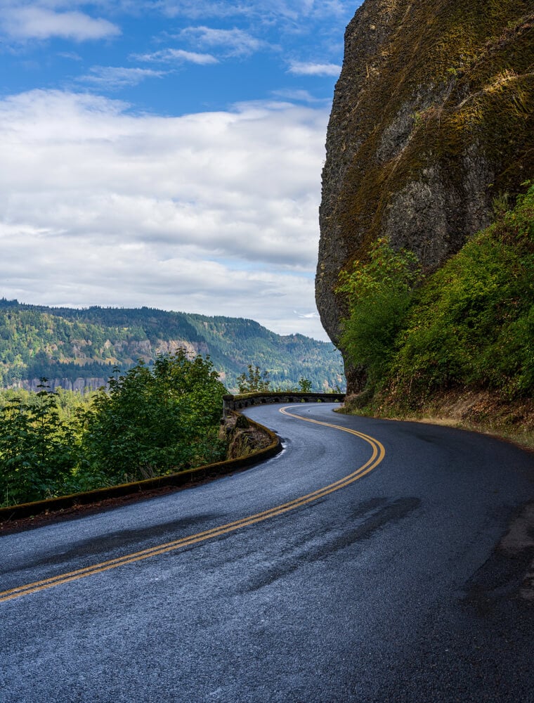
Civil engineer Samuel Lancaster designed Oregon’s Columbia River Highway, and construction ran from 1913 to 1922. Photographs of the work show crews cutting a shelf into basalt cliffs above the Columbia River, with masonry walls and viaducts shaped to suit the scenery rather than just the grade. Near Mosier, the twin tunnels were bored through rock with a gap between them that functioned as a window onto the gorge.
Few highway builders of the era worried this much about the view.
Mohawk Trail Climbing Into the Berkshires
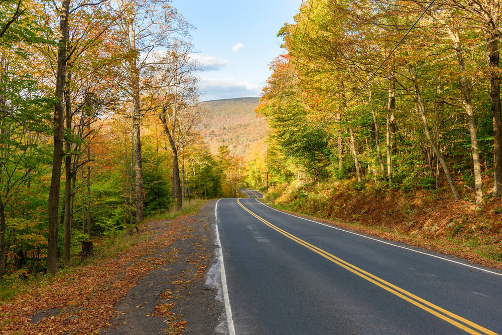
The Mohawk Trail in Massachusetts opened to motorists in 1914, following a route across the northern Berkshires long used as a footpath. The tight switchback near North Adams, known as the Hairpin Turn, required crews to blast and grade a steep hillside with hand drills and horse-drawn equipment. Early construction views show the raw cut before any guardrail or paving softened it.
The road was promoted from the outset as a scenic attraction, which was an unusual selling point for a public works project.
Going-to-the-Sun Road Across the Continental Divide
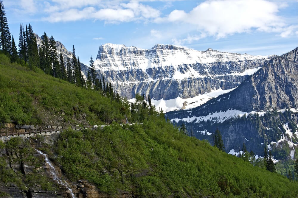
Construction of Going-to-the-Sun Road in Glacier National Park ran from 1921 to 1932, with Logan Pass as its high point. Photographs of the work show narrow ledges blasted from sheer rock, with crews working above drops of hundreds of feet.
The road runs roughly 50 miles through the park, and the section along the Garden Wall demanded the most dangerous labor. Snow buried the work site for much of each year, so the building season was brutally short.
Great Ocean Road Built by Returned Soldiers
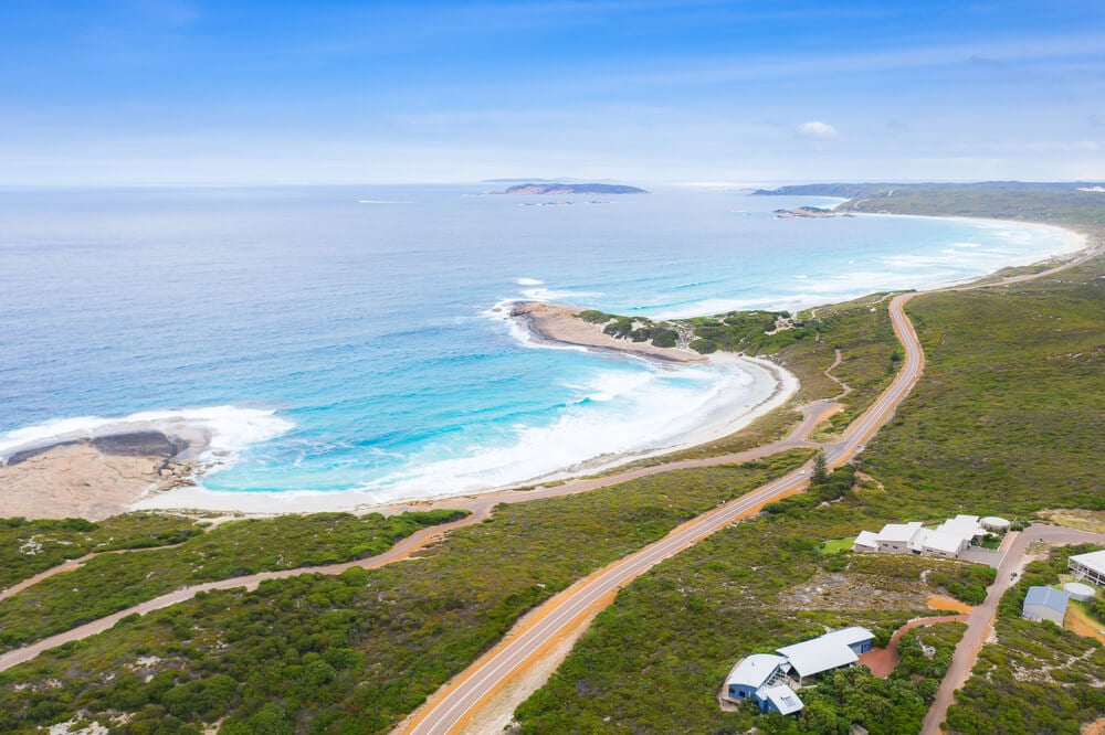
Work on Australia’s Great Ocean Road began in 1919 and finished in 1932, with returned soldiers from World War I making up much of the labor force, roughly 3,000 in all. The road was conceived as a memorial to the fallen, which gave the pick-and-shovel work along Victoria’s southern coast a somber purpose.
Photographs show men cutting a track into cliffs above the surf and using explosives and hand tools on steep headlands. The result linked coastal communities that had previously been reachable mainly by sea.
Route 66 Pavement Spreading Across the Plains
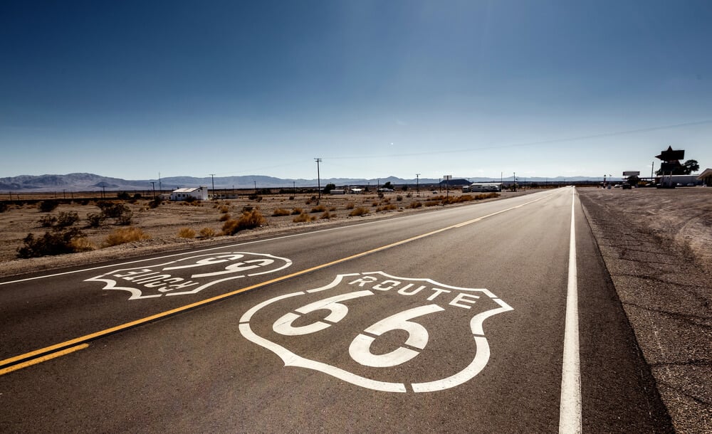
Route 66 was commissioned in 1926 as a link between Chicago and Los Angeles, but large stretches were gravel or dirt at the time. By 1938, the entire route was paved, a milestone that took a dozen years of county and state paving projects.
Construction photographs from the period show graders leveling roadbeds across the Plains and crews feeding concrete mixers by hand. The paving was patchwork, built segment by segment rather than as one continuous project.
Bronx River Parkway Replacing a Polluted Stream
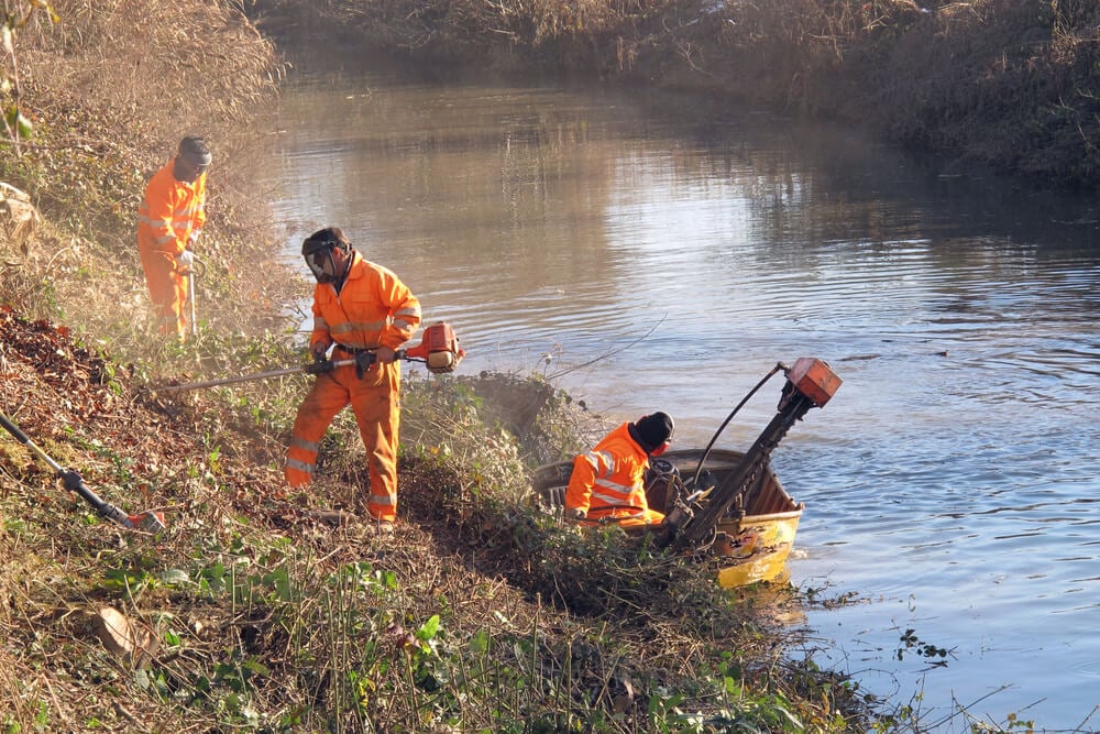
The Bronx River Parkway in Westchester County, New York, was completed in 1925 after nearly two decades of planning and building. The project was tied to cleaning up a polluted river valley, and it required clearing out industrial waste and relocating structures before the roadway could be laid.
Photographs from the work show landscaping crews at work alongside road builders, an unusual pairing for the time. The parkway established a model of roads designed around trees and water rather than simply cutting through them.
Skyline Drive Along the Blue Ridge Crest
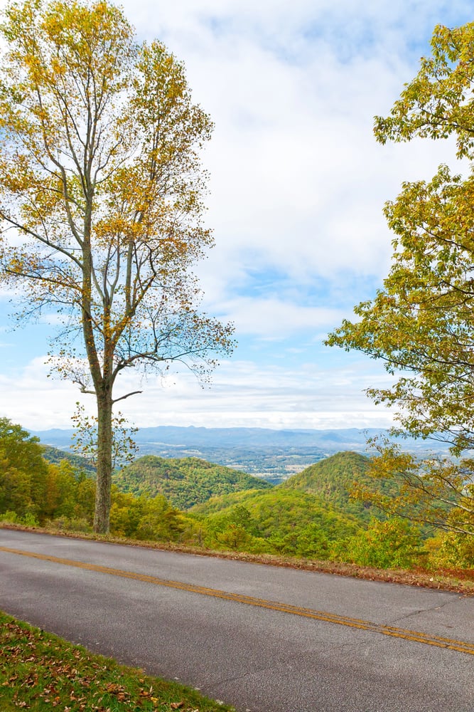
Skyline Drive in Virginia’s Shenandoah National Park was built between 1931 and 1939 along the crest of the Blue Ridge. Civilian Conservation Corps crews did much of the planting, stonework, and finishing that gave the road its polished look.
Photographs show young men in work clothes shaping rock walls and overlooks by hand. The drive runs for about 105 miles, and its engineers made a point of preserving long views rather than taking the shortest line.
Blue Ridge Parkway Linking Two National Parks
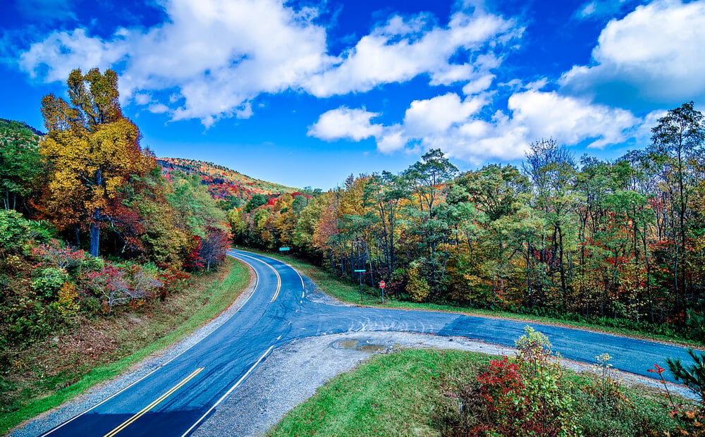
Construction of the Blue Ridge Parkway began in September 1935 near Cumberland Knob in North Carolina, with Depression-era relief labor and Civilian Conservation Corps camps supplying much of the workforce. Early photographs show crews clearing timber and grading by hand along mountain ridges, with stone retaining walls rising beside the roadbed.
The parkway was not finished until 1987, when the Linn Cove Viaduct closed the last gap near Grandfather Mountain. That makes it one of the longest-running road projects in American history.
Overseas Highway to Key West
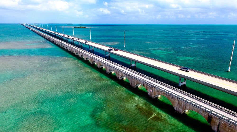
The Overseas Highway to Key West opened in 1938 and ran for about 113 miles, much of it across bridges and causeways. It was built on the foundations of Henry Flagler’s Florida East Coast Railway, much of which was damaged by the 1935 Labor Day hurricane.
Construction photographs show workers laying decking and deck-level rails over long concrete spans stretched across open water. The finished route carried 42 bridges, which turned a damaged railroad into a road that cars could drive to the end of Florida.
Pennsylvania Turnpike Reusing Abandoned Tunnels
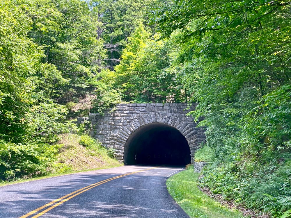
Pennsylvania Turnpike construction ran from 1938 to 1940, and the 160-mile road opened on October 1, 1940. Part of the route reused tunnels and grading originally prepared for the South Pennsylvania Railroad, a project abandoned decades earlier. Photographs show crews working with steam shovels, trucks, and concrete forms across mountain terrain.
Reusing the old rail work saved time and money, and it gave the nation’s first long-distance superhighway an unexpected advantage.
Arroyo Seco Parkway Linking Los Angeles and Pasadena
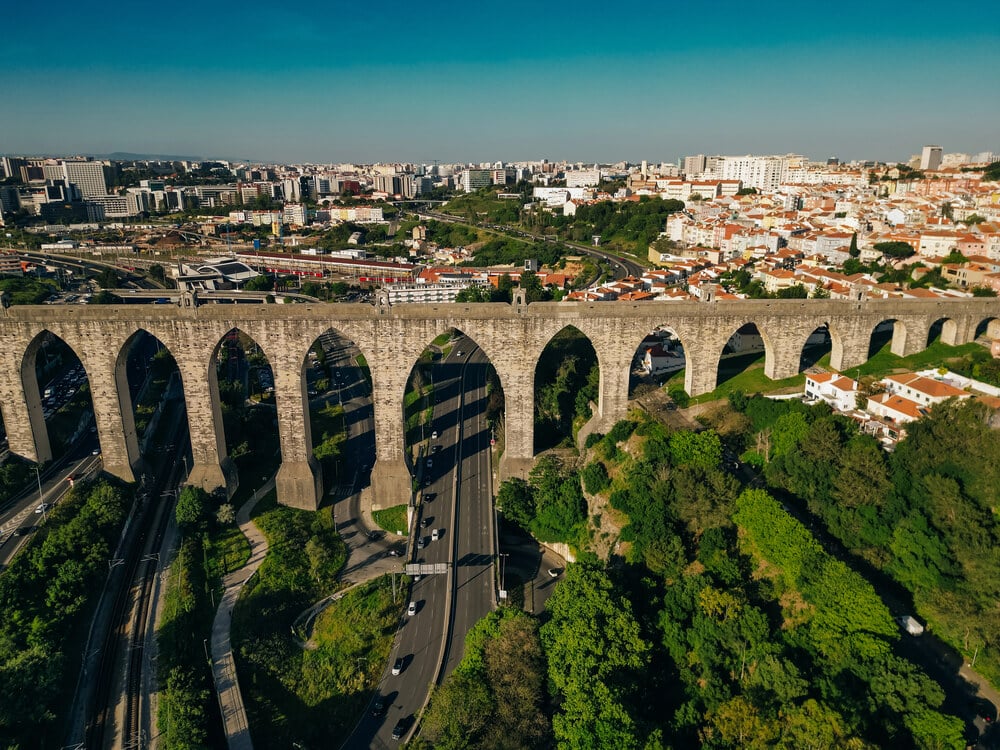
The Arroyo Seco Parkway opened in December 1940 and connected downtown Los Angeles with Pasadena along the dry channel it is named for. Construction photographs from the late 1930s show earthmovers shaping a sunken roadway through a canyon landscape that was still largely undeveloped.
The parkway had tight curves and short on-ramps by modern standards, reflecting speeds and car designs of its era. It is often described as the first freeway in the American West.
Merritt Parkway and Its Individual Bridges
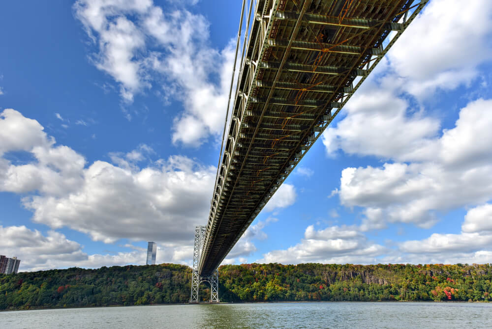
The Merritt Parkway in Connecticut was built in stages during the 1930s, with the first section opening in 1938. Architect George Dunkelberger designed the overpasses, and the bridges were made distinct from one another rather than repeated from a standard template.
Construction photographs show forms and masonry work on structures that were treated almost like sculpture. The road was meant for pleasure driving, which is why its builders spent so much effort on the details motorists would pass beneath.
Early Autobahn Between Frankfurt and Darmstadt
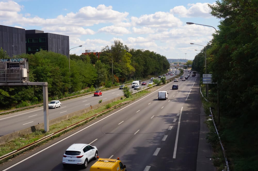
Autobahn construction in Germany began in 1933, and the first completed section, linking Frankfurt and Darmstadt, opened in 1935. Photographs from the period show large crews of laborers with shovels, wheelbarrows, and narrow-gauge rail carts moving earth alongside the machines.
The road was built with wide dividing strips and gentle curves intended for higher speeds than most contemporary roads could handle. It anticipated design ideas that other countries would adopt after the war.
Alaska Highway Cut Through Wilderness in 1942
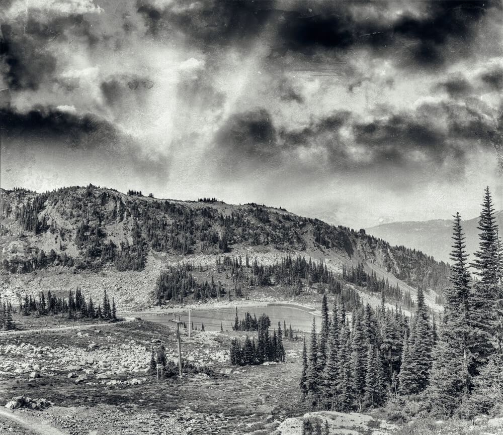
The Alaska Highway was pushed through roughly 1,500 miles of northern wilderness in about eight months in 1942, a wartime rush driven by fears about the defense of Alaska. Army engineer regiments did much of the work, including three units made up of Black soldiers.
Photographs show bulldozers clearing spruce forest, crews laying corduroy logs over muskeg, and convoys stuck in thawing mud. The pace was extraordinary, and the first pass was rough enough that it needed extensive rebuilding afterward.
Burma Road Built by Hand in Yunnan
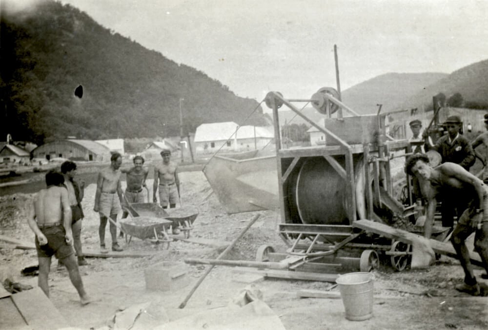
The Burma Road was built in 1937 and 1938 to connect Kunming in China with the Burmese railhead at Lashio, a distance of roughly 700 miles. An estimated 200,000 laborers worked largely with hand tools, including many women and children, carving the road out of steep mountain terrain.
Photographs show long lines of workers carrying baskets of rock and earth along cliffs. The route became a critical supply line for China during the war, which made its hand-built origins all the more remarkable.
What the Shovels Left Behind
Taken together, these photographs show how recently roads were built by large groups of people doing slow, physical work. Mules, hand drills, wooden forms, and wheelbarrows appear again and again, even on projects that were meant to look modern. The machinery that eventually replaced that labor arrived gradually, and the photographs record the overlap.
They also reveal what road builders thought they were making. Some routes were meant to carry soldiers, some to sell scenery, and some to prove that a mile of concrete was worth the trouble. Each one began as a plan on paper and became real only when crews arrived with tools and began moving the ground.

- 27 Silver Dollars and Half Dollars Worth Keeping
- 28 Restaurant Menu Items Nobody Orders Anymore
- 17 Places Built in Seemingly Impossible Spots
- 27 Vintage Rings Worth More Than They Look
- 25 Restricted Sites Tourists Can’t Enter
Like Go2Tutors’s content? Follow us on MSN.