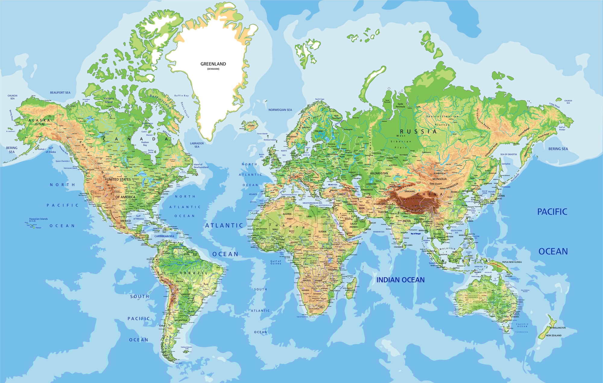
Places Americans Often Misplace On A World Map
Most Americans could probably point out France or Japan without much trouble. But hand someone a blank world map and ask them to mark fifteen other countries, and things get interesting fast.
Geography education in the U.S. has always leaned heavily on North America and Europe, which leaves a lot of the world either blurry or completely unknown to many people. These are some of the places that tend to end up in the wrong spot.
New Zealand Gets Pushed Off The Map Entirely
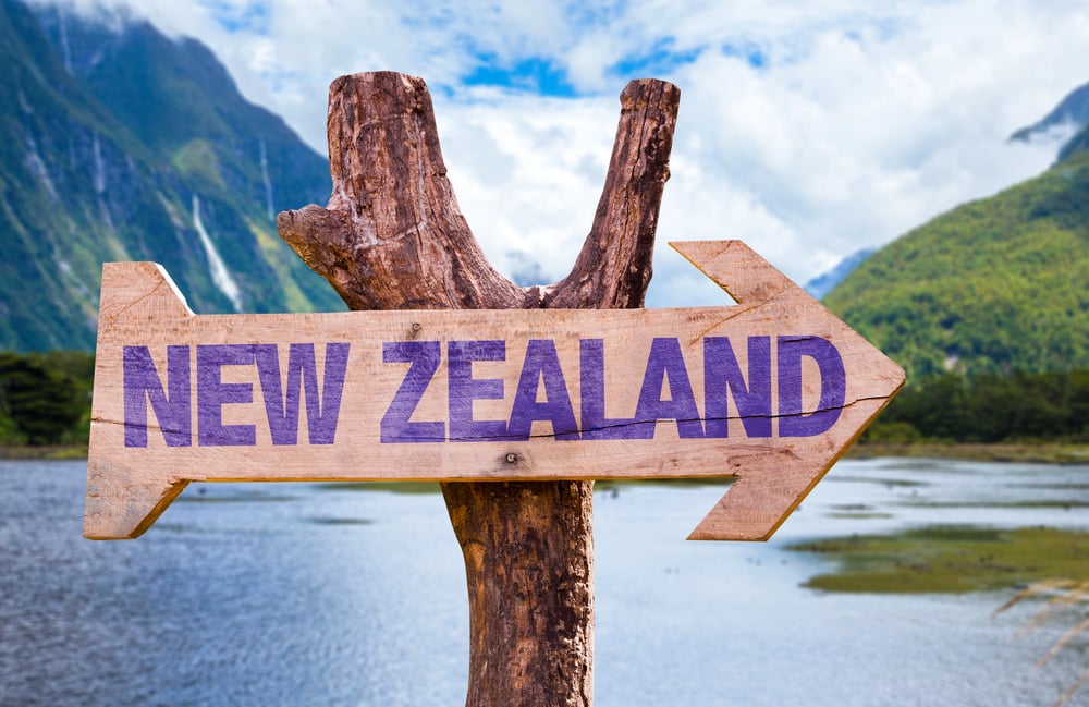
New Zealand has a well-known problem: it keeps getting left off maps altogether. But when people do try to place it, they often stick it somewhere just below Australia, sometimes too far west, sometimes almost touching it.
The actual country sits about 1,500 miles southeast of Australia’s east coast — far enough that it’s easy to misjudge. The two islands that make up New Zealand are also commonly drawn as one blob, when in reality the South Island is substantially larger than the North Island.
Greenland And Iceland Get Swapped Constantly

The names do nothing to help. Greenland is covered in ice, and Iceland is relatively green — at least in parts.
But beyond the naming irony, people routinely swap their positions. Iceland sits in the North Atlantic, close to the UK and Scandinavia.
Greenland is far to the west, closer to Canada. On many maps, Greenland looks enormous due to the Mercator projection distortion, which makes it appear bigger than it actually is, and that size often tricks people into thinking it’s somewhere more central.
Hungary Gets Lost In Central Europe

Central Europe is a blur for a lot of Americans. Hungary gets placed anywhere from the Balkans to Eastern Poland depending on who you ask.
It’s landlocked, bordered by Austria, Slovakia, Ukraine, Romania, Serbia, Croatia, and Slovenia — which means it’s sandwiched in a region full of countries that also get misplaced regularly. Vienna is actually right on Hungary’s western border, which surprises people who assume Hungary is much farther east.
Iran And Iraq Are Treated As Interchangeable
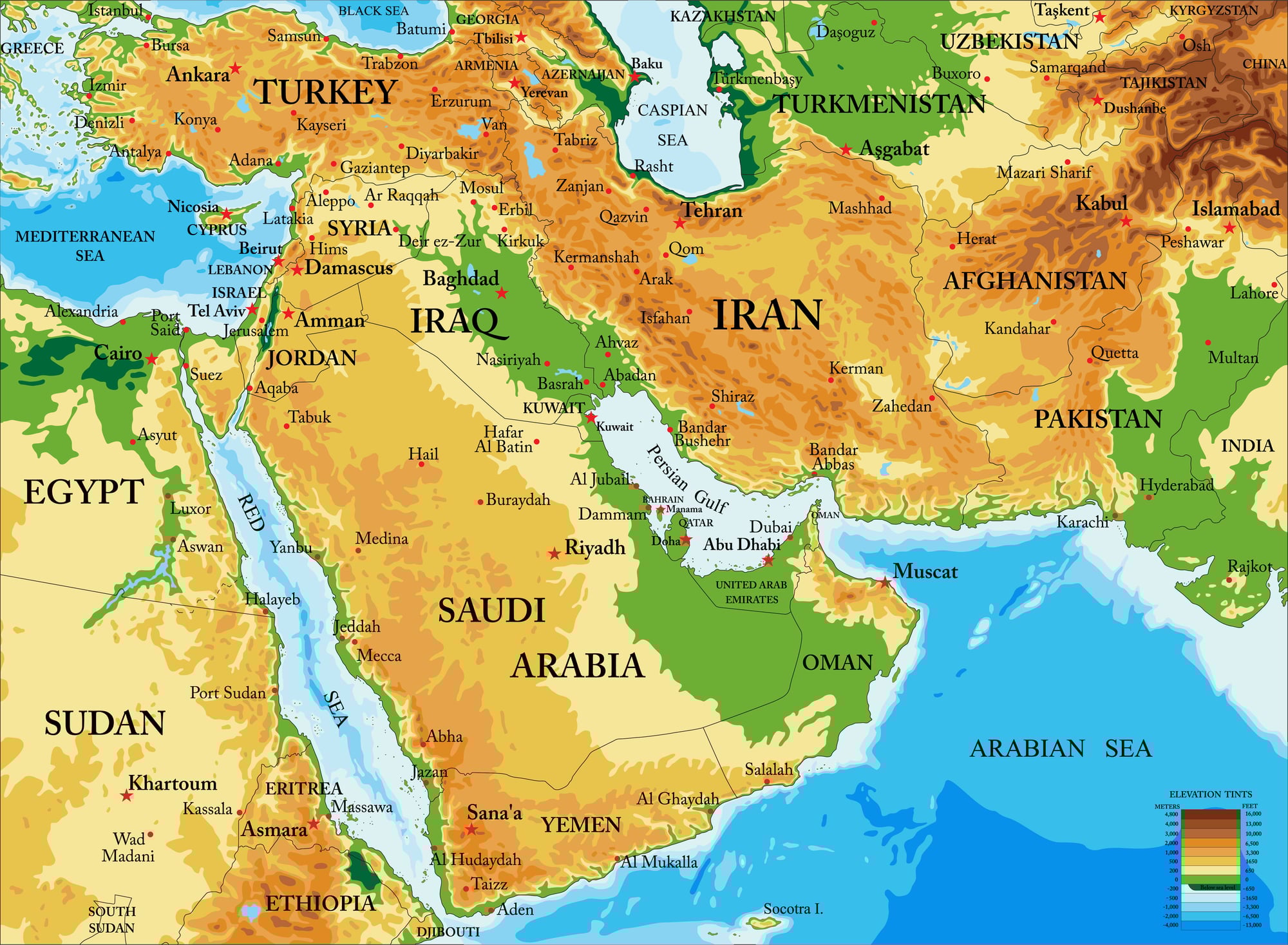
They share a long border and have dominated U.S. news coverage for decades, yet people frequently mix up which one is where. Iraq sits to the west, bordered by Syria, Jordan, and Kuwait.
Iran is to the east, bordering Afghanistan and Pakistan. Iran is also considerably larger — about four times the size of Iraq.
The confusion makes a kind of sense given how often the two countries are mentioned together in political contexts, but on a map they’re clearly distinct.
The Philippines Gets Dragged Too Close To The Mainland
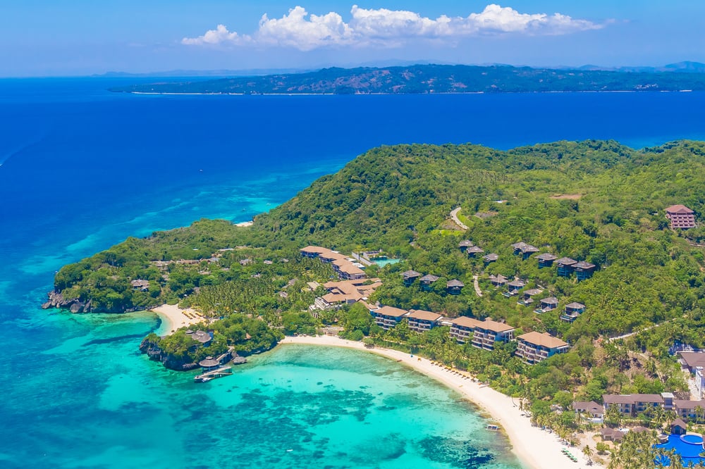
The Philippines is an archipelago of over 7,000 islands, and it tends to get placed too close to mainland Southeast Asia when people guess its location. The country sits east of Vietnam, separated from the Asian mainland by the South China Sea.
It’s also often confused with Indonesia — another island nation — which itself gets spread out incorrectly or compressed on most mental maps.
North And South Korea Don’t Always Land In The Right Spot

The Korean Peninsula gets placed roughly in the right general area, but the division between North and South often gets blurred or reversed in people’s memory. South Korea is the southern portion of the peninsula, with Seoul near the northern edge of the country.
Some people place the North as a small region and the South as larger, when in reality North Korea takes up more landmass. The peninsula is also sometimes pushed too far out into the Pacific or placed too close to Japan.
Sweden, Norway, And Finland Are Routinely Shuffled

Scandinavian geography trips people up more than they’d expect. The usual mistake is swapping Norway and Sweden, or placing Finland where Sweden should be.
Norway runs along the western coast of the peninsula, Sweden takes up the central and eastern portion, and Finland is separate — east of Sweden, sharing a long border with Russia. People often assume Finland is part of the Scandinavian Peninsula when geographically it is not, though it’s culturally grouped with Scandinavian countries.
Ukraine Sits More Centrally Than People Think
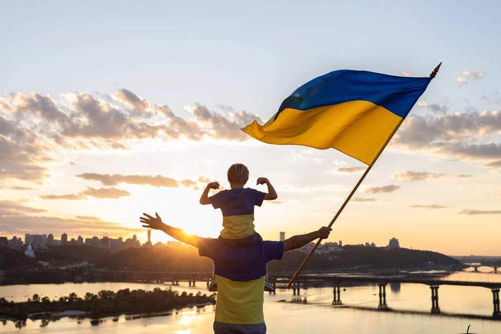
Before 2022, Ukraine barely registered on most Americans’ mental maps. Now it’s widely recognized, but its exact position still trips people up.
Ukraine is one of the largest countries in Europe by land area, sitting between Russia to the east and northeast, and Poland, Slovakia, and Hungary to the west. People often push it too far east or imagine it as a smaller country.
Kyiv, the capital, is roughly level with Warsaw and Berlin in terms of latitude, which surprises many.
Portugal Gets Buried Behind Spain
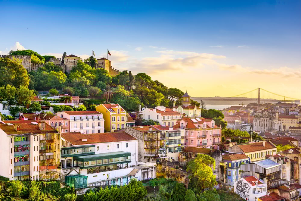
Portugal sits at the far western edge of Europe, on the Atlantic coast. Because it’s small and because Spain tends to dominate people’s image of the Iberian Peninsula, Portugal gets either forgotten or misplaced to the south of Spain.
It actually runs along Spain’s entire western edge, from the northern coast down to the southern tip. Lisbon is further west than any other capital city in mainland Europe.
Bolivia And Paraguay Disappear Into South America
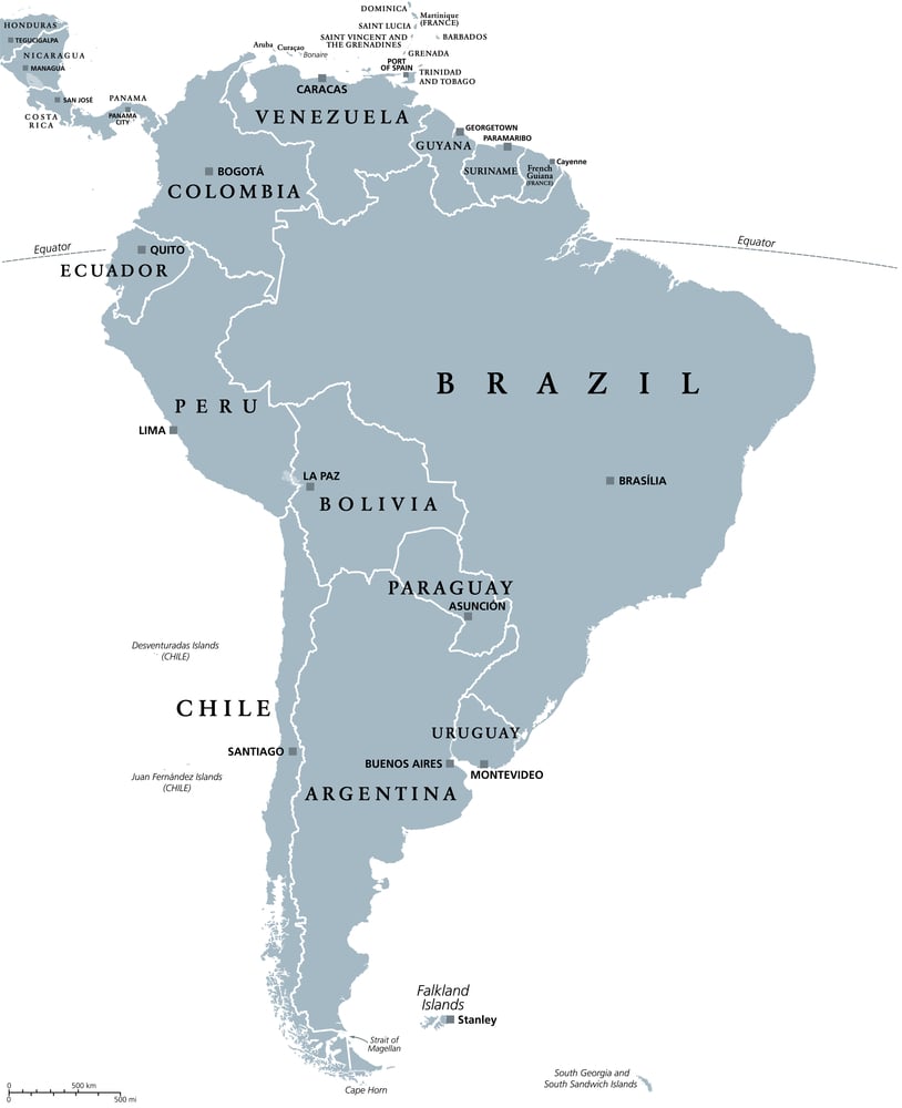
South America’s interior countries get overlooked badly. Bolivia is landlocked, sitting in the central-western part of the continent, bordered by Peru, Brazil, Chile, Argentina, and Paraguay.
Paraguay is also landlocked and ends up being one of the most commonly forgotten countries in the western hemisphere. Most people could draw Brazil and Argentina with some confidence, but Bolivia and Paraguay become vague spaces in between.
Afghanistan Gets Shifted Toward The Middle East
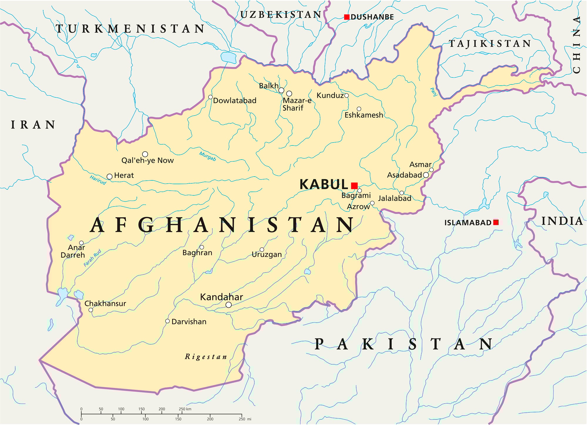
Afghanistan shares its western edge with Iran, touches Pakistan along the east and southern sides, while meeting several Central Asian nations up north. Even after years of stories in U.S. media, many still picture it nearer to Arab regions, often mixing it mentally with places like Saudi Arabia or Iraq.
This mix-up grows from seeing “the Middle East” as a blurry region instead of clear national lines.
Myanmar Stands In Thailand’s Intended Place
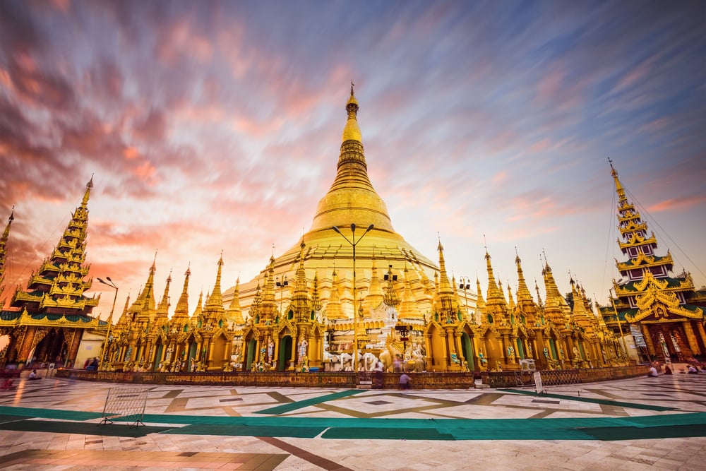
Many Americans struggle to picture Southeast Asia clearly. Along its mainland’s left side sits Myanmar, once called Burma.
This country touches Bangladesh, then India, followed by China, Laos, and finally Thailand. People sometimes mix it up with Thailand, even putting it right on top of that nation.
They do touch each other, yet Myanmar lies farther west. Its outline stands out – stretched north to south, thinning into a long strip pointing at Malaysia.
The Caribbean Islands Merged Into A Single Shape
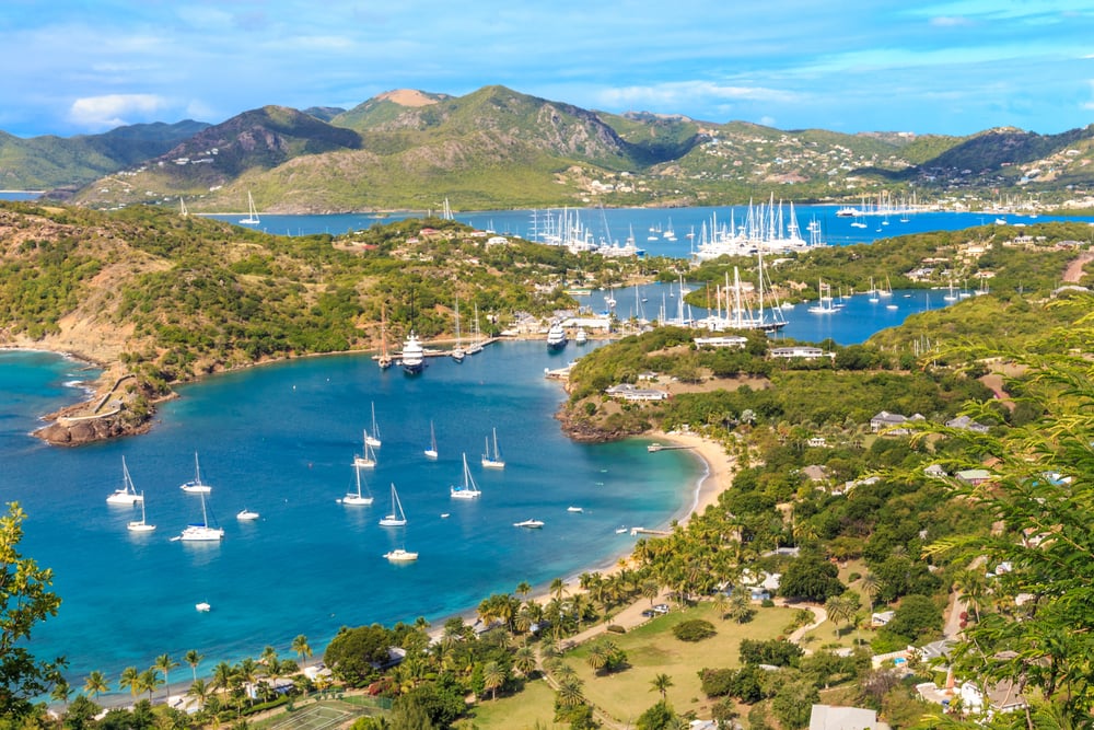
Try naming where Haiti, the Dominican Republic, Jamaica, and Cuba sit on a map – most folks mix up at least one. Westward lies Cuba, broad and near Florida.
East of that spreads Hispaniola, home to two nations: Haiti and the Dominican Republic. Farther down, below Cuba, rests Jamaica.
Dotting the eastern arc, tiny lands rise – one being Barbados, another Saint. Most folks have never heard of Lucia or Antigua as real locations. Island names pop up in travel ads, yet few could point to them on a map. Where they sit rarely matters to the casual observer.
Brochures showcase sun and sand, not geography.
Kazakhstan Surprises The World
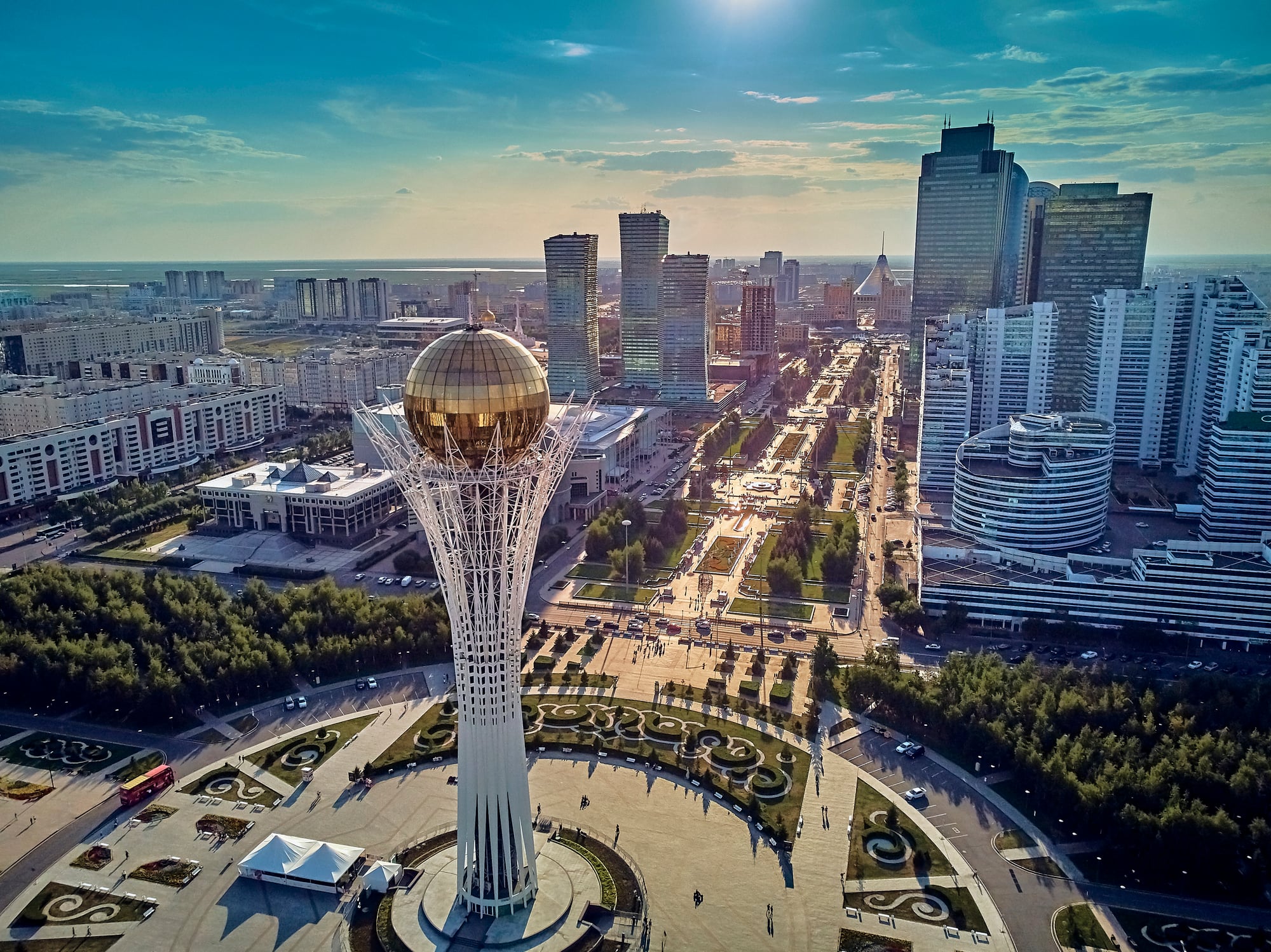
One step into Kazakhstan and you find open skies stretching farther than memory. Ninth biggest on Earth by ground space, it spreads wide between the Caspian Sea to the left and China off to the right.
Not much talk reaches here in daily chatter – Central Asia stays out of view for many across the Atlantic. Picture confusion more than clarity when U.S. minds try placing it, usually lumping it close to Russia without noticing what lies below.
Borders curl southward into Uzbekistan, then brush past Turkmenistan, nudge Kyrgyzstan, touch Tajikistan – all neighbors few recall. The true center people imagine for this part of the map sits actually beneath its lower edge.
The Map You Believe Is Real
Most folks stop learning about geography after middle school. Yet those textbook maps always seem to highlight whatever feels important right now.
That leaves your mind filled with gaps, twisted shapes, wrong guesses – nations floating far from their real spots. It’s not laziness or failure.
Just the natural outcome when location becomes factoids instead of framework. Funny thing? Once you spot the missing pieces, the world on paper suddenly seems worth looking at again.
More from Go2Tutors!

- The Romanov Crown Jewels and Their Tragic Fate
- 13 Historical Mysteries That Science Still Can’t Solve
- Famous Hoaxes That Fooled the World for Years
- 15 Child Stars with Tragic Adult Lives
- 16 Famous Jewelry Pieces in History
Like Go2Tutors’s content? Follow us on MSN.