16 Moments That Changed Maps Forever
Throughout history, certain moments have literally redrawn the world as we know it. These weren’t gradual changes that happened over decades – they were specific events that made cartographers everywhere scramble to update their maps.
From treaties signed in ornate palaces to natural disasters that moved entire coastlines, these pivotal moments shaped the political and physical geography we see today. Some changed borders through war, others through negotiation, while a few resulted from pure geological forces.
Here’s a list of 16 moments that forced the world to redraw its maps and rethink its boundaries.
The Treaty of Westphalia (1648)
This treaty didn’t just end the Thirty Years’ War – it basically invented the modern concept of national sovereignty. Before 1648, Europe was a confusing patchwork of overlapping authorities where the Pope, Holy Roman Emperor, and various nobles all claimed different pieces of the same territories.
The treaty established that each ruler had absolute authority within their borders. This created the foundation for how nations operate today, though the concept seems obvious now.
The Louisiana Purchase (1803)

Napoleon needed cash fast, while Thomas Jefferson wanted to secure New Orleans for American trade. What started as a simple real estate deal ended up doubling the size of the United States overnight – for about three cents per acre, no less.
America bought 828,000 square miles of territory, stretching from the Mississippi River to the Rocky Mountains. The purchase fundamentally altered the balance of power in North America.
Like Go2Tutors’s content? Follow us on MSN.
The Berlin Conference (1884–1885)
European powers gathered in Berlin to carve up Africa like a giant cake – yet not a single African representative was invited to the party. They drew straight lines across the continent with rulers, completely ignoring existing tribal territories, languages, and cultures.
These arbitrary borders created many of the conflicts that still plague Africa today. Drawing maps in conference rooms rarely works out well for the people actually living there.
The Dissolution of the Soviet Union (1991)
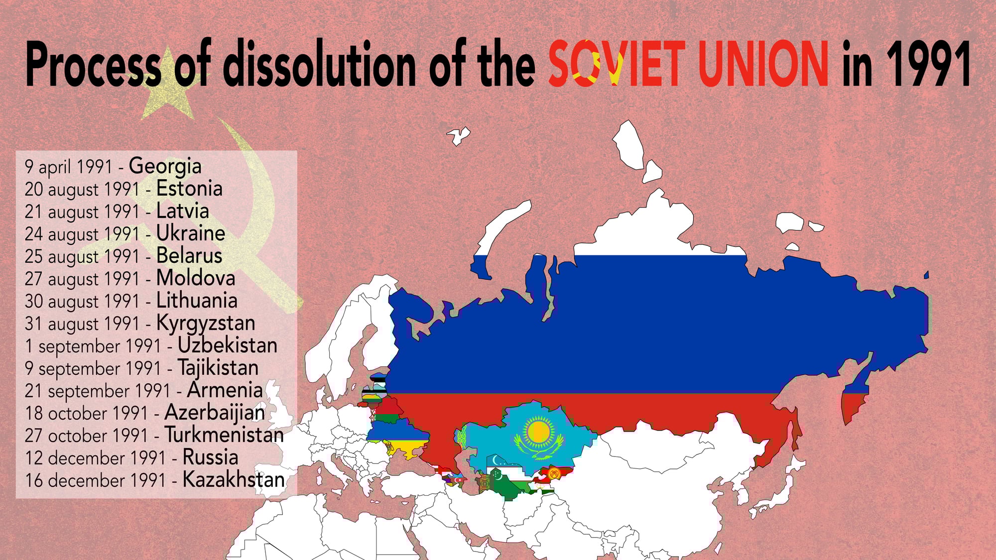
When the USSR collapsed, it was like watching a giant jigsaw puzzle explode into 15 separate pieces. Countries that had been absorbed decades earlier suddenly found themselves independent again – others had to figure out what independence even meant.
The event created new nations overnight while redrawing the entire map of Eastern Europe and Central Asia. Geopolitical analysts still study this massive territorial reorganization.
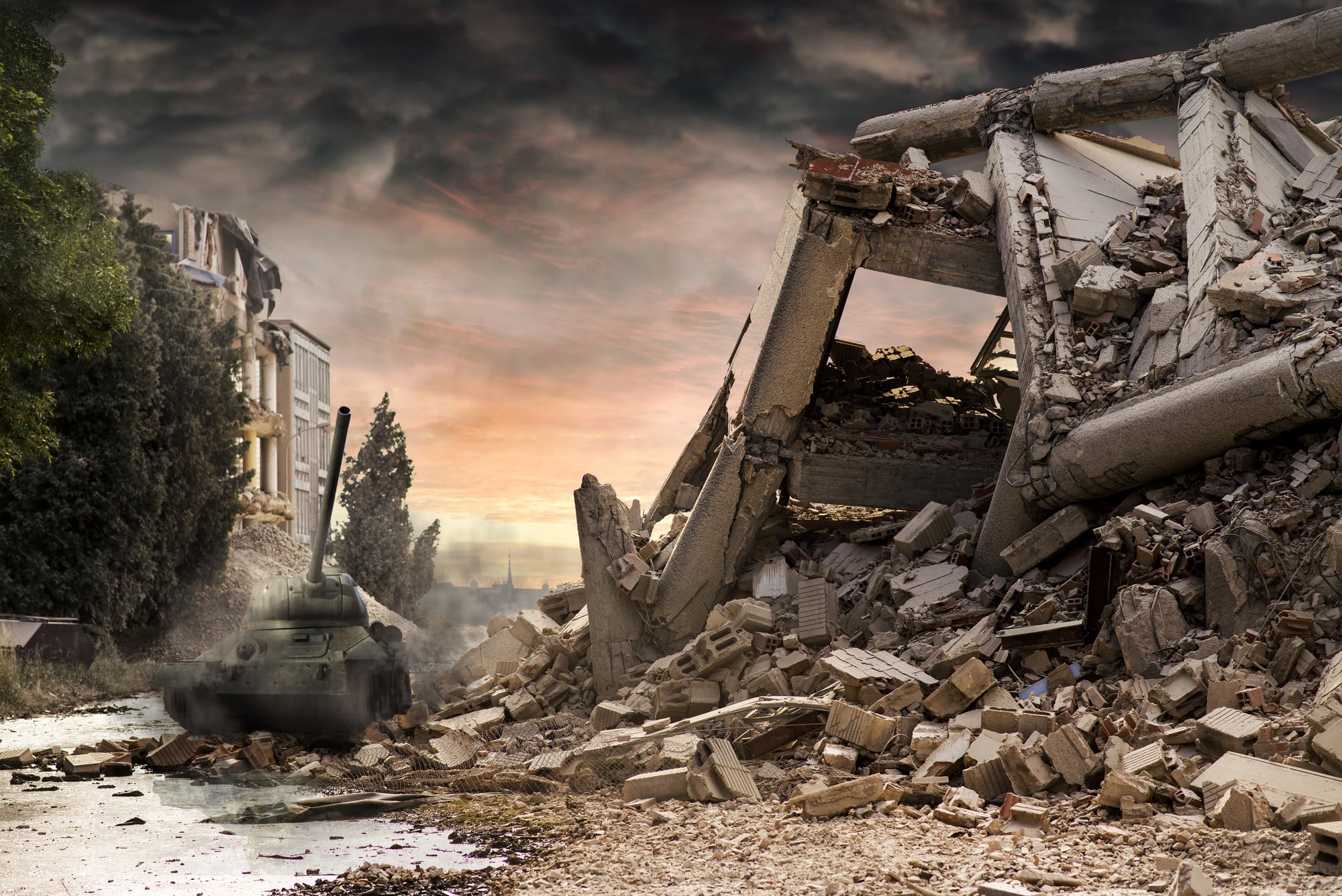
The Partition of India (1947)
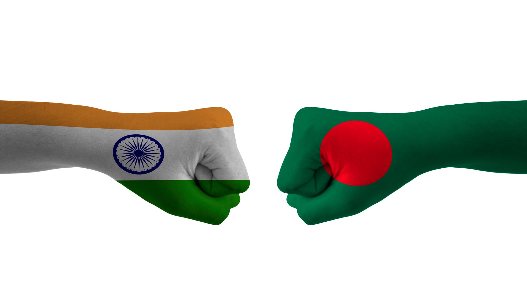
British colonial administrators had just a few weeks to divide the Indian subcontinent into two separate countries based on religion. They drew hasty lines that split communities, families, and even individual farms between India and Pakistan – decisions made with inadequate knowledge of local demographics.
The rushed partition triggered one of the largest mass migrations in human history. Border disputes from this period continue to influence regional politics today.
Like Go2Tutors’s content? Follow us on MSN.
The Sykes-Picot Agreement (1916)
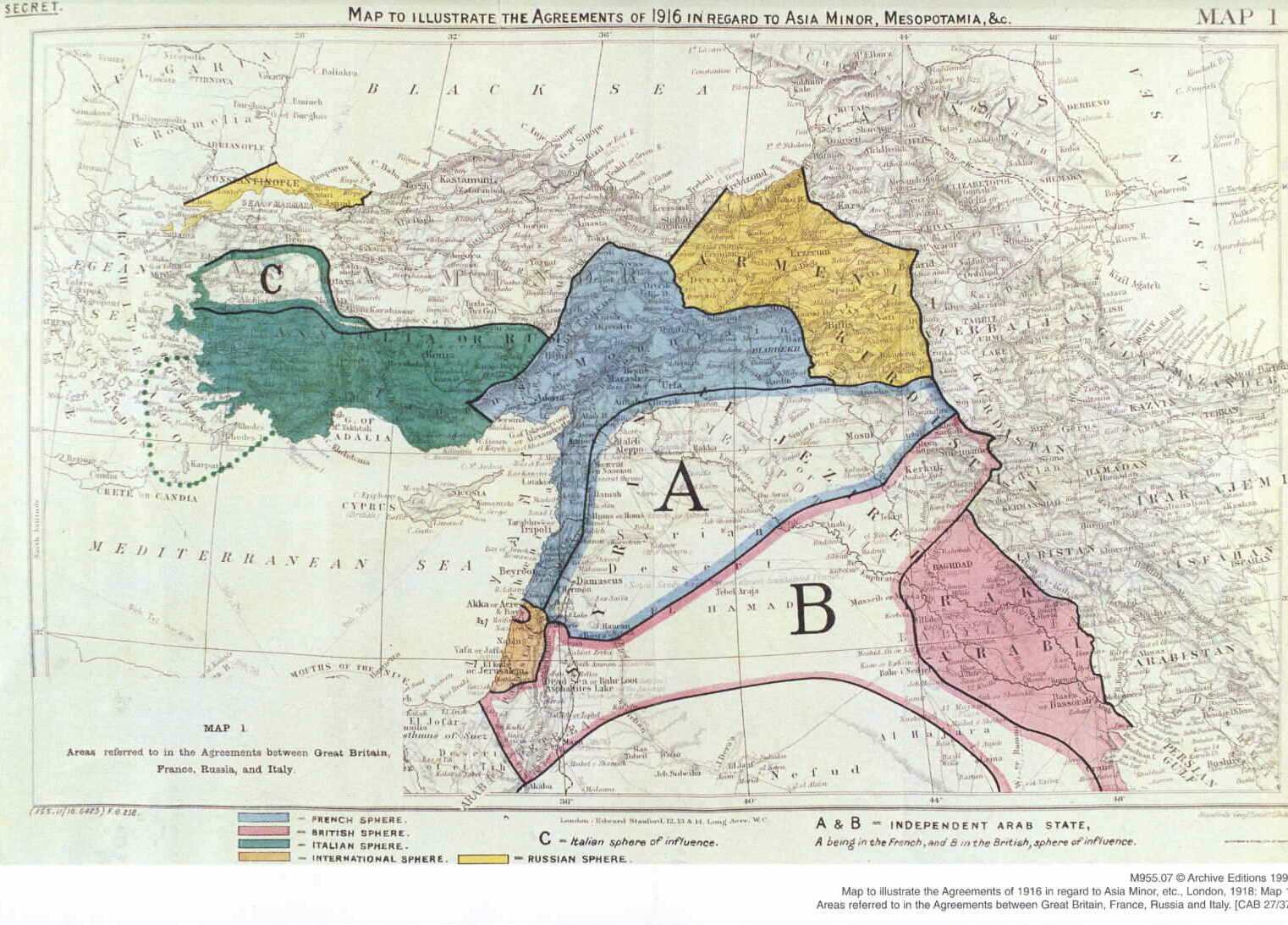
Two diplomats, one British and one French, sat down with a map of the Ottoman Empire and drew lines that would create modern Iraq, Syria, Lebanon, and Jordan. They carved up the Middle East with little regard for ethnic or religious boundaries.
The agreement created artificial nations that grouped together people who’d never considered themselves part of the same community. Its ramifications echo through contemporary Middle Eastern conflicts.
The Alaska Purchase (1867)
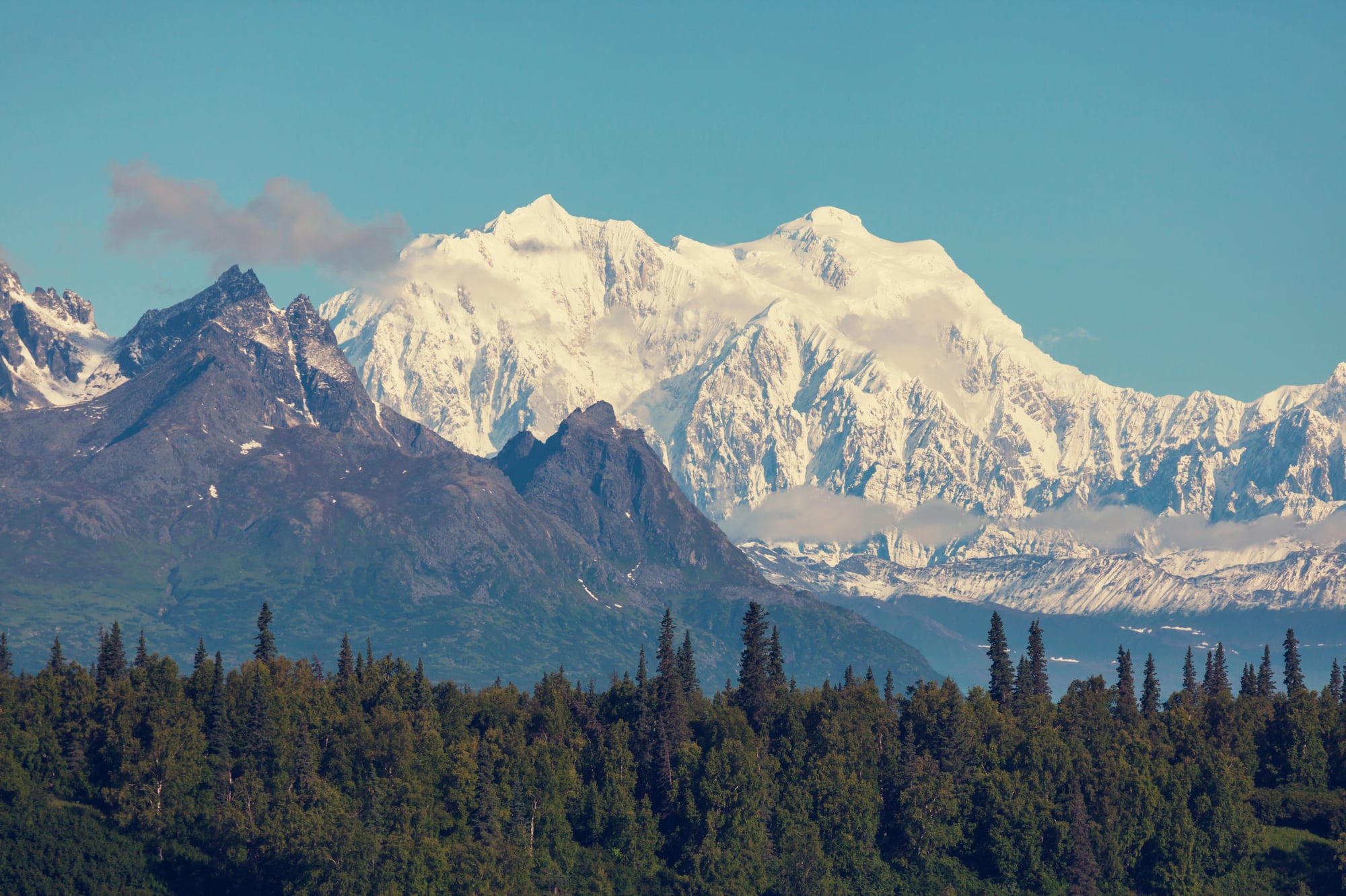
Russia was broke after the Crimean War, plus they figured Alaska was too far away to defend properly anyway. They sold the massive territory to the United States for $7.2 million – which Americans initially called “Seward’s Folly” after the Secretary of State who negotiated the deal.
The purchase added 586,000 square miles to American territory. Eventually, the discovery of gold and oil proved the transaction’s worth.
The Treaty of Versailles (1919)
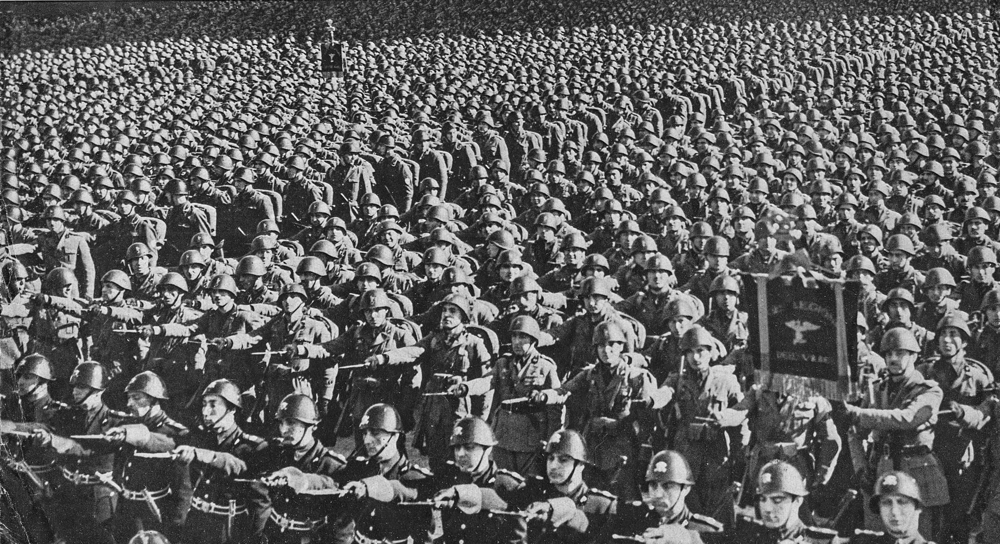
World War I ended with the victorious powers completely redrawing the map of Europe – though not without controversy. The treaty broke up the Austro-Hungarian and Ottoman empires while creating new countries like Czechoslovakia and Yugoslavia.
It established the principle that ethnic groups should have their own nations – even if the new borders didn’t always succeed in matching linguistic and cultural boundaries.
Like Go2Tutors’s content? Follow us on MSN.
The Suez Canal Opening (1869)
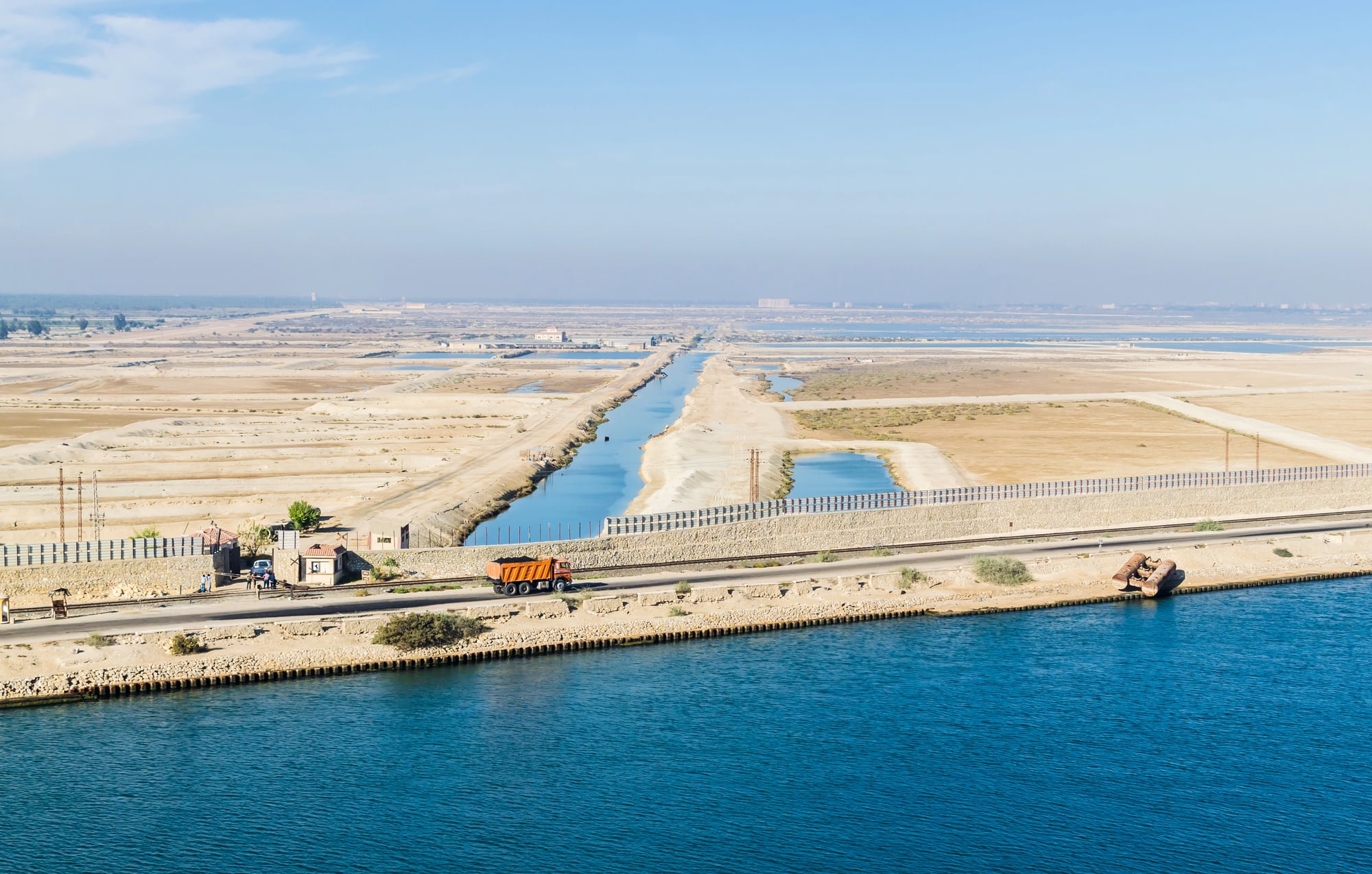
When engineers finally connected the Mediterranean and Red Seas with a man-made waterway, they didn’t just create a shortcut for ships – they fundamentally changed global trade routes. The canal cut thousands of miles off the journey between Europe and Asia.
This made the Middle East strategically crucial while shifting economic power away from traditional overland trade routes.
The Great Lisbon Earthquake (1755)
This massive earthquake and tsunami completely destroyed Lisbon – reshaping the Portuguese coastline in the process. The disaster killed over 100,000 people, forcing Portugal to rebuild its capital from scratch.
The event also shifted European intellectual thinking about natural disasters and divine punishment – influencing how societies planned and built their cities going forward.
The Mexican-American War Treaty (1848)
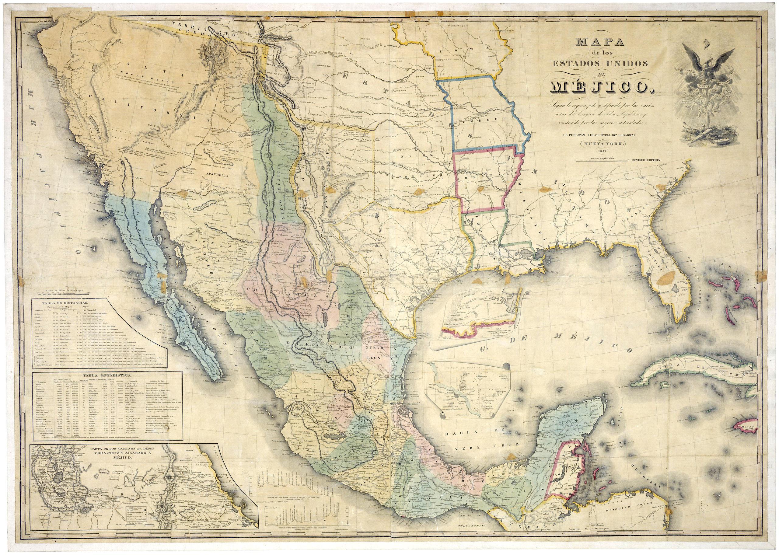
The Treaty of Guadalupe Hidalgo ended the Mexican-American War and transferred nearly half of Mexico’s territory to the United States. This single agreement added California, Nevada, Utah, and parts of several other states to America.
The treaty fundamentally changed the continental balance of power. It also set the stage for the California Gold Rush that would soon follow.
Like Go2Tutors’s content? Follow us on MSN.
The Scramble for Antarctica (1959)
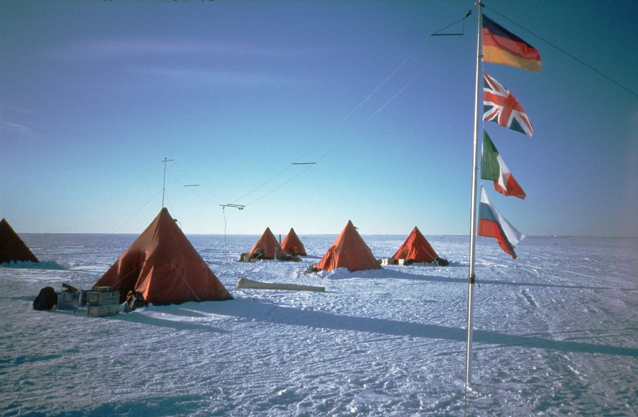
The Antarctic Treaty froze all territorial claims on the continent and turned it into a scientific preserve. Seven countries had claimed wedge-shaped slices of Antarctica, yet the treaty put all disputes on ice.
It established the principle that the continent belongs to all humanity for peaceful scientific research. This created a unique model for international cooperation.
The Aral Sea Disaster (1960s–2000s)
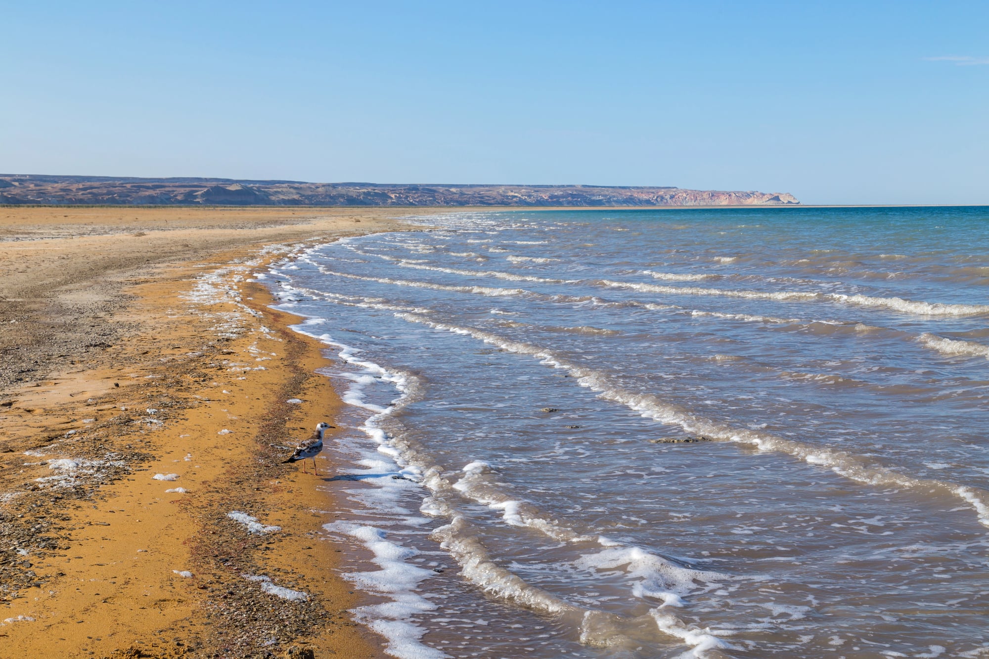
Soviet irrigation projects diverted the rivers feeding the Aral Sea, causing one of the world’s largest lakes to shrink by 90 percent. The environmental catastrophe literally changed the map of Central Asia.
It left behind a salt desert where there used to be a major body of water. Former fishing ports now sit hundreds of miles from the nearest water, creating ghost towns in the process.
The Creation of Israel (1948)
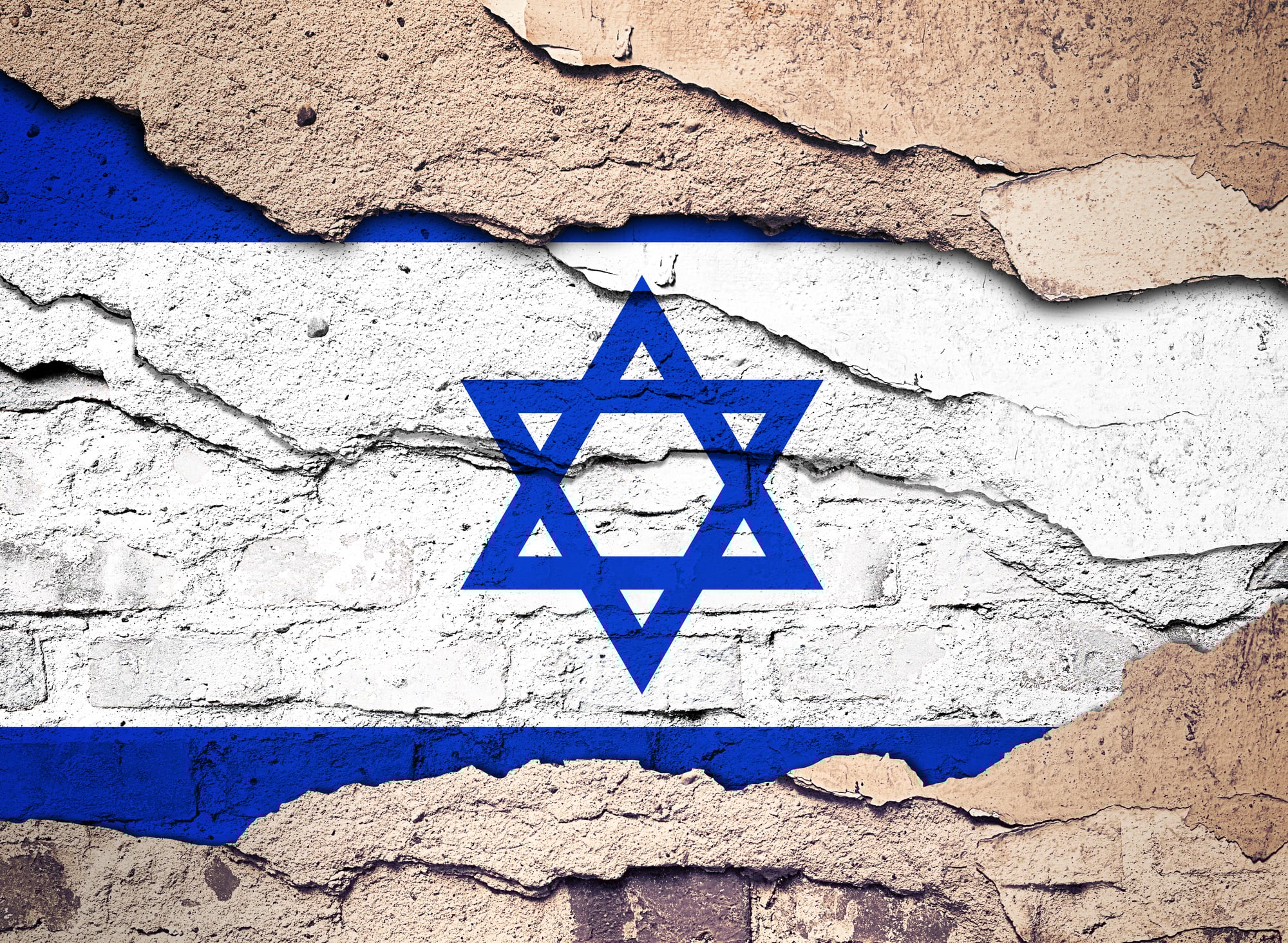
The United Nations partition plan carved up British Palestine into separate Jewish and Arab states, creating Israel and setting aside land for a Palestinian state. The plan triggered immediate war and decades of conflict.
Borders changed multiple times through various wars and negotiations. The original UN map bears little resemblance to current political boundaries in the region, though the territorial disputes continue.
Like Go2Tutors’s content? Follow us on MSN.
The Unification of Germany (1990)
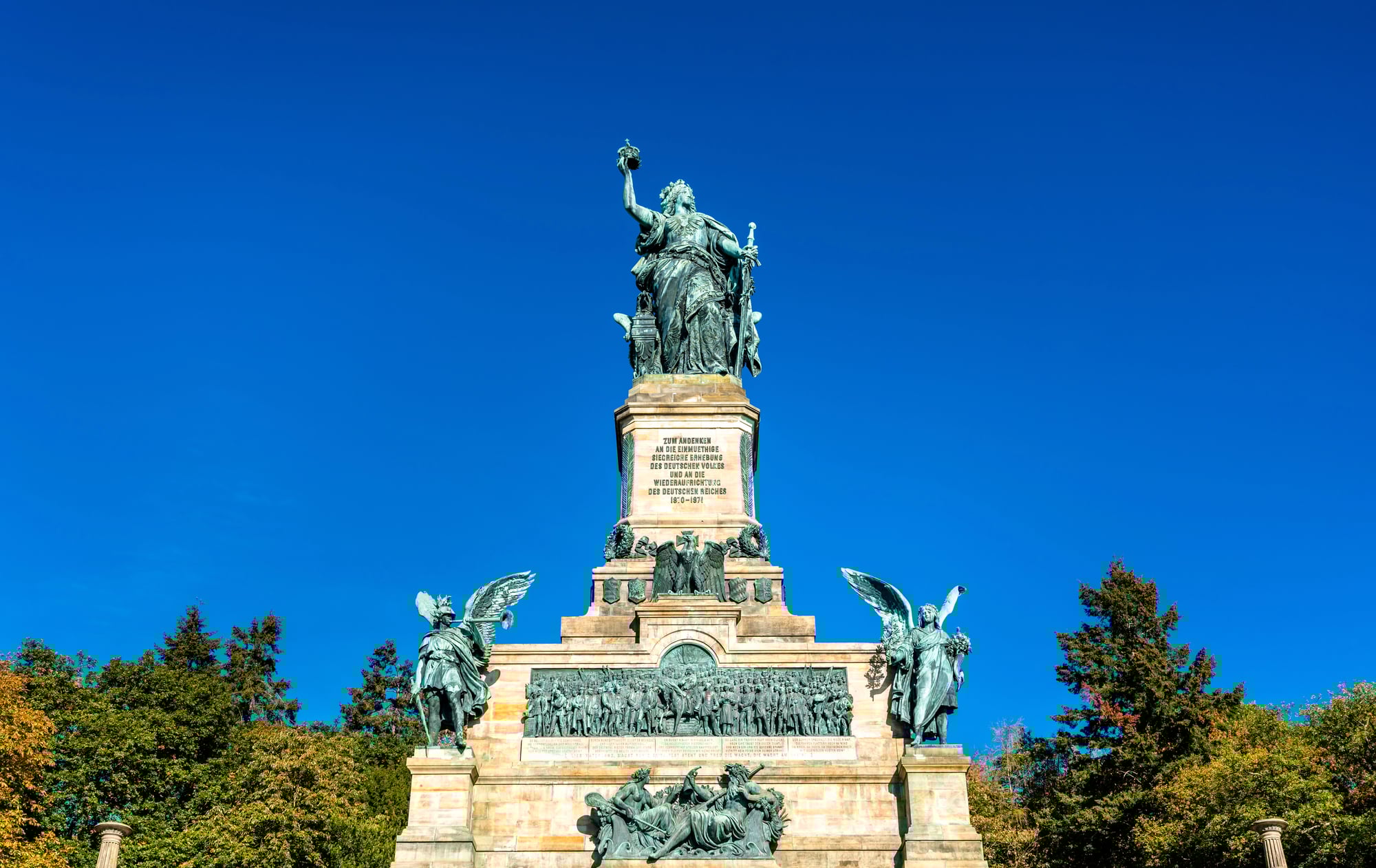
When the Berlin Wall fell, it wasn’t just a symbolic victory but a literal erasure of the border between East and West Germany. The reunification merged two countries that had developed completely different economic and political systems over 45 years.
Maps had to be redrawn to show one Germany instead of two. The event ended one of the Cold War’s most visible divisions while creating new challenges for integration.
The Panama Canal Construction (1904–1914)
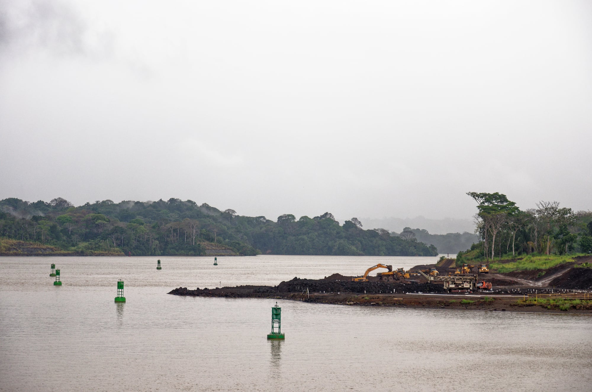
American engineers didn’t just build a canal but created an entirely new geographic feature that connects two oceans. The project required moving massive amounts of earth while fundamentally altering the landscape of Central America.
The canal made Panama strategically vital and changed global shipping patterns. Its construction, however, came at enormous human cost.
When History Rewrites Geography
These pivotal moments remind us that the maps we take for granted today are really just snapshots of particular moments in time. Borders that seem permanent can disappear overnight, while new countries can emerge from diplomatic agreements or natural disasters.
The world’s political and physical geography continues to evolve, proving that today’s maps are tomorrow’s historical curiosities worth studying.
Like Go2Tutors’s content? Follow us on MSN.
More from Go2Tutors!

- 18 Unexpectedly Valuable Collectibles You Might Have Lying Around
- 20 Little-Known Historical Battles That Had Huge Consequences
- 20 Historical Artifacts That Scientists Can’t Explain
- 15 Inventions That Were Immediately Banned After Being Created
- 20 Actors Who Were Almost Cast in Iconic Roles
Like Go2Tutors’s content? Follow us on MSN.