20 Maps Showing Borders That No Longer Exist
Political borders feel permanent while they’re in effect and look almost fictional a generation later. The maps below all once represented real, internationally recognized boundaries — territories, kingdoms, and unions that have since been redrawn entirely off the map.
Austria-Hungary
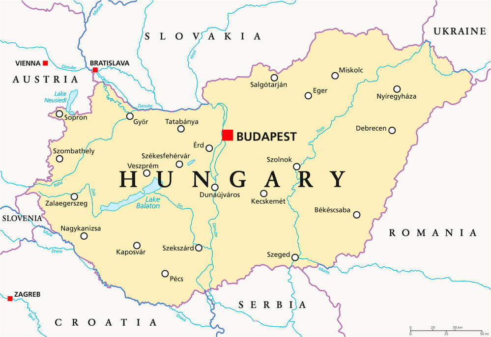
The Austro-Hungarian Empire controlled a vast, multiethnic territory across Central and Eastern Europe until its dissolution at the end of World War I in 1918. Its collapse gave rise to a patchwork of new or reestablished states including Czechoslovakia, Austria, Hungary, and portions of Poland, Romania, and Yugoslavia.
No map drawn after 1918 has ever again shown the empire’s borders as a single political unit.
Czechoslovakia
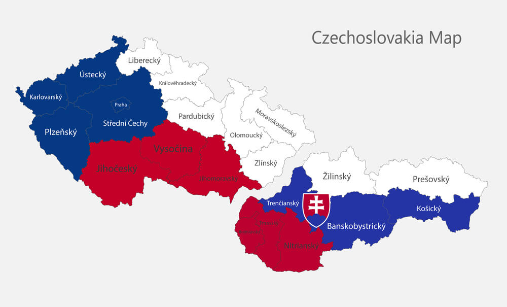
Formed from portions of the collapsed Austro-Hungarian Empire in 1918, Czechoslovakia existed as a unified state for most of the 20th century, save for a wartime partition under Nazi occupation, before dissolving peacefully in 1993 into the separate Czech Republic and Slovakia. The split, often called the Velvet Divorce for its lack of violence, removed Czechoslovakia’s borders from the map entirely rather than merely redrawing an internal line.
Yugoslavia
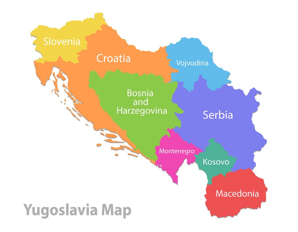
The Socialist Federal Republic of Yugoslavia united several Balkan nations under a single government from the end of World War II until its violent breakup through the 1990s. The wars that accompanied its dissolution produced the modern states of Slovenia, Croatia, Bosnia and Herzegovina, North Macedonia, Serbia, Montenegro, and Kosovo.
No unified Yugoslav border has existed on any map since the breakup concluded.
The Soviet Union
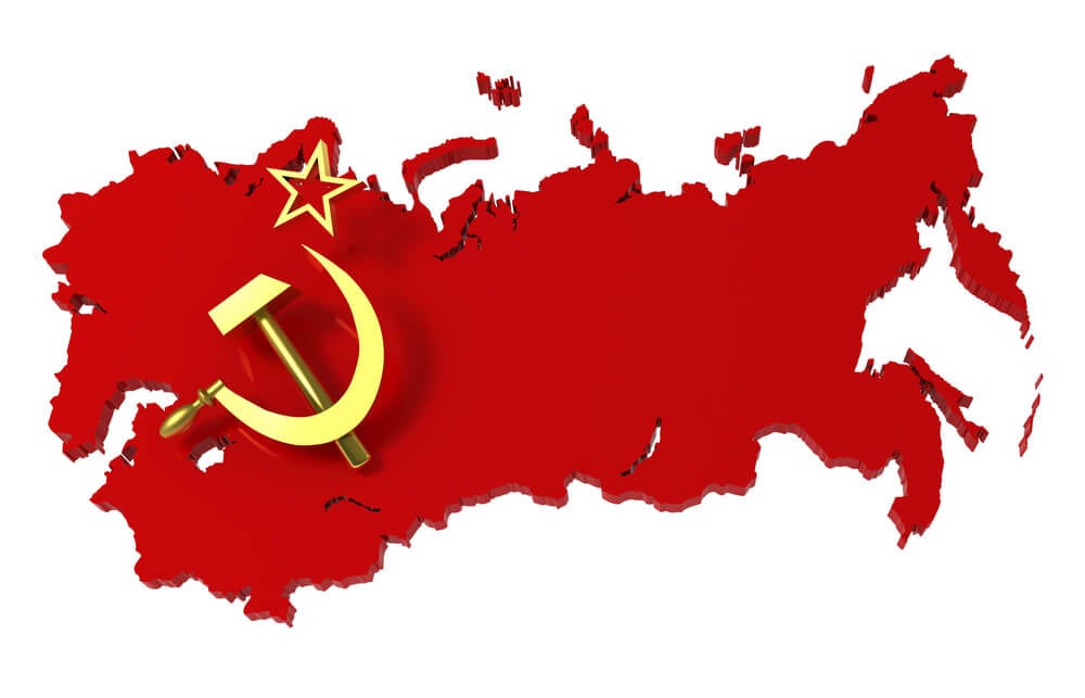
The Union of Soviet Socialist Republics spanned a substantial portion of Eastern Europe and Northern Asia from 1922 until its dissolution in 1991, at which point it fractured into fifteen separate independent nations. The scale of the border redrawing that followed was among the largest single geopolitical shifts of the 20th century.
Maps from before 1991 depict a single contiguous territory that has no modern equivalent.
East Germany and West Germany
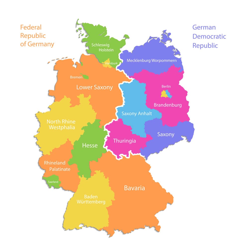
Germany was divided into the Federal Republic of Germany and the German Democratic Republic following World War II, separated by one of the most heavily fortified borders in modern history, including the Berlin Wall. The two states reunified in 1990 following the wall’s fall the previous year, erasing the internal division from the map entirely.
Maps from the Cold War era routinely showed a divided Germany that no younger reader today would recognize.
The British Raj
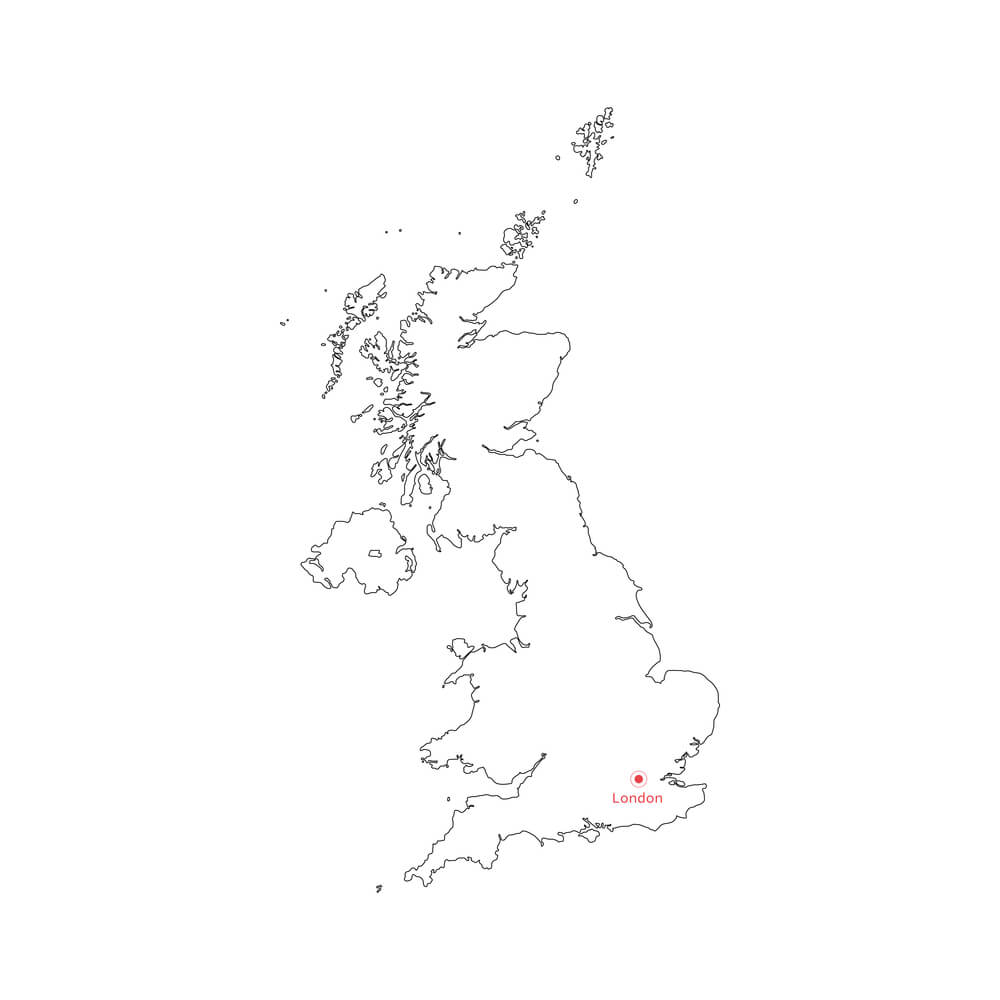
British colonial India encompassed the territory of modern India, Pakistan, and Bangladesh as a single administrative unit until its 1947 partition into India and Pakistan, with Bangladesh later splitting from Pakistan in 1971. The partition itself produced one of the largest mass migrations in human history, accompanied by significant violence.
No map since 1947 has shown the subcontinent under a single colonial border.
French Indochina
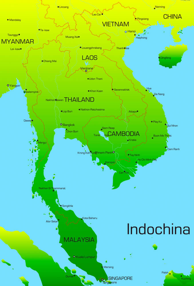
France’s colonial territory of Indochina encompassed modern Vietnam, Laos, and Cambodia as a unified administrative region until a series of independence movements and wars dissolved it between the 1940s and 1950s. Vietnam itself was subsequently divided into North and South Vietnam before reunifying under communist rule in 1975.
The colonial-era borders bear little resemblance to the separate sovereign nations that occupy the same territory today.
North Vietnam and South Vietnam
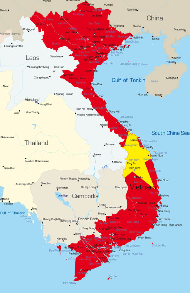
Following the end of French colonial rule, Vietnam was divided at the 17th parallel into separate northern and southern states in 1954, a division that persisted through the Vietnam War until North Vietnamese forces captured Saigon in 1975. The reunification that followed erased the internal border entirely, producing the single unified Vietnam that appears on maps today.
Rhodesia
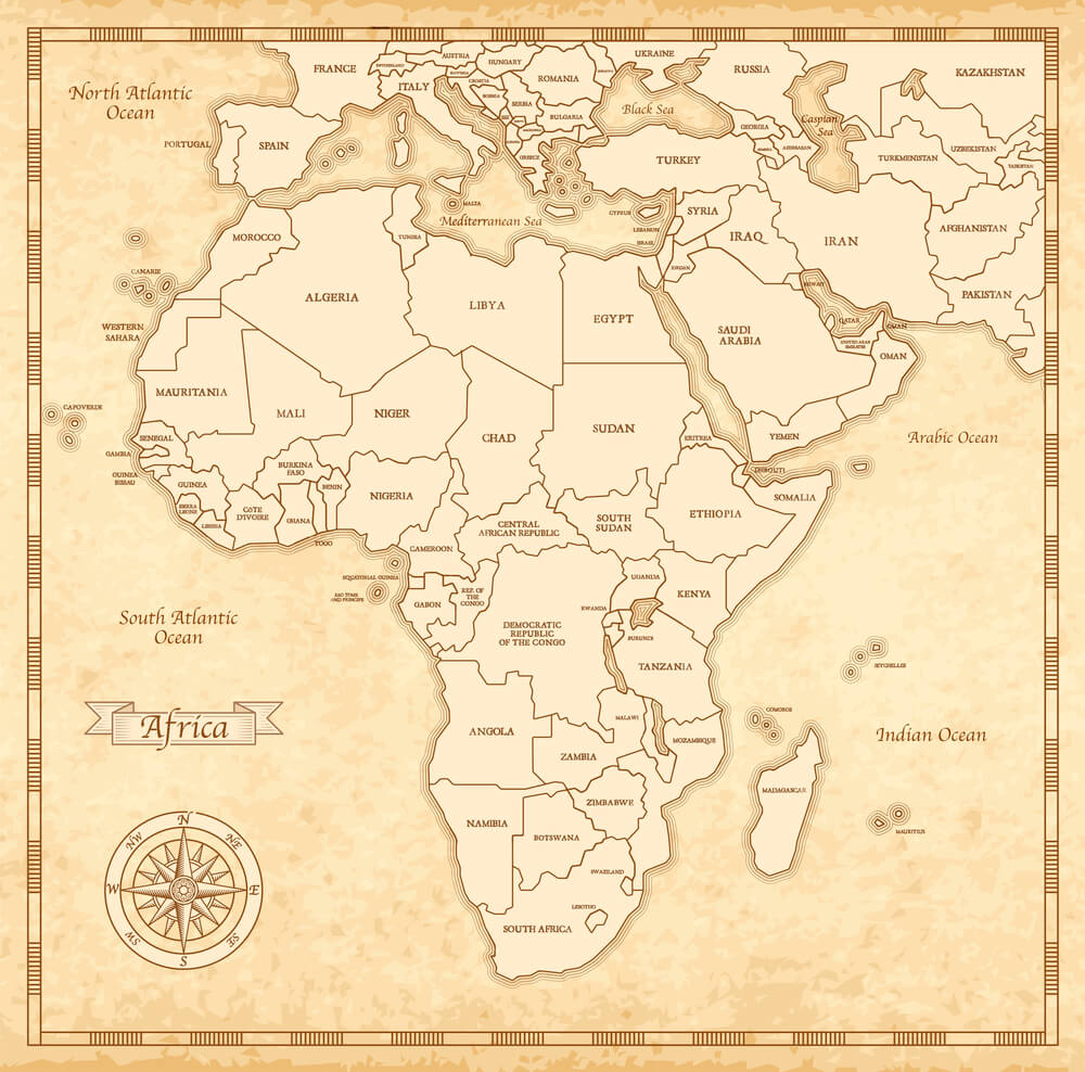
The self-declared state of Rhodesia, governed by a white minority administration following its unilateral declaration of independence from Britain in 1965, existed in a state of limited international recognition until a 1979 peace agreement led to Zimbabwe’s official independence and international recognition in 1980. Almost no other government ever formally recognized Rhodesia’s borders during its existence, making it one of the more diplomatically isolated entities to have appeared on maps of the era.
British Mandate Palestine
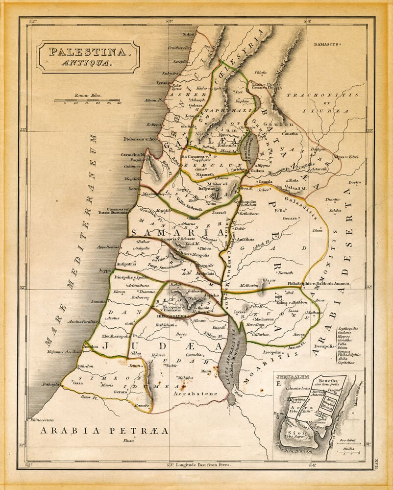
Following the collapse of the Ottoman Empire after World War I, Britain administered the territory of Palestine under a League of Nations mandate until 1948, when British withdrawal and the establishment of Israel reshaped the region’s borders entirely. The mandate’s borders bear only partial resemblance to the current borders of Israel and the Palestinian territories.
Maps from the mandate period remain a frequent reference point in ongoing regional disputes.
The Free City of Danzig

Established after World War I as an independent city-state under League of Nations protection rather than belonging fully to either Germany or Poland, Danzig existed as a distinct political entity until its annexation by Nazi Germany in 1939. The city, now the Polish city of Gdańsk, has not existed as an independent political unit since.
Its unusual status made it a uniquely small entry among 20th-century sovereign borders.
Manchukuo
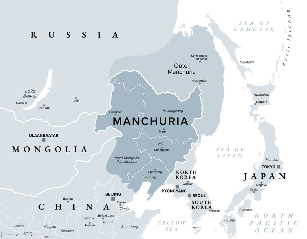
Manchukuo was a Japanese puppet state established in northeastern China in 1932, governed nominally by the last Qing emperor Puyi but effectively controlled by Japanese military authorities. It ceased to exist in 1945 following Japan’s defeat in World War II, and the territory was reincorporated into China.
No government beyond Japan and a small number of allied states ever granted it full diplomatic recognition.
The Trucial States
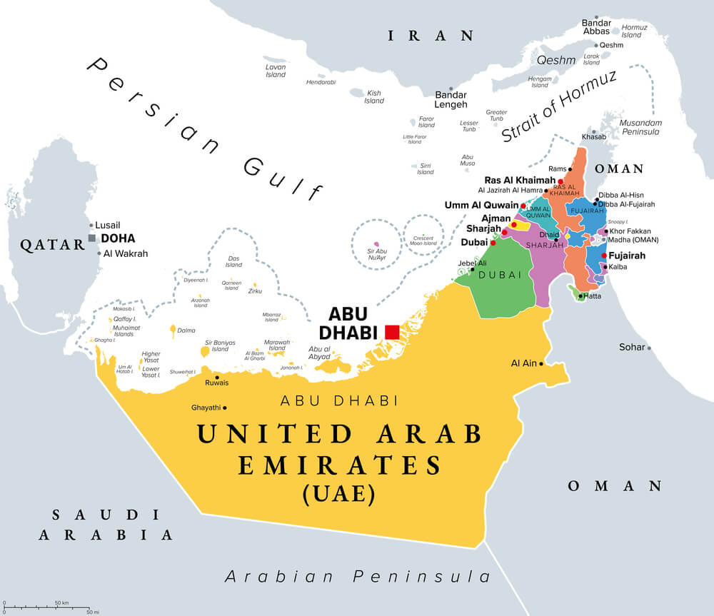
The Trucial States were a group of British-protected sheikhdoms along the Persian Gulf coast, governed under separate treaty arrangements with Britain until their 1971 unification into the single nation of the United Arab Emirates. Maps predating the union show seven separate small territories rather than the unified federal state that exists today.
The transition remains one of the more peaceful examples of colonial-era fragmentation resolving into unification rather than further division.
The Kingdom of Sikkim
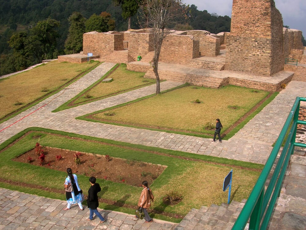
Sikkim existed as an independent Himalayan kingdom, later an Indian protectorate, until a 1975 referendum led to its full incorporation as a state of India, ending its separate sovereign status entirely. Maps prior to 1975 depict Sikkim as a distinct political entity bordering both Nepal and Tibet rather than as a constituent part of India.
Its absorption remains one of the more understated territorial changes of the later 20th century.
Tibet Prior to 1950
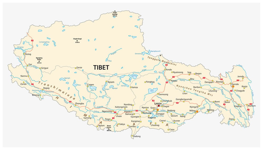
Tibet functioned with a significant degree of de facto independent governance for the first half of the 20th century before the People’s Republic of China asserted direct control beginning in 1950. Maps from the earlier period often depicted Tibet with borders distinct from China proper, a depiction that has not been reflected in officially recognized maps for decades.
The territory’s status remains a subject of ongoing international political debate.
The Republic of Texas
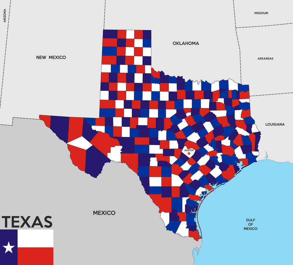
Texas existed as an independent republic from 1836, following its separation from Mexico, until its 1845 annexation by the United States. Maps from that brief period show Texas with its own internationally recognized borders as a sovereign nation, distinct from both Mexico and the United States.
Its independent status lasted less than a decade before disappearing from the map entirely.
The Confederate States of America
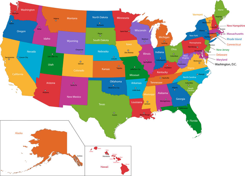
The Confederate States of America claimed a separate sovereign territory across the American South from 1861 until its defeat in the Civil War in 1865, though it never achieved widespread international diplomatic recognition. Its borders, drawn along the seceding states’ boundaries, disappeared entirely from official maps following the Confederacy’s surrender and the subsequent reincorporation of its territory into the United States.
No government today recognizes any version of its claimed borders.
The Kingdom of Hawaii
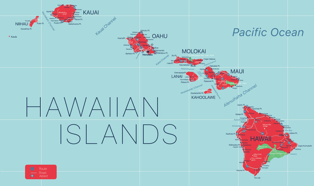
The Kingdom of Hawaii existed as an internationally recognized independent nation throughout most of the 19th century until a coup, backed by American business interests, overthrew the monarchy in 1893, leading to eventual U.S. annexation in 1898. Maps from before the overthrow depict Hawaii with its own diplomatic borders and foreign relations entirely distinct from the United States.
Its absorption remains a subject of ongoing political and legal debate in Hawaii today.
Newfoundland
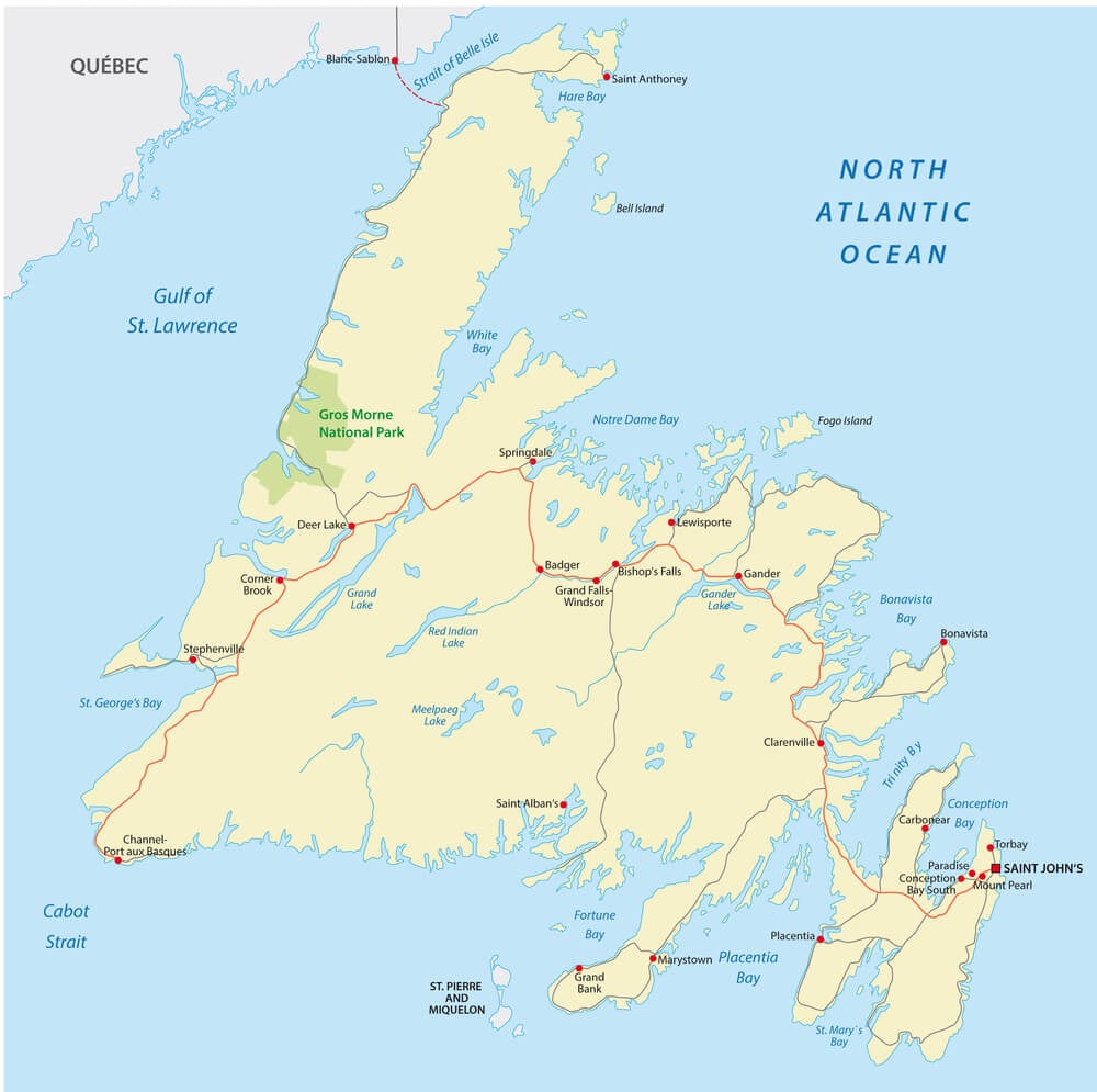
Newfoundland existed as a separate British dominion, with its own government distinct from Canada, until financial crisis during the Great Depression led to the suspension of self-governance and eventual union with Canada in 1949. Maps from the earlier 20th century depict Newfoundland as a distinct dominion rather than as a Canadian province.
Its merger with Canada remains a relatively late addition among the country’s provincial borders.
Zanzibar Prior to Union With Tanganyika
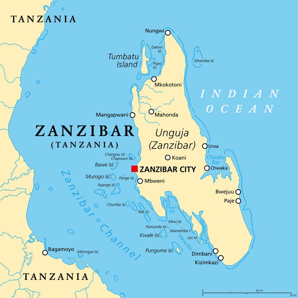
Zanzibar existed as a separate sovereign nation for a brief period following its independence from Britain in 1963, before a 1964 revolution and subsequent union with mainland Tanganyika created the modern nation of Tanzania. Maps from the brief independence period show Zanzibar as its own distinct state rather than as the semi-autonomous region it is today.
The union remains one of the shorter-lived instances of complete national independence on this list.
What a Border Really Represents
A border on a map isn’t really a physical fact — it’s a claim, backed by whatever combination of treaty, war, or political will happened to hold at the moment the map was printed. Every line on this list was, at some point, treated as permanent by the people living inside it.
That’s worth remembering the next time a current map feels fixed and obvious. Most of today’s borders are simply the ones that haven’t been redrawn yet, and the history above suggests that’s less a guarantee than a matter of time.
More from Go2Tutors!

- The Romanov Crown Jewels and Their Tragic Fate
- 13 Historical Mysteries That Science Still Can’t Solve
- Famous Hoaxes That Fooled the World for Years
- 15 Child Stars with Tragic Adult Lives
- 16 Famous Jewelry Pieces in History
Like Go2Tutors’s content? Follow us on MSN.