25 Maps That Guided Explorers in the Wrong Direction
Cartographers worked from secondhand reports, garbled translations, and outright guesses, and once a mistake made it onto a printed map, it could survive for centuries. Sailors and surveyors trusted these documents with their lives, chasing coastlines and islands that turned out to be nothing more than ink.
The Ptolemaic World Map That Shrank the Atlantic
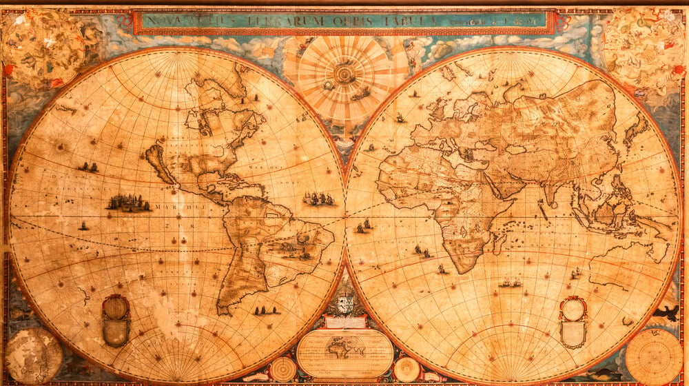
Claudius Ptolemy’s second-century geography, revived by European scholars in the 1400s, badly underestimated the size of the Earth and stretched Asia far to the east. Christopher Columbus relied on a version of this calculation to argue that Asia lay within reach of a westward Atlantic crossing.
The error was not corrected until explorers ran into an unexpected landmass instead. Without Ptolemy’s miscalculation, Columbus’s pitch to the Spanish crown likely would have been dismissed outright.
California Drawn as an Island
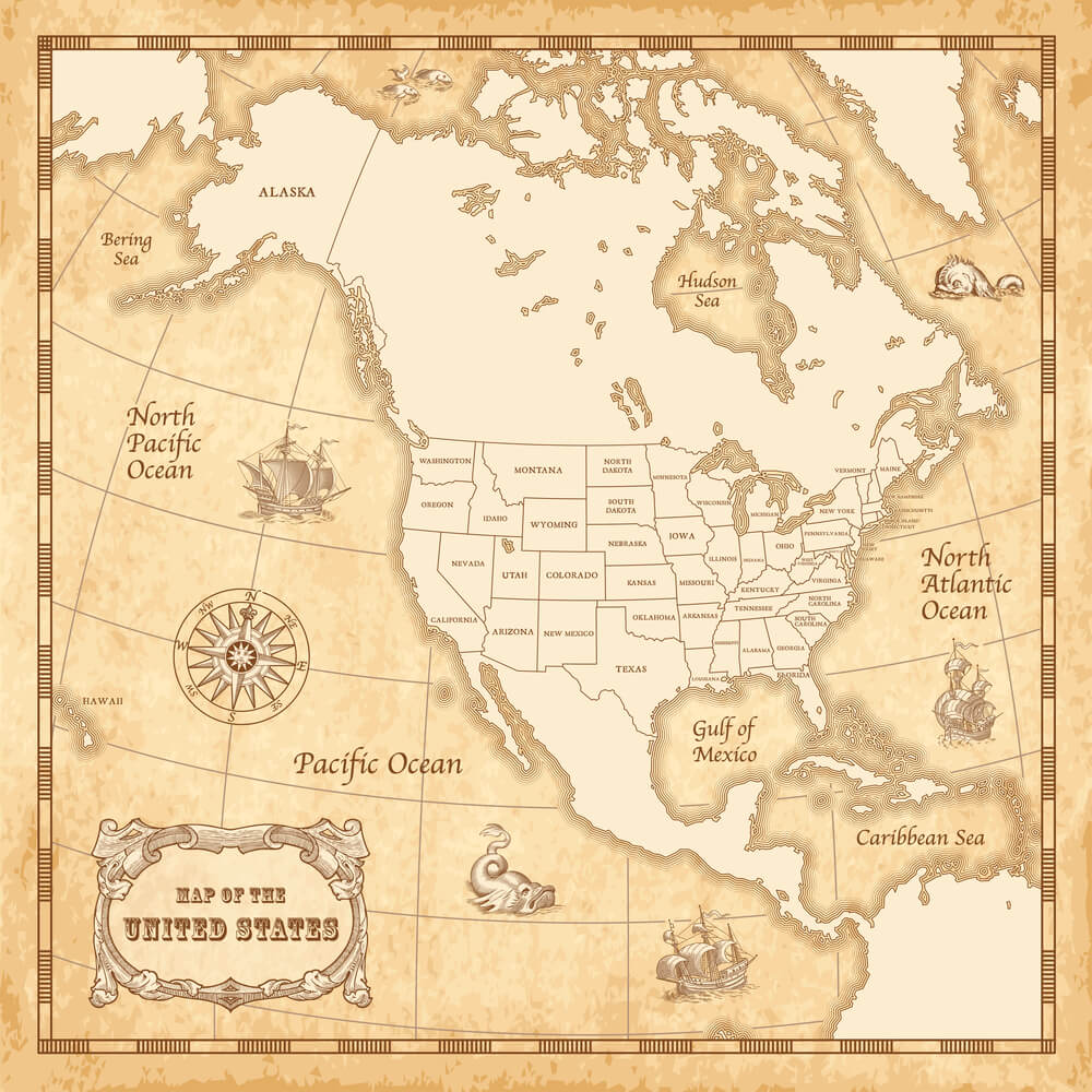
For roughly 150 years, European maps showed California as a separate island floating off the coast of North America, a mistake traced to a mistranslated Spanish expedition report from the 1500s. The error appeared on maps published in London, Paris, and Amsterdam well into the 1700s, misleading colonial planners about the region’s geography.
Ships sent to find a strait separating California from the mainland found nothing, because no such strait existed. King Ferdinand VI of Spain eventually had to issue a royal decree in 1747 declaring California to be attached to the continent after all.
The Sea of the West
Eighteenth-century French cartographers, eager to fill in the unexplored interior of North America, invented a vast inland sea stretching toward the Pacific Northwest. The Sea of the West appeared on official maps distributed to fur traders and government expeditions, despite no one having ever seen it.
Explorers searching for a water route across the continent wasted months following rivers that led nowhere near the imagined coastline. The invented sea persisted on maps for decades before overland expeditions finally proved the interior was solid ground.
The Mountains of Kong
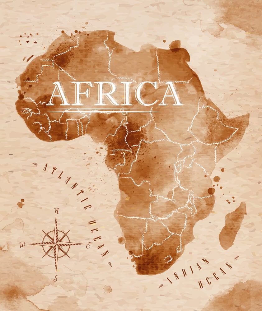
A mountain range stretching across West Africa appeared on maps from the 1790s through the late 1800s, supposedly explaining the source of several major rivers. The range originated from a single explorer’s account and was copied uncritically by mapmaker after mapmaker for a century.
British officer Louis Binger finally traveled through the supposed location in 1888 and reported flat terrain with no mountains at all. Geographers had built an entire river-source theory around a landform that never existed.
Terra Australis, the Continent That Wasn’t
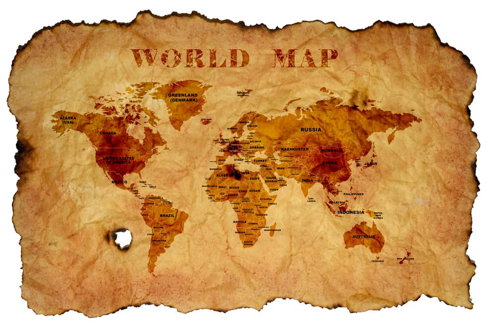
Ancient Greek philosophers reasoned that a massive southern landmass must balance the continents of the Northern Hemisphere, and mapmakers obliged by drawing one in for over a thousand years. Explorers including James Cook spent years searching the South Pacific for this supposed continent, sailing into the Antarctic Circle multiple times without finding it.
Cook’s voyages in the 1770s finally proved that if a southern continent existed, it lay much farther south and was far smaller than imagined. The real Antarctica was not confirmed until nearly fifty years later.
Hy-Brasil, the Phantom Island off Ireland
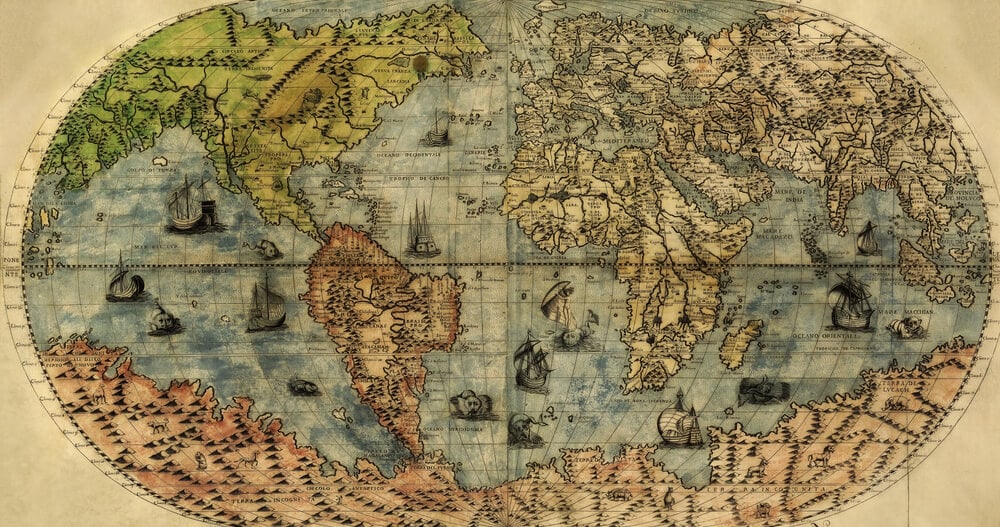
Irish folklore described a mist-shrouded island west of Ireland that appeared once every seven years, and mapmakers plotted it as a real place from the 1300s into the 1800s. Expeditions were launched specifically to locate Hy-Brasil, including at least one Bristol voyage in 1480 that returned empty-handed.
The island appeared on British Admiralty charts as late as 1865, well after most educated observers had dismissed it as legend. It was finally dropped from official navigational maps only after repeated failed sightings.
The Isle of Frisland
A large island south of Iceland showed up on maps beginning with the 1558 Zeno map, supposedly based on a fourteenth-century Venetian voyage. Frisland appeared on charts used by explorers searching the North Atlantic for over a century, confusing efforts to correctly locate Greenland and other genuine landmasses.
Martin Frobisher’s 1576 expedition reportedly sighted and even landed on what he believed was Frisland, though modern historians think he had actually reached Greenland. The island vanished from maps only once systematic Arctic surveys replaced secondhand Venetian claims.
Rupes Nigra, the Magnetic Mountain at the Pole
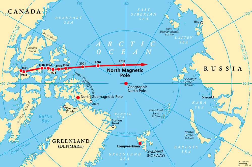
Medieval and Renaissance maps placed a colossal black mountain of magnetic rock at the North Pole, supposedly explaining why compass needles pointed north. The theory drew on classical ideas about magnetism and appeared on influential charts including versions based on the Zeno map.
Arctic explorers navigating by compass had no reason to doubt the concept, since the needle’s behavior seemed to confirm it. The idea persisted until the true nature of Earth’s magnetic field was better understood in the 1800s.
The Mountains of the Moon and the Nile’s Source

Ptolemy’s ancient description of snow-capped mountains feeding the Nile from Central Africa appeared on maps for nearly two thousand years before anyone confirmed or denied it. Nineteenth-century explorers including Richard Burton and John Hanning Speke launched major expeditions specifically to locate this mountain range and settle the source of the Nile.
Speke instead identified Lake Victoria as the primary source in 1858, a claim that was disputed for years afterward. The actual Rwenzori range exists but sits farther from the source than the old maps suggested.
Antillia, the Island of Seven Cities
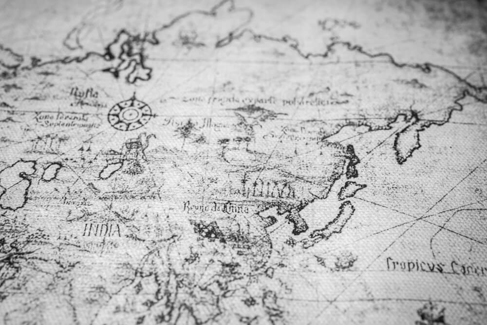
A legendary island supposedly settled by Portuguese bishops fleeing an eighth-century Muslim invasion appeared on Atlantic maps from the 1400s onward, drawn west of the Canary Islands. Antillia influenced the geographic thinking of several transatlantic expeditions, including proposals that cited it as a possible waypoint.
Some historians argue the legend fed directly into Columbus’s confidence that land lay within reach across the ocean. No trace of the island or its seven golden cities was ever found.
Buss Island
English explorer Martin Frobisher’s fleet reported sighting a large island in the North Atlantic in 1578, and it was promptly added to maps as Buss Island. Whaling ships and later expeditions searched for Buss Island for over two centuries, with some captains claiming brief sightings that could never be confirmed.
The Royal Navy formally surveyed the reported location in the 1800s and found only open ocean. Modern historians suspect the original sighting was a mistaken observation of fog banks or icebergs.
The Kingdom of Prester John
Medieval European maps placed the realm of a legendary Christian king named Prester John somewhere in Asia and later in Africa, based on rumors with no verified source. The legend drove genuine diplomatic and exploratory missions, including Portuguese expeditions along the African coast searching for an ally against Islamic powers.
Ethiopia was eventually proposed as the “real” kingdom, and Portuguese envoys traveled there in the 1500s expecting to find Prester John’s descendants. They found an Ethiopian Christian kingdom, but not the mythical figure the legend had promised.
Sandy Island, Charted for a Century Too Long
A small island appeared in nautical charts and even Google’s satellite mapping data in the Coral Sea between Australia and New Caledonia, first recorded by a whaling ship in the 1870s. The supposed island was included on marine charts and scientific maps for over a hundred years.
An Australian research vessel sailed directly through its plotted coordinates in 2012 and found nothing but open sea over a thousand meters deep. Sandy Island was formally removed from hydrographic charts shortly afterward.
Bermeja, the Island That Vanished from Mexican Maps
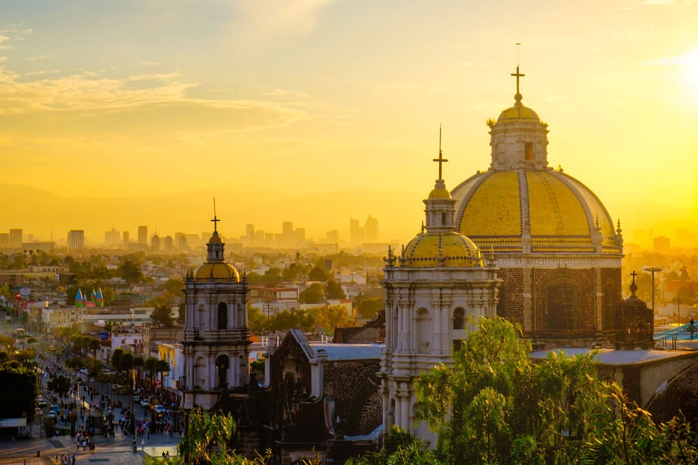
Spanish maps from the 1500s and later Mexican government charts showed a small island called Bermeja in the Gulf of Mexico, north of the Yucatán Peninsula. The island mattered enough that Mexican officials cited it decades later in negotiations over maritime boundaries and oil rights.
Multiple expeditions sent to locate Bermeja in the 2000s found no island at that position, only open water. Whether it eroded away, was never real, or was misplotted from the outset remains disputed among Mexican researchers.
Dougherty Island in the Southern Ocean
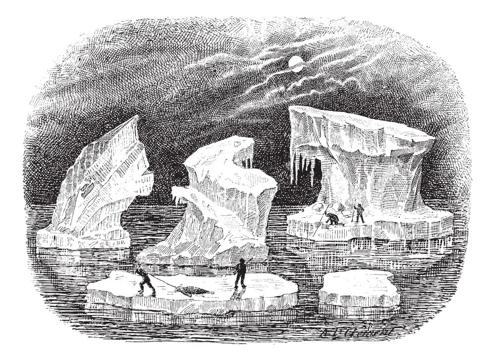
A remote island was reported by multiple whaling captains in the Southern Ocean during the 1800s and duly added to British Admiralty charts near the edge of Antarctic waters. Ships altered course for decades to avoid the charted hazard, and search expeditions were occasionally dispatched to confirm its location.
No vessel in the twentieth century ever located solid ground at the reported coordinates. The island was quietly dropped from most navigational charts by the mid-1900s.
Saxenburgh Island
A Dutch captain reported an island in the South Atlantic in 1670, and it appeared on maps for well over a century afterward near the general area of the modern South Sandwich Islands. Later expeditions, including one led by James Cook, searched the reported coordinates without success.
Cook concluded the island did not exist as charted, though some historians think early sailors may have briefly sighted an iceberg or a genuine but misplotted landmass. Saxenburgh disappeared from serious maps by the early 1800s.
Isle Phelipeaux on Lake Superior
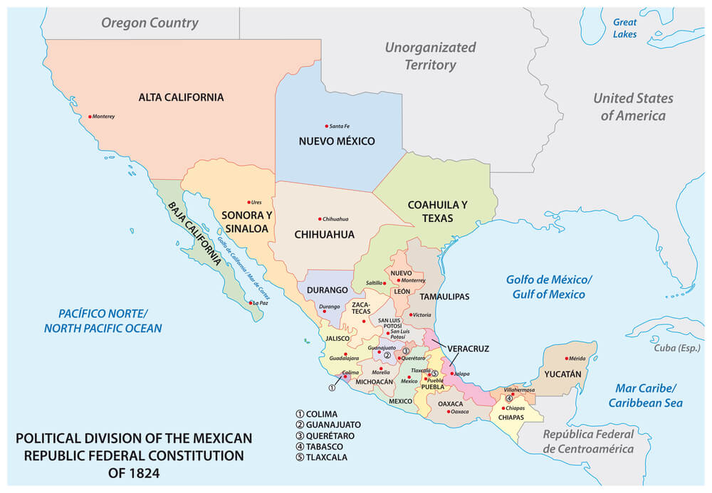
Eighteenth-century French maps placed a substantial island in the middle of Lake Superior, and the error was significant enough to nearly affect the boundary negotiations of the 1783 Treaty of Paris ending the American Revolutionary War. Negotiators drawing the new US-Canada border referenced maps that included the nonexistent island when discussing the lake’s midpoint.
Surveyors sent to physically confirm the border in later decades found no island anywhere near the marked location. The mistake likely traced back to a mapmaker duplicating a nearby real island by accident.
Crocker Land in the Arctic
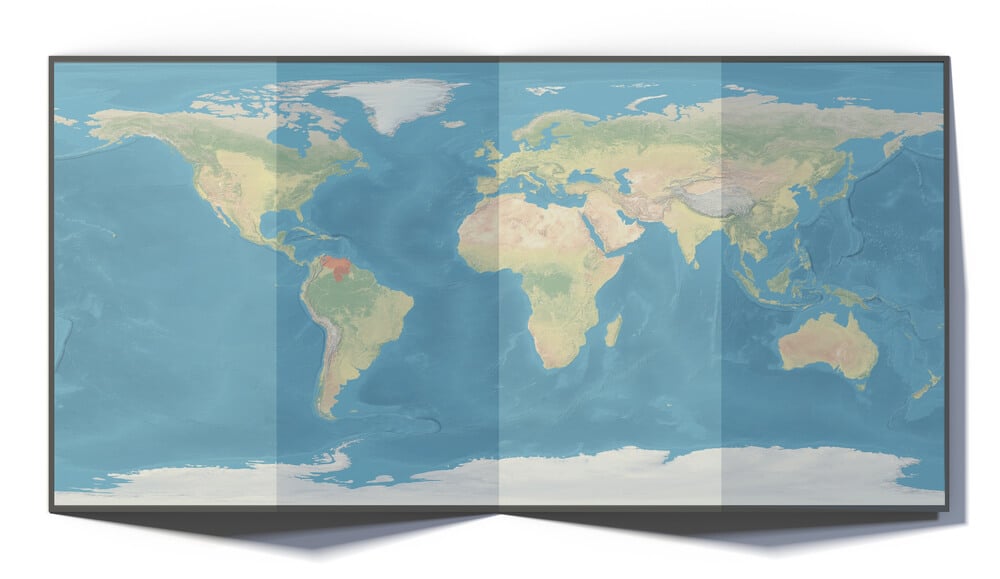
American explorer Robert Peary claimed to see a distant landmass from a mountaintop in the Canadian Arctic in 1906 and named it Crocker Land after one of his financial backers. A dedicated expedition set out in 1913 specifically to reach and document this new territory, enduring years of hardship in the process.
The team traveled hundreds of miles across sea ice toward the reported location and found nothing but open water and ice. Most historians now believe Peary had spotted a mirage or fabricated the sighting to please his patron.
Mayda Island
A phantom island appeared southwest of Nova Scotia on maps dating back to the 1400s, sometimes labeled Mayda or Maidas, and it persisted through numerous editions of Atlantic charts. Fishing captains occasionally reported sightings that renewed interest in locating it precisely.
Naval surveys conducted over the following centuries never found solid ground at any of the reported positions. Mayda is now considered one of the longest-lived phantom islands in Atlantic cartographic history, surviving on some charts into the 1800s.
The Zeno Map’s Invented Archipelago
A 1558 map published by the Zeno brothers in Venice claimed to document a fourteenth-century voyage across the North Atlantic and introduced a cluster of islands, including Frisland and Icaria, that had no basis in reality. The map was treated as credible by prominent geographers for well over a hundred years and influenced the work of figures including Gerardus Mercator.
Explorers planning Arctic and North Atlantic routes consulted the Zeno map alongside genuine survey data. Modern scholars widely regard the underlying voyage account as a fabrication designed to bolster Venetian claims to Arctic discovery.
The Northwest Passage Drawn Decades Too Early
Mapmakers confidently sketched a clear sea route connecting the Atlantic to the Pacific through the Canadian Arctic long before anyone had actually sailed it, based on assumptions that such a passage must logically exist. Expeditions across three centuries, including the disastrous 1845 Franklin expedition, relied on charts that oversimplified or entirely invented the ice conditions and coastlines involved.
Franklin’s two ships became icebound and the entire crew of over 120 men perished. A navigable passage was not successfully completed by ship until Roald Amundsen’s expedition of 1903 to 1906.
Thule at the Edge of the Known World
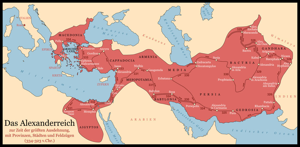
Ancient Greek geographers described a distant northern land called Thule, six days’ sail beyond Britain, based on a voyage attributed to the explorer Pytheas around 325 BCE. Mapmakers for centuries afterward placed Thule at wildly different locations, variously identifying it with Iceland, Norway, or the Shetland Islands, with no consensus.
The vague placement led later Renaissance explorers to treat the far north as more mysterious and more easily reached than it actually was. The confusion persisted well into the age of print cartography.
The Isle of Demons
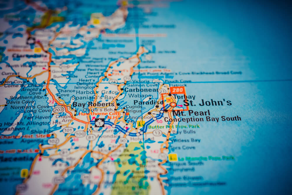
Sixteenth-century French maps marked an island near Newfoundland as the Isle of Demons, warning sailors of evil spirits said to haunt its shores. The legend grew partly from a real and grim episode in 1542, when a noblewoman named Marguerite de La Rocque was reportedly marooned there by her own relative.
Sailors genuinely altered their routes to avoid the marked location for decades afterward. The island’s supernatural reputation outlived any accurate geographic understanding of the coastline it was based on.
Los Jardines, the Phantom Islands of the Pacific

Spanish explorers crossing the Pacific in the 1500s reported a chain of islands they called Los Jardines, and the group was charted in several locations across multiple expeditions without any two reports agreeing on a position. Later Spanish galleons attempting the same crossing altered their routes to search for the reported islands, wasting valuable time and supplies.
No consistent landmass matching the description was ever confirmed. Historians now suspect the sightings involved several different, already-known islands being mistaken for something new each time.
The Vinland Map’s Disputed Coastline
A map surfacing in the mid-1900s claimed to show a pre-Columbian European knowledge of the North American coastline, dated to around 1440 and depicting a landmass labeled Vinland. Its announcement in 1965 briefly reshaped assumptions about how much of the Atlantic world Norse explorers and their contemporaries had genuinely mapped.
Chemical analysis of the ink conducted decades later revealed a titanium compound not manufactured until the 1920s. The map is now widely regarded by researchers as a modern forgery rather than a genuine medieval document.
When the Map Became the Territory
Every one of these errors survived not because sailors were careless, but because a map carries an authority that outlasts the evidence behind it. Once an island or a mountain range appeared in print, it was copied from atlas to atlas, cited in treaties, and chased across oceans by people who had every reason to trust the page in front of them.
Correcting a bad map required someone to sail to the exact coordinates and come back with nothing, which is a far harder task than drawing a coastline in the first place.
The pattern did not end with the age of sail. Sandy Island lingered in digital databases until 2012, proof that inherited error can survive centuries of technological progress if no one thinks to double-check the source.
Geography, it turns out, is only as reliable as the last person who bothered to look.
More from Go2Tutors!

- The Romanov Crown Jewels and Their Tragic Fate
- 13 Historical Mysteries That Science Still Can’t Solve
- Famous Hoaxes That Fooled the World for Years
- 15 Child Stars with Tragic Adult Lives
- 16 Famous Jewelry Pieces in History
Like Go2Tutors’s content? Follow us on MSN.