25 National Borders That Changed Dramatically in the Last Century
Maps lie, in the gentlest possible way. They show you neat lines — confident, inked, permanent-looking — and let you believe those lines have always been there.
But borders are not geography. They’re arguments, and arguments change. The last hundred years have been especially argumentative: two world wars, a collapsed Soviet empire, ethnic conflicts, referendums, occupations, and partitions that split families down the middle of streets. Some of these border changes reshaped entire continents. Others are so recent that the ink is barely dry. All of them remind you that the map you’re looking at right now is just the current version — not the final one.
Germany
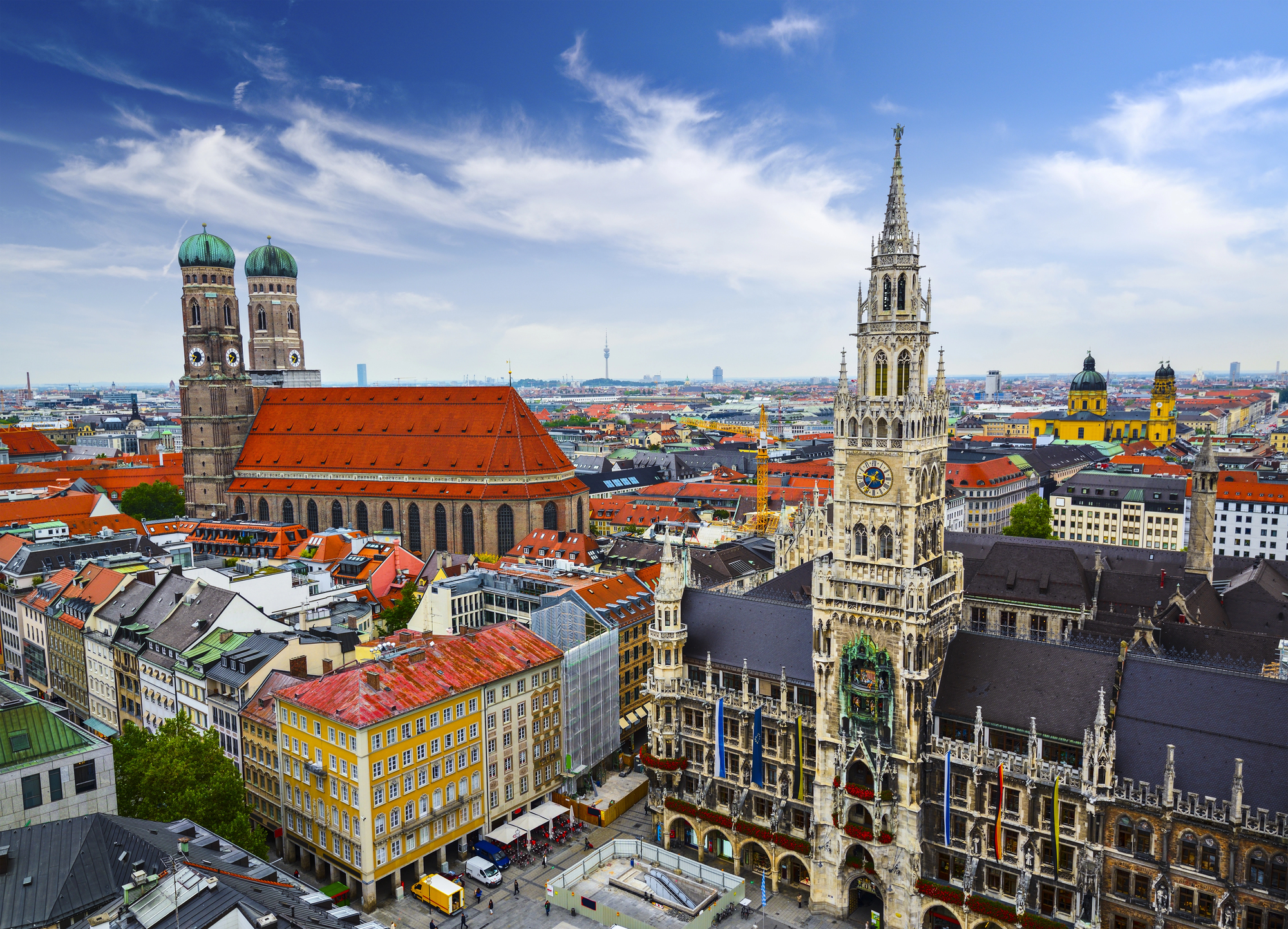
Germany in 1914 looked nothing like Germany today. It lost territory to France, Denmark, Poland, and Lithuania after World War I, then expanded violently under the Nazi regime, then shrank again after defeat in 1945 — split into East and West along a border that cut through cities, families, and living rooms until reunification in 1990.
The eastern territories Germany surrendered after World War II, including Silesia and East Prussia, are now permanently Polish and Russian soil. The country went from empire to rump state to divided nation to unified republic within a single century, which is an extraordinary amount of identity to absorb.
Poland
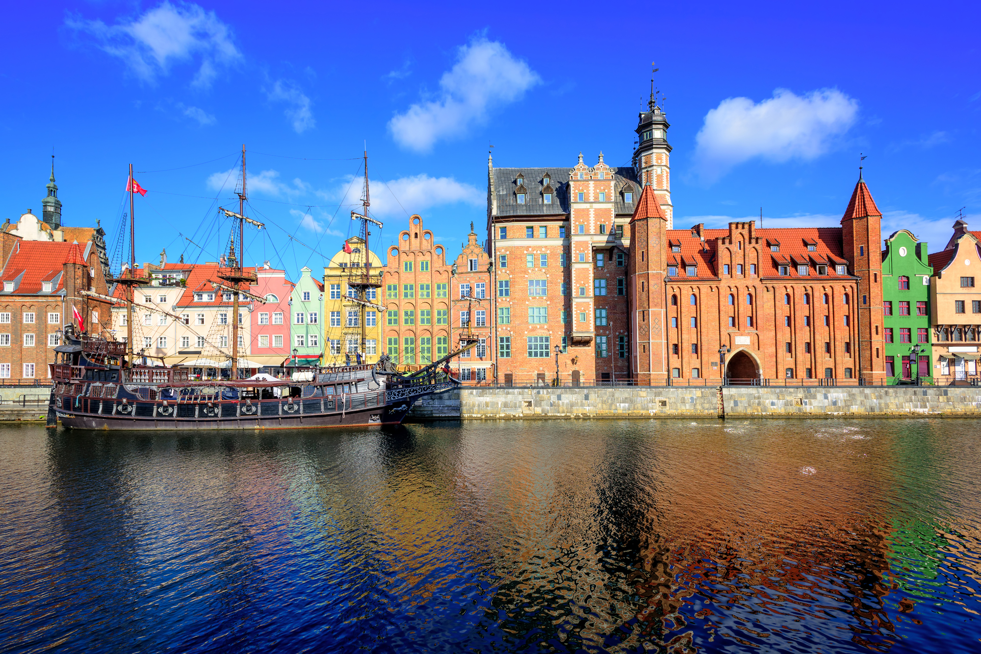
Poland’s borders have moved like a slow tide, washing east and then west and then east again. After World War I it was reconstituted from nothing after over a century of not existing on any map, and after World War II — a conflict that killed roughly one in five of its citizens — its entire territorial body was physically shifted westward, as if someone had picked up the country and slid it several hundred miles toward Germany.
The eastern lands Poland lost to the Soviet Union are now parts of Ukraine, Belarus, and Lithuania; the western lands it gained came at the cost of millions of displaced Germans. So the Poland on today’s map shares almost no borders with the Poland of 1914.
Austria-Hungary
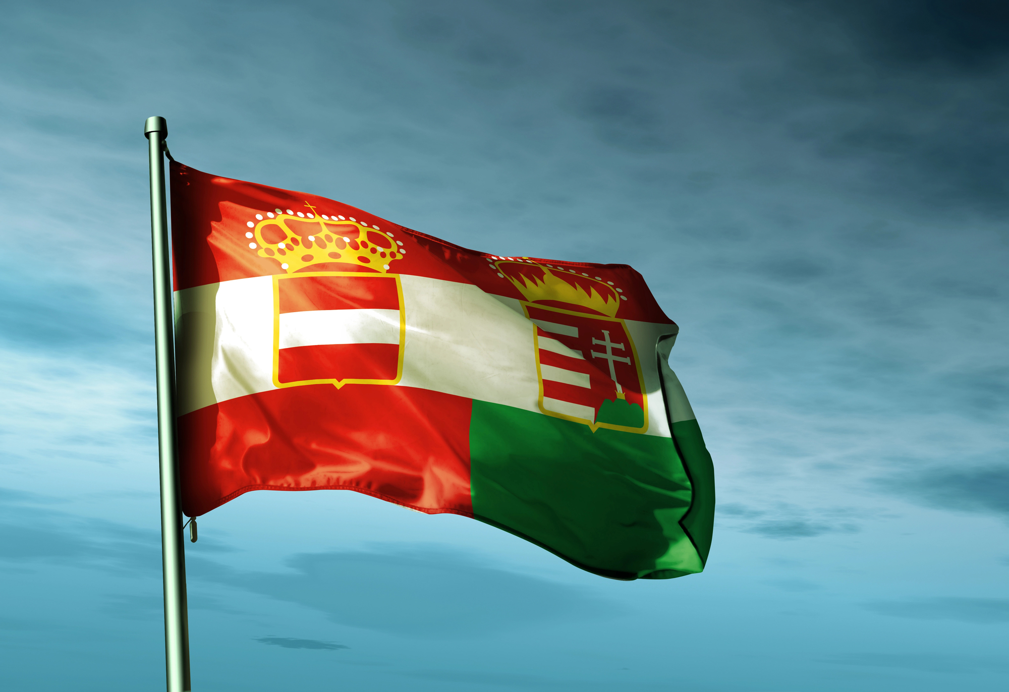
Austria-Hungary was an empire, which meant it was always on borrowed time. The collapse after World War I didn’t just redraw borders — it erased an entire political entity from the map and replaced it with a cluster of smaller states: Austria, Hungary, Czechoslovakia, Yugoslavia, and chunks handed to Romania, Italy, and Poland.
What had been a single customs union of roughly 51 million people under one crown became a fractious neighborhood of separate nations almost overnight. The ghost of the empire still haunts Central European politics, which is saying something for a country that ceased to exist in 1918.
The Ottoman Empire
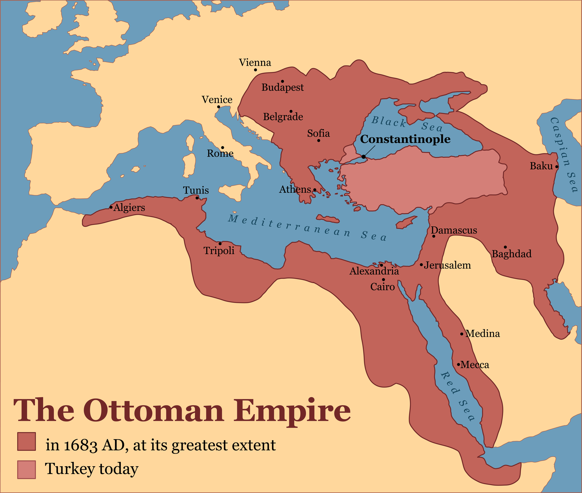
Empires don’t go quietly, and the Ottoman Empire’s dissolution was among the loudest. After World War I, its Arab territories were parceled out to Britain and France under League of Nations mandates — creating the modern outlines of Iraq, Syria, Lebanon, Jordan, and Palestine through a process that owed more to European strategic interests than to anything resembling local consent.
Turkey itself was carved back to Anatolia plus a sliver of Europe after the war, then reshaped again through the brutal population exchanges of the early 1920s. The map that resulted from all of this is the map that the Middle East has been arguing about ever since.
Yugoslavia
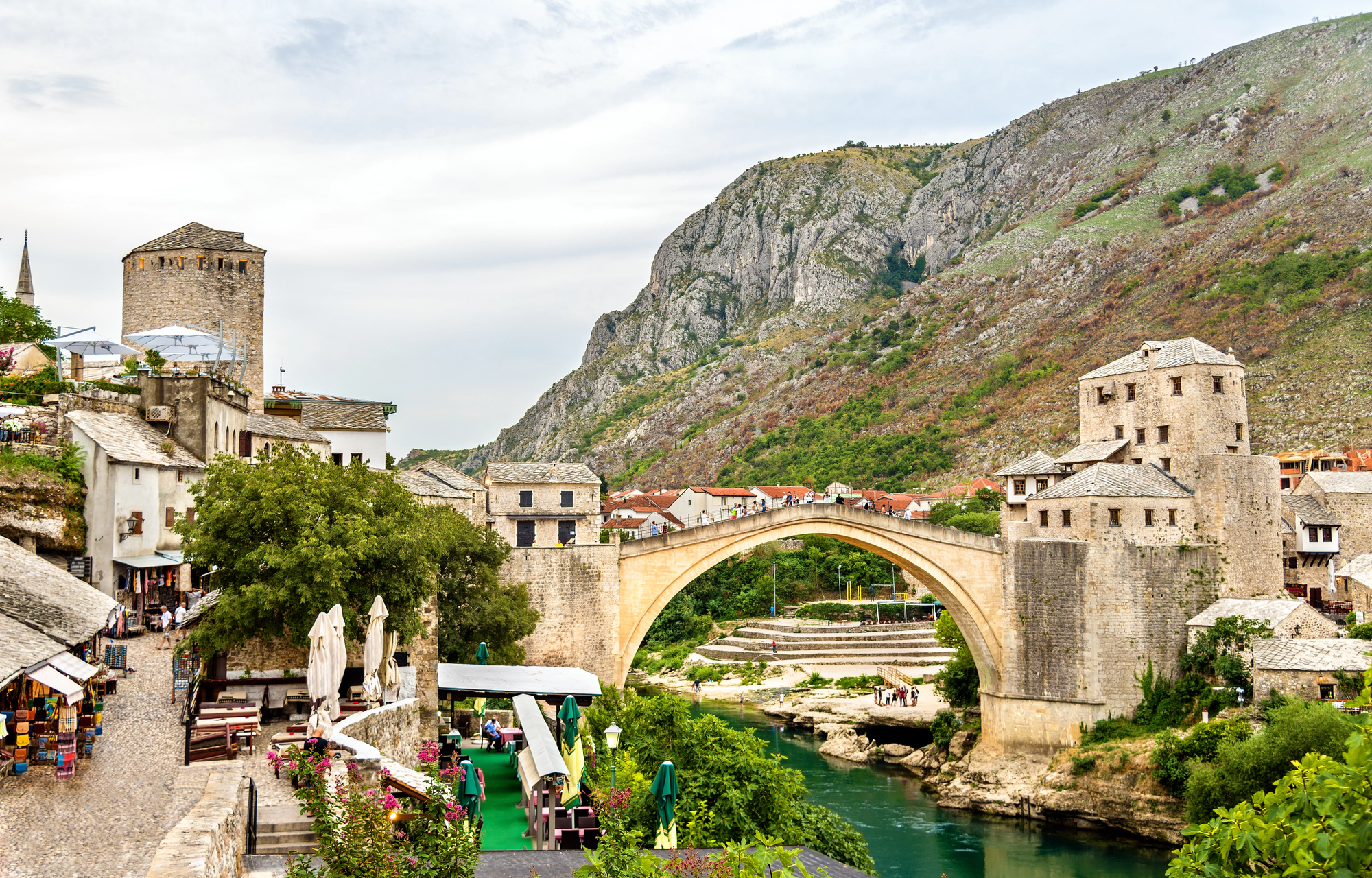
Yugoslavia was assembled, then it was dismembered, and the dismembering was far worse than the assembly. Created after World War I to unite South Slavic peoples, it held together under communism and Tito’s particular brand of authoritarian national management, then fractured violently after 1991 into Slovenia, Croatia, Bosnia and Herzegovina, Serbia, Montenegro, North Macedonia, and eventually Kosovo.
The borders that emerged from the 1990s conflicts were drawn through neighborhoods and valley towns in ways that left grievances baked directly into the geography. To be fair, there was probably no clean way to divide it — but the way it actually happened was as rough as it gets.
Czechoslovakia
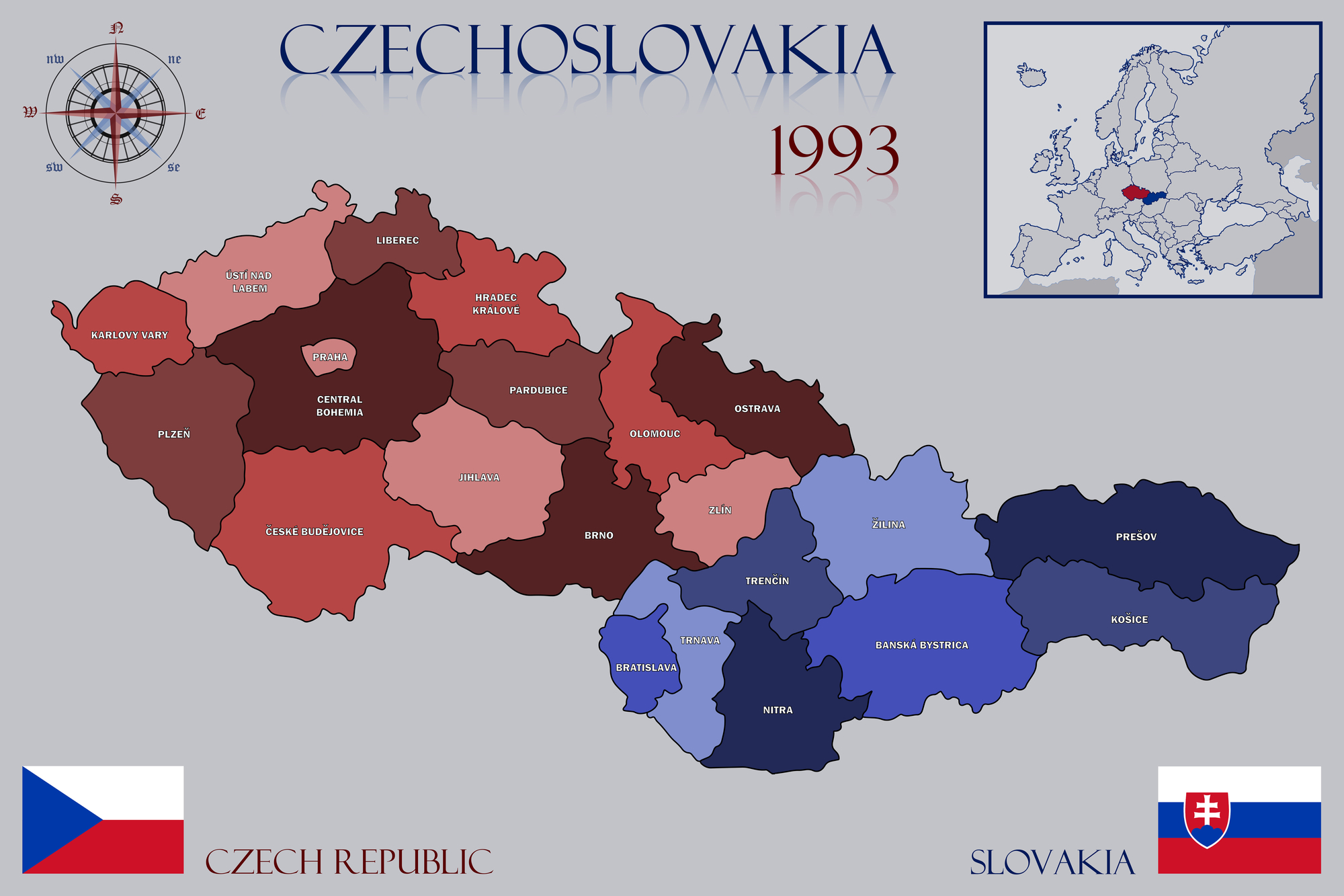
Czechoslovakia split peacefully, which made it unusual enough that the world gave the dissolution a name: the Velvet Divorce. On January 1, 1993, the country that had existed since 1918 — interrupted by Nazi occupation and Soviet-backed communism, but still a single political entity — became two: the Czech Republic and Slovakia.
No referendum was held; the decision was made by political elites. Most citizens, polls suggested at the time, would have voted to stay together, which is a remarkable footnote to a remarkably civilized separation.
The Soviet Union
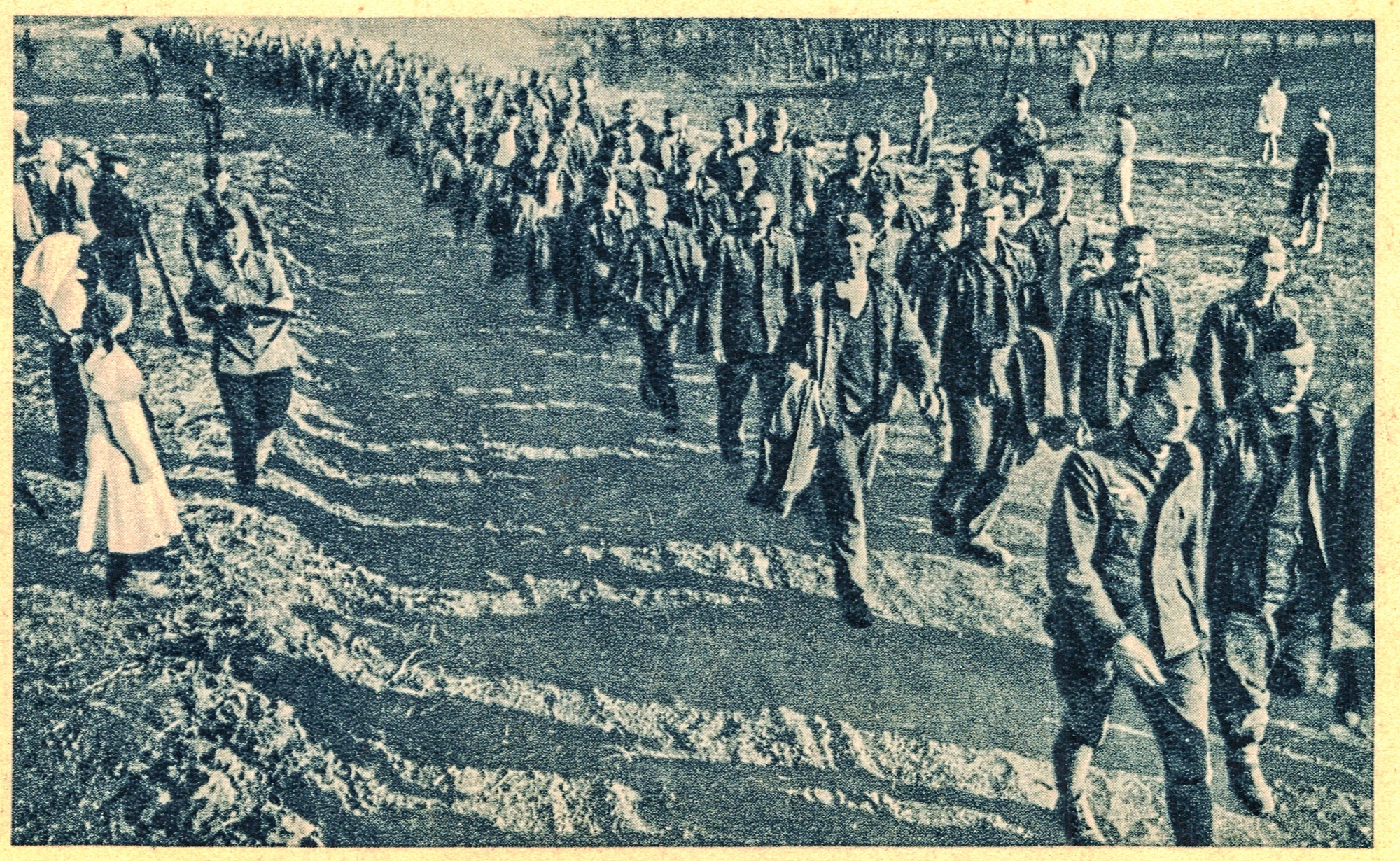
The Soviet Union’s collapse in 1991 was the single largest peaceful border redrawing in modern history. Fifteen independent countries emerged from what had been one state, restoring nations like Estonia, Latvia, and Lithuania that had been forcibly absorbed in 1940, and creating entirely new sovereign entities like Kazakhstan, Uzbekistan, and Azerbaijan — places that had existed as administrative units within the USSR but had never been independent states in their modern forms.
The borders drawn by Soviet administrators, often with deliberate ethnic complexity to prevent regional unity, became international borders overnight. Some of those inherited border problems are still generating armed conflicts today.
Ukraine
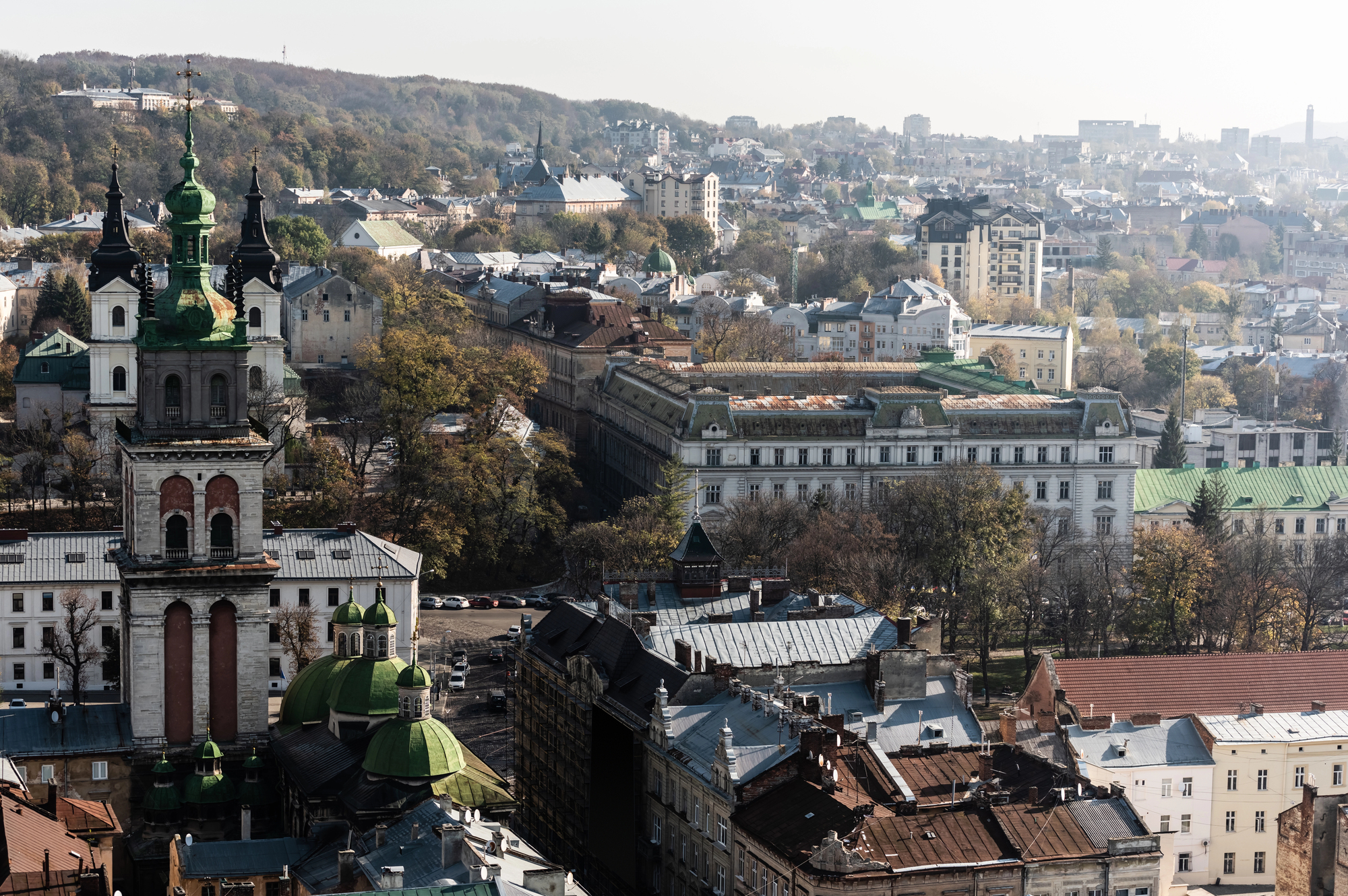
Ukraine’s borders have been contested for most of its existence as an independent state, and the contestation turned openly violent in 2014 when Russia annexed Crimea and backed separatists in the Donbas region. By 2022, Russia had launched a full-scale invasion, temporarily occupying large portions of the country’s south and east — borders that remained actively disputed and militarily contested at the time of writing.
Ukraine’s situation is a live demonstration of something maps tend to obscure: the difference between a border that is recognized internationally and a border that is actually enforced on the ground. Those two things are not always the same thing.
Finland
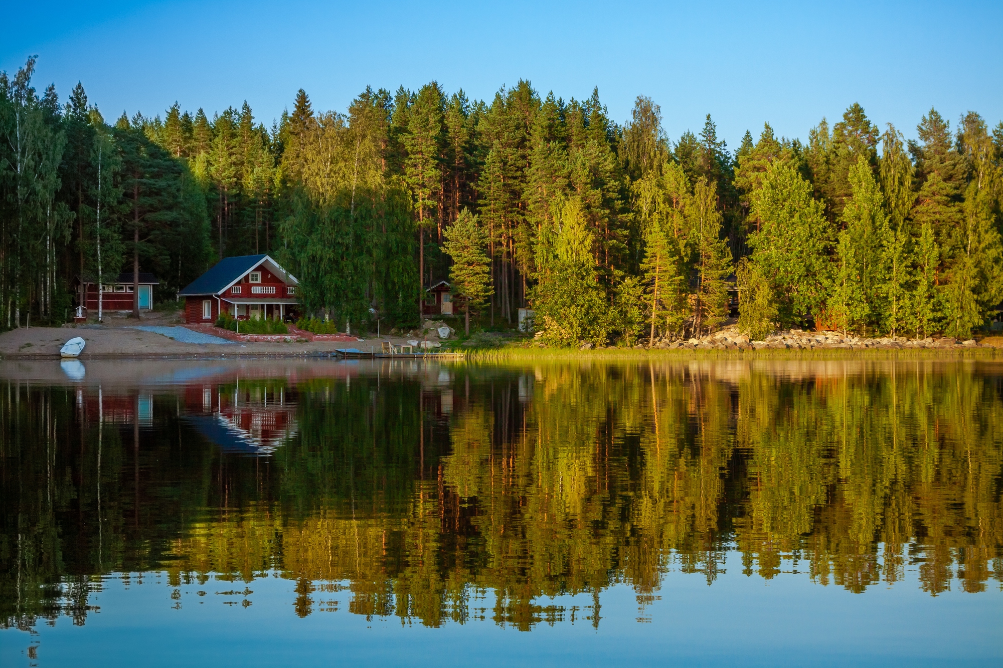
Finland got its independence from Russia in 1917, then promptly had its eastern border tested in the Winter War of 1939–1940, during which the Soviet Union demanded territorial concessions and, when Finland refused, invaded. Finland fought with extraordinary effectiveness for a small nation — inflicting casualties that embarrassed the Red Army — but ultimately ceded about 11% of its territory, including the Karelian Isthmus and the city of Vyborg.
The lost Karelia remains a quiet national wound in Finland, and the memory of the Winter War is a large part of why Finland spent decades carefully neutral before joining NATO in 2023.
India and Pakistan
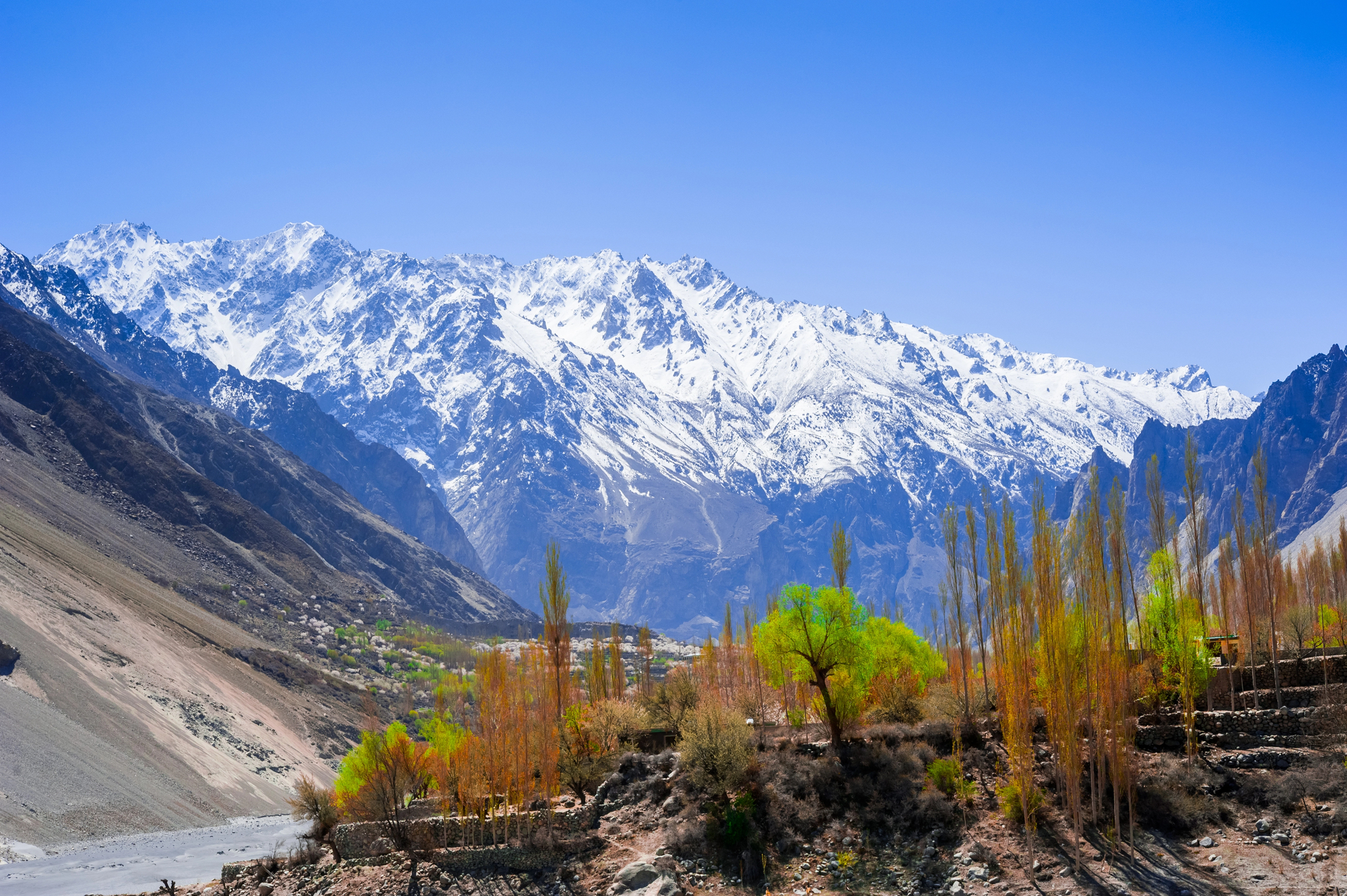
The 1947 Partition of British India drew a border through the subcontinent in roughly five weeks, a timeline that’s as staggering as the consequences. The Radcliffe Line — named for Cyril Radcliffe, a British lawyer who had never visited India before being handed the task — divided Punjab and Bengal along lines that separated communities, irrigation systems, railway networks, and families with a speed that made violence almost inevitable.
Somewhere between 200,000 and 2 million people died in the communal violence that followed; roughly 10 to 20 million more were displaced. The resulting border between India and Pakistan remains one of the most heavily militarized on earth, and the status of Kashmir has never been fully resolved.
Israel and Palestine
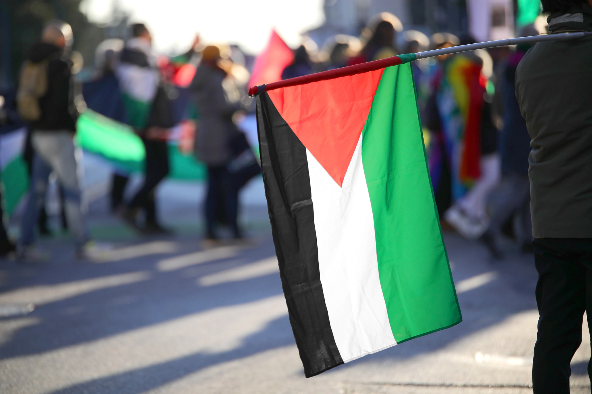
The modern borders of Israel and Palestine are a product of 1948’s war, the 1967 Six-Day War, subsequent peace agreements, and ongoing occupation — a layering of events that makes any single border difficult to describe without immediately qualifying it. What the United Nations proposed in 1947, what was established after Israel declared independence in 1948, what was occupied in 1967, and what exists on the ground today are four different maps.
The Palestinian territories of the West Bank and Gaza have their own contested administrative statuses. It is, quite possibly, the most litigated border in modern international law.
Korea
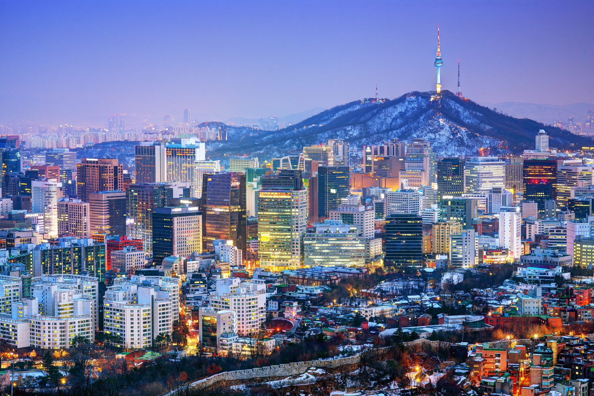
Korea was divided at the 38th parallel in 1945 as a temporary administrative arrangement — Soviet forces north of the line, American forces south — and the temporary arrangement has now lasted nearly 80 years. The Korean War of 1950–1953 shifted the line slightly but left both states in an armistice rather than a peace treaty, meaning North and South Korea are technically still at war.
The Demilitarized Zone (DMZ) between them, roughly 2.5 miles wide and 160 miles long, is one of the most heavily fortified strips of land on earth, and also, somewhat improbably, an accidental wildlife sanctuary.
China and Tibet
Tibet functioned as a de facto independent state for most of the first half of the 20th century, following the collapse of Qing dynasty control in 1913. China’s 1950 invasion and the subsequent 1959 suppression of a Tibetan uprising — which drove the Dalai Lama into exile in India, where he has remained ever since — absorbed Tibet fully into the People’s Republic.
The border changes didn’t just redraw lines; they restructured an entire civilization’s political and religious autonomy. Whether Tibet constitutes an “occupied” territory or a legitimate part of China is a question that most governments answer carefully, depending on who’s asking.
Alsace-Lorraine
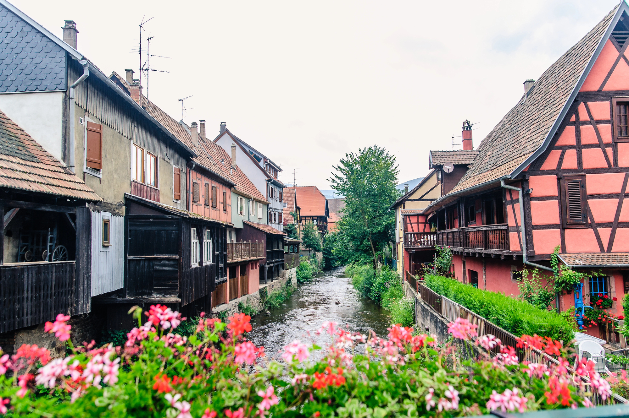
Alsace-Lorraine changed hands between France and Germany four times between 1871 and 1945 — lost by France to the new German Empire after the Franco-Prussian War, returned to France after World War I, occupied and annexed by Nazi Germany in 1940, and returned to France again after liberation in 1944–1945.
The region’s residents spent decades being required to switch languages, names, and national identities depending on who held the territory, which gives Alsatian cultural identity a particular stubbornness that you don’t find in regions with tidier histories. Today it sits comfortably in France, though the German influences on architecture and cuisine remain unmissable.
The Baltic States
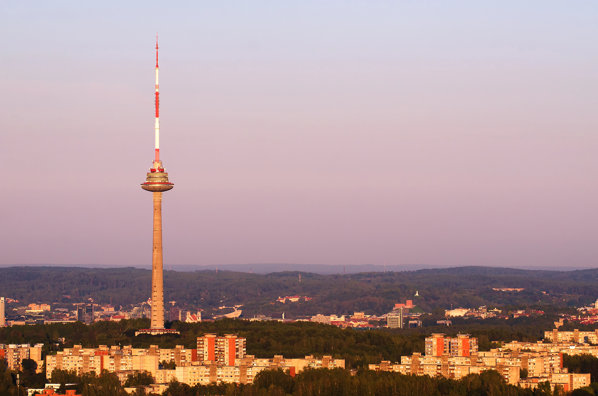
Estonia, Latvia, and Lithuania were absorbed into the Soviet Union in 1940 under the terms of the Molotov-Ribbentrop Pact — a secret protocol that most Western governments refused to formally recognize as legal for the entire duration of the Cold War. Their restoration as independent states in 1991 wasn’t purely a product of the Soviet collapse; it was also the endpoint of 50 years of stubborn, quiet legal argument that said the annexation had never been legitimate in the first place.
The United States technically never stopped recognizing their pre-1940 governments, which turned out to be a useful position to hold. All three joined NATO in 2004.
Western Sahara
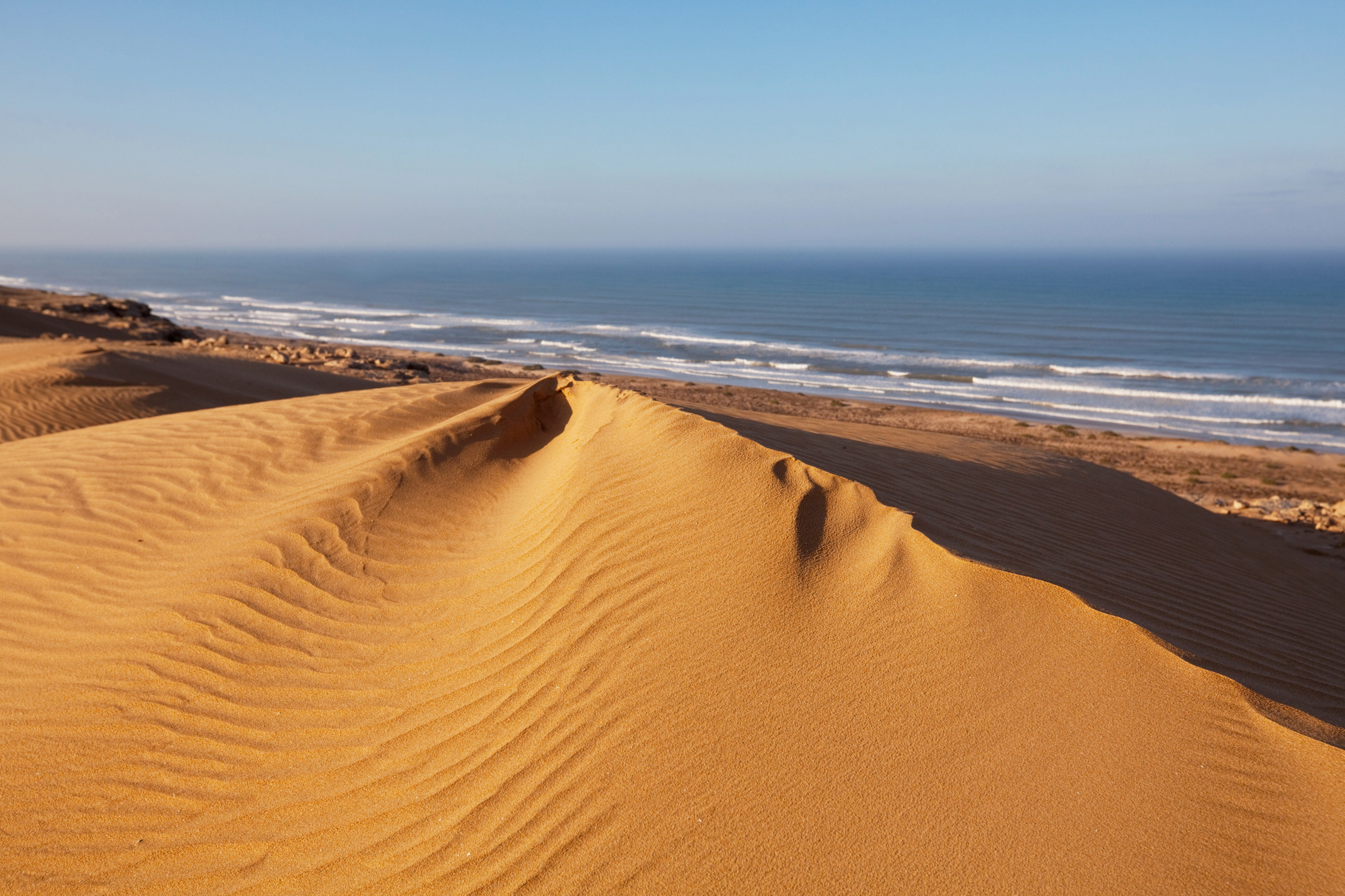
Western Sahara is — depending on your map and your politics — either a non-self-governing territory under Moroccan administration, a state in waiting, or something with no clean category at all. Spain withdrew from its former colony in 1976; Morocco and Mauritania moved in; Mauritania eventually withdrew; Morocco stayed and built a massive sand wall, roughly 1,700 miles long, separating the Moroccan-held west from the sparsely populated east.
The Sahrawi Arab Democratic Republic claims the whole territory and is recognized by dozens of countries, but it controls very little of it. The UN has been trying to arrange a referendum on self-determination since 1991, and the referendum has not happened.
Sudan and South Sudan
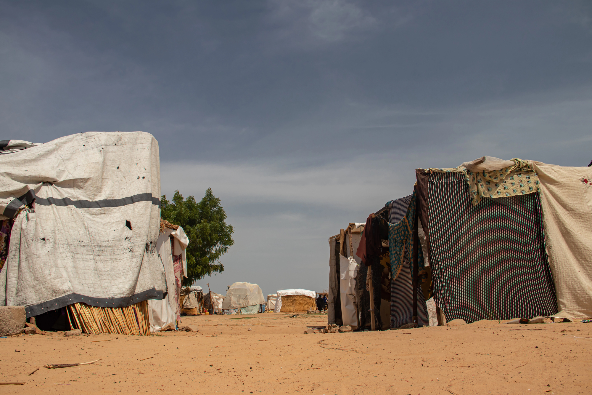
South Sudan became the world’s newest internationally recognized country in 2011, after a 2005 peace agreement ended one of Africa’s longest civil wars and a 2011 referendum in which 98.83% of southern Sudanese voted for independence. The border that resulted — roughly 1,100 miles long — runs through one of Africa’s most resource-rich and logistically challenging landscapes, passing through the oil-producing regions that both countries immediately began disputing.
South Sudan’s independence was followed almost immediately by internal conflict and renewed border tensions with Sudan. The world’s newest country has had an extraordinarily difficult beginning.
Ethiopia and Eritrea
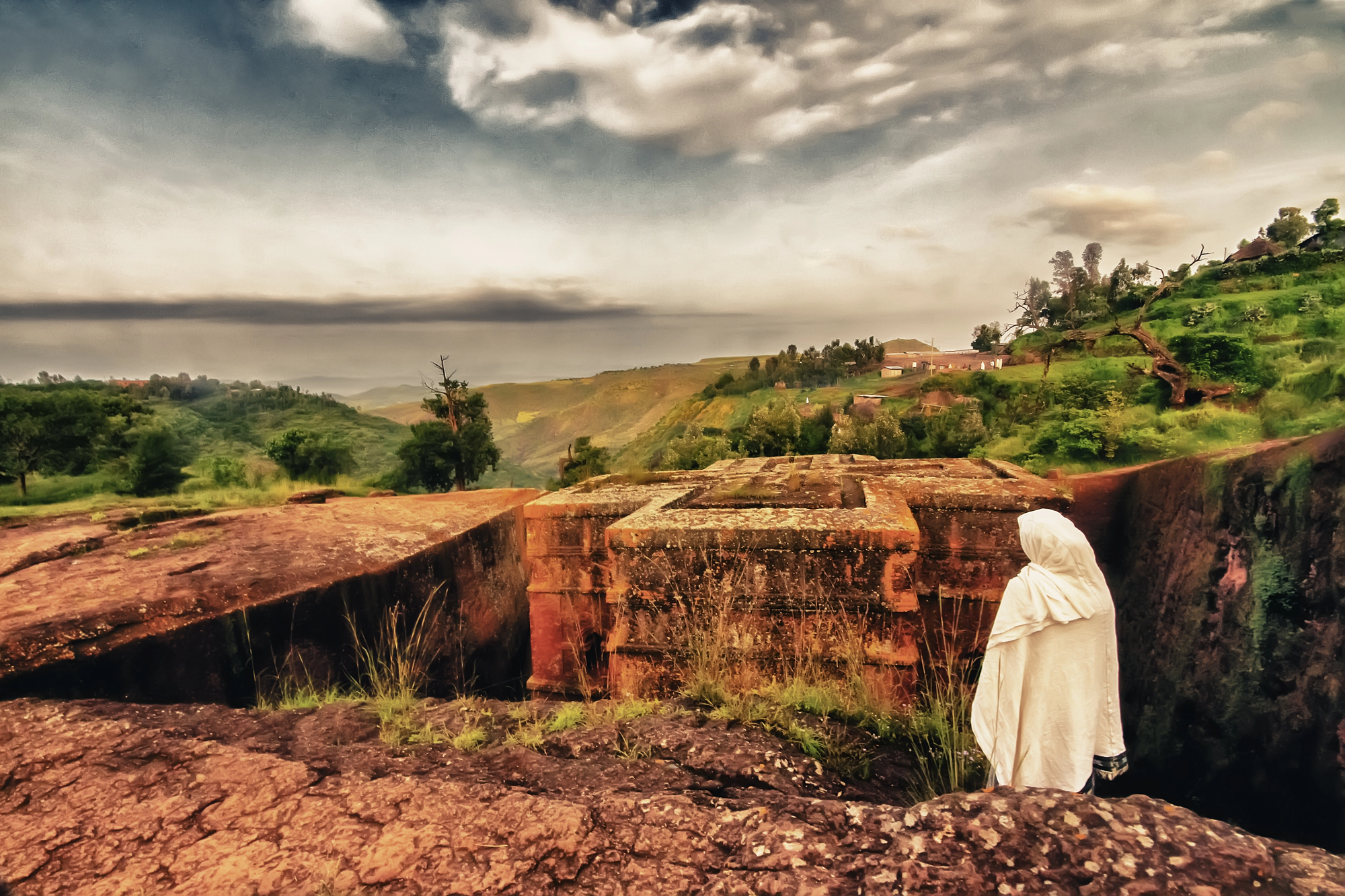
Eritrea achieved independence from Ethiopia in 1993 after a 30-year independence war — one of the longest in African history — creating a new international border where there had previously been a provincial one. The border war that erupted between the two countries from 1998 to 2000 killed somewhere between 70,000 and 100,000 people over a dispute involving a small town called Badme that could have been resolved, in retrospect, for considerably less.
A peace deal in 2018 finally normalized relations after two decades of frozen hostility, though the underlying tensions between the two governments have not entirely dissolved.
Crimea
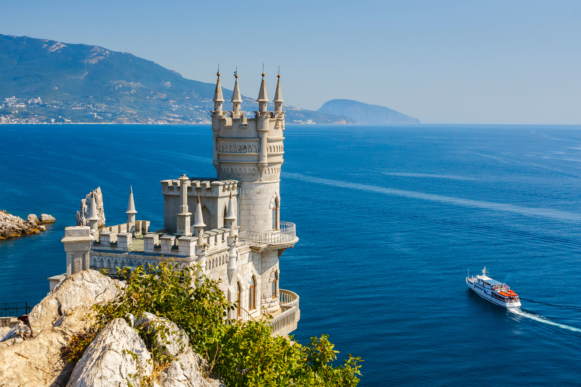
Crimea was transferred from the Russian Soviet Republic to the Ukrainian Soviet Republic in 1954, an administrative move that carried no political weight at the time because both were Soviet republics. When the Soviet Union collapsed in 1991, Crimea suddenly found itself part of independent Ukraine — a status it held uneasily for over two decades.
Russia’s 2014 annexation reversed the arrangement and drew near-universal international condemnation; Russia simply held a rushed referendum and declared the result a mandate. The peninsula remains internationally recognized as Ukrainian territory while being physically controlled by Russia, which is the kind of contradiction that maps handle badly.
Germany’s Eastern Territories
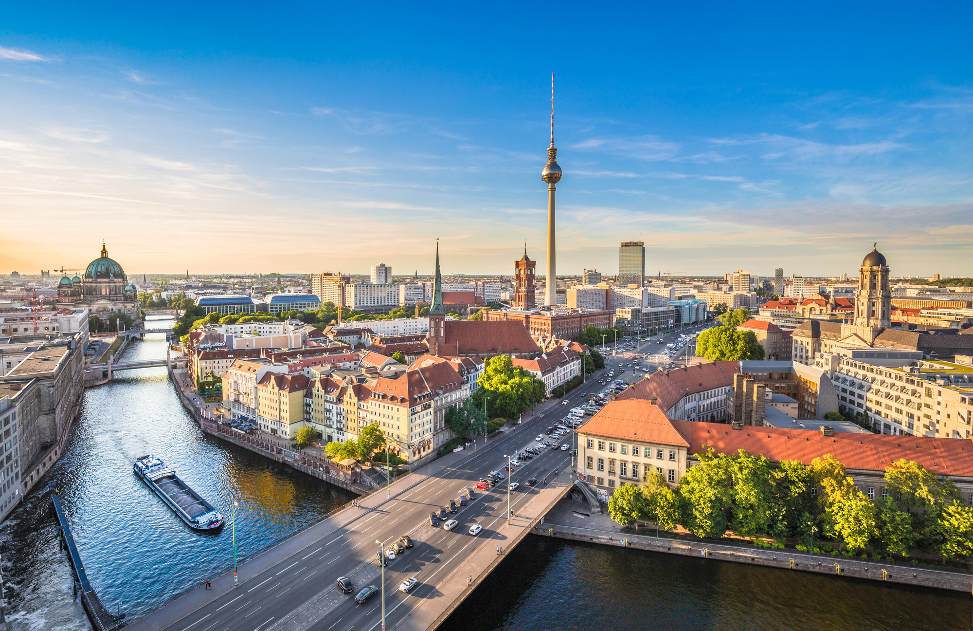
The territories Germany surrendered permanently after World War II — Silesia, Pomerania, and southern East Prussia — were home to millions of ethnic Germans who were expelled westward in what became one of the largest forced population transfers in history. Somewhere between 12 and 14 million Germans were displaced from lands their families had inhabited for centuries, with violence that the postwar settlements quietly absorbed into the architecture of the new European order.
These territories are now recognized Polish (and in the case of Königsberg, now Kaliningrad, Russian) soil, a settlement West Germany formally accepted in 1970 and unified Germany reconfirmed in 1990. The expellees and their descendants kept organizations alive for decades asserting a right of return that no European government has ever seriously entertained.
Ireland
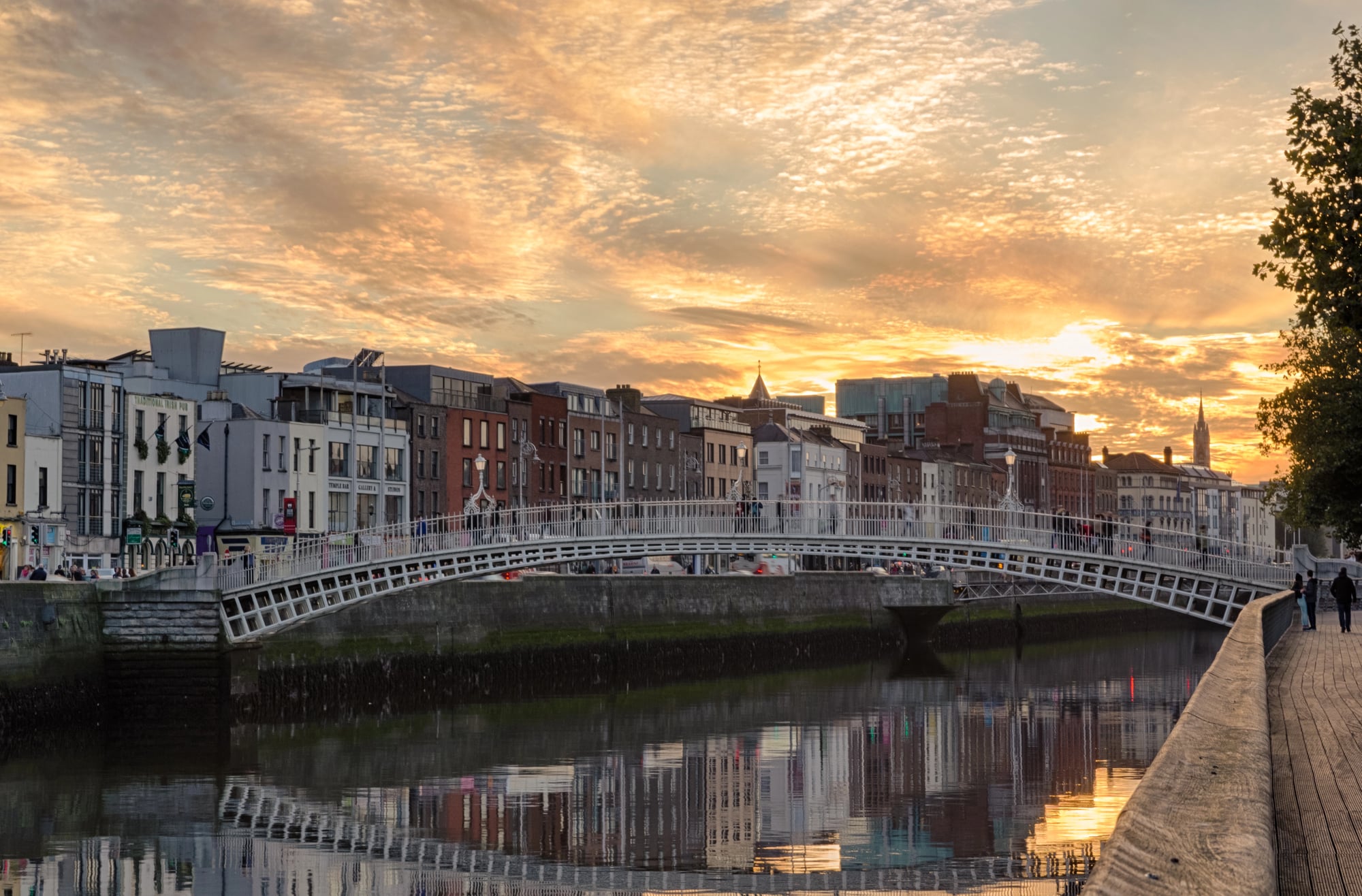
The partition of Ireland in 1921 created two entities: the Irish Free State (later the Republic of Ireland) and Northern Ireland, which remained part of the United Kingdom. The border between them was drawn through fields, farms, and in some cases through the middle of roads, and it became a flashpoint for decades of violence — the Troubles claiming roughly 3,500 lives between 1968 and 1998.
The Good Friday Agreement of 1998 effectively softened the border to near-invisibility, with free movement across it. Brexit then raised the prospect of a hard border’s return, a question that consumed British and Irish politics for several years and remains constitutionally unresolved.
The Saar
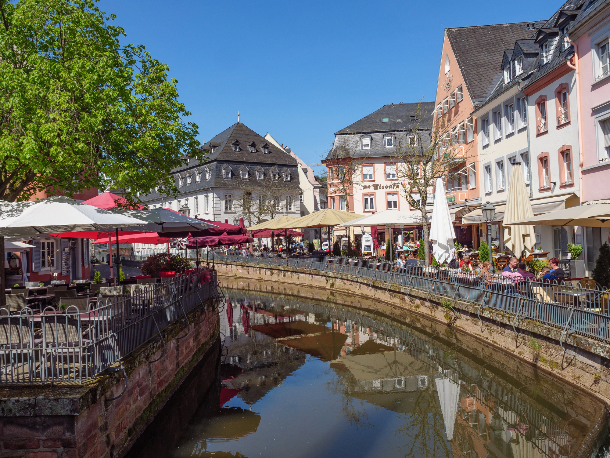
The Saar — a small, coal-rich territory on the French-German border — spent the first half of the 20th century being passed back and forth as a kind of geopolitical bargaining chip. Administered by the League of Nations after World War I, returned to Germany after a 1935 plebiscite, attached to France economically after World War II, and finally returned to West Germany in 1957 after another referendum.
It’s a territory that took longer to settle than most people spent studying for their history exams. The whole saga is a compressed version of what industrially valuable borderlands go through when larger powers want them.
Bangladesh
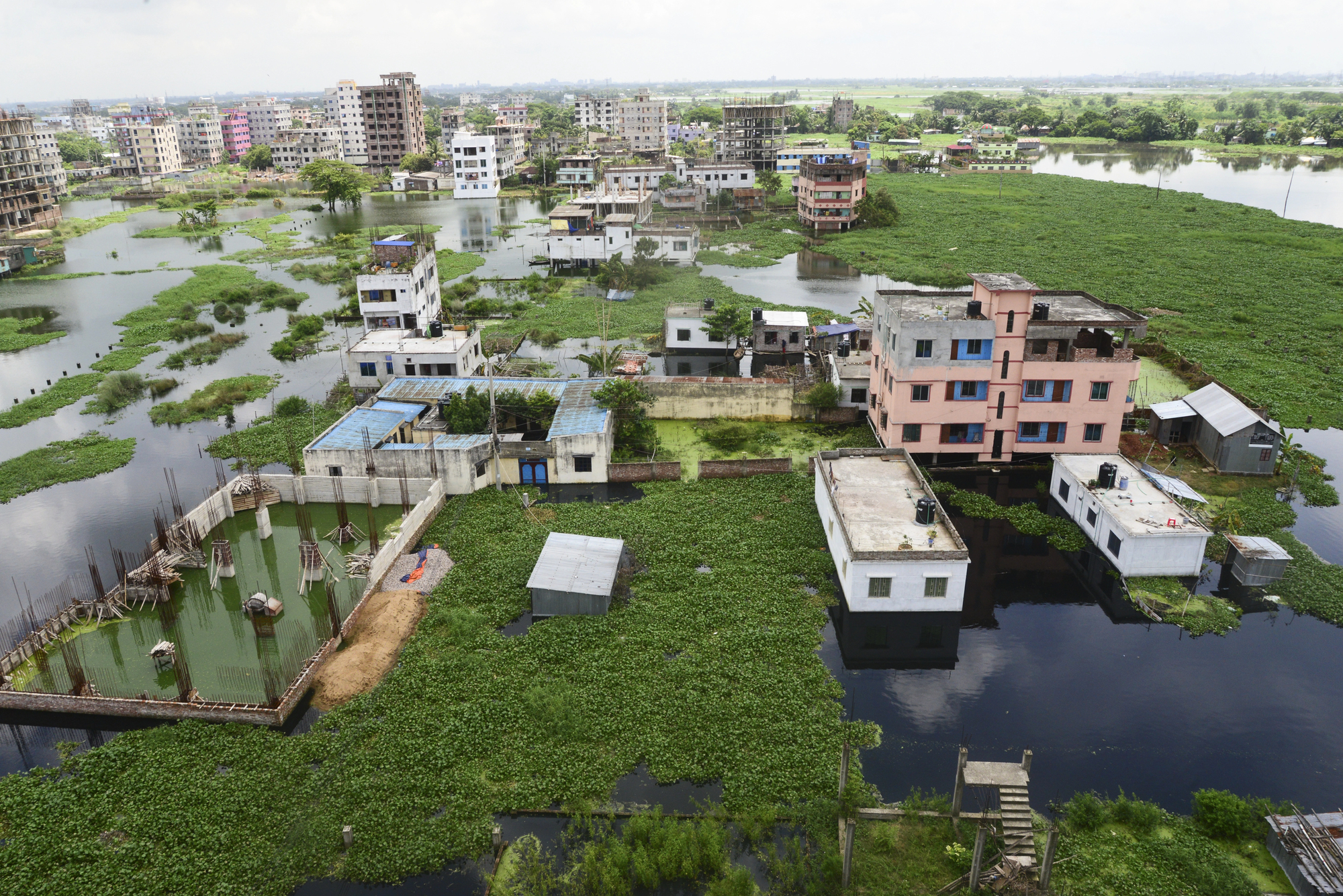
Bangladesh exists because a border that was drawn in 1947 turned out to be unworkable. East Pakistan — geographically separated from West Pakistan by roughly 1,000 miles of Indian territory, and different in language, culture, and political grievance — declared independence in 1971 after a political crisis and a brutal military crackdown.
The nine-month liberation war, in which Indian forces intervened decisively, killed somewhere between 300,000 and 3 million people depending on whose estimates you accept. The border of the new Bangladesh followed the old East Pakistani provincial lines, giving the world a country whose creation was one of the most violent in modern history.
Kosovo
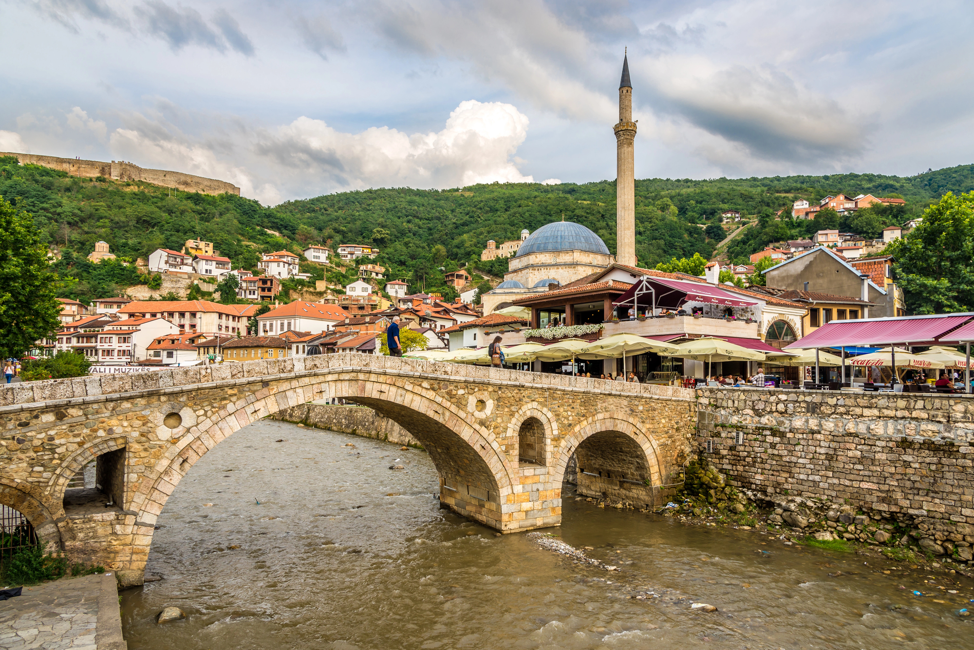
Kosovo declared independence from Serbia in 2008, and the world has been unable to agree on what to do about it since. Recognized by over 100 countries, including the United States and most of the European Union, but not by Serbia, Russia, China, or several dozen other states, Kosovo occupies a strange sovereign limbo — functional enough to have a government, a capital in Pristina, and a flag, but unable to join the United Nations because of Russian and Chinese vetoes in the Security Council.
The 1998–1999 war that preceded independence killed around 13,000 people and drove nearly a million Kosovar Albanians from their homes. It remains the most disputed national border in Europe.
Vietnam
Vietnam spent almost the entirety of the mid-20th century as a divided country — first between French colonial administration and the Viet Minh, then at the 17th parallel between North and South Vietnam after the 1954 Geneva Accords. The American war (which the Vietnamese call the American War, which is only fair) ended in 1975 with the fall of Saigon and the subsequent reunification of the country under Hanoi’s government in 1976.
The Socialist Republic of Vietnam as it exists today — a single unified country stretching from the Chinese border to the Mekong Delta — is less than 50 years old. The reunification line at the 17th parallel is now just a geographic location, crossed by highway and indifferent to history.
Where Lines Land
There’s something quietly dizzying about looking at a map and knowing it’s a snapshot, not a fact. Every border on it was once a negotiation, a war, a treaty, a referendum — or sometimes just one man in a room with a pen and a deadline, drawing a line through a place he’d never visited.
The borders that changed dramatically in the last century didn’t just move on paper. They moved people, languages, loyalties, and entire futures. Some of the lines drawn a hundred years ago still haven’t stopped wounding. Others have healed so completely that crossing them feels like nothing — a road sign, a language shift, coffee getting slightly better or slightly worse. The map keeps updating. It always has.
More from Go2Tutors!

- The Romanov Crown Jewels and Their Tragic Fate
- 13 Historical Mysteries That Science Still Can’t Solve
- Famous Hoaxes That Fooled the World for Years
- 15 Child Stars with Tragic Adult Lives
- 16 Famous Jewelry Pieces in History
Like Go2Tutors’s content? Follow us on MSN.