26 Treaties That Redrew the Map in a Single Day
Most maps change gradually, through wars and negotiations spread across years. Occasionally a single treaty signed on a single day reshuffled entire regions, created new countries, and erased others from the map with the stroke of a pen.
These are the agreements that redrew continents in an afternoon.
Treaty of Tordesillas (1494)
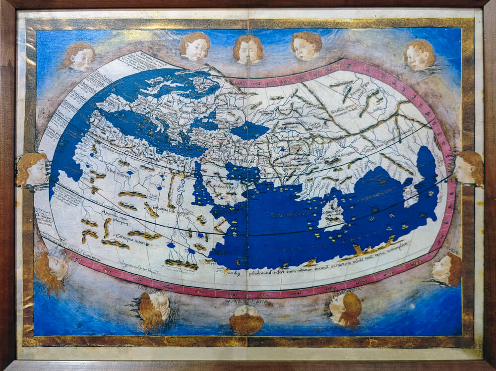
Pope Alexander VI and two European monarchs divided the entire non-European world between Spain and Portugal on June 7, 1494, using a meridian line running through the Atlantic and extending to the Pacific. The treaty gave Brazil to Portugal and everything else in the Americas to Spain, reshaping the colonial map before any of the territories were fully explored.
The line was drawn on maps that had significant errors about where land actually was.
Treaty of Paris (1763)
The signing on February 10, 1763, ended the Seven Years’ War and shifted North America from French to British control in a single afternoon, redrawing the continent’s colonial map and setting the stage for American independence. France lost Canada, and Britain’s power on the continent became absolute.
The treaty’s speed masked the complexity of implementing it across an ocean.
Treaty of San Stefano (1878)
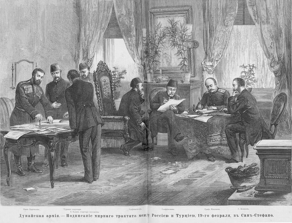
The treaty signed on March 3, 1878, created Bulgaria as an independent nation and redrew southeastern Europe, expanding Serbian and Montenegrin territory and remaking the Ottoman Empire’s European map in a single day. The treaty was so consequential that it was largely revised three months later at the Treaty of Berlin, showing how unstable these instant redrawn maps could be.
Two treaty signatures in one year reshaped the region twice.
Berlin Act (1885)
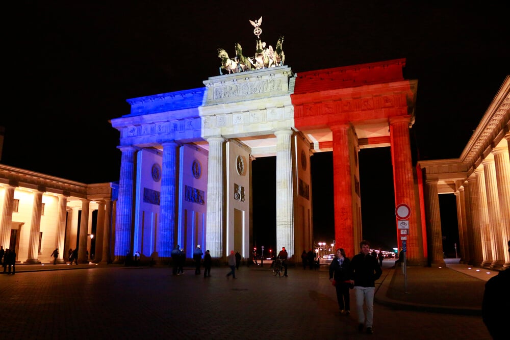
The Berlin Conference’s Final Act, signed February 26, 1885, divided the entire African continent among European powers without a single African representative present, redrawing borders that had no relationship to existing ethnic, linguistic, or political boundaries. The conference compressed centuries of colonial ambition into a single diplomatic event.
The arbitrary borders drawn that day caused conflicts that persist into the twenty-first century.
Treaty of Brest-Litovsk (1918)
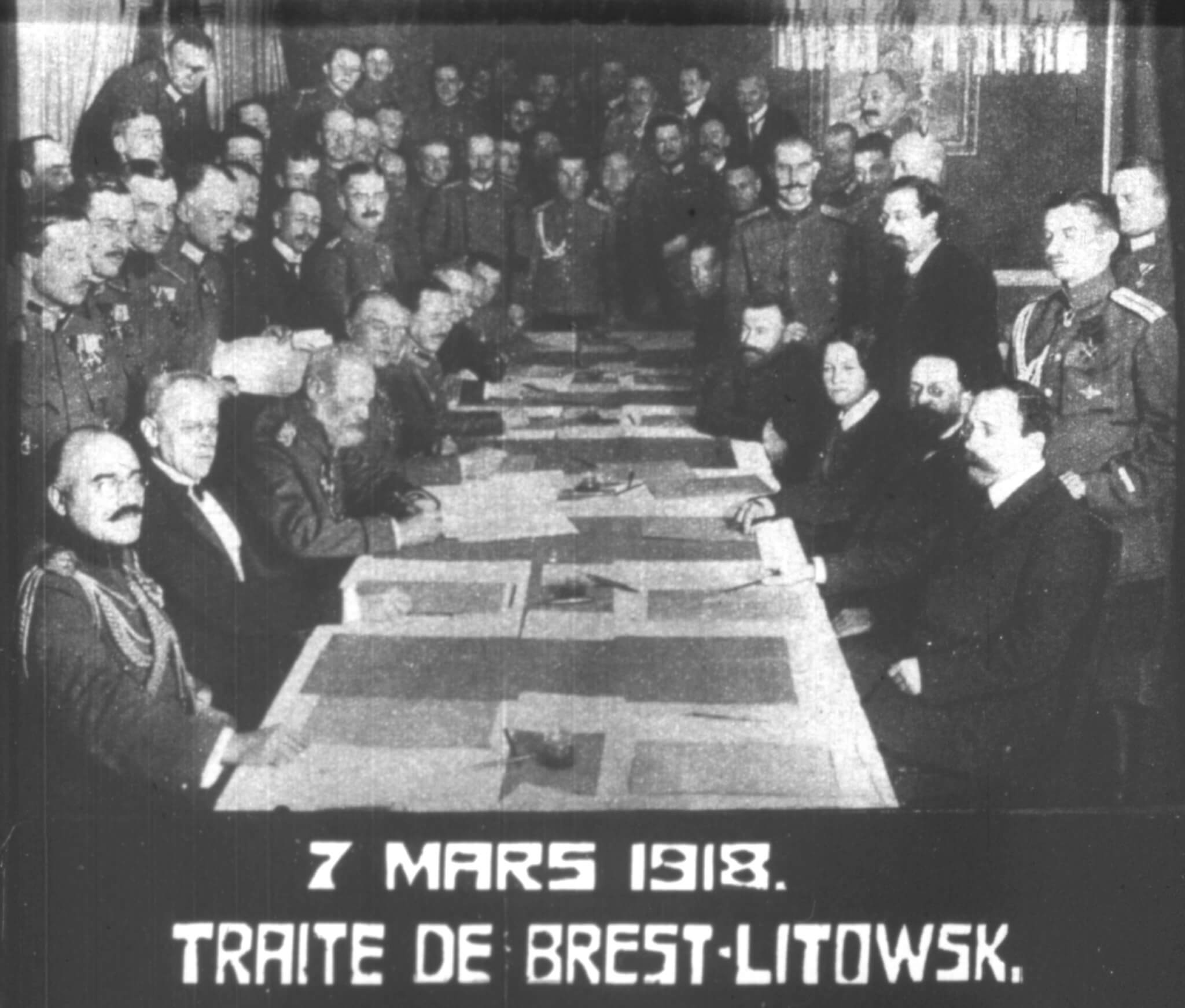
Signed on March 3, 1918, between the Russian Soviet Republic and the Central Powers, this treaty ended Russia’s involvement in World War I and redrew Eastern Europe, creating new independent states and shifting borders across Poland, Belarus, and the Caucasus in a single afternoon. The treaty was so harsh that it was eventually rejected and reversed, but for several months it remained the binding agreement that reshaped the region.
Russia’s withdrawal from the war accelerated the Central Powers’ own collapse.
Treaty of Versailles (1919)
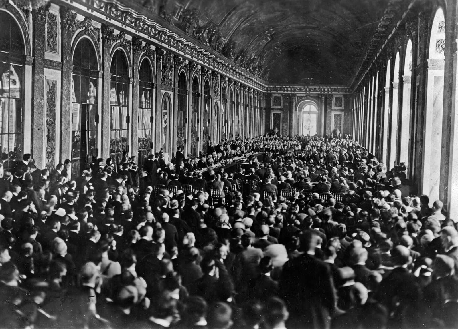
While the treaty was negotiated over months, the final document signed on June 28, 1919, instantly redrew Europe, creating new nations from pieces of the Austro-Hungarian and Ottoman empires and imposing the Rhineland demilitarization, the League of Nations mandate system, and colonial redistributions that shaped the entire twentieth century. The treaty attempted to redraw not just Europe but the whole international order.
The speed with which the agreement was implemented masked disagreements that would lead to World War II.
Treaty of Lausanne (1923)
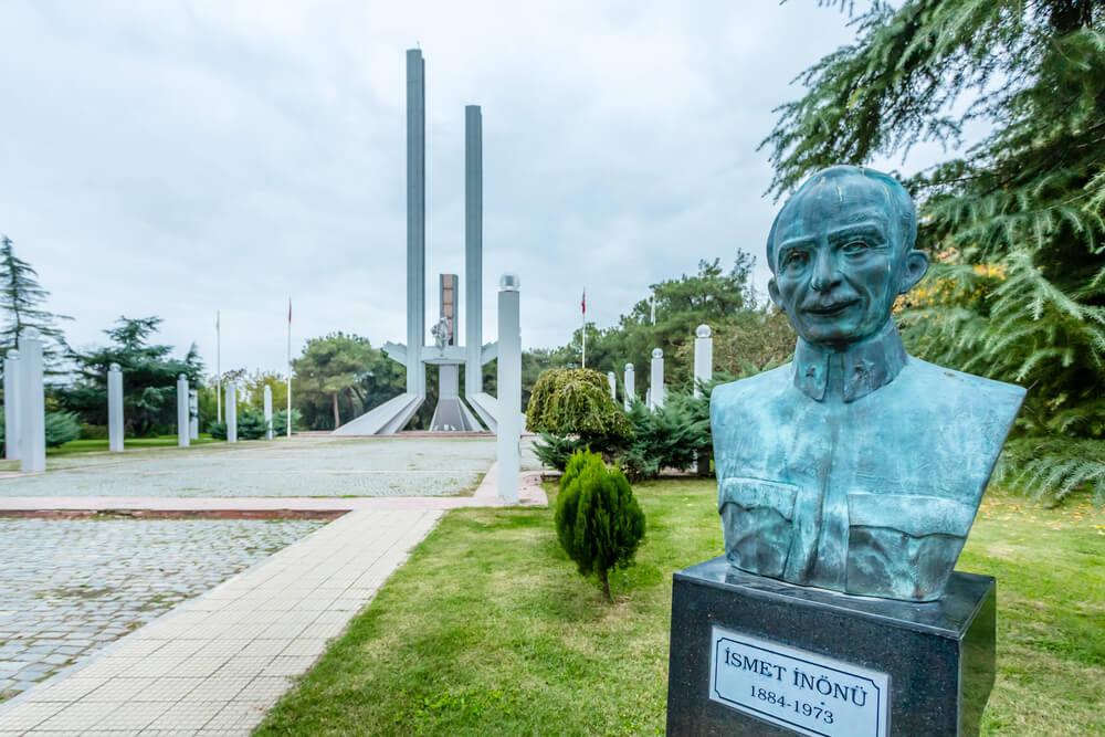
Signed on July 24, 1923, this treaty formalized Turkey’s borders as a national state rather than an empire, redrawing the eastern Mediterranean and Middle East and establishing the modern Syrian, Lebanese, Iraqi, and Palestinian territories under League of Nations mandates. The treaty replaced the harsher Treaty of Sèvres and created the territorial basis for modern Turkey.
The agreement established Turkey’s western and southern boundaries overnight.
Molotov-Ribbentrop Pact (1939)
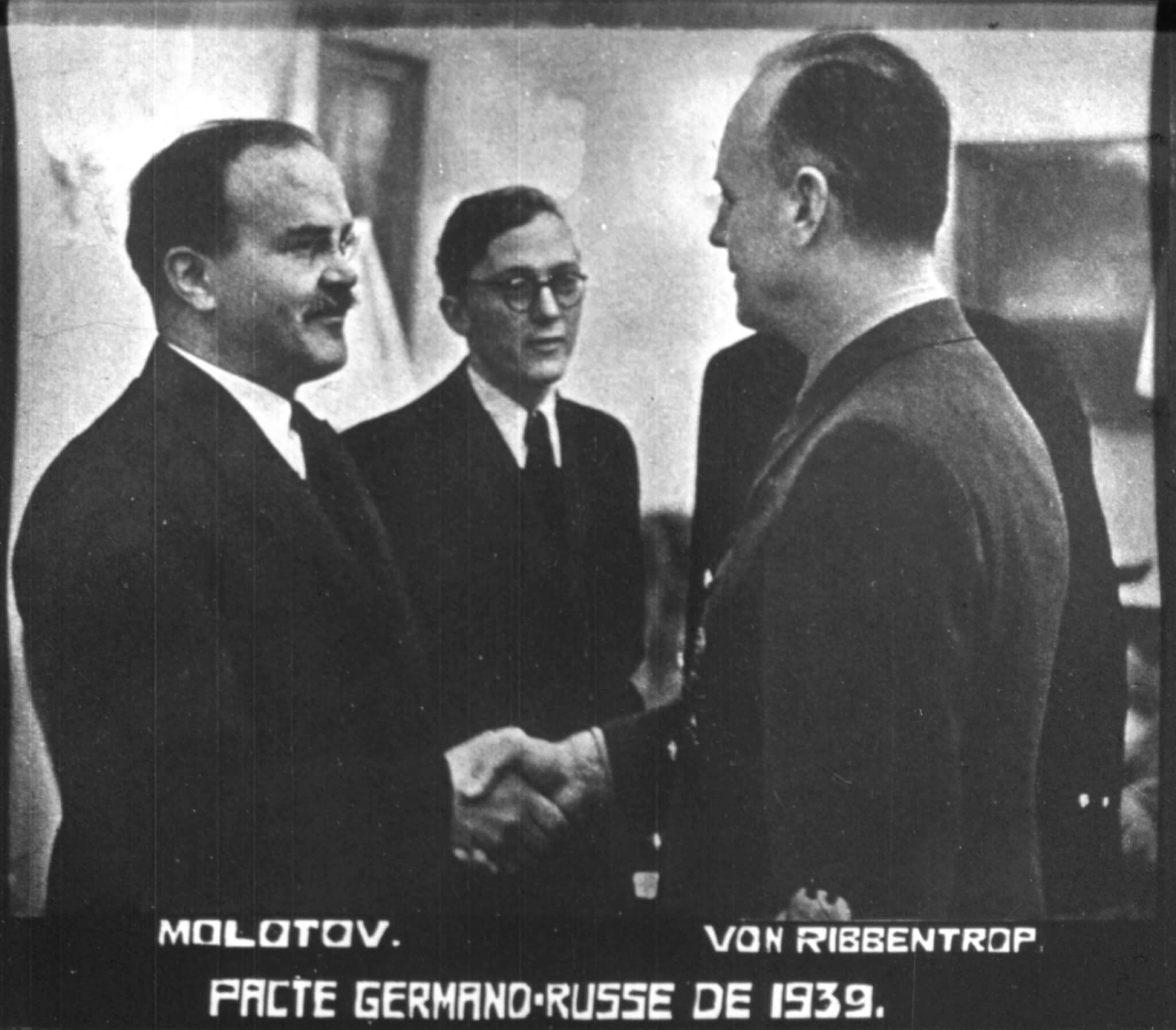
Signed on August 23, 1939, this agreement between Nazi Germany and the Soviet Union included a secret protocol that divided Eastern Europe into German and Soviet spheres of influence, redrawing the map of Poland and the Baltic states in advance of the invasions that followed weeks later. The treaty shocked the world by uniting ideological enemies.
The secret protocol wasn’t publicly revealed until after the war.
Tehran Conference Agreement (1943)
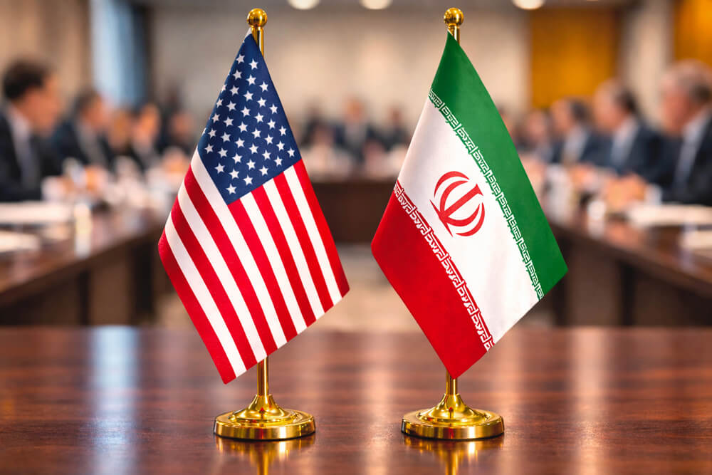
While the full agreement took time to articulate, the essential understanding reached on December 1, 1943, committed the Allies to postwar Soviet expansion in Eastern Europe and established the boundaries of Poland’s westward shift in a single day’s negotiation. Roosevelt and Churchill essentially agreed to Stalin’s territorial ambitions.
The agreement, kept secret, reshaped Eastern Europe before the war in Western Europe was even won.
Partition of India (1947)
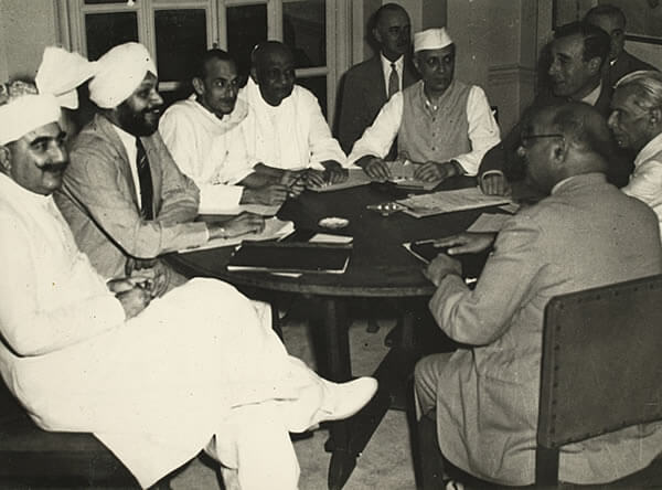
The Indian Independence Act, signed on July 18, 1947, partitioned the Indian subcontinent into India and Pakistan, creating two nations and redrawing regional boundaries in a single legislative act, triggering one of the largest migrations in human history and establishing the political geography that persists today. The partition was announced on June 3 and implemented on August 15, compressing the redrawing of an entire subcontinent into months.
The borders drawn that day divided communities that had coexisted for centuries.
UN Partition Plan for Palestine (1947)
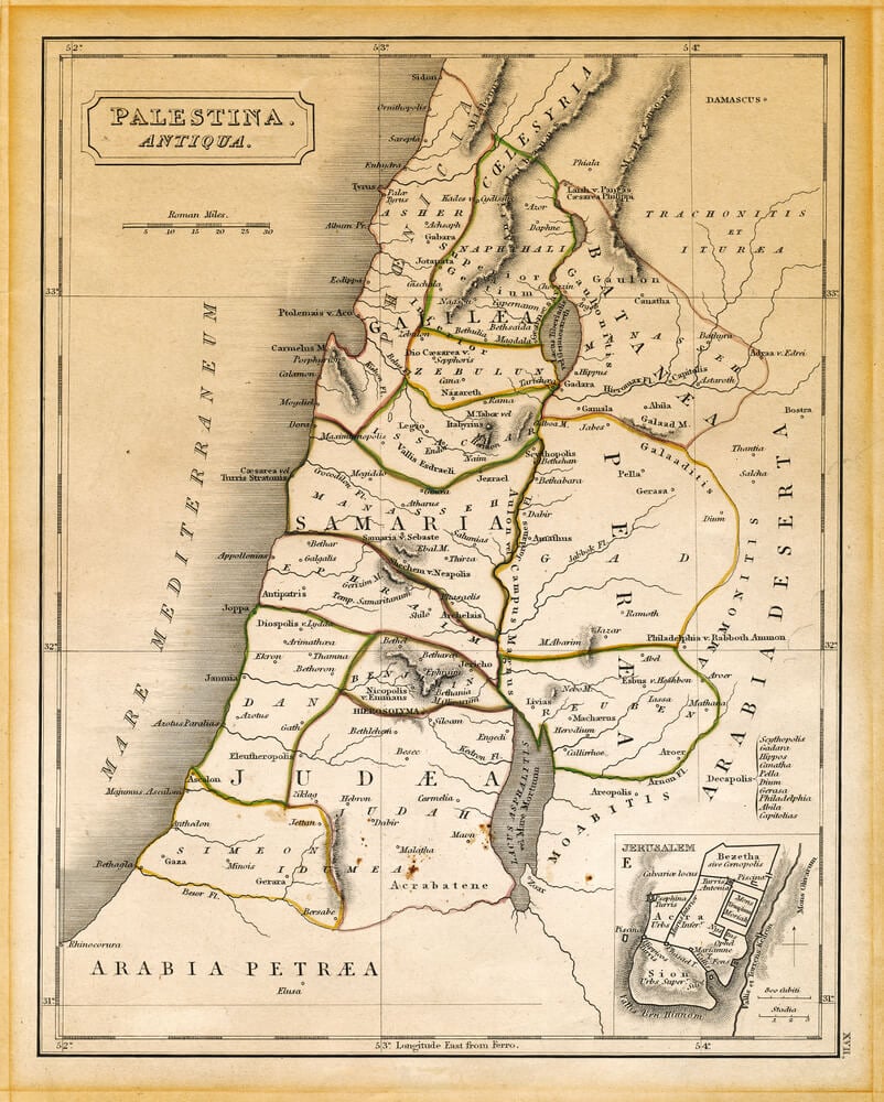
The UN General Assembly’s Partition Plan, voted on November 29, 1947, divided Palestine into Jewish and Arab states on paper, redrawing the political map of the Middle East and triggering immediate conflict. The plan was never fully implemented but established the legal framework for the State of Israel’s declaration in 1948.
The map drawn in that vote has structured Middle Eastern politics for over seventy years.
Partition of Korea (1945)
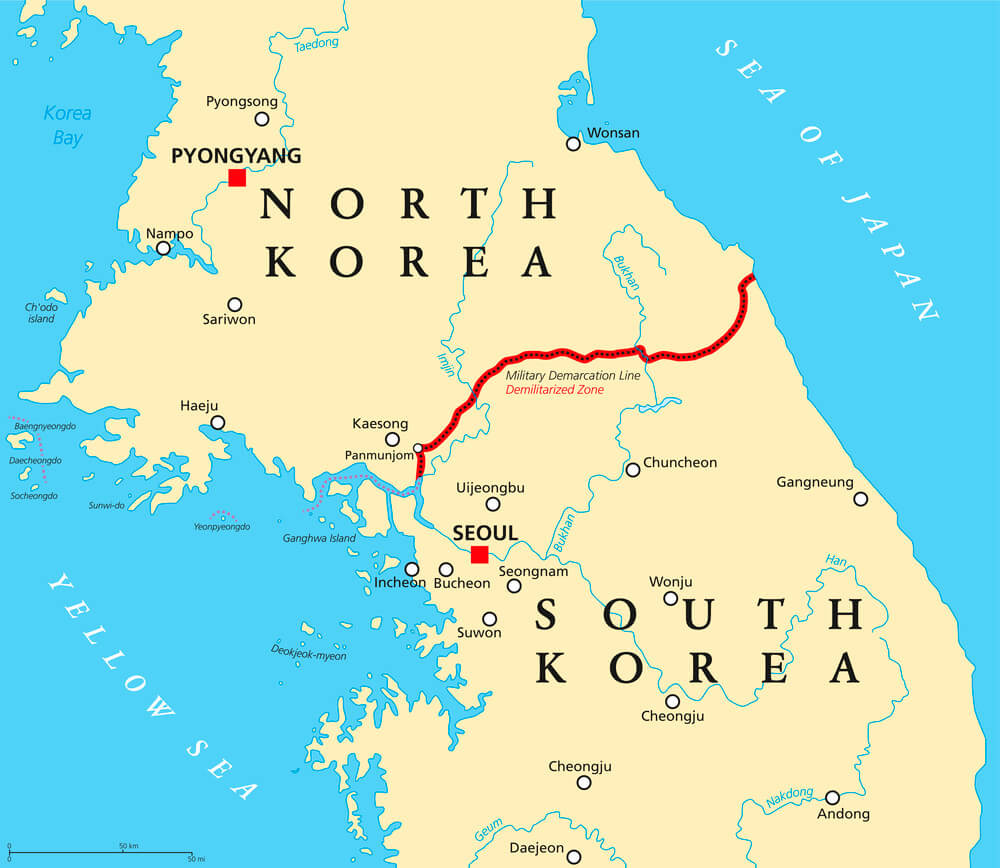
The division of Korea at the 38th parallel, formalized in a single decision in August 1945, redrew a peninsula that had been unified for centuries and created North and South Korea as separate political entities. The line was drawn hastily as Japanese forces withdrew and the Soviet Union entered the Pacific War.
Seventy-five years later, the peninsula remains divided along essentially the same line.
Berlin Blockade Resolution (1949)
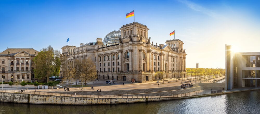
The decision to end the Berlin blockade, formalized on May 12, 1949, redrew Berlin’s relationship to the two superpowers and locked in place the divided-city arrangement that would persist until 1989. The agreement did not redraw physical boundaries but redrew the political meaning of the city in a single day.
Berlin remained divided for forty more years because of this one day’s agreement.
NATO Treaty (1949)
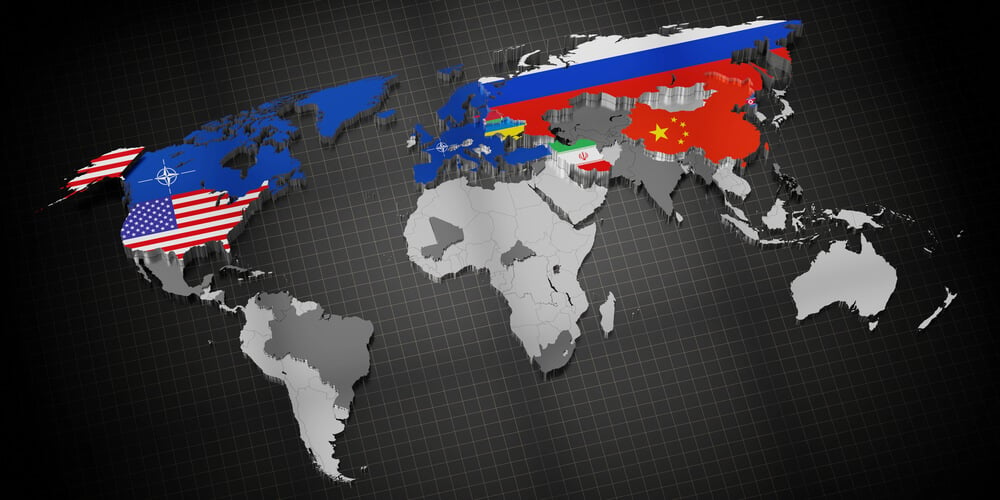
Signed on April 4, 1949, the North Atlantic Treaty created an alliance that redrew the geopolitical map of the postwar world, establishing a Western defensive sphere that would structure global politics for the next seventy years and beyond. The treaty created the first peacetime military alliance in Western history.
The alliance’s boundaries, established that day, persisted through the Cold War and continue to reshape European politics today.
Treaty of San Francisco (1951)
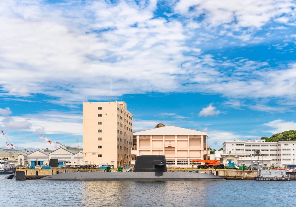
Signed on September 8, 1951, the Japanese peace treaty formally ended World War II in the Pacific, redrew Japan’s relationship to its former territories, established the U.S. occupation’s end, and set Japan’s postwar borders in a single day. The treaty left Japan stripped of all colonial territories and under continued U.S. military presence.
The agreement reshaped East Asian geopolitics for the postwar era.
Suez Crisis Resolution (1956)
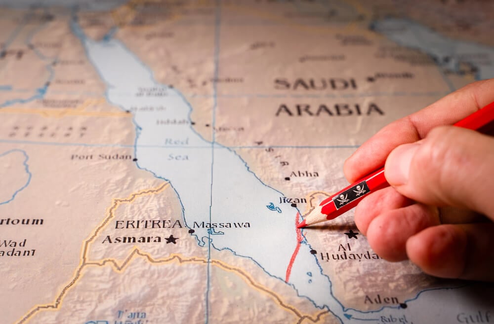
The agreement reached on November 7, 1956, ending the Suez Crisis, redrew Middle Eastern geopolitics by establishing Egyptian sovereignty over the canal and withdrawing European powers from their remaining colonial leverage in a single day’s negotiation. The resolution accelerated decolonization across Africa and Asia.
The crisis and its resolution proved that European powers could no longer redraw maps unilaterally.
Cuban Missile Crisis Resolution (1962)
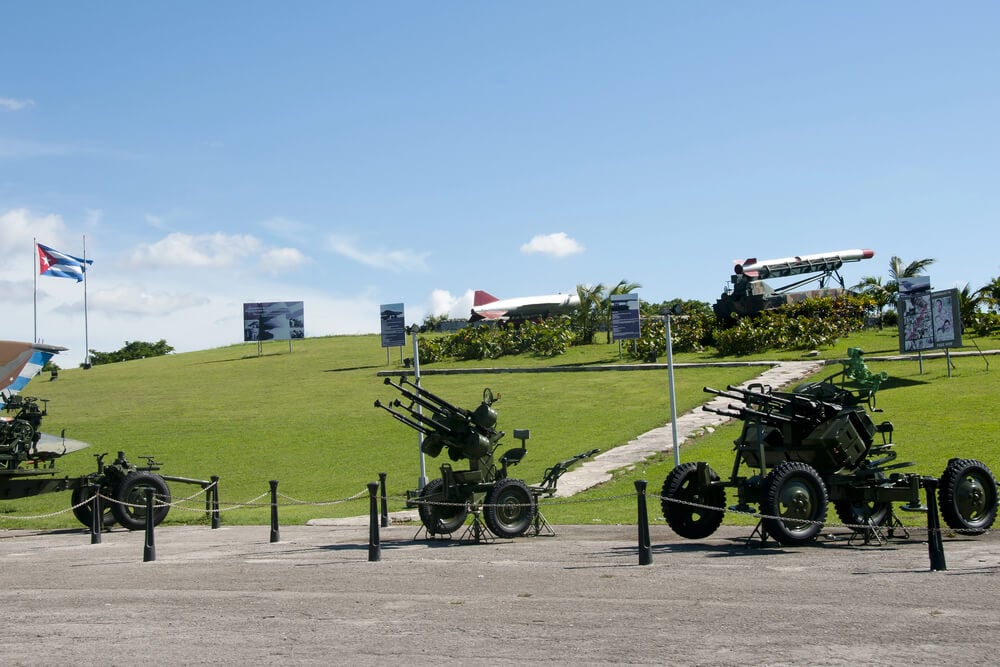
The agreement reached on October 28, 1962, ending the Cuban Missile Crisis, redrew the Cold War by establishing that nuclear-armed adversaries would not directly engage and that certain regions were understood as spheres of influence that neither side would directly challenge. The agreement was unwritten but binding.
The resolution established the Cold War’s temperature control system for the remaining thirty years of the conflict.
Six-Day War Resolution (1967)

The UN-brokered armistice agreed to on June 11, 1967, established the ceasefire that ended the Six-Day War and redrew the Middle Eastern political map by establishing Israeli control of the West Bank, Gaza Strip, and Golan Heights in a single day, reshaping the region’s politics for the next fifty-plus years. The territories captured in the war remain contested.
The agreement’s implementation proved more difficult than the agreement itself.
Camp David Accords (1978)

Signed on September 17, 1978, the Camp David Accords between Israel and Egypt redrew the Middle Eastern political landscape by establishing the first Arab-Israeli peace treaty and committing both nations to specific territorial and political arrangements in a single day. The agreement isolated Egypt within the Arab world but reshaped Israeli-Arab relations permanently.
The accords established a framework that persists in structure despite decades of conflict.
Fall of the Berlin Wall (1989)
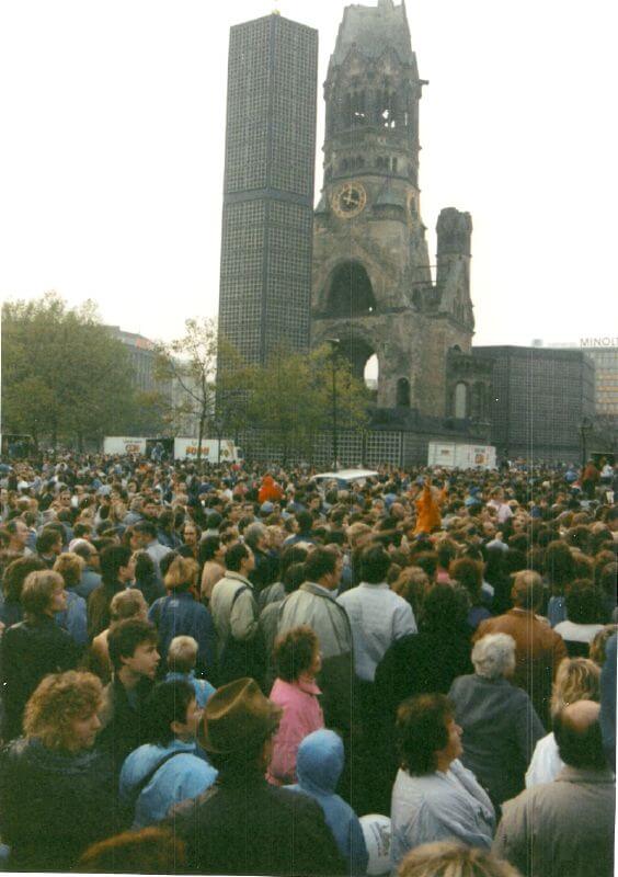
While the wall’s destruction took weeks, the November 9, 1989, decision to open the wall and allow free passage between East and West Berlin redrew the Cold War map in a single day, ending the most iconic symbol of division and accelerating the Soviet Union’s collapse. The decision was made and announced almost accidentally during a press conference.
The wall’s opening that night reshaped Europe in hours.
Dissolution of Czechoslovakia (1992)
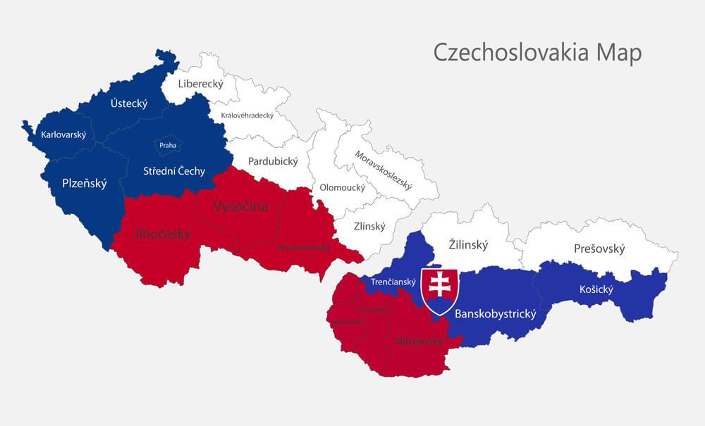
The agreement reached on December 31, 1992, to dissolve Czechoslovakia into separate Czech and Slovak republics, redrew Central European borders in a single day in what became known as the Velvet Divorce, splitting a nation that had existed for seventy years. The separation was relatively peaceful, though the decision was sudden.
Two nations existed where one had been the day before.
Brexit Referendum Result (2016)

While Brexit’s implementation is ongoing, the June 23, 2016, referendum result redrew Britain’s relationship to Europe in a single day, establishing that the United Kingdom would eventually leave the European Union and reshaping decades of political integration in a single vote. The referendum’s result shocked European political leadership.
The vote’s consequences continue to reshape European and British politics.
Recognition of Kosovo (2008)
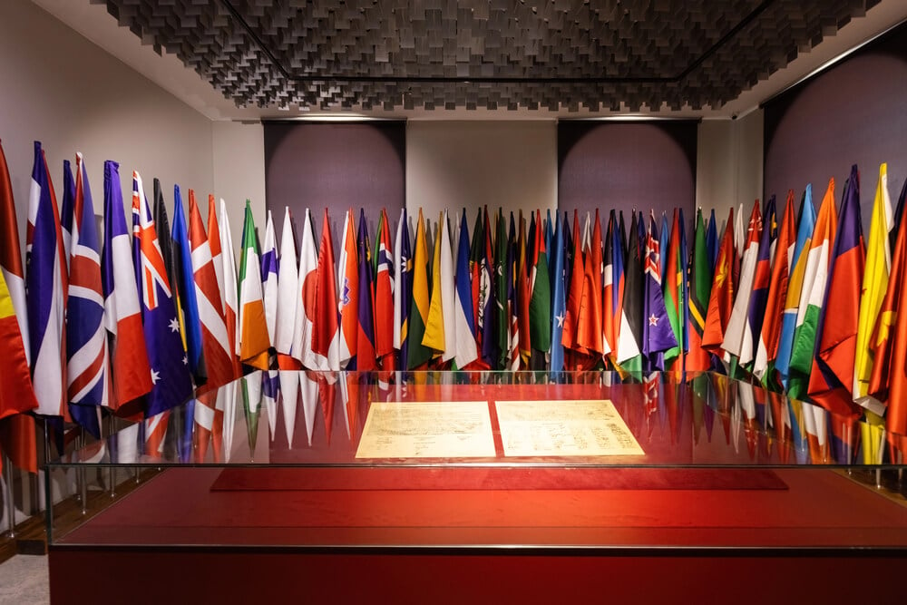
Kosovo’s declaration of independence on February 17, 2008, redrew the Balkans by creating a new nation recognized by many Western powers but disputed by Serbia and Russia in a single day, reshaping the region’s political map years after the Yugoslav Wars’ end. The declaration was unilateral rather than the result of a treaty.
The disputed independence continues to reshape Balkan politics.
Dissolution of the Soviet Union (1991)
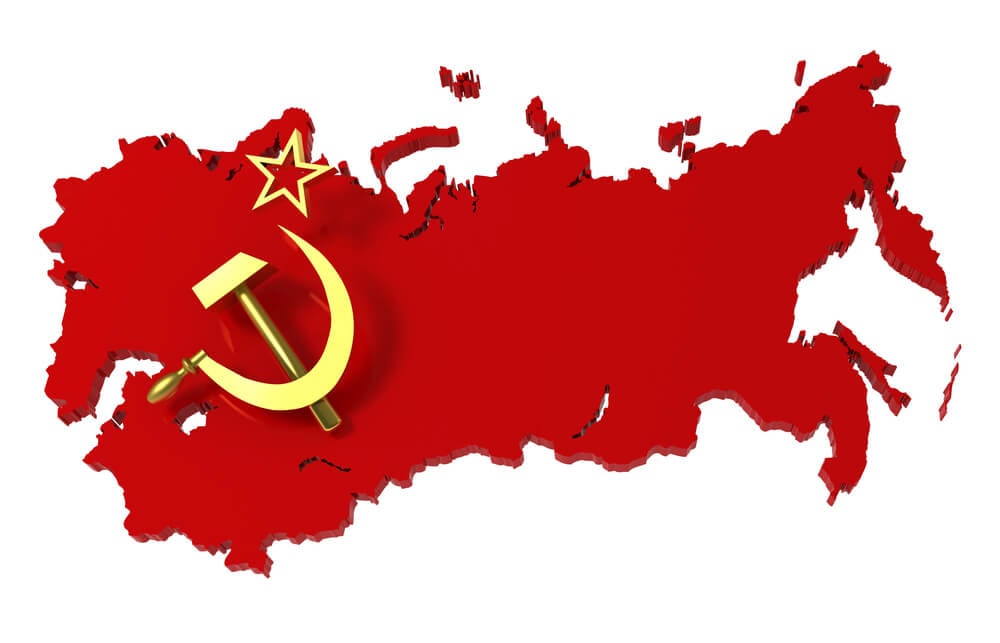
The Belovezha Accords, signed on December 8, 1991, established that the Soviet Union would be dissolved and replaced by a Commonwealth of Independent States, redrawing the entire political map of Eurasia and creating fifteen new independent nations from the Soviet republics in a single agreement. The dissolution was formalized by three presidents of Russian, Ukrainian, and Belarusian republics.
The agreement ended the Cold War more conclusively than any treaty.
Polish Border Shift (1945)
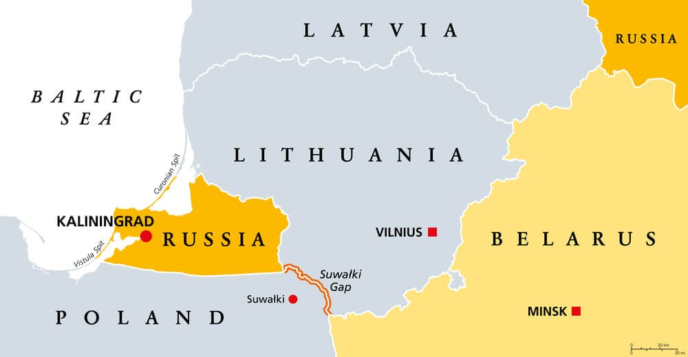
The agreements reached at Yalta and Potsdam in early 1945, formalized in July 1945, shifted Poland’s borders westward wholesale, giving Poland German territory while Poland lost eastern lands to the Soviet Union, redrawing Central Europe in a single summer and displacing millions. The shift was agreed to by Roosevelt, Churchill, and Stalin.
The new borders persisted through the Cold War and beyond.
Partition of Vietnam (1954)
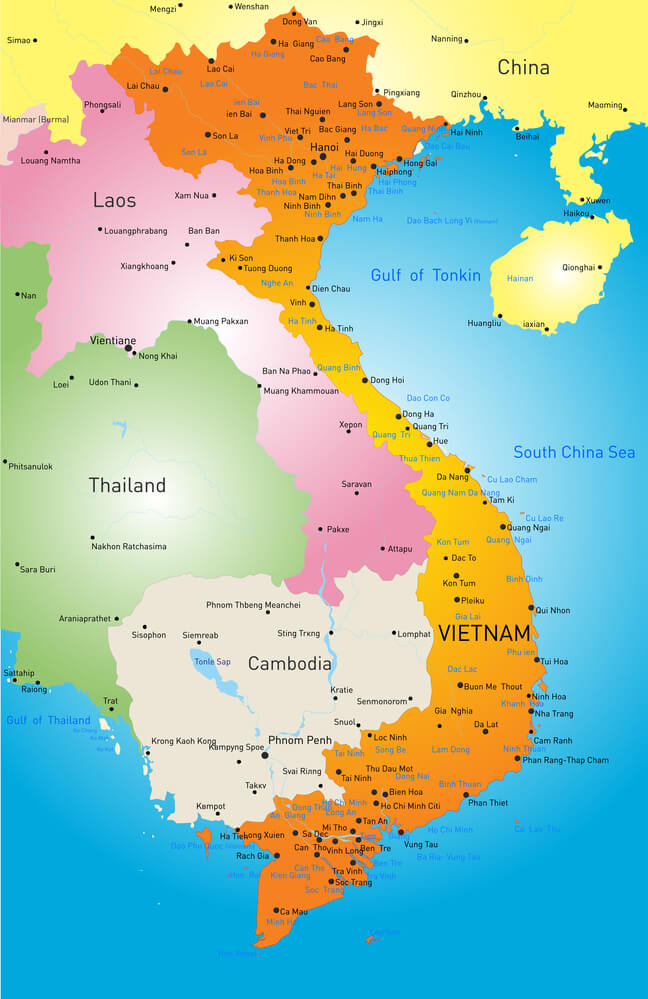
The Geneva Accords, signed on July 21, 1954, partitioned Vietnam at the 17th parallel into North and South Vietnam, redrawing the Indochinese map and establishing the territorial division that would lead directly to the Vietnam War. The division was meant to be temporary pending elections.
The partition lasted twenty-one years and defined Southeast Asian geopolitics.
When Maps Change Faster Than Understanding
Treaties that redraw maps in a single day compress decisions that should take years of implementation into moments of signature. The lines drawn at Tordesilis had no relationship to actual geography; the African borders drawn at Berlin crossed ethnic and linguistic boundaries with no regard; the Korean partition at the 38th parallel was arbitrary.
Yet these lines, drawn in hours or days, sometimes persist for centuries. Maps are surprisingly durable despite their arbitrary origins.
Once a treaty creates a border, the map becomes real in ways that abstract agreements rarely do.
More from Go2Tutors!

- The Romanov Crown Jewels and Their Tragic Fate
- 13 Historical Mysteries That Science Still Can’t Solve
- Famous Hoaxes That Fooled the World for Years
- 15 Child Stars with Tragic Adult Lives
- 16 Famous Jewelry Pieces in History
Like Go2Tutors’s content? Follow us on MSN.