27 Antique Maps Tucked Inside Old Frames That Sell for More Than the Frame Ever Would
Most people hang a framed map because it looks good on the wall. A few people discover — sometimes decades after the fact — that what they hung was worth more than everything else in the room combined.
The difference between a decorative reproduction and a genuine 17th-century engraving isn’t always obvious from ten feet away, which is exactly why old frames in estate sales and attic clearances deserve a second look before you price them at five dollars.
Condition shapes value more than almost any other factor in antique cartography. A crisp, original-colour example of a map that also exists in a faded, creased version can fetch four times the price of its tired counterpart.
Know what you’re looking at before you assume it’s wallpaper.
Abraham Ortelius’s Americae Sive Novi Orbis (1573)
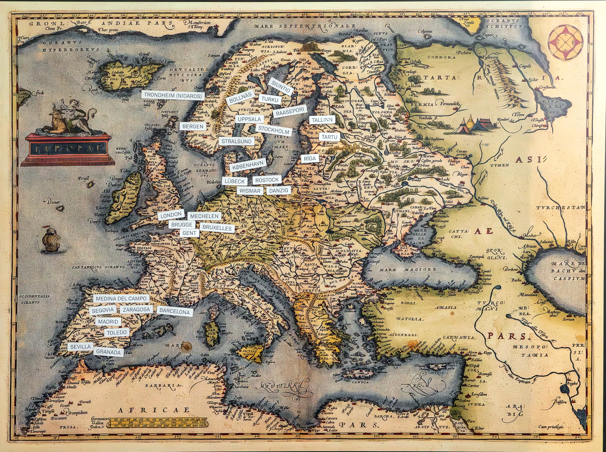
The first standardised map of the Americas to appear in a modern atlas, Ortelius’s depiction of the New World set the visual template that cartographers copied for generations. A first-plate example from 1573 blew past estimate at a 2024 auction, finishing at $10,925.
Later editions are more common but still attract serious collectors, with prices ranging from $2,000 to $8,000 depending on plate state and colour.
Joan Blaeu’s Nova Totius Terrarum Orbis Tabula (1648)
Willem Blaeu’s son Joan produced some of the most technically accomplished maps of the Dutch Golden Age, and this double-hemisphere world map is among the finest examples of that era’s cartographic ambition. A 1648 wall version attributed to the Blaeu workshop fetched $1.2 million at auction, making it one of the most valuable single sheets in the modern map market.
Individual atlas pages from Blaeu are more accessible, typically selling for $1,000 to $15,000.
Henricus Hondius’s 1633 World Map
Engraved for Parisian publisher Jean Le Clerc and based on Rumold Mercator’s double-hemisphere layout from 1587, this map features a Northwest Passage and a vast southern continent that reflects how confidently wrong cartographers could be about undiscovered landmasses. The decorative border alone required months of skilled engraving work.
A 2024 auction saw one sell for $8,050, well past its high estimate.
Jodocus Hondius’s Chesapeake Region Map (Circa 1630)
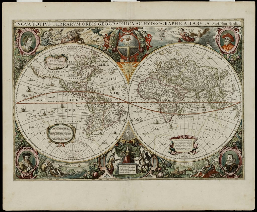
The Hondius name appears on some of the most sought-after regional maps of the early 17th century, and this depiction of the Chesapeake region is a prime example. A single Henricus Hondius Chesapeake map sold independently for $2,100 in 2024, and a lot of four maps including one of these examples cleared $1,190 at a separate sale.
Regional specificity drives collector interest: the more precisely a map documents a place people care about, the more fiercely they compete for it.
William Blaeu’s Nova Virginiae Tabula (1642)
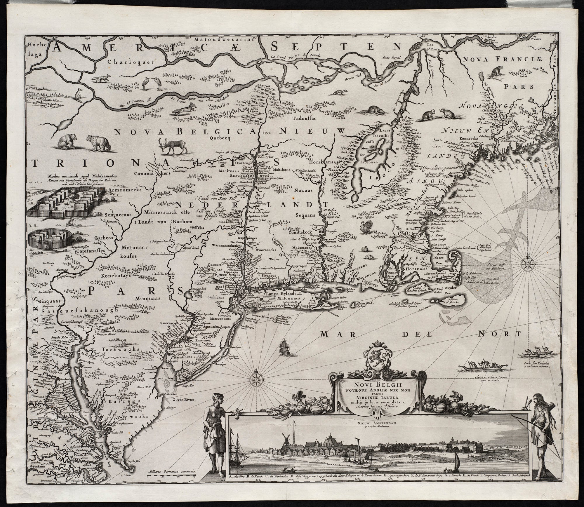
Derived from Captain John Smith’s original 1612 survey — the map Pocahontas’s father would have recognised — Blaeu’s version is considered one of the most historically important 17th-century maps of the Chesapeake Bay. It sold for $9,775 at a 2024 auction.
The connection to Smith’s first-hand exploration adds a provenance dimension that purely decorative maps simply cannot replicate.
Gerhard Mercator’s Atlas Pages (1585–1595)
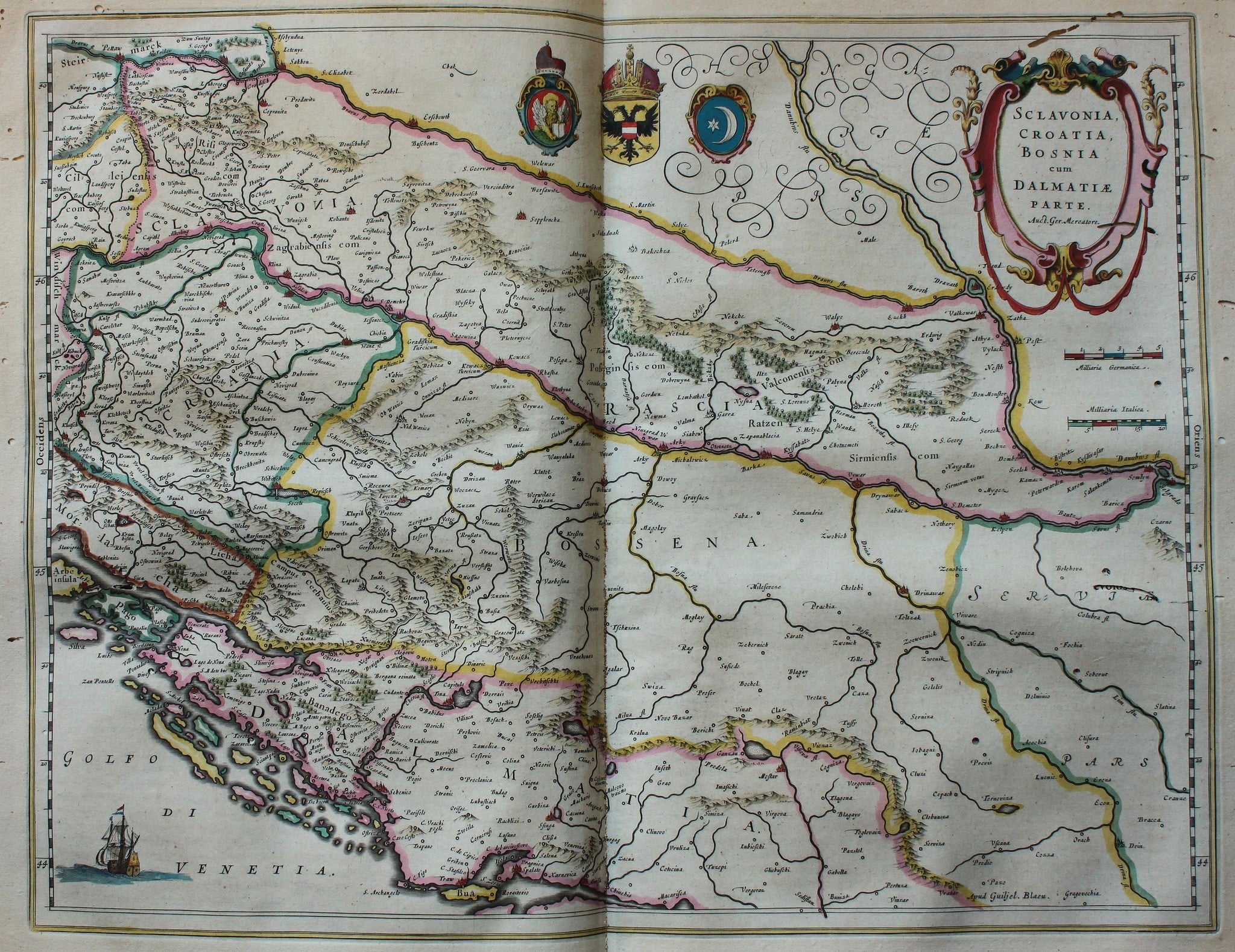
Mercator’s innovation — a projection that let sailors plot straight compass lines — changed navigation permanently, and original pages from his multi-volume atlas are prized as artefacts of that revolution. The Mercator-Hondius-Janssonius atlas, which extended his work into the 17th century, produced thousands of individual map sheets.
Clean, well-coloured pages sell for $300 to $3,000 depending on the region depicted, with maps of Japan, the Americas, and the Holy Land commanding premiums.
Sebastian Münster’s Cosmographia Maps (1544 Onwards)
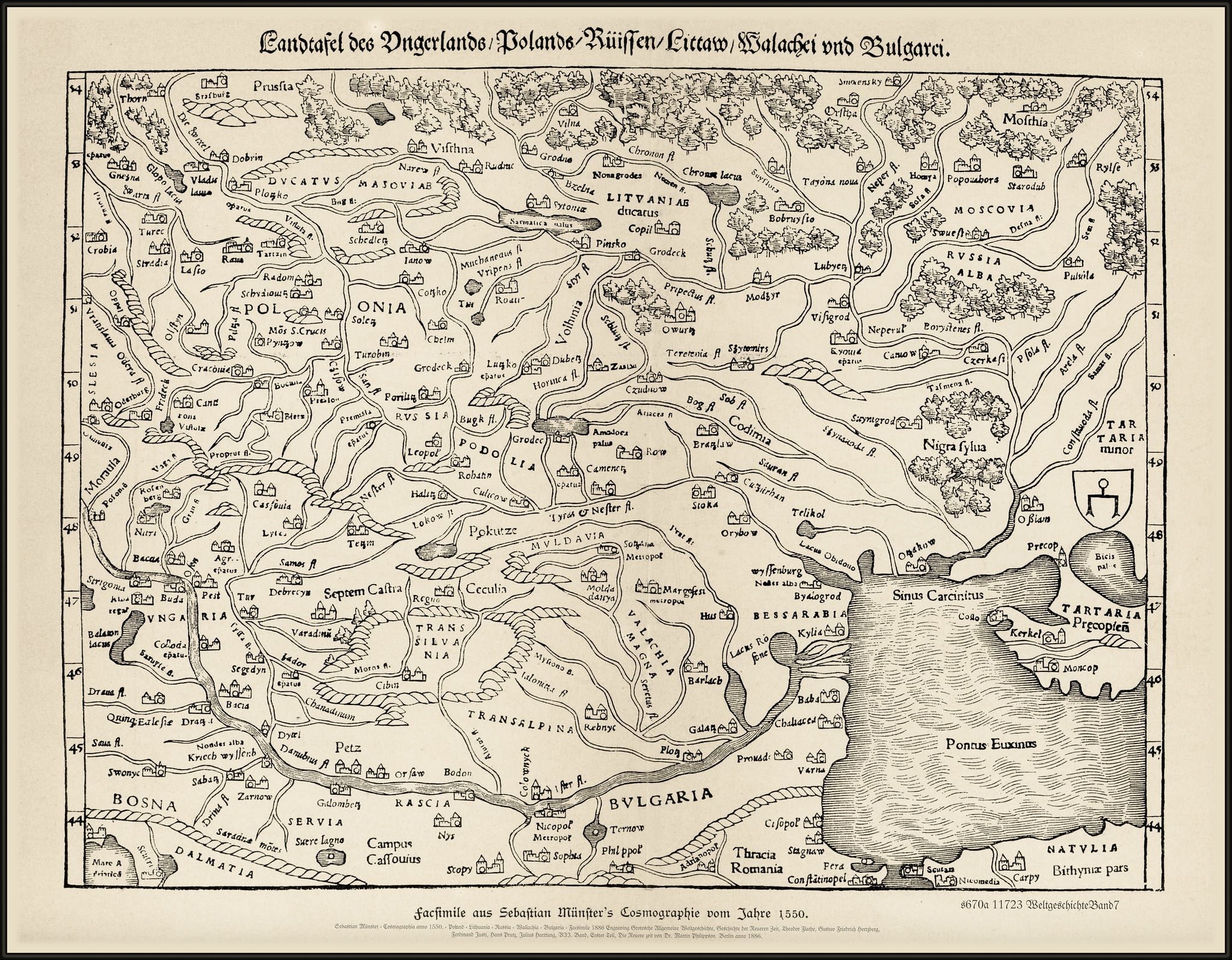
Münster’s Cosmographia was the most widely read geography book of the 16th century, combining maps with cultural and historical descriptions in a format that made it the Wikipedia of its day. Complete copies sell for $100,000 to $200,000, but individual map sheets extracted from damaged copies are far more attainable, typically fetching $5,000 to $15,000.
A map of the British Isles or Germany in good colour from this source can turn up in an inherited frame and surprise everyone in the room.
John Speed’s County Maps of Britain (1611–1627)
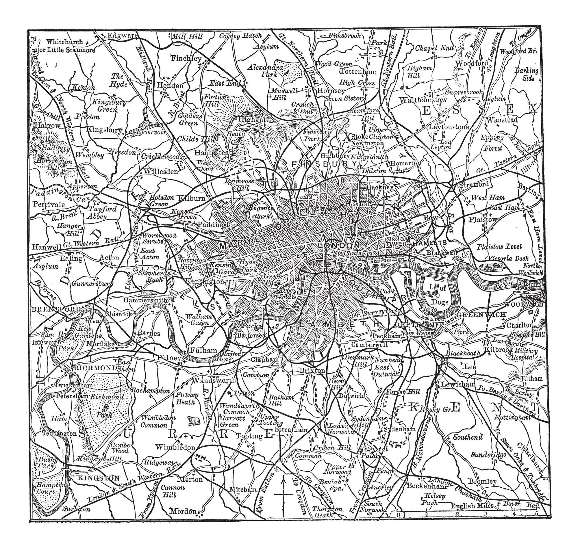
Speed was England’s first great atlas publisher, and his county maps of Britain remain among the most collected antique maps in the English-speaking world. Each features an inset town plan and decorative cartouche that made them popular as framed artwork even in the 17th century — meaning many survived in frames.
Prices range from $400 for common counties to $3,000 or more for rare or early-coloured examples of Scotland and Wales.
Portolan Charts (14th–16th Century)
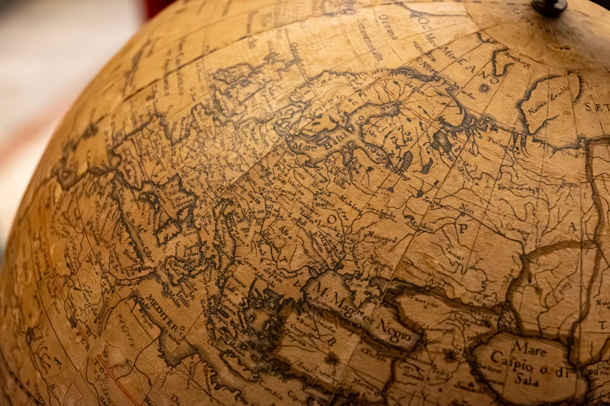
Portolan charts were working navigation tools drawn on vellum — usually sheepskin — by professional chartmakers in Genoa, Venice, and Mallorca. They depict coastlines with astonishing accuracy for their era, covered in rhumb lines radiating from compass roses.
Genuine examples are extremely rare, and auction results at Sotheby’s and Christie’s regularly reach six figures. A chart found in a frame is almost certainly a later reproduction, but verification by a specialist is always worth the effort.
Andreas Cellarius’s Harmonia Macrocosmica (1660–1668)
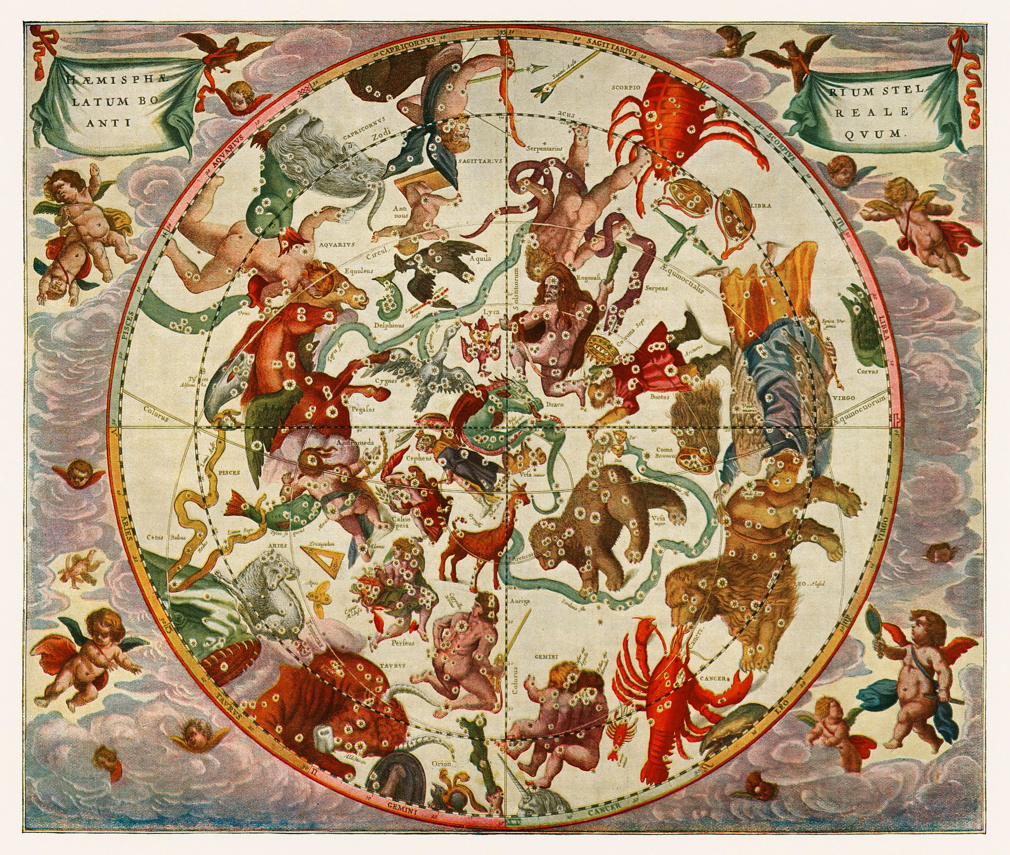
Cellarius produced the most beautiful celestial atlas ever printed, depicting constellations and planetary systems in hand-coloured double-page spreads that look more like Baroque paintings than scientific diagrams. A 1668 example sold for £68,500 (approximately $87,000) in 2015.
Individual plates from damaged copies appear at auction regularly and can fetch $1,000 to $8,000 depending on the celestial subject and the quality of the original colouring.
Nicolaes Visscher’s Maps of the Netherlands
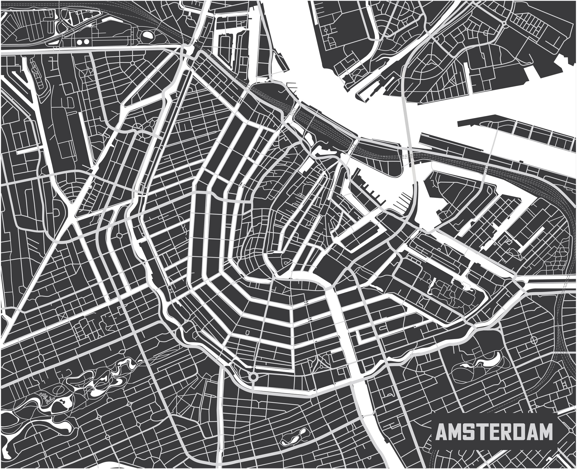
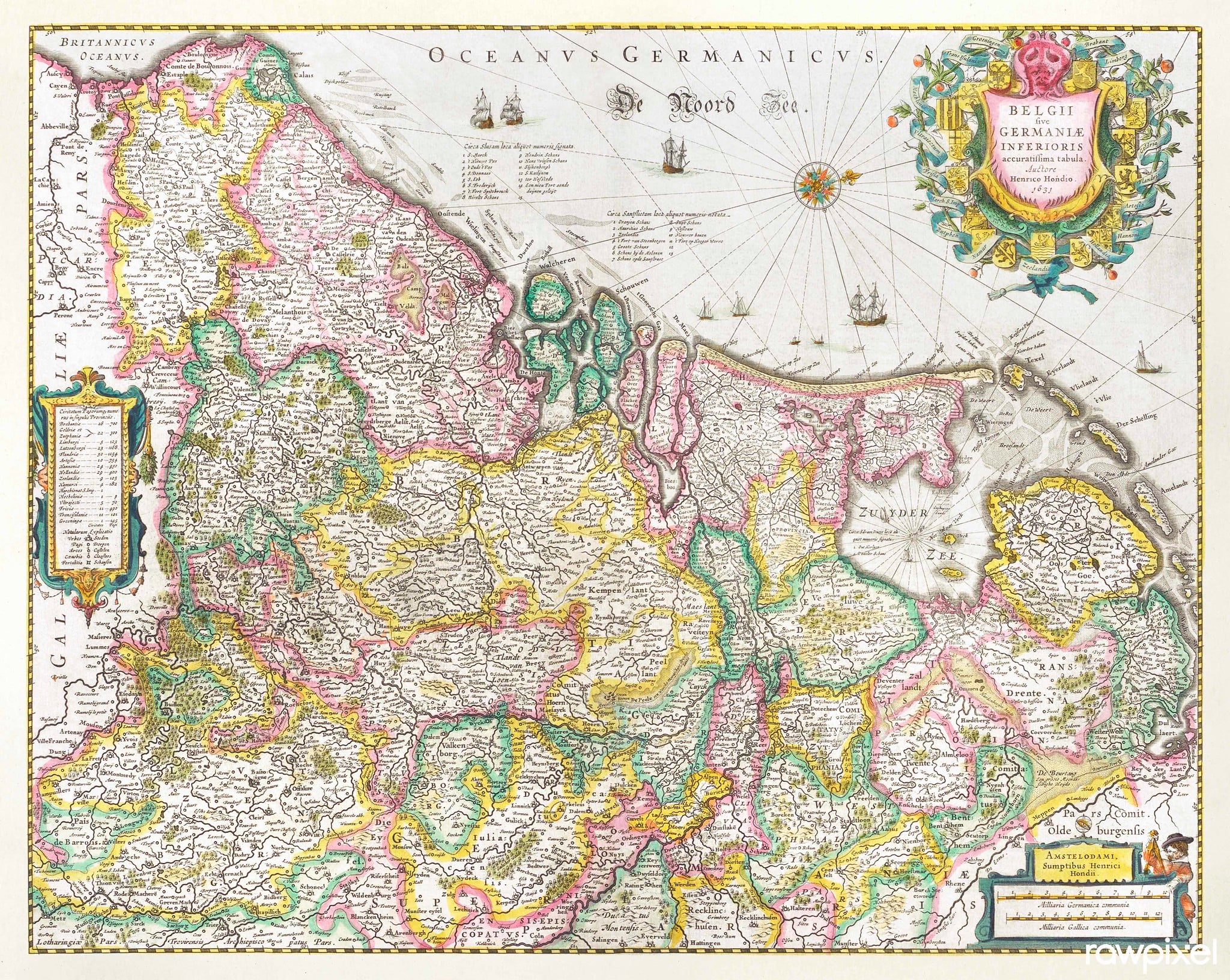
Visscher ran one of Amsterdam’s most prolific publishing houses in the second half of the 17th century, producing regional maps notable for their decorative borders and reliable geography. Maps of the Low Countries from Visscher are particularly sought after in the Netherlands and Belgium, where local buyers push prices well above what a comparable map of another region would achieve.
Condition-dependent values range from $300 to $4,000.
Alexis-Hubert Jaillot’s French Regional Maps (1670s–1690s)
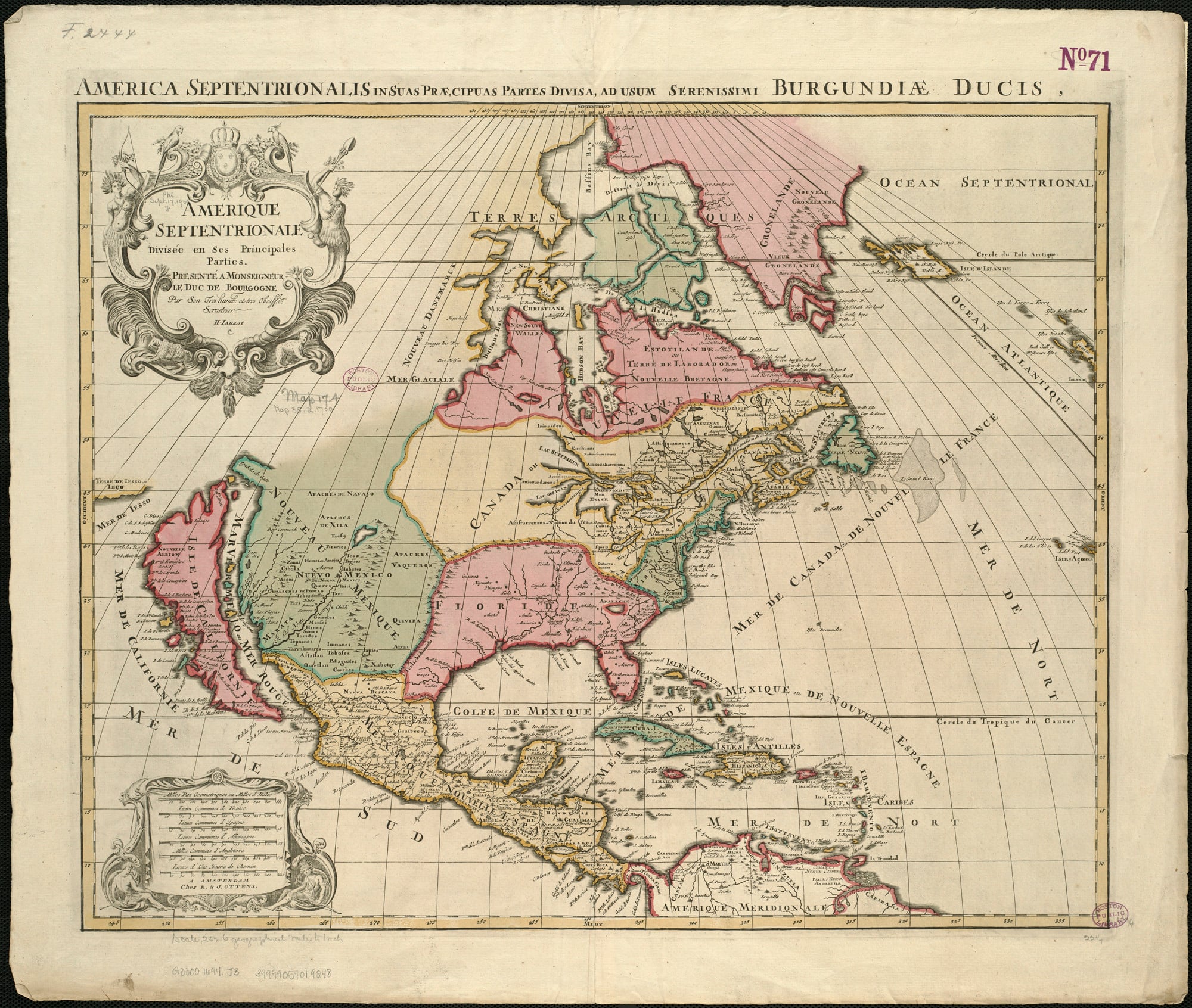
Jaillot was the dominant French cartographer of the late 17th century, producing large-format maps of French provinces that combined genuine geographic information with the ornamental excess Louis XIV’s court expected from all its official productions. His maps rarely surface at general estate sales but appear regularly at French provincial auctions, where they sell for $500 to $5,000.
The engraving quality is consistently high, making them genuinely decorative as well as historically significant.
Guillaume De L’Isle’s World Maps (1700–1726)
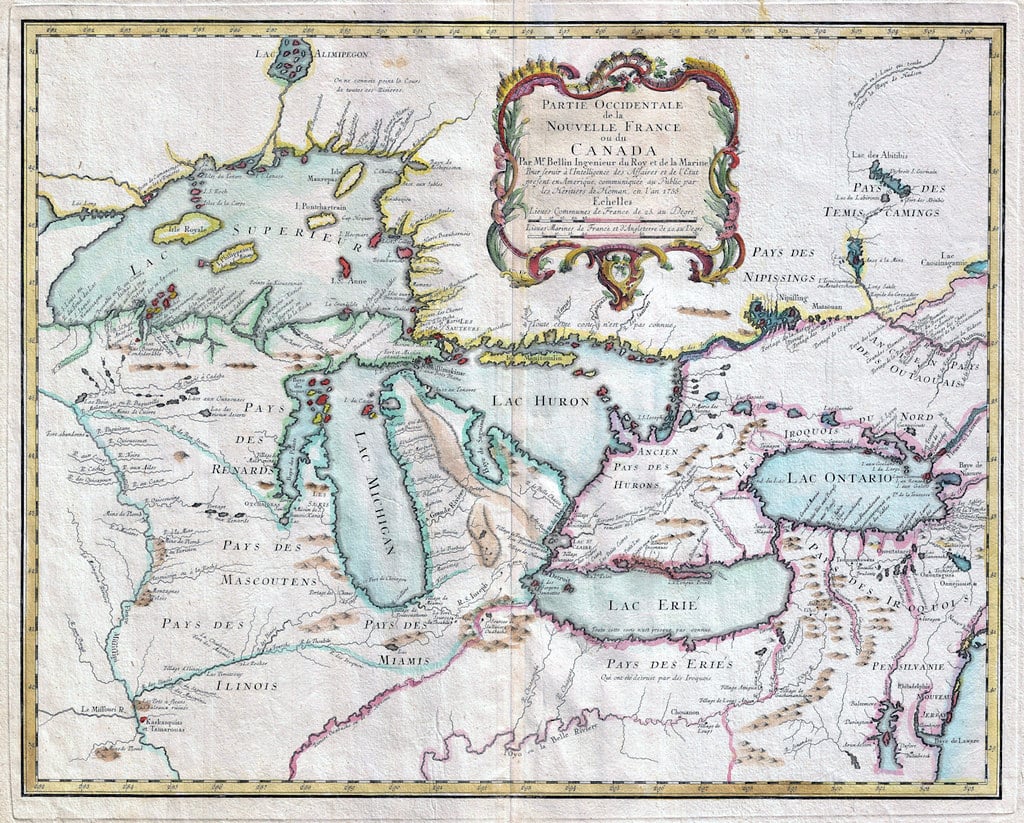
De L’Isle is often credited with bringing scientific rigour to an era that had previously tolerated considerable geographic invention on printed maps. His 1700 world map was the first to remove the mythical southern continent from the Pacific, replacing speculation with blank space and honest uncertainty.
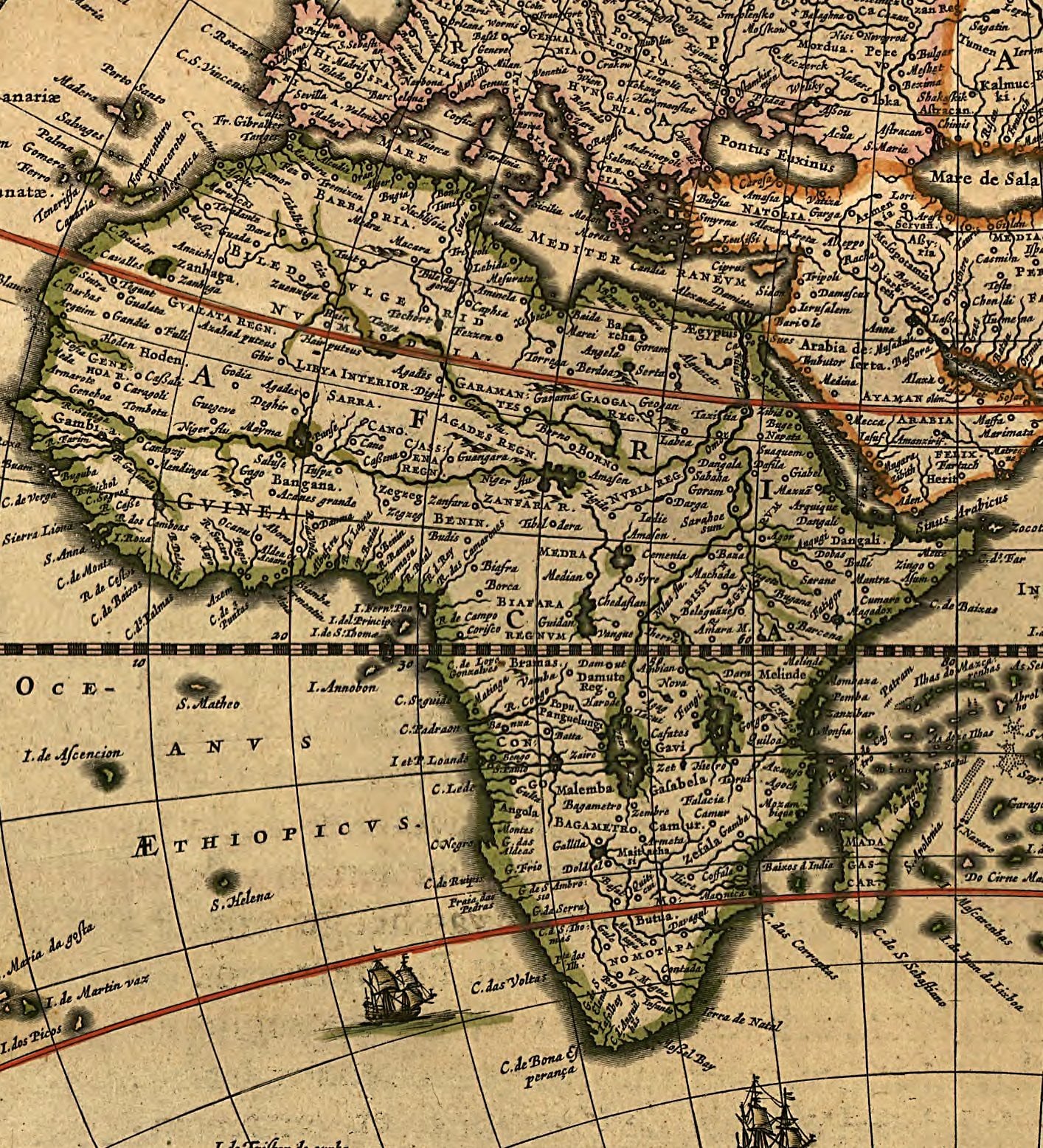
Original examples sell for $2,000 to $12,000, with his maps of Africa and North America particularly prized among collectors who focus on the history of geographic knowledge.
Heinrich Kiepert’s 19th-Century Classical World Maps
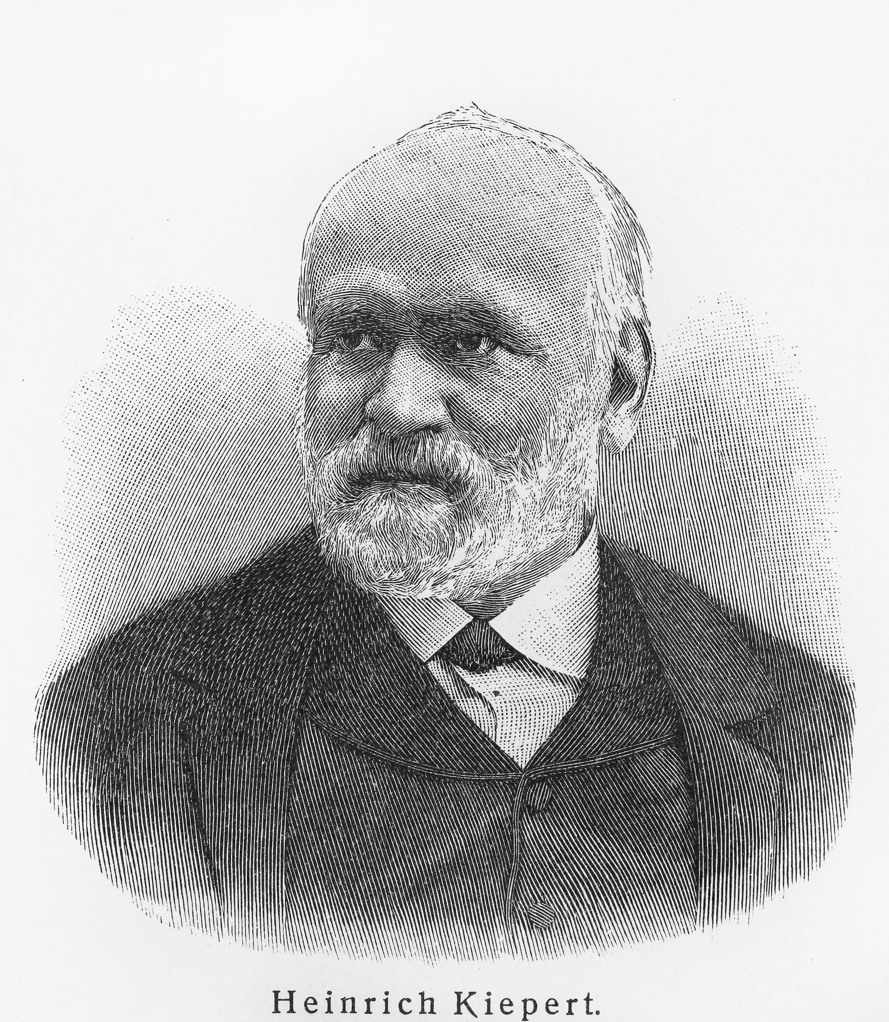
Kiepert produced detailed maps of the ancient Greek and Roman world for German academic publishers in the 1840s through 1880s, and they became standard classroom references across Europe. Because they were produced in large quantities for educational use, they appear regularly in estate frames, often passed down as wall decorations in homes with an interest in classical history.
Most sell for $50 to $400, but early hand-coloured examples in exceptional condition can reach $800.
19th-Century Railroad Maps of the United States
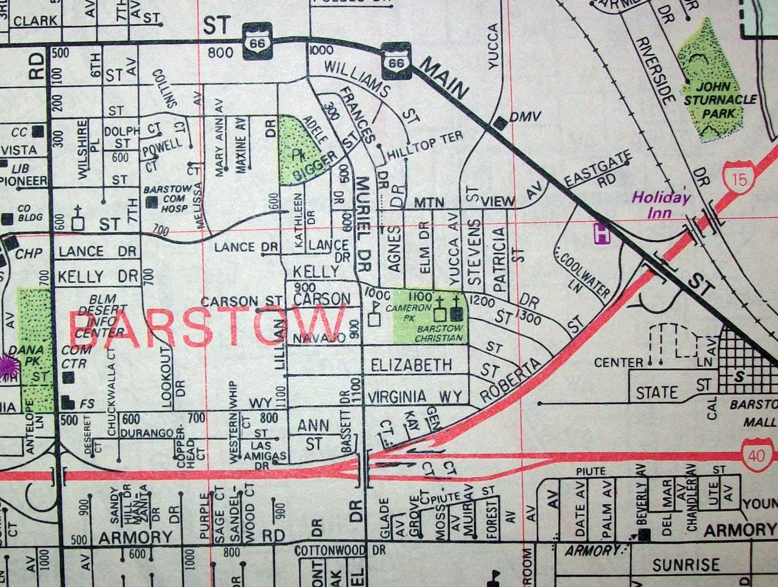
Rand McNally produced detailed railroad network maps from the 1870s onwards, and competing publishers filled the market with their own versions as the transcontinental network expanded. These maps documented an infrastructure revolution in real time and now attract both railroad enthusiasts and general cartography collectors.
Good examples in original folds sell for $60 to $500, with maps from defunct oil companies or depicting now-vanished rail lines fetching more.
Disneyland Opening Day Souvenir Maps (1955)
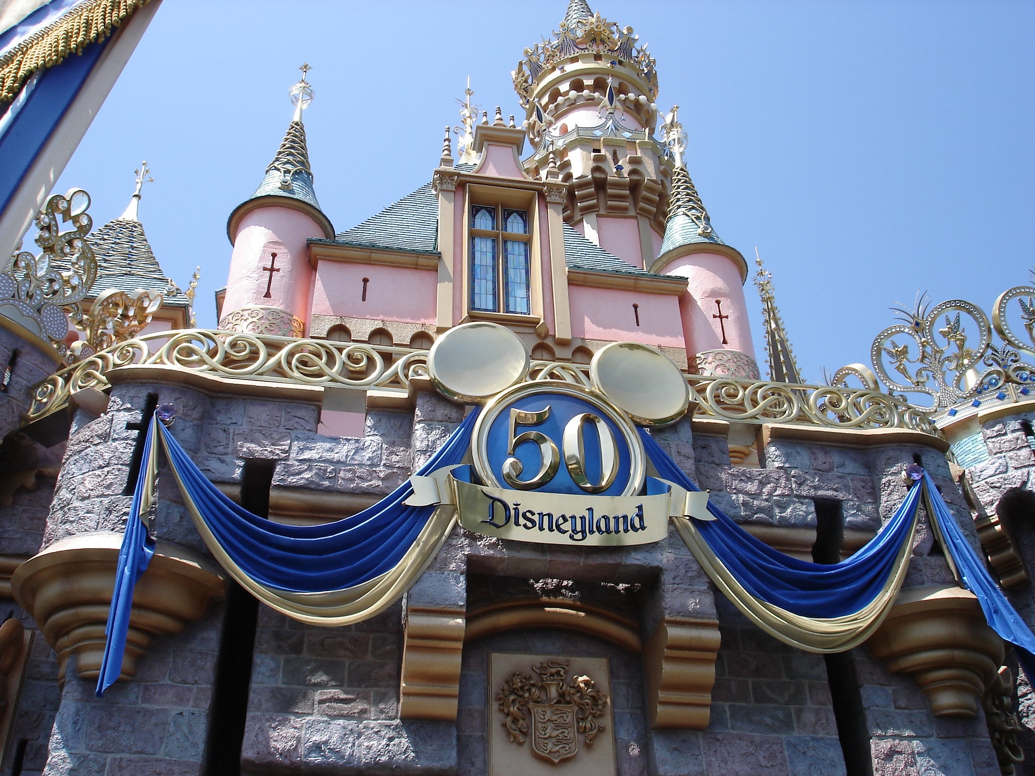
Handed to visitors at Disneyland’s first public opening on July 17, 1955, these illustrated park maps show a layout that bears only passing resemblance to the park as it exists today. The whimsical illustration style and vintage park geography attract both Disney collectors and mid-century memorabilia buyers, and pristine copies have become genuinely scarce.
Estimates place good examples at $150 and above, with exceptional copies commanding multiples of that at specialist auctions.
Harry Beck’s London Underground Map Originals (1933)
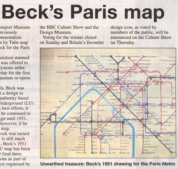
Beck was a technical draughtsman who redesigned the London Underground map in 1933 as a topologically accurate diagram rather than a geographically literal one — a concept so radical that London Transport initially rejected it. Original printed copies of early editions have become icons of 20th-century graphic design and sell for $1,000 to $6,000 at specialist design and cartography auctions.
Reproductions are everywhere, but the originals carry a printing characteristic that experts can identify immediately.
US Geological Survey Topographic Maps (Pre-1950)
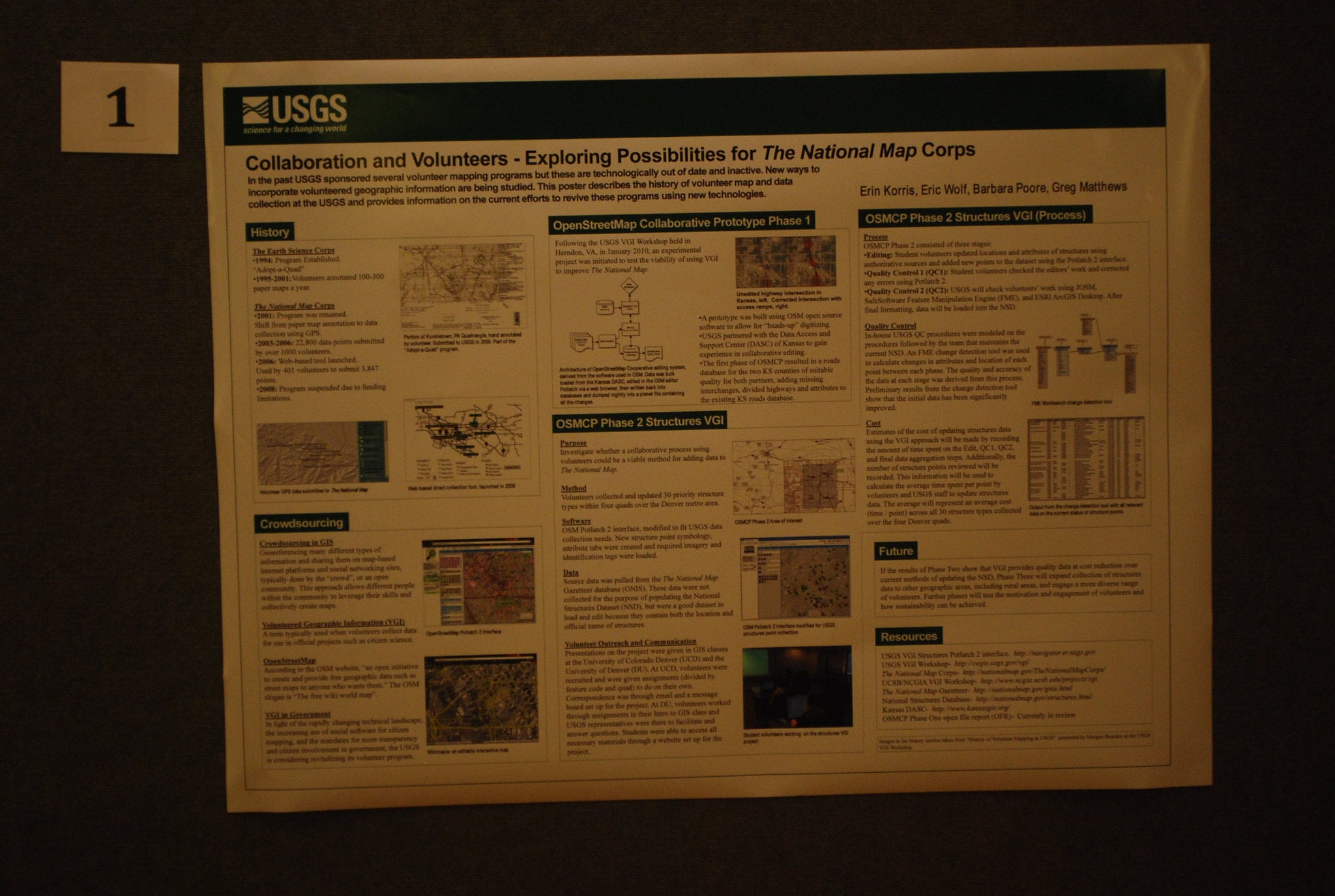
USGS topographic maps of the American West produced before 1950 documented regions that have since changed beyond recognition — ghost towns, pre-dam river valleys, Native American settlement patterns. Local collectors often pay premiums for maps depicting their specific county or watershed, and maps showing now-vanished settlements can reach $125 to $500 depending on rarity and condition.
John Mitchell’s Map of British and French Dominions in North America (1755)
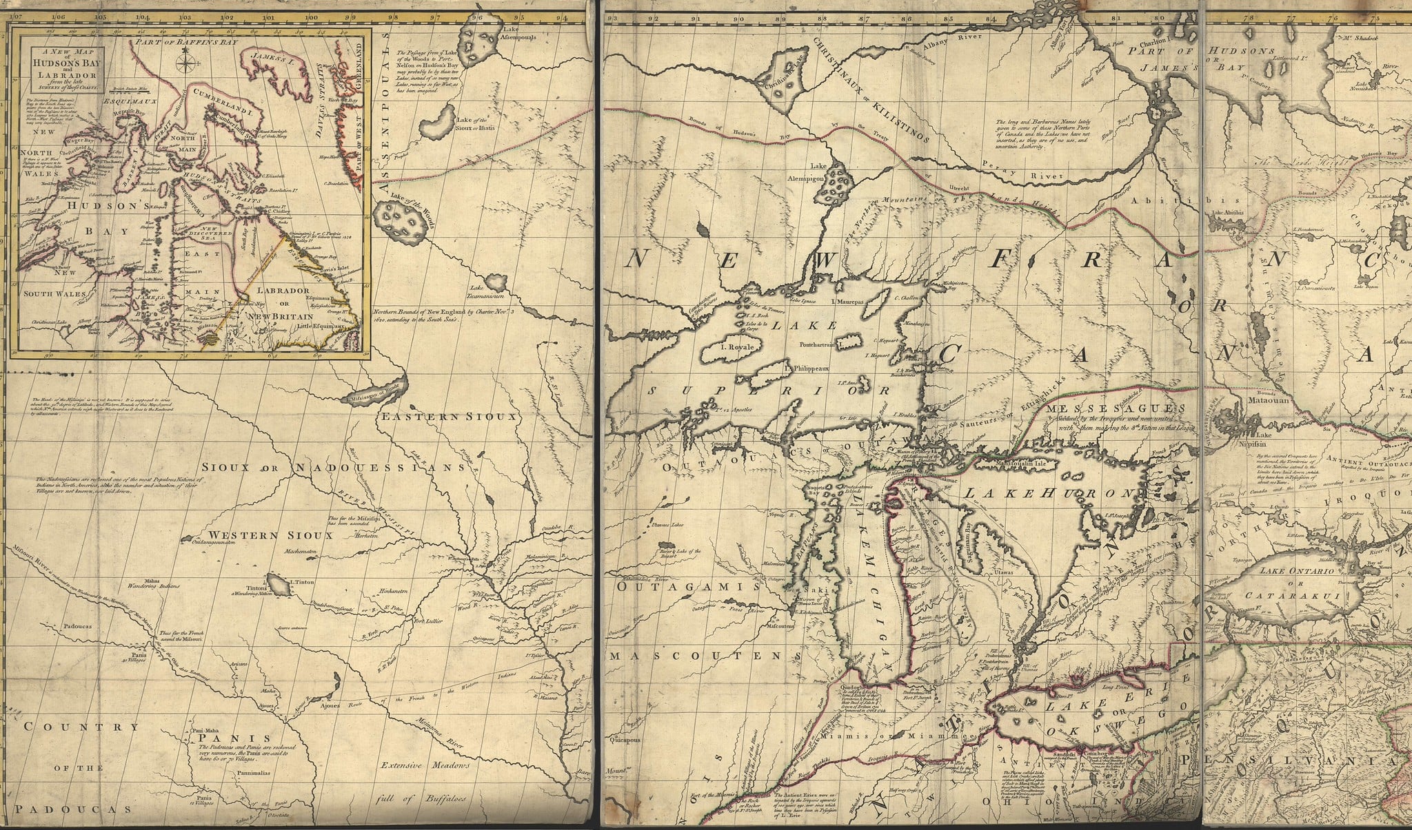
Mitchell’s map was the document used to settle the boundaries of the United States in the 1783 Treaty of Paris, making it arguably the most politically consequential map ever printed. Large original impressions are extremely rare and command prices in the tens of thousands at specialist auctions.
Smaller extracted versions and contemporary European reprints appear more regularly and still achieve $3,000 to $15,000 when condition is strong.
Pieter Goos’s Sea Charts (1666–1672)
Goos published the De Zee-Atlas — a comprehensive maritime atlas covering global sea routes — at a moment when Dutch maritime supremacy made accurate sea charts a commercial necessity. Individual charts from this atlas surface regularly in estate sales in the Netherlands and its former colonies, where they were passed down as family artefacts.
Clean examples sell for $600 to $4,000, with charts of Southeast Asia and the Caribbean attracting particularly competitive bidding.
Antique City Plans of Constantinople and Jerusalem

Pre-1700 city plans of Constantinople and Jerusalem occupy a unique position in the map market: they attract not only cartography collectors but also historians, religious institutions, and Ottoman and Byzantine specialists who bid from entirely separate collecting communities. A Braun and Hogenberg plan of Constantinople from their Civitates Orbis Terrarum (first published 1572) can reach $2,000 to $8,000 in good hand-colouring.
Matthew Flinders’s Charts of the Australian Coast (1814)
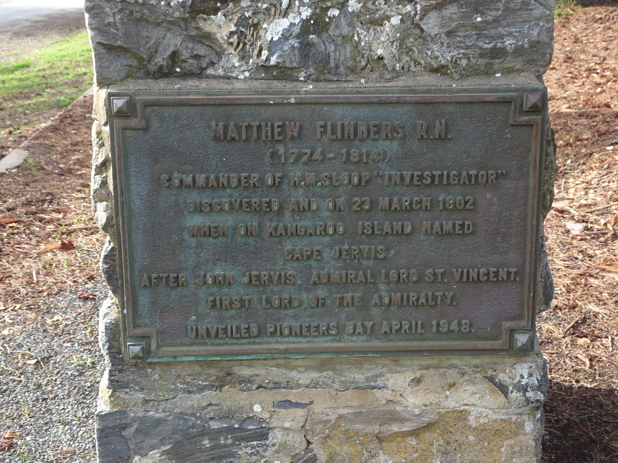
Flinders’s charts of the Australian coastline, produced after his circumnavigation of the continent between 1801 and 1803, were the first accurate maps of Australia as a complete landmass. They appeared in his 1814 publication A Voyage to Terra Australis and are among the most prized items in Australian cartographic history, where nationalist collecting interest pushes prices well above what the maps’ artistic quality alone would justify.
Lewis and Clark’s 1814 Expedition Map
Published alongside the official account of the Corps of Discovery expedition, this map represented the first reasonably accurate depiction of the American West as far as the Pacific coast. Examples connected to the Lewis and Clark publications have sold for over $6,000, and the historical significance of the journey ensures strong bidding from American history collectors who would not otherwise enter the map market.
Japanese Edo Period Regional Maps (17th–19th Century)
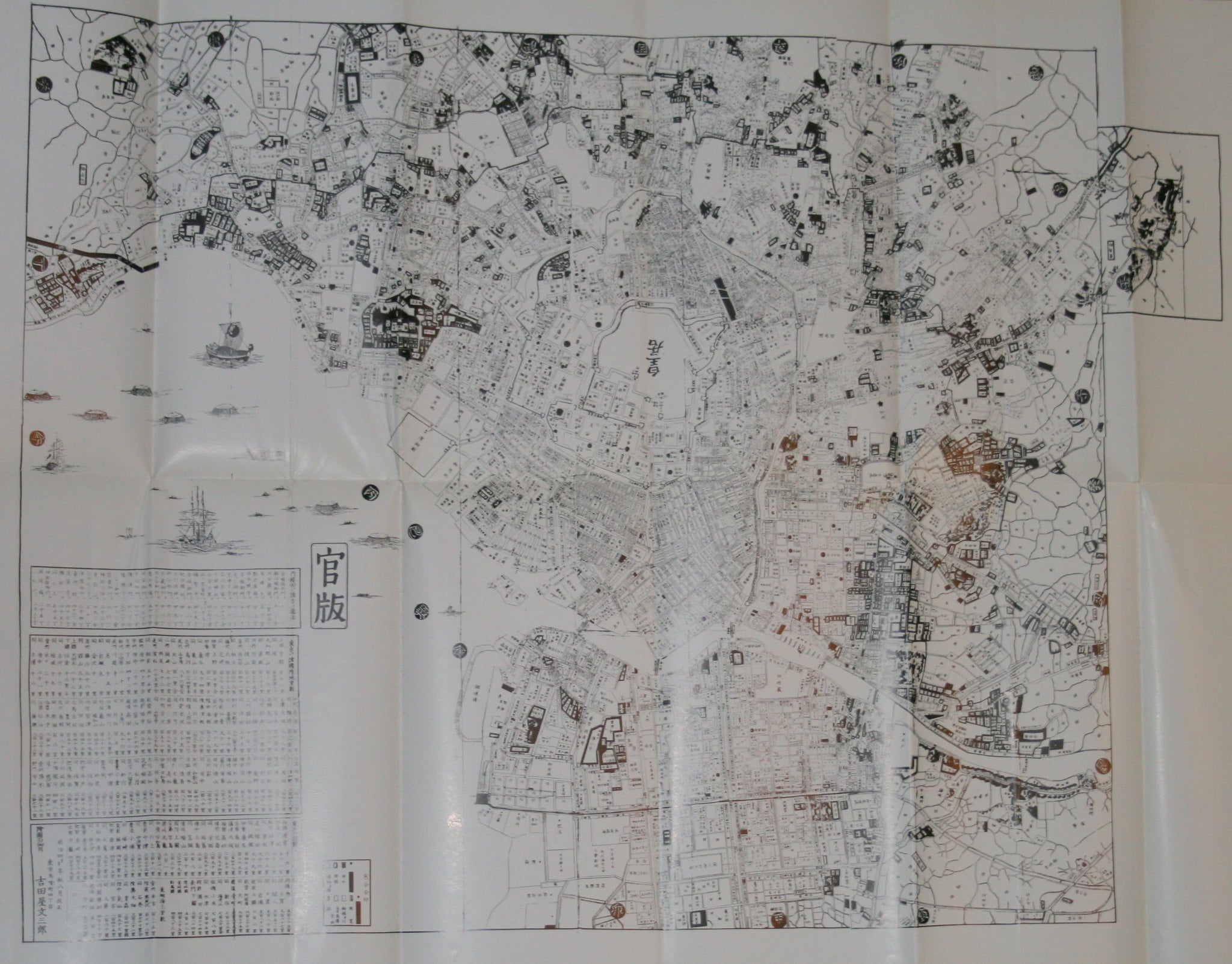
Japanese cartography during the Edo period (1603–1868) developed in deliberate isolation from Western conventions, producing maps with distinct visual languages that Western collectors increasingly seek out. Regional maps from this period — particularly those depicting Kyoto, Edo (Tokyo), or the Tokaido road between them — sell for $500 to $5,000 depending on age, condition, and the prominence of the depicted location.
Braun and Hogenberg’s Civitates Orbis Terrarum City Views (1572–1617)
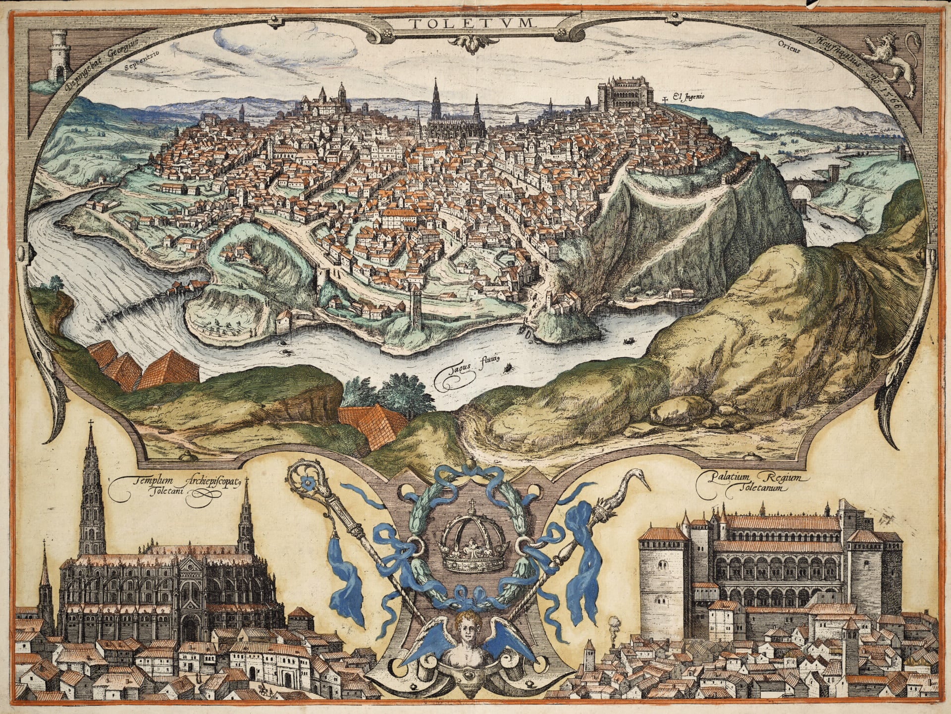
Georg Braun and Frans Hogenberg produced six volumes of city views between 1572 and 1617, depicting over 500 cities across Europe, Africa, and the Americas in bird’s-eye perspective. Individual plates from this atlas are among the most attainable genuine 16th-century printed works, with common European cities selling for $300 to $1,500 and rarer views of African or American cities reaching $3,000 to $8,000.
Ptolemy’s Cosmographia Maps (1477–1511 Editions)
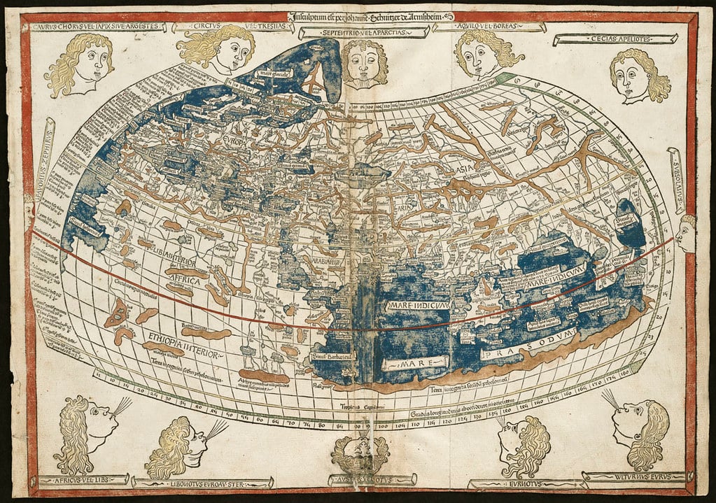
Early printed editions of Ptolemy’s ancient geography — the work that shaped European understanding of the world from antiquity through the Renaissance — are among the most expensive printed maps a collector can acquire. Complete early editions are valued at approximately $750,000, but individual map pages from later, damaged copies appear at auction for $2,000 to $20,000.
Finding one in a frame is essentially finding a 500-year-old page from the book that invented the idea of systematic world geography.
Gas Station Road Maps From Defunct Oil Companies

Standard Oil, Gulf, Esso, Conoco, and dozens of smaller regional companies gave away road maps as a petrol station courtesy from the 1920s through the 1970s. Maps still in original fold from companies that no longer exist — particularly maps of states during specific historical moments, like pre-interstate highway years — collect for $30 to $200.
They lack the prestige of the cartographic giants but represent an entirely different kind of historical document: the geography of everyday American mobility.
The Geography Behind the Value
What separates a map that sells for $50 from one that sells for $50,000 is rarely the quality of the printing and almost always the story behind the sheet. A Blaeu map commands its price because it documents the moment Amsterdam was the cartographic capital of the world.
An Ortelius map sells because it was the first standardised image millions of people had of continents they would never visit. The frame matters far less than what’s inside it — and what’s inside it matters far less than what it represents about how people once understood their place on earth.
If an inherited frame contains a map with a handwritten date before 1700, a cartouche identifying a major European publisher, or a vellum substrate rather than paper, the conversation with a specialist appraiser is not optional. It is the only sensible next step.
Maps have been sleeping in frames for centuries, and the ones that matter tend not to announce themselves.
More from Go2Tutors!

- The Romanov Crown Jewels and Their Tragic Fate
- 13 Historical Mysteries That Science Still Can’t Solve
- Famous Hoaxes That Fooled the World for Years
- 15 Child Stars with Tragic Adult Lives
- 16 Famous Jewelry Pieces in History
Like Go2Tutors’s content? Follow us on MSN.