27 Maps That Were Intentionally Drawn Wrong to Protect State Secrets
There’s a strange comfort in trusting a map. You assume the street is where it says it is, the river bends the way it’s drawn, the distance between two towns is the distance printed at the bottom corner.
For most of the twentieth century, in more countries than you’d expect, that trust was misplaced on purpose. Governments didn’t just classify secrets — they built the lie directly into the paper, so that anyone using an ordinary map was, without knowing it, navigating a version of the world that didn’t quite exist.
Moscow
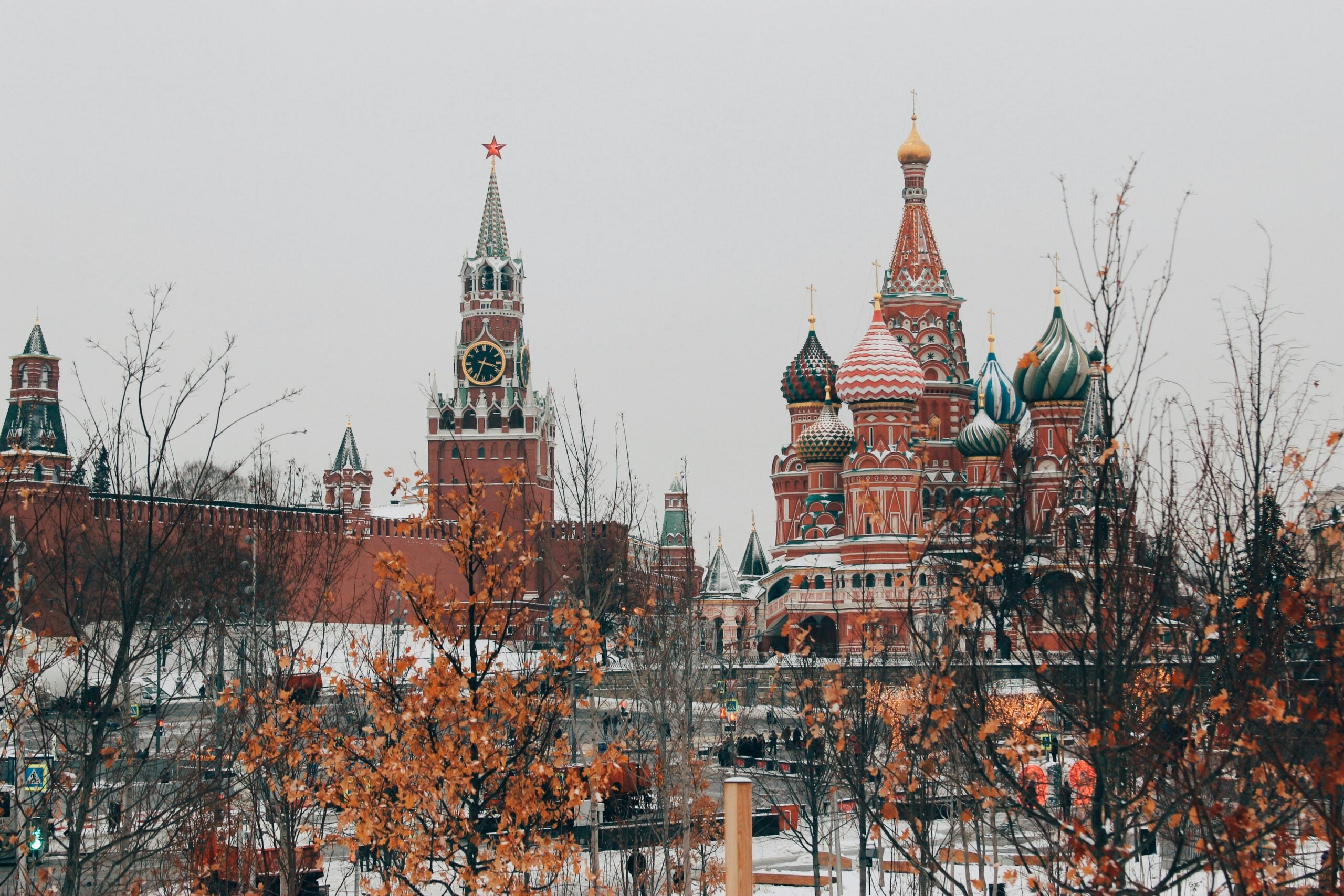
Soviet civilian maps of Moscow moved streets that didn’t need moving. Bridges appeared where there were none, rivers bent at angles that didn’t match the ground.
This wasn’t sloppy cartography — it was policy, enforced for decades by planners answering to state security.
Sverdlovsk-44
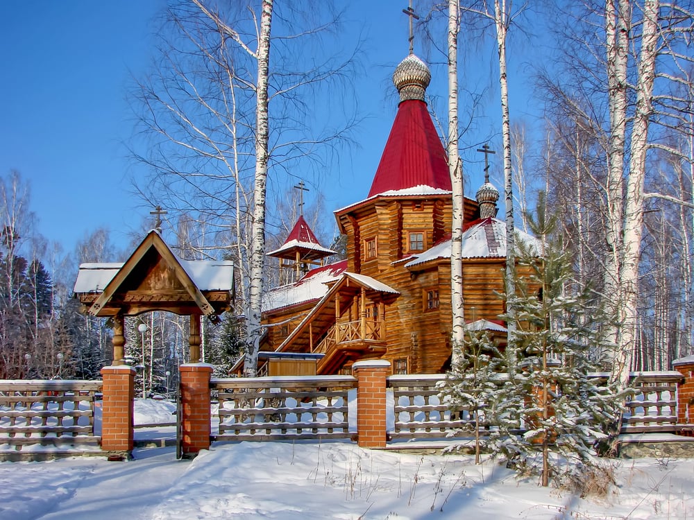
Some Soviet cities didn’t get distorted so much as erased entirely, which is a strange fate when you think about it — a place with streets and schoolchildren and grocery lines, simply absent from the record. Sverdlovsk-44, now called Novouralsk, existed for uranium enrichment and existed for nobody outside its fences, at least on paper: no dot, no name, no hint that a hundred thousand people went home there every night.
The population got folded into a neighboring city’s official count, so even the numbers lied. And once a place stops appearing on maps, it stops needing to be explained to anyone at all.
Area 51
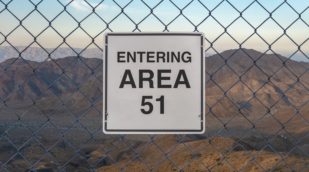
Groom Lake sat on official government topographic surveys as a blank rectangle, a patch of Nevada desert that the map simply declined to describe. It wasn’t hidden behind a mountain or hard to photograph from above — it was omitted the way a story omits an inconvenient detail, quietly and without apology.
The government didn’t publicly confirm the facility’s name until 2013, which meant the empty space on the map outlasted several presidencies.
China
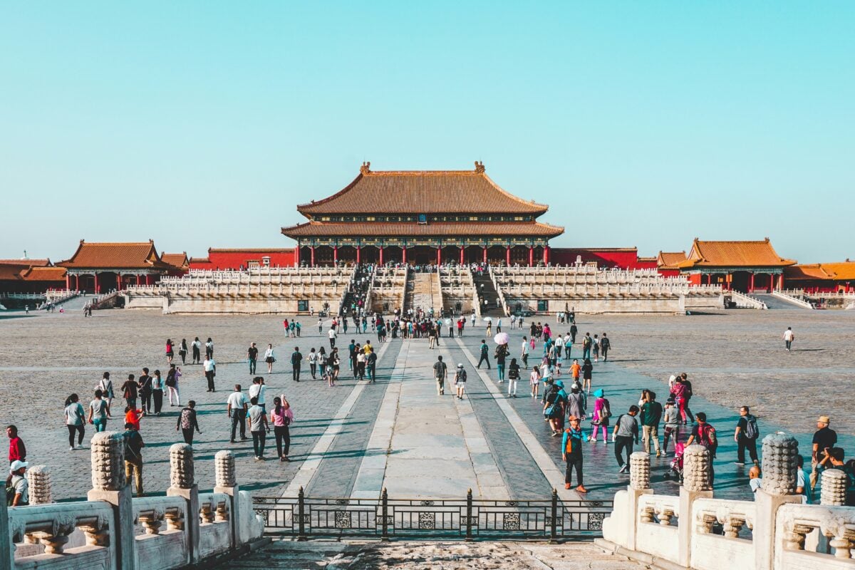
China’s mapping law treats an accurate street grid as a state secret, and it means exactly what it sounds like. Every legally sold map inside the country runs through a mandatory coordinate offset called GCJ-02, shifting locations by a few hundred feet so raw GPS data won’t line up cleanly.
Foreign visitors have been detained for carrying uncertified surveying equipment, which, to be fair, tells you how seriously the policy is taken.
Leningrad
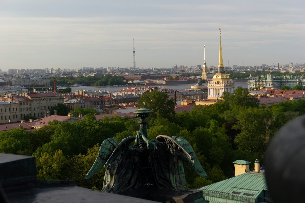
Leningrad’s public maps carried the same disease as Moscow’s. Bridges got nudged, blocks got compressed, military-adjacent buildings got quietly swapped for blank courtyards.
The Neva still flowed through the city — just not always where the paper claimed.
Sweden
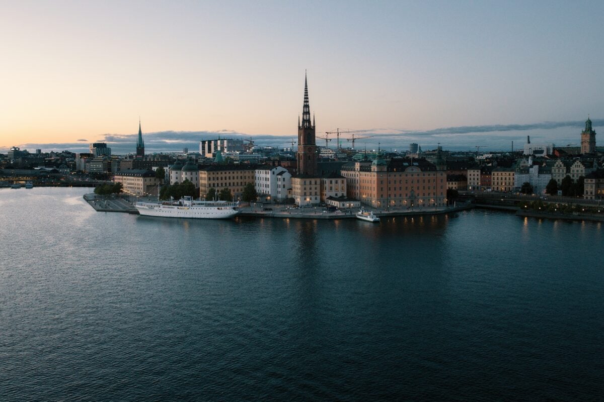
Sweden’s Cold War maps looked ordinary enough until you compared them against the actual coastline, at which point islands shifted position and roads near naval installations simply stopped existing where they should have started — a fact that only came out publicly once the archives opened in the 1990s, decades after the falsifications were first drawn up. It wasn’t a small operation either: entire stretches of the archipelago near sensitive bases got redrawn to send anyone using the map a few hundred yards in the wrong direction.
So a foreign agent working from a Swedish civilian map was, by design, working from fiction. And nobody thought to mention it until the secrecy no longer served a purpose.
Switzerland
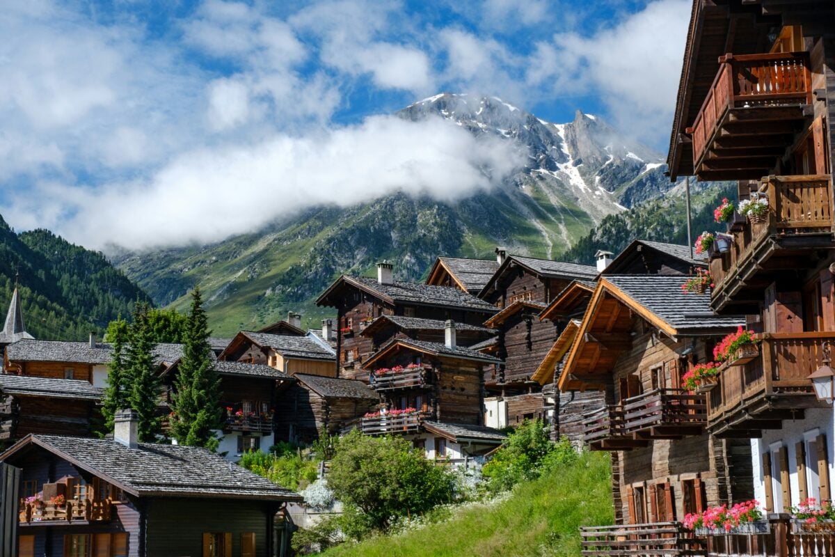
Switzerland’s mountains hide more than rock. Its Cold War-era National Redoubt tucked bunkers, fortresses, and ammunition stores behind fake barn doors and false rock faces, and official maps simply left the access roads off entirely.
A hiker studying an ordinary Swiss trail map had no way of knowing a garrison sat under the meadow beside them.
The Ural Mountains
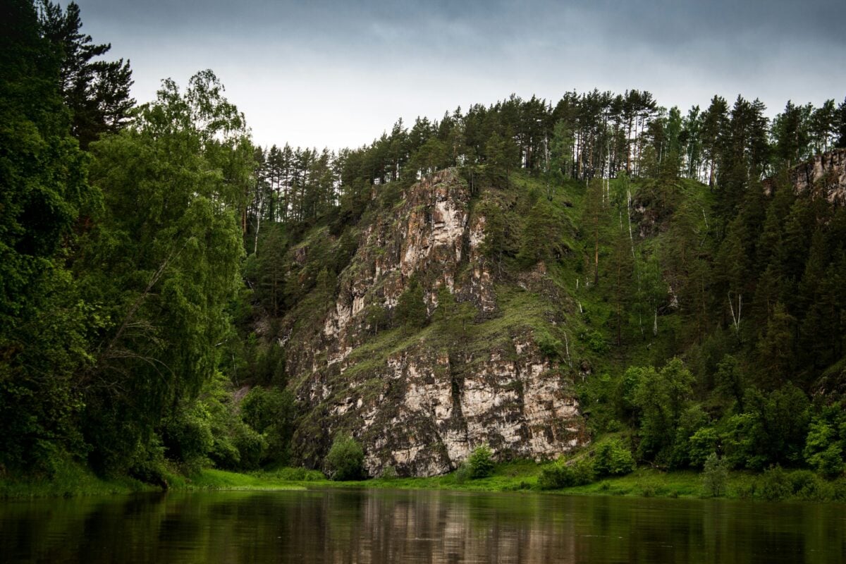
Resource-rich terrain draws attention, and the Soviet Union didn’t want anyone’s attention drawn to the Urals. Mining towns tied to uranium and weapons production got shifted on the map or dropped altogether, and peaks near sensitive facilities were occasionally relabeled or repositioned.
The region that fed the Soviet nuclear program looked, on paper, like an unremarkable stretch of forest and stone.
Pyongyang
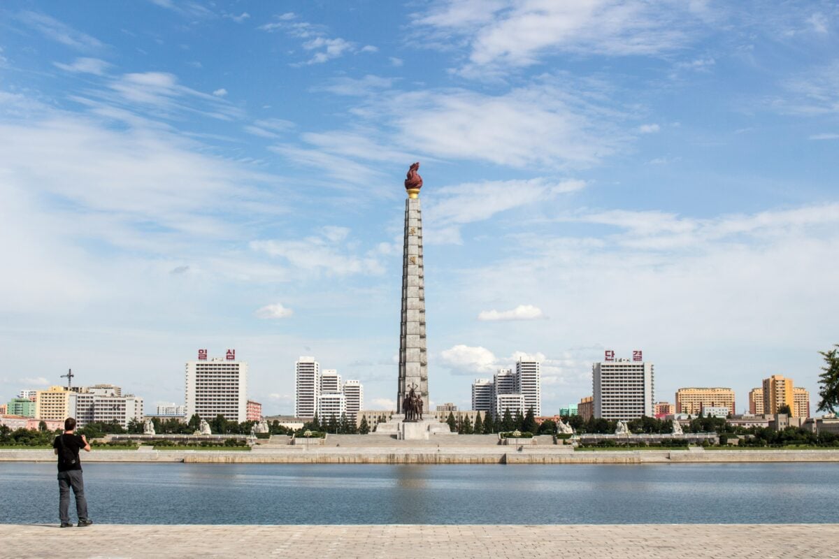
North Korea’s official maps of its own capital have long behaved like careful diplomats, saying just enough to be useful and nothing that could be used against the state. The Pyongyang Metro, reputedly among the deepest subway systems on earth and rumored to double as bomb shelters, appears on public maps with transfer points and depths that don’t match reality.
Visitors are handed a version of the city that flatters rather than informs, which is its own kind of quiet honesty about what the maps were built for.
Israel
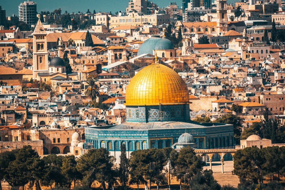
American law once decided, in plain legislative language, that Israel deserved to be blurry. The 1997 Kyl-Bingaman Amendment restricts US commercial satellite companies from selling high-resolution imagery of Israel and the Palestinian territories, capping the detail at whatever resolution is commercially available elsewhere.
It’s a rare case of a democracy legally mandating imprecision, written into federal code rather than smuggled into a map bureau’s back office.
Vladivostok
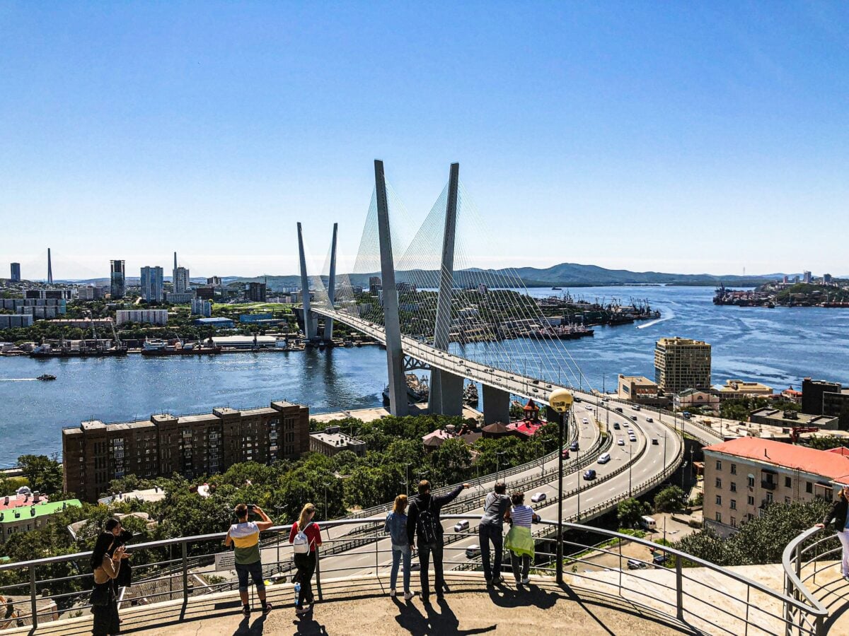
Vladivostok stayed closed to foreigners until 1992, and its maps closed right along with it. The harbor housing the Soviet Pacific Fleet showed up as an unremarkable civilian port, submarine pens and naval yards folded quietly into a blank shoreline.
A city built around a military secret got a map built around pretending there wasn’t one.
Britain
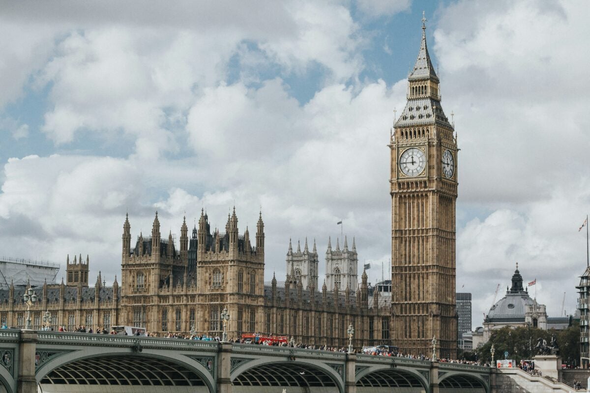
British Ordnance Survey maps have their own history of tidy omission, and calling it a coincidence gives the mapmakers too little credit. Sensitive government sites, including facilities tied to nuclear weapons research, have appeared on OS maps as unlabeled green space or simply vanished into the surrounding countryside.
It’s a subtler trick than the Soviet approach — nothing is technically wrong, it’s just conveniently incomplete — which is arguably the more British way to keep a secret.
Sevastopol
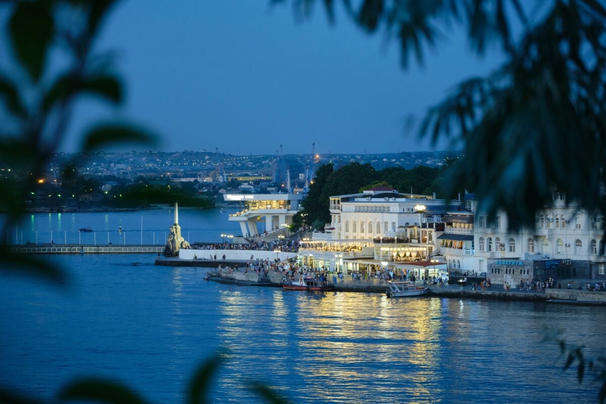
Sevastopol’s Black Sea coastline got the same treatment as Vladivostok’s harbor. Submarine pens and fleet facilities were smoothed into generic coastline on civilian charts.
The Soviet Navy’s presence there was one of the worst-kept secrets in the region, yet the official maps kept insisting otherwise.
Kashmir
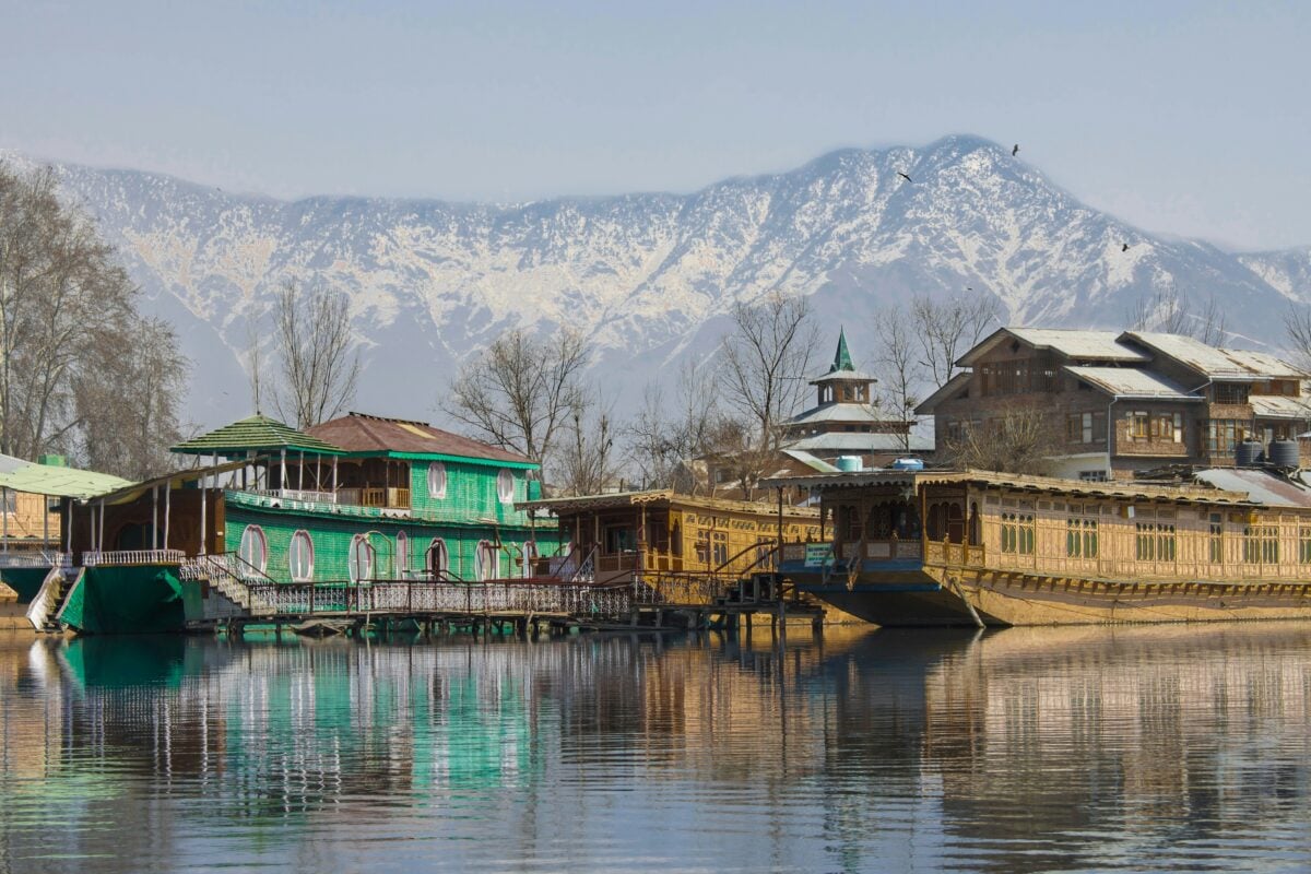
India’s Survey of India still requires government approval before anyone can publish detailed maps of border regions like Kashmir and Arunachal Pradesh, and this isn’t some relic left over from an earlier decade — its current policy, actively enforced, tangled up with ongoing territorial disputes with Pakistan and China. Satellite imagery of these zones gets restricted well past what’s available for the rest of the country, and mapmakers who ignore the rule risk real legal consequences.
So the border on your average world atlas and the border India is willing to show in fine detail are, quite often, two different lines. It’s less about hiding a secret than refusing to hand an adversary a free planning tool.
Chelyabinsk-40
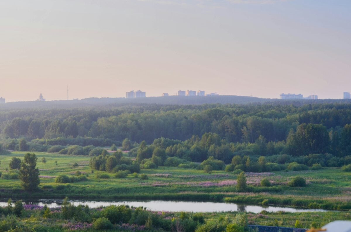
Ozyorsk sat at the center of Soviet plutonium production and sat nowhere at all on Soviet maps. The Mayak facility inside it produced the material for the country’s first nuclear weapons, and it also produced, in 1957, one of the worst nuclear disasters in history — kept secret from the world for over thirty years.
A city that large simply didn’t exist on paper, which made the silence around the disaster that much easier to keep.
Soviet City Grids
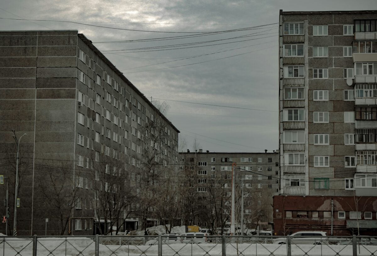
Soviet cartographic deception wasn’t a handful of sensitive sites getting special treatment — it was standard practice for practically every civilian map the state produced. Ordinary people navigated distorted versions of their own hometowns for generations without ever being told.
That’s not a minor cover-up. That’s one of the largest sustained disinformation campaigns of the twentieth century, and it ran through something as mundane as a folded paper street map.
East Germany
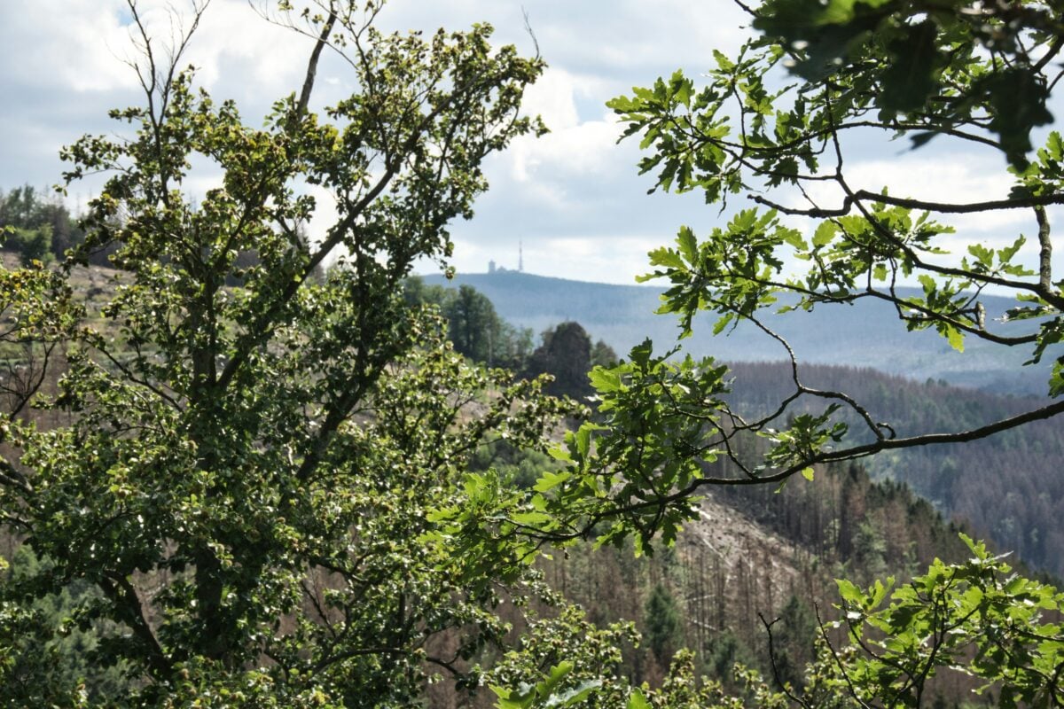
East German maps near the inner German border turned watchtowers and minefields into forest. The border strip, one of the most heavily surveilled stretches of land in Europe, got compressed and softened on paper into something that looked almost peaceful.
Scale itself became a tool of concealment.
Arzamas-16
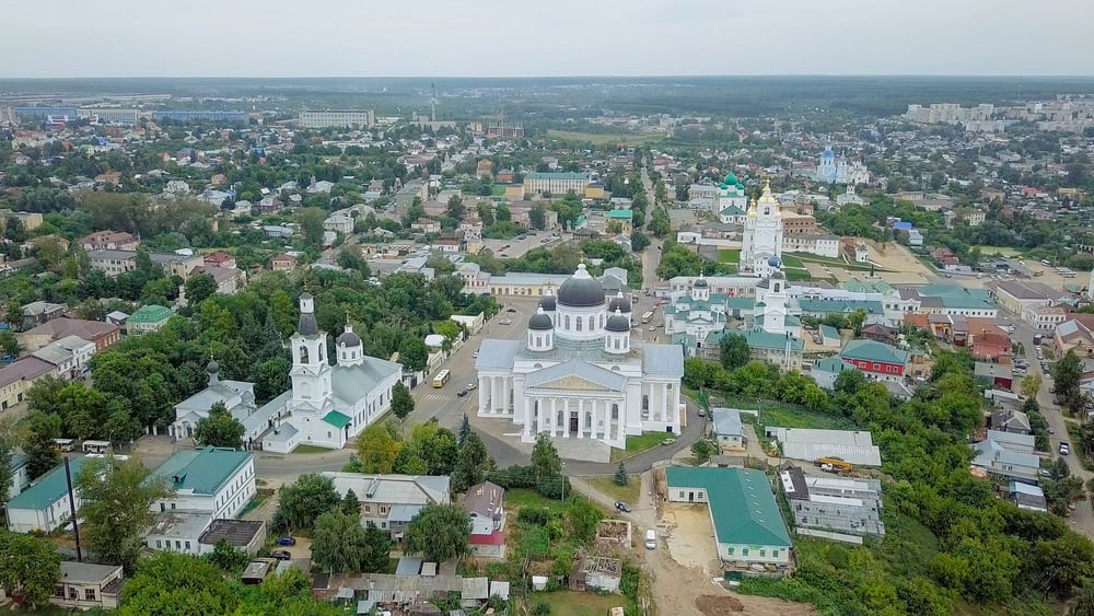
Sarov’s Soviet-era code name was Arzamas-16, and its residents received mail addressed to a post office box in Moscow rather than to the actual city they lived in — a detail that sounds almost too tidy to be true, except that it is, because the entire settlement existed to design Soviet nuclear weapons and therefore couldn’t be allowed to officially exist at all. No road signs pointed toward it.
No map acknowledged it. And the scientists inside knew, better than anyone, exactly what that silence was protecting.
The Soviet Geodetic Grid
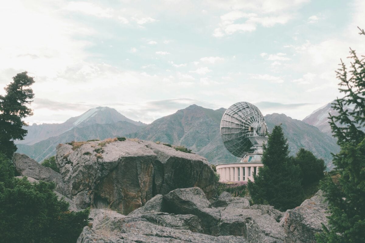
Soviet coordinate systems carried a hidden offset baked into the mathematics itself, shifting locations by hundreds of feet from their true geodetic position across the entire country. Even a technically accurate-looking map wouldn’t align correctly without a correction key held exclusively by the military.
It meant an outside power could steal a Soviet map wholesale and still end up navigating the wrong patch of ground.
Wartime America
Wartime secrecy wasn’t only a Soviet habit. American coastal charts during World War II sometimes left out newly built defense installations or altered the depiction of shipyards and naval bases, on the theory that a captured map shouldn’t hand an enemy a free reconnaissance photo. It’s a smaller, quieter version of the same instinct — deny the enemy accuracy, even if it means denying your own citizens the same thing.
Novaya Zemlya
Novaya Zemlya sits in the Arctic like an afterthought on most civilian atlases, sparse and underdetailed, which is exactly how the Soviet Union wanted it treated. The archipelago hosted the largest nuclear test site in history, including the detonation of the Tsar Bomba in 1961.
A blank, unremarkable coastline was doing a great deal of quiet work.
France
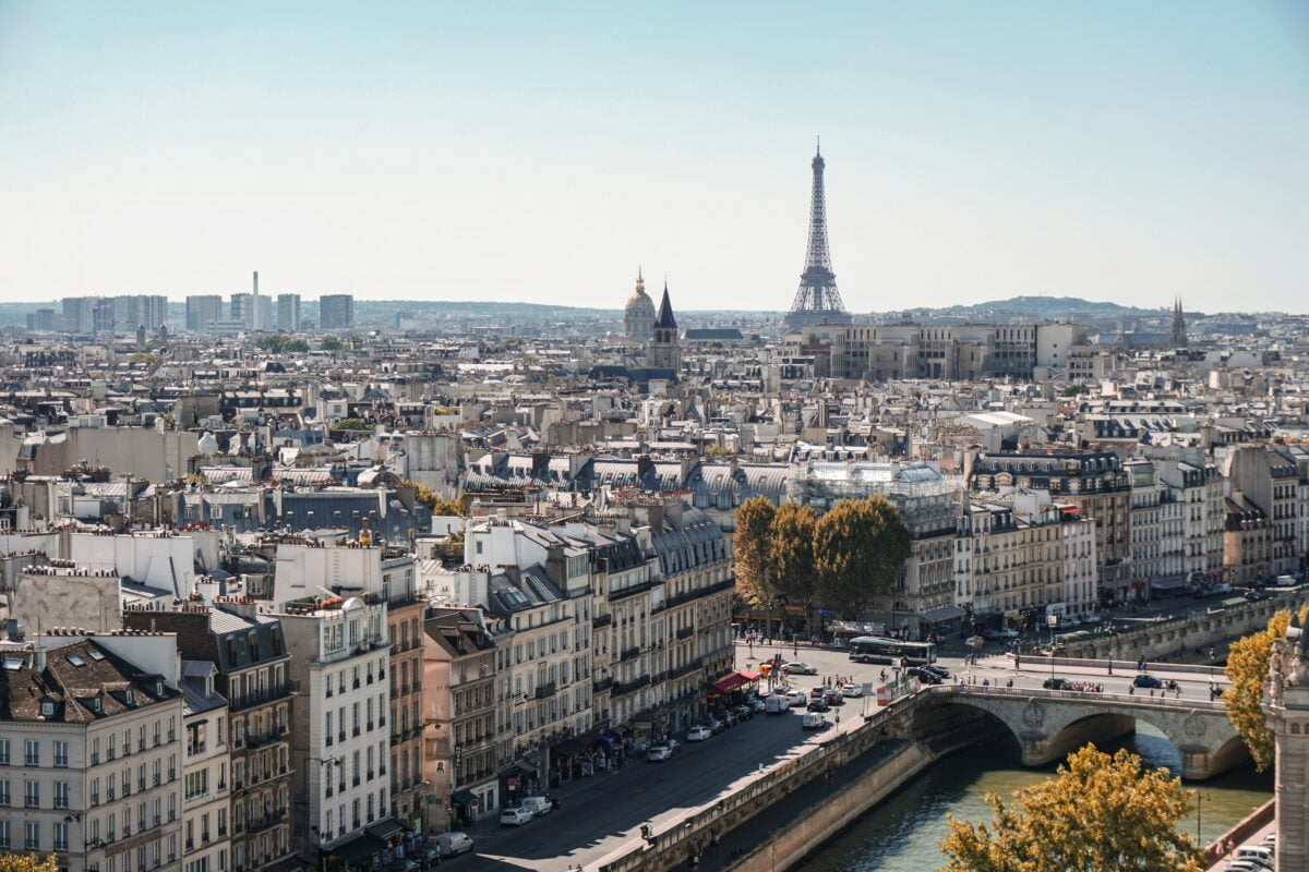
France restricted detailed mapping around sensitive military and nuclear sites for decades, with the national mapping agency IGN applying deliberate blurring or omission near facilities like the former nuclear missile installations on the Plateau d’Albion. Photography and precise surveying near these zones carried real legal restrictions, not just polite discouragement.
The country that produced some of Europe’s most detailed civilian cartography also knew exactly where to stop being detailed.
Taiwan
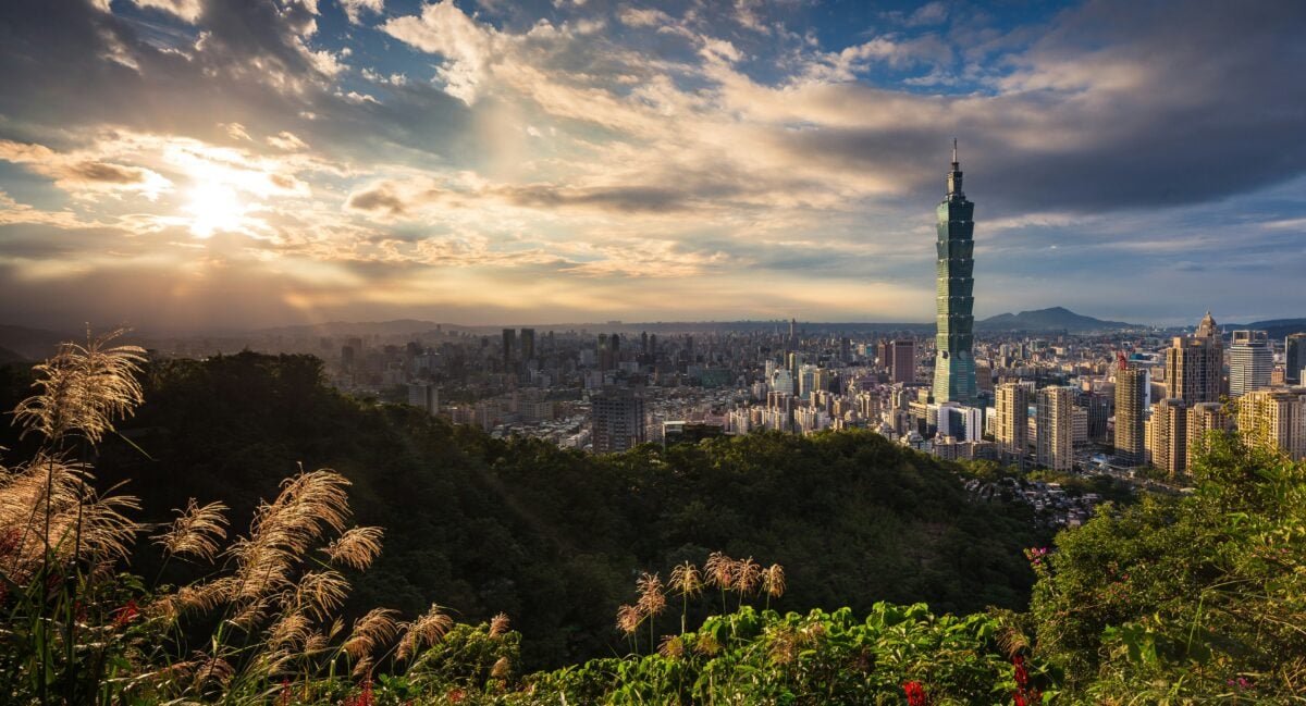
Taiwan’s Cold War-era maps softened its own coastal defenses facing mainland China, turning gun emplacements and fortified positions into unremarkable shorelines. An island bracing for possible invasion had every reason to keep its defensive posture off the shelf at the local bookstore.
The map you could buy and the island that actually existed were, once again, two separate documents.
Soviet Tourist Maps
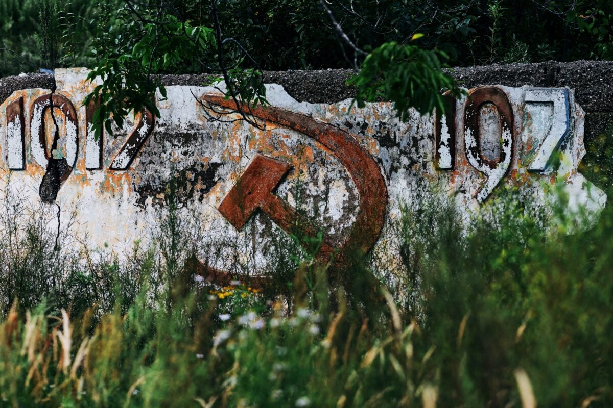
Handing a foreign visitor an accurate map of a Soviet city would have defeated the entire point of the exercise, so nobody did. Intourist maps distributed to Western tourists distorted street layouts specifically enough that comparing notes with reality became difficult, if not useless.
A tourist wandering Moscow with an official map wasn’t lost by accident — they were lost by design, and the design worked well enough that most never noticed.
Soviet Naval Bases
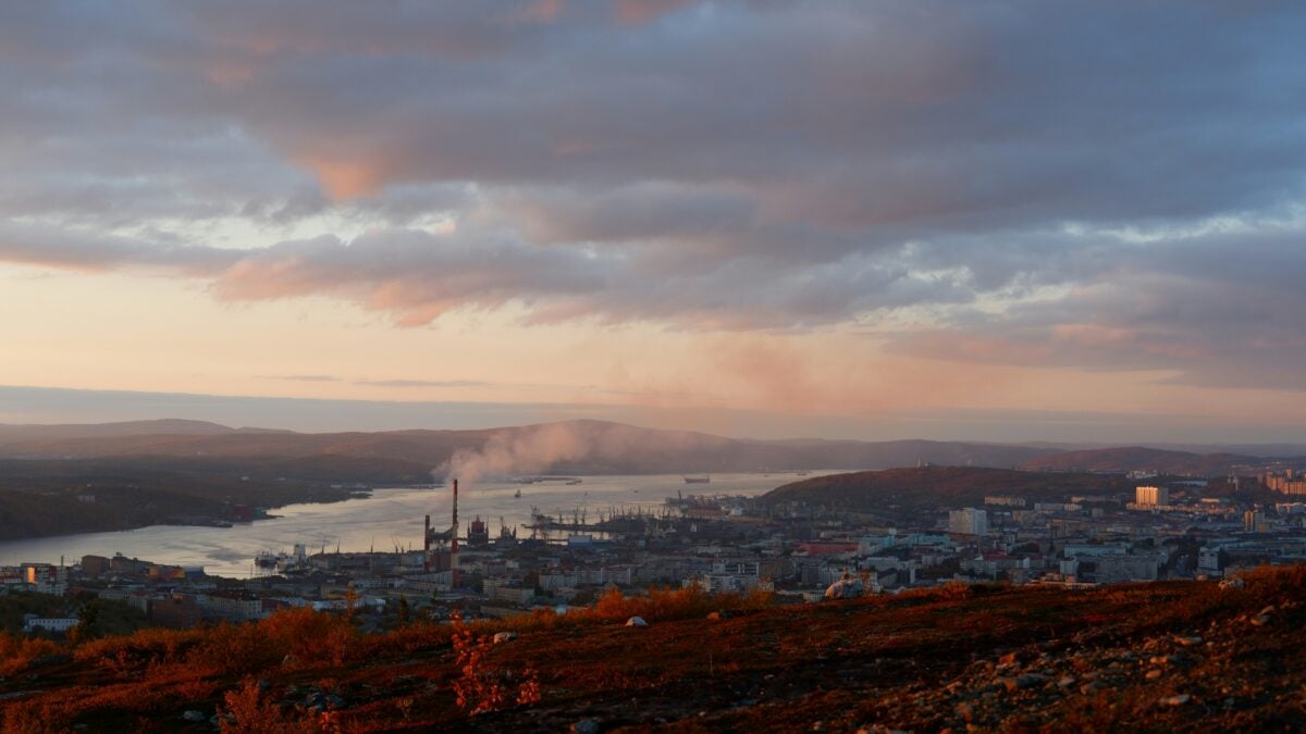
Murmansk and Severomorsk anchored the Soviet Northern Fleet, and their submarine pens were treated on official maps as though they simply weren’t there. Atlases sold both domestically and abroad declined to acknowledge installations that satellite photography had already confirmed existed.
Denial, once committed to print, apparently didn’t require consistency with the rest of the visible world.
Japan
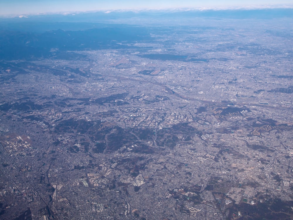
Postwar Japan restricted detailed mapping around American military installations like Yokota and various bases on Okinawa, with the Geospatial Information Authority limiting resolution near sites tied to the ongoing US defense presence. It’s a quieter, bureaucratic version of the same old habit — not lying outright, just declining to say too much.
Sixty years on, some of those restrictions are still technically in place.
Google Earth
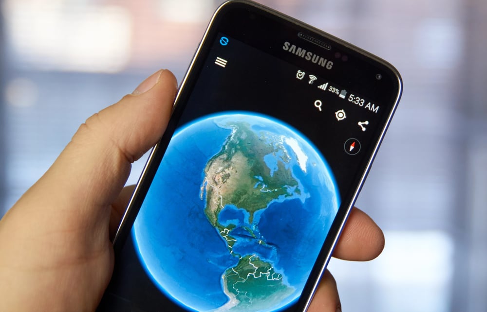
The habit of pretending something isn’t there didn’t retire with the Cold War, it just changed software. Certain governments still require companies like Google to blur or obscure specific coordinates — nuclear facilities in France, military installations in several countries — continuing a practice that’s centuries old dressed up in satellite resolution instead of ink.
So the next time a patch of ground looks suspiciously smudged on a map app, that’s not a glitch. That’s a government, quietly doing what governments have always done.
The Lines We Agreed to Believe
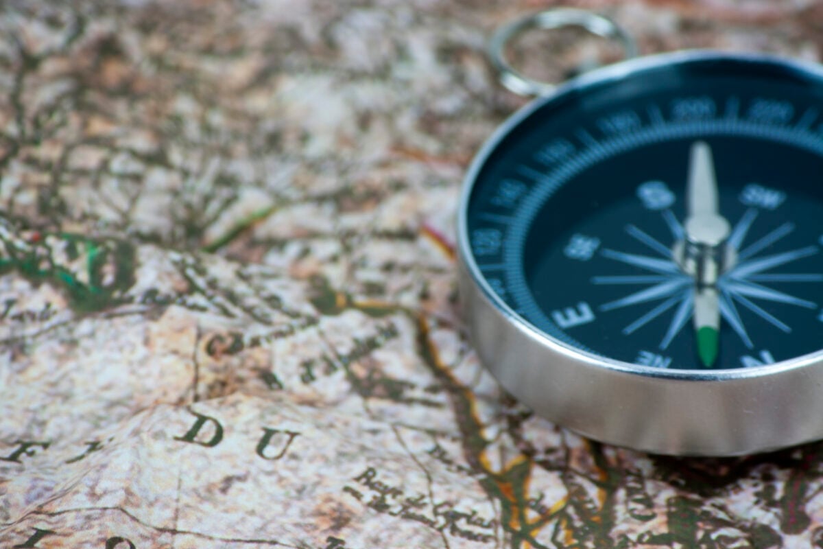
Maps have always made a promise they don’t fully keep: that the world holds still long enough to be drawn accurately, and that whoever drew it had no reason to lie. For most of the last century, plenty of governments had exactly that reason, and they took it.
What’s left behind isn’t just a curiosity about old paper — it’s a reminder that the ground under a map is never quite as settled as the ink makes it look, and that somewhere, right now, a blank space on a map is doing precisely the job it was drawn to do.
More from Go2Tutors!

- The Romanov Crown Jewels and Their Tragic Fate
- 13 Historical Mysteries That Science Still Can’t Solve
- Famous Hoaxes That Fooled the World for Years
- 15 Child Stars with Tragic Adult Lives
- 16 Famous Jewelry Pieces in History
Like Go2Tutors’s content? Follow us on MSN.