30 Sunken Cities and Ruins Found Underwater
Cities are supposed to be permanent, yet the sea, earthquakes, and dam builders have a long record of proving otherwise. Across the globe, entire harbors, temples, villages, and prehistoric settlements now sit under fathoms of water or beneath reservoirs that swallowed them in a single season.
Some were found by divers with sonar and patience, others by fishing nets, aerial photos, or a drought that dropped a lake level just far enough. Each one is a frozen moment, a place that was busy and lived in until the water arrived.
Thonis-Heracleion, Egypt
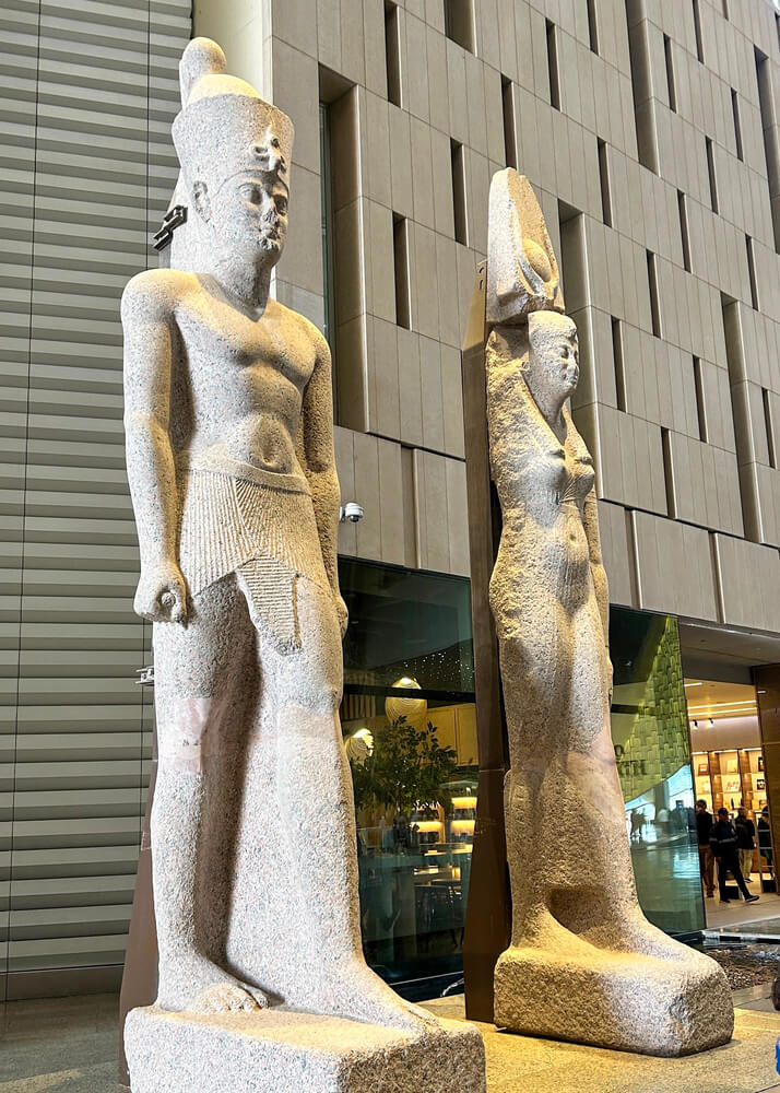
For centuries this Nile Delta port existed mainly in the writings of Herodotus, until marine archaeologist Franck Goddio’s team located it in Aboukir Bay in 2000. The Egyptians called the city Thonis and the Greeks called it Heracleion, and a black granite stele of Pharaoh Nectanebo I, found in 2001, confirmed they were the same place.
Divers have since mapped temple foundations, giant statues, and dozens of ancient shipwrecks resting in the silt. The city slid beneath the water over time as the unstable delta soil gave way.
Pavlopetri, Greece
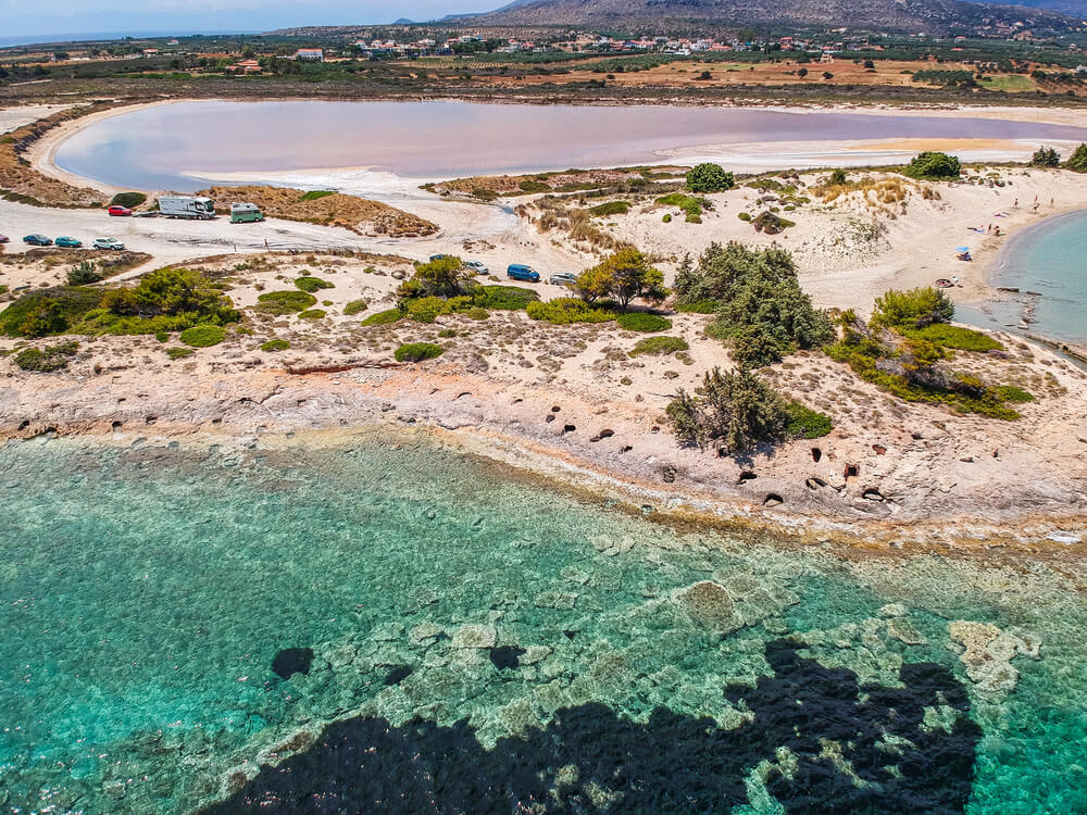
Off the southern coast of Laconia, a few feet below the surface, lies a Bronze Age town that researchers often describe as the oldest known submerged city plan. British scientist Nicholas Flemming first spotted it in 1967, and a joint University of Southampton and University of Nottingham survey in 2009 mapped streets, courtyards, and rock-cut tombs in detail.
The settlement is thought to be around 5,000 years old, which puts it far earlier than the classical Greek world. The water is so shallow and clear that snorkelers can look down on the outlines of ancient rooms.
Port Royal, Jamaica
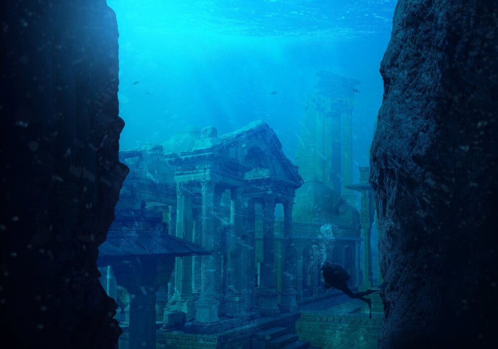
Port Royal was a rowdy Caribbean harbor town, famous as a base for privateers, until an earthquake struck on June 7, 1692. Much of the city, estimated at about two thirds, slid into the harbor within minutes as the sandy ground liquefied.
Divers later recovered everyday objects from the mud, including a pocket watch that had stopped at 11:43, the time often given for the disaster. The preserved streets and buildings have earned it a reputation as a Caribbean Pompeii.
Baiae, Italy
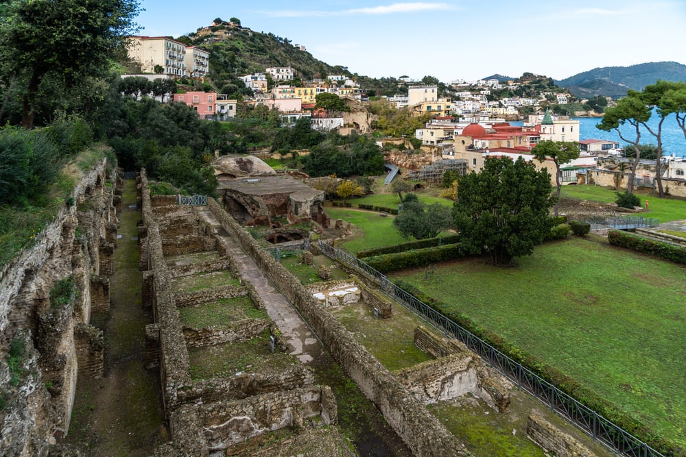
Wealthy Romans escaped to Baiae on the Bay of Naples for hot springs, lavish villas, and a reputation for scandalous parties. Slow volcanic ground movement in the Campi Flegrei region has lowered the shoreline, so mosaic floors, columns, and a nymphaeum linked to Emperor Claudius now lie underwater.
The area was designated an underwater archaeological park in 2002, and guided dives let visitors swim above marble statues and former bedrooms of the empire’s elite.
Dwarka, India
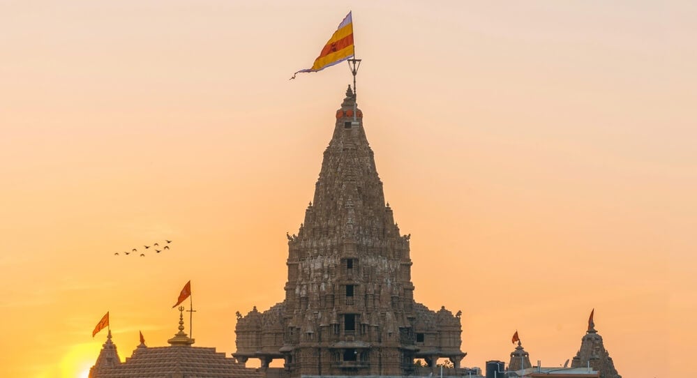
According to Hindu tradition, Dwarka was the kingdom of Krishna, and the legend says the sea swallowed it after his death. Marine archaeologists from India’s National Institute of Oceanography have surveyed the waters off the Gujarat coast since the 1980s, reporting stone blocks, walls, and anchors on the seabed. How old these structures are, and whether they belong to the legendary city, remains debated among researchers.
The modern town of Dwarka still draws pilgrims who treat the site as one of the holiest in the country.
Shicheng, China
Known as the Lion City, Shicheng was a county seat in Zhejiang Province with roots in the Eastern Han dynasty. In 1959, the creation of Qiandao Lake for a hydroelectric project flooded the valley and resettled hundreds of thousands of people.
Divers who explored the city in 2001 found it remarkably intact, with stone archways, carved lions, and wooden beams still standing beneath the cold, dark water.
The depth and low light helped preserve details that would have rotted away on land.
Yonaguni Monument, Japan
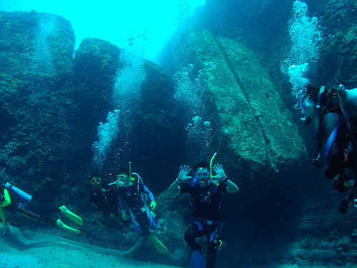
Off the southern tip of Yonaguni Island, divers discovered in 1986 a massive stepped rock formation that looks like terraces, platforms, and a pyramid. Marine geologist Masaaki Kimura has argued for years that people carved it, possibly more than 5,000 years ago.
Many other geologists contend that the sandstone simply fractures along natural flat planes, creating the look of masonry without any human help. The debate is unsettled, and the site remains one of the most photographed and argued-about formations in the sea.
Atlit Yam, Israel
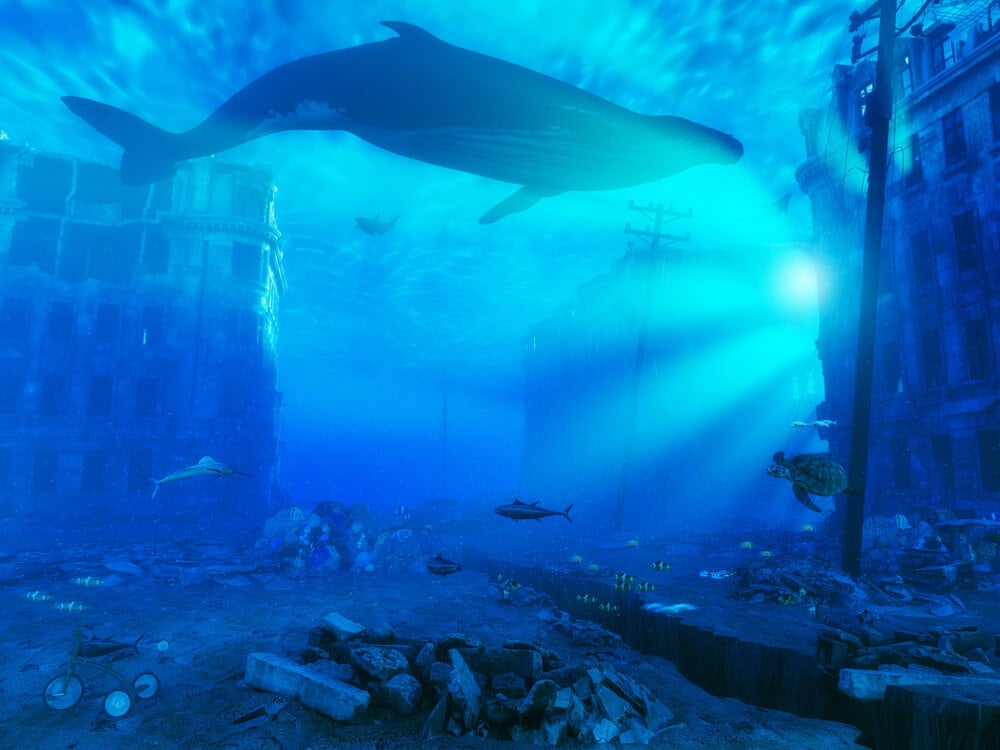
A few hundred yards off the Carmel coast, researchers led by Ehud Galili uncovered a Neolithic village roughly 9,000 years old, submerged as sea levels rose after the last ice age. The settlement included stone houses, a circle of standing stones around a freshwater spring, and a stone-lined well.
Burials, animal pens, and evidence of fishing and farming show a community that had already settled into village life. The sand that covered the village preserved wood and organic remains that rarely survive for that long.
Olous, Crete
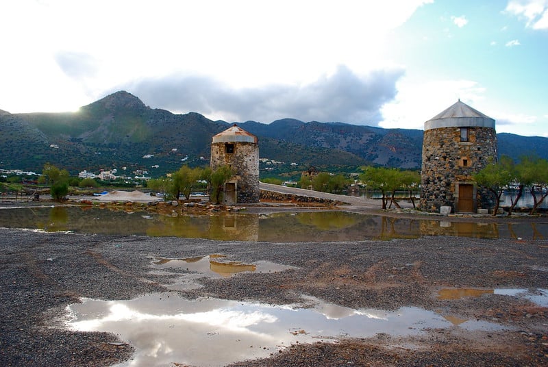
Near the modern resort town of Elounda, the ancient city of Olous sank when an earthquake dropped a narrow strip of land into the sea. Walls, building foundations, and a mosaic floor can be seen in the shallows, and the site is associated with the Cretan goddess Britomartis.
Snorkelers and kayakers can drift over the outlines of streets, while the nearby causeway across the former isthmus is a reminder of how the landscape shifted. The ruins are protected, so the best approach is to look and not touch.
Kekova and Dolichiste, Turkey
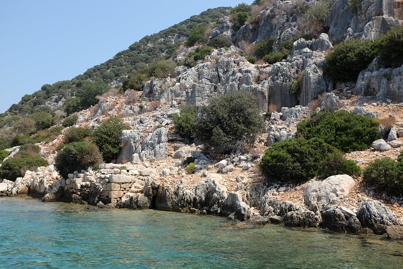
On the Lycian coast, an earthquake in the second century AD pushed much of the ancient settlement of Dolichiste below the surface off Kekova Island. Staircases, house foundations, and a harbor wall remain visible from a boat, and a Lycian sarcophagus partly sits in the water near the village of Kaleköy, the ancient Simena.
Swimming and diving over the ruins are restricted to protect them, so most visitors glide across in small boats or sea kayaks. The clear Mediterranean water makes the walls easy to see from above.
Villa Epecuén, Argentina
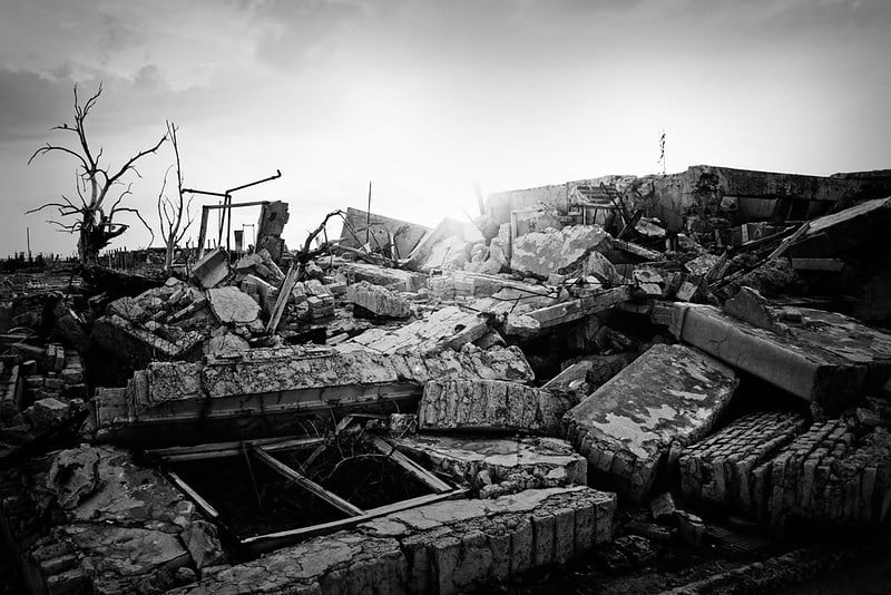
Villa Epecuén was a popular lake resort in Buenos Aires Province, known for the salty waters of Lago Epecuén that were said to ease aches. In November 1985, a dike failed after heavy rains and the town slowly filled with salt water that eventually stood about 33 feet deep.
The lake stayed above the streets for around 25 years before drying out, leaving a gray landscape of crumbled buildings and dead trees crusted in salt. One former resident, Pablo Novak, returned to live among the ruins.
Old Petrolândia, Brazil
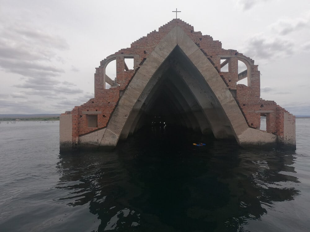
When the Itaparica dam filled its reservoir on the São Francisco River in the late 1980s, the old town of Petrolândia in Pernambuco was submerged, and residents moved to a new town built on higher ground. The older settlement, including its church, now lies beneath the lake, giving the region a nickname as a kind of Brazilian Atlantis.
The story is a familiar one in Brazil, where hydroelectric projects relocated thousands of families. Boat operators on the reservoir still tell visitors about the drowned streets below.
Curon Venosta and Graun, Italy
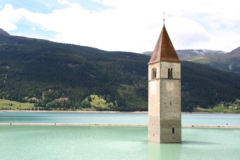
The belfry of a 14th-century church rises out of Lake Reschen in South Tyrol, one of the most photographed sights in the Alps. The lake was created in 1950 to generate power, and the villages of Graun and part of Reschen disappeared under the water, along with roughly 160 homes.
The residents were relocated, and the bell was removed before the flood. In deep winter the lake freezes, and people can walk across the ice to the tower.
Doggerland, North Sea
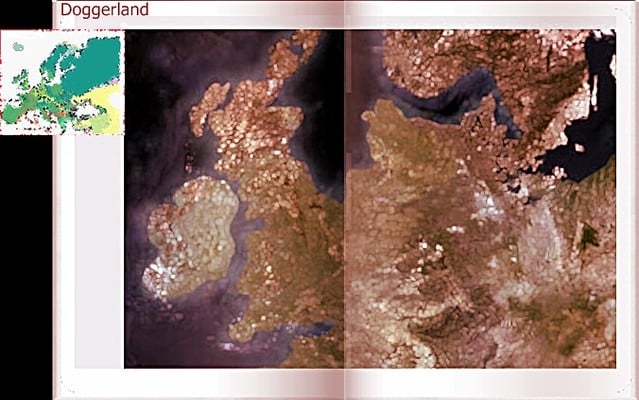
Before about 8,000 years ago, a vast stretch of land connected Britain to the European continent, and hunter-gatherers roamed marshes where the North Sea now sits. Rising seas, and later a tsunami from the Storegga Slide off Norway, gradually flooded it.
In 1931, the trawler Colinda hauled up a barbed antler point from the seabed, an early clue that people once lived there. Since then, trawlers and researchers have recovered tools and bones from the lost landscape.
Phanagoria, Russia
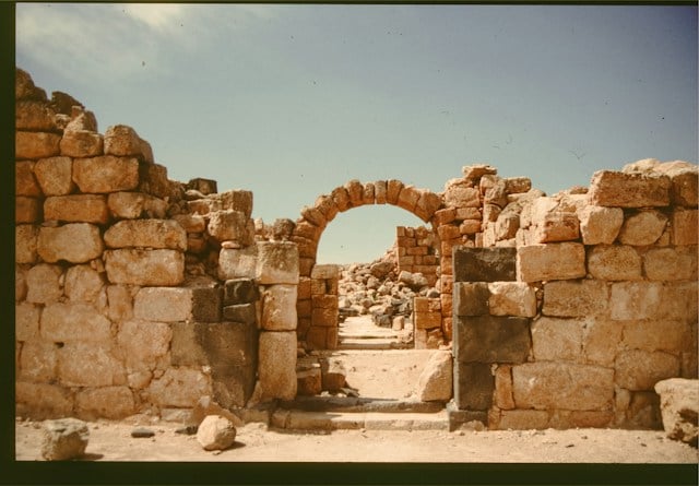
Greek colonists from Teos founded Phanagoria in the sixth century BC on the Taman Peninsula, and it became the principal city of the Asian side of the Bosporan Kingdom. Rising water levels in the Taman Bay have submerged part of the city, including sections of the waterfront and ancient harbor.
Archaeologists have excavated both on land and underwater, finding walls, amphorae, and large building remains. The site is often compared to Pompeii for the depth and range of its remains.
Neapolis, Tunisia
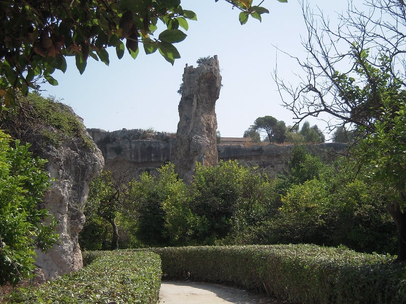
Italian and Tunisian researchers announced in 2017 that they had found the submerged remains of the Roman city of Neapolis off the coast of Nabeul. Streets, monuments, and a large number of tanks used for making garum, a prized fermented fish sauce, lie under the water.
The city is believed to have been destroyed by a tsunami linked to the earthquake that struck the eastern Mediterranean in 365 AD. The discovery showed how important the industrial waterfront was to the Roman economy in North Africa.
Dunwich, England
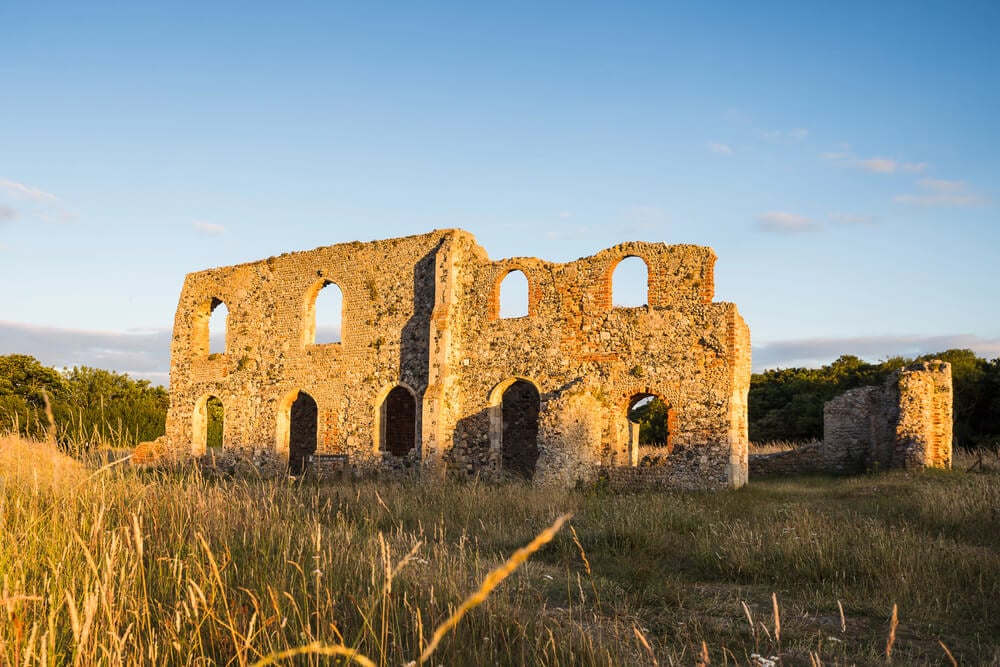
Dunwich in Suffolk was one of the leading ports of medieval England, with churches, monasteries, and a busy harbor. A series of violent storms in the 13th and 14th centuries ate away at the coast and buried its main harbor in shingle.
Church after church toppled over the eroding cliffs, and the tower of All Saints fell into the sea in 1919. The village now has just a few hundred residents, and legend says church bells ring beneath the waves before a storm.
St. Thomas, Nevada
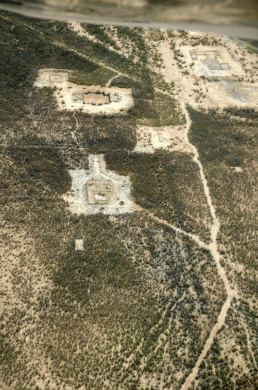
The Mormon farming town of St. Thomas was founded in the 1860s along the Muddy River, and its last resident left in 1938 as Lake Mead began to fill behind the Hoover Dam. Water covered its homes, a school, and a small post office for decades.
When drought lowered the lake, the foundations, steps, and a few walls reemerged, and visitors can now hike across the cracked ground where main street once ran. The ruins may vanish again whenever the reservoir rises.
Mahabalipuram, India
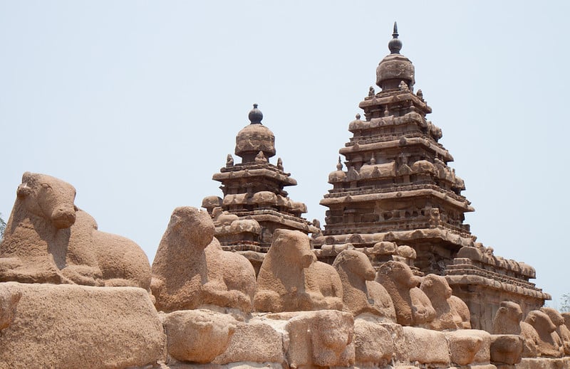
The Pallava port of Mahabalipuram on the Tamil Nadu coast is famous for its 8th-century Shore Temple, but local legend claimed a grander city lay beneath the waves, with seven pagodas of which only one survived. When the 2004 Indian Ocean tsunami pulled the water back from the beach, a few carved stone structures were briefly exposed.
Archaeologists from the Archaeological Survey of India and other groups have since looked for submerged remains offshore. The site shows how a traveler’s tale can point researchers toward real evidence.
Cleopatra’s Quarter in Alexandria, Egypt
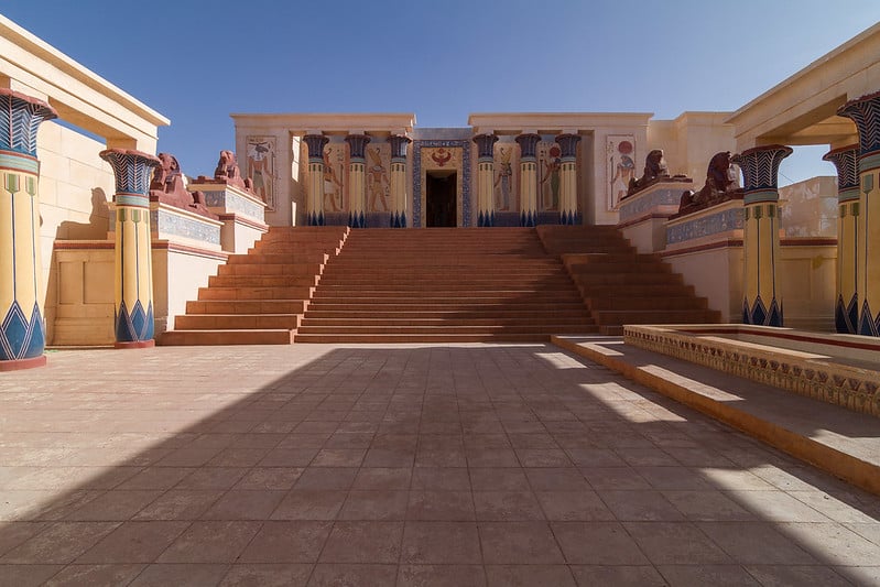
In the Eastern Harbor of Alexandria, Franck Goddio’s team mapped a drowned royal district in the 1990s, including the island of Antirhodos, a pier, and the foundations of buildings that may have been part of the Ptolemaic palace complex linked to Cleopatra VII. Columns, statues, and paving stones lie under shallow water, scattered by earthquakes and tsunamis over the centuries.
Nearby, divers have also documented pieces of the legendary Pharos lighthouse. The ruins give a glimpse of the city where Julius Caesar and Mark Antony once courted its queen.
Helike, Greece
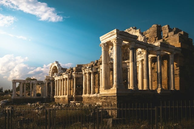
Helike was a thriving Achaean city on the Gulf of Corinth until a catastrophic earthquake and tidal wave destroyed it in the winter of 373 BC. Ancient writers described the city vanishing under the sea overnight, and later visitors reportedly claimed they could see a bronze statue of Poseidon beneath the water.
Modern archaeologists led by Dora Katsonopoulou located remains buried in the coastal plain, covered in layers of sediment rather than a clear lagoon. The search for the city helped create a modern research program known as the Helike Project.
Apollonia, Libya
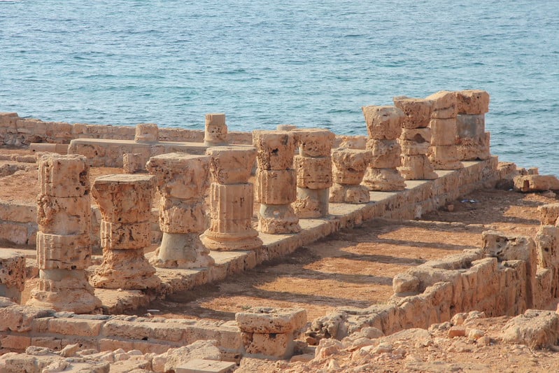
Apollonia served as the harbor for the nearby Greek city of Cyrene, and later grew into a city with its own churches and public buildings. Earthquakes and gradual land movement lowered the coast, and part of the old harbor, with its warehouses and quays, slipped beneath the Mediterranean.
British researchers led by Nicholas Flemming surveyed the underwater remains in the late 1950s. Visitors can still see a Byzantine-era church and walls along the shoreline, with other parts of the town beneath the surf.
Aperlae, Turkey
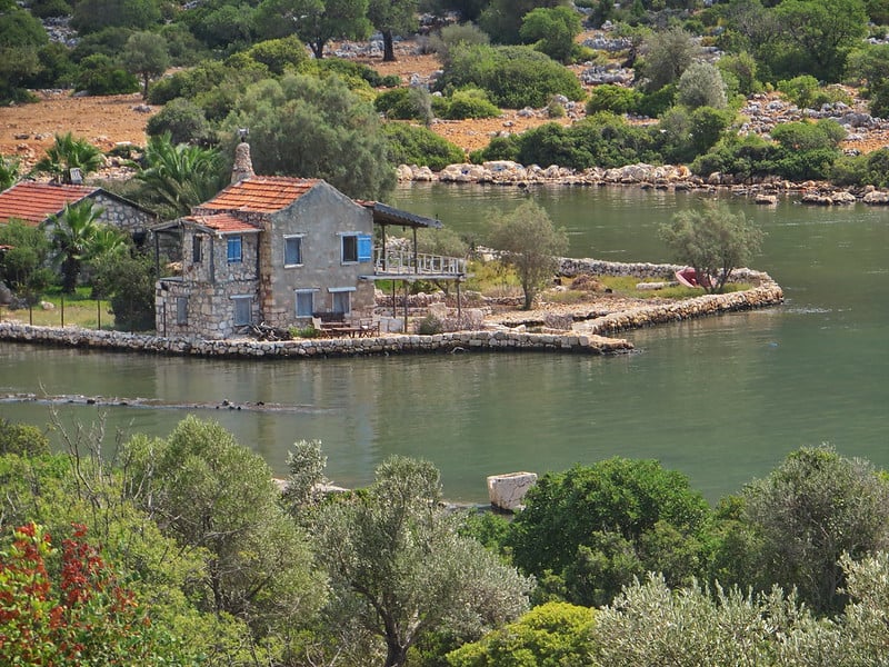
On the Lycian coast near Kaş, the ancient port of Aperlae has a harbor wall and building foundations that now sit partly submerged in the bay. The city was known in antiquity for producing purple dye from murex sea snails.
A mix of tectonic movement and rising seas lowered the coastline, so part of the waterfront now lies under shallow water. A long-running archaeological survey has examined the site on land and under the surface.
Lake Iznik Basilica, Turkey
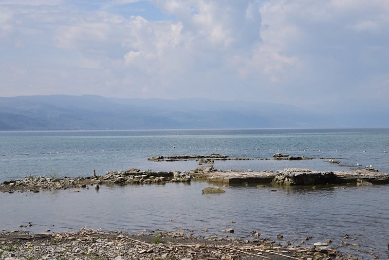
In 2014, aerial photographs of Lake Iznik in northwestern Turkey revealed the outline of a church-like structure lying just beneath the surface of the water. Iznik was ancient Nicaea, the city where the first great Christian council met in 325 AD.
Researchers believe that an earthquake in the 8th century dropped the shoreline structure into the lake. Excavations have uncovered a basilica plan and mosaic fragments, which makes the site an unexpected link to early church history.
Templo de Santiago Quechula, Mexico
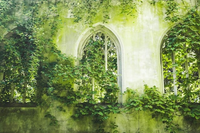
Built in the 16th century by Dominican friars in Chiapas, the church at Quechula was abandoned when the Nezahualcóyotl dam flooded the Grijalva River valley in the 1960s. For decades it stayed hidden, with only the water showing.
During drought years, the level drops and the church emerges, revealing its long nave and thick stone walls, with its roof long gone. Boat operators now carry tourists to the structure when the water is low.
Derwent and Ashopton, England
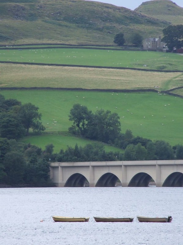
The Derbyshire villages of Derwent and Ashopton were cleared in the 1940s to build the Ladybower Reservoir, which filled to supply water to cities in the Midlands. The church spire at Derwent remained above the water for a time before it was demolished in 1947.
During dry spells, the old foundations, garden walls, and a packhorse bridge emerge from the reservoir. Crowds gather when the water drops, eager to walk where residents once lived.
Fabbriche di Careggine, Italy
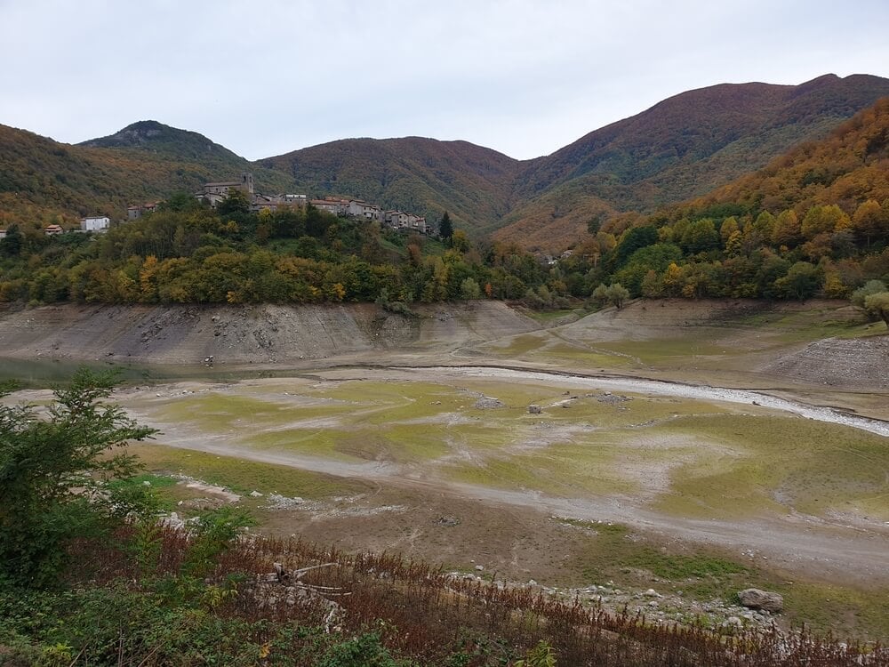
Fabbriche di Careggine in Tuscany takes its name from the forges that once worked there, and it was flooded in 1947 when a dam created Lake Vagli. The medieval village sits under the lake, with houses and a church tower reportedly well preserved.
The reservoir is occasionally drained for dam maintenance, and each time the village appears as a muddy ghost town. Residents and tourists have flocked to see it on the days the water is out.
Samabaj, Guatemala
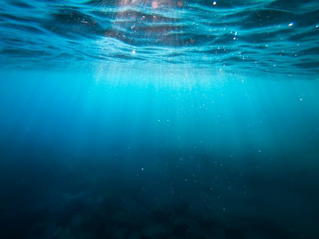
In 1996, diver Roberto Samayoa found stone structures about 70 feet underwater in Lake Atitlán. The site, now called Samabaj, appears to be a Maya village built on an island roughly 2,000 years ago, complete with a ceremonial plaza and carved monuments.
Researchers believe a volcanic event or rising lake levels pushed the community under, preserving its stone features. The name combines Samayoa with abaj, a Maya word for stone.
Caesarea Maritima’s Harbor, Israel
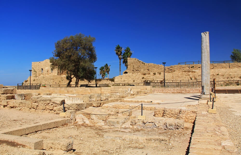
King Herod built the harbor of Sebastos at Caesarea in the late first century BC, using Roman hydraulic concrete that hardened underwater. Earthquakes and tsunamis, along with silt and slumping, caused sections of the breakwaters and warehouses to sink over the centuries.
Today an underwater archaeology park allows divers to follow marked trails among the stone blocks. The site shows how ambitious Roman builders were, since they constructed an artificial port on a coast with no natural harbor.
Aceredo, Spain
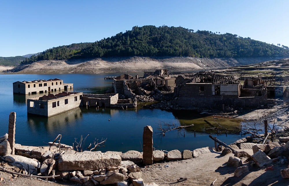
The Galician village of Aceredo was flooded in 1992 when the Alto Lindoso reservoir, built on the Portuguese side of the Limia River, filled up. Its families were moved elsewhere, and the buildings were left behind.
When drought drops the water level, houses, walls, and the church emerge from the lake. The ghostly ruins have become a magnet for photographers and curious hikers.
When Water Remembers
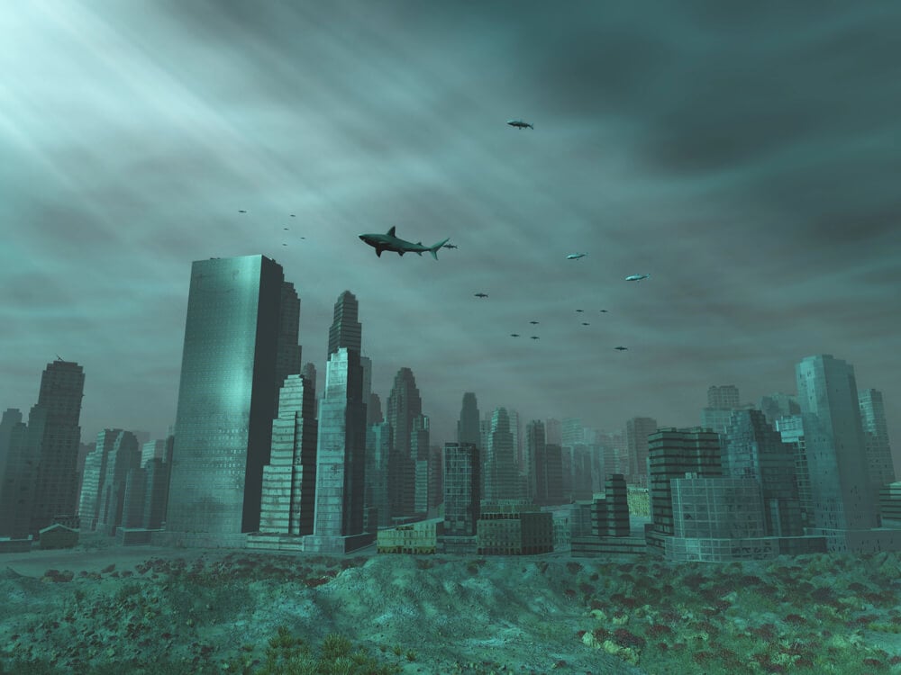
Every site on this list is proof that the ground beneath a city is never as stable as it looks. Earthquakes, storms, rising seas, and engineering decisions all rewrote the map, sometimes in a single night and sometimes over many centuries.
The people who lived in these places rarely saw it coming, and many left behind belongings that tell their stories better than any text.
Water preserves as much as it destroys, and that is why divers keep finding streets, statues, and houses in surprisingly good shape. Droughts keep revealing others, reminding everyone that drowned places are not always gone for good.
They wait quietly below the surface, ready to be read again.
More from Go2Tutors!

- The Romanov Crown Jewels and Their Tragic Fate
- 13 Historical Mysteries That Science Still Can’t Solve
- Famous Hoaxes That Fooled the World for Years
- 15 Child Stars with Tragic Adult Lives
- 16 Famous Jewelry Pieces in History
Like Go2Tutors’s content? Follow us on MSN.