31 Maps From History That Got the World Badly Wrong
Cartographers have always had to make decisions with incomplete information, and for most of history, that meant filling gaps with guesswork, secondhand travelers’ accounts, or outright invention. The results were sometimes printed and republished for centuries before anyone thought to check.
The maps below range from honest mistakes to elaborate hoaxes, but each one shaped real decisions, from where explorers sailed to how empires drew their borders, based on a version of the world that simply was not there.
Ptolemy’s World Map

Compiled from the work of the second-century astronomer Ptolemy, this map dramatically overestimated the size of Asia and depicted the Indian Ocean as an enclosed sea with no outlet to the west. European mapmakers relied on its basic framework for well over a thousand years, long after better information had become available.
Mercator Projection

Gerardus Mercator designed this projection in 1569 to help sailors plot straight-line courses, but it badly distorts the relative size of landmasses near the poles. Greenland appears roughly the same size as Africa on a Mercator map, despite Africa’s actual area being about fourteen times larger.
The Vinland Map
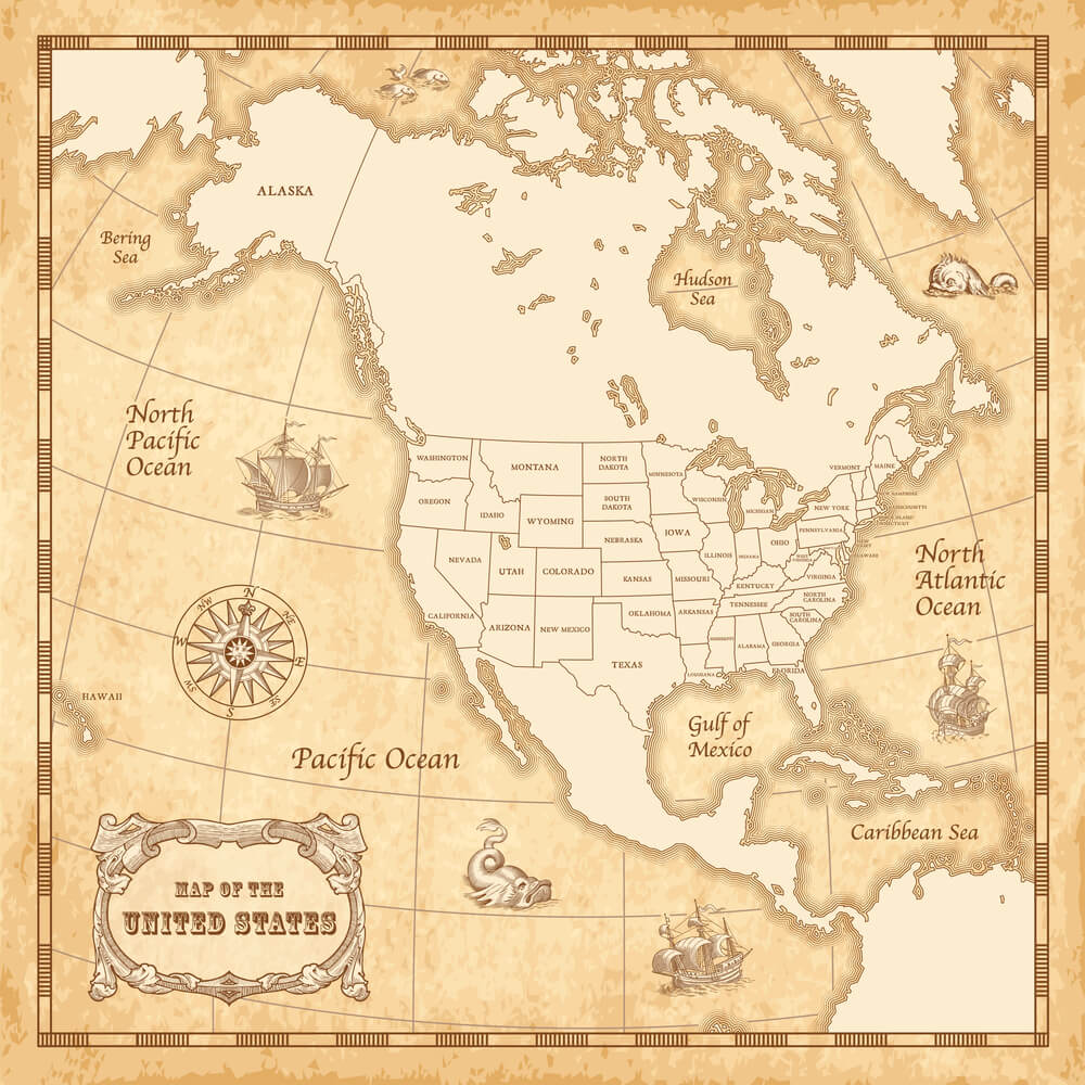
This document, which surfaced in the 1950s and claimed to show a pre-Columbian Norse map of North America, was presented as evidence Vikings had charted the continent centuries before Columbus. Chemical analysis of its ink in later decades led most experts to conclude it is a twentieth-century forgery.
California as an Island

European maps from the 1600s through the early 1700s frequently depicted California as a large island separate from mainland North America. The error, likely rooted in confused explorer reports, persisted on some published maps for well over a century after more accurate surveys existed.
Terra Australis
For centuries, mapmakers filled the unexplored southern hemisphere with a vast hypothetical continent they called Terra Australis, assumed necessary to balance the landmasses of the north. The idea persisted on maps well into the eighteenth century, until Captain Cook’s voyages proved no such continent existed in the ocean regions where it had been drawn.
Mountains of Kong
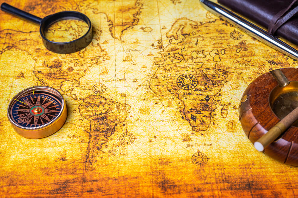
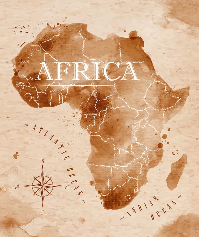
This entirely fictitious mountain range, stretching across a huge swath of West Africa, first appeared on maps in the late 1700s based on flawed explorer accounts. It continued to appear on published maps and even some encyclopedias until the early twentieth century, when ground surveys finally confirmed it did not exist.
Sandy Island
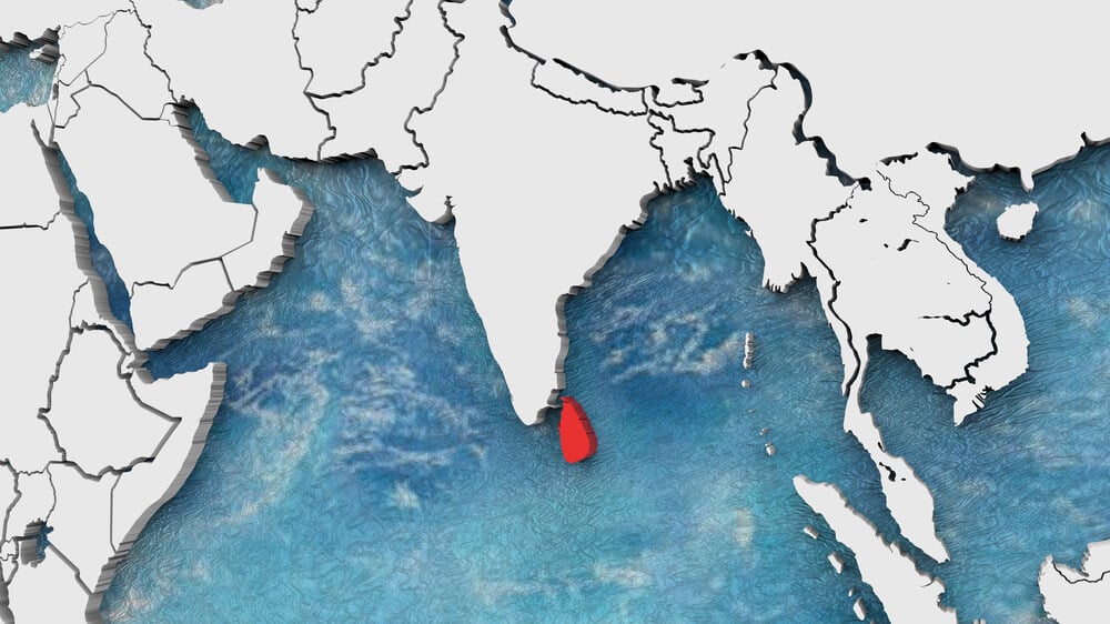
This phantom island near New Caledonia appeared on nautical charts and even digital mapping services for over a century. Australian scientists sailing through the area in 2012 confirmed there was open ocean where the island was supposed to be, and it was formally removed from official charts shortly afterward.
Hy-Brasil
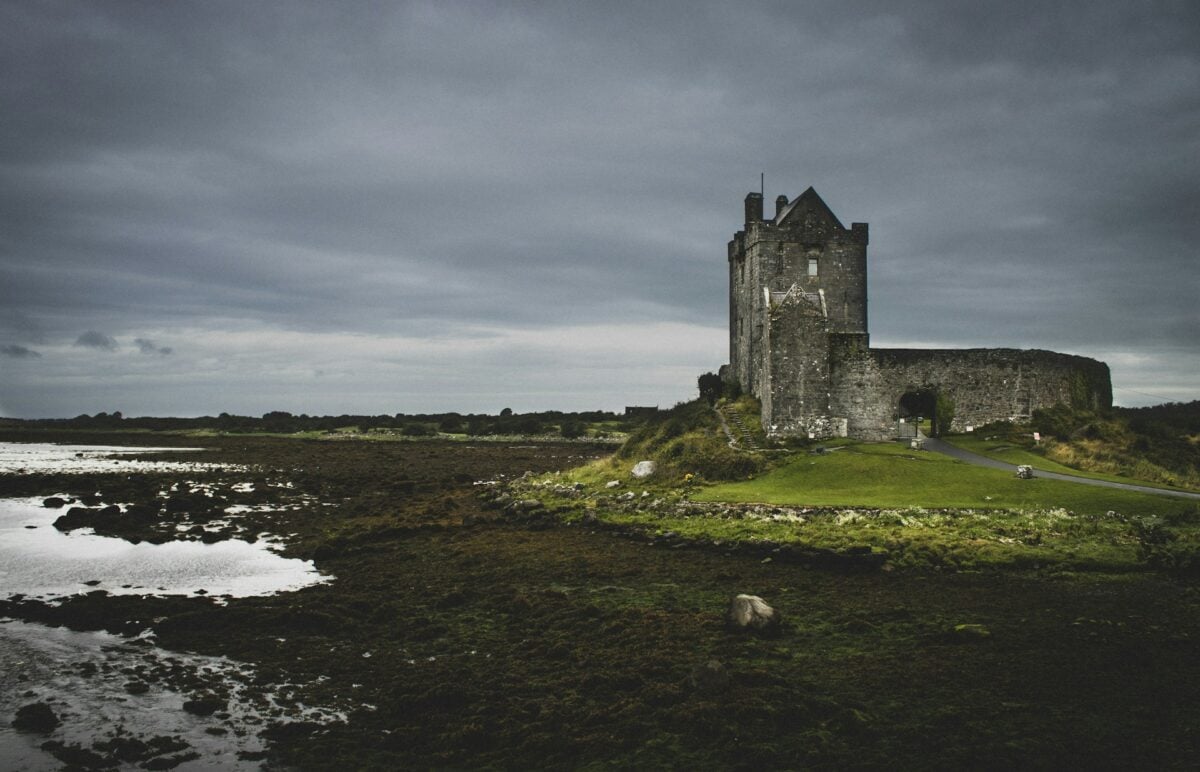
This mythical island, said to lie off the west coast of Ireland, appeared on maps from at least the fourteenth century through the 1800s, often shown as perfectly circular. Its persistent appearance likely stemmed from Irish folklore about an enchanted island that only became visible once every seven years.
Frisland
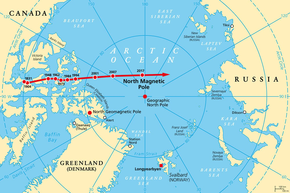
Published maps from the sixteenth and seventeenth centuries frequently included this large phantom island in the North Atlantic, based on a fabricated account of Venetian voyages published in 1558. Several real expeditions searching for Frisland instead stumbled onto Greenland and other actual landmasses.
Bermeja Island

This island, long shown off Mexico’s Yucatán Peninsula in the Gulf of Mexico, appeared on maps for centuries before modern surveys failed to locate it. Its disputed existence became more than academic in recent decades, since its presence or absence affects how nearby maritime boundaries and oil rights are drawn.
Isle of Demons

Sixteenth-century maps of the North Atlantic often marked this supposed island near Newfoundland as a place inhabited by evil spirits, based on sailors’ folklore. The label appeared on official navigational charts for decades despite no expedition ever confirming the island’s existence.
Rupes Nigra
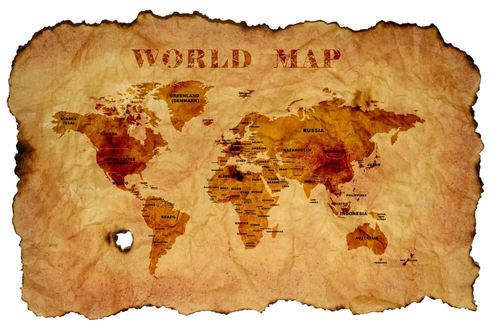
Renaissance-era maps of the Arctic frequently depicted a massive magnetic black rock at the North Pole, meant to explain why compass needles pointed north. The theory persisted in published cartography well into the sixteenth century before better understanding of magnetism replaced it.
Crocker Land

Arctic explorer Robert Peary reported sighting this landmass northwest of Greenland in 1906, and it appeared on subsequent maps of the region. A dedicated expedition sent to explore it between 1913 and 1917 found nothing but open ice, at the cost of one expedition member’s life and years of hardship for the rest of the team.
Antillia

Medieval and early Renaissance maps frequently depicted this legendary island in the Atlantic, sometimes called the Island of Seven Cities, said to have been settled by refugees fleeing an eighth-century Iberian conquest. It appeared on maps used by several early transatlantic explorers, including versions consulted before Columbus’s voyage.
Northwest Passage Misconceptions
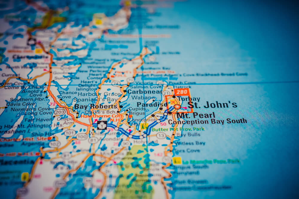
For roughly three centuries, European maps optimistically depicted a short, navigable sea route across the top of North America connecting the Atlantic and Pacific oceans. The actual passage proved far more treacherous and ice-choked than cartographers assumed, and the costly search for it drove numerous doomed expeditions, including the Franklin expedition of 1845.
Prester John’s Kingdom
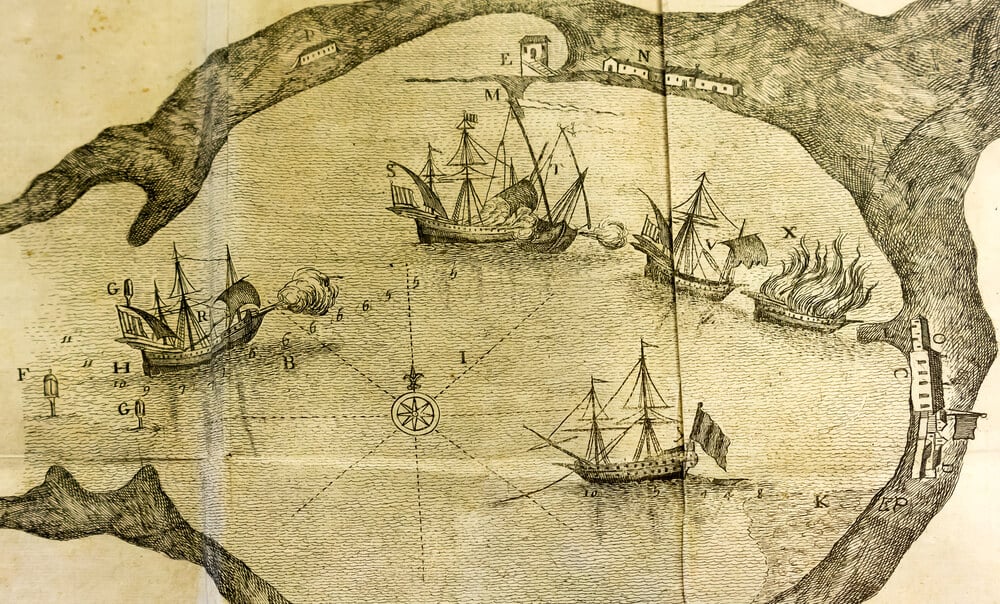
Medieval maps placed the realm of this legendary Christian king, first somewhere in Asia and later in Africa, based on rumors with no verified source. European rulers sent real diplomatic missions searching for his kingdom for centuries, based entirely on cartography built around a figure who likely never existed.
Java as a Giant Landmass

Some early European maps, influenced by exaggerated descriptions in Marco Polo’s travel accounts, depicted Java as an enormous landmass far larger than its actual size, sometimes labeled as two separate giant islands. The confusion persisted in cartography for generations before more accurate surveys of Southeast Asia corrected it.
Korea as an Island

Numerous European maps from the 1600s and 1700s incorrectly depicted the Korean Peninsula as a separate island rather than a landmass connected to the Asian continent. The error appeared in maps published by respected European cartographers well after more accurate information had reached Europe through other channels.
Early Great Lakes Distortions

Maps produced by European explorers in the 1600s frequently misrepresented the size, shape, and connections of the Great Lakes, based on secondhand accounts and limited direct surveying. Some early versions showed lakes connecting to oceans or rivers that did not exist, reflecting the era’s optimistic guesses about interior geography.
The Zeno Map

Published in 1558, this map claimed to document a fourteenth-century Venetian expedition across the North Atlantic and included several islands, including Frisland, that do not exist. Modern historians widely regard the underlying voyage account as a fabrication, though the map influenced European exploration and cartography for well over a century.
Piri Reis Map
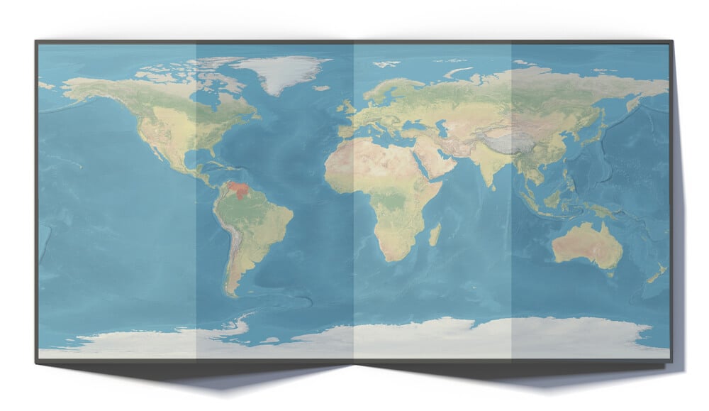
This 1513 Ottoman map is remarkably accurate in its depiction of the West African and South American coastlines for its era, but it also includes a speculative southern landmass that some modern fringe theories misidentify as an ice-free Antarctica. Mainstream cartographic historians instead attribute that portion of the map to a distorted or extended rendering of the South American coast.
Australia’s Guessed East Coast
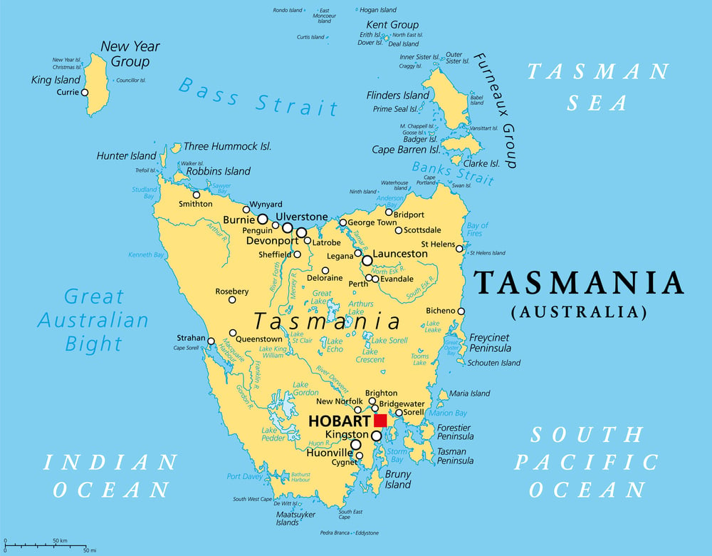
Dutch maps of the 1600s accurately charted much of Australia’s western and northern coastlines but left the eastern coast blank or filled with speculative guesswork, since no European had yet sailed along it. That gap was not filled in accurately until Captain Cook charted the eastern coast in 1770.
The Sea of the West

Many eighteenth-century French maps depicted a large inland sea or strait in what is now the western United States and Canada, based entirely on speculation about how the continent’s interior geography ought to work. The feature never existed, though it influenced the planning of several real exploratory expeditions searching for it.
Zipangu

Marco Polo’s travel accounts described Japan, which he called Zipangu, as an extraordinarily wealthy island lying far off the coast of China, and mapmakers of the following centuries incorporated wildly exaggerated distances into their charts. That miscalculation directly influenced Christopher Columbus’s belief that Asia lay within reasonable sailing distance west of Europe.
Toscanelli’s Map

Florentine astronomer Paolo Toscanelli produced a map and accompanying calculations in the 1470s that significantly underestimated the earth’s circumference and overestimated how far east Asia extended. Christopher Columbus relied heavily on this flawed geography when planning his 1492 voyage, which is a significant reason he believed he had reached Asia rather than an entirely unknown continent.
Nile Source Misconceptions
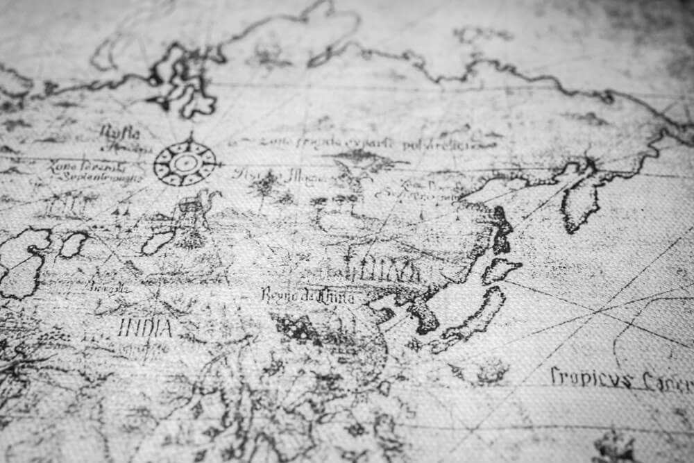
For nearly two thousand years, maps depicted the source of the Nile River based on Ptolemy’s description of the Mountains of the Moon, a mythical range whose real-world location was never firmly established. The actual sources of the river were not properly identified until nineteenth-century expeditions led by explorers including John Hanning Speke.
Medieval T-O Maps

These simplified medieval maps, common from roughly the seventh through the fourteenth centuries, arranged the known world into three continents surrounding Jerusalem at the center, organized more by religious symbolism than by actual geography. Despite their inaccuracy as literal navigational tools, they shaped European conceptions of the world’s basic structure for centuries.
Waldseemüller Map
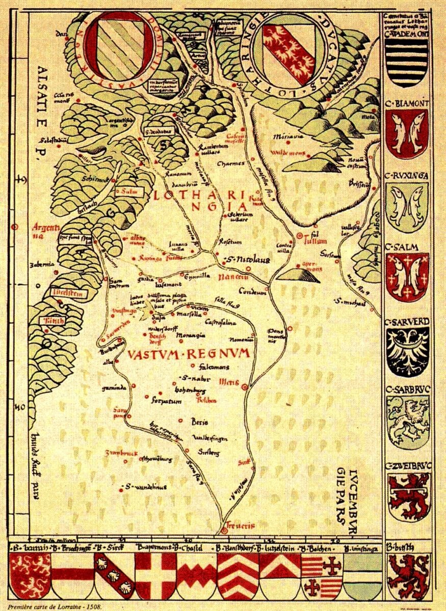
This 1507 map was the first to apply the name America to the New World, but it also depicted the newly encountered continent as an extremely narrow landmass, with the Pacific Ocean squeezed in far too close behind it. The error reflected the fact that no European had yet crossed the Pacific, since Vasco Núñez de Balboa would not sight it for another six years.
Hereford Mappa Mundi

This large medieval map, created around 1300 and still housed at Hereford Cathedral in England, organizes the world symbolically around Jerusalem and populates distant regions with fantastical creatures rather than accurate geography. It was never intended as a navigational tool but rather as a visual sermon about the shape of Christian history and belief.
Behaim’s Erdapfel Globe

Completed in 1492, the same year Columbus set sail, this is the oldest surviving terrestrial globe and depicts a single unbroken ocean between Europe and Asia, with no landmass in between. Its maker, Martin Behaim, had no way of knowing the Americas existed, and the globe stands as a physical snapshot of exactly how wrong European geography still was on the eve of its greatest correction.
Robert Thorne’s Polar Route Map

English merchant Robert Thorne produced a map and accompanying letter in 1527 arguing that ships could sail directly over the North Pole to reach Asia, based on the mistaken assumption that polar seas would be ice-free during summer months. His theory helped inspire a series of English and Dutch expeditions in the following decades that battled brutal Arctic conditions searching for a route that never existed as he had drawn it.
Confidence Printed in Ink

A map does not announce its own uncertainty. Once a coastline, an island, or a mountain range has been engraved onto a copper plate and reproduced across dozens of published editions, it tends to look just as authoritative as the parts that happen to be accurate.
That is the real lesson buried in these errors. Cartography has always been part science and part storytelling, and for centuries the storytelling filled in for science far more often than anyone reading the finished map could have known.
More from Go2Tutors!

- The Romanov Crown Jewels and Their Tragic Fate
- 13 Historical Mysteries That Science Still Can’t Solve
- Famous Hoaxes That Fooled the World for Years
- 15 Child Stars with Tragic Adult Lives
- 16 Famous Jewelry Pieces in History
Like Go2Tutors’s content? Follow us on MSN.