32 Pirate Hideouts and Smuggler Routes Lost to History for Centuries
There’s a particular kind of thrill in learning that the quiet cove down the road, the one where you might’ve eaten a sandwich on vacation once, used to be a drop point for stolen brandy or a hiding spot for men the Royal Navy wanted badly. History has a habit of paving over its rougher chapters with parking lots and gift shops.
But the coastlines remember, even when the maps stop mentioning it, and there are still dozens of places around the world that once ran on secrecy, nerve, and the simple fact that the tide doesn’t care who’s using it.
Nassau
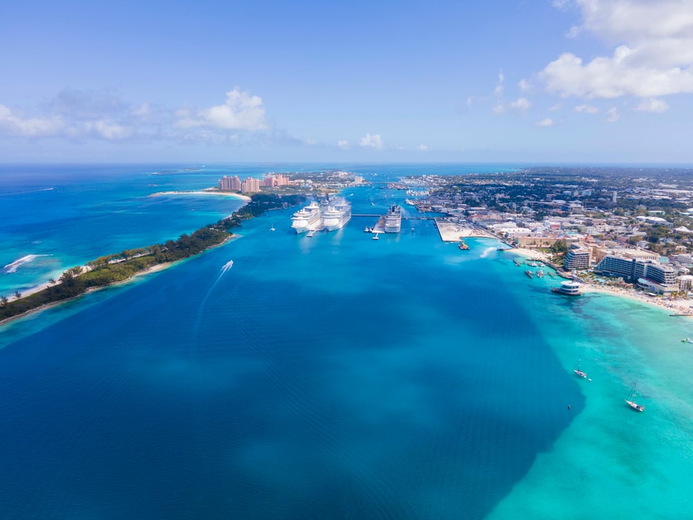
Nassau ran wild for a decade. No governor, no law, just captains splitting the take.
Blackbeard came through here. Charles Vane called it home before the Navy finally showed up and ended the party.
Tortuga
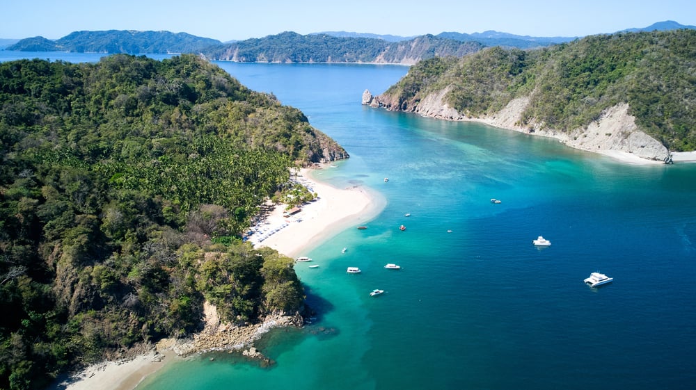
Tortuga started as a French colonial outpost, a rocky, unlovely speck off Hispaniola’s coast — but somehow, through little more than geography and official neglect, it turned into the place buccaneers went when they wanted no questions asked. The Spanish cleared it out more than once, and each time the pirates drifted back anyway: that’s the thing about an island nobody actually wants to govern.
So it stayed lawless well into the 1600s, home to men who answered to a captain before they answered to any crown. And the harbor, small as it was, held enough ships to make merchant fleets nervous for a hundred miles around.
Port Royal
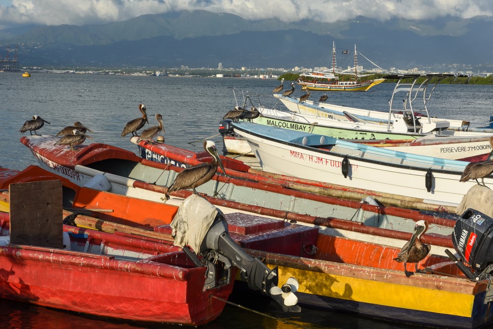
Port Royal wore its sins like a favorite coat, comfortable and a little too tight. Ships loaded with stolen silver dropped anchor here, and the town obliged with taverns, gambling houses, and looked-away eyes — a whole economy built on not asking questions.
Then in 1692, the earth decided it had heard enough, and an earthquake dropped a third of the city into the sea. What’s left sits underwater now, quiet in a way the place never managed while it was standing.
Ocracoke Island
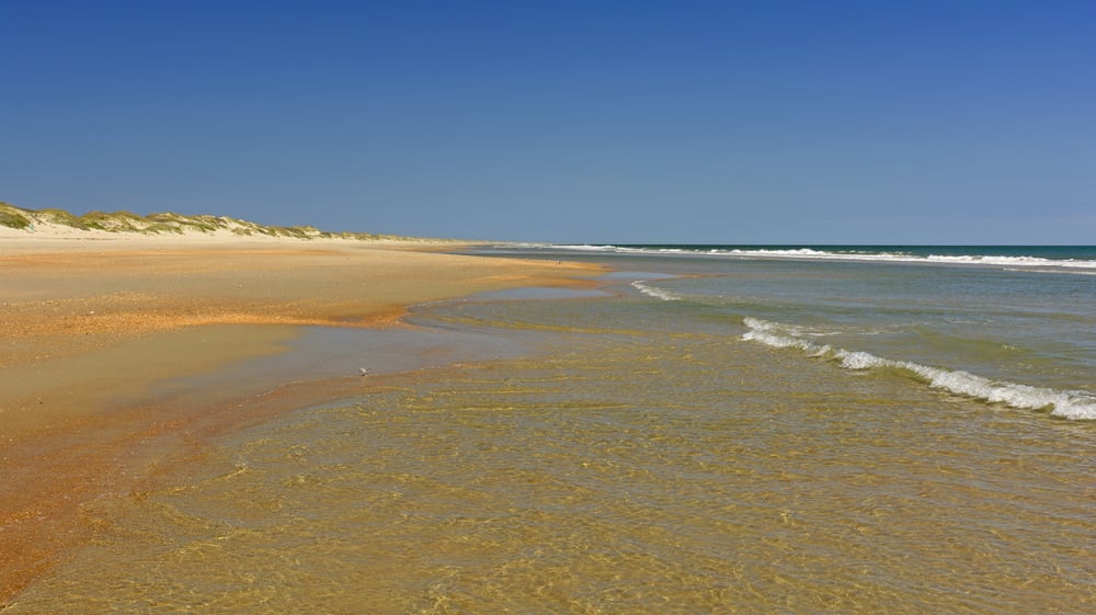
Blackbeard picked Ocracoke because it was perfect, and he wasn’t wrong. Shallow inlets, thick fog, and a maze of sandbars that swallowed Navy ships whole — the man knew real estate.
He met his end here in 1718, which is either poetic or just bad luck, depending on how charitable you’re feeling. Either way, the inlet still carries his name, and locals will happily point you to the spot, whether or not it’s the real one.
Barataria Bay
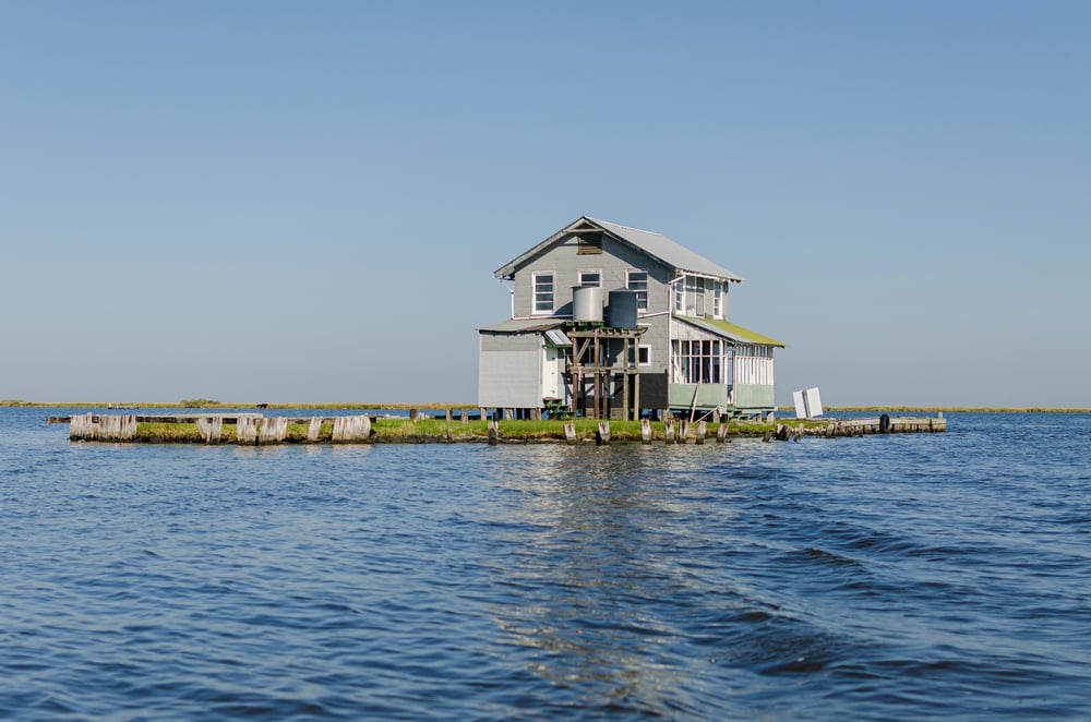
Jean Lafitte ran his operation out of Barataria Bay, no permission needed. The maze of bayous kept revenue agents lost for days.
He sold smuggled goods right in New Orleans, tax-free and in broad daylight. Then he helped Andrew Jackson fight the British and got a pardon for the trouble.
Cocos Island
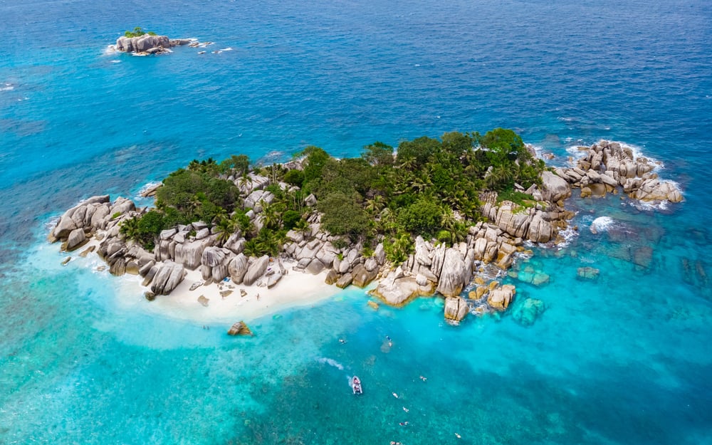
Cocos Island sits nearly 340 miles off Costa Rica’s coast, which meant almost nothing to the pirates who used it — Benito Bonito supposedly buried treasure there, and so did others, and the legends piled up faster than anyone could dig. It’s the kind of place that attracts obsessives: treasure hunters have spent small fortunes chasing rumors that were probably exaggerated the moment they were first told.
So the gold, if it ever existed, is still down there — or it isn’t, and nobody’s found proof either way. And that uncertainty, oddly enough, is exactly why the island still pulls people in.
St. Mary’s Island
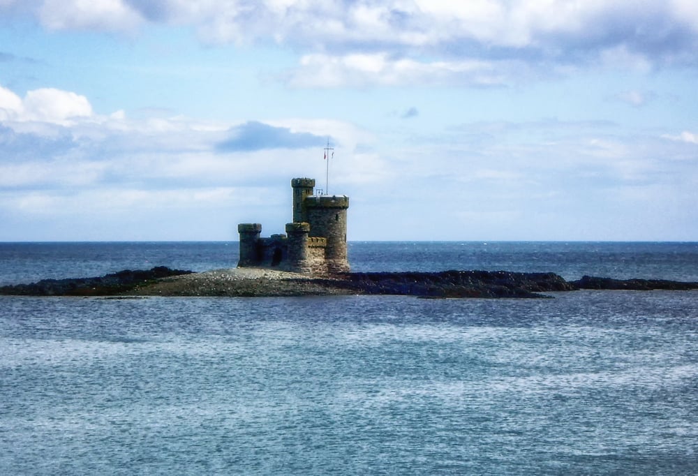
St. Mary’s Island floats off Madagascar’s east coast like something forgotten on purpose, and for a stretch of the late 1600s it became the unofficial capital of the pirate world. Captain Kidd anchored here.
Traders came from as far as New York to buy stolen silk and spices, no questions, cash only, and the island’s little harbor turned into a marketplace built entirely on things that had fallen off someone else’s ship. The graveyard on the island still holds pirate headstones, weathered nearly blank now, keeping names the sea long ago stopped caring about.
Salé
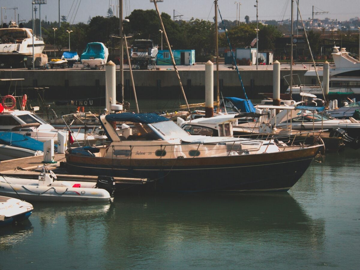
The Salé Rovers get overlooked, and that’s a mistake. These Barbary corsairs worked out of Morocco’s Atlantic coast and raided as far as the English Channel, dragging captives back for ransom or labor.
Europe spent a century either paying them off or losing ships to them, which tells you everything about who actually held the leverage. Salé isn’t romanticized in pirate lore the way Nassau is, but it probably should worry people more than it does.
Isle of Wight
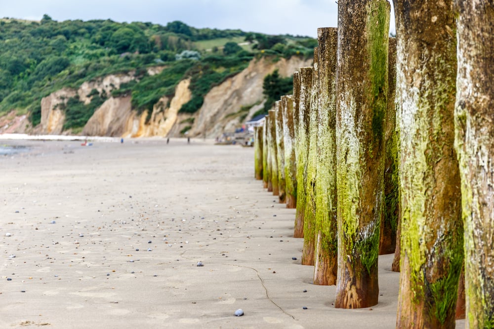
Smugglers loved the Isle of Wight for one reason: geography. Narrow channels, hidden coves, close enough to France to make quick runs.
Brandy, tea, and lace moved through here for generations, dodging customs men who rarely won. The caves at Freshwater still bear the marks of it.
Polperro
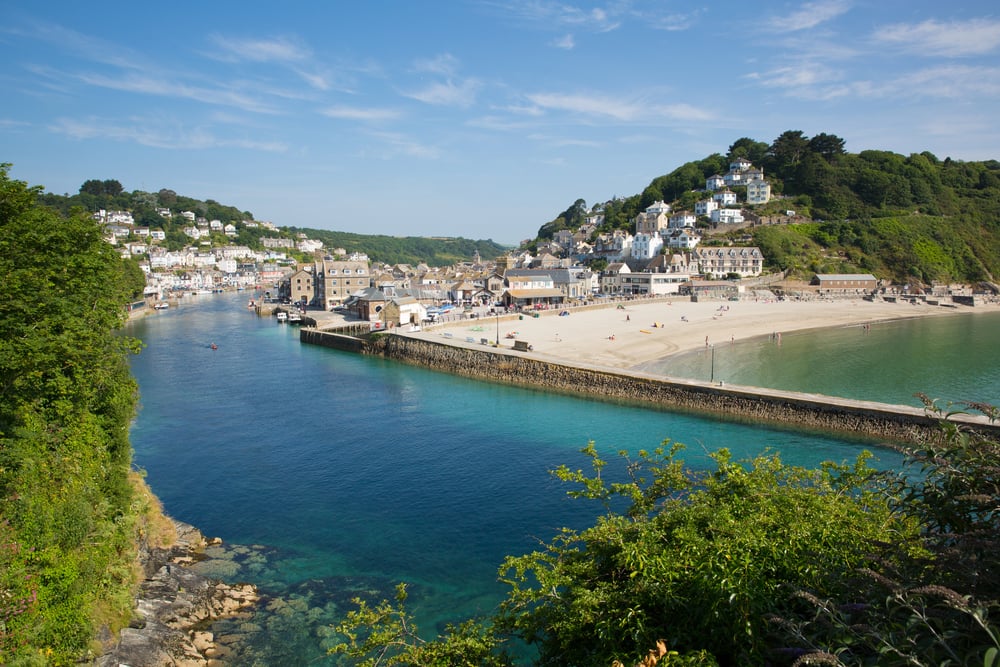
Polperro built its whole personality around smuggling, and honestly, it still hasn’t fully let go of the reputation — the harbor is tiny, awkward for anything official, and perfect for anything that needed to slip in unnoticed at 2 a.m. Customs officers were outnumbered here for decades, sometimes bribed by half the village, because when an entire town depends on contraband tea and French brandy, loyalty gets complicated fast.
So raids happened, arrests happened, and none of it slowed things down much. And the tunnels some houses still have in their cellars aren’t folklore: they’re just old plumbing for a different kind of trade.
Gower Peninsula
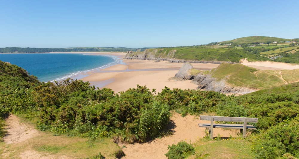
The Gower coastline folds in on itself, cove after cove, like a hand cupped to hide something small. Smugglers used exactly that quality for two centuries, running French wine and untaxed salt through caves that the tide erased evidence from twice a day.
Rhossili and its neighboring bays still hold caves nobody’s fully mapped, and locals talk about them the way people talk about relatives nobody’s heard from in years — present tense, but distant. The sea did the hiding here.
The people just knew how to use it.
Smuggler’s Notch
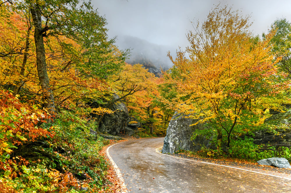
Smuggler’s Notch earns its name honestly, and that’s rarer than you’d think for a tourist spot. The narrow mountain pass saw smugglers moving cattle and goods across the Canadian border during the 1807 embargo, then saw a second wave running contraband during Prohibition.
It’s a ski resort now, which is a strange fate for a passage once used to dodge federal agents. Nobody’s complaining about the irony, mostly because the skiing is good enough to distract from it.
Gasparilla Island
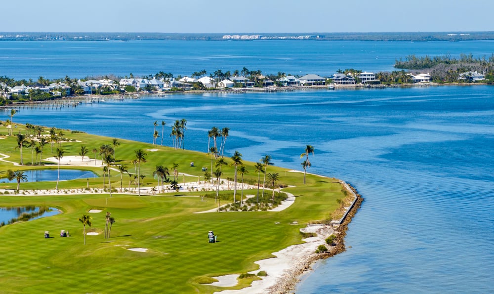
Gasparilla Island takes its name from José Gaspar, a pirate who may not have existed at all. No records confirm him.
Locals kept the legend anyway, and Tampa still throws a festival for him every year. Sometimes a good story outlives the need for proof.
Whydah Wreck
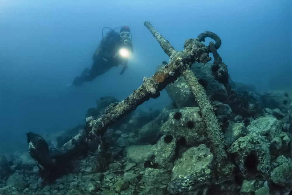
The Whydah Gally went down off Cape Cod in 1717 during a storm, taking Captain Sam Bellamy and most of his crew with it — and for over 260 years, nobody knew exactly where, which is remarkable given how much gold was supposedly sitting in the wreckage. Barry Clifford finally located it in 1984, and what came up afterward turned out to be the real thing: coins, cannons, a ship’s bell stamped with the Whydah’s name, proof this wasn’t just another sailor’s tall tale.
So the site became the only fully authenticated pirate shipwreck ever recovered in North America. And that’s not a small claim to make.
The Broomway
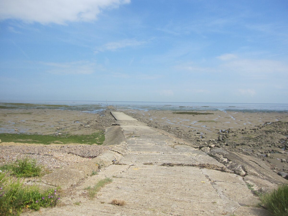
The Broomway crosses tidal mudflats off the Essex coast, a path so dangerous it’s earned the nickname “the deadliest path in England,” and for centuries smugglers used exactly that danger as cover. Revenue officers wouldn’t follow, not because they were lazy but because the tide comes in fast enough to drown a man who miscalculates by minutes.
Goods moved across those flats in the dark, guided by locals who’d memorized a route that shifts with every storm. The mud kept the secret better than any smuggler ever could.
Roatán
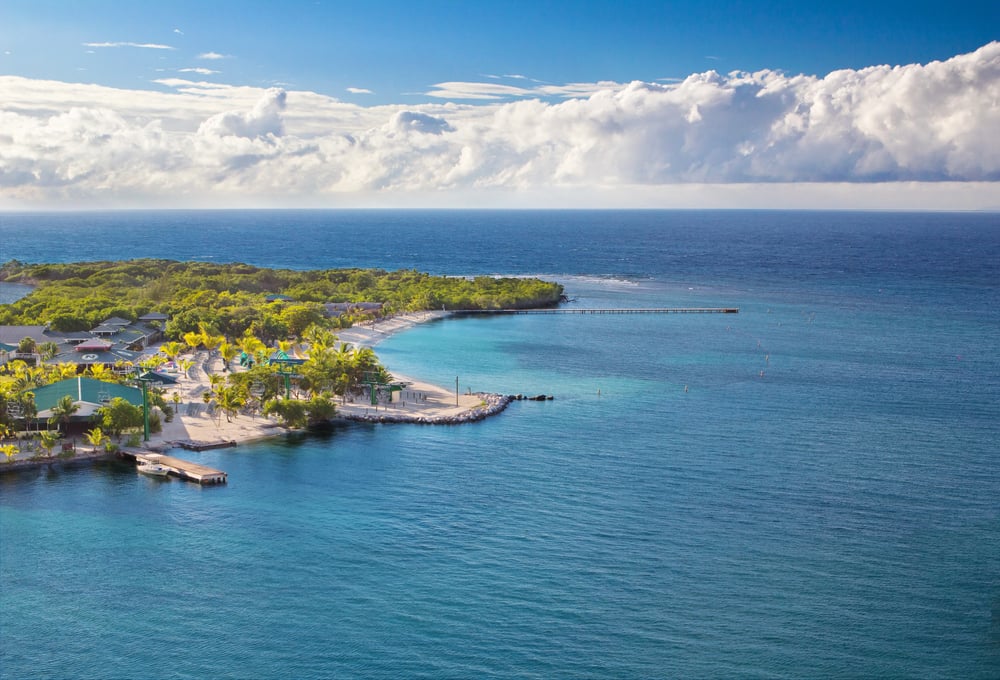
Roatán was pirate territory long before it was a cruise ship stop, and the contrast is almost funny if you think about it too long. Henry Morgan used the island’s coves as a staging ground, and later pirates followed once they realized the reef made a natural wall against anyone chasing them.
The same barrier reef that once protected raiders now protects snorkelers, which is either ironic or just the ocean not caring who’s using it. Either way, the coastline hasn’t changed much, only the cargo has.
Cayman Islands
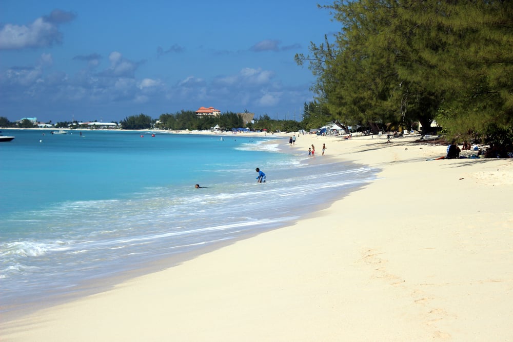
Pirates used the Cayman Islands as a resupply stop, nothing more, nothing less. Fresh turtle meat, fresh water, a quiet spot between raids.
Blackbeard is rumored to have stopped here more than once. The islands never became a base exactly, just a pause button.
Isle of Man
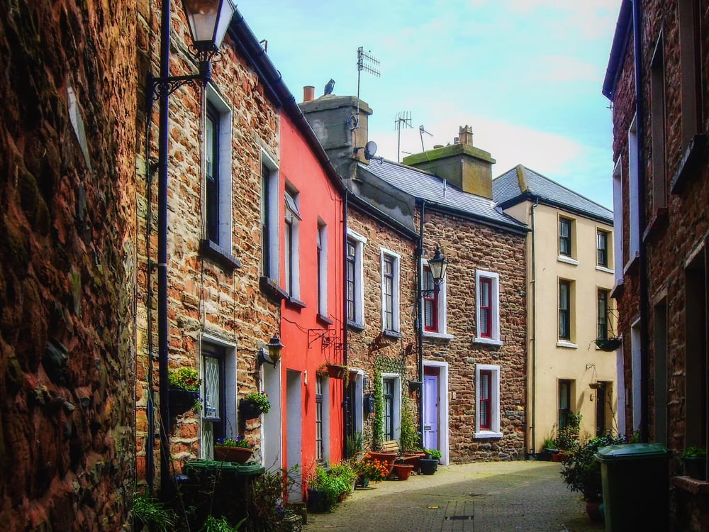
The Isle of Man sits almost exactly between England, Scotland, and Ireland, a position that made it useless for farming and priceless for smuggling — tea, brandy, and fine cloth moved through its coves for most of the 18th century, largely because the island’s own tax laws never quite matched the mainland’s. Customs officers on the island were, for a while, genuinely outnumbered by the very people they were meant to be stopping: that’s not an exaggeration, it’s just how small the enforcement budget was.
So smuggling became less a crime and more a local industry, tolerated the way small towns tolerate a business everyone secretly uses. And the caves along the southern coast still get pointed out to visitors, half history lesson, half local pride.
Bermuda
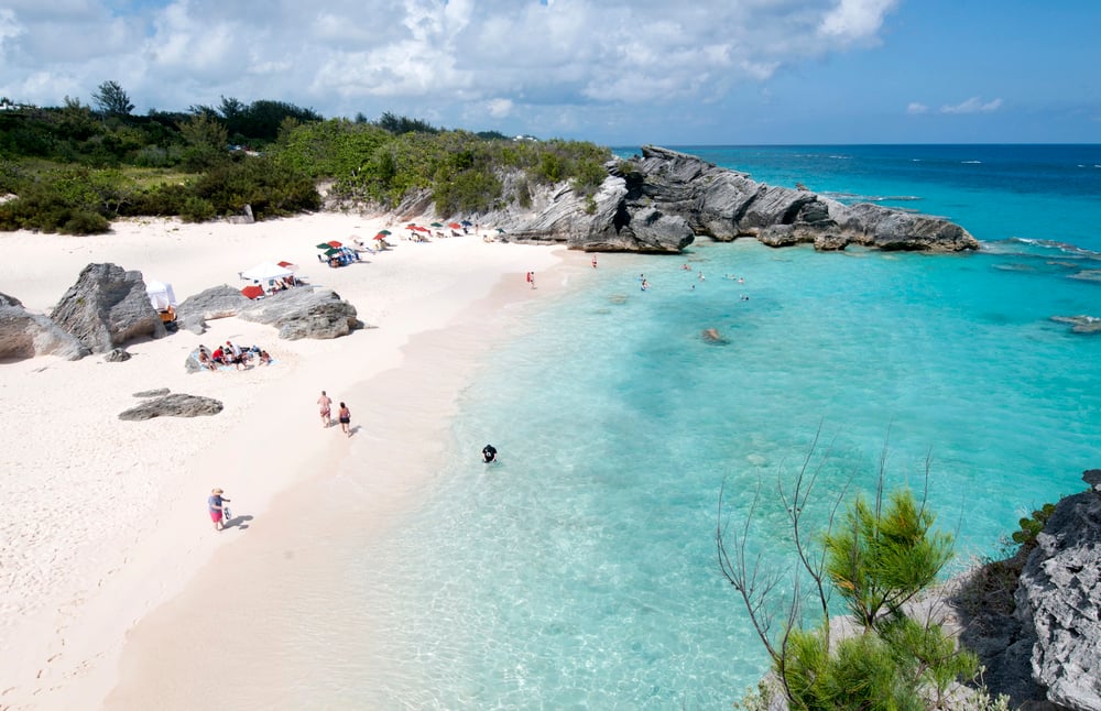
Bermuda’s reefs have wrecked more ships than any pirate ever robbed, and for centuries islanders treated those wrecks less like tragedies and more like harvests. Privateers and outright pirates both used the surrounding reefs as a shield, knowing pursuers unfamiliar with the water would tear their hulls open before catching up.
Salvage became its own profession here, quiet and profitable, built on other people’s misfortune. The reef doesn’t care whose side you’re on, it just waits.
Chesapeake Bay
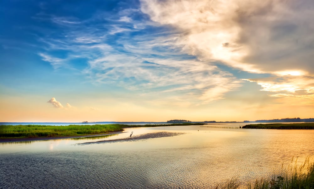
The Chesapeake Bay made smuggling almost too easy, and colonial customs agents never really solved that problem. Hundreds of inlets, rivers, and marshes gave runners more hiding spots than anyone could patrol, especially before steam power made chasing anything faster than a rowboat possible.
Molasses, rum, and English manufactured goods moved through the bay’s back channels for generations, dodging duties that colonists resented long before anyone used the word revolution. The bay’s geography did more for smugglers than any amount of nerve ever could.
San Juan Islands
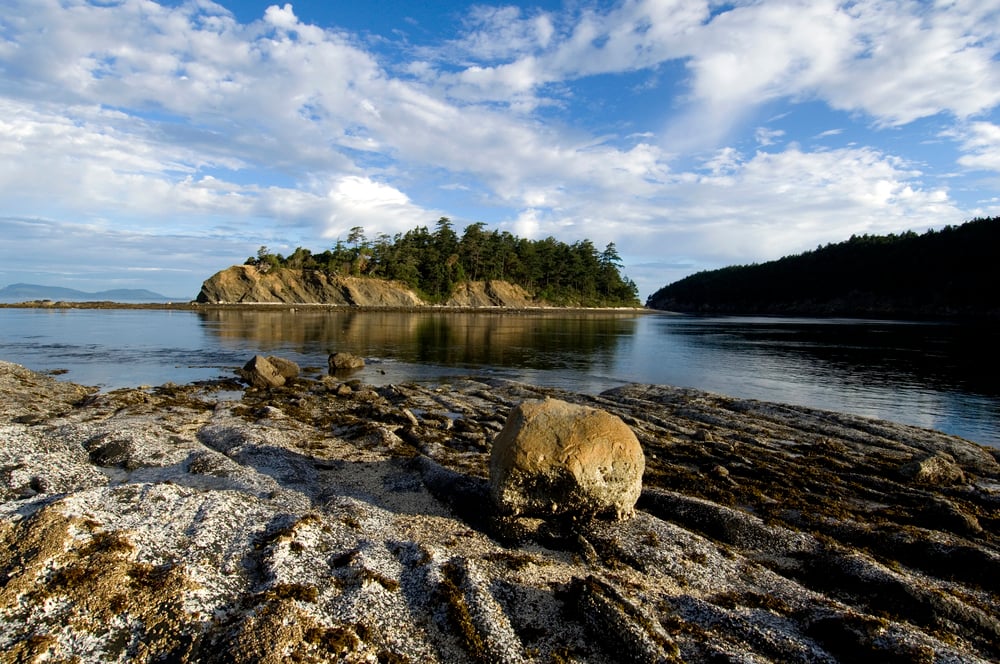
Prohibition turned the San Juan Islands into a rum-running highway. Boats slipped down from Canada under cover of fog, cutting engines to drift past patrols.
Locals still find old bottles in the shallows sometimes. The islands were quiet then, too, which was exactly the point.
Gulf Islands
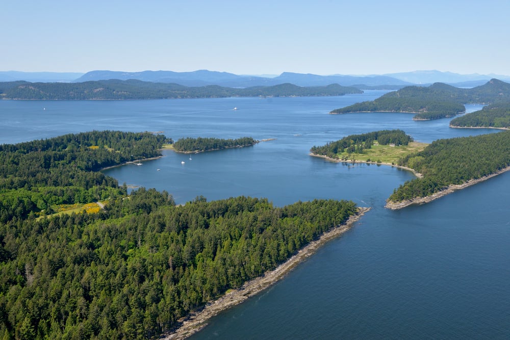
The Gulf Islands sit just across the water from the San Juans, and during Prohibition they played the opposite role — supplier instead of destination, loading boats with spirits legally distilled in Canada and sending them south into American waters where the same bottles became contraband the moment they crossed an invisible line. Some islanders got rich off it, quietly, without ever running a boat themselves: they just owned the warehouses.
So the money moved through Victoria and Vancouver Island in ways nobody advertised at the time. And decades later, families still tell the stories a little too casually for people whose grandparents were, technically, criminals.
Lundy Island
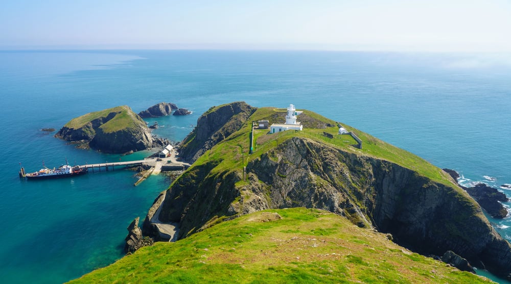
Lundy sits alone in the Bristol Channel, a granite lump too small to farm and too remote to police properly, and pirates treated it exactly like that description suggests: a free port with no landlord watching. Thomas Salkeld ran privateers from here in the 1600s, taxing ships that passed rather than robbing them outright, which is either piracy with better manners or just an early form of extortion.
The island’s isolation, its whole reason for existing on any map, was the same thing that made it useful for people who preferred not to be found. Nothing about Lundy has ever been convenient, and that used to be the appeal.
Sark
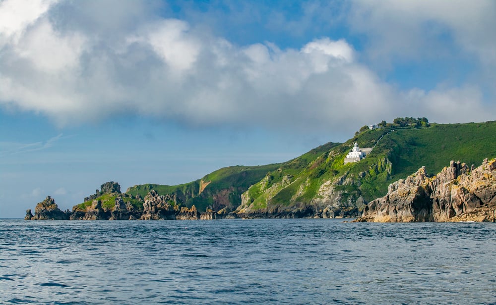
Sark ran on smuggling for a solid two centuries, and nobody there seemed particularly bothered by it. The island’s small size and lack of real governance made it an ideal drop point between France and England, and locals treated contraband less like crime and more like commerce.
Officials on larger islands complained constantly; Sark mostly ignored them. It’s a tiny island with an outsized reputation, which feels about right for a place that’s always done things its own way.
Rum Row
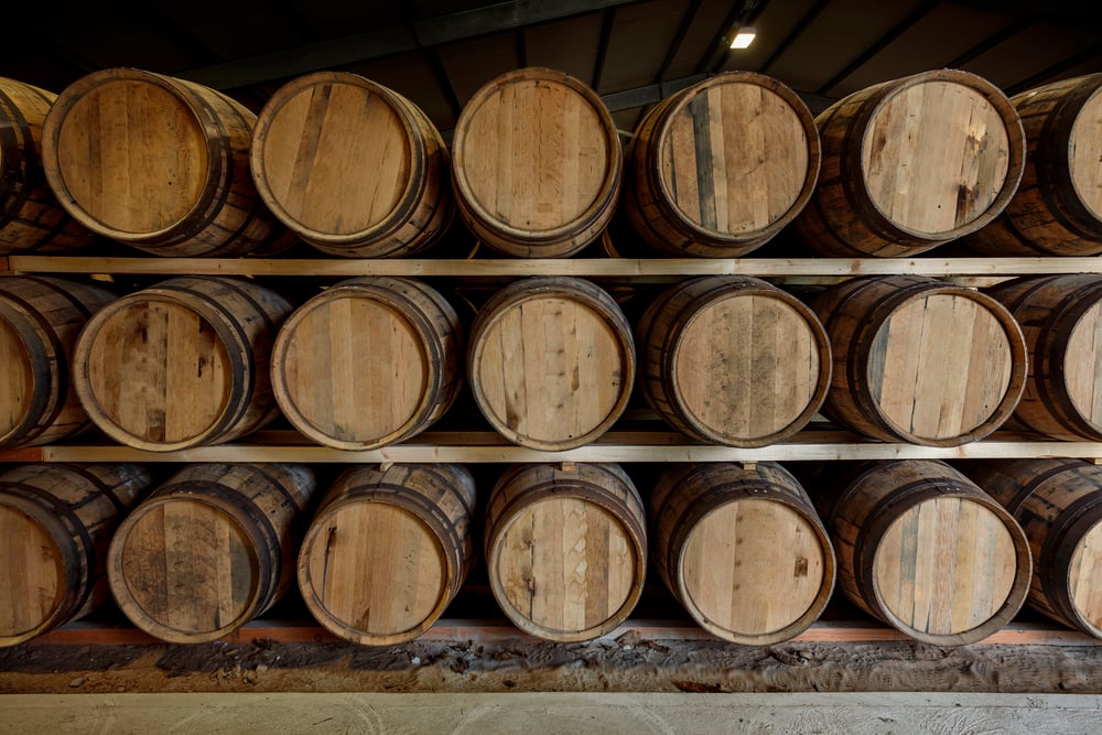
Rum Row wasn’t one place. It was a line of ships anchored just past U.S. waters during Prohibition, floating liquor stores waiting for speedboats.
Boats ran booze to shore under cover of dark, fast enough to outrun the Coast Guard most nights. The whole coastline, from Maine to Florida, had a version of it.
St. Thomas
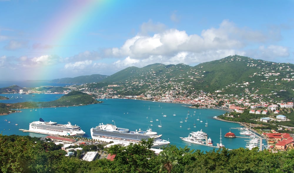
Blackbeard’s Castle sits on a hill above Charlotte Amalie, and whether the pirate himself ever actually used it as a lookout is genuinely disputed — historians lean toward probably not, but the tower predates him by enough decades that the name stuck anyway, the way nicknames do when nobody bothers correcting them. St. Thomas made a natural pirate stop regardless: deep harbors, a position along major trade routes, and Danish colonial authorities who weren’t exactly aggressive about enforcement.
So ships loaded with stolen cargo came through here for resupply and resale. And the castle, real history or not, still draws people up that hill every day.
Isla de la Juventud
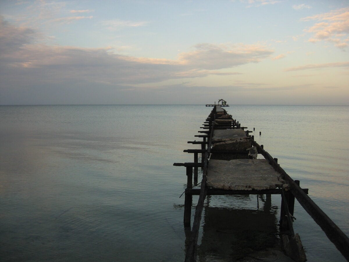
Isla de la Juventud used to be called the Isle of Pines, and pirates used its mangrove coastline the way a card player uses a poker face — quiet, unreadable, hiding exactly what needed hiding. The island’s shallow waters and thick vegetation kept larger Spanish patrol ships at a distance while smaller pirate vessels slipped through with ease.
Robert Louis Stevenson supposedly drew inspiration from the island for a certain fictional treasure map, though the connection is more legend than documented fact. Even now, the coastline feels like it’s keeping something back.
Algiers
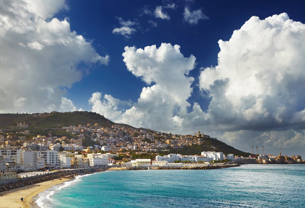
Algiers ran one of the most effective piracy operations in history, and calling it a nuisance undersells what actually happened. The Barbary corsairs based there captured thousands of European and American sailors over roughly three centuries, ransoming or enslaving them depending on what paid better.
The young United States eventually fought two wars over it, which is a strange footnote most people forget when talking about early American history. Algiers wasn’t a hideout so much as an entire economy built around one idea.
Cedar Key
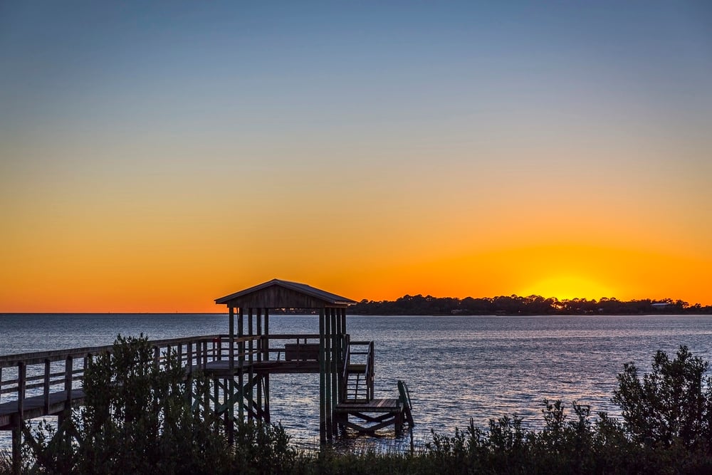
Cedar Key’s mangrove channels hid smugglers running goods past Spanish and later American patrols. The maze of small islands confused anyone unfamiliar with the water.
Locals knew every channel by memory. Outsiders usually didn’t get a second chance to learn.
Cape Fear River
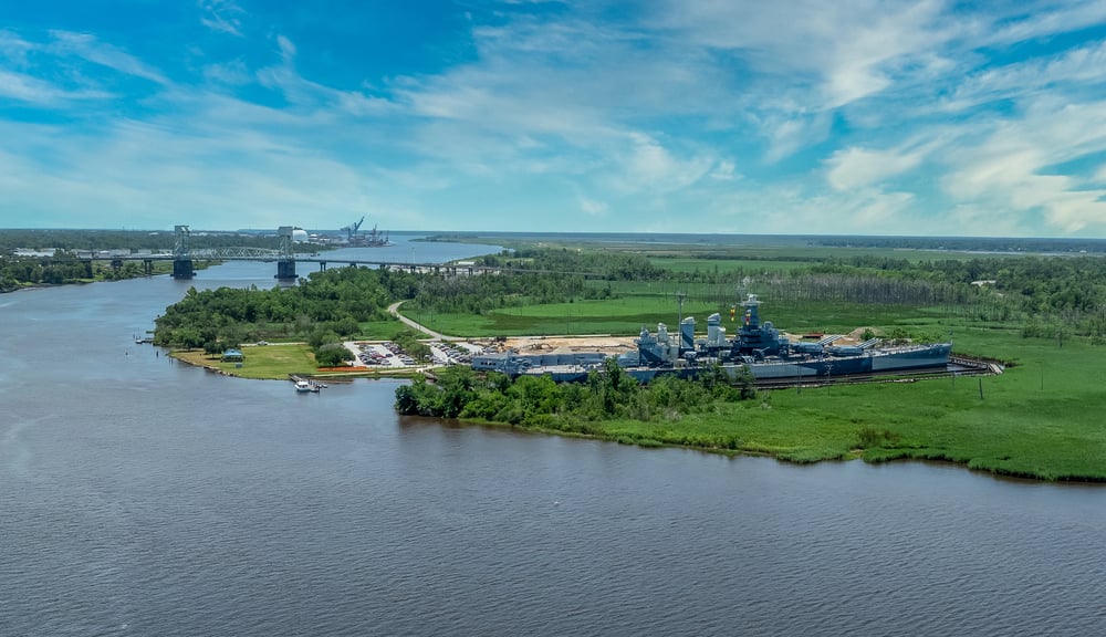
The Cape Fear River earned its name from sailors, and smugglers later earned a living because of the same shoals that made everyone else nervous — shallow water, shifting sandbars, and a current that punished anyone who didn’t already know the river by feel. Blockade runners used exactly that reputation during the Civil War, slipping past Union ships anchored offshore because the river simply refused to behave predictably.
So Wilmington became one of the last major Confederate ports still open, purely because the geography did what soldiers couldn’t. And that river hasn’t gotten any easier to read since.
Sanibel Island
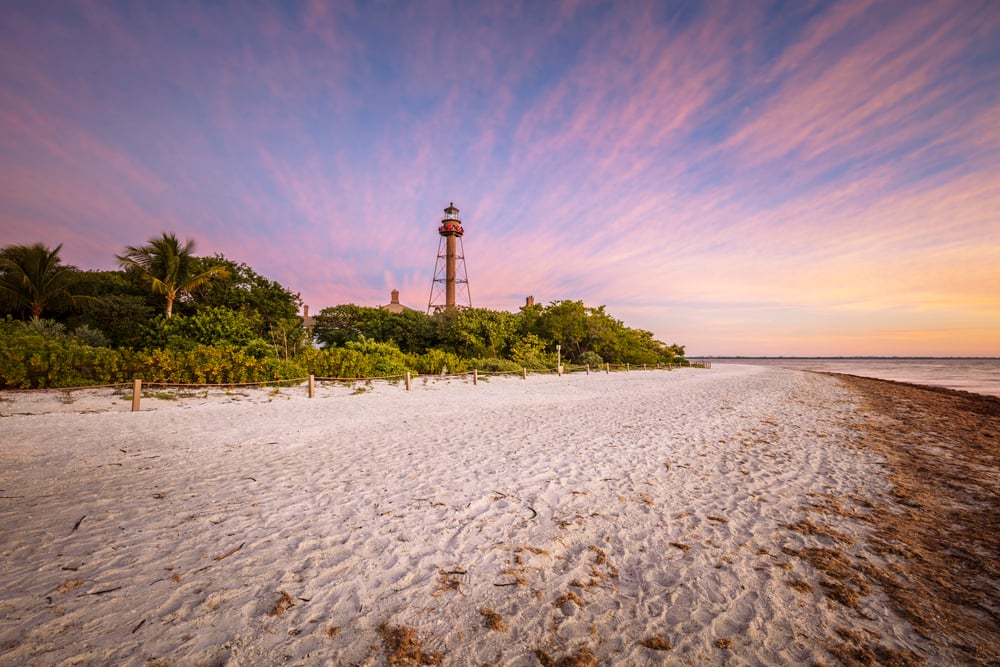
Sanibel Island’s beaches are famous now for shells, but the same barrier island once hid pirate ships behind its curve the way a shy person hides behind a doorway, present but not quite visible. Legend ties the island to José Gaspar’s operations again, this time as a lookout point rather than a stronghold.
Whether the specifics are true or simply repeated often enough to feel true, the shape of the coastline still makes the story plausible. Some places just look like they’re hiding something.
Cape May
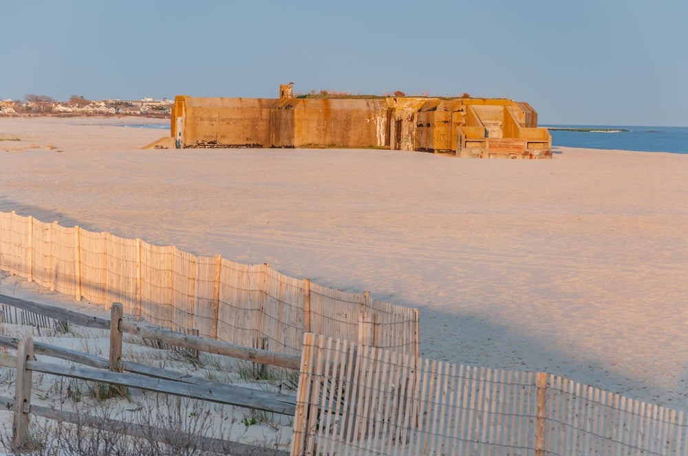
Cape May doesn’t get mentioned in pirate history nearly as often as it should, and that’s a genuine oversight. Captain Kidd is rumored to have buried treasure along its shores, and while nobody’s ever found proof, the town has leaned into the legend for over a century.
Whether or not any gold is actually down there, the story’s done more for local tourism than a real treasure chest ever could. Sometimes a rumor pays out better than the truth would.
What the Coastline Keeps to Itself
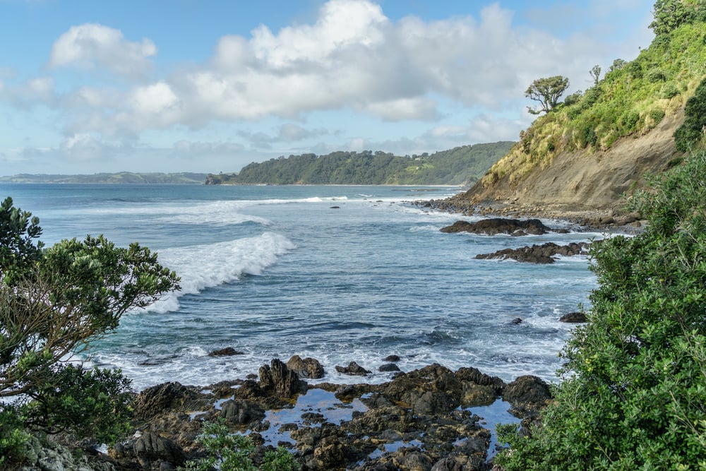
Most of these places look nothing like their old reputations now. There’s a marina where a smuggler’s cove used to be, a lighthouse blinking over water that once hid entire fleets from view, a ski lift running over a pass men used to sneak cattle through under cover of dark.
The coastline doesn’t announce any of it. You’d have to already know to look, and even then, the water’s not exactly in a talking mood.
But it’s there, underneath the surface of every postcard version of these places, a rougher history that never quite washed out.
More from Go2Tutors!

- The Romanov Crown Jewels and Their Tragic Fate
- 13 Historical Mysteries That Science Still Can’t Solve
- Famous Hoaxes That Fooled the World for Years
- 15 Child Stars with Tragic Adult Lives
- 16 Famous Jewelry Pieces in History
Like Go2Tutors’s content? Follow us on MSN.