27 Maps That Turned Out to Be Wrong for Centuries
Cartographers worked with the information available to them, which sometimes meant secondhand reports, garbled translations, or outright fabrication passed off as firsthand observation. Once an error appeared on an influential map, later mapmakers frequently copied it without verification, and some of these mistakes survived for hundreds of years before anyone corrected them.
California as an Island
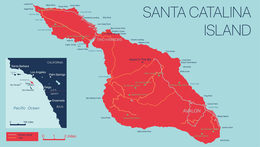
European maps depicted California as a large island separated from the North American mainland from the early 1600s through much of the following century, an error traced to a mistaken Spanish expedition report. The mistake proved remarkably persistent, appearing on maps published as late as the 1700s even after other explorers had already established the correct coastline.
The Mountains of Kong
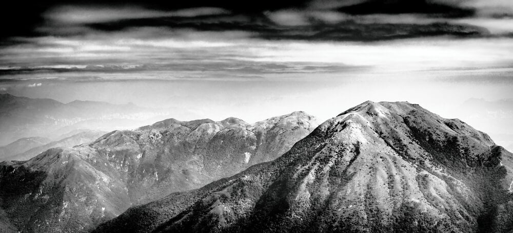
A mountain range labeled the Mountains of Kong stretched across a large portion of West African maps beginning in the late 1700s, supposedly separating the coast from the continent’s interior. The range did not exist and appears to have originated from a mapmaker’s misinterpretation of secondhand travel accounts, yet it remained on published maps for roughly a century before field surveys finally disproved it.
Terra Australis
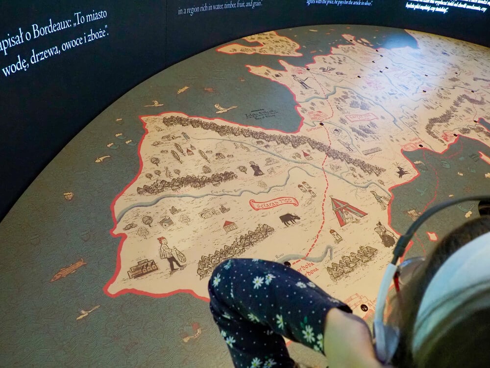
Ancient and medieval geographers theorized that a massive southern continent, Terra Australis, must exist to balance the landmass of the Northern Hemisphere, and mapmakers depicted this hypothetical continent for centuries before anyone had actually seen it. Explorers gradually shrank the supposed continent on successive maps as their voyages ruled out one region after another, until the real Antarctica was finally confirmed in the 1800s.
Frisland
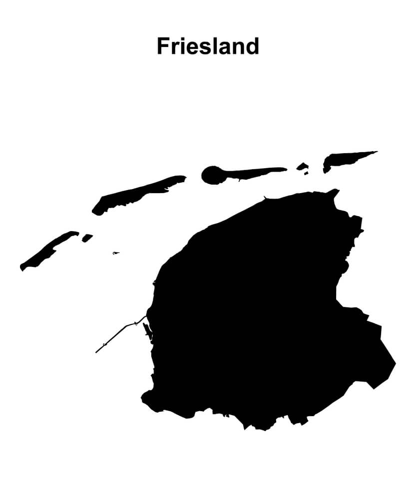
A phantom island called Frisland appeared on North Atlantic maps beginning in the 1500s, apparently based on an unreliable account describing voyages that likely never happened as described. The island continued appearing on maps for well over a century, sometimes drawn larger than Ireland, before mapmakers finally dropped it.
Hy-Brasil

A phantom island named Hy-Brasil appeared on maps of the waters west of Ireland for roughly five hundred years, from medieval times into the 1800s, tied to Irish legend describing a mysterious island that appeared only once every seven years. Some expeditions were reportedly launched specifically to find it, and it was not fully removed from official charts until relatively late in the nineteenth century.
Sandy Island
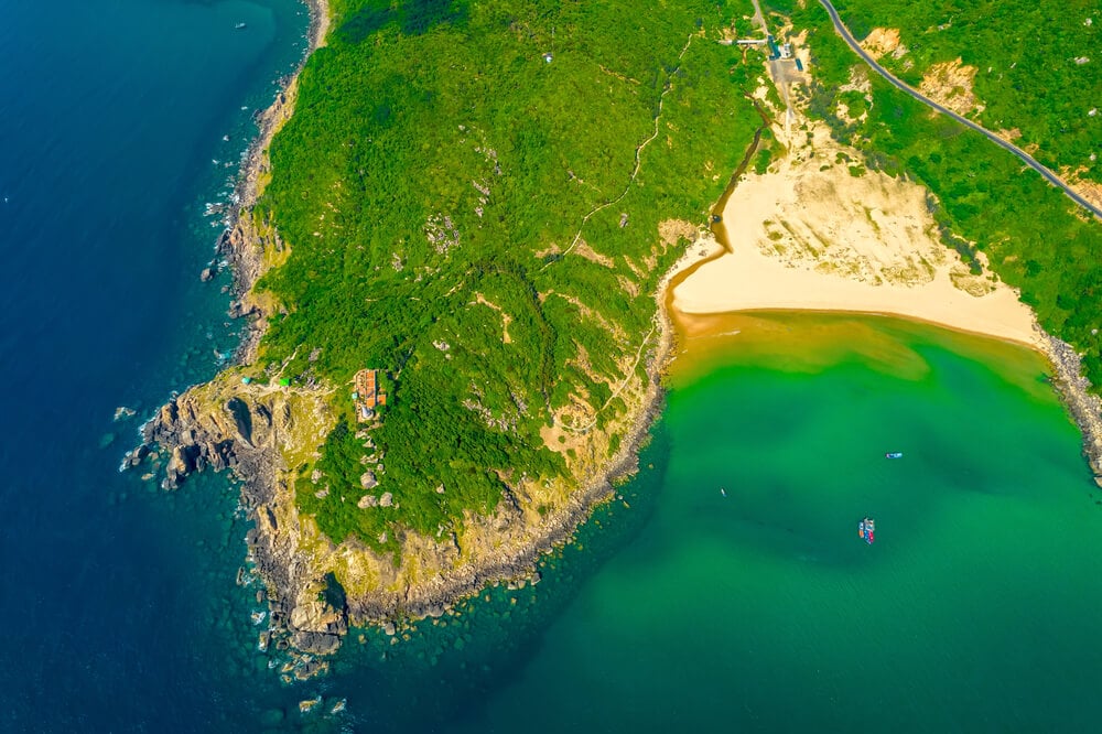
A supposed island in the Coral Sea between Australia and New Caledonia appeared on maps and even in some digital mapping databases for well over a century, despite the fact that it does not exist. A scientific expedition sailed directly through its charted location in 2012 and confirmed open water, finally prompting its removal from modern charts.
The Sea of the West
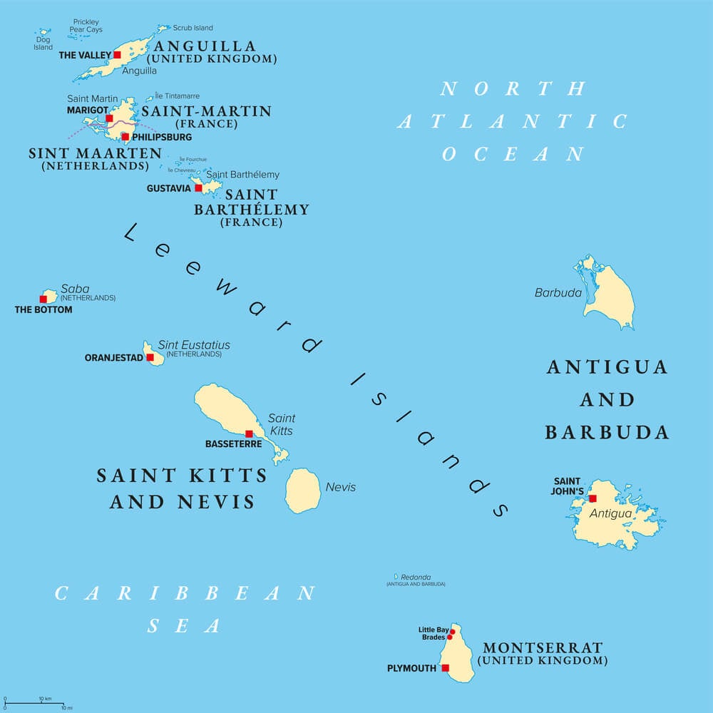
Eighteenth-century European mapmakers, working from unreliable and sometimes deliberately fabricated exploration accounts, depicted a large inland sea in the interior of North America known as the Sea of the West. The feature appeared on numerous published maps for decades and shaped genuine exploration expeditions before surveys of the actual continental interior finally disproved it.
Bermeja Island
A small island named Bermeja appeared on Mexican and Spanish maps in the Gulf of Mexico for centuries, based on colonial-era surveys, and was even cited in modern territorial boundary discussions. Twenty-first century expeditions searching for the island found no trace of it, raising ongoing debate over whether it eroded away, was always a mapping error, or never existed at all.
The Mercator Projection’s Size Distortion
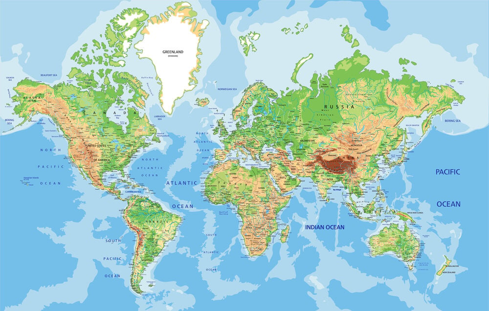
Gerardus Mercator’s 1569 map projection, still widely used today for navigation and general reference, dramatically distorts the relative size of landmasses near the poles, making regions like Greenland appear comparable in size to Africa despite being roughly fourteen times smaller in reality. The distortion has shaped public perception of relative country and continent sizes for over four hundred years.
Ptolemy’s World Map Errors

The ancient geographer Ptolemy’s second-century map of the known world, rediscovered and widely copied during the Renaissance, contained significant errors, including a substantially underestimated circumference of the Earth. Its influence persisted for roughly fourteen hundred years and is often cited as a contributing factor in Columbus’s miscalculation of the distance to Asia.
The Northwest Passage Misconceptions
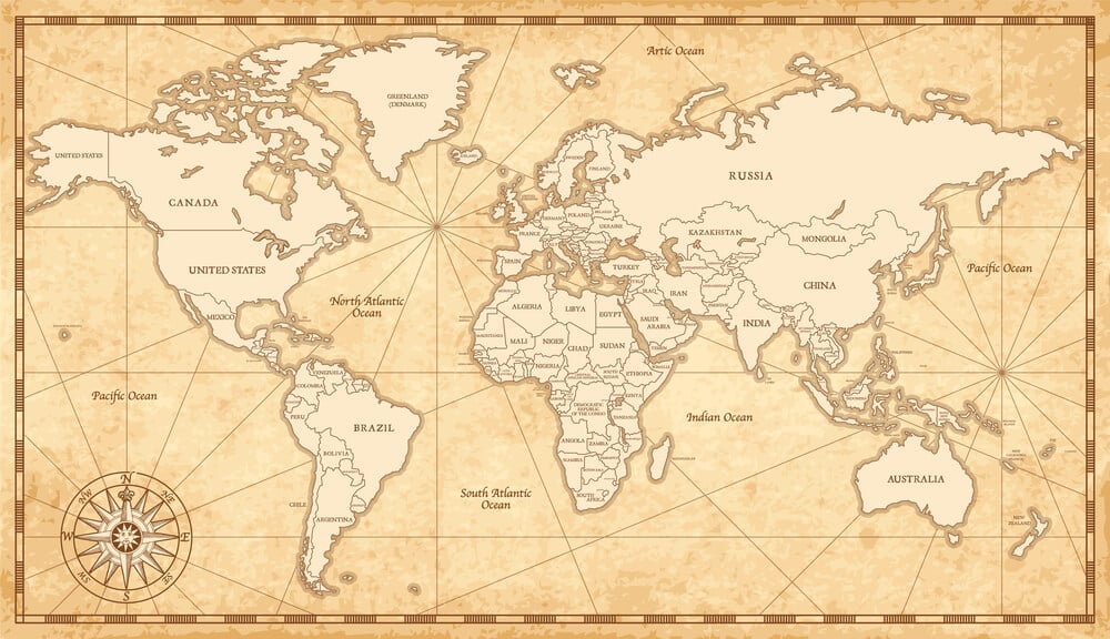
European mapmakers spent centuries depicting confident, often entirely speculative routes for a Northwest Passage connecting the Atlantic to the Pacific through the Arctic, based on little more than hope and secondhand rumor. Repeated expeditions failed to find the routes as drawn, and an actual navigable passage was not confirmed until the early twentieth century, centuries after the earliest speculative maps appeared.
The Kingdom of Prester John
Medieval European maps placed the legendary Christian kingdom of Prester John in various locations across Asia and later Africa over the course of several centuries, based entirely on an unverified letter that circulated widely in the 1100s. Explorers searched for the kingdom for generations, relocating it on successive maps as each search came up empty, before the legend was finally abandoned.
Antillia
A phantom island called Antillia, sometimes called the Island of Seven Cities, appeared on Atlantic maps beginning in the 1400s, tied to a legend of Portuguese bishops who supposedly fled there centuries earlier. It remained a feature of maps for well over a hundred years and influenced early Atlantic exploration before being dropped as a real place.
Saxenburgh Island
A supposed island in the South Atlantic reported by a Dutch sea captain in the 1670s appeared on maps for well over a century afterward despite repeated failed attempts by later expeditions to relocate it. It was eventually concluded to be either a navigational error or a misidentification of an iceberg.
Crocker Land
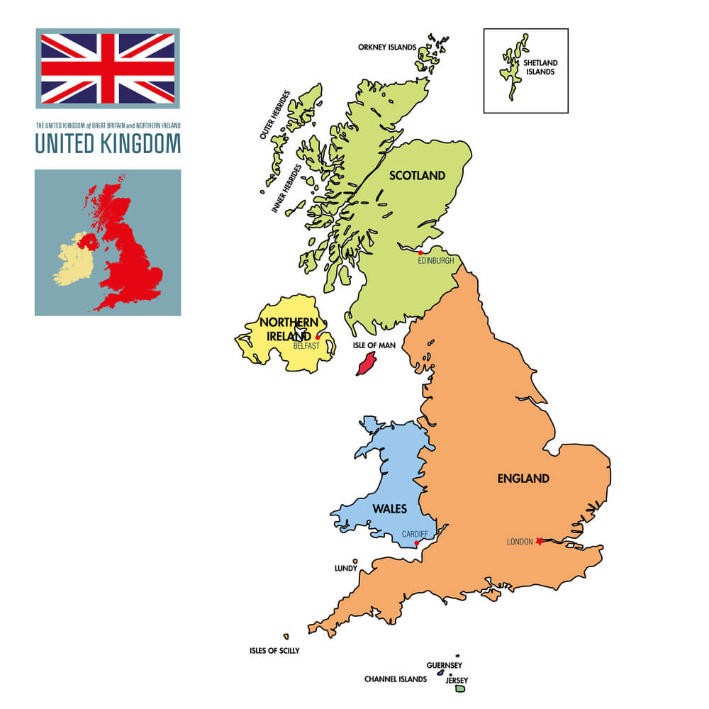
Arctic explorer Robert Peary reported sighting a large landmass in 1906 that was subsequently named Crocker Land and appeared on published maps of the region. A later expedition sent specifically to reach it in 1913 found only open ocean and ice, concluding the landmass had never existed, likely the result of an atmospheric mirage effect common in polar regions.
The Mountains of the Moon
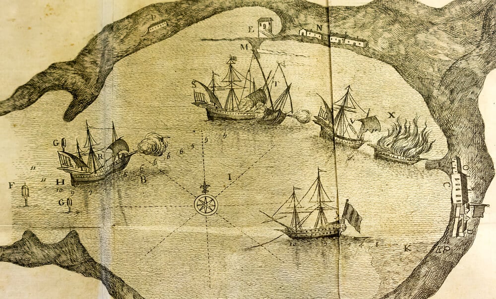
Ancient and medieval geographers, following descriptions traced back to Ptolemy, depicted a mountain range called the Mountains of the Moon as the source of the Nile River in East Africa. The claimed location persisted on maps for roughly eighteen hundred years before nineteenth-century expeditions finally traced the river’s actual sources to different lakes and highlands.
The Nile’s Source Confusion
Beyond the specific Mountains of the Moon myth, European maps offered wildly inconsistent and largely speculative depictions of the Nile River’s true source for centuries, since no European expedition had actually traced it. The question was not conclusively settled until British explorers reached Lake Victoria and related sources in the mid-1800s.
Medieval T-O Maps
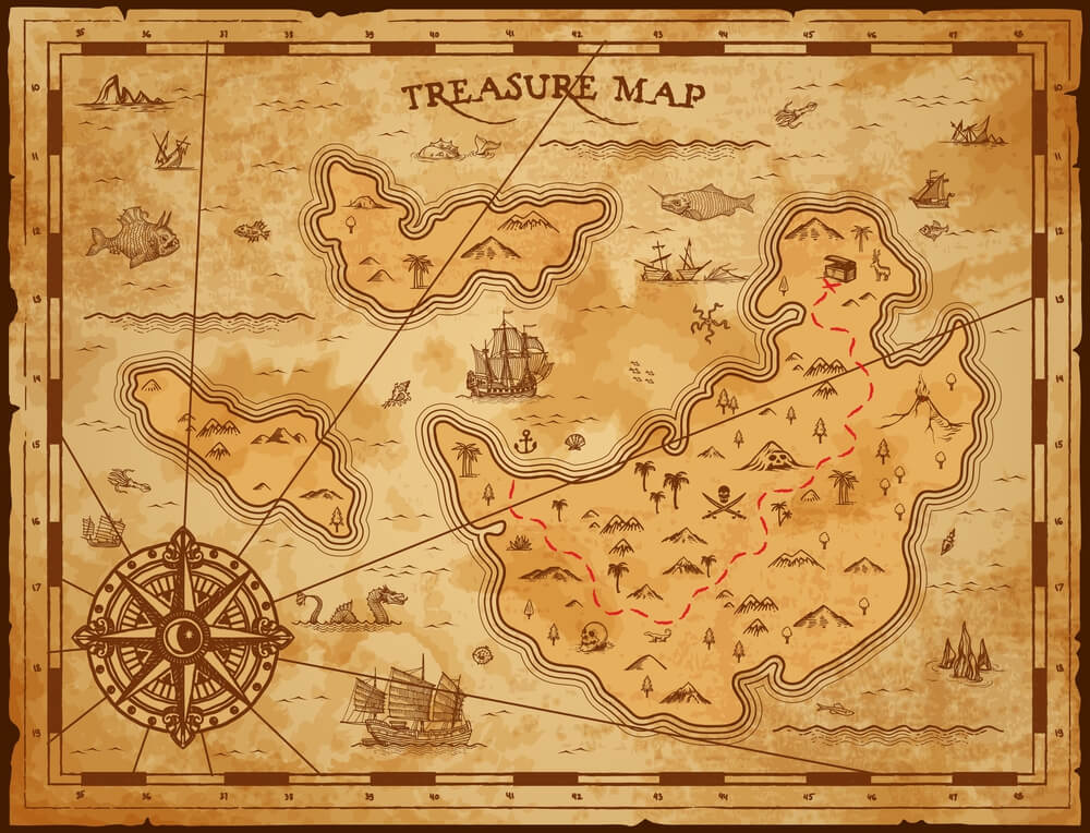
Simplified medieval European maps known as T-O maps depicted the known world as a circular disc divided into three continents by a T-shaped body of water, with Jerusalem placed at the center for theological rather than geographic reasons. This stylized and geographically inaccurate format remained a standard mapmaking convention for several centuries during the medieval period.
The Kingdom of Saguenay
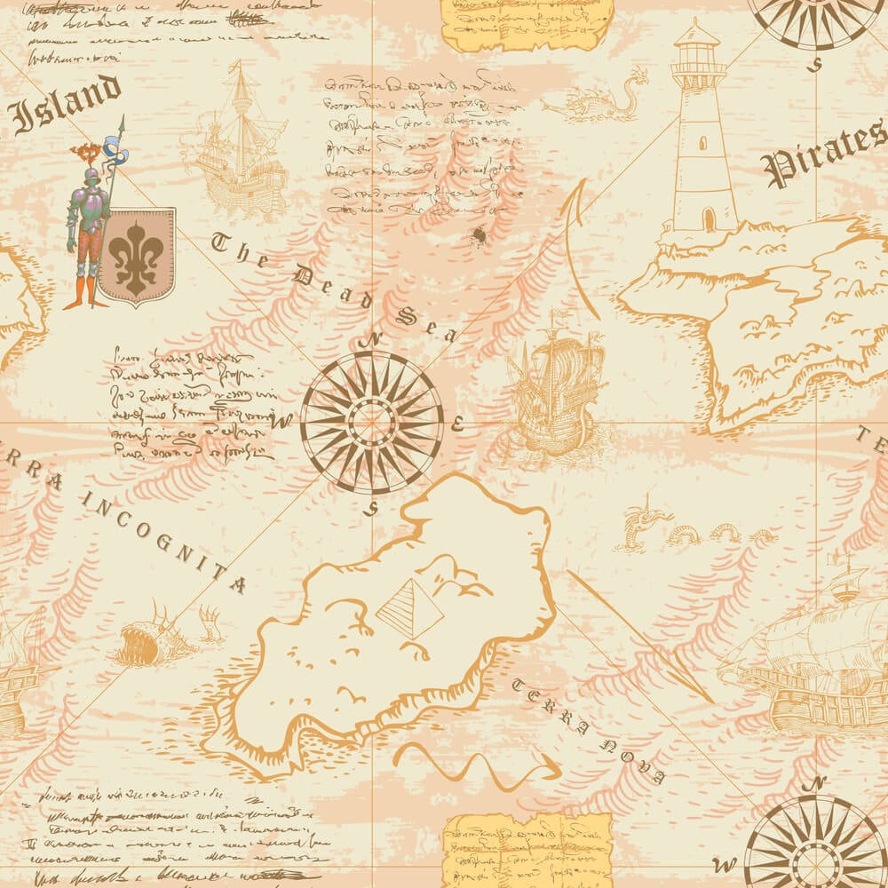
Sixteenth-century French explorers reported hearing of a wealthy kingdom called Saguenay somewhere in the interior of North America, and the supposed kingdom appeared on maps and fueled genuine expeditions for decades. No such kingdom was ever found, and historians now believe the reports were either exaggerated or entirely fabricated by early informants.
Pepys Island
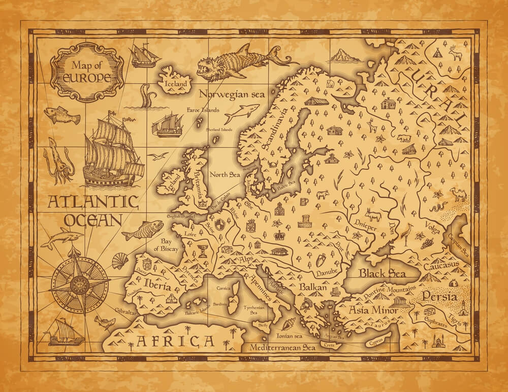
A phantom island near the Falklands, reported by an English privateer in the 1680s and named after a British official, appeared on South Atlantic maps for roughly a century. Later surveys concluded it was likely a mistaken sighting of the actual Falkland Islands rather than a separate landmass.
Aurora Islands
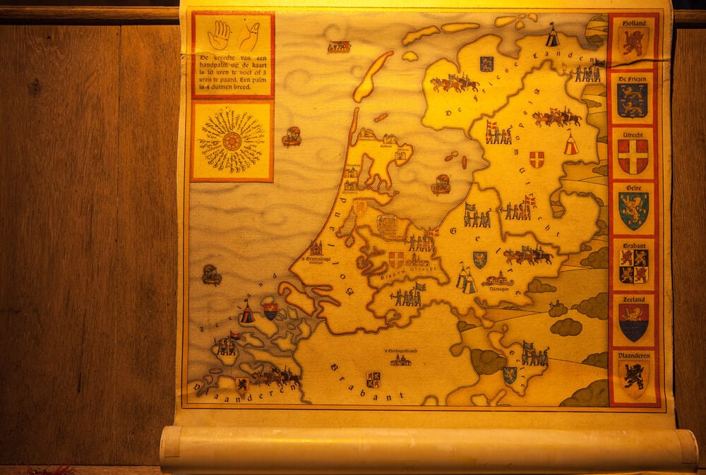
A group of islands supposedly sighted in the South Atlantic in the late 1700s appeared on maps and prompted several searching expeditions over the following decades, including one specifically dispatched to verify their existence. No such islands were ever conclusively located, and they were eventually removed from official charts as a probable navigational error.
Los Jardines
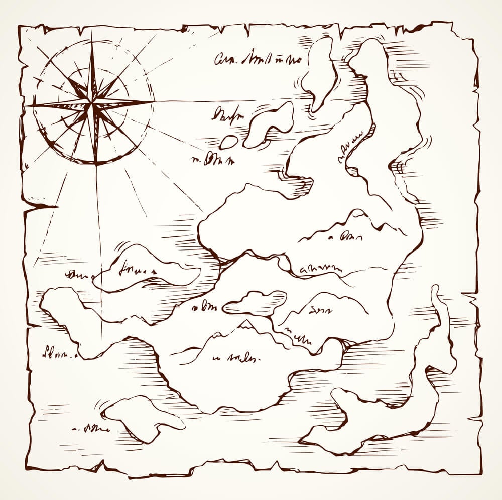
Spanish explorers in the Pacific reported a group of islands called Los Jardines in the sixteenth century that subsequently appeared on maps for generations despite no later expedition managing to relocate them precisely. Their true location, if the reports had any basis at all, remains unresolved among historians of Pacific exploration.
The Piri Reis Map’s Debated Southern Coastline
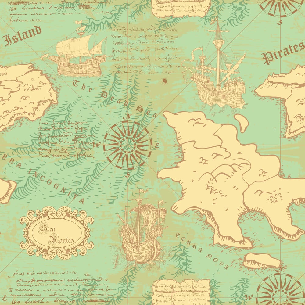
A 1513 map created by Ottoman admiral Piri Reis includes a southern coastline whose accurate interpretation has been debated by cartographic historians for decades, with mainstream scholarship attributing apparent detail to a combination of period sources and coincidental distortion rather than advanced or otherwise unexplained knowledge. The map’s genuinely unresolved details have nonetheless kept it a subject of ongoing academic and popular discussion.
The Incorrect Coastline of Australia
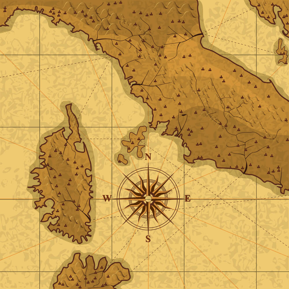
Before Dutch and later British navigators fully charted its coastline across the 1600s and 1700s, European maps depicted Australia’s outline with substantial guesswork, sometimes connecting it speculatively to New Guinea or leaving major stretches of coast entirely blank. A fully accurate outline was not achieved until Matthew Flinders completed a comprehensive circumnavigation survey in the early 1800s.
The Isle of Demons
A supposedly demon-haunted island appeared on North Atlantic maps near Newfoundland beginning in the 1500s, tied to a widely circulated account of a noblewoman marooned there by her uncle. The island remained a recurring feature on maps for over a century before mapmakers gradually dropped it as later voyages found no trace of the reported location.
Thule’s Uncertain Location
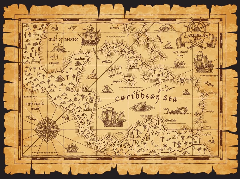
Ancient Greek and Roman sources described a distant northern land called Thule, and for centuries afterward mapmakers placed it in a range of different locations across the North Atlantic and Scandinavia based on shifting and unverifiable interpretations of the original account. Its exact intended location remains genuinely disputed among historians even today.
The Flat Depiction of Africa’s Interior
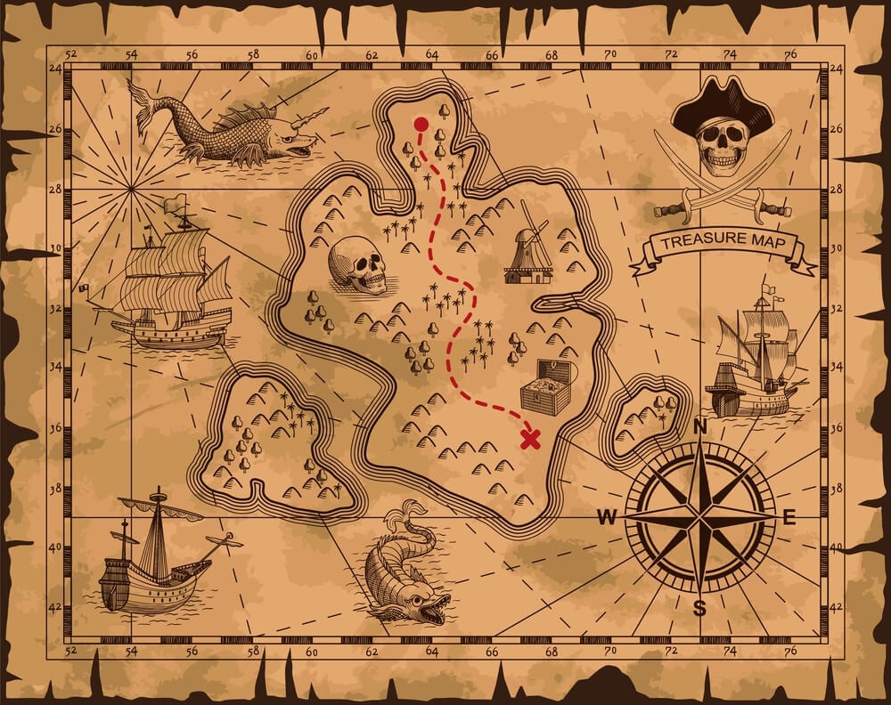
European maps of Africa through much of the colonial era left vast stretches of the continent’s interior either blank or filled with speculative and often invented geographic features, since almost no European expeditions had actually traveled through those regions. Detailed and accurate mapping of the interior was not substantially completed until the late 1800s, centuries after coastal regions had been charted.
The Map Believed Itself
A map does not announce its own uncertainty. Once a phantom island or an invented mountain range appeared on one influential chart, later mapmakers had every professional incentive to copy it rather than personally verify a detail buried in someone else’s decades-old survey.
The error inherited authority simply by being reprinted.What ended each of these mistakes was never a change in cartographic theory.
It was always a ship that actually sailed to the spot on the map and found nothing there. Between the first confident line drawn on paper and the voyage that finally corrected it, centuries could pass with the wrong version treated as settled fact.
More from Go2Tutors!

- The Romanov Crown Jewels and Their Tragic Fate
- 13 Historical Mysteries That Science Still Can’t Solve
- Famous Hoaxes That Fooled the World for Years
- 15 Child Stars with Tragic Adult Lives
- 16 Famous Jewelry Pieces in History
Like Go2Tutors’s content? Follow us on MSN.