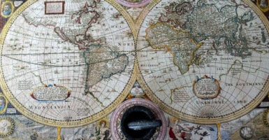
26 Maps Redrawn So Often the Originals Vanished
Borders feel permanent on the map hanging in a classroom, right up until the country it depicts stops existing. Political geography shifts constantly, but most people only notice when an old atlas suddenly looks embarrassingly out of date.
What follows isn’t a list of countries that vanished so much as a list of maps that had to be redrawn so many times, so quickly, that finding an accurate, unaltered original from a specific moment has become genuinely difficult.
The Kingdom of Yugoslavia and Its Successors
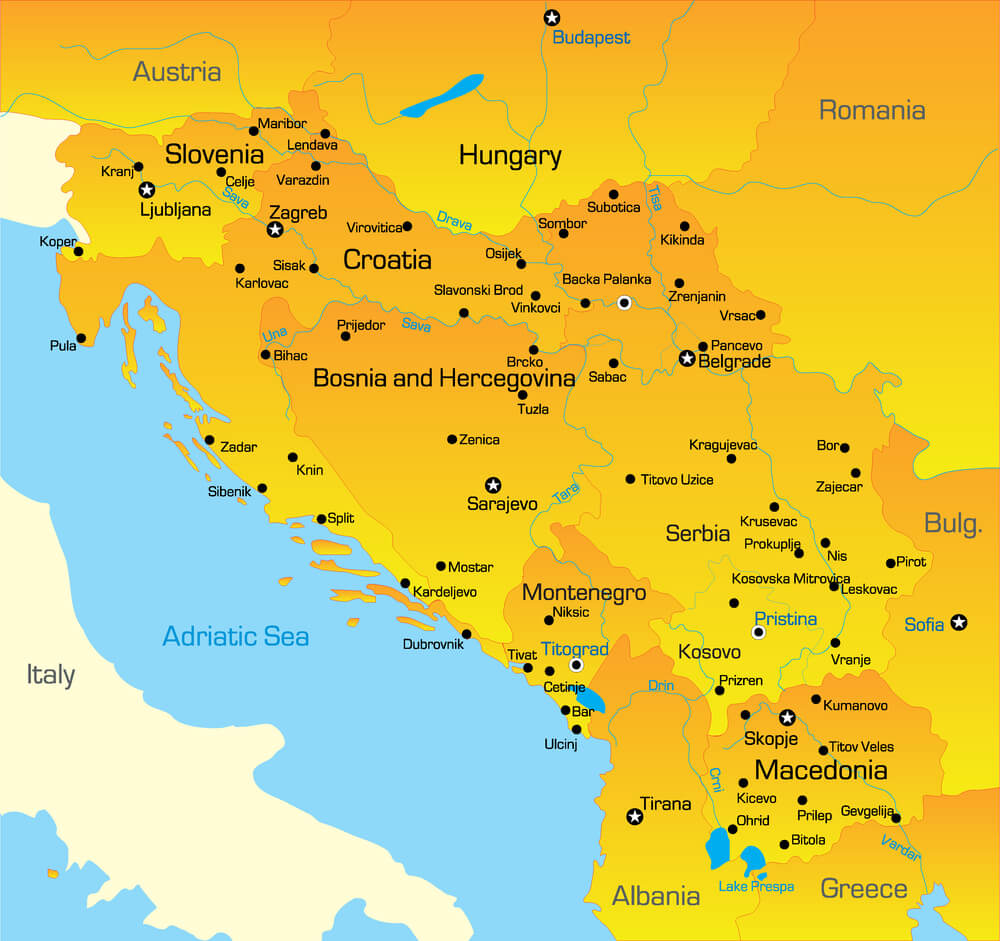
Formed after the First World War and later reorganized as a socialist federation after the Second, Yugoslavia’s borders shifted internally multiple times before the country fractured entirely in the 1990s into several independent nations. Maps printed at almost any point during the twentieth century capture a version of the region that no longer matches current borders.
The pace of change was fast enough that many published atlases were outdated before their next printing.
The Soviet Union
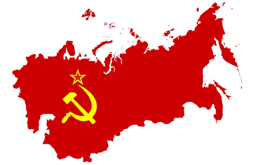
Spanning fifteen constituent republics across an enormous landmass, the Soviet Union’s dissolution in 1991 required an almost immediate redrawing of the entire eastern half of the world map. Maps published even a year or two before the collapse show a political structure that vanished essentially overnight.
The sheer scale of the change made it one of the most significant single cartographic shifts of the twentieth century.
British India Before Partition
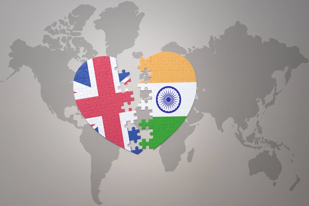
Prior to 1947, maps of British India depicted a single administrative territory that was subsequently divided into India and Pakistan, with Pakistan itself initially including a separated eastern wing. The partition displaced millions of people and redrew the region’s borders in a matter of months.
Maps from just before the transition capture a political geography that changed with unusual speed and consequence.
East Pakistan Before Bangladesh
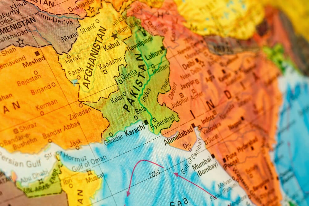
Following the 1947 partition, the eastern wing of Pakistan existed as a geographically separated territory for roughly two decades before a war for independence in 1971 established it as the sovereign nation of Bangladesh. Maps from the intervening period show a country divided by well over a thousand kilometers of Indian territory, an unusual arrangement that didn’t last.
The transition required yet another redrawing of South Asian maps within a single generation.
Czechoslovakia
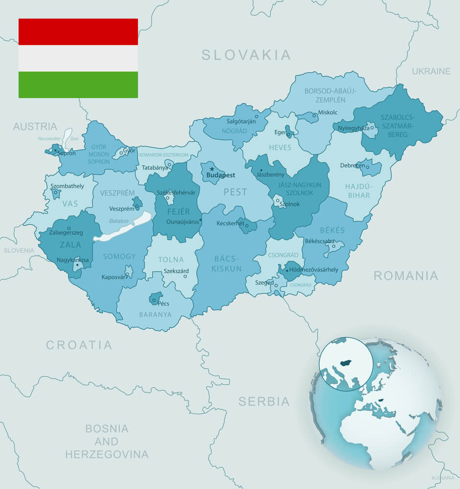
Formed after the First World War from territories of the former Austro-Hungarian Empire, Czechoslovakia existed as a unified state for most of the twentieth century before peacefully splitting into the Czech Republic and Slovakia in 1993. Its relatively calm dissolution, sometimes called the Velvet Divorce, still required maps across Europe to be updated.
Older maps showing the unified country remain a specific point of interest for collectors of Cold War-era cartography.
The Austro-Hungarian Empire
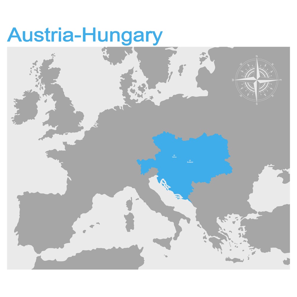
A sprawling multi-ethnic empire covering much of Central and Eastern Europe, Austria-Hungary dissolved at the end of the First World War in 1918, splitting into numerous successor states including Austria, Hungary, and Czechoslovakia. Maps printed before that collapse depict a political structure that essentially ceased to exist within a single year.
The empire’s disappearance reshaped the map of Europe more dramatically than almost any other single event of the era.
The Ottoman Empire
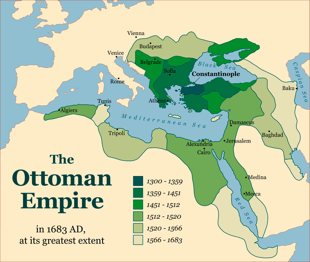
At its height, the Ottoman Empire controlled territory spanning Southeastern Europe, the Middle East, and North Africa, but a long, gradual decline culminated in the empire’s formal dissolution in the early 1920s following the First World War. Maps from different points across that decline show a rapidly shrinking territory, making any single “accurate” Ottoman map highly dependent on its exact publication date.
The empire’s former territories were subsequently divided among numerous new nations.
The Kingdom of Hawaii
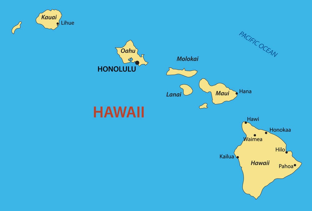
Before its annexation by the United States in 1898, Hawaii existed as an internationally recognized independent kingdom with its own monarchy and diplomatic relationships. Maps published before annexation depict it as a sovereign nation rather than a United States territory.
Original maps from this earlier period are considered a distinct historical category by collectors interested in Pacific cartography.
The Republic of Texas
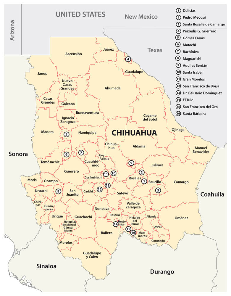
Between its independence from Mexico in 1836 and its annexation by the United States in 1845, Texas existed as its own independent republic with borders that differed somewhat from the current state boundaries. Maps from this brief period depict a sovereign nation rather than a United States state.
The relatively short window of independence makes accurate period maps from this specific era a genuine rarity.
The Dominion of Newfoundland
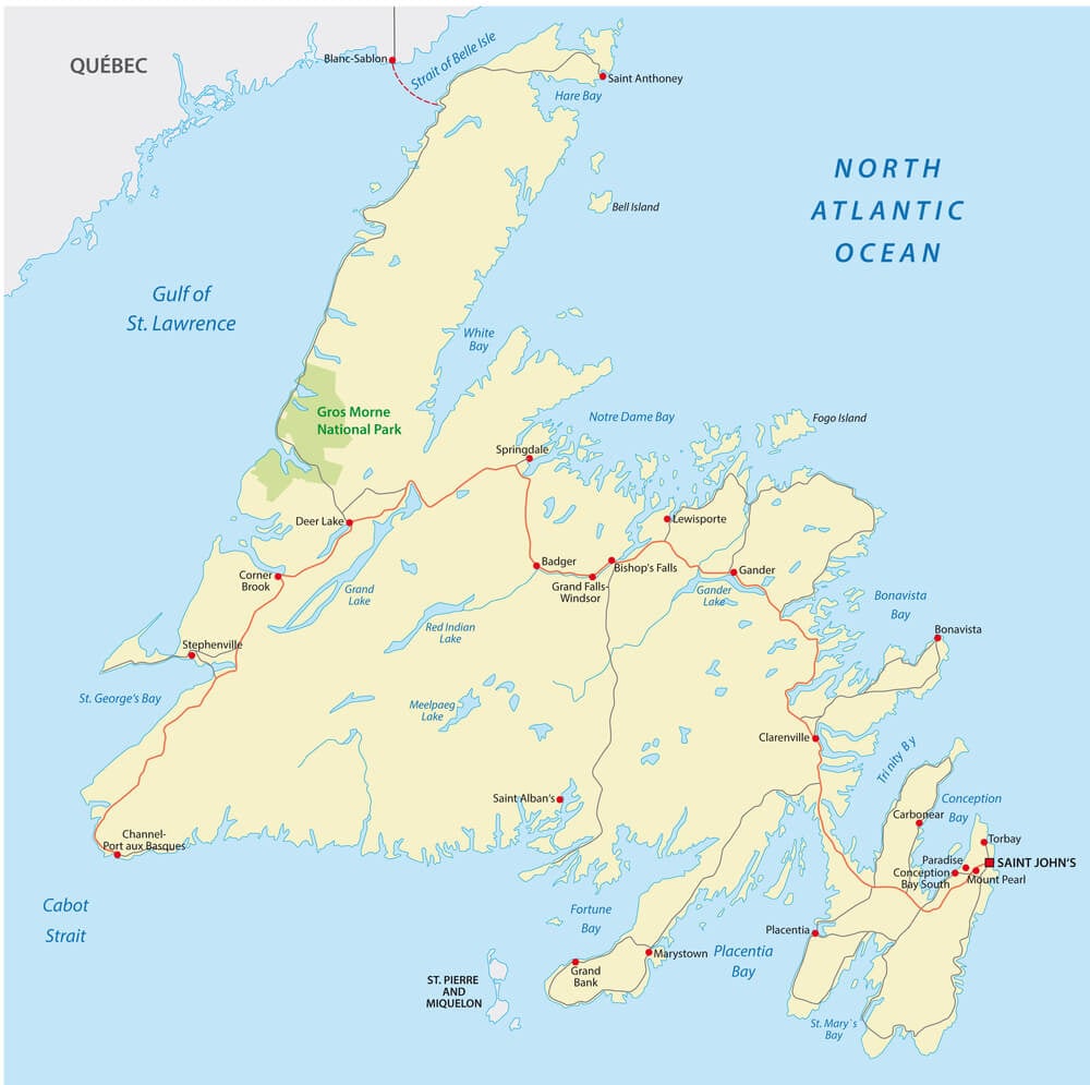
Before joining Canada as its tenth province in 1949, Newfoundland existed as a separate British dominion with its own government, distinct from the rest of Canada. Maps from earlier in the twentieth century depict it as a separate political entity entirely.
Its relatively late union with Canada makes it one of the more recent examples of a formerly independent territory disappearing from the map.
The Sikh Empire
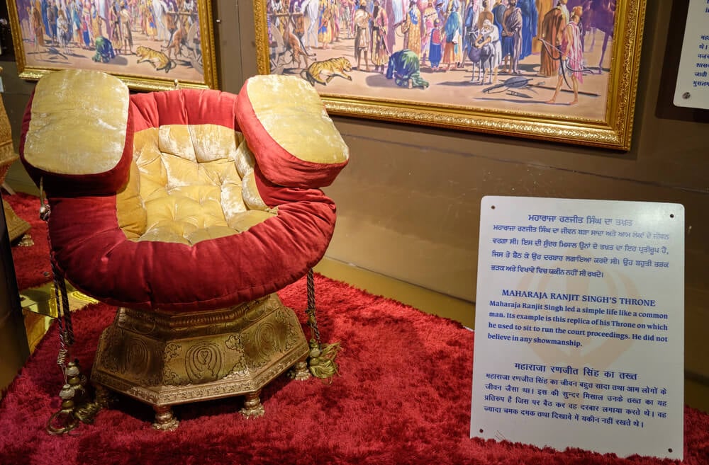
Covering the Punjab region and surrounding territories in the early nineteenth century, the Sikh Empire existed as an independent power before being annexed by the British East India Company in 1849. Maps from before that annexation depict a political structure that predates the borders later established across British India and, eventually, modern India and Pakistan.
Its territory was subsequently absorbed and redivided multiple times as regional borders continued shifting over the following century.
The Kingdom of Sikkim
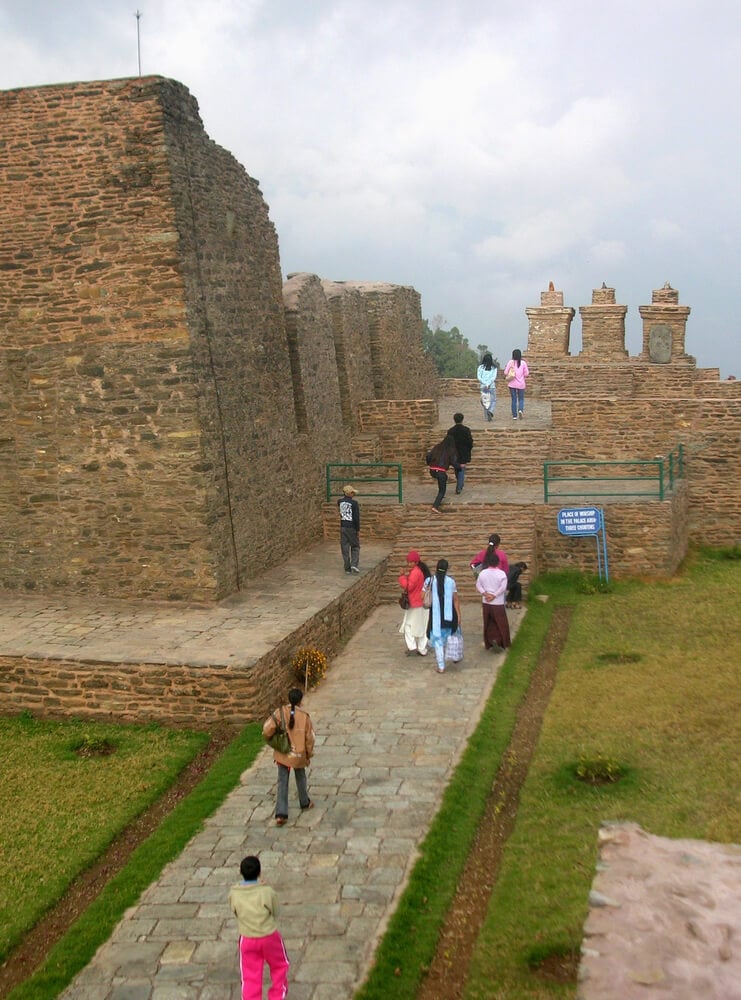
A small Himalayan kingdom that maintained its own monarchy for centuries, Sikkim was formally merged into India in 1975 following a period as an Indian protectorate. Maps from before that merger depict it as a distinct, if small, political entity.
Its disappearance from independent status happened relatively recently compared to many other territories on this list.
Zanzibar Before Union With Tanganyika
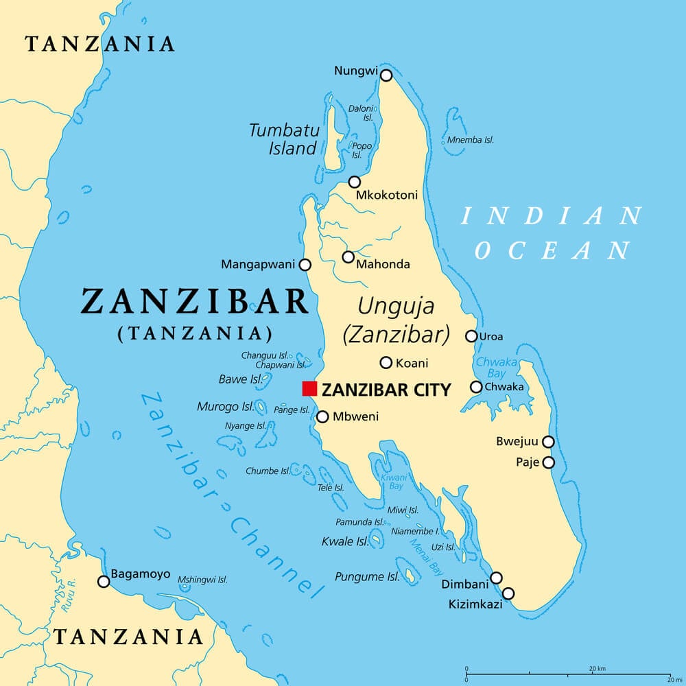
Zanzibar existed as an independent state following its 1963 break from British colonial rule, but merged with mainland Tanganyika the following year to form the united nation of Tanzania. Maps from that brief single year of independence are considered a genuine cartographic rarity given how short the window was.
The merger created a political structure that has remained stable since, but the maps preceding it capture a fleeting moment in East African history.
British Malaya
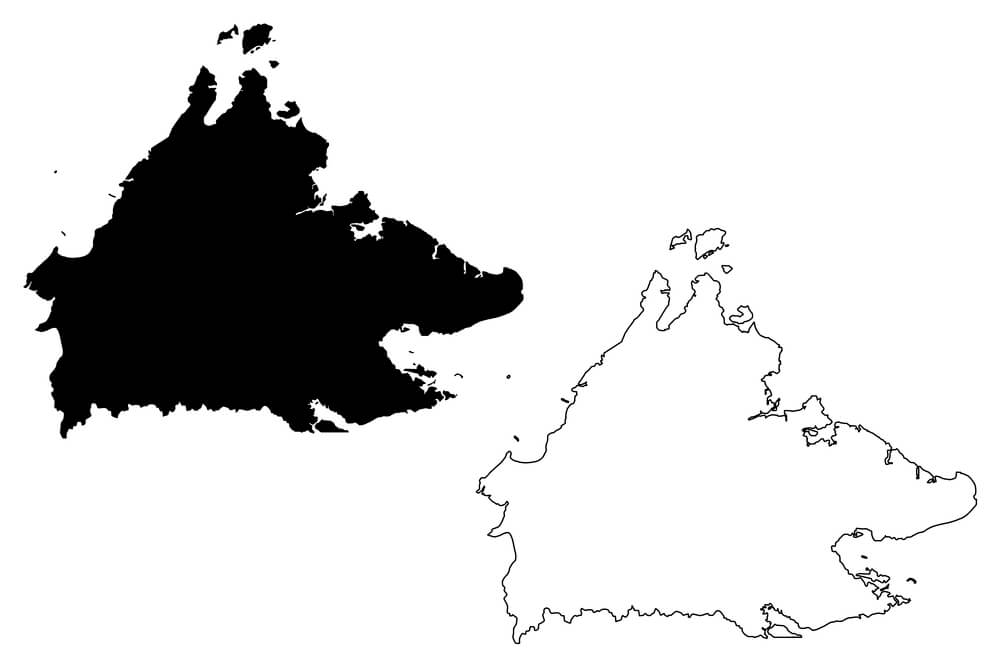
Covering territories on the Malay Peninsula under British colonial administration, British Malaya’s various component territories were consolidated and eventually became independent as the Federation of Malaya in 1957, later reorganized into modern Malaysia. Maps from the colonial period show a different territorial and administrative structure than the modern nation.
The multiple stages of consolidation make pinpointing a single accurate map particularly tricky for historians.
French Indochina
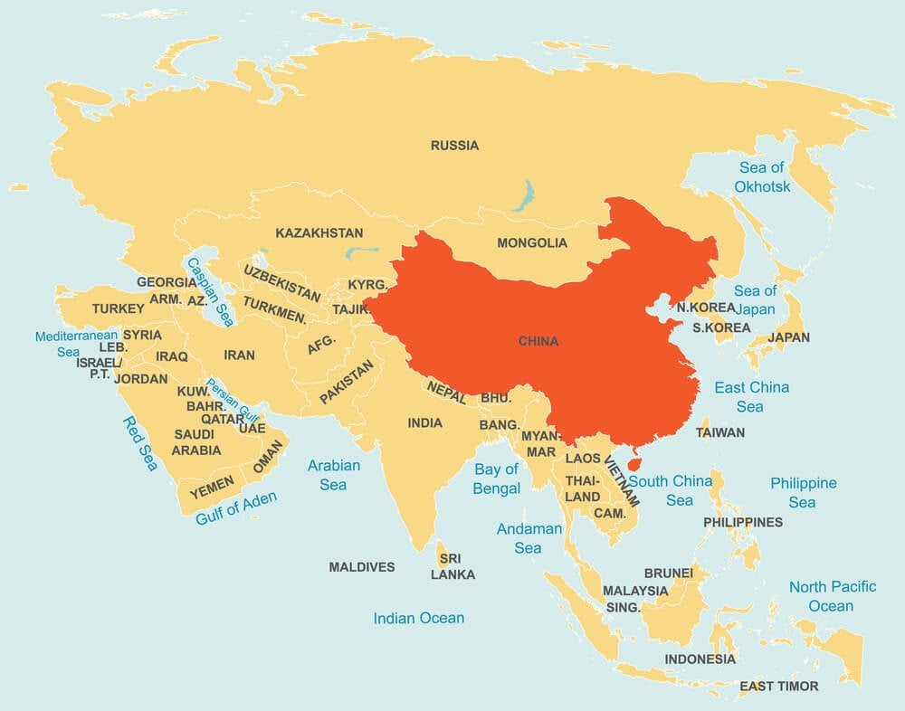
Encompassing modern Vietnam, Laos, and Cambodia under French colonial administration, French Indochina dissolved through a series of independence movements and conflicts spanning the mid-twentieth century. Maps from different points during that prolonged transition show varying territorial configurations, since the region didn’t separate into its current national borders all at once.
The gradual, conflict-driven nature of the transition makes the region’s cartographic history particularly complex.
Rhodesia
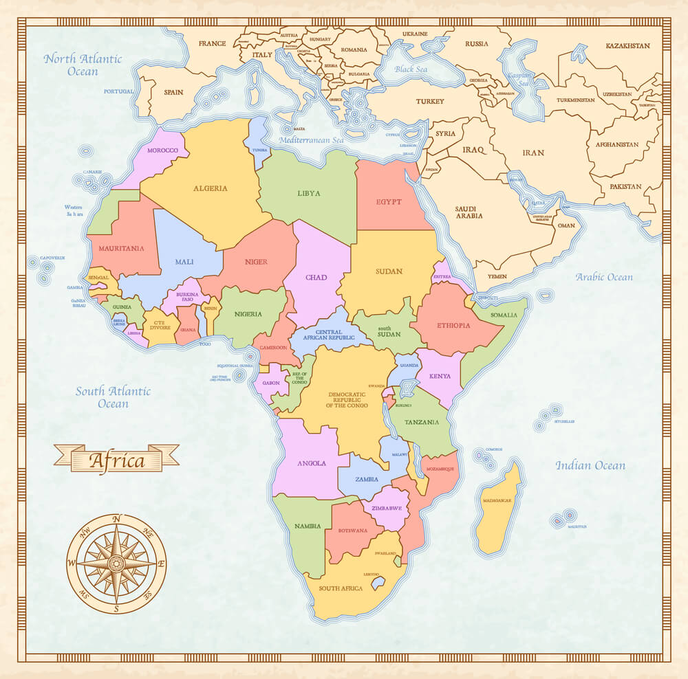
A British colony in Southern Africa, Rhodesia underwent a unilateral declaration of independence in 1965 before eventually transitioning to the internationally recognized nation of Zimbabwe in 1980. Maps from the intervening period reflect a politically contested territory whose international status was disputed even as it appeared on maps.
The eventual renaming and full transition required yet another cartographic update within a relatively short span.
The British Mandate for Palestine
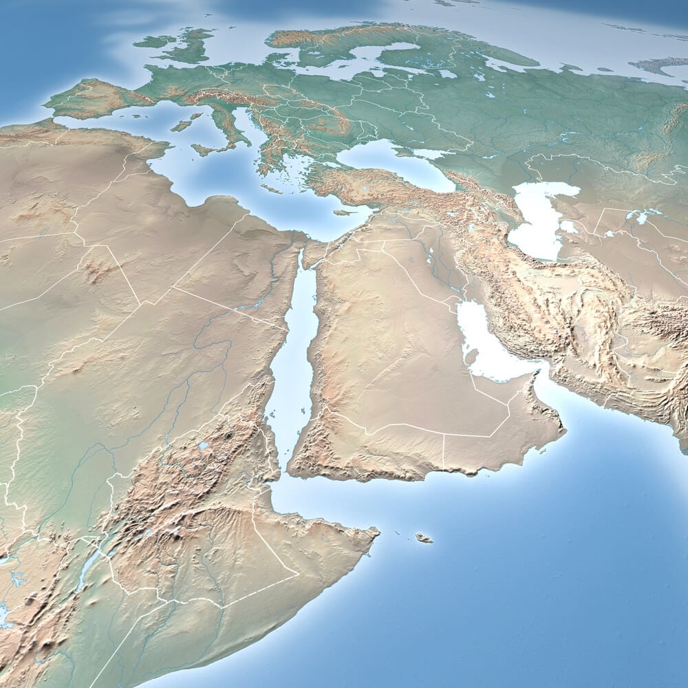
Established after the First World War and administered by Britain until 1948, the mandate territory was subsequently divided amid conflict into the state of Israel and territories that remain subjects of ongoing dispute. Maps from the mandate period depict administrative boundaries that no longer correspond to the current political situation.
The territory has continued to be redrawn and contested in the decades since, making any single historical map a snapshot of one specific, contested moment.
Danzig Free City
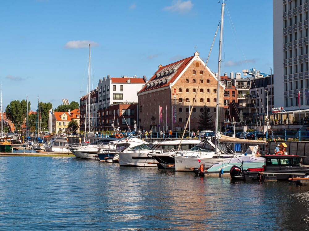
Established after the First World War as an independent city-state under League of Nations oversight, Danzig existed separately from both Germany and Poland until it was annexed by Germany at the outset of the Second World War and later became the Polish city of Gdańsk. Maps depicting it as an independent free city cover a relatively narrow window of just over two decades.
Its unusual status as neither fully German nor fully Polish makes surviving period maps a specific point of historical interest.
The Free Territory of Trieste
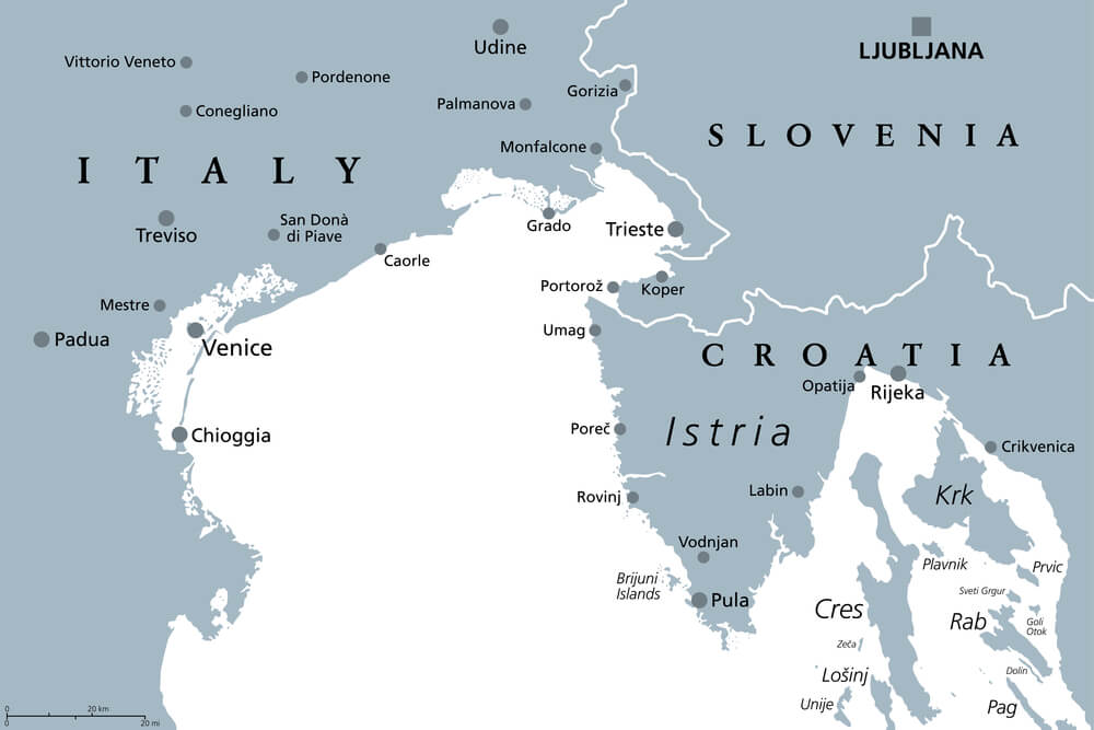
Established after the Second World War as a buffer zone between Italy and Yugoslavia, the Free Territory of Trieste existed as an independent entity for less than a decade before being divided between the two neighboring countries in 1954. Maps depicting it as a separate territory cover an especially narrow window of time.
Its brief existence makes accurate period maps a genuine rarity among Cold War-era European cartography.
The Baltic States Before Soviet Annexation
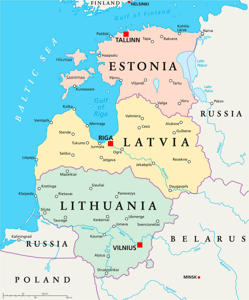
Lithuania, Latvia, and Estonia existed as independent nations following the First World War before being annexed by the Soviet Union in 1940, a status many Western maps continued to dispute throughout the Cold War even as Soviet maps showed them as fully incorporated republics. This created two competing versions of the same region’s map depending on which country published it.
The states regained independence in 1991, closing a chapter that had left cartographers on both sides of the Cold War divide working from different assumptions for decades.
Prussia
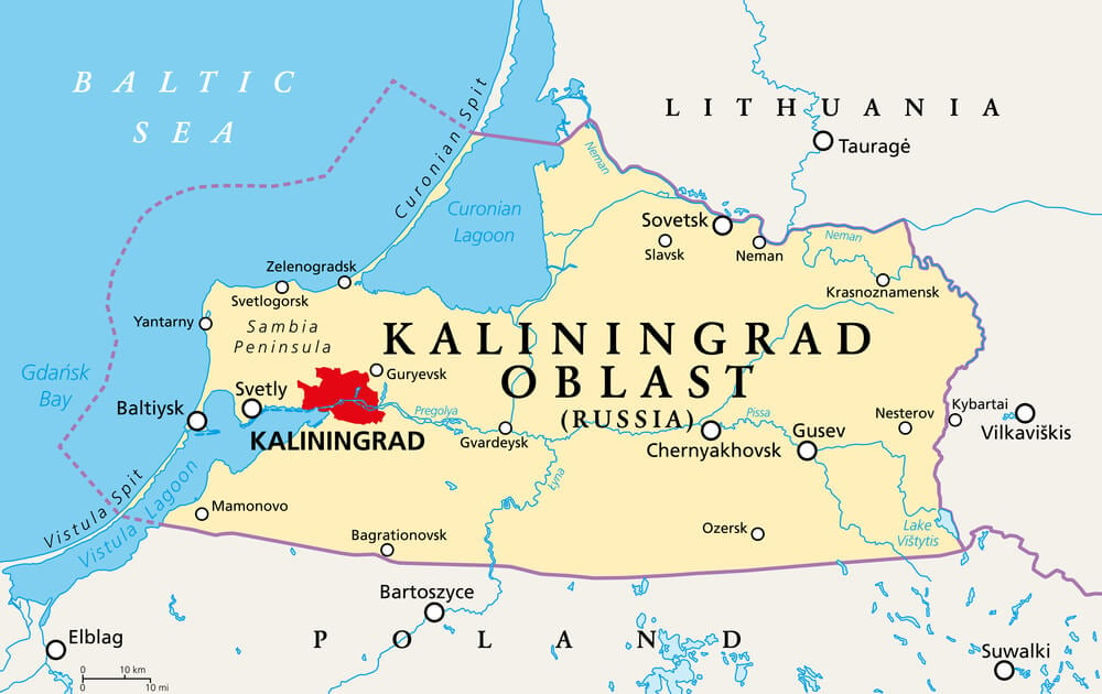
Once one of the most powerful states in Europe, the Kingdom of Prussia was formally abolished in 1947 following the Second World War, with its former territory divided among Poland, the Soviet Union, and postwar Germany. Maps from before its abolition depict a territory and political structure that ceased to exist as a distinct entity afterward.
Its former territory has since been redrawn multiple additional times as postwar German and Polish borders were finalized.
The Kingdom of Sarawak
An independent kingdom on the island of Borneo ruled by a British family for roughly a century, Sarawak was ceded to British colonial administration in 1946 before eventually becoming part of Malaysia in 1963. Maps from the era of independent rule depict an unusual political arrangement rarely repeated elsewhere in colonial history.
Its relatively obscure status makes surviving period maps a specific niche interest among collectors of colonial-era cartography.
The Republic of Hatay
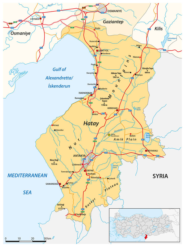
A short-lived state that existed for roughly a year in the late 1930s along the border of modern Turkey and Syria before voting to join Turkey, Hatay’s independence was brief enough that few maps were ever printed showing it as a distinct nation. Its territory has remained part of Turkey since, and the dispute over its status has continued to affect regional maps in Syria to this day.
The brevity of its independent existence makes any surviving period map an especially rare find.
Constantinople Before Its Official Renaming
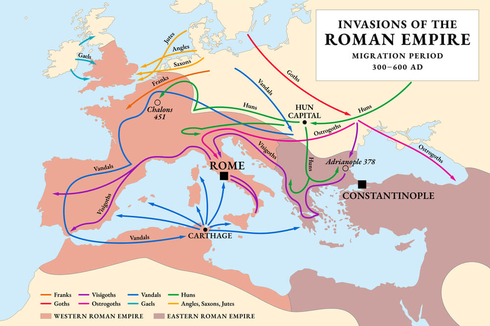
Though colloquially called Istanbul for centuries before the change, the city’s name wasn’t formally standardized internationally as Istanbul until the early twentieth century following the establishment of the modern Turkish republic. Maps predating that formal change often labeled the city under its older name, reflecting the broader collapse of the Ottoman Empire that reshaped the surrounding region.
The shift illustrates how even a single city’s labeling can mark a broader cartographic turning point.
The Union of South Africa Before Restructuring
Formed in 1910 as a self-governing dominion combining several British colonies, the Union of South Africa was restructured into a republic in 1961 and later underwent significant internal boundary changes following the end of apartheid in the 1990s. Maps from the earlier dominion period show provincial boundaries that differ notably from the country’s current structure.
The multiple stages of internal reorganization make South Africa’s cartographic history unusually layered for a single nation.
Manchukuo
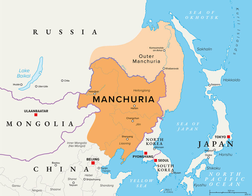
A short-lived puppet state established in Northeastern China under Japanese influence in the early 1930s, Manchukuo existed for roughly a decade before being dissolved at the end of the Second World War and reincorporated into China. Maps produced during its brief existence, largely by Japanese cartographers, present a political structure not recognized by most of the international community even at the time.
Its disputed legitimacy makes surviving maps a specific point of historical controversy as well as scarcity.
What a Border Actually Records
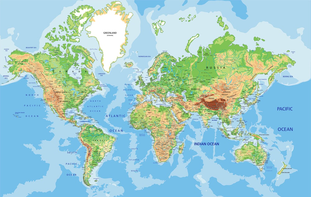
A map isn’t really a picture of land; it’s a record of whoever had the authority to draw a line on a given date, which is precisely why so many of these borders turned out to be temporary. The land itself never moved.
What changed was who controlled it, what they called it, and how long that arrangement managed to hold.
Every outdated atlas sitting in a used bookstore is quietly documenting the fact that political permanence was never guaranteed in the first place. The lines looked solid enough at the time they were printed, which is exactly what makes them worth a second look now.
More from Go2Tutors!

- The Romanov Crown Jewels and Their Tragic Fate
- 13 Historical Mysteries That Science Still Can’t Solve
- Famous Hoaxes That Fooled the World for Years
- 15 Child Stars with Tragic Adult Lives
- 16 Famous Jewelry Pieces in History
Like Go2Tutors’s content? Follow us on MSN.