Unusual Borders Between Countries
Most national boundaries trace rivers, snake along mountains, or stick to dead-straight lines set long ago by distant empires. They look clean, fit neatly on paper maps, and seem almost sensible at first glance.
Yet around the world, you’ll find frontiers that ignore every natural rule – spots where a nation wraps completely around another, zones switching hands depending on the season, even towns where grabbing milk means passing through border controls. Twists from old treaties and odd deals built these bizarre setups, leaving locals tangled in red tape just getting through their days.
Take a peek at strange borders across the globe – along with the odd tales that made them what they are.
Baarle-Nassau and Baarle-Hertog
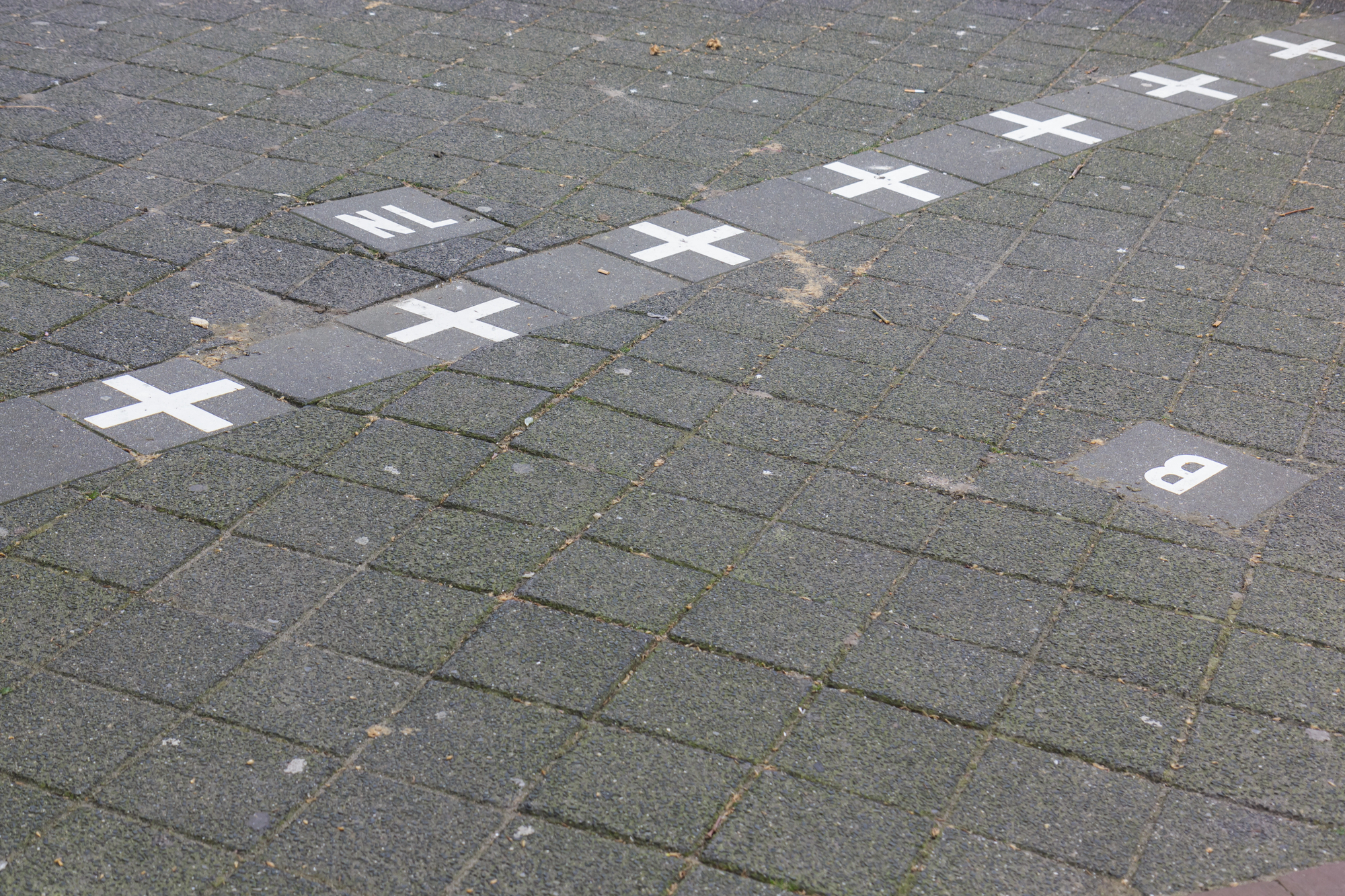
The boundary between Belgium and the Netherlands turns strange around Baarle-Nassau and Baarle-Hertog – here, national lines twist unpredictably through roads, houses, sometimes splitting single rooms in two. This patch holds more than thirty pockets of land completely surrounded by the opposite country, Belgian plots tucked inside Dutch areas like mismatched jigsaw bits.
Pale X-shaped signs stamped on sidewalks show where a new nation starts, but people who live here manage the odd layout without breaking stride. Some homes sit right on the edge, split between nations – custom says the side with the entrance decides which nation claims it all.
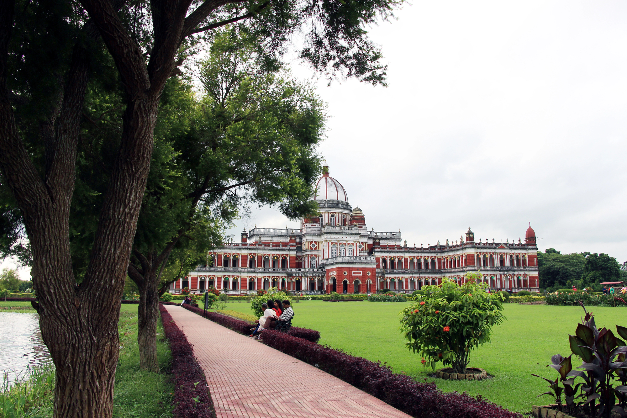
The India-Bangladesh Enclave Exchange
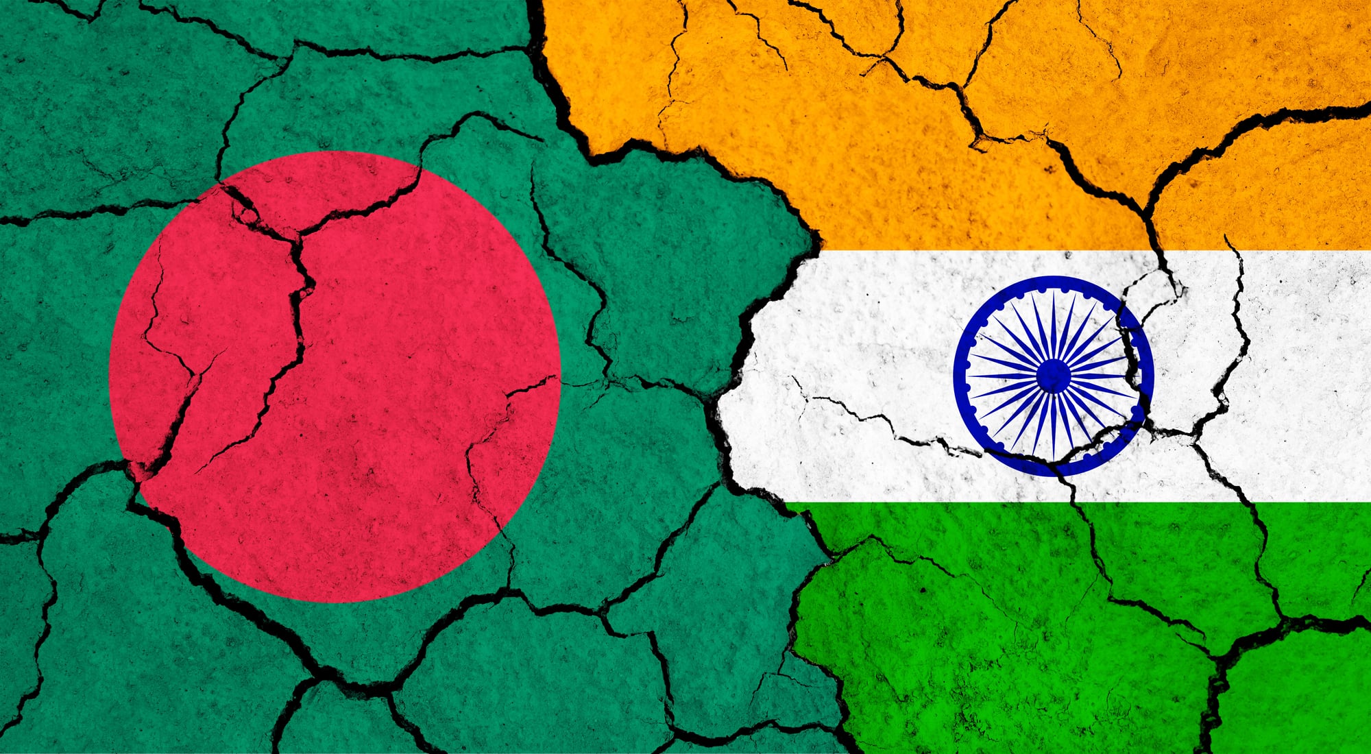
Before 2015, the line between India and Bangladesh had possibly the weirdest land setup ever seen. There were 162 tiny pockets – land belonging to one nation but totally boxed in by the other – with even a rare triple-layered piece.
People stuck in these split-off zones existed without clear rights for years, cut off from essential help from both sides. Years of talks led to a breakthrough in 2015, when both nations swapped these odd territories, giving roughly fifty thousand people the chance to pick where they belonged.
Pheasant Island
In the heart of the Bidasoa River – splitting France from Spain – there’s a small empty islet with an odd rule no place else follows. Every half year, this patch switches hands thanks to a deal made way back in 1659, bouncing between Spanish and French authority.
It flies the French flag from February up till July; then, come August into January, Spain takes charge. No residents, rare visitors, plus flag swaps each June and December feel like way too much work for such a tiny spot.
Point Roberts, Washington
Point Roberts belongs to the U.S., lies under the 49th parallel, yet you’ve got to go through Canada to get there by road. This small stretch of land – around five square miles – sticks out beneath the Canadian line like an overlooked leftover bit, where some 1,300 Americans live; they need two border crossings just to drive into another part of America.
School kids ride a bus that rolls through Canada before reaching their classrooms down south. Need food or meds from an American store – better pack your passport.
Lesotho, Vatican City, and San Marino
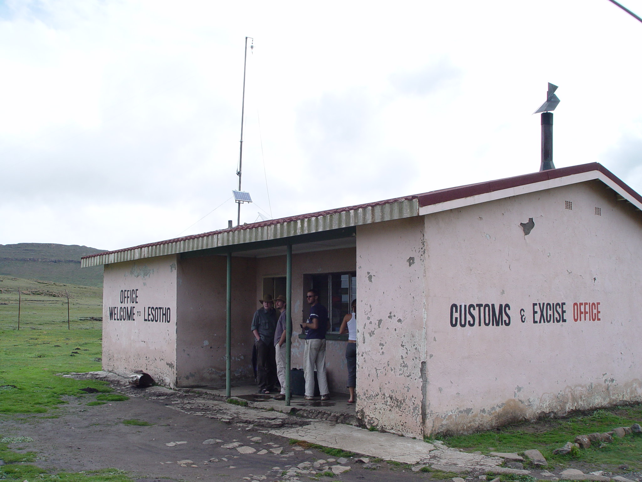
Lesotho’s whole area fits inside South Africa, shaped like a landlocked island amid another nation’s terrain. Vatican City lies tucked away in Italy, serving as the spiritual center for millions worldwide through its religious role.
Meanwhile, San Marino also hides within Italian borders, surviving as an ancient microstate that missed getting merged during national consolidation times. Though cut off from direct contact with any other countries, each holds full control over its own affairs anyway.
The Gambia
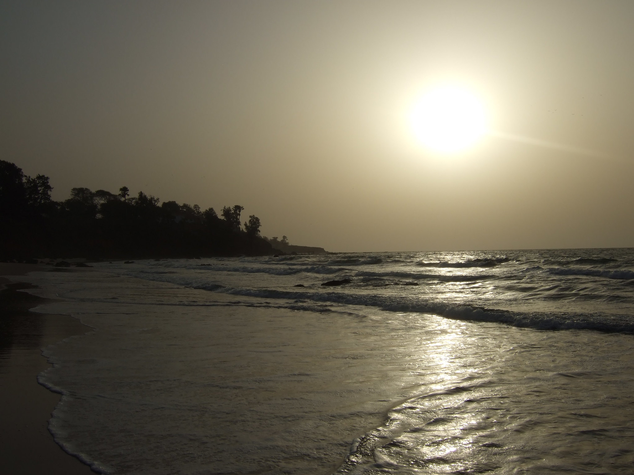
The Gambia’s just a river bundled in land, slicing across Senegal like a mistake on a map. It trails along the Gambia River about 300 miles into the continent – nowhere broader than 30 miles – with Senegal hugging it on all sides but one tiny stretch touching the Atlantic Ocean.
That line between them came from old fights between British and French colonizers who couldn’t settle claims. The outcome? One of Africa’s weirdest boundaries – a real pain for Senegal, stuck having to cut through Gambia just to move people or goods from north to south.
Kaliningrad and Alaska
Sometimes strange borders happen when a place gets cut off completely from its home nation. Take Kaliningrad – a chunk of Russia sitting along the Baltic, walled off from the rest of Russia by Lithuania and Poland; this came out of border shifts after WWII.
Then there’s Alaska – U.S. ground split from the contiguous states by Canada, bought from Russia back in 1867. Each one’s an exclave: tied to their country through politics, yet isolated in location.
Hans Island
Denmark and Canada fought over Hans Island for decades – a tiny rock between Greenland and Canada that neither side wanted to lose. Both countries would visit, plant their flag, leave a bottle of whiskey or schnapps, then head home.
The other side would show up, swap the flag, switch the booze, and repeat. This went on for years until 2022, when they finally split the island down the middle.
The Korean Demilitarized Zone
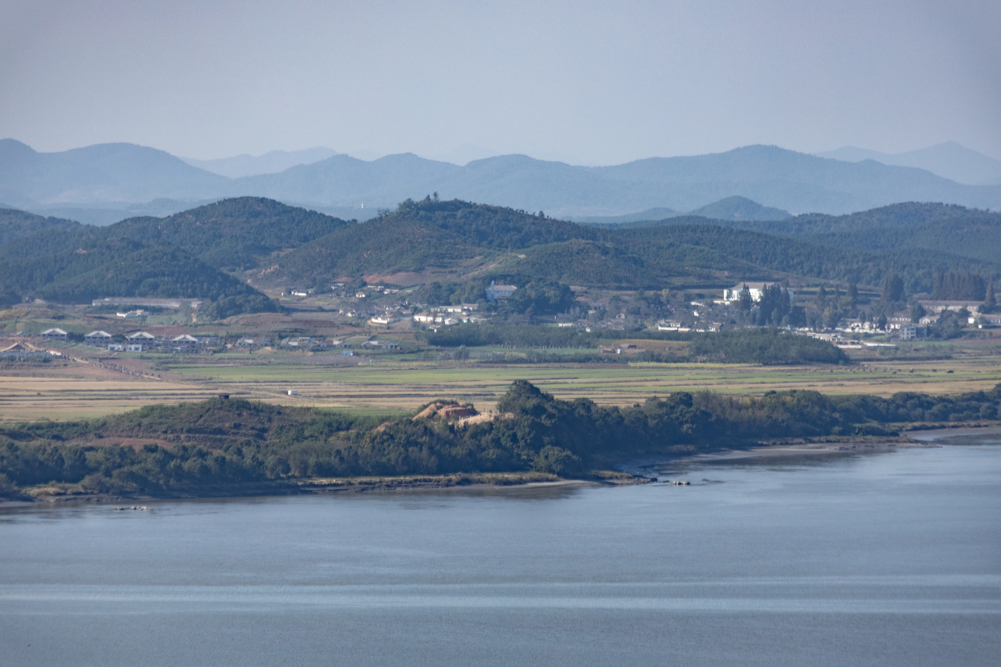
The DMZ between North and South Korea is technically just a temporary ceasefire line from 1953, not an actual border. This 2.5-mile-wide strip cuts across the peninsula, loaded with mines and guarded by soldiers on both sides.
Nobody lives there, hardly anyone crosses it, yet it’s become one of the most watched boundaries on Earth. What was meant to be temporary turned into one of the world’s most permanent divisions.
Bir Tawil
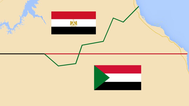
Bir Tawil sits between Egypt and Sudan, yet neither country wants it. Both nations claim a different nearby area called the Haleib Triangle instead, since it’s bigger and touches the Red Sea.
Claiming Haleib means giving up Bir Tawil legally, so both countries ignore this desert patch. It’s probably the only place on Earth where you could plant a flag and nobody would care.
Campione d’Italia
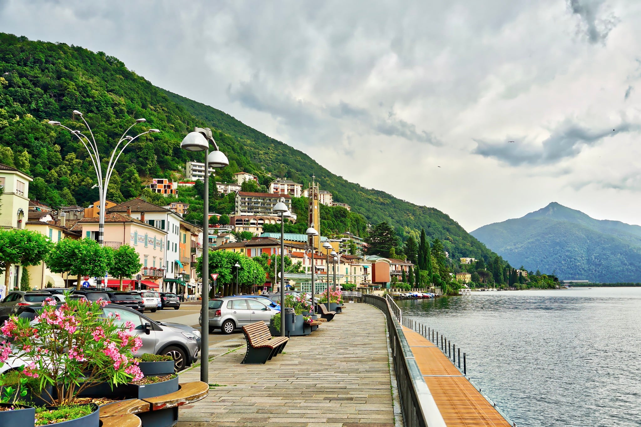
Campione d’Italia is an Italian town completely surrounded by Switzerland, sitting on the shore of Lake Lugano. For years, it used Swiss currency, Swiss phone numbers, and Swiss postal codes even though it belonged to Italy.
The setup created a tax haven where Italians could gamble without breaking their country’s laws. When the EU tightened rules, the odd arrangement fell apart – now residents deal with Italian taxes but still need to go through Switzerland for everything.
The Northwest Angle
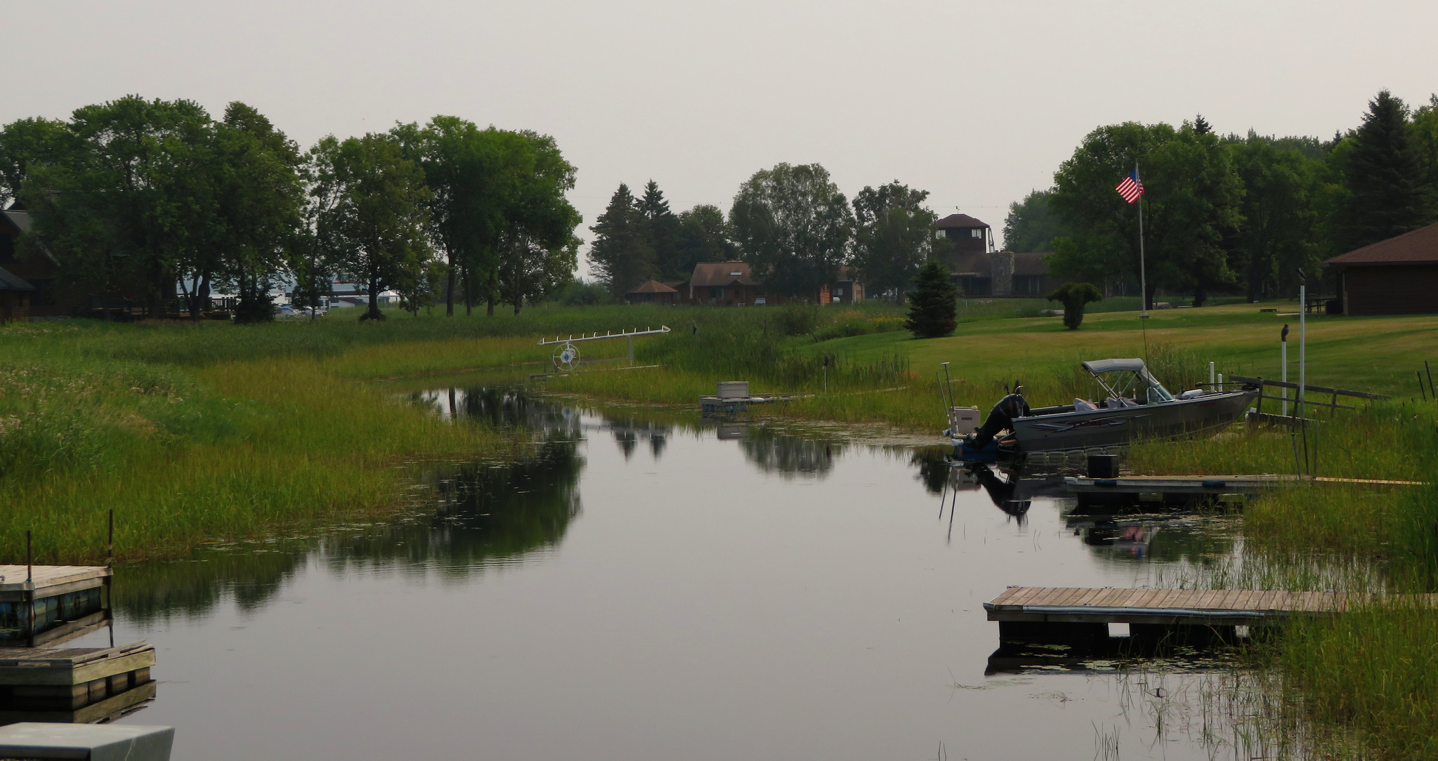
Minnesota’s Northwest Angle is the northernmost point of the contiguous United States, yet it’s cut off from the rest of Minnesota by a lake. The only land route goes through Canada.
This chunk exists because surveyors in 1783 made a mapping error when defining the U.S.-Canada border. They thought the source of the Mississippi River was further north than it actually is.
Cooch Behar
Before the India-Bangladesh swap, Cooch Behar was home to the world’s only third-order enclave – Indian land inside a Bangladeshi piece inside an Indian section inside Bangladesh. This 7,000-square-foot farm belonged to India but required crossing three different borders to reach the rest of India.
The elderly man living there spent decades without proper citizenship, unable to vote or access government services. When the 2015 land exchange happened, he finally became a Bangladeshi citizen.
Vennbahn Railway
A Belgian railway line cuts through German territory, creating five German exclaves in the process. The track itself counts as Belgian land even though it runs through Germany for several miles.
Houses along the route can have their front door in Belgium and back door in Germany. The railway barely runs anymore, yet the border quirk remains.
Büsingen am Hochrhein
Büsingen is a German town completely surrounded by Switzerland that’s been an exclave since 1693. Residents use Swiss currency and postage, follow some Swiss laws, yet remain German citizens.
They can choose whether to send kids to German or Swiss schools and which country’s legal system applies to them in certain cases. The town tried voting to join Switzerland in 1919, but the deal fell through.
Jungholz
Jungholz is an Austrian village connected to the rest of Austria by a single point at a mountain peak. Technically, it only touches Austria at one spot, making it almost entirely surrounded by Germany.
The village relies on Germany for nearly everything – police, fire services, postal delivery. It’s become a popular spot for people wanting to say they visited a place that barely belongs to the country it’s in.
Märket Island
Märket is a tiny island in the Baltic Sea split between Finland and Sweden, with the border running right through an old lighthouse. When the lighthouse was built, Sweden accidentally placed it on Finland’s side.
Rather than move the lighthouse, they redrew the border with a strange S-curve so both countries got equal land and the lighthouse ended up Swedish. The island’s too small for anyone to live on, yet both nations carefully maintain this bizarre compromise.
Why Geography Still Surprises
These odd boundaries stick around since fixing them takes way more work than just leaving things as they are. Agreements happen, conflicts wrap up, old powers fall apart – yet the maps stay put long after those decisions were made.
Tiny pockets of land keep their quirks because neither country feels like rewriting deals from ages ago. What once seemed ridiculous starts feeling ordinary once generations grow up living within it.
More from Go2Tutors!

- The Romanov Crown Jewels and Their Tragic Fate
- 13 Historical Mysteries That Science Still Can’t Solve
- Famous Hoaxes That Fooled the World for Years
- 15 Child Stars with Tragic Adult Lives
- 16 Famous Jewelry Pieces in History
Like Go2Tutors’s content? Follow us on MSN.