Geography Terms People Get Wrong
You’d think geography would be straightforward. A mountain is a mountain.
An ocean is an ocean. But language has a way of tripping us up, and geography terms carry more confusion than you might expect.
People use these words every day without realizing they’re getting them wrong, and honestly, it’s not always their fault. Some terms sound similar, others have meanings that shifted over time, and a few just got misused so often that the wrong version stuck.
Continents vs. Islands
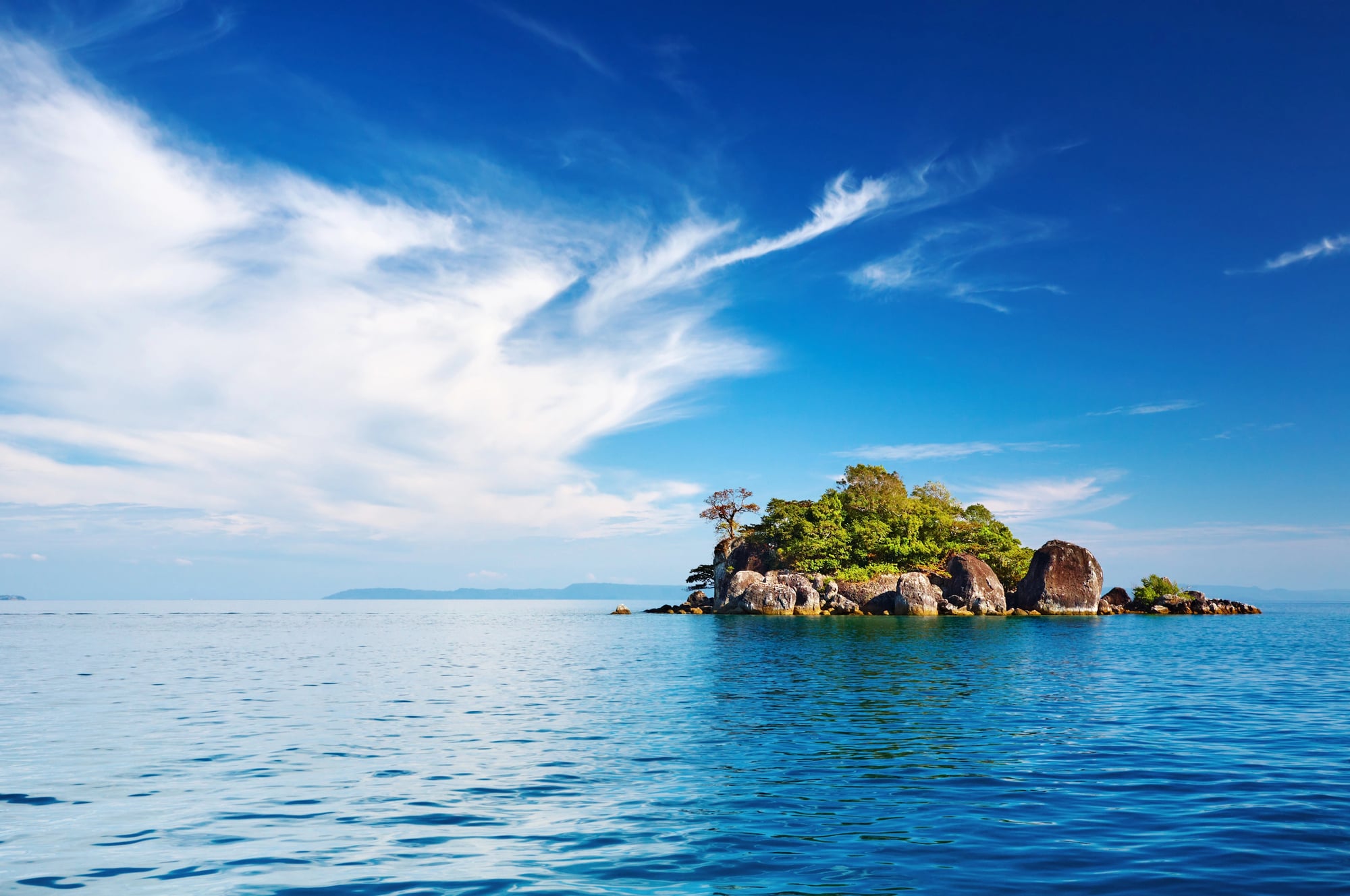
Here’s where things get messy fast. People often say Australia is the world’s largest island, but that’s not quite right.
Australia is a continent. Greenland holds the title of largest island, and the distinction matters more than you’d think.
The difference comes down to tectonic plates and continental shelves. Continents sit on their own tectonic plates, while islands are smaller landmasses surrounded by water.
Australia qualifies as a continent because it sits on the Australian Plate. Greenland, despite its size, rests on the North American Plate, making it an island.
This confusion trips up a lot of people because size seems like it should be the deciding factor. But geography cares more about geology than appearance.
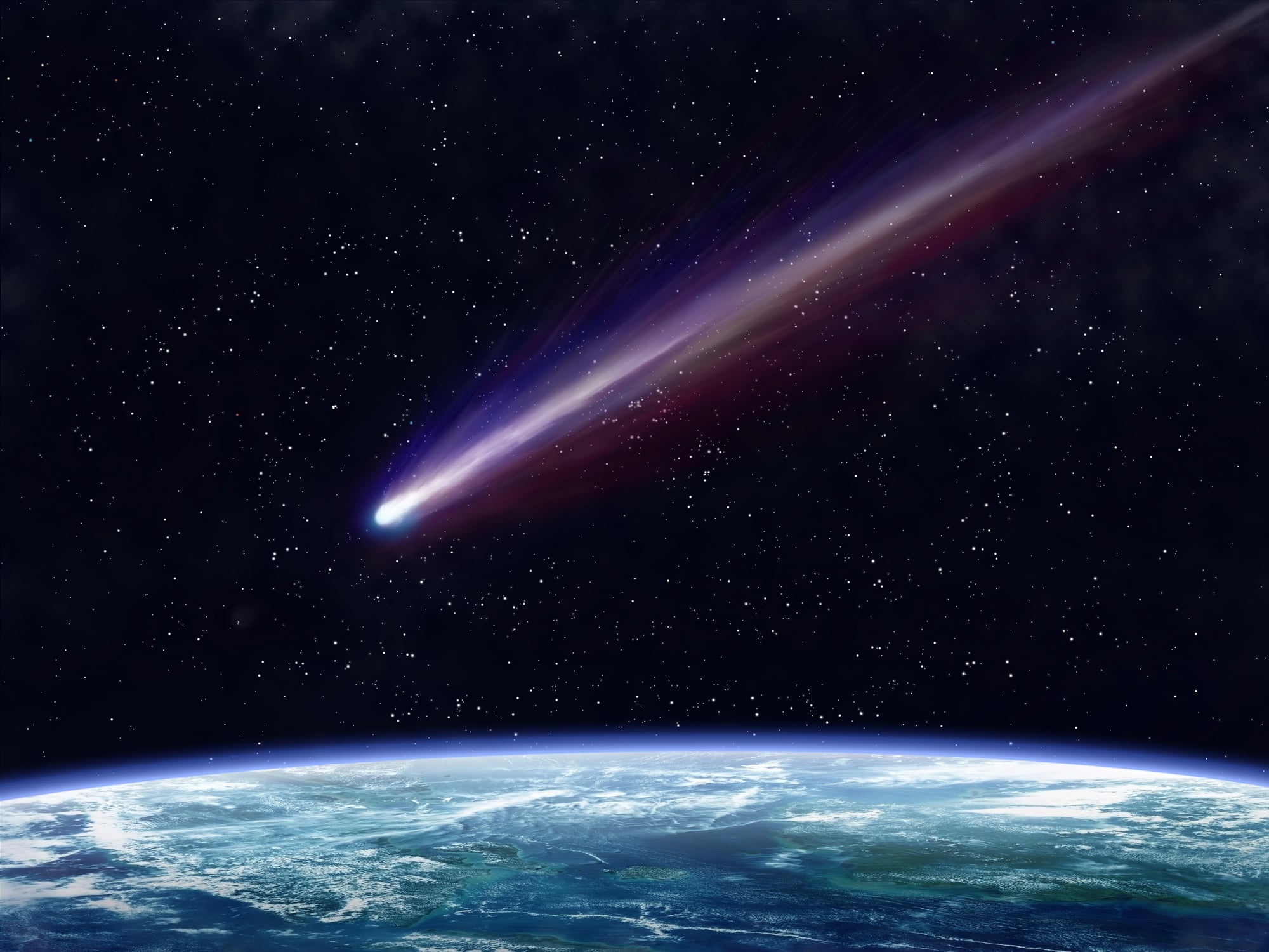
Tidal Waves vs. Tsunamis
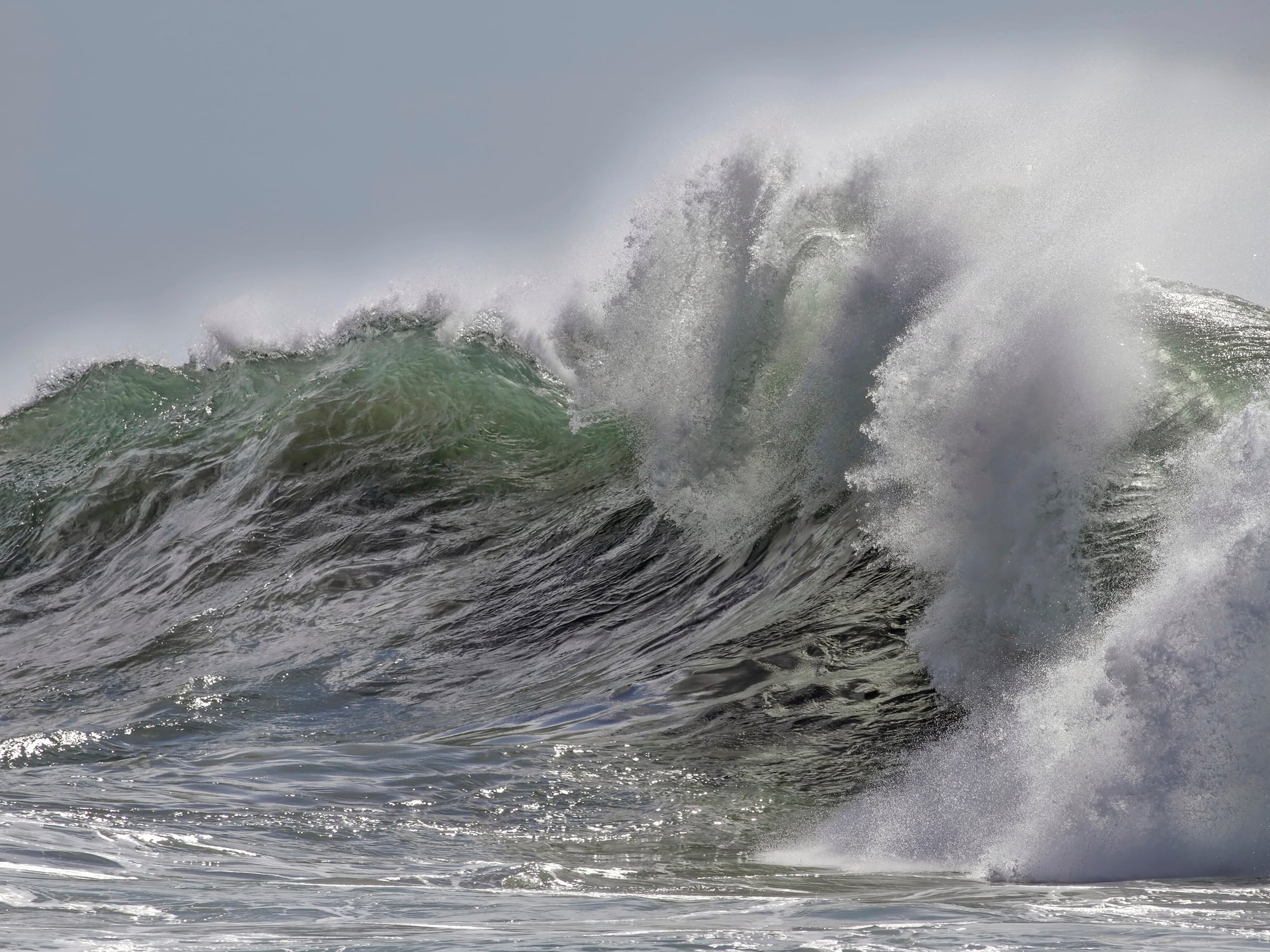
Most people call them tidal waves, but that’s wrong. The correct term is tsunami, and the difference isn’t just technical—it actually explains what these waves are and where they come from.
Tidal waves have nothing to do with earthquakes or volcanic eruptions. They’re caused by the gravitational pull of the moon and sun, creating predictable changes in sea levels.
Tsunamis, on the other hand, result from sudden underwater disturbances like earthquakes, landslides, or volcanic activity.
When someone says “tidal wave” to describe a massive, destructive wave that crashed into a coastal town, they’re mixing up two completely different phenomena. The word tsunami is Japanese, meaning “harbor wave,” and it describes exactly what happens when these waves reach shore.
Deserts and Sand
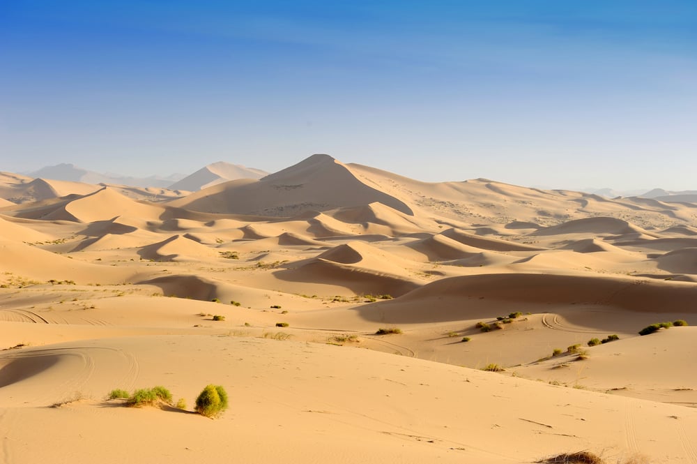
Ask someone to picture a desert, and they’ll probably imagine endless sand dunes stretching to the horizon. But most deserts don’t look like that at all.
A desert is simply a region that receives very little precipitation—usually less than 10 inches per year. Sand is optional.
Antarctica is technically a desert. So is the Arctic.
These polar deserts get so little rainfall that they qualify, even though they’re covered in ice rather than sand. The Gobi Desert has more rock and gravel than sand.
Even the Sahara, which does have those famous dunes, is only about 30% sand. The rest is rock, gravel, and bare earth.
People conflate hot, sandy landscapes with deserts because those images dominate movies, books, and popular culture. But dryness defines a desert, not temperature or terrain.
Holland vs. The Netherlands
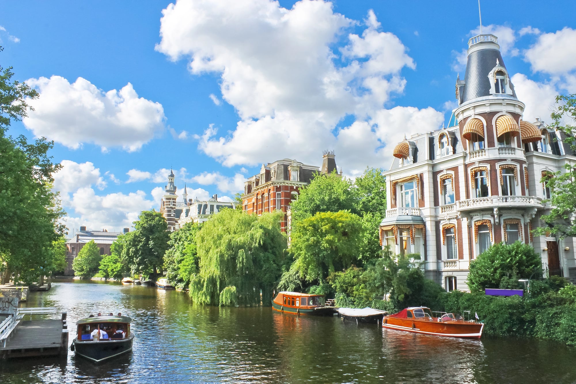
This one causes confusion even for people who live there. Holland and the Netherlands are not the same thing, though people use them interchangeably all the time.
The Netherlands is the country. Holland refers to just two provinces within that country—North Holland and South Holland.
These provinces include major cities like Amsterdam, Rotterdam, and The Hague, which is probably why the name Holland became shorthand for the whole country.
It’s like calling the United States “California” because that’s where a lot of famous cities are. Technically wrong, but you can see how it happens.
Great Britain vs. United Kingdom vs. England

This trio confuses more people than almost any other geography term. They’re not synonyms, and mixing them up can annoy the people who actually live there.
England is just one country within the island of Great Britain, which also includes Scotland and Wales. The United Kingdom adds Northern Ireland to that mix, making it a political union of four countries.
So when you say “England” but mean the whole UK, you’re leaving out three other countries.
The confusion makes sense because England dominated historically and houses the capital, London. But Scotland, Wales, and Northern Ireland have their own distinct cultures, histories, and even some governmental powers.
Using the right term shows you understand those distinctions.
Magma vs. Lava
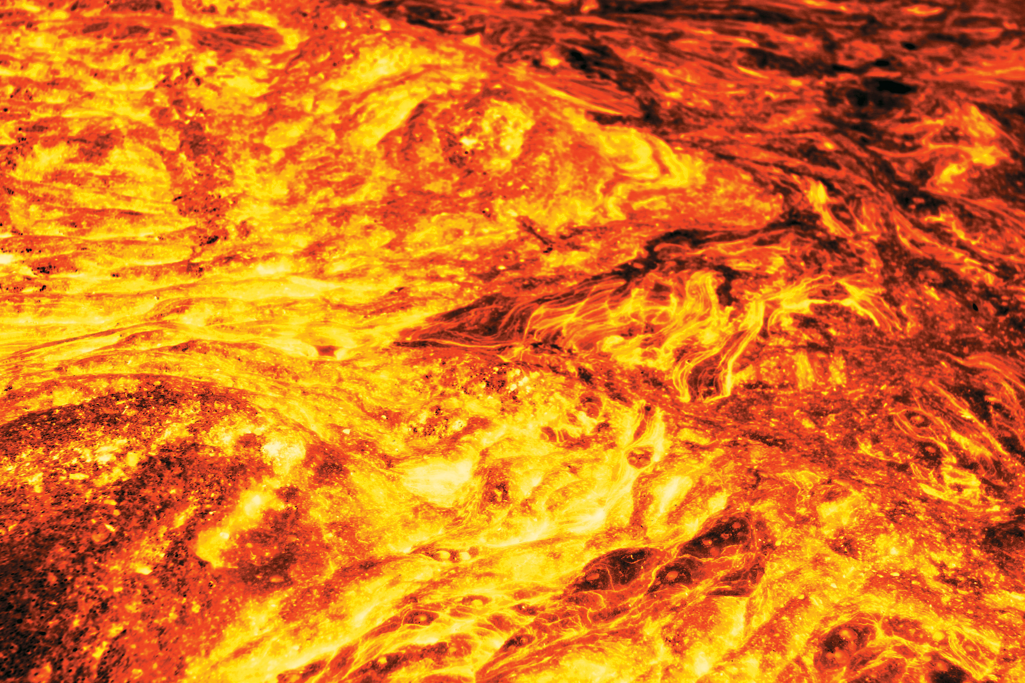
These words describe the same substance—molten rock—but they’re not interchangeable. The location changes the name.
Magma is molten rock while it’s still underground, beneath Earth’s surface. Once that molten rock erupts from a volcano and reaches the surface, it becomes lava.
Same material, different context.
This distinction matters when talking about volcanic activity. You can’t have a lava chamber underground or magma flows on the surface.
The words have specific meanings based on where that molten rock is at any given moment.
Bay vs. Gulf
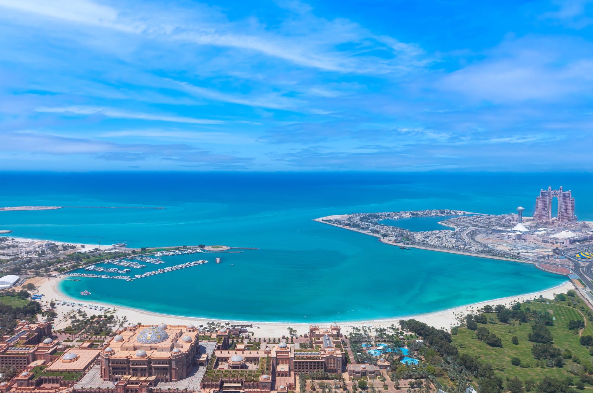
People use these terms loosely, often treating them as the same thing. They’re both bodies of water partially enclosed by land, but the difference lies in the size and degree of enclosure.
A bay is generally smaller and more enclosed by land. A gulf is larger and has a narrower opening to the ocean or sea.
The Gulf of Mexico is massive compared to, say, San Francisco Bay. The Gulf of Alaska opens wider to the ocean than a typical bay would.
That said, geography doesn’t follow strict rules, and you’ll find exceptions. Some large bodies of water are called bays even though they’re huge, and some relatively small ones get called gulfs.
The names often stick because of historical usage rather than strict geographical definitions.
North Pole vs. South Pole
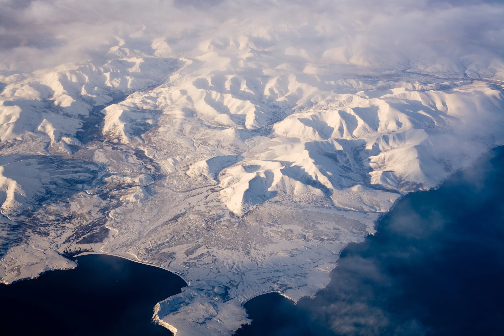
Everyone knows there’s a North Pole and a South Pole, but the differences between them go far beyond just being on opposite ends of Earth.
The North Pole sits in the middle of the Arctic Ocean, which is frozen seawater. There’s no land underneath—just ice floating on water.
The South Pole, on the other hand, sits on Antarctica, a massive landmass covered in ice sheets up to three miles thick.
This difference matters for everything from wildlife to climate. The Arctic supports polar bears, seals, and human populations.
Antarctica has penguins but no land mammals and no permanent human residents. The Arctic is relatively warm compared to Antarctica, which is the coldest place on Earth.
Equator vs. Prime Meridian
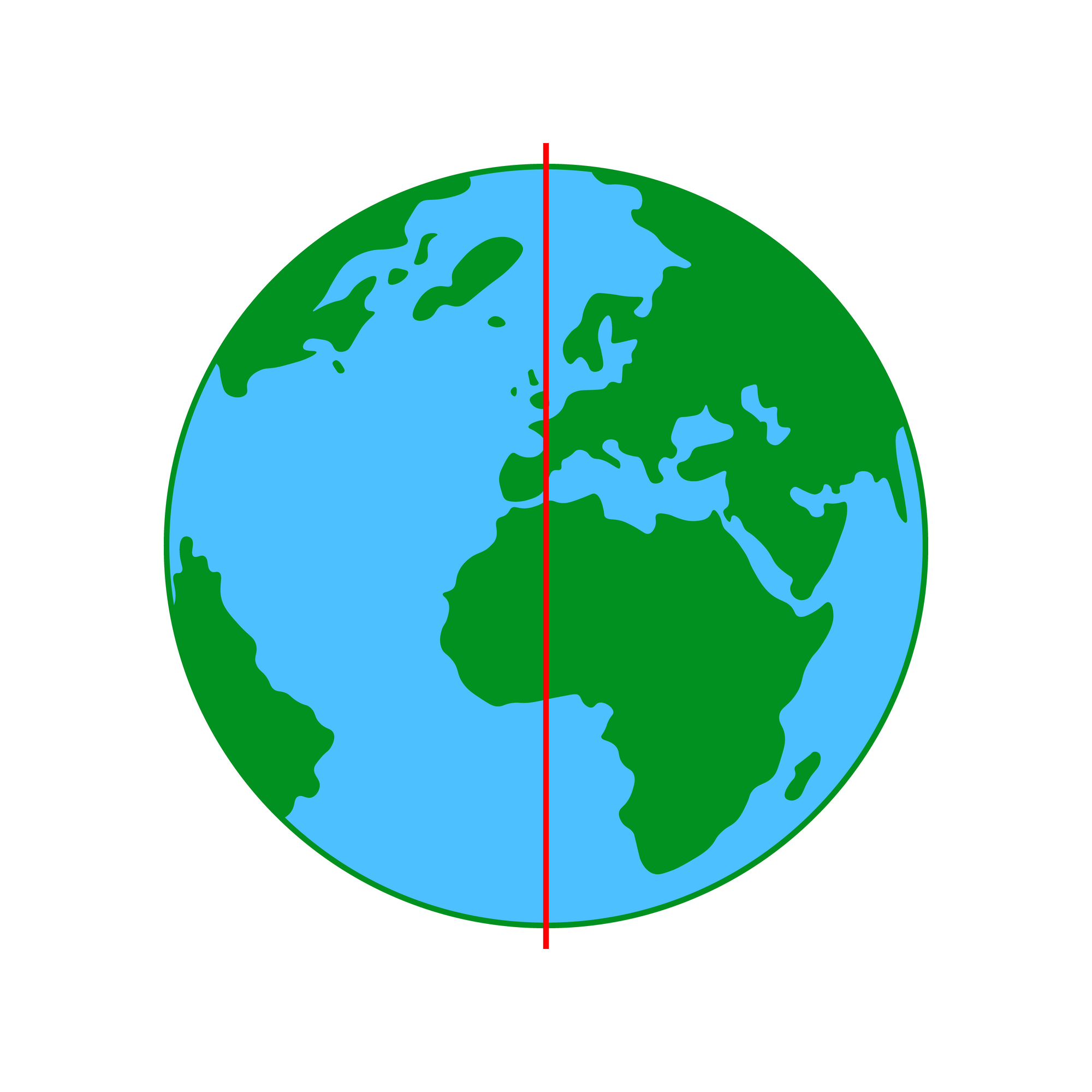
Both are imaginary lines that help us navigate and measure, but they serve different purposes and run in different directions.
The equator circles Earth horizontally at 0 degrees latitude, dividing the planet into Northern and Southern hemispheres. It’s the widest part of Earth and the place where day and night are always roughly equal length.
The prime meridian runs vertically at 0 degrees longitude, passing through Greenwich, England. It divides Earth into Eastern and Western hemispheres.
While the equator is based on Earth’s rotation, the prime meridian is an arbitrary choice—we could have put it anywhere, but Greenwich won out for historical reasons.
Meteorology vs. Meteors
This mix-up happens surprisingly often, probably because the words sound similar. But meteorology has nothing to do with space rocks.
Meteorology is the study of weather and atmospheric conditions. Meteorologists predict rain, track hurricanes, and analyze climate patterns.
The word comes from the Greek “meteoron,” which means “thing in the air.”
Meteors, on the other hand, are space rocks that burn up as they enter Earth’s atmosphere. You see them as shooting stars.
The study of meteors and other space objects falls under astronomy, not meteorology.
Upstream vs. Downstream
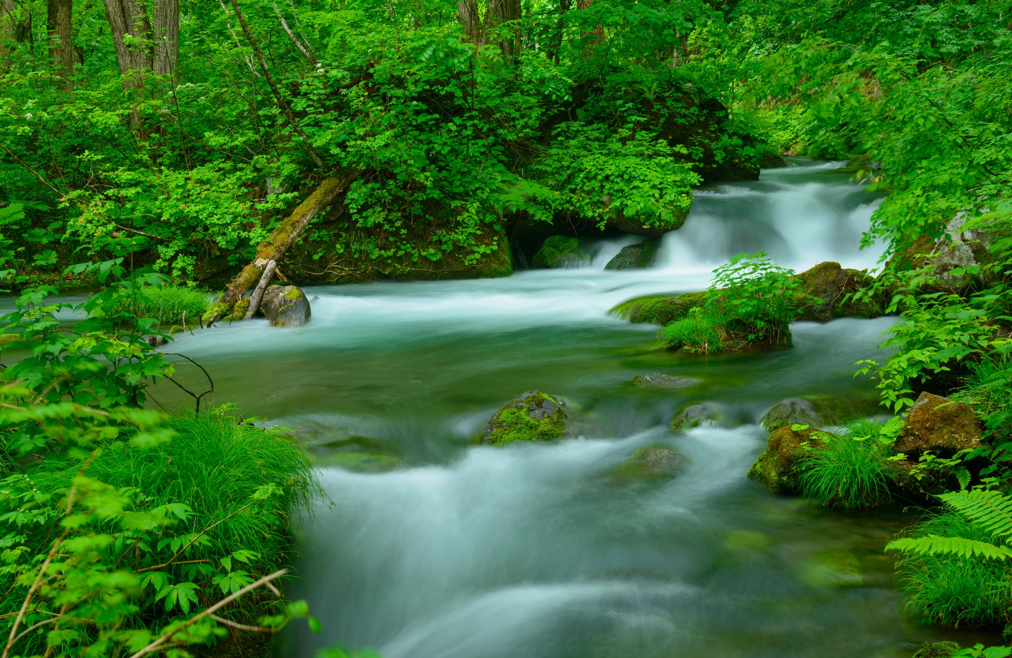
These seem simple until you’re standing by a river that flows in an unexpected direction. People assume upstream means north and downstream means south, but that’s not how it works.
Upstream means toward the source of the river, regardless of compass direction. Downstream means toward where the river flows out—usually into an ocean, sea, or lake.
The Nile flows north, which throws people off because they’re used to thinking of north as “up” on a map.
Rivers flow according to gravity and topography, not cardinal directions. Understanding upstream and downstream requires knowing where the water comes from and where it’s going, not where north is.
Stalagmites vs. Stalactites
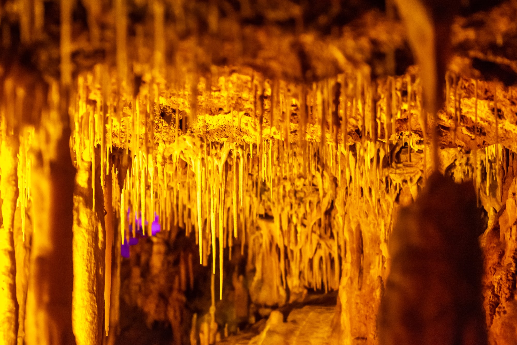
Cave formations perplex people because these two terms sound almost identical and refer to similar features. But there’s an easy way to keep them straight.
Stalactites hang down from cave ceilings. They form as water drips through limestone above, leaving mineral deposits that gradually build downward.
Think of the “T” in stalactite as standing for “top.”
Stalagmites grow up from cave floors. Water drips from above, landing on the ground and depositing minerals that build upward.
The “M” in stalagmite can remind you of “mountain” or “ground.”
Sometimes stalactites and stalagmites meet in the middle, forming a column. But as long as they’re separate, the names tell you which direction they’re growing.
Typhoon vs. Hurricane vs. Cyclone
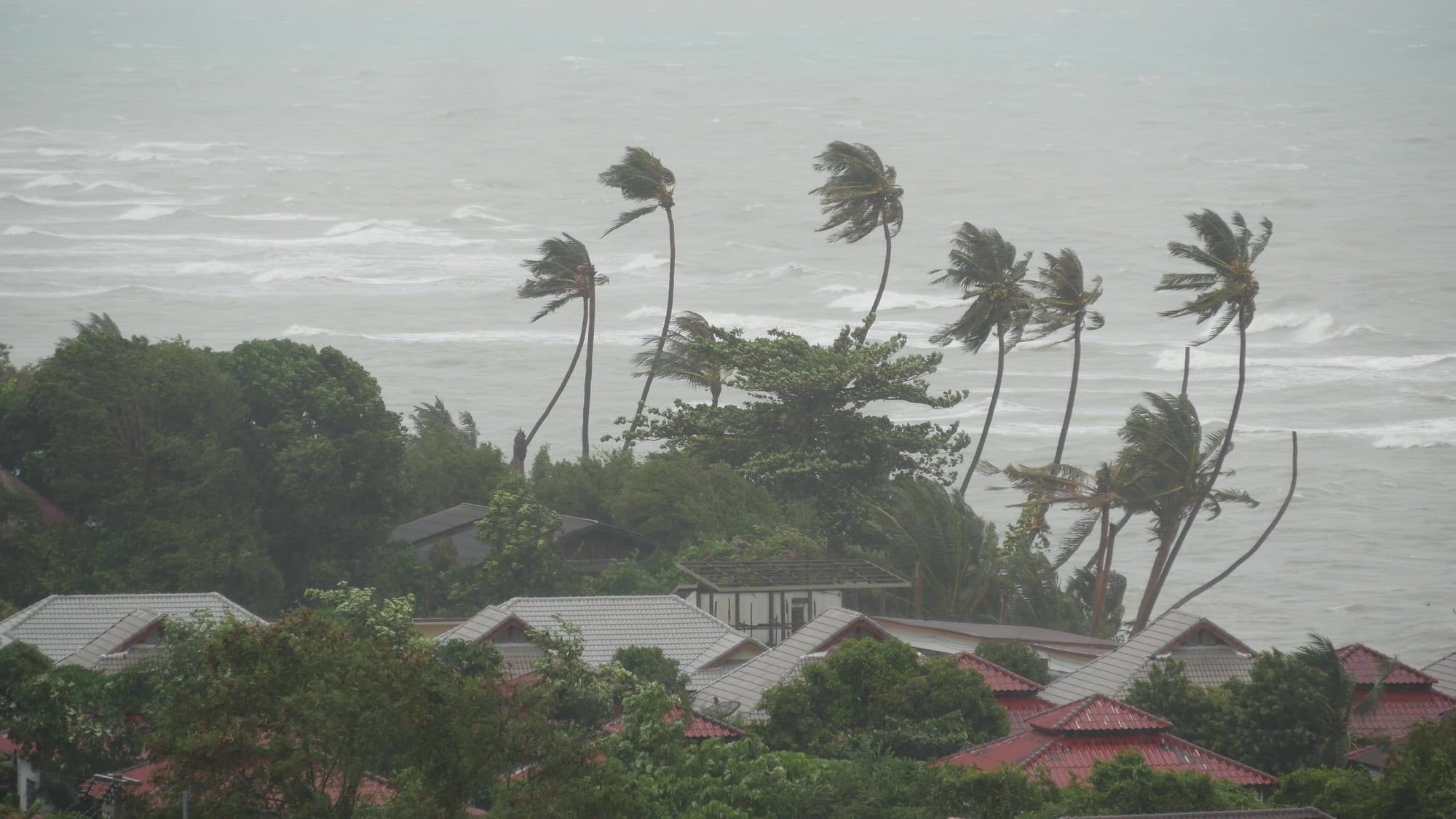
These are all the same weather phenomenon—tropical storms with rotating winds and low pressure centers. The only difference is where they occur.
Hurricanes form in the Atlantic Ocean and Northeast Pacific. Typhoons develop in the Northwest Pacific.
Cyclones happen in the South Pacific and Indian Ocean. Same storm system, different names based on geography.
The confusion makes sense because these storms all look and behave the same way. They’re classified by wind speed using the Saffir-Simpson scale, they rotate (counterclockwise in the Northern Hemisphere, clockwise in the Southern), and they cause similar types of damage.
But the regional names stuck, so now we have three words for one phenomenon.
Celsius vs. Centigrade

Here’s a subtle one that most people don’t even realize is wrong. Many people still call the temperature scale “centigrade,” but that term officially changed decades ago.
The correct name is Celsius, named after Anders Celsius, the Swedish astronomer who developed it. The scientific community formally adopted “Celsius” in 1948 to avoid confusion with other centigrade systems that also used 100-degree scales.
Centigrade just means “divided into 100 parts,” which technically describes several measurement systems. Celsius is specific to the temperature scale where water freezes at 0 degrees and boils at 100 degrees.
Most people still understand what you mean when you say centigrade, but technically it’s outdated. Celsius is the proper term now.
Maps Tell Stories, Not Just Facts

Geography shapes how we see the world, but the words we use to describe it shape our understanding even more. Getting these terms right isn’t about being pedantic—it’s about precision.
When you know the difference between a continent and an island, or when you call Antarctica a desert, you’re acknowledging the deeper reality of how Earth works.
Language changes, and sometimes the “wrong” word becomes so common that it feels right. But geography terms have specific meanings for good reasons.
They help scientists communicate clearly, they preserve historical distinctions, and they reveal truths about our planet that casual observation might miss.
Every time you correct one of these terms in your own speech, you’re choosing accuracy over convenience. That choice matters more than you might think.
More from Go2Tutors!

- The Romanov Crown Jewels and Their Tragic Fate
- 13 Historical Mysteries That Science Still Can’t Solve
- Famous Hoaxes That Fooled the World for Years
- 15 Child Stars with Tragic Adult Lives
- 16 Famous Jewelry Pieces in History
Like Go2Tutors’s content? Follow us on MSN.