How Early Scientists Measured the Size of Earth
People have wondered about the size of Earth for thousands of years. Standing on the ground, everything looks flat and endless. But some curious minds figured out ways to measure the planet without ever leaving its surface.
The methods they used were surprisingly clever. Let’s see how they pulled it off with nothing but simple tools and smart thinking.
Eratosthenes watched shadows at noon

A Greek librarian named Eratosthenes noticed something strange around 240 BC. He heard that in the city of Syene, the sun shone straight down a well at noon on the summer solstice, casting no shadow.
But in Alexandria, where he lived, vertical objects always cast shadows at noon. He realized this happened because Earth’s surface curves.
Eratosthenes measured the shadow angle in Alexandria, hired someone to pace out the distance to Syene, and did some geometry. His calculation came within 2% of Earth’s actual size.
Ancient Indians used the horizon

Indian mathematicians had their own approach centuries ago. They noticed that when standing at sea level, the horizon sits at a specific distance away.
Climb higher, and the horizon moves farther out. Aryabhata and other scholars worked out formulas connecting height, distance to horizon, and Earth’s curvature.
Their calculations required only a tall structure, a way to measure distance, and understanding of triangles.
Chinese astronomers tracked star positions
Scholars in ancient China measured how star positions changed when traveling north or south. A star that appears directly overhead in one city sits at an angle when viewed from another city.
The difference in angles told them how much Earth’s surface had curved between those two locations. Combined with the distance traveled, they could calculate the planet’s total size.
Records show they got remarkably close to the true measurements.
Arab scholars refined Greek methods
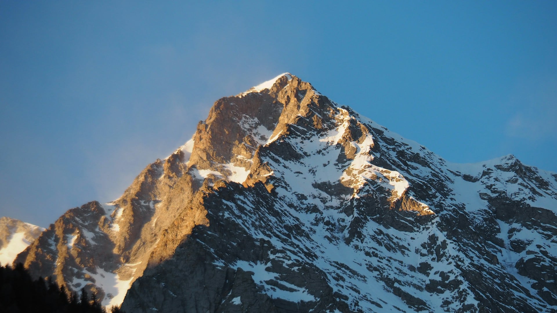
Islamic scientists during the Golden Age didn’t just copy Greek work. They improved it.
Al-Biruni developed a method that only needed one location instead of two cities. He measured the angle to the horizon from a mountaintop, then used the mountain’s height to calculate Earth’s radius.
His result was accurate to within a few miles of modern measurements.
Sailors noticed ships disappearing hull first

Ocean voyagers saw something that landlubbers missed. When a ship sails away, it doesn’t just get smaller.
The hull vanishes below the horizon before the masts do. This only makes sense on a curved surface.
Sailors understood this practically even if they couldn’t calculate the exact curvature. Smart observers used this phenomenon to estimate how sharply Earth curves over distance.
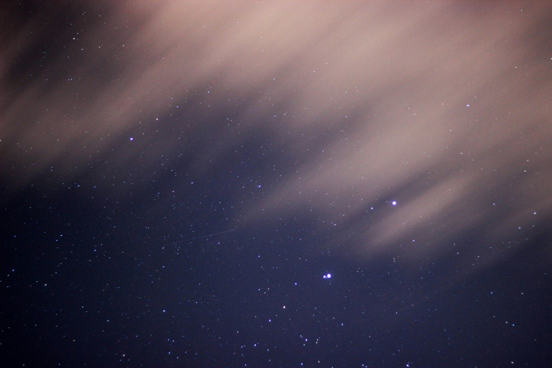
Lunar eclipses showed Earth’s round shadow
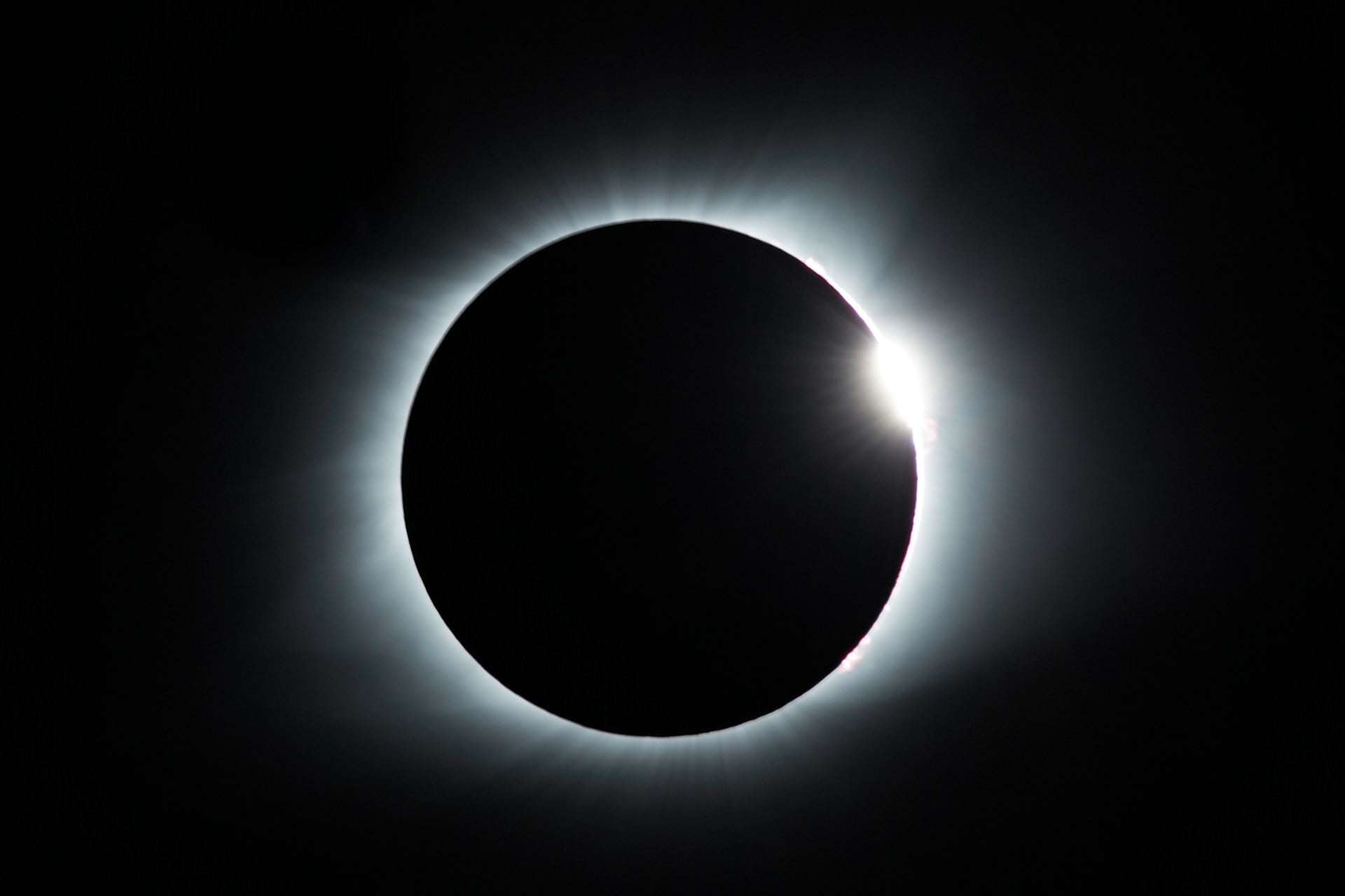
Ancient Greeks watched the moon during eclipses and paid attention to details. Earth’s shadow always appeared round as it crossed the moon’s face, no matter when or where the eclipse happened.
Only a sphere casts a circular shadow from every angle. This didn’t measure Earth’s size directly, but it confirmed the planet was round, which made measurement attempts worthwhile.
Triangulation became a powerful tool

French scientists in the 1700s wanted extreme accuracy. They measured a baseline distance very carefully, then used it as one side of a triangle.
By measuring angles to distant landmarks, they could calculate the lengths of the other sides without walking there. They chained these triangles across France, creating a network that revealed the exact curvature.
The project took decades but gave measurements good enough for making detailed maps.
Pendulum experiments revealed gravity differences
Scientists noticed that pendulum clocks ran at different speeds depending on location. A clock keeping perfect time in Paris would run slow near the equator and fast near the poles.
This happened because Earth isn’t a perfect sphere; it bulges at the equator. Measuring these tiny timing differences helped scientists understand Earth’s exact shape and size.
The method required precision clockmaking that wasn’t available until the 1700s.
Mountain surveys measured degrees of arc
Surveyors climbed mountains carrying heavy instruments to measure the angle between two distant points on the ground. They picked landmarks dozens of miles apart and used theodolites to measure angles with incredible precision.
By knowing the distance between points and the angle between them as seen from above, they could calculate how much Earth curves over that span. These surveys helped create the first accurate world maps.
Variations in sea level provided clues

Careful observers noticed that sea level wasn’t identical everywhere. The Mediterranean sits slightly lower than the Atlantic at some points.
These differences relate to Earth’s gravity, rotation, and shape. Scientists in the 1800s used precise leveling instruments to measure these tiny variations over hundreds of miles.
The data helped refine calculations about Earth’s dimensions and revealed it’s slightly pear-shaped rather than perfectly round.
Telegraph cables needed accurate measurements

When countries started laying telegraph cables across oceans in the 1800s, they needed to know exact distances. Engineers couldn’t afford to run short of cable halfway across the Atlantic.
They used the best available measurements of Earth’s size to calculate route lengths. The success of these cables proved that scientists had figured out Earth’s dimensions accurately.
Any major error would have left ships stranded with too much or too little cable.
Gravity measurements showed density patterns
Scientists developed instruments that could measure tiny differences in gravity’s pull from place to place. Gravity feels stronger where Earth’s crust is denser or where there’s more mass below.
By taking gravity readings across a region, they could map underground structures without digging. These measurements also refined understanding of Earth’s overall mass and size.
The method required instruments sensitive enough to detect changes smaller than one part in a million.
Satellite technology changed everything
The space age made Earth measurement almost easy by comparison. Satellites orbit at known altitudes and speeds that depend on Earth’s size and gravity.
By tracking satellite positions precisely, scientists calculated Earth’s dimensions down to the centimeter. GPS satellites now constantly measure their positions relative to Earth’s center.
The network gives scientists real-time data about Earth’s exact shape, including tiny changes from tides and shifting ice.
Laser ranging achieves incredible precision

Modern scientists bounce laser beams off reflectors placed on the moon by Apollo astronauts. By timing how long light takes to make the round trip, they measure the Earth-moon distance within millimeters.
These measurements reveal that the moon drifts about 1.5 inches farther from Earth each year. They also provide extremely accurate data about Earth’s rotation and wobble.
The technique needs atomic clocks and powerful lasers that weren’t invented until recently.
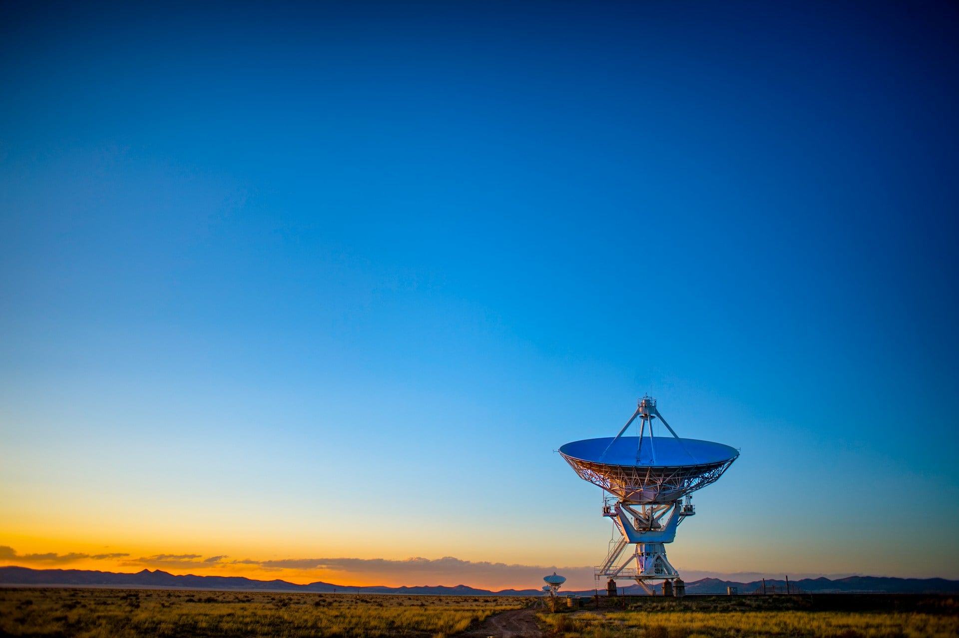
Radio telescopes created a planetary ruler
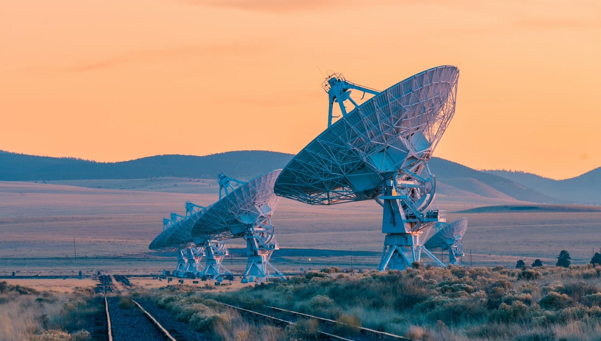
Astronomers use networks of radio telescopes spread across continents. They observe the same distant object simultaneously from multiple locations.
By comparing exactly when the radio waves arrive at each telescope, they can measure the distances between telescopes with extreme accuracy. This technique, called very long baseline interferometry, maps Earth’s surface movements and proves that continents drift.
It measures changes in Earth’s size and shape caused by earthquakes and melting ice.
Ocean floor mapping revealed hidden features
Sonar and satellite measurements of the ocean surface revealed mountains, trenches, and ridges under the sea. These features affect ocean height by tiny amounts because extra mass pulls water toward it through gravity.
By measuring ocean surface heights from space, scientists mapped the seafloor and refined Earth’s shape. They discovered the ocean floor is far more complex than anyone guessed.
This data improved calculations of Earth’s total size and mass distribution.
GPS tells us Earth is still changing
Every GPS satellite constantly measures its position relative to ground stations. Scientists noticed that these distances change over time.
Earthquakes shift land suddenly. Melting ice in Greenland makes the crust rise up slowly.
Even seasonal changes in groundwater affect measurements. GPS networks track these movements, showing that Earth’s size and shape keep changing slightly.
The planet grows a tiny bit around the middle each year as ice melts and redistributes mass.
From sticks in the sand to satellites above

Eratosthenes started with shadows and a hired walker to count steps between cities. His simple approach led to an answer that would have seemed impossible without seeing Earth from space.
Every generation since then found new ways to measure more accurately, from mountaintop surveys to laser beams bouncing off the moon.
More from Go2Tutors!

- The Romanov Crown Jewels and Their Tragic Fate
- 17 Halloween Costumes Once Considered Taboo
- Famous Hoaxes That Fooled the World for Years
- 15 Child Stars with Tragic Adult Lives
- 16 Famous Jewelry Pieces in History
Like Go2Tutors’s content? Follow us on MSN.