Military Maps That Shaped Empires
Maps have always been far more than simple geographical tools. Throughout history, they’ve served as instruments of power, conquest, and empire-building.
From ancient clay tablets to sophisticated modern cartography, military maps have guided armies, planned invasions, and reshaped the political landscape of entire continents. These cartographic masterpieces didn’t just record territory—they actively shaped the rise and fall of the world’s greatest empires.
Here is a list of 13 military maps that fundamentally altered the course of human civilization.
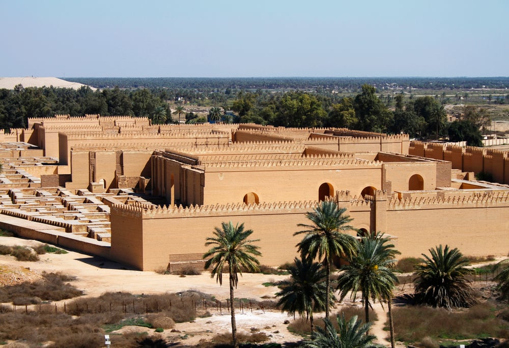
Babylonian Imago Mundi
The Imago Mundi shaped political power dynamics by positioning Babylon at the center of existence. This geographical centrality reinforced the empire’s authority and influenced diplomatic relations with neighboring regions.
Created around 600 BCE, this clay tablet represents the world’s oldest known map and established a template for how empires would use cartography to project power. The map placed Babylon at the literal center of the known world, surrounded by a circular ocean and distant lands filled with mythical creatures.
Chinese Han Dynasty Military Maps
The Spring and Autumn (771–476 BCE) and Warring States (475–221 BCE) periods witnessed maps becoming geopolitical weapons. Confucius famously paid respects to state map-bearers, while military texts like Guanzi emphasized commanders must master terrain mapping for warfare.
These early Chinese military maps revolutionized strategic planning by incorporating detailed terrain analysis with troop positioning. The most dramatic episode occurred in 227 BCE when assassin Jing Ke concealed a dagger within the Dukang Map—a territorial scroll of Yan Kingdom—during his failed attempt to kill Qin Shi Huang.
Like Go2Tutors’s content? Follow us on MSN.
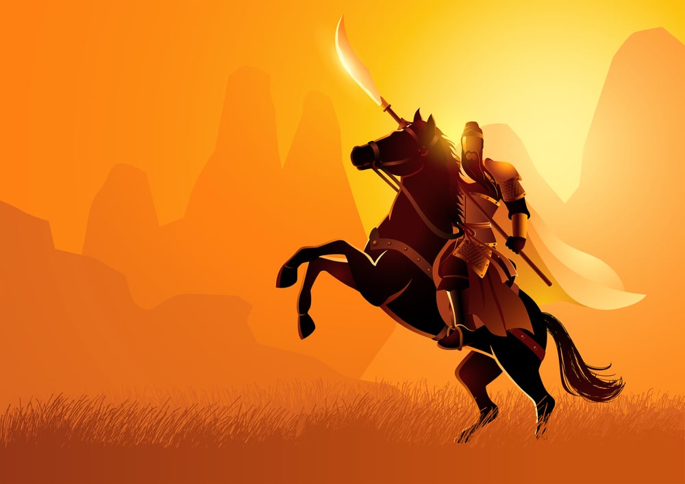
Alexander’s Campaign Maps
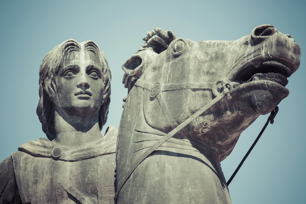
In 334, Alexander decided to continue his father’s plans to bring the Greeks into an alliance against the Persians and then launched a new military campaign in Asia Minor. His first victory came at the Battle of the River Granicus, opening up the road to Sardis Alexander the Great’s conquests fundamentally depended on detailed military cartography that tracked his unprecedented march from Macedonia to India.
A map showing the route that Alexander the Great took to conquer Egypt, Mesopotamia, Persia, and Bactria reveals how systematic mapping enabled him to coordinate logistics across a 22,000-mile campaign. His cartographers created the first comprehensive maps linking Europe, Asia, and Africa.
Roman Military Survey Maps
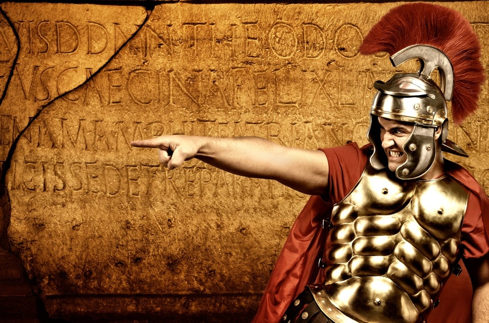
Roman expansion relied heavily on detailed topographical surveys that guided road construction and military campaigns. Roman engineers created standardized mapping techniques that allowed legions to navigate unfamiliar terrain while establishing supply lines.
These maps became the foundation for Roman administrative control, as they documented not just geography but also resource locations and strategic chokepoints.
Arab Conquest Maps

The rapid expansion of the Islamic Empire in the 7th and 8th centuries was facilitated by detailed maps inherited from Byzantine and Persian sources, combined with new geographical intelligence. Arab cartographers synthesized Greek geographical knowledge with practical military experience to create maps that guided conquests from Spain to Central Asia.
These maps enabled coordination between multiple armies operating thousands of miles apart.
Like Go2Tutors’s content? Follow us on MSN.
French Colonial Military Maps
After 1815, France was stripped of most of its first colonial empire. French military expansion in North America, India, and later Africa was guided by detailed topographical surveys that documented terrain features crucial for military operations.
French cartographers developed innovative techniques for mapping unfamiliar territories, creating strategic advantages in conflicts with British and Spanish forces. These maps enabled coordination between widely separated French colonial territories.
British Imperial Survey Maps
British military and naval power, under the leadership of such men as Robert Clive, James Wolfe, and Eyre Coote, gained for Britain two of the most important parts of its empire—Canada and India. The British Empire’s global dominance was built on the most comprehensive mapping project in human history.
Beginning around the early 1830s, cartographers began a long and exacting process to triangulate the exact position of key landmarks and create a full map of India British military surveyors systematically mapped territories from India to Canada, creating strategic advantages through superior geographical intelligence.
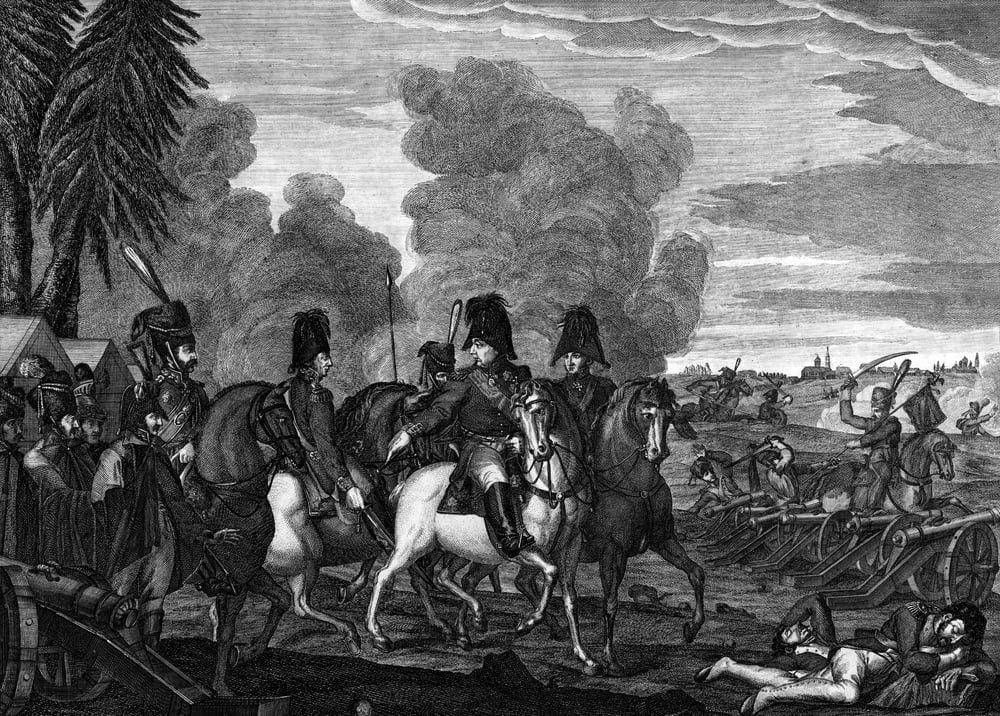
American Civil War Maps
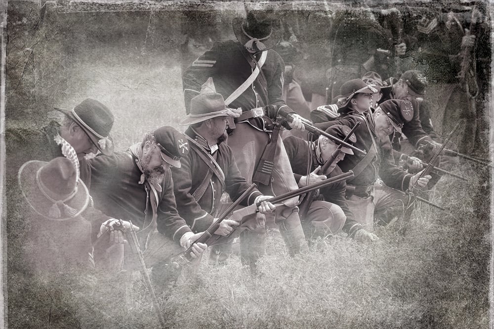
Among the reconnaissance, sketch, and theater-of-war maps are the detailed battle maps made by Major Jedediah Hotchkiss for Generals Lee and Jackson, General Sherman’s Southern military campaigns The American Civil War saw the first systematic use of detailed topographical maps in American military history.
This presentation contains approximately 2,240 Civil War maps and charts and 76 atlases and sketchbooks Both Union and Confederate forces relied on precise maps to coordinate campaigns across a continental-scale theater of operations.
Like Go2Tutors’s content? Follow us on MSN.
Russian Imperial Expansion Maps
Russian expansion across Siberia and into Central Asia was guided by detailed maps created by military surveyors and explorers. These maps documented river routes, mountain passes, and strategic locations across the world’s largest landmass.
Russian cartographers combined European mapping techniques with local geographical knowledge to create comprehensive strategic atlases.
German World War I Battle Maps
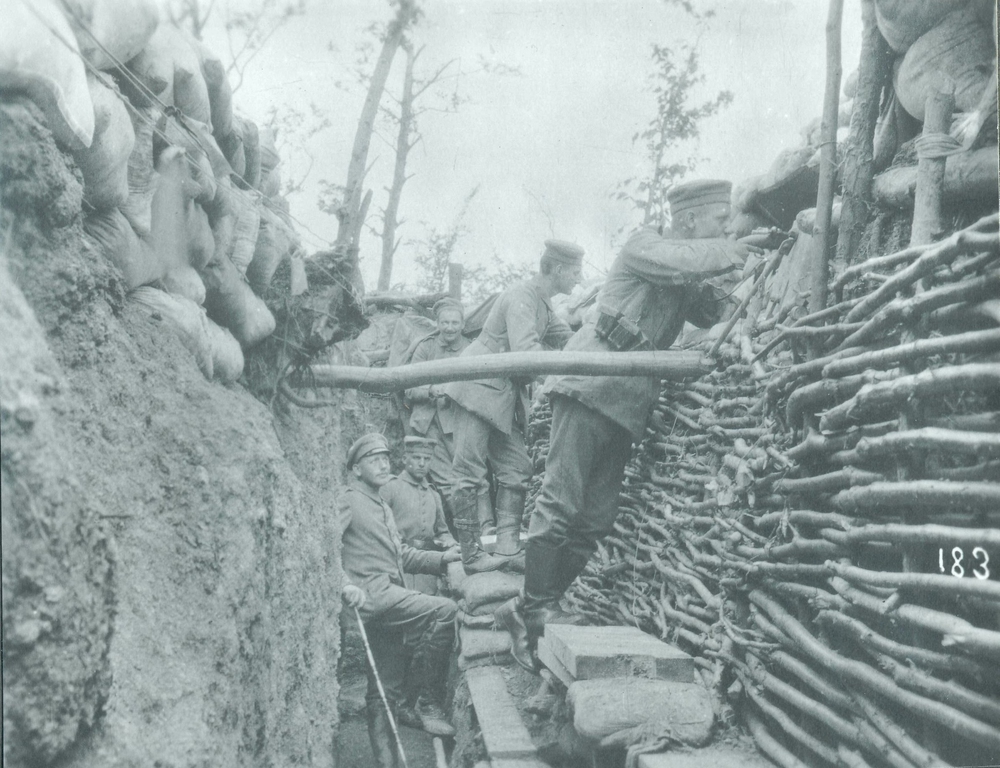
German military planning for World War I relied on detailed maps showing railroad networks, fortress locations, and mobilization routes. The famous Schlieffen Plan was built on precise cartographic analysis of European transportation networks.
German military cartographers created sophisticated maps that attempted to coordinate the movement of millions of troops across multiple fronts.
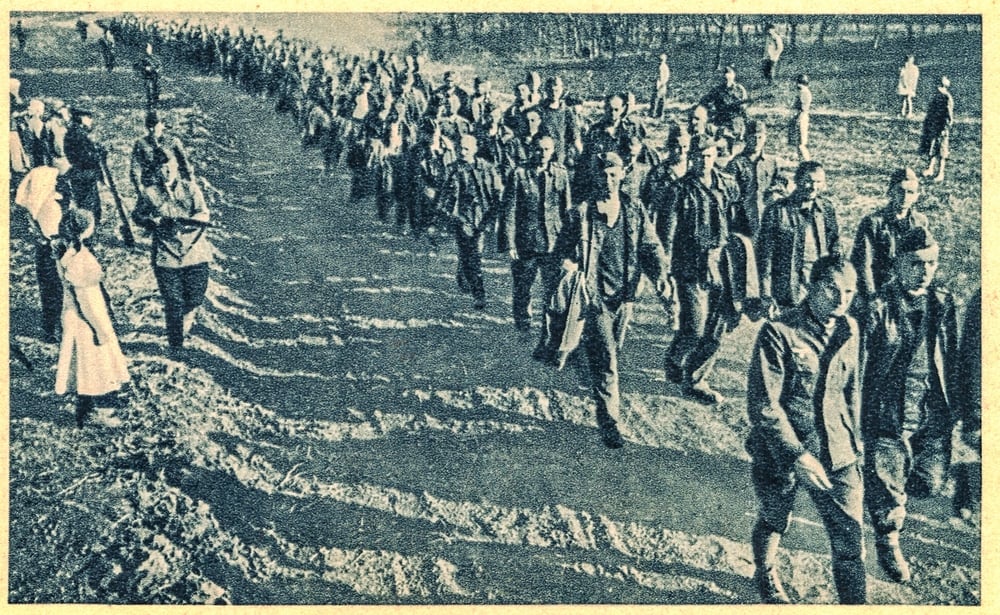
Japanese Pacific War Maps

Japanese expansion across the Pacific was guided by detailed naval charts and strategic maps that identified key islands, harbors, and resource locations. Japanese military cartographers combined traditional naval charts with modern aerial reconnaissance to create comprehensive maps of the Pacific theater.
These maps guided the rapid Japanese expansion of 1941-1942.
Like Go2Tutors’s content? Follow us on MSN.
Soviet Strategic Maps
The Soviet Union created the most comprehensive secret mapping project of the 20th century, producing detailed topographical maps of the entire world at unprecedented scales. Soviet military cartographers systematically mapped potential invasion routes, strategic resources, and defensive positions across six continents.
These maps gave Soviet military planners detailed knowledge of global geography for strategic planning.
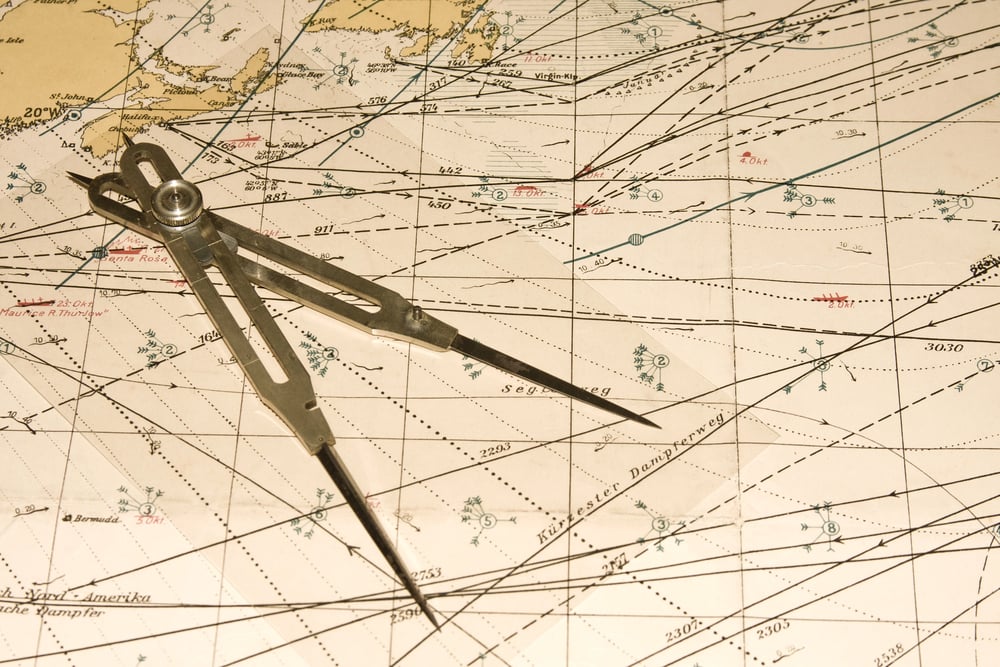
Modern Satellite Military Maps
Contemporary military operations rely on satellite-based mapping systems that provide real-time intelligence and precision targeting capabilities. These digital maps integrate multiple data sources to create comprehensive situational awareness for military commanders.
Modern military cartography represents the culmination of centuries of development in using maps as instruments of strategic power.
Intelligence Revolution Through Cartography
The evolution from ancient clay tablets to digital satellite maps represents more than technological progress—it shows how cartographic knowledge has consistently provided decisive military advantages. Throughout history, the most successful empires have been those that could map their world most accurately and use that geographical intelligence most effectively.
The map’s influence on later cartographic traditions proved significant. Its basic principles of representing space and geography influenced Greek, Roman, and medieval European mapmaking. These military maps didn’t just record the rise of empires; they actively enabled conquest, administration, and the projection of power across vast distances.
More from Go2Tutors!

- 16 Historical Figures Who Were Nothing Like You Think
- 12 Things Sold in the 80s That Are Now Illegal
- 15 VHS Tapes That Could Be Worth Thousands
- 17 Historical “What Ifs” That Would Have Changed Everything
- 18 TV Shows That Vanished Without a Finale
Like Go2Tutors’s content? Follow us on MSN.