16 Fascinating Trivia Facts About Early Ocean Travel
The ocean has always been humanity’s most stubborn teacher. Long before GPS satellites tracked every nautical mile and weather services predicted storms days in advance, sailors ventured into waters that might as well have been alien territory.
They navigated by stars they barely understood, carried provisions that spoiled within weeks, and trusted their lives to wooden vessels that groaned ominously in rough seas. Yet somehow, these early ocean travelers managed to connect continents, establish trade routes, and fundamentally reshape how civilizations interacted with each other.
Viking Ships Were Built Without Blueprints
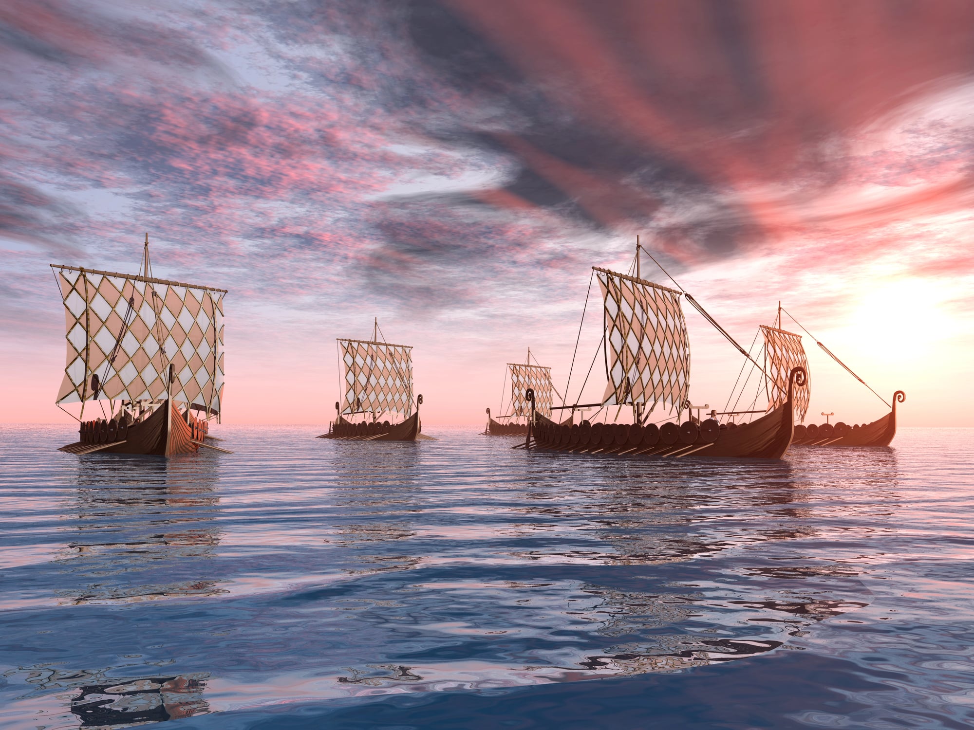
Vikings constructed their legendary longships entirely by eye and experience. No blueprints. No measurements written down anywhere.
Master shipbuilders passed techniques through demonstration, and each vessel emerged as a unique interpretation of proven design principles.
Chinese Treasure Ships Dwarfed European Vessels
When Zheng He sailed the Indian Ocean in the early 1400s, his flagship (according to some accounts, though historians debate the exact measurements) stretched over 400 feet long — making Columbus’s Santa María look like a dinghy by comparison. And here’s what really puts things in perspective: while Europeans were still figuring out how to navigate beyond sight of land, Chinese fleets were conducting diplomatic missions across vast ocean distances with ships that carried entire communities, complete with gardens, workshops, and livestock.
The scale wasn’t just about showing off, though that certainly played a role. These massive vessels represented a fundamentally different approach to ocean travel — instead of the European model of small, nimble ships making quick trading runs, the Chinese created floating cities capable of extended voyages and complex operations thousands of miles from home. But (and this is where history gets interesting) political changes back in China effectively ended these grand maritime expeditions just as Europeans were beginning to venture seriously into ocean exploration.
Ancient Polynesians Navigated by Wave Patterns
Polynesian navigators could read the ocean like a book. They felt wave patterns bouncing off distant islands through the hulls of their canoes.
These navigators identified land they couldn’t see by interpreting swells, cross-currents, and the subtle ways waves behaved when they encountered underwater obstacles or shorelines. Wave navigation represented an entirely different relationship with the ocean.
Roman Merchant Ships Carried Live Cargo

Picture this: you’re crossing the Mediterranean in 150 AD, and your ship isn’t just loaded with amphorae of olive oil and bolts of silk, but also bleating sheep, lowing cattle, and probably a few irritated chickens pecking around the deck. Roman merchants discovered that fresh meat commanded premium prices, so they turned their vessels into floating farms for voyages that could last weeks.
The logistics were staggering — not just feeding and watering the animals, but dealing with waste, preventing animals from panicking during storms, and keeping predatory fish from following the scent trails that these ships inevitably left behind them. Some Roman vessels were essentially Noah’s arks with commercial ambitions, carrying breeding pairs of valuable livestock to establish herds in distant provinces.
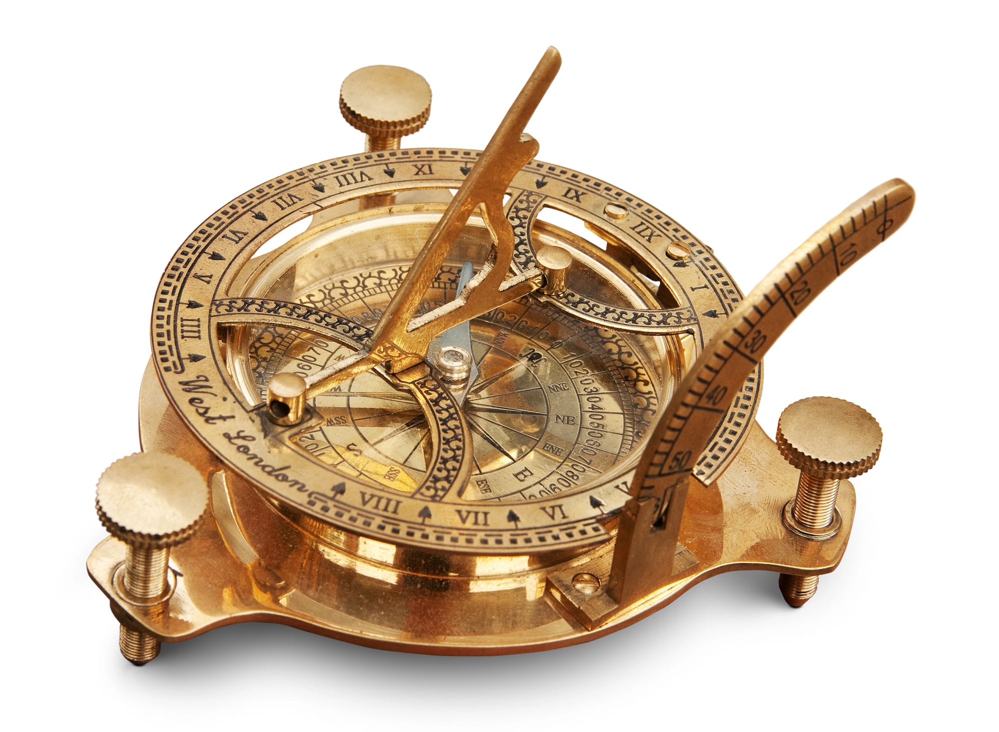
Medieval Ships Used Lodestones as Compasses

The first magnetic compasses weren’t the neat circular instruments you picture. Medieval sailors magnetized iron needles by stroking them with lodestones, then floated these needles on pieces of cork in bowls of water.
The setup was primitive but revolutionary.
Early Ocean Maps Left Huge Blank Spaces
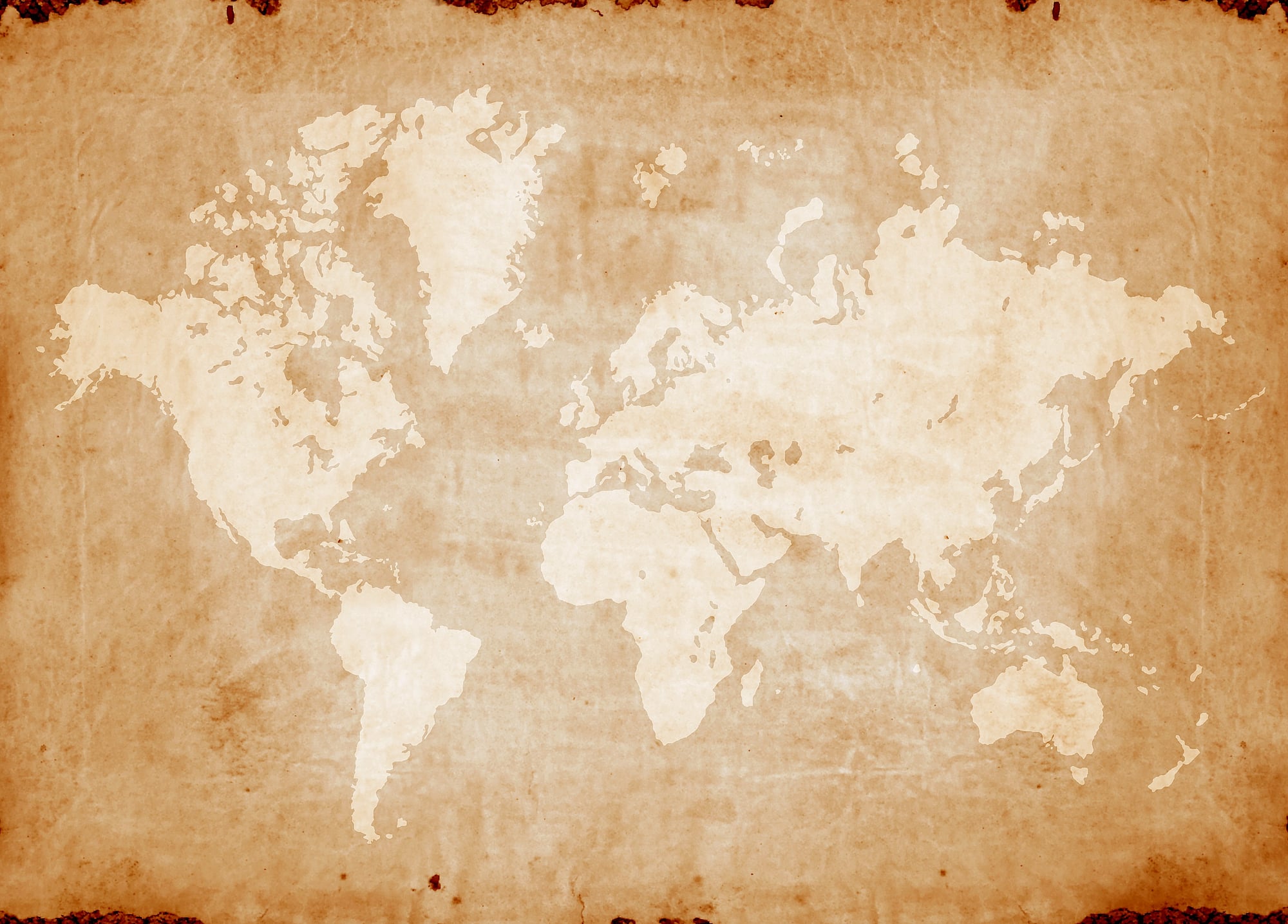
Pre-15th century maps often contained more imagination than geography (which makes perfect sense when you consider that cartographers were trying to document places they’d never seen based on secondhand accounts from sailors who might have been exaggerating, confused, or simply making things up to impress tavern audiences). The edges of these maps frequently featured warnings like “Here be dragons” or depicted sea monsters with tentacles large enough to drag entire ships into the depths, and while modern readers might chuckle at such additions, they represented a very real psychological truth: the ocean beyond familiar waters was genuinely terrifying to people whose understanding of the world ended at the horizon.
But here’s what’s fascinating about those blank spaces — they weren’t admissions of ignorance so much as honest acknowledgments of the limits of human knowledge. And cartographers often filled unknown areas with artistic flourishes partly because empty parchment was expensive, and partly because maps were status symbols for wealthy patrons who expected their money to buy beautiful objects, not just functional tools.
Ships Carried Cats for Practical Reasons

Rats could destroy an entire voyage’s worth of food supplies in a matter of weeks. Cats solved this problem efficiently and earned their passage by keeping cargo holds free of vermin.
Ship cats weren’t pets — they were essential crew members with specific jobs. These feline sailors developed sea legs just like their human counterparts, adapting to rolling decks and confined spaces.
Navigation Required Accurate Timekeeping
Here’s the thing about determining longitude at sea: it sounds straightforward until you actually try to do it. You need to know the exact time difference between your current location and a reference point (like Greenwich), but mechanical clocks in the 16th and 17th centuries were about as reliable as weather forecasts — they gained or lost several minutes per day, and ocean voyages lasted months.
The British government eventually offered a prize worth millions in today’s currency for a solution to this problem, because navigational errors weren’t just inconvenient, they were deadly. Ships regularly missed their destinations by hundreds of miles, ran aground on unexpected reefs, or simply vanished because their crews thought they were somewhere completely different from their actual position. John Harrison’s marine chronometer finally solved the longitude problem, but it took decades of refinement before ship clocks became truly dependable.
Ancient Ships Were Sealed With Unusual Materials

Egyptian shipbuilders waterproofed their vessels using a mixture of animal fat, tree resins, and linen strips. The process involved heating these materials until they formed a thick, tar-like substance that could be worked into the gaps between wooden planks.
Some cultures used beeswax mixed with crushed shells. Others packed seams with oakum — old rope fibers soaked in pine tar. The variety of sealing methods reflected both available materials and regional knowledge passed down through generations of shipwrights.
Viking Navigation Involved Crystals
Vikings may have used calcite crystals to locate the sun’s position even on cloudy days or during twilight (the optical properties of these crystals allow them to polarize light in ways that can reveal the sun’s location through cloud cover, which sounds like fantasy but actually works based on well-understood physics). Recent experiments have demonstrated that these “sunstones” could provide reasonably accurate directional information under conditions where traditional solar navigation would be impossible.
The archaeological evidence remains frustratingly incomplete — we know Vikings had access to these crystals and we know they navigated with remarkable accuracy across vast stretches of open ocean, but the direct connection between the two facts requires some educated speculation. And yet the alternative explanations for Viking navigational success are even more speculative, so the sunstone theory has gained credibility among maritime historians who’ve run out of other ways to account for how these sailors managed to find tiny islands in the middle of the North Atlantic.
Early Ocean Travel Depended on Monsoon Winds

Timing was everything. Arabian merchants planned entire trading expeditions around seasonal wind patterns that could make the difference between profitable voyages and disasters.
Miss the monsoon season by a few weeks, and you might spend months waiting for favorable winds or fighting contrary currents. These seasonal patterns created natural rhythms for international commerce.
Ships’ Biscuits Lasted for Years

Hardtack — the dense, unleavened biscuits that sustained sailors on long voyages — could remain edible for decades if stored properly. The texture resembled wood, and sailors often had to soak these biscuits in water, wine, or soup before attempting to eat them without breaking their teeth.
But hardtack represented a genuine technological breakthrough in food preservation. Before reliable methods of keeping provisions fresh during extended voyages, ocean travel was severely limited by how long crews could survive on available supplies.
Navigation Charts Were Closely Guarded Secrets

Portuguese and Spanish navigators treated their route maps like state secrets (and with good reason, since accurate charts represented years of dangerous exploration, astronomical observations, and careful record-keeping that could give rival nations enormous commercial and military advantages). Captains often carried charts in locked chests and were under strict orders to destroy navigation documents rather than allow them to fall into enemy hands during conflicts.
The value of these charts extended far beyond their immediate practical use — they represented entire nations’ investments in exploration and their hopes for future prosperity through trade dominance. A single accurate map showing safe passages, reliable ports, and seasonal weather patterns could be worth more than the ships that used it, because that information could guide dozens of future expeditions and establish lasting trade relationships that would generate wealth for generations.
Ancient Ships Used Lead Lines for Depth

Sailors measured water depth by dropping weighted ropes overboard and counting how much line played out before hitting bottom. The lead weights at the end of these lines were often hollowed out and filled with tallow, which would pick up samples of sand, mud, or shell fragments from the ocean floor.
Experienced navigators could identify their approximate location by examining these bottom samples. Different types of sediment indicated specific underwater terrain, and skilled sailors developed encyclopedic knowledge of what the ocean floor looked like in various regions.
Early Maritime Medicine Was Primitive

Ship surgeons were often barbers or butchers with no formal medical training. Their primary tools were saws for amputations and bottles of alcohol for sterilization — both for wounds and for the patients who had to endure treatment without anesthesia.
Scurvy, caused by vitamin C deficiency, killed more sailors than storms or combat. The disease caused teeth to fall out, wounds to reopen, and eventually death. British naval surgeon James Lind proved that citrus fruits prevented scurvy, but it took decades for navies to implement this knowledge systematically.
Ocean Currents Were Mapped by Accident

Benjamin Franklin created one of the first accurate charts of the Gulf Stream not through systematic scientific study, but by noticing — in his own role as Deputy Postmaster General — that mail ships traveling from America to Britain took significantly longer than ships making the reverse journey. He then consulted whaling captains, including his cousin Timothy Folger, who had known about the current for decades and used it to their advantage.
The whalers had known about the Gulf Stream for years — they used it to speed up their voyages and avoided it when they needed to travel against its flow. But this knowledge remained practical and localized until Franklin recognized its broader significance and began documenting the current’s path and strength.
Setting Sail Into Memory
These fragments of maritime history don’t just chronicle the evolution of ocean travel — they preserve something more elusive about human nature itself. The willingness to trust your life to wooden planks and canvas, to navigate by stars you barely understood, to sail toward horizons that might contain nothing but endless water.
Early ocean travelers possessed a particular kind of courage that modern safety equipment and satellite communication have made almost impossible to imagine. They ventured into genuine unknowns and somehow found their way home to tell about it.
More from Go2Tutors!

- The Romanov Crown Jewels and Their Tragic Fate
- 13 Historical Mysteries That Science Still Can’t Solve
- Famous Hoaxes That Fooled the World for Years
- 15 Child Stars with Tragic Adult Lives
- 16 Famous Jewelry Pieces in History
Like Go2Tutors’s content? Follow us on MSN.