16 Space Technologies That Changed Military Intelligence
The space race wasn’t just about getting to the moon first. While the world watched astronauts take their first steps on lunar soil, a quieter revolution was happening in orbit above Earth. Military intelligence agencies discovered that space offered the ultimate high ground for watching enemies, tracking movements, and gathering secrets from hundreds of miles up.
What started as basic photography from orbit has grown into a sophisticated network of eyes and ears in space. These technologies didn’t just change how militaries gather intelligence—they reshaped warfare itself, diplomacy, and even how we navigate to the grocery store today.
Here’s a list of 16 space technologies that fundamentally transformed military intelligence and continue to shape global security.
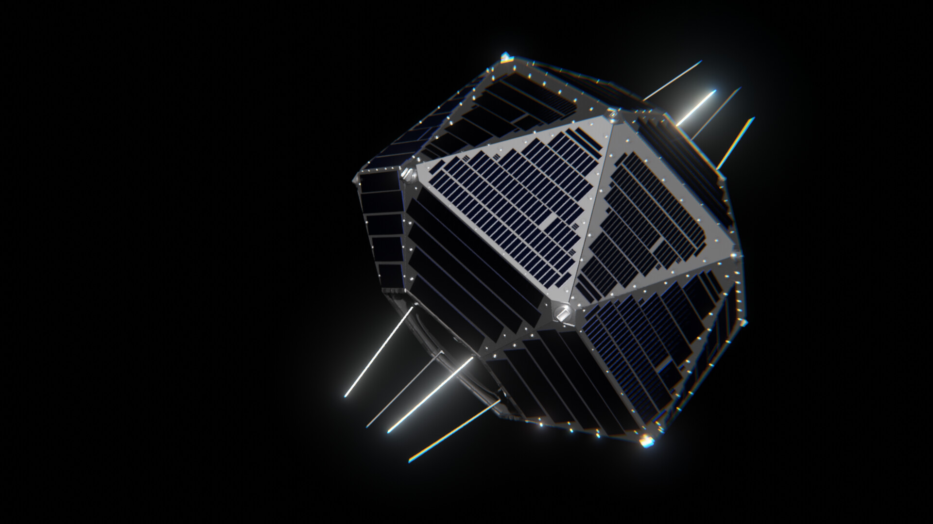
Corona Reconnaissance Satellites
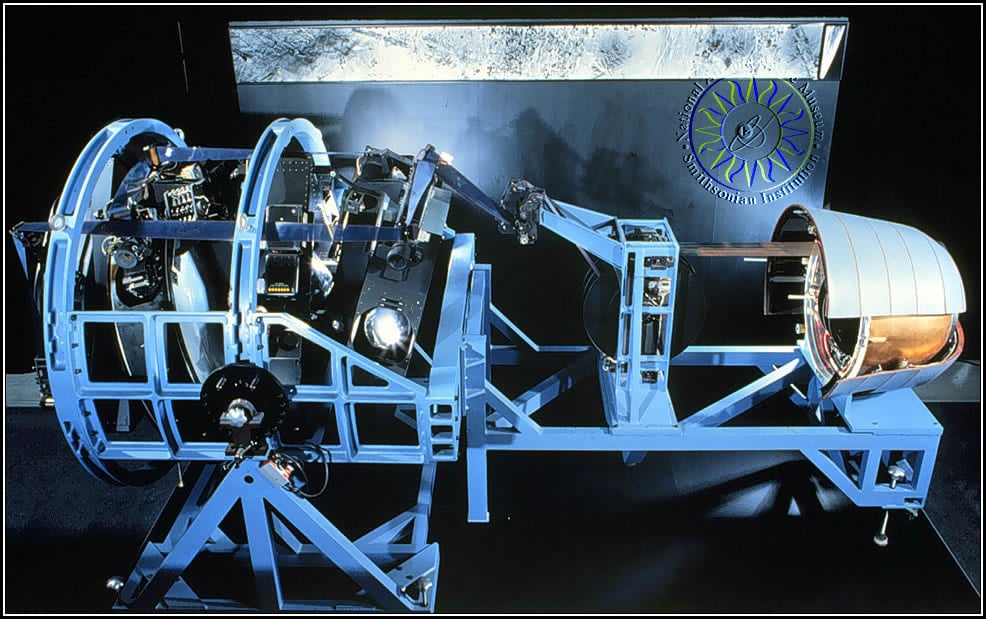
The Corona program launched America’s first successful spy satellite effort, operating from 1959 to 1972 and taking over 800,000 photographs of denied areas. These satellites used film capsules that were literally dropped from space and caught mid-air by military aircraft—like something out of a spy movie.
Corona satellites could capture images with resolution good enough to spot objects as small as 6 feet across, which was revolutionary for the time.
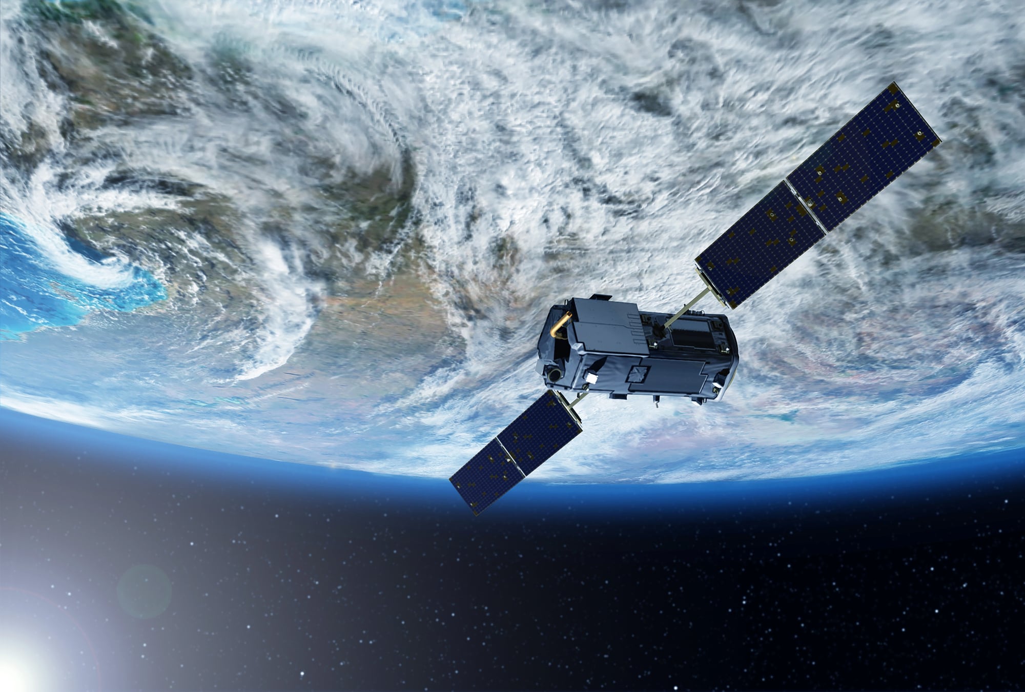
GPS Navigation System

GPS started as a military project in 1973, with the first satellite launching in 1978 and the system becoming fully operational for military use in 1993. During the 1991 Persian Gulf War, GPS proved its worth when coalition forces used it to navigate the featureless desert, giving them a massive tactical advantage over enemies who had no access to the technology.
What began as a way to guide nuclear submarines has become the backbone of modern warfare and everyday life.
Defense Support Program
DSP satellites, first launched in 1970, became the eyes watching for nuclear missile launches during the Cold War. These spinning satellites used infrared sensors to detect the heat signatures of rocket launches, providing crucial early warning with a 10-second revisit rate over any point on Earth.
During Desert Storm, DSP satellites detected Iraqi Scud missile launches and provided warnings to coalition forces and civilians in real-time.
Like Go2Tutors’s content? Follow us on MSN.
KH-11 Digital Imaging Satellites
Starting in 1976, KH-11 satellites introduced revolutionary technology that captured images electronically and transmitted them within moments—one of the earliest uses of digital camera technology. Unlike their film-dropping predecessors, these satellites could send intelligence back to Earth in near real-time.
Modern versions are so advanced they can determine the make and model of a car from hundreds of miles in space.
GRAB Signals Intelligence Satellites
America’s first operational reconnaissance satellite wasn’t actually Corona—it was the Navy’s GRAB satellite, launched in June 1960 under a cover story about studying solar radiation. GRAB satellites pioneered signals intelligence from space by intercepting enemy radar and communications signals, providing critical electronic intelligence that would shape Cold War strategy.
The program’s existence remained secret for nearly four decades.
Vela Nuclear Detection Satellites
First launched in 1963, Vela satellites used X-rays and gamma-rays to detect nuclear weapons tests anywhere on Earth. These watchful sentinels could spot nuclear detonations whether they happened underground, underwater, or in the atmosphere.
Ironically, while monitoring nuclear tests, Vela satellites made an unexpected scientific discovery—they detected gamma-ray bursts from distant galaxies, opening up an entirely new field of astronomy.
Like Go2Tutors’s content? Follow us on MSN.
Milstar Military Communications
The Milstar constellation, managed by the U.S. Space Force, consists of satellites launched between 1994 and 2003 that provide secure, jam-resistant military communications worldwide. These satellites offer both wideband systems for high-bandwidth transfers and protected systems with anti-jam features and nuclear survivability.
Think of them as the military’s private internet in space, connecting forces across the globe with encrypted communications.
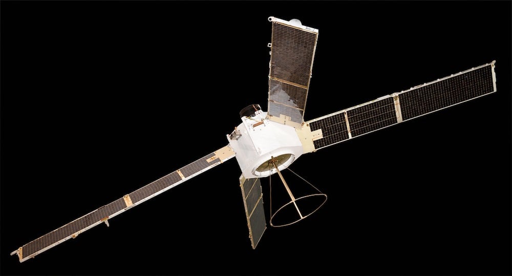
Synthetic Aperture Radar Satellites
Space-based radar systems use synthetic-aperture radar technology that can see through clouds and darkness, providing all-weather reconnaissance capabilities. Unlike optical satellites that need clear skies and daylight, radar satellites can peer through storms and darkness to track enemy movements.
The earliest known systems were the Soviet US-A series, which demonstrated that space-based radar could revolutionize intelligence gathering.
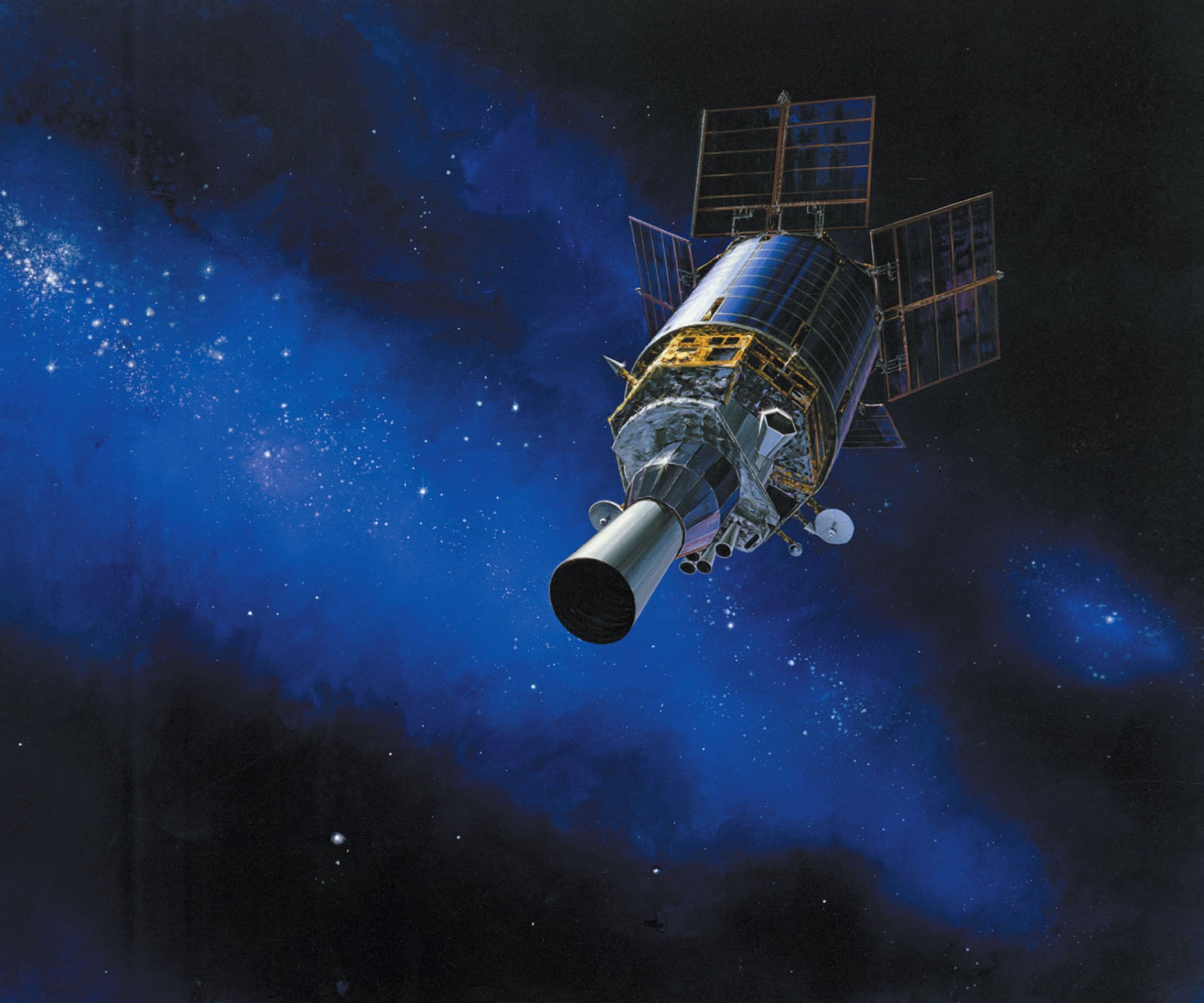
Space-Based Infrared System
SBIRS represents the next generation of missile warning technology, designed to replace the aging DSP satellites with more sophisticated infrared sensors. These satellites can detect strategic and theater ballistic missile launches with three times the sensitivity of legacy systems and twice the revisit rate.
SBIRS can simultaneously scan large territories and zoom in on specific areas of interest, making it incredibly versatile for modern threats.
Like Go2Tutors’s content? Follow us on MSN.
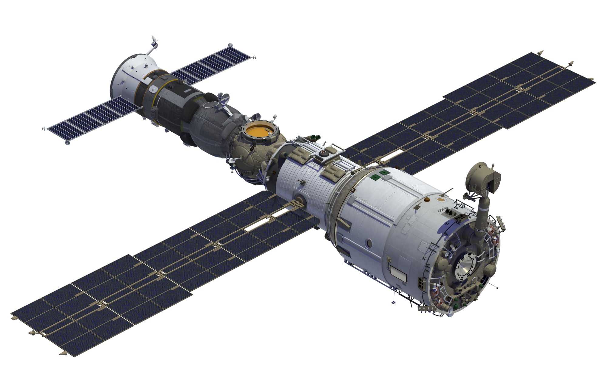
Zenit Reconnaissance Program
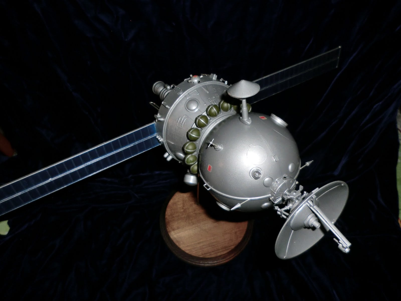
The Soviet Union’s Zenit satellites, launched from 1961 to 1994, shared their design with the famous Vostok spacecraft that carried Yuri Gagarin into space. Instead of carrying cosmonauts, these satellites contained cameras and film for reconnaissance missions.
Zenit proved that both superpowers recognized the strategic value of space-based intelligence and were willing to invest heavily in orbital reconnaissance capabilities.
Transit Navigation System
Transit, the world’s first global satellite navigation system, launched its first satellite in 1960 and was specifically designed to help Navy missile submarines get accurate position fixes before launching their ballistic missiles. By 1968, a constellation of 36 Transit satellites provided navigation accuracy to tens of meters and improved Earth’s land area mapping by nearly two orders of magnitude.
Transit operated for 28 years until GPS replaced it in 1996.
MIDAS Early Warning System
The Missile Defense Alarm System, with its first successful launch in May 1960, pioneered space-based infrared detection of missile launches. MIDAS was designed as a 12-satellite constellation to give U.S. leaders enough warning of a Soviet ICBM attack to respond before American nuclear forces could be destroyed.
Between 1960 and 1966, 12 MIDAS launches deployed increasingly sophisticated sensors that led directly to the development of the more advanced DSP system.
Like Go2Tutors’s content? Follow us on MSN.
White Cloud Ocean Surveillance
The Naval Research Laboratory’s White Cloud program used space-based sensors to track naval movements and monitor ocean activities. These satellites could detect and track ships across vast ocean areas, giving naval intelligence unprecedented awareness of enemy fleet movements.
The program built on the technological foundation established by earlier NRL satellite programs and provided crucial maritime intelligence during tense Cold War naval operations.
Canyon Signals Intelligence Satellites
The Canyon program conducted seven launches between 1968 and 1977, focusing on intercepting communications and electronic signals from space. These large satellites positioned themselves in strategic orbits to eavesdrop on enemy communications across wide geographic areas.
Canyon satellites were among the first to demonstrate that space could serve as an ideal platform for large-scale signals intelligence operations.
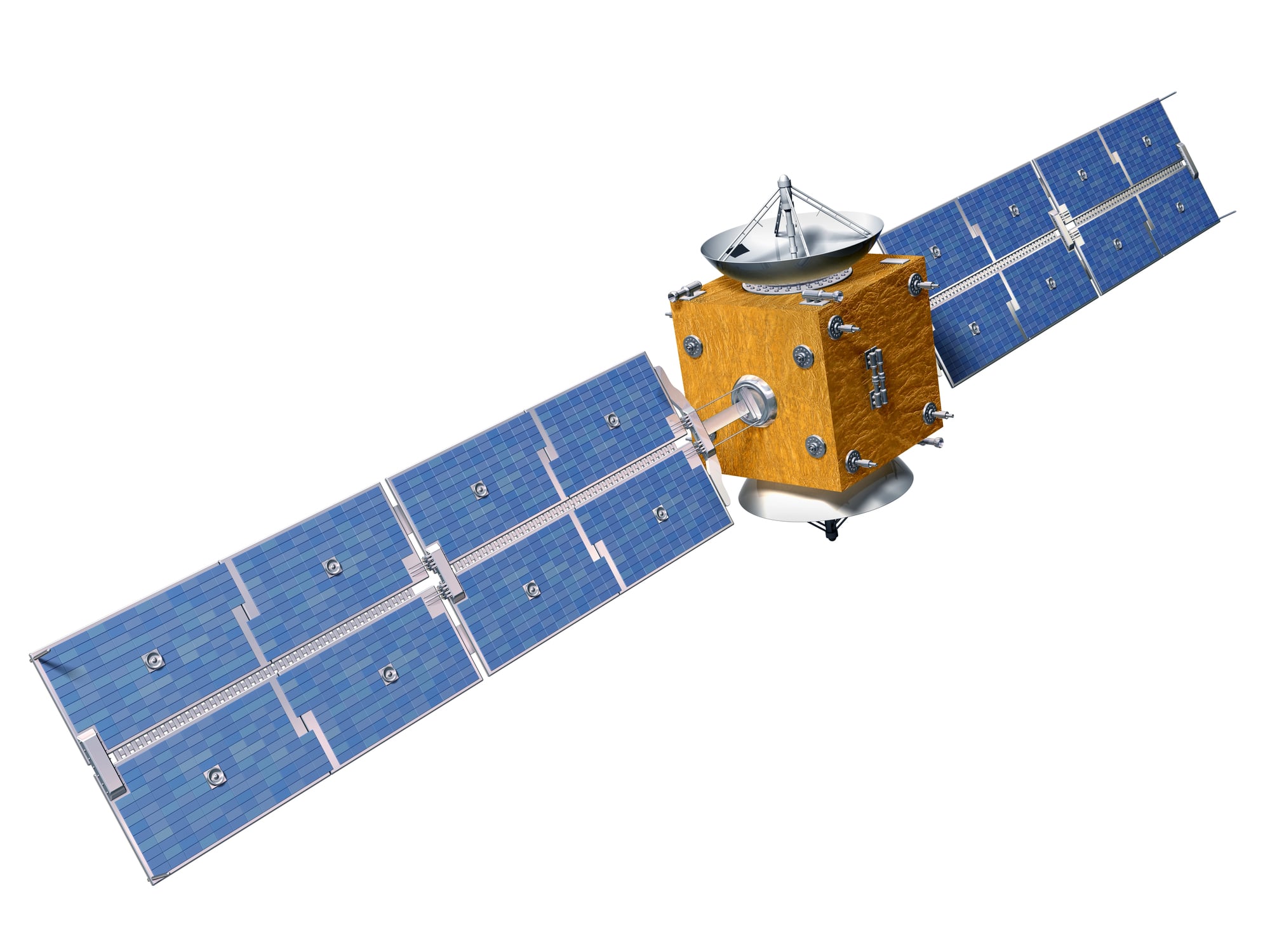
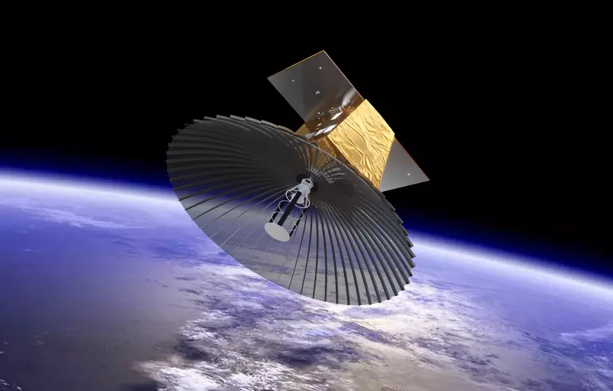
Aquacade and Orion Programs
Following Corona, the U.S. developed the Aquacade and Orion programs, with Orion satellites rumored to carry massive 100-meter dish antennas for communications interception. The Orion satellites, first launched in 1985, supposedly used their enormous antennas for eavesdropping on radio communications worldwide.
These programs showed how satellite technology was evolving toward more specialized and powerful intelligence-gathering capabilities.
Like Go2Tutors’s content? Follow us on MSN.
Space Tracking and Surveillance System
STSS evolved from the original SBIRS-Low program and focuses specifically on tracking ballistic missiles throughout their flight paths. The system was designed to discriminate between actual warheads and decoys during the middle portions of missile flights, using both scanning and tracking infrared sensors.
STSS represents the cutting edge of space-based missile defense, providing detailed tracking information to help intercept incoming threats.
From Film Canisters to Digital Dominance
Looking back at this technological journey, it’s remarkable how far space-based intelligence has traveled from those early Corona satellites dropping film canisters into the Pacific Ocean. What President Lyndon Johnson said in 1967 still rings true: the knowledge gained from space photography was worth ten times what the entire space program cost because it revealed exactly how many missiles potential enemies possessed.
These 17 technologies didn’t just change military intelligence—they provided the foundation for the connected, GPS-enabled world we live in today. As one intelligence expert noted, reconnaissance satellites were an achievement ‘every bit as impressive as the Apollo Moon landings,’ yet they remain largely hidden from public view.
The next time you use GPS to find a restaurant or check satellite weather images, remember that you’re using technology born from the intense competition to gain the ultimate intelligence advantage from space.
More from Go2Tutors!

- 18 Unexpectedly Valuable Collectibles You Might Have Lying Around
- 20 Little-Known Historical Battles That Had Huge Consequences
- 20 Historical Artifacts That Scientists Can’t Explain
- 15 Inventions That Were Immediately Banned After Being Created
- 20 Actors Who Were Almost Cast in Iconic Roles
Like Go2Tutors’s content? Follow us on MSN.